16–17 September – Williams Lake—Valemount – From desert to mountains

This article is part of the series “2026-09: Canada”.

16 September

After two overnight stays in Williams Lake it is time for Annika and me to move on. Flexibility is more important to us than ticking off a list of must-see attractions. Since affordable hotels, motels, hostels and B&Bs are quite limited this flexibility sometimes leads us to places off the tourist trails. Did you, for example, ever hear of Little Fort? We didn’t either, but this is our next stay.

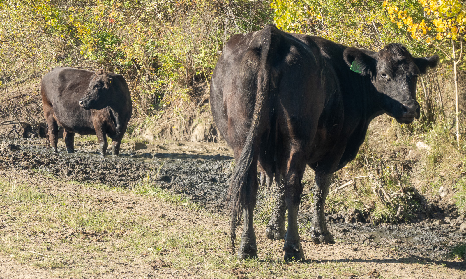
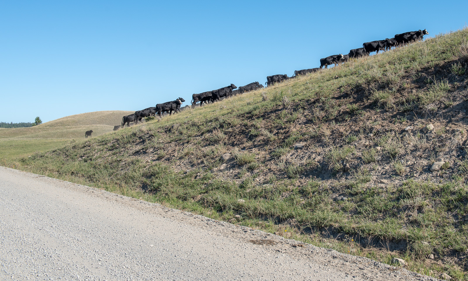
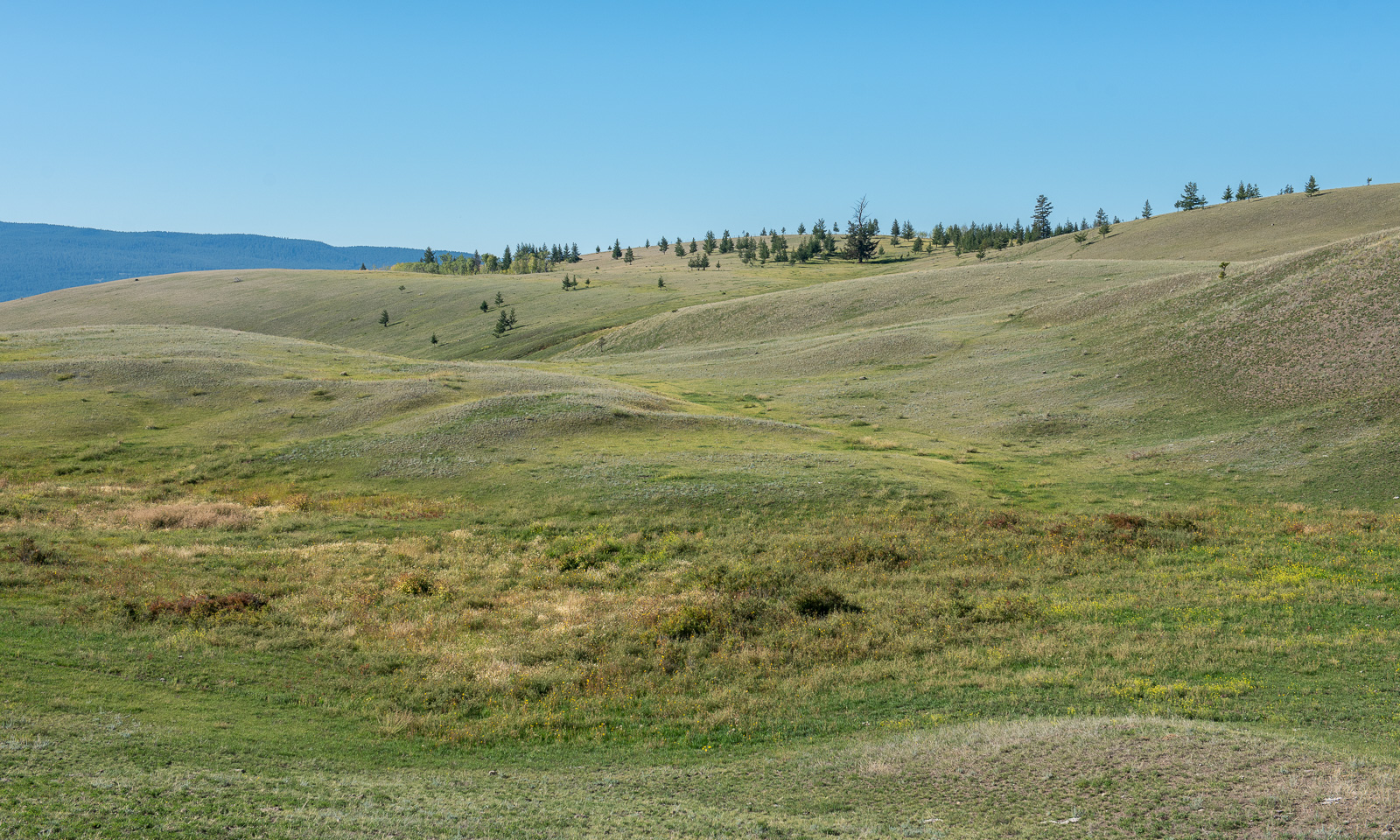
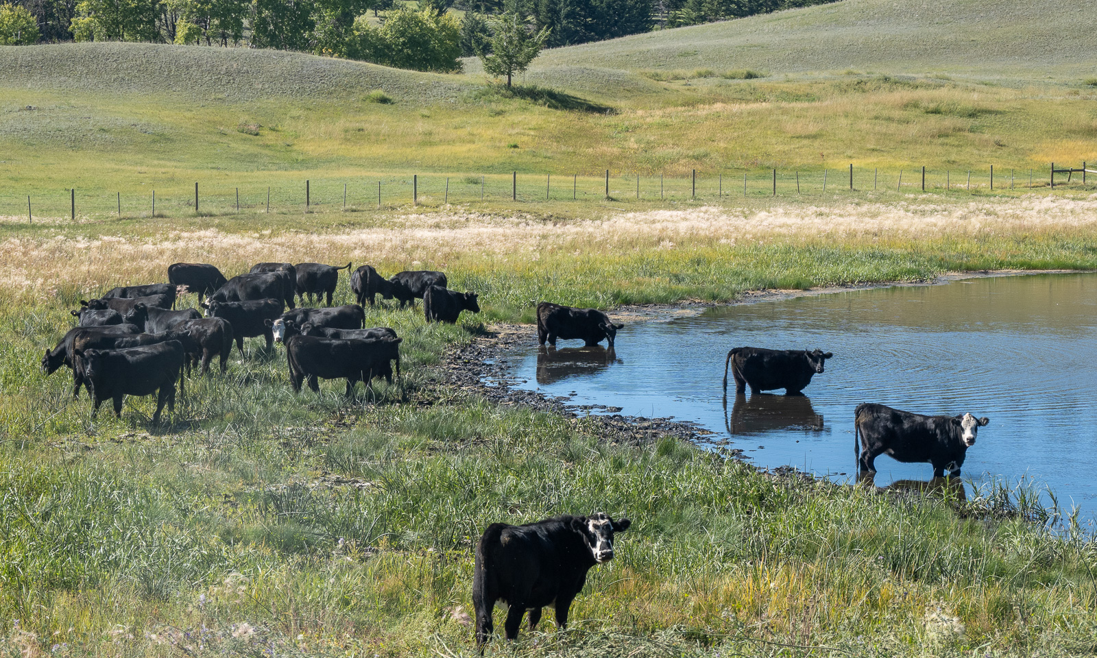
But first we go south to explore Farwell Canyon. On the way there we drive through hilly landscapes and grassy meadows. The cattle stand on the meadows, by the lakes, in the mud beside the road and on the road itself, too.
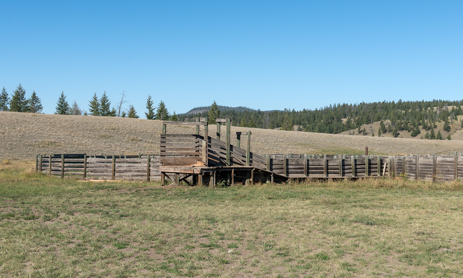
When you drive through Lapland you may see the sorting corrals for the reindeer. Here I see a fenced area that looks very similar, however this corral is for cattle.
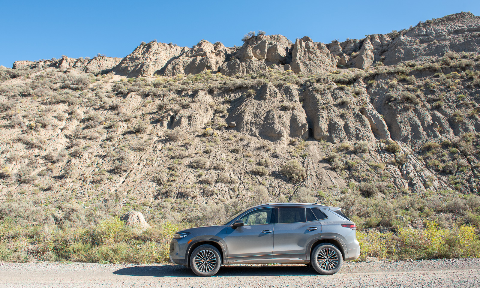
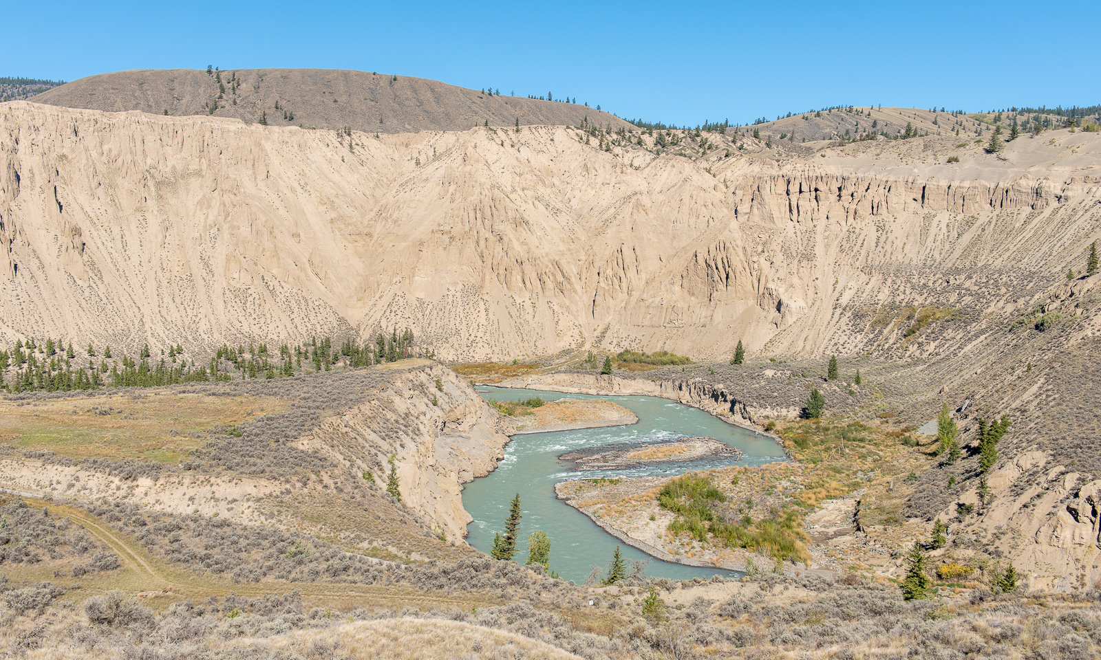
While we are approaching Farwell Canyon the landscape changes. It becomes drier and you can see the eroded hills.

The road to the canyon provides impressive views of the canyon and the Chilcotin River.
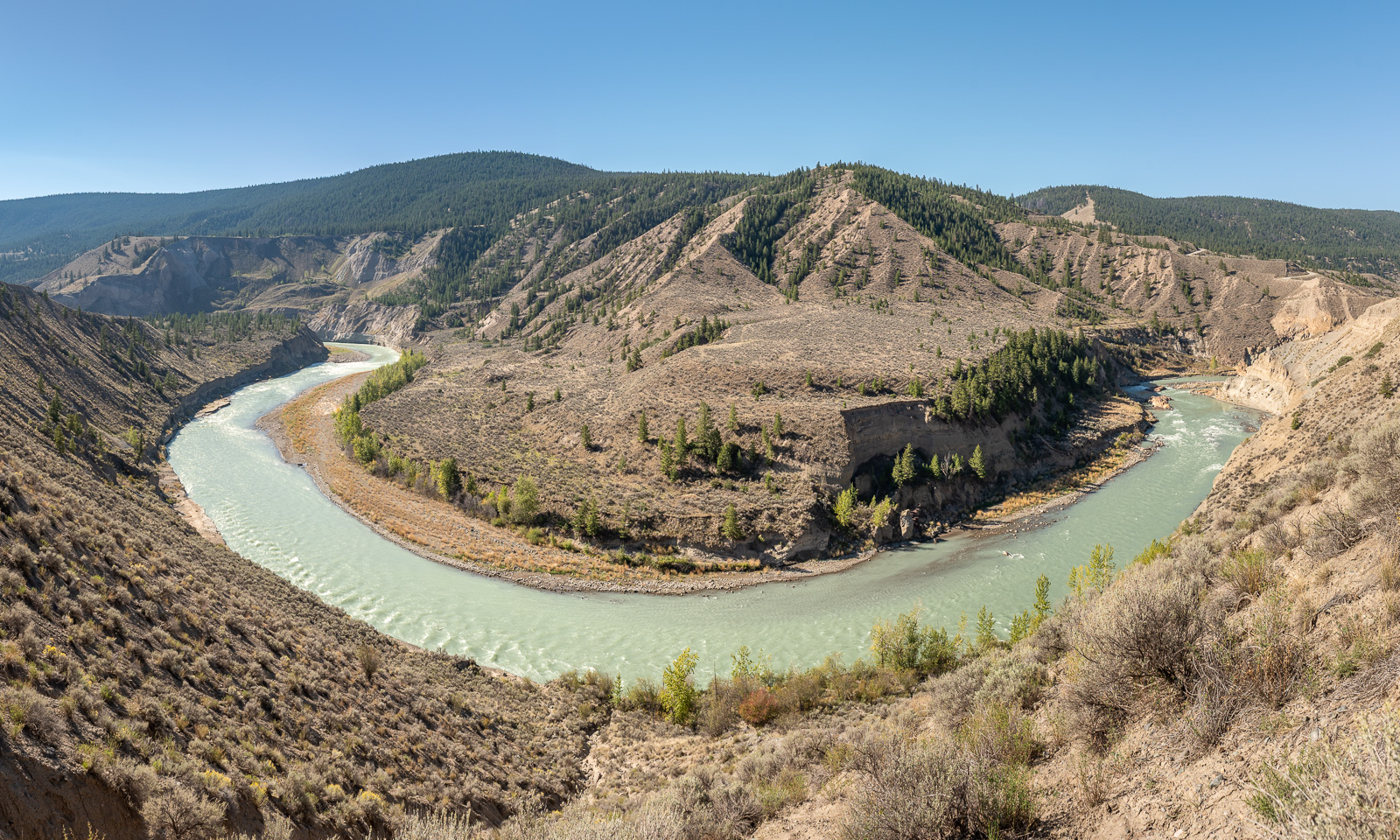
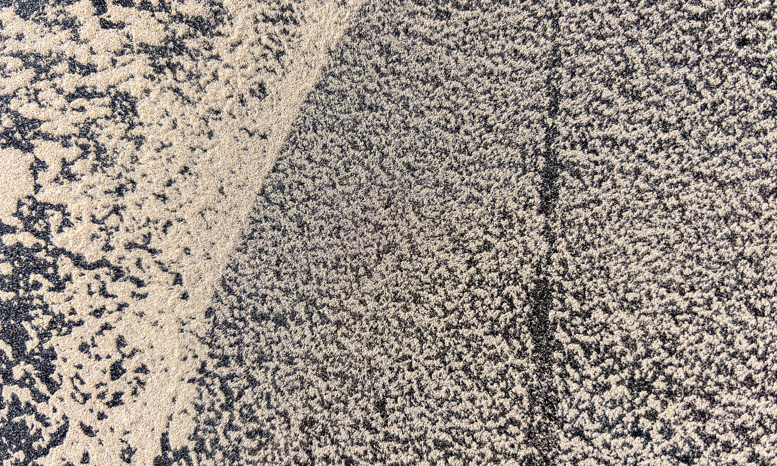
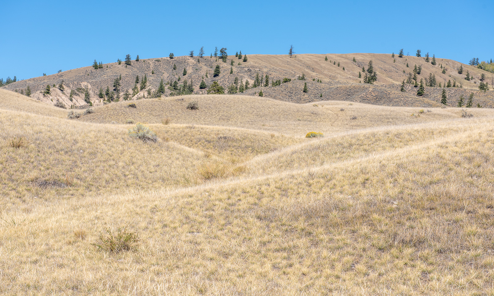
We want to cross that river but first we turn back to a parking place to explore the “Farwell Canyon Sand Dune Trail” which leads to sand dunes with desert-like conditions. However, we only walk part of it because it is warm and we have forgotten to take water with us.
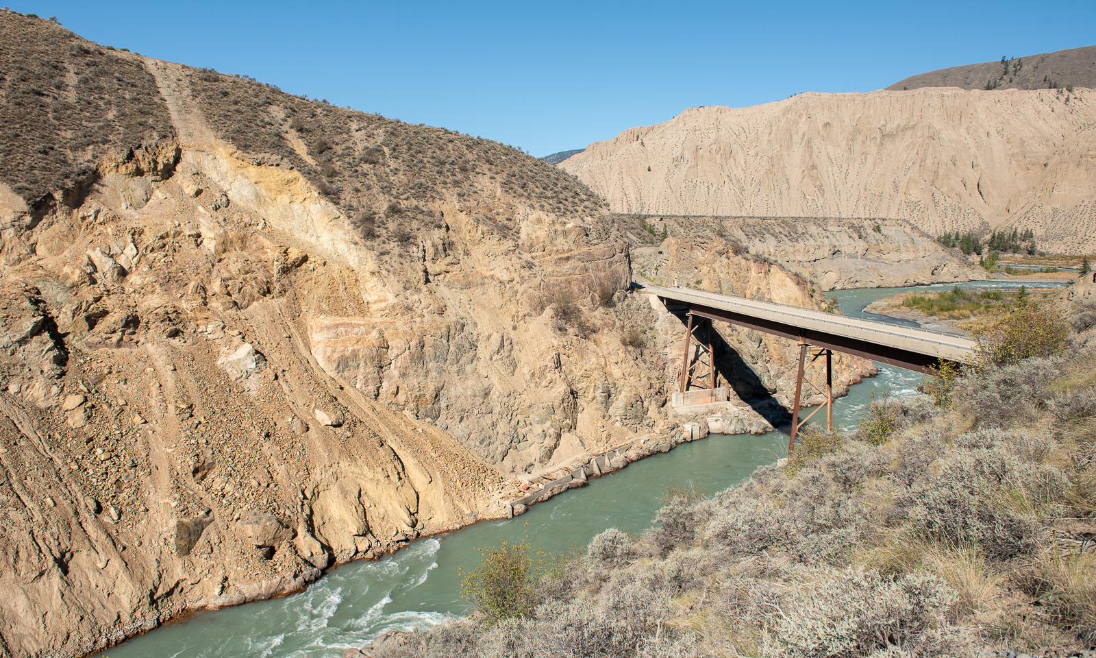
Time to turn again, drive down the hairpin bends to the bridge over the river and up the other side. Here the road becomes smaller and smaller and also rougher. We could follow this road to meet the highway 97 in the southeast.
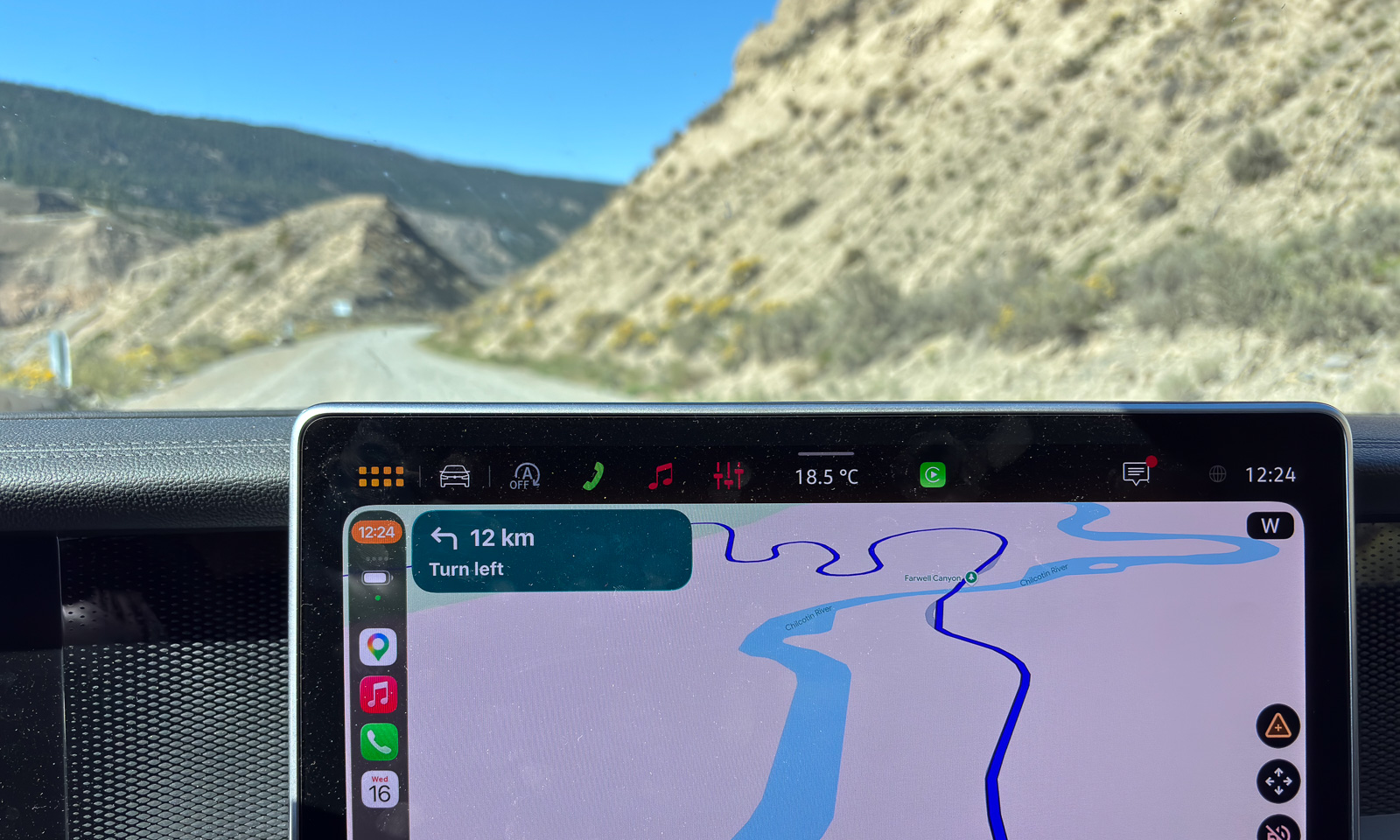
The problem is that we had to cross Fraser River on the Gang Ranch Suspension Bridge and we cannot find any information whether we can cross it by car or not. Since the dirt road is narrow and rough and the drive would be long and bumpy I suggest turning again.

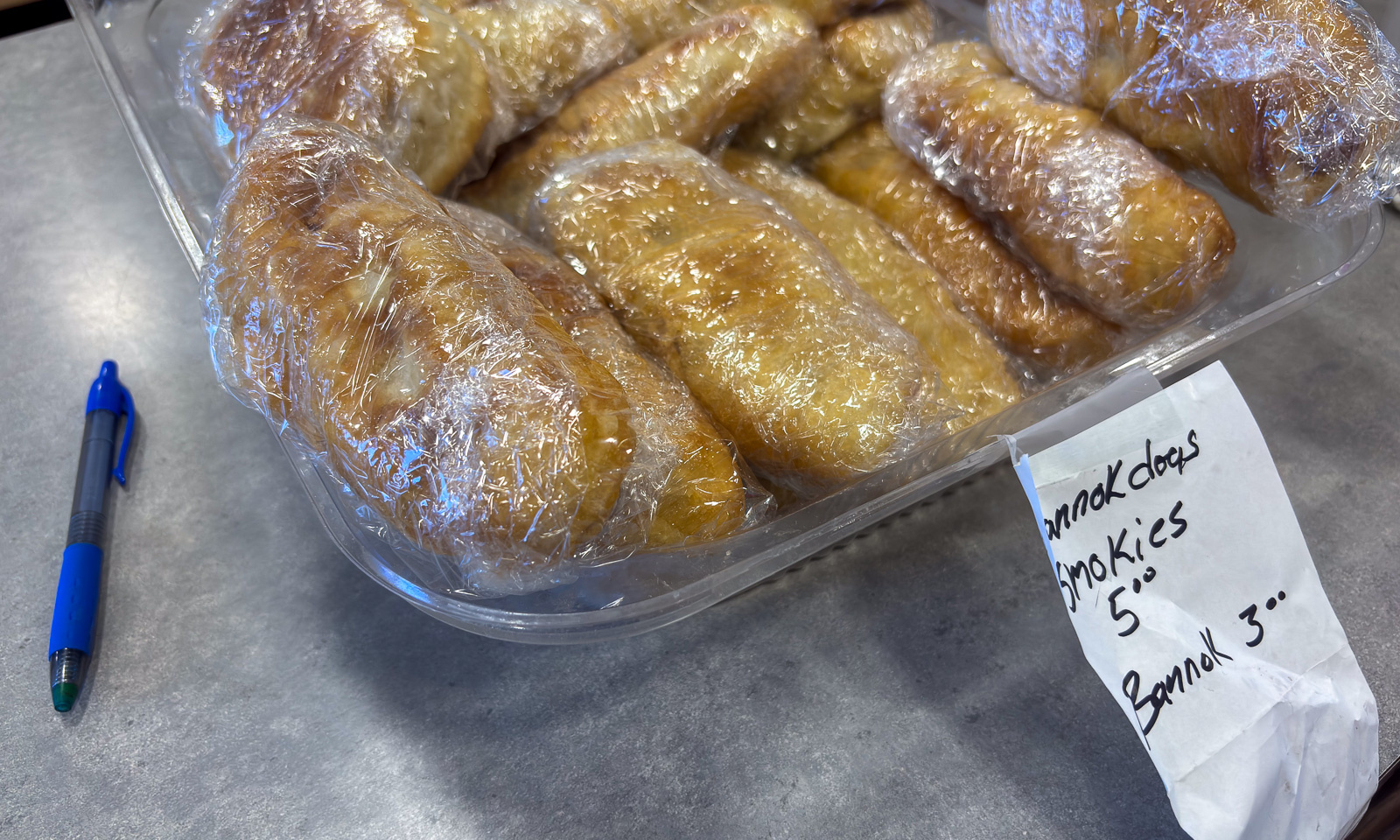
So we see it all again, the hairpin bends downwards, the canyon, the river, the bridge, the hairpin bends upwards, the car park for the trail and even the Toosey Band Gas Station that we passed hours ago. It had been opening by the Tl’esqox First Nation three months ago. We fill up the car and buy bannock for lunch. Normally I do not like hot dogs, but the smoked sausage in that type of bread is delicious.
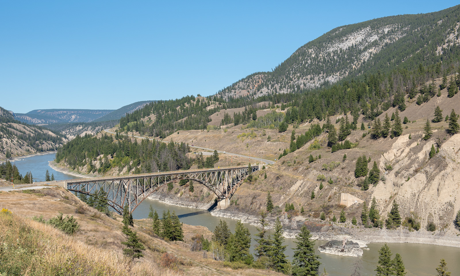
Soon we are back on British Columbia Highway 20 where we cross Fraser River on a more boring but somehow also more reliable bridge.
After passing Williams Lake again we take the 97 southeast. The names of the villages: 150 Mile House, 151 Mile House, 108 Mile Ranch, 105 Mile House … . The names originate from the distances to the town of Lillooet on the Cariboo Wagon Road during the Cariboo Gold Rush of the 1860s.

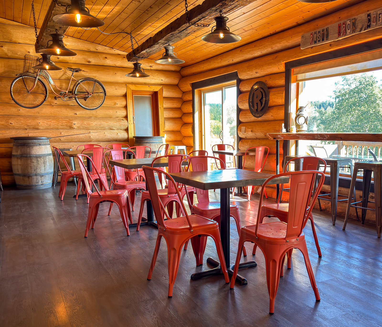
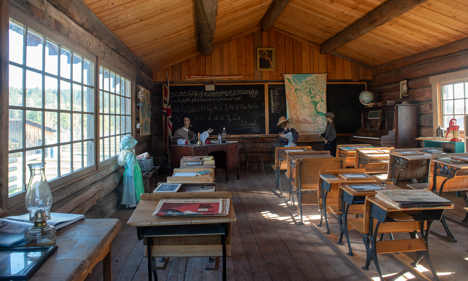
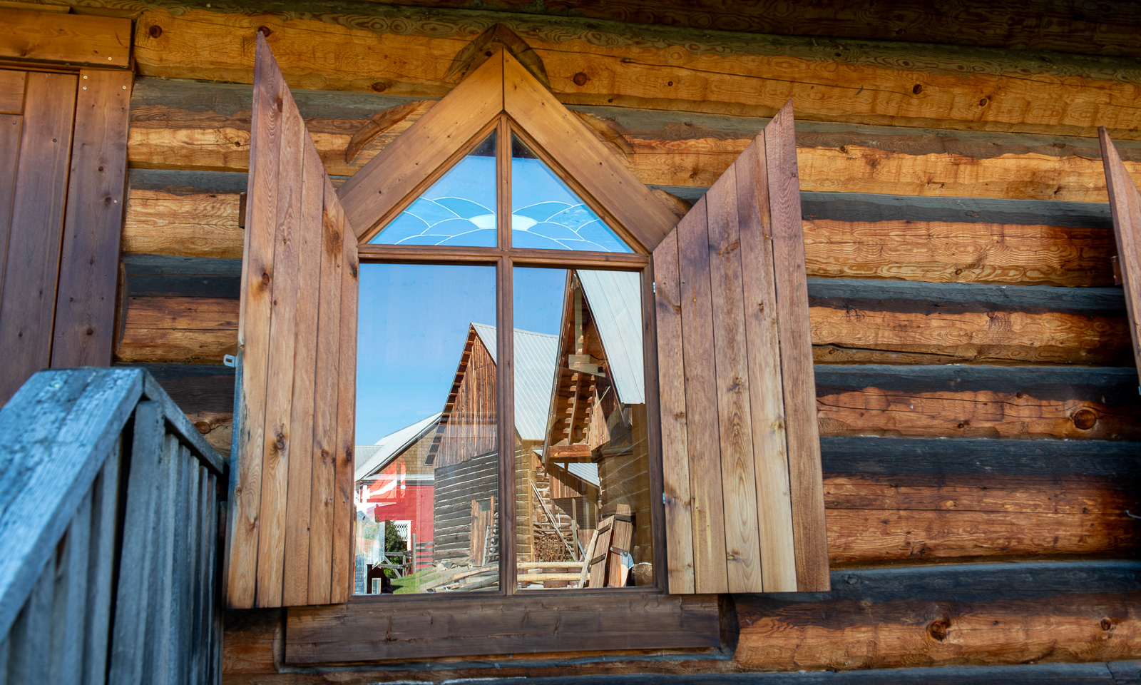
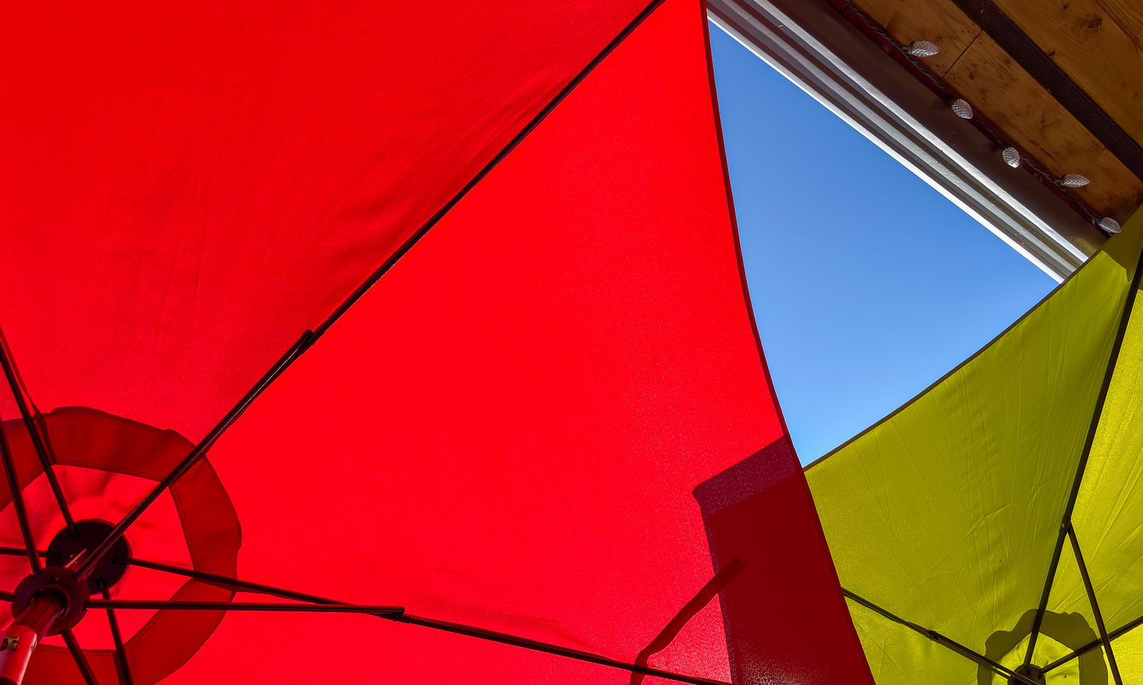
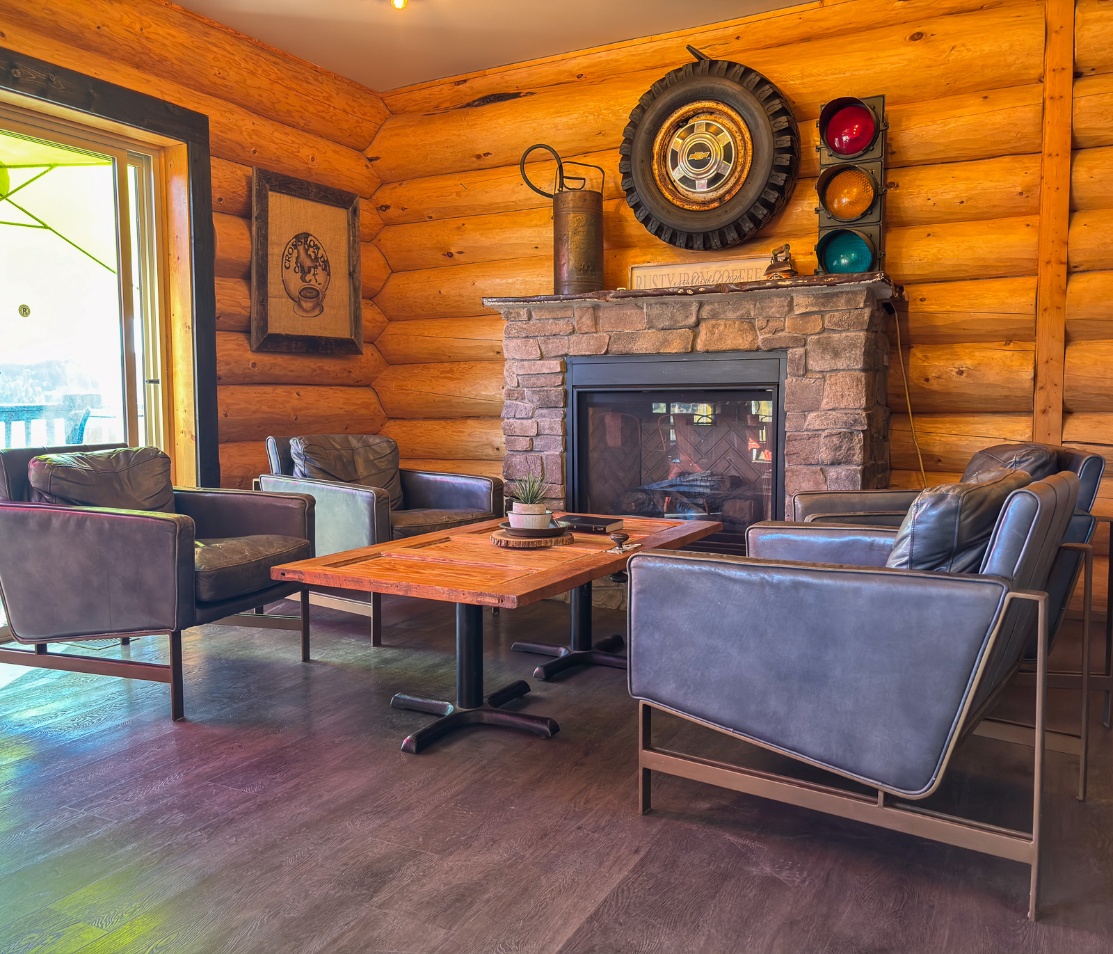
In the Rusty Iron Coffee Co. we get a coffee and a bun just before closing. Lucky us! My espresso is outstanding and the café is very cosy. Anyhow we sit outside enjoying the warm and sunny weather. Then we explore the 108 Heritage Site nearby with its old buildings such as a school and a church before we continue on to Little Fort, where we arrive at half past six.
17 September

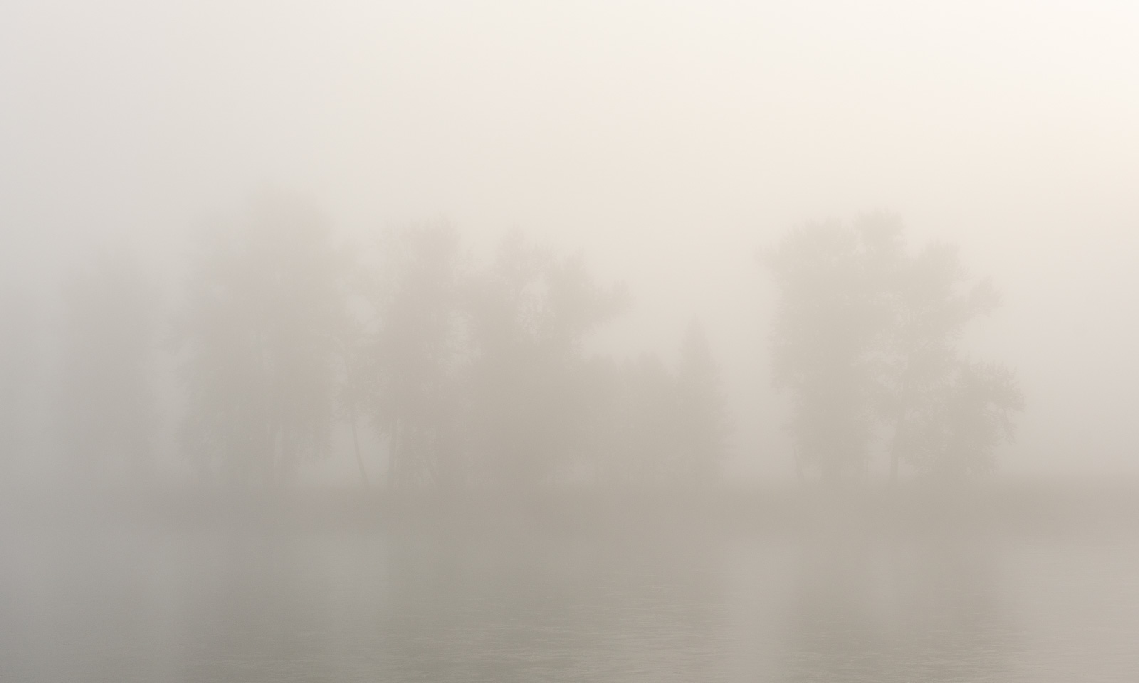
Where is the North Thompson River? It was there the day before. Now it is hidden by fog that covers the whole valley. Only a slightly brighter spot reveals the position of the sun.
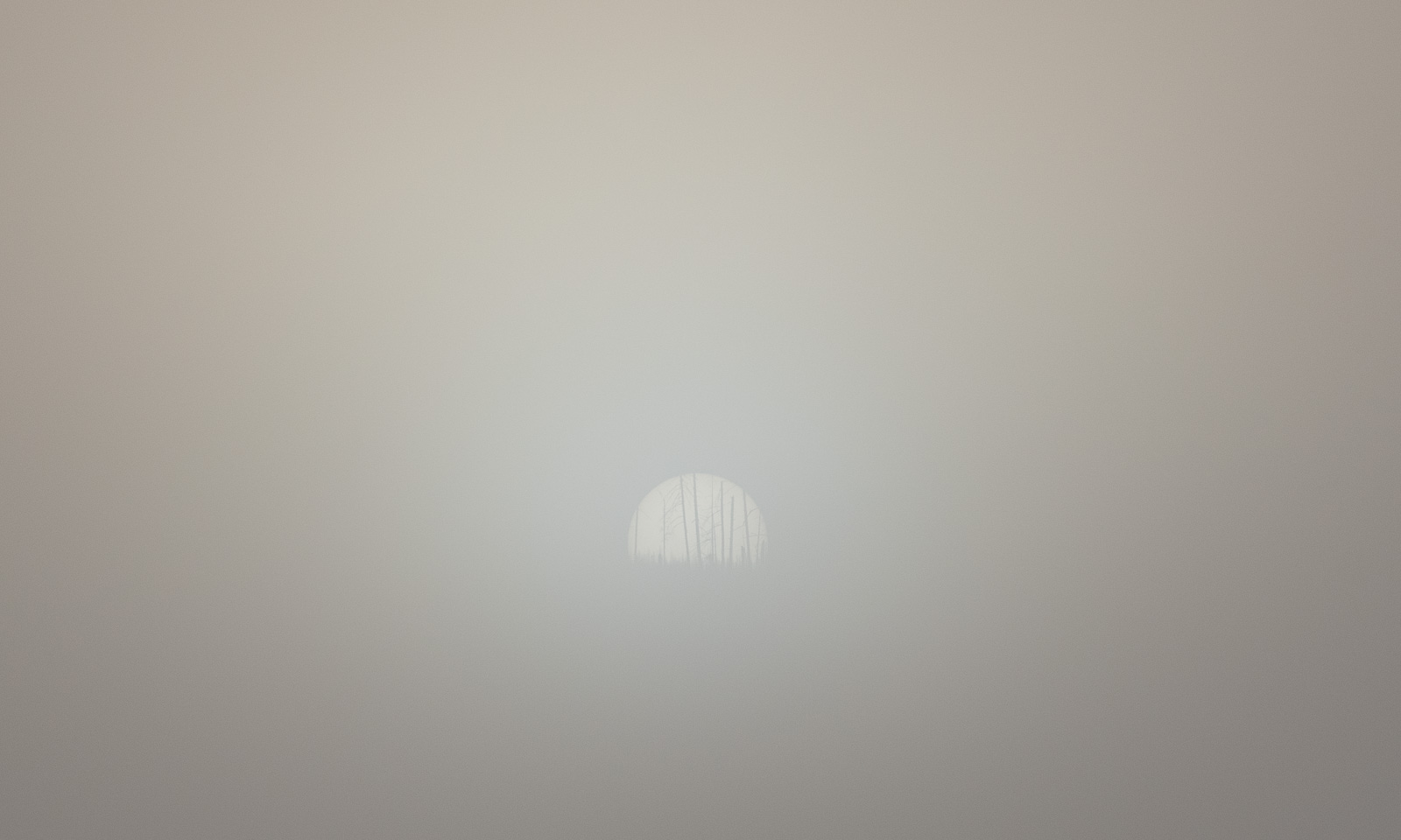
But it is only a matter of time until the sun wins and evaporates the fog.
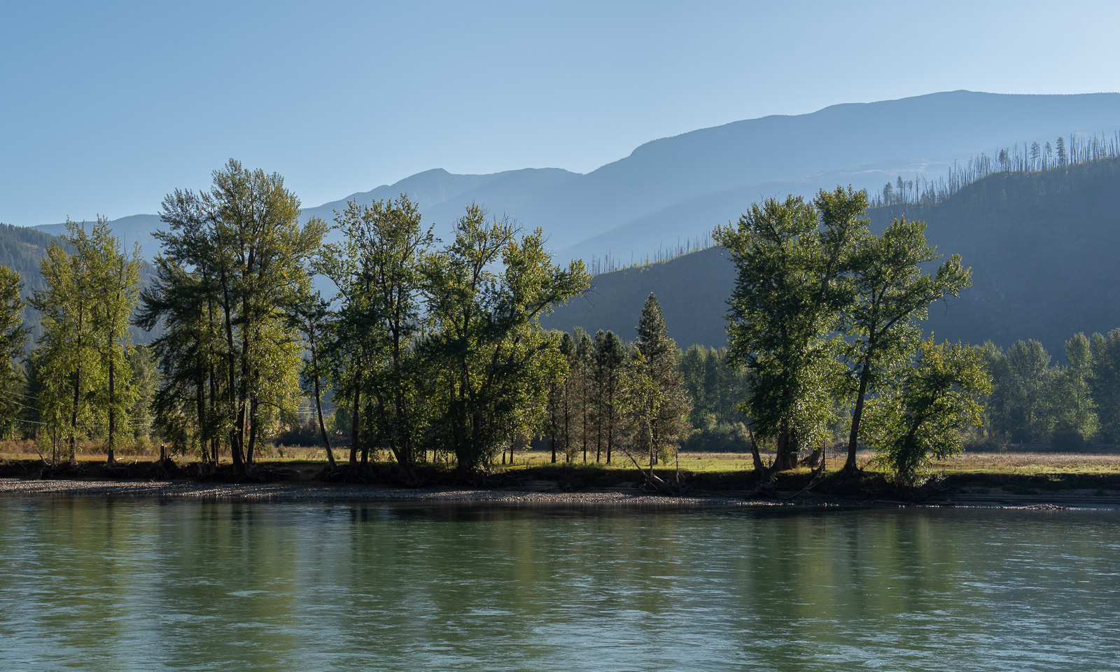
Today we will head to Valemount, where our next overnight stop is located. We have only to follow Highway 5 for 200 km, then we are there.  It will be a short day. Hahaha! Hihi! We already have learnt that every day of travelling in Canada is a full day because there is so much to discover, with or without detours.

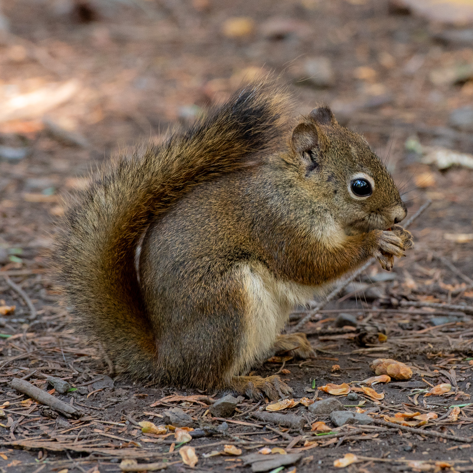
Today we take a detour. We leave Highway 5 in Clearwater to visit the Wells Gray Provincial Park which is famous for its many waterfalls. The first motif however is not water falling down but a North American red squirrel. It is very busy, not very shy and I can take some photos.
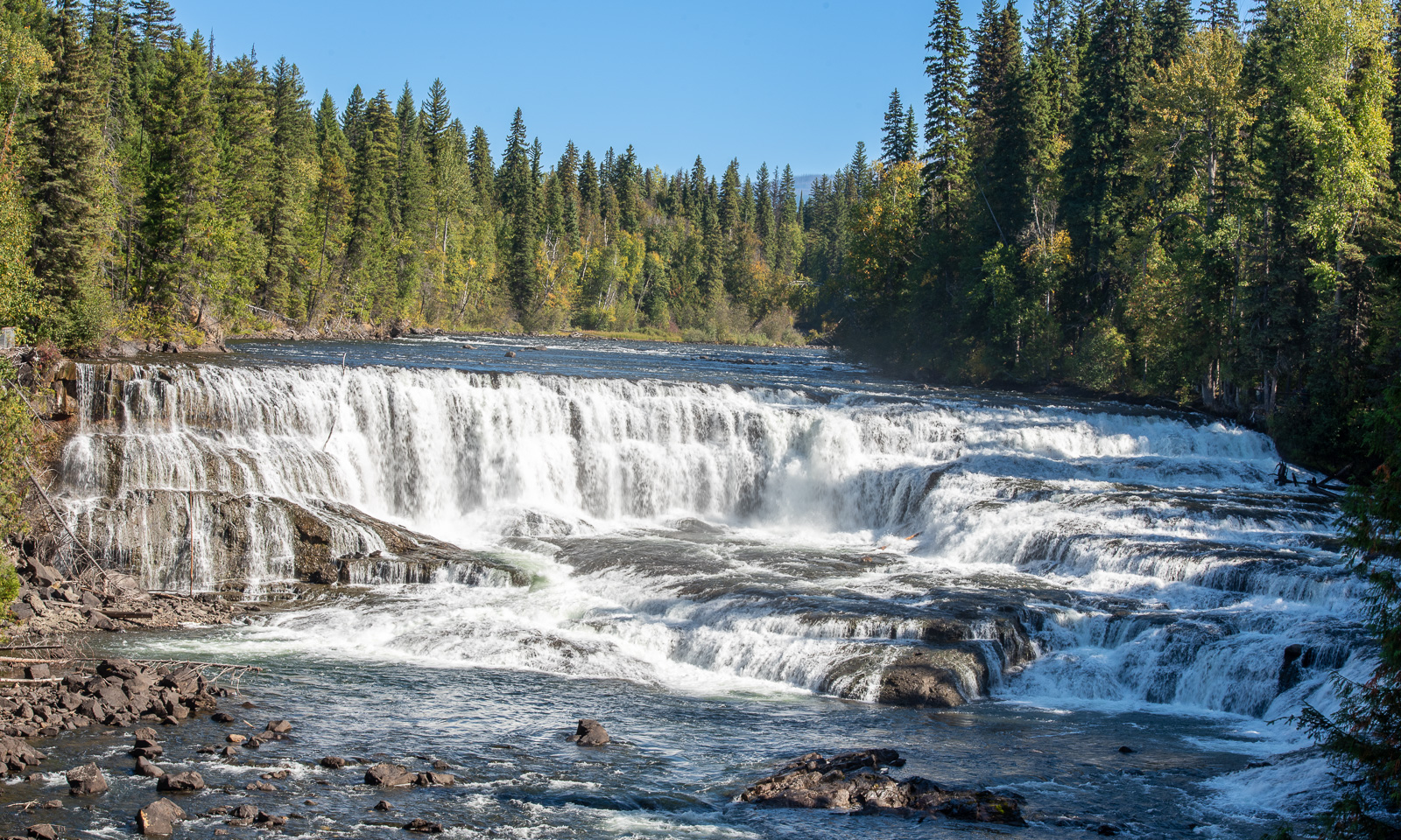
Then the waterfalls: we do not visit them all, some need a hike to get there and some do not sound so interesting. So I’ll show two of them. First, Dawson falls, not very deep but broad. You can access the shore of the Murtle River and watch it from there while listening to its constant droning.
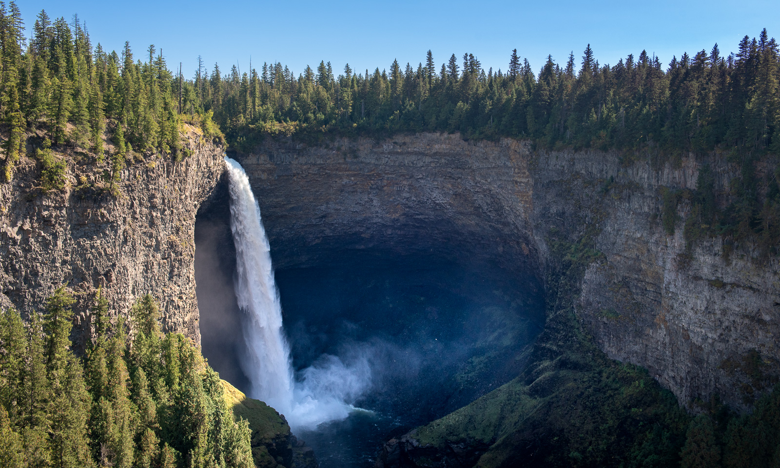
Then Helmcken Falls, where the same river falls 141 metres into a canyon. Equally impressive, but from the viewing platform you are pretty far away.
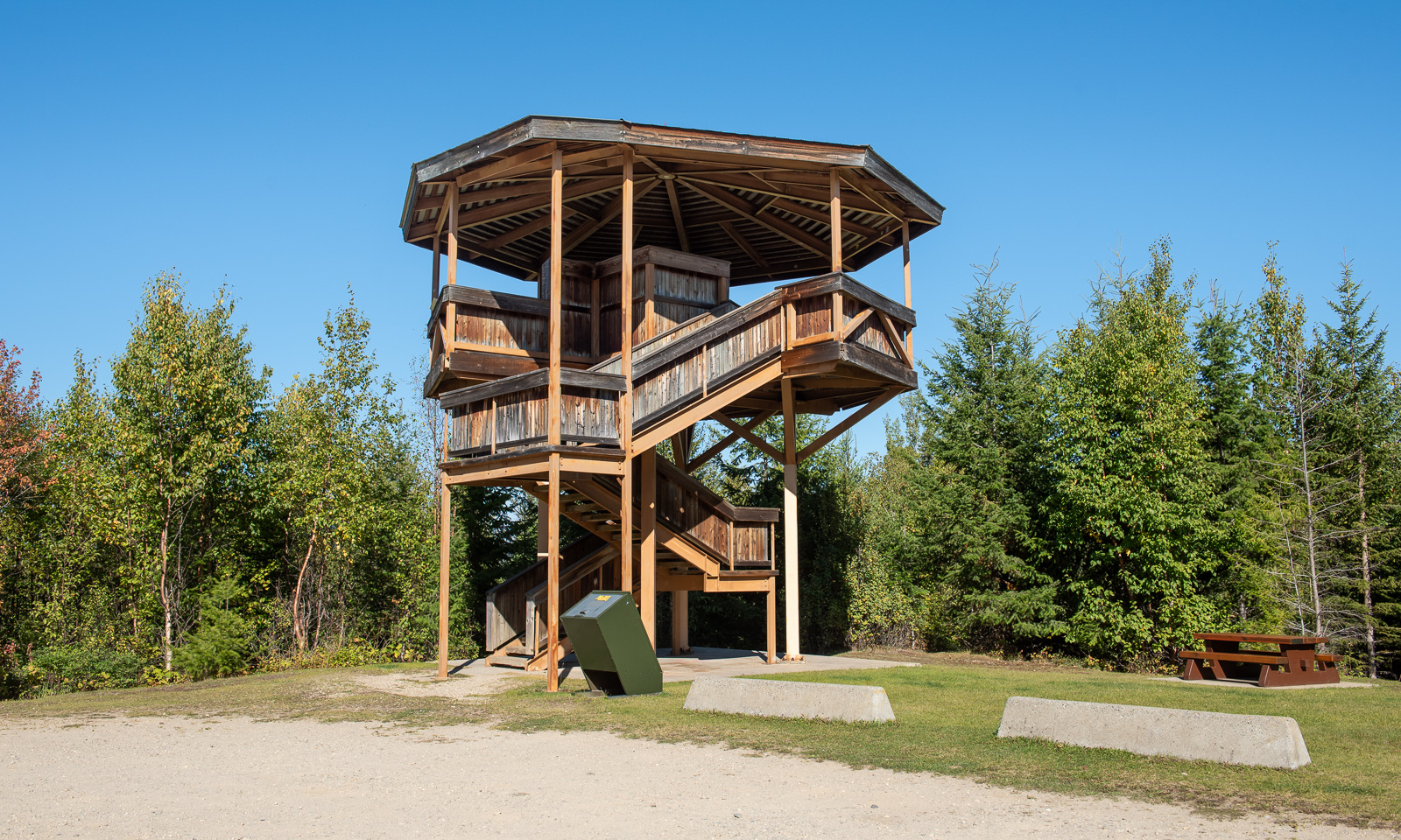
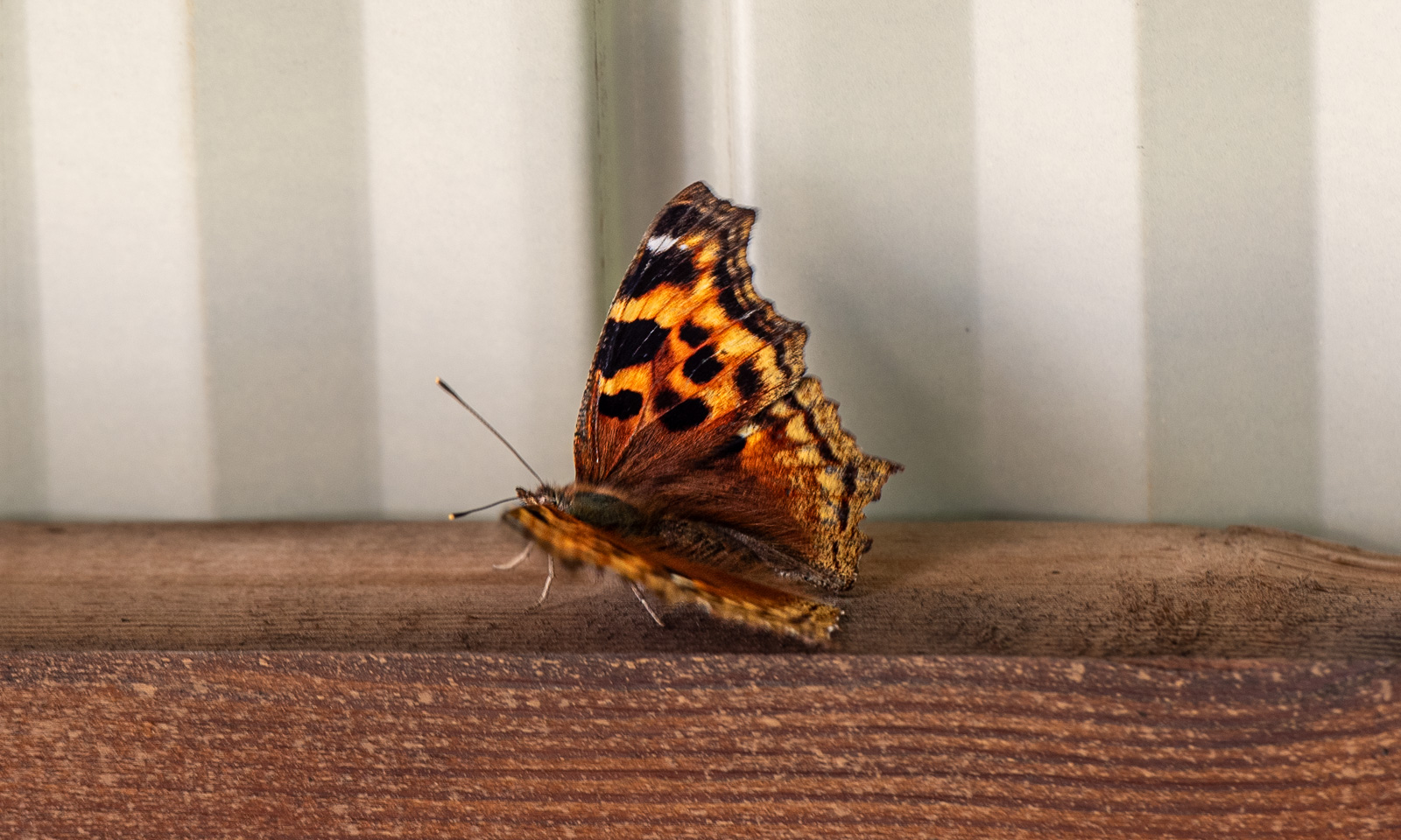
We take the dirt road to the Green Mountain Trail. We were not alone at the waterfalls – here we are. It’s only we two and a lot of butterflies – probably from the genus Polygonia – fluttering around the viewing tower.
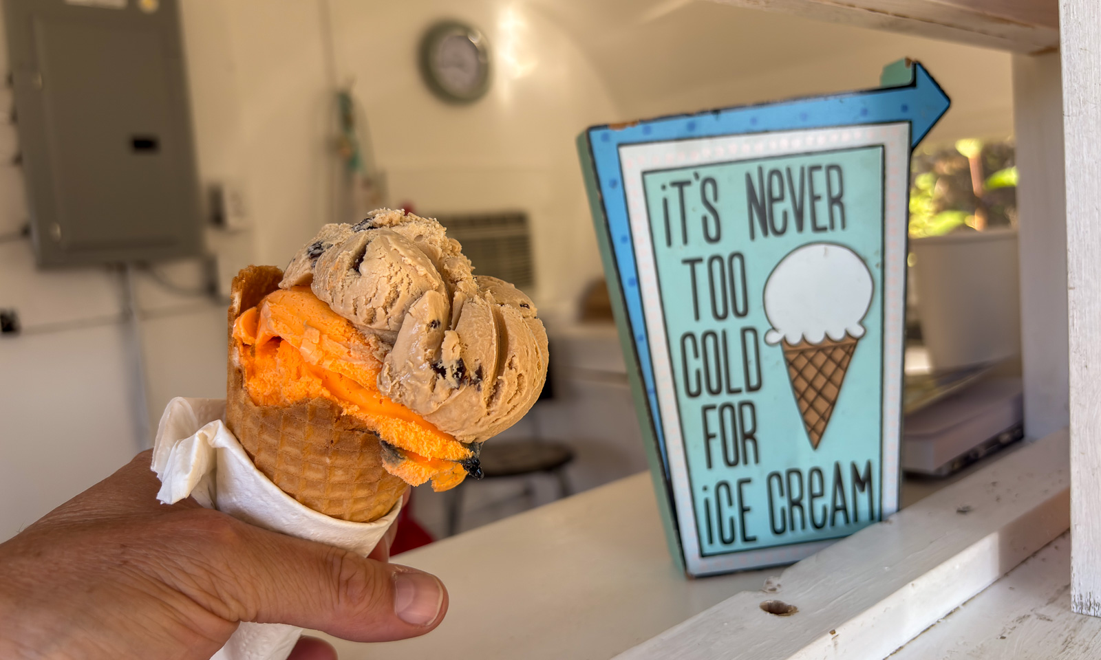
On our way back we spot an ice cream sign by the road. That’s always a reason to stop. The ice lady is kind and funny, the ice cream is delicious and the scoops enormous. And I like the sign which says: “It’s never too cold for ice cream.” So true.
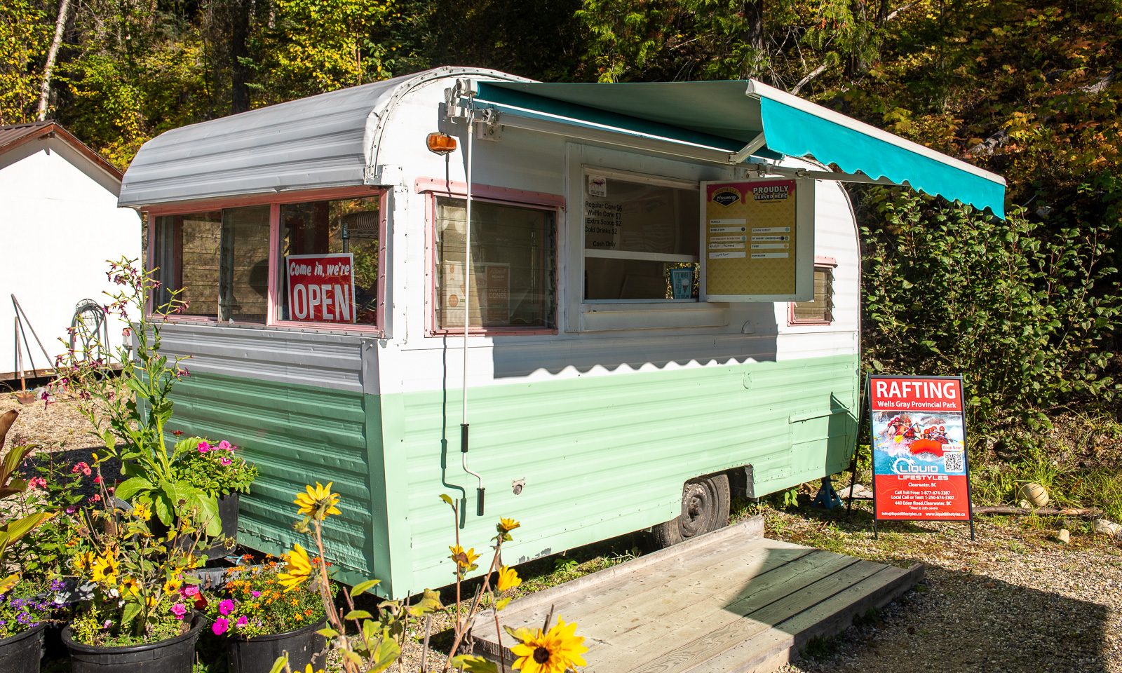
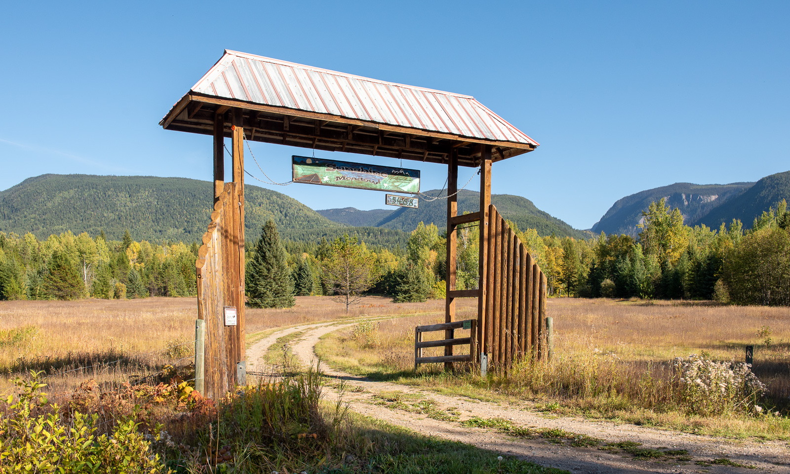
Just another stop to the picture of the ranch entrance …
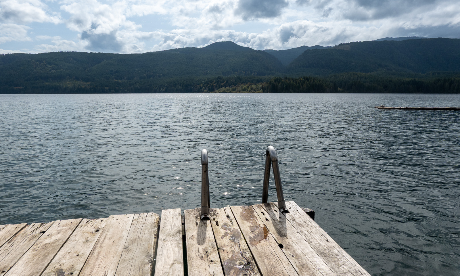
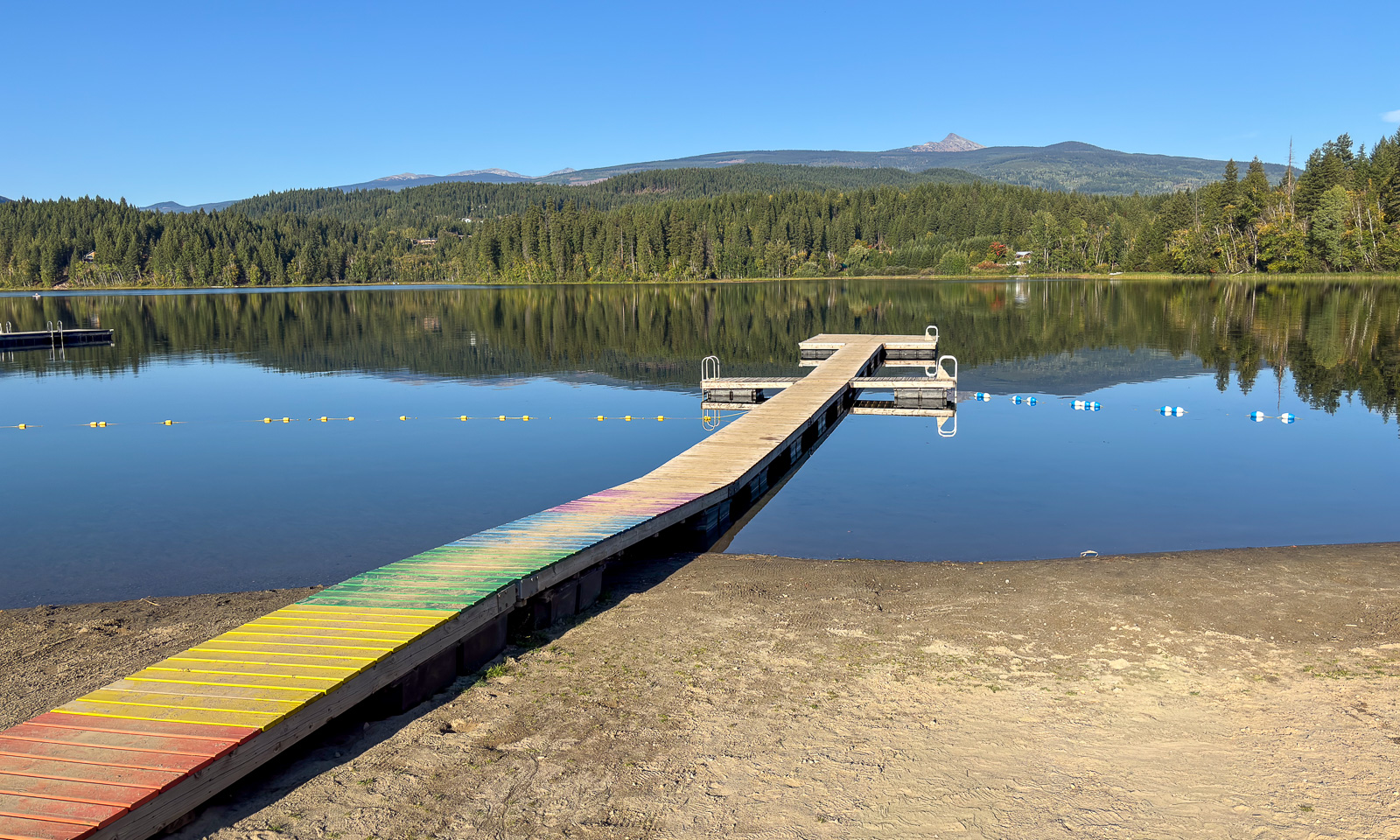
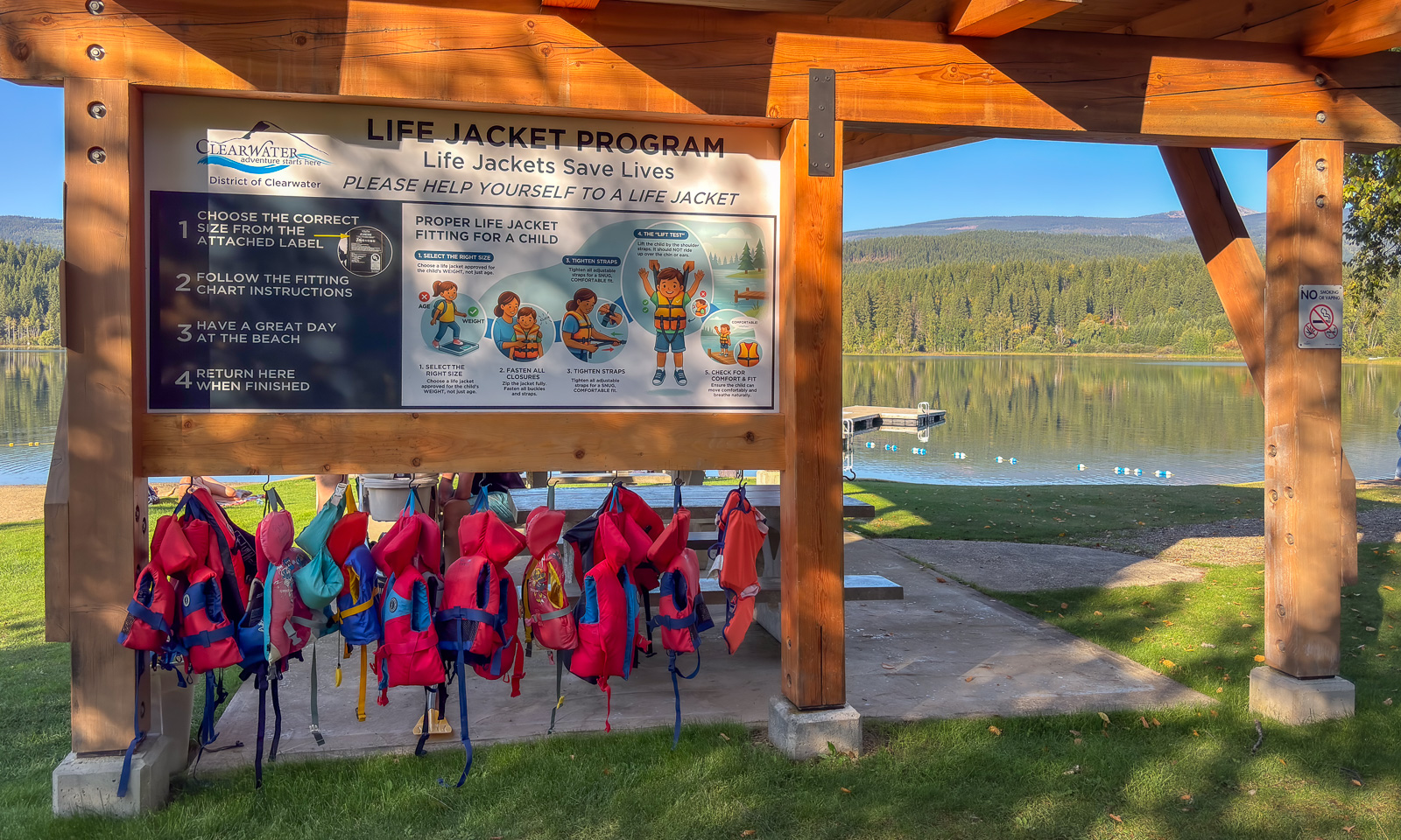
… and we are back on the highway. Or we could be, if the weather weren’t so nice and Clearwater didn’t have this bathing lake, Dutch lake. Time for a stop, time for a dip. We bathe and swim in the fresh, clear, but not really cold water. Many recreational sites are community-driven. Bampton is one of them and does not only have a wonderful swimming jetty but also provides life jackets for kids.
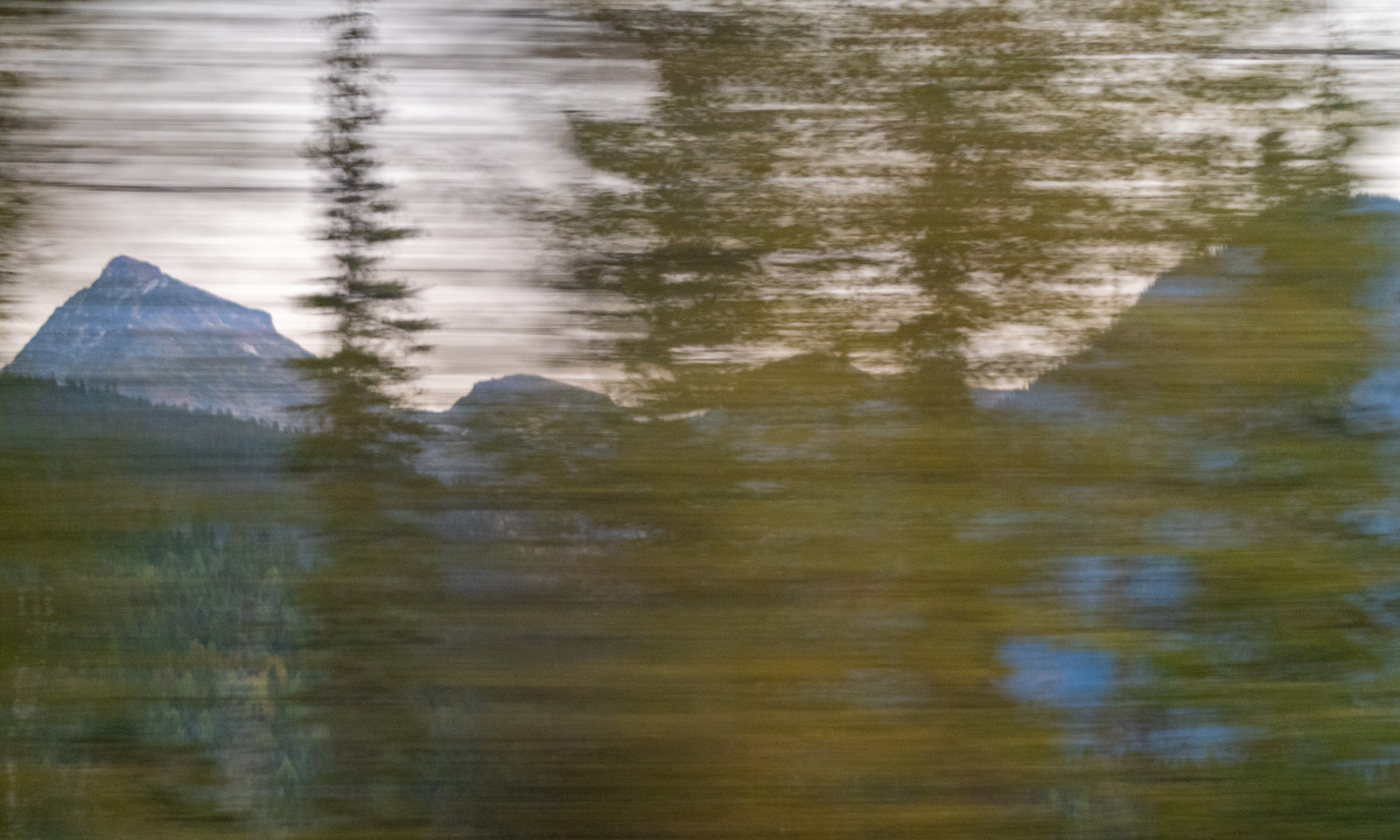
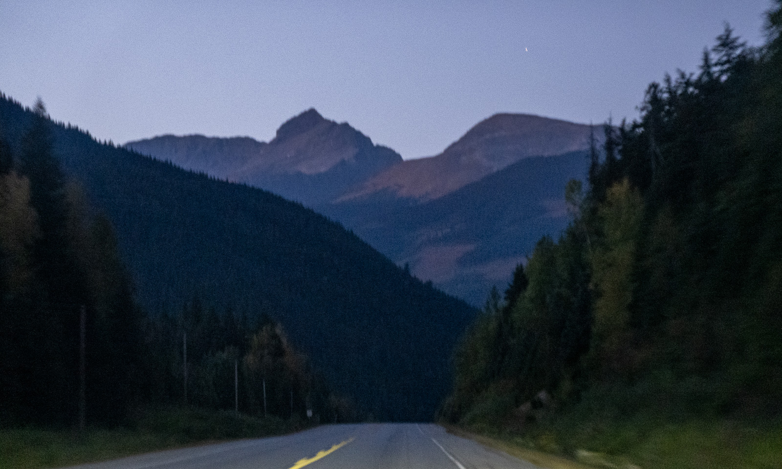
Now it is 6 o’clock in the afternoon and we still have 174 km to go. The sun is setting while we drive and the higher mountains that we are seeing for the first time on our trip lie in the shade.
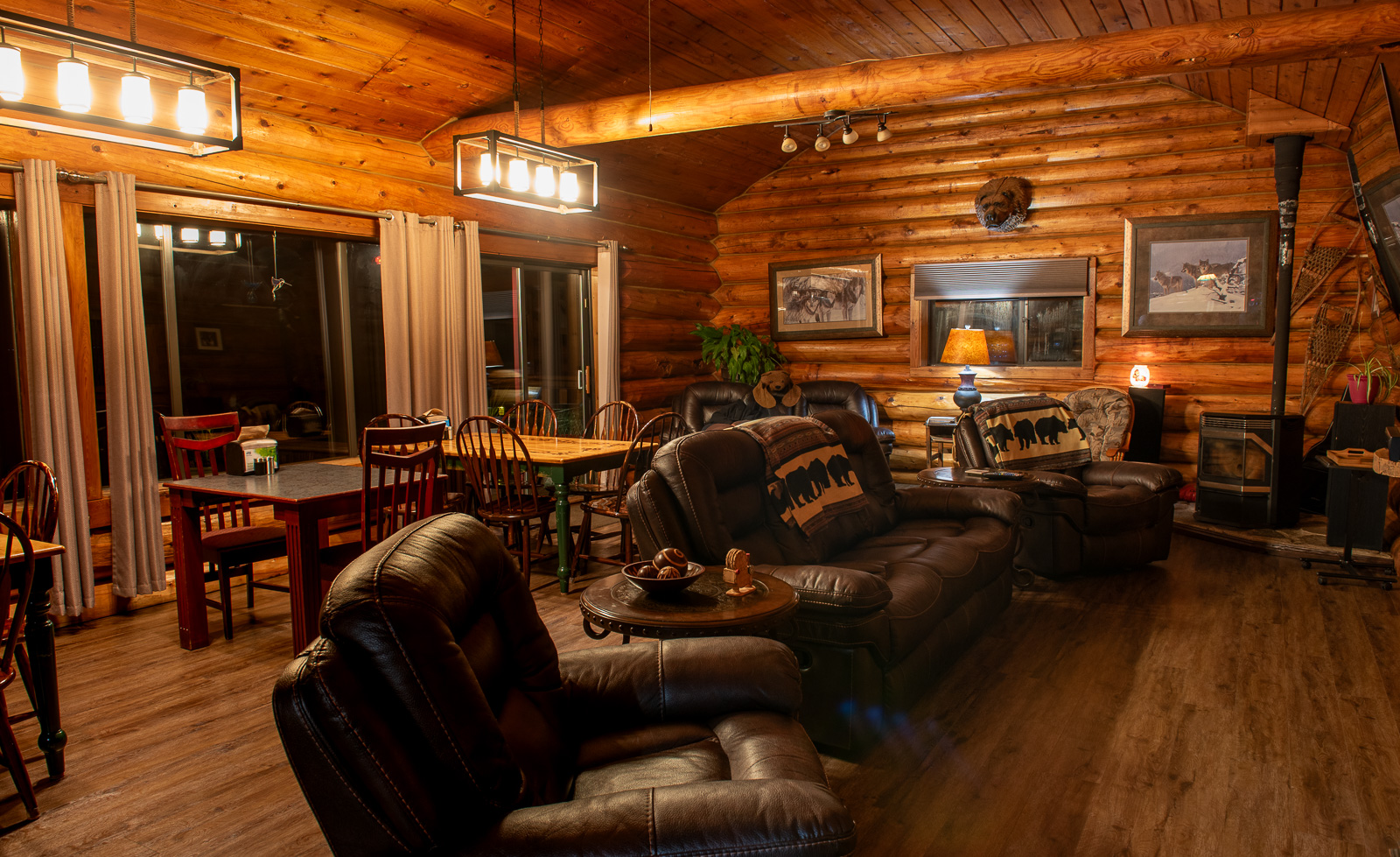
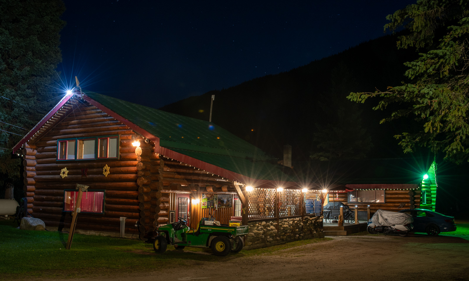
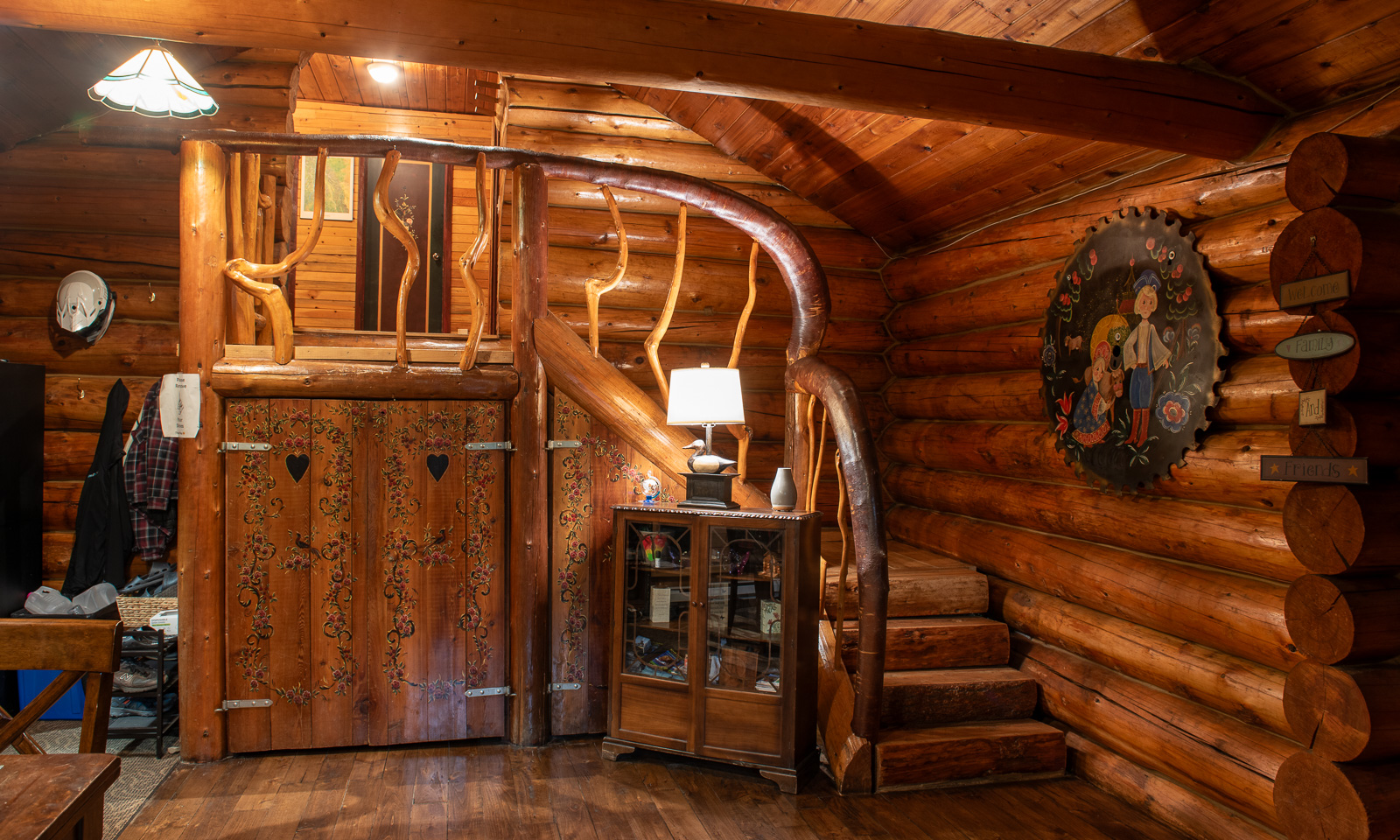
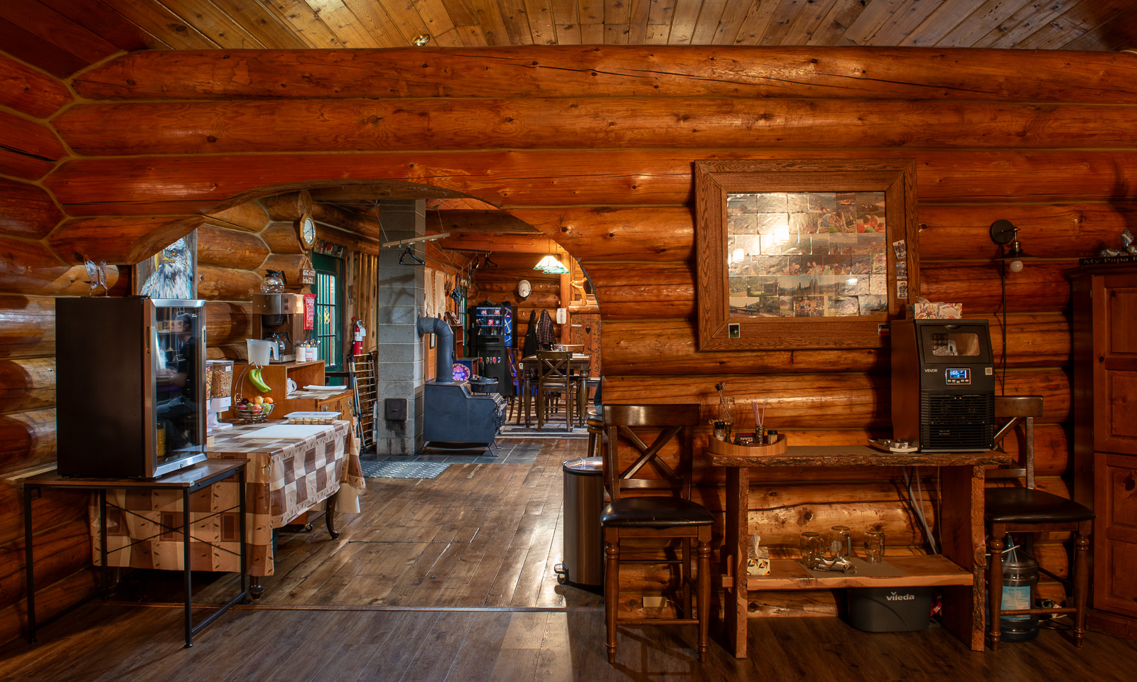
When we arrive at the Summit River Lodge, our accommodation for this night, it is already dark. A pity, since this lodge is so beautiful, both outside and inside! And the drinking water is great, it is taken from a well and doesn’t taste of chlorine as the ordinary Canadian tap water.
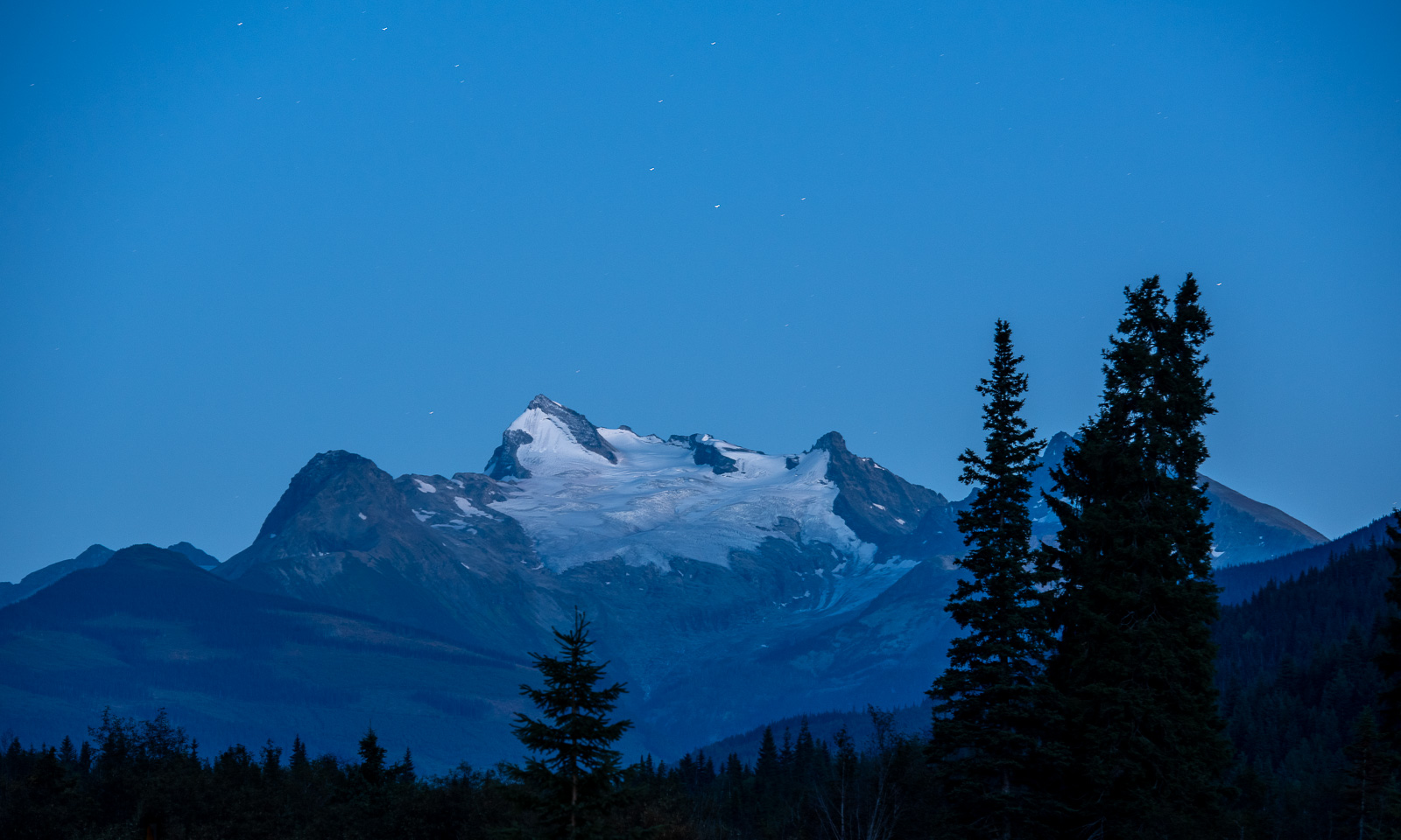
Before going to sleep, I go out and take a photo of the mountain as seen from the house. It has a glacier on it and its name is Mount Albreda (3029 m). That’s higher than any mountain in any country I have lived in: Germany, Sweden, Norway.
The next day we will see more mountains, because we head to Jasper which lies in the Canadian Rocky Mountains.
13–14 September – From the island into the desert

This article is part of the series “2026-09: Canada”.

13 September

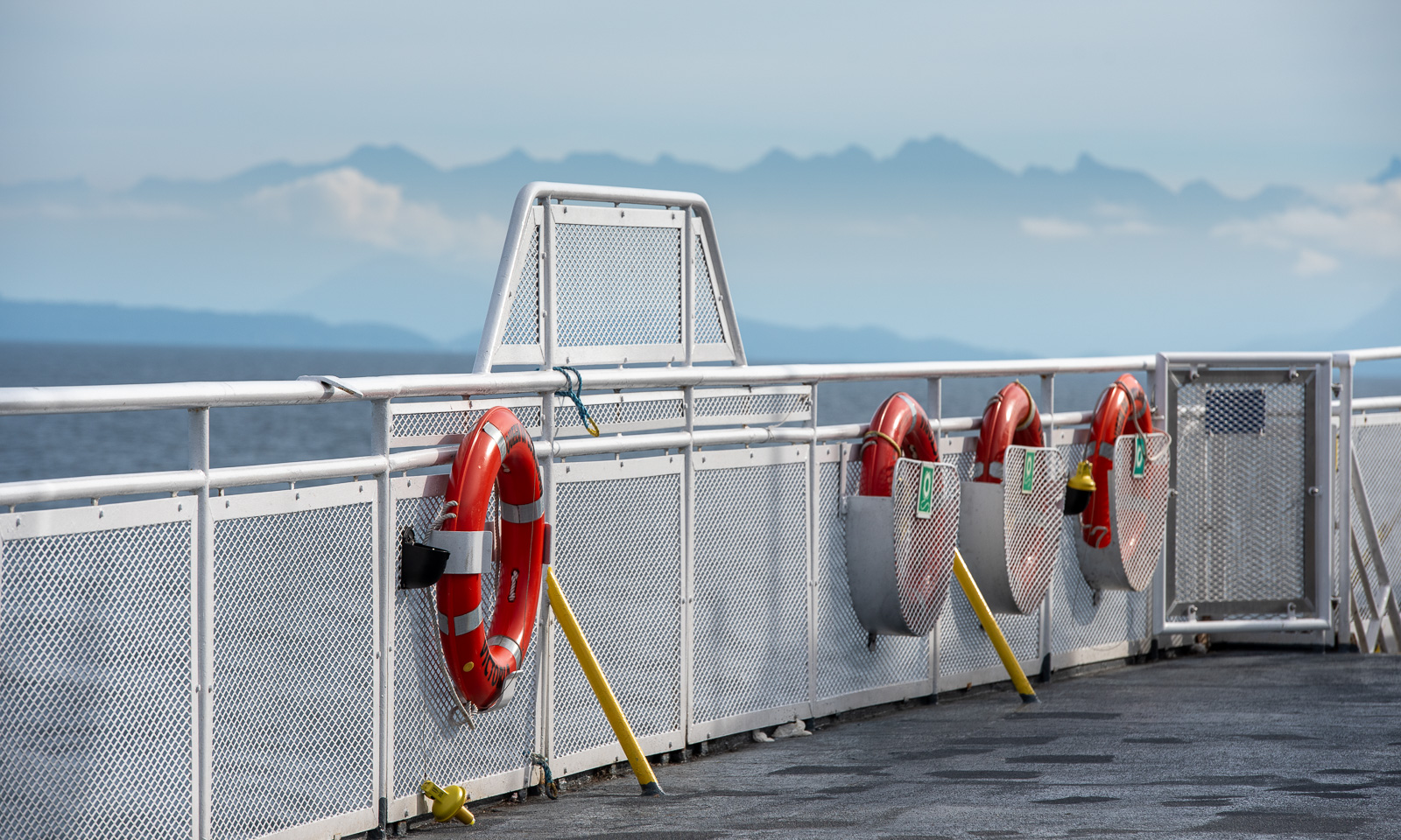
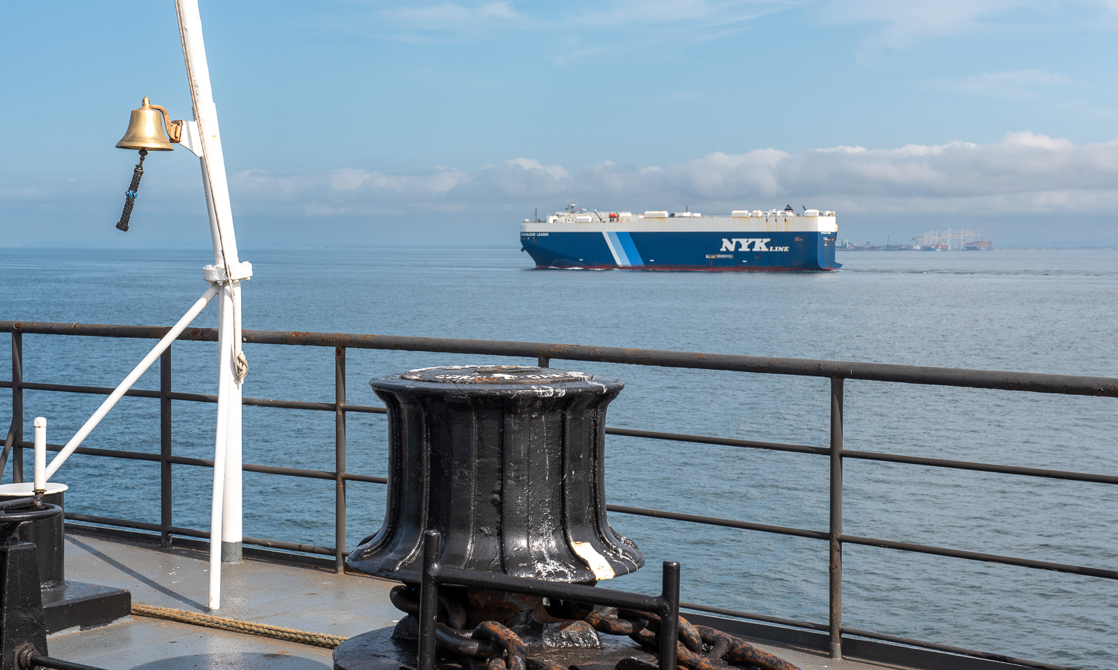
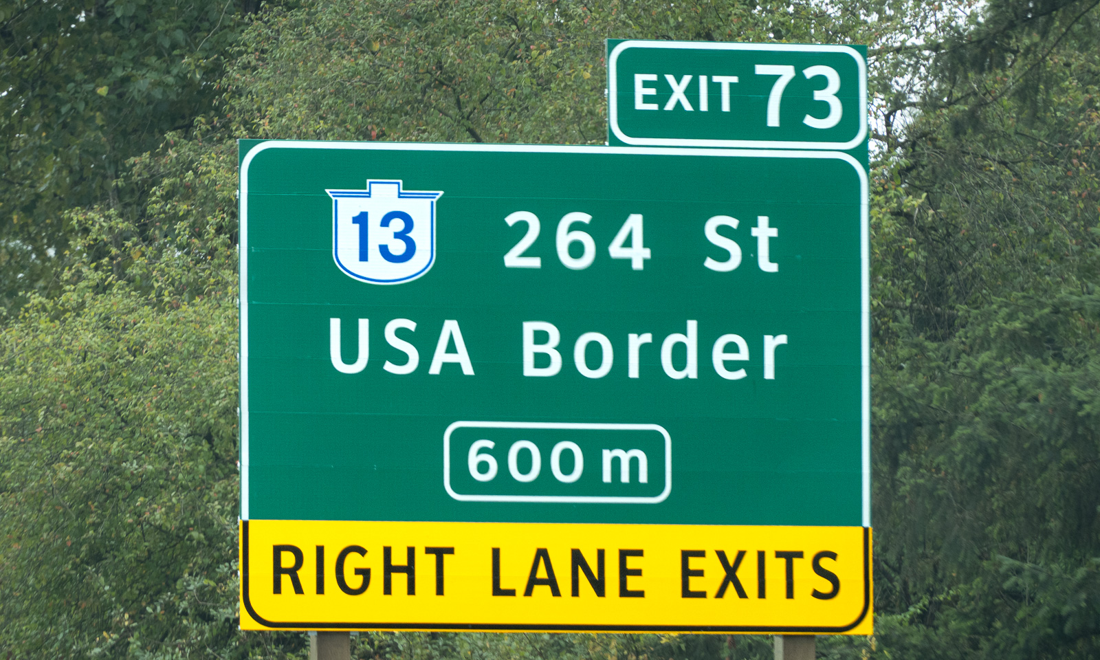
My wife Annika and I stand on board of the ferry Queen of Cowichan. After several days on Vancouver Island we are heading back to the Canadian mainland, this time to Tsawwassen, which is south of Vancouver. To get there we have to cross international borders twice, first into the USA and then back into Canada. These borders are invisible because they are on sea. Back on the mainland, we see signs to the USA border at several places as well.

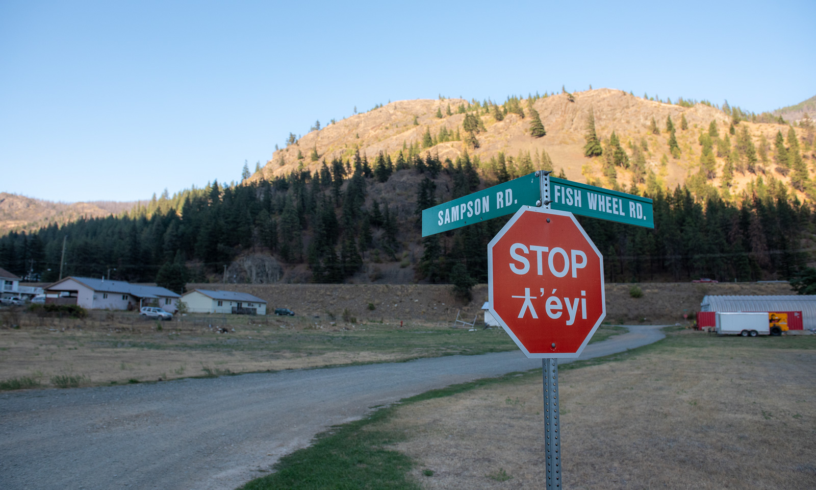
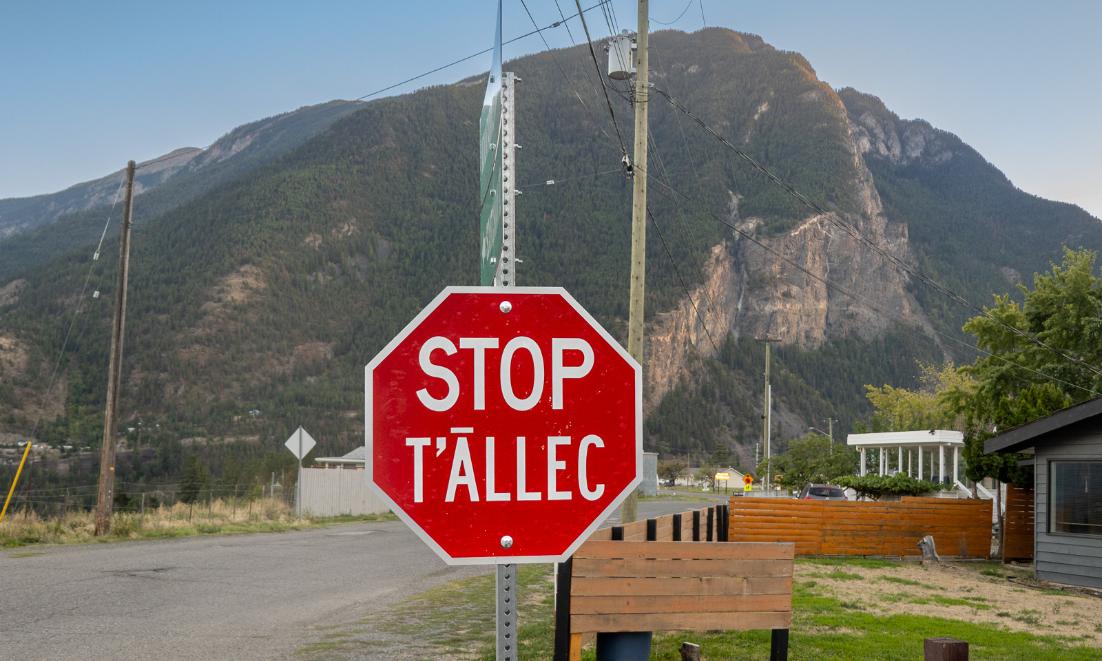
We make a stop in the village of tucckʷiowhum which is part of the Nlaka’pamux Nation. British Columbia is home to many distinct First Nations, each with its own culture, history, territory, and language. Often the languages are visible on the bilingual signs. The following stop signs show two different languages. According to the AI I used for research, “ƛ̓éyi” is Nłeʔkepmxcín which is spoken in the Fraser Canyon and Nicola regions. “T̄ÁLLEC” is St̓át̓imcets which is spoken in and around Lillooet, the town we are heading for today.

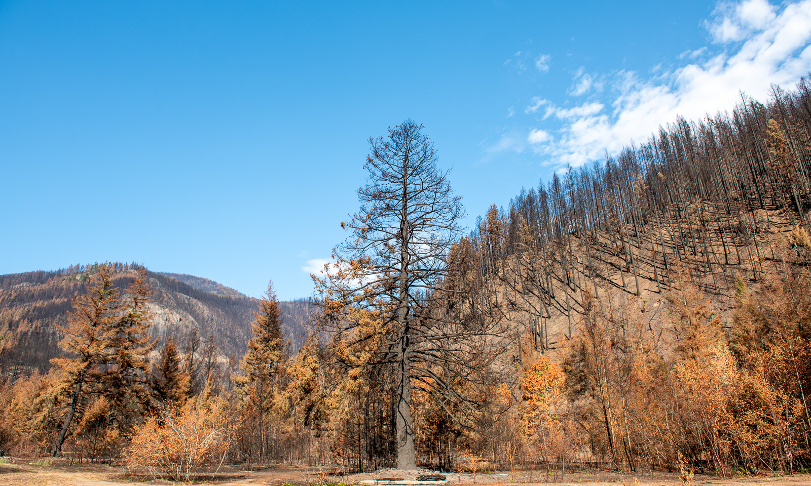
But we are not in Lillooet yet, we are in tucckʷiowhum. This is the first place where we can see the devastation caused by this year’s forest fires. Some hills are covered with black trunks. Even some of the buildings have burnt down. We know that forest fires are part of nature (or can be) but it makes me sad to see the black trees, some standing, some fallen.

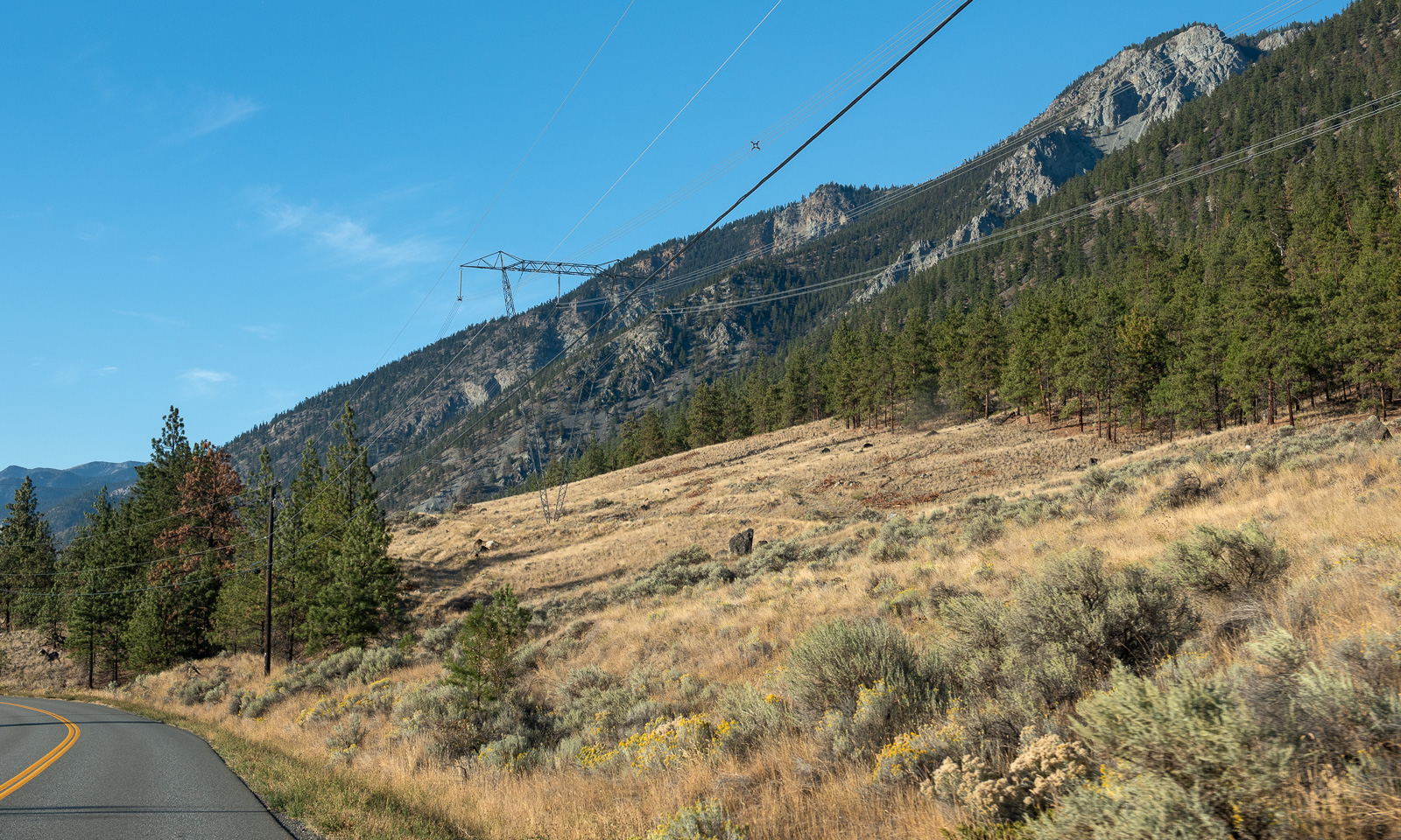
We continue our trip north. The landscape changes slowly. The forests are less dense, the soil looks drier and is often vegetated with brown grass.

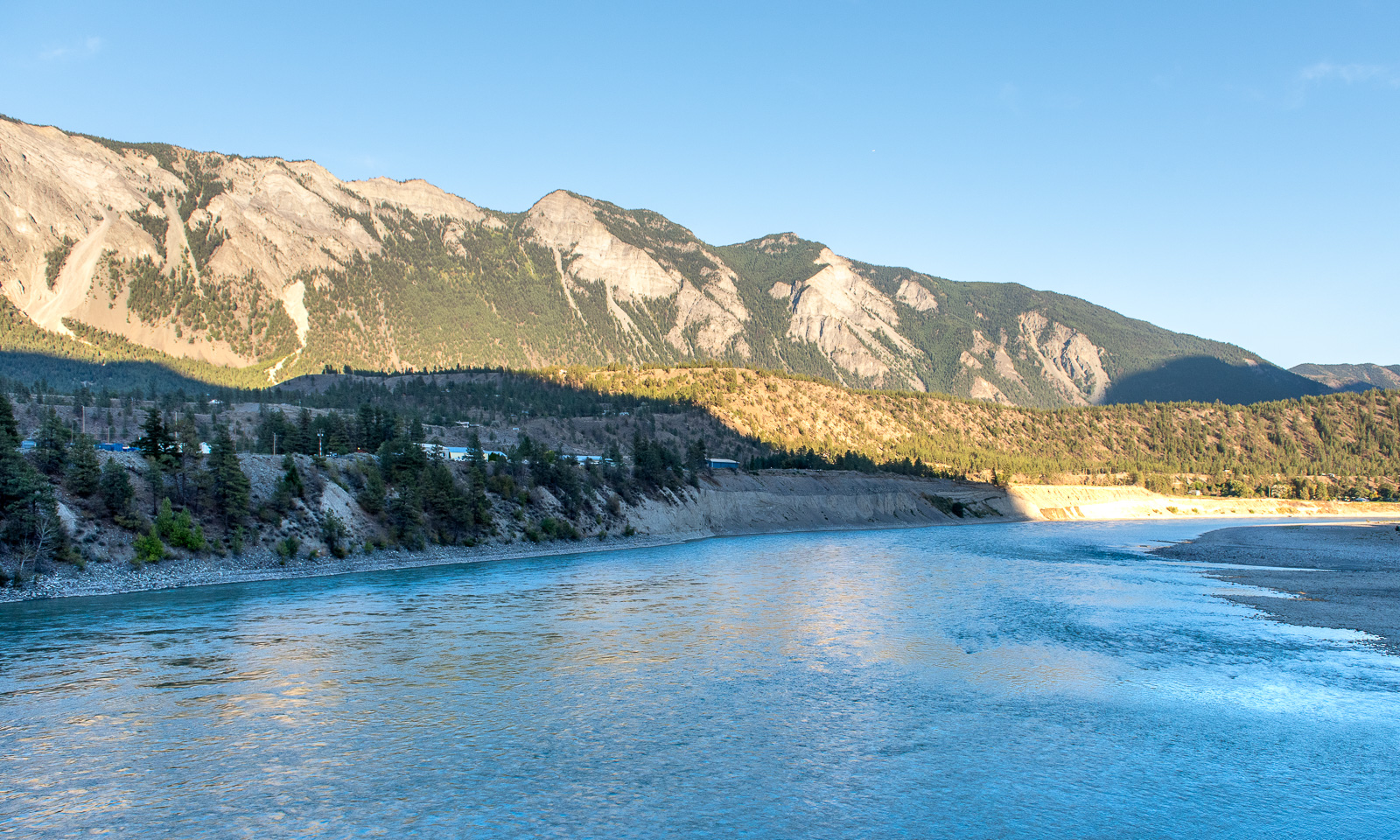
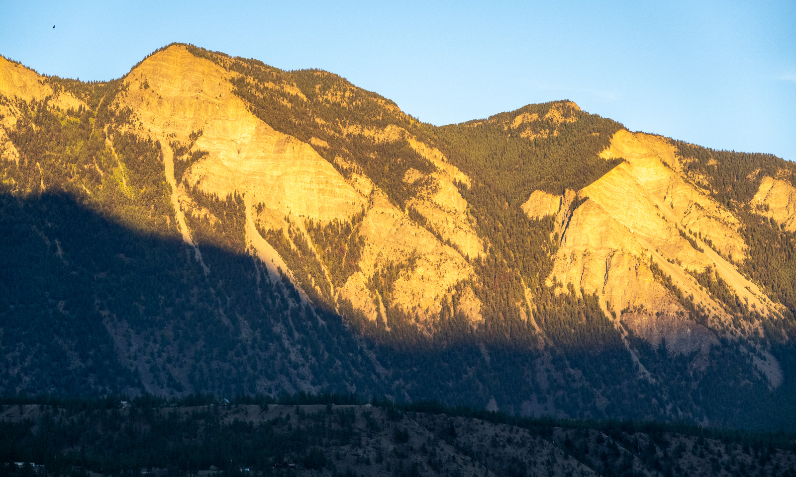
At half past seven we cross the Fraser river and arrive in Lillooet, a small town with a population of about 2300. The sun starts to set, but the mountains in the east still have sunlight.

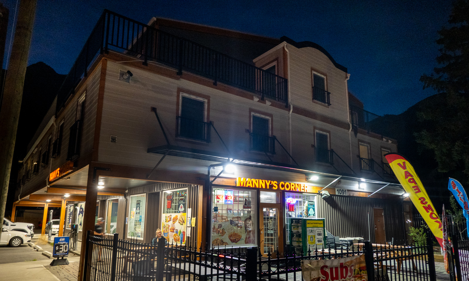
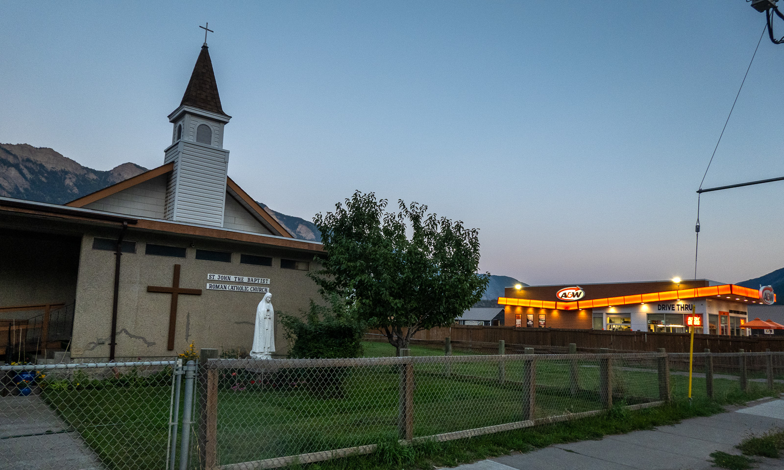
We check in at our first motel ever. We get a giant room with two double beds, a fridge, a coffee machine and a microwave. Since there is no proper kitchen available we walk into the centre where we eat salad and pizza at Manny’s Corner. The delicious Tandoori Chicken Pizza is massive and although I ordered only “medium size” I only manage to eat half of it. The leftovers will serve as tomorrow’s breakfast. On the other side of the street: The Roman Catholic church and a fast food chain.

In the streets: some pedestrians, especially younger ones and cars – mostly pickup trucks. The latter are very common in the area, the bigger the better. No wonder that our rented VW Tiguan, not a small car either, was rated as an “undersized vehicle” by the ferry company :-D .

14 September

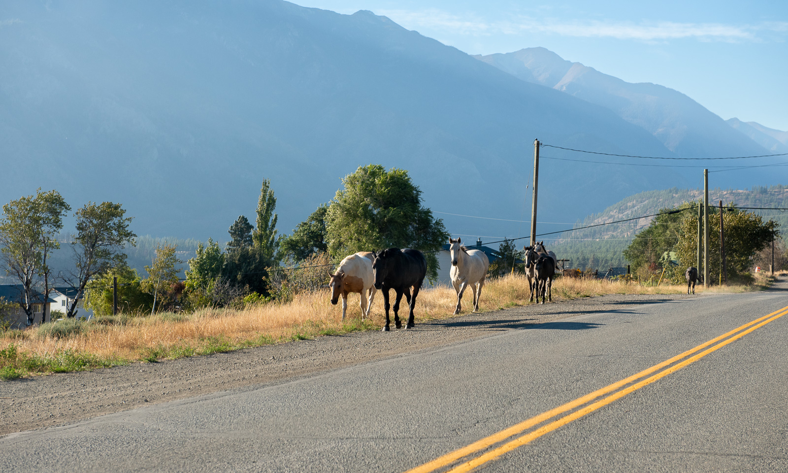
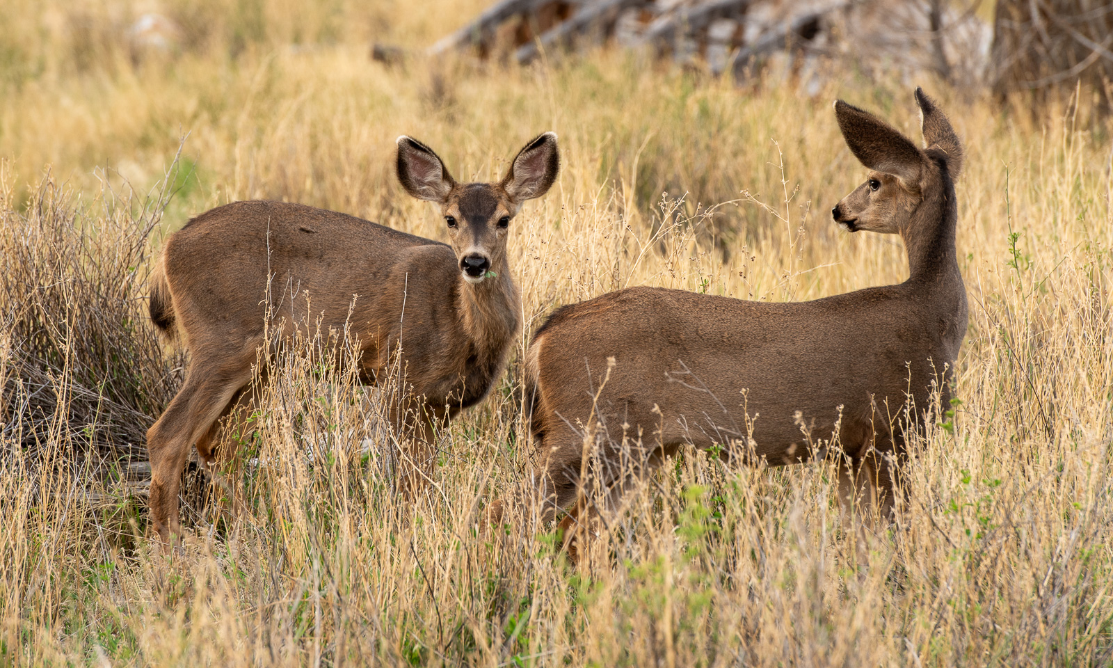
Yesterday it had cleared up and when I wake up, the sky is blue. I go outside, just to the road where I see a flock of mule deer grazing on the dry meadows.

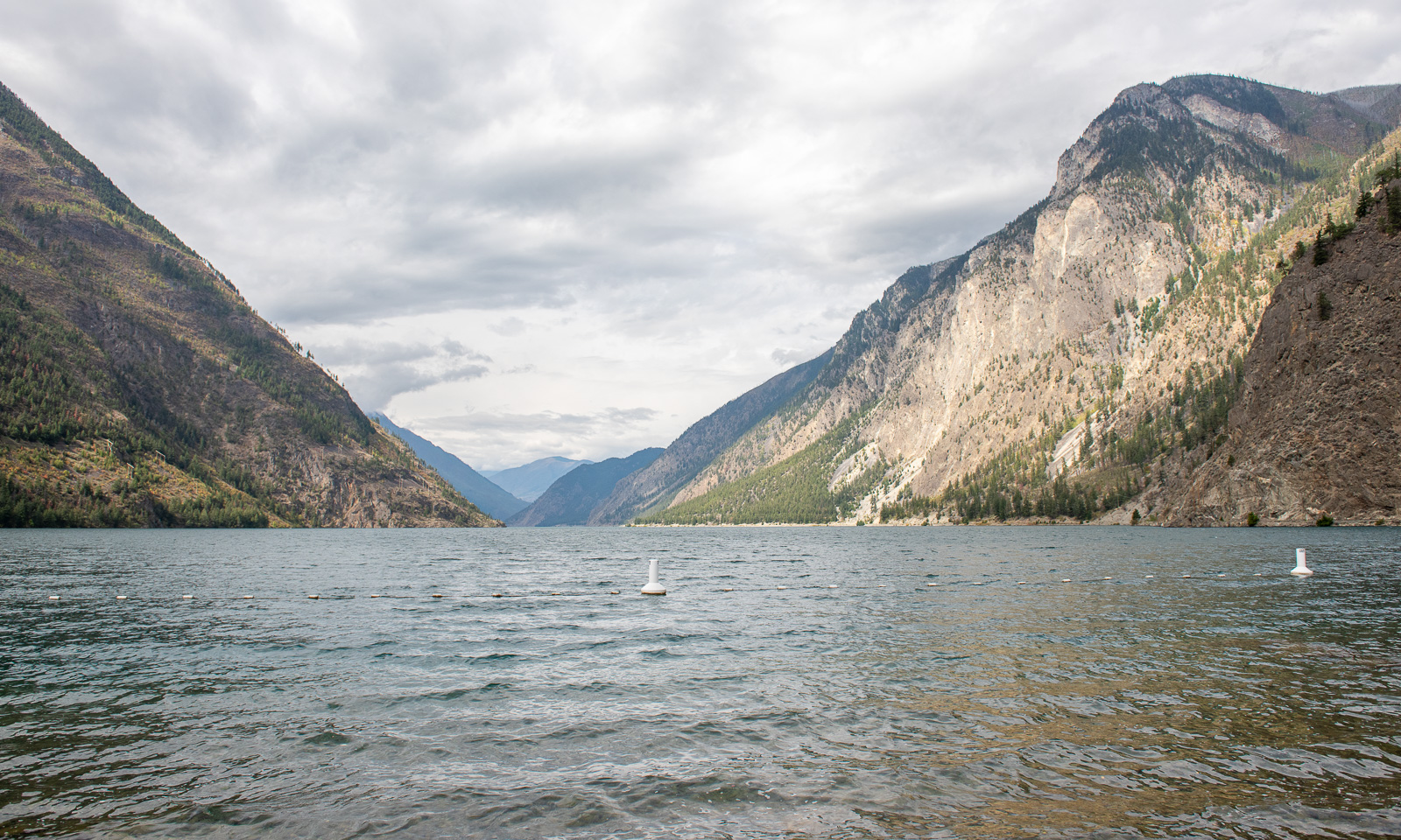
Our first action this morning is to visit Seton Lake. Sam, the manager of the motel said, it was a good place to take a swim and it is. There are some other people around but it is only us actually swimming in the lake.

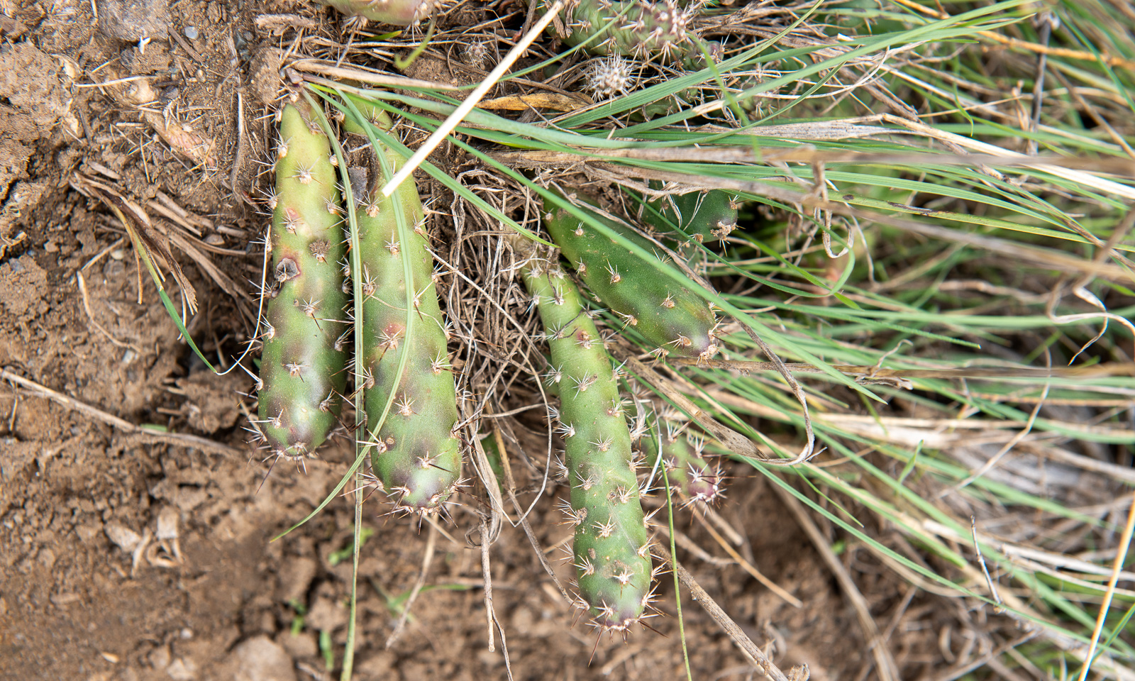
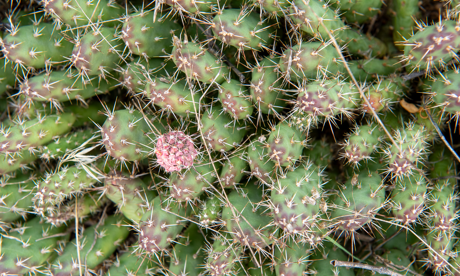
Back in town we are looking around. I already knew that the landscape around Lillooet is desert-like, but I never expected cacti to grow here. This species seems to be the Brittle pricklypear.

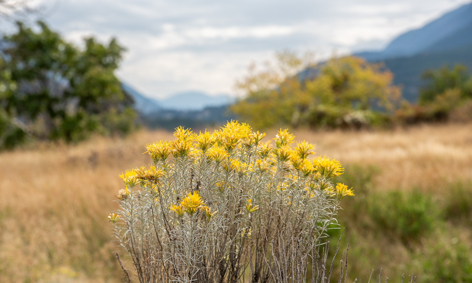
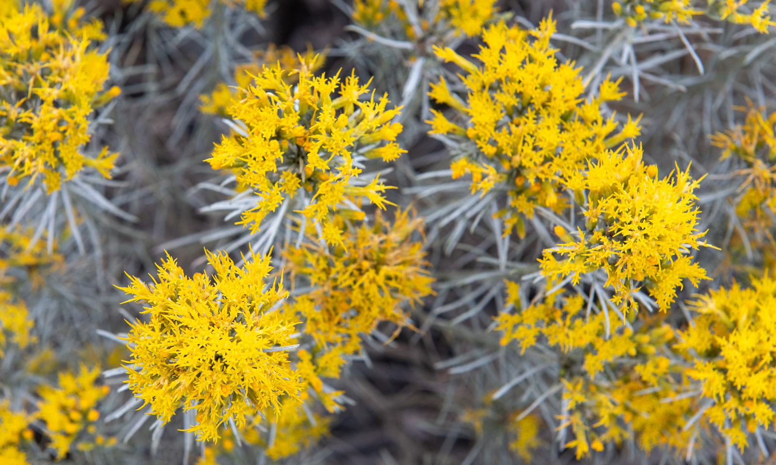
You meet the Brittle pricklypear in person when you are stupid enough to wear sandals. But it is the yellow-blooming Rubber rabbitbrush that shapes this landscape. You can see them everywhere.

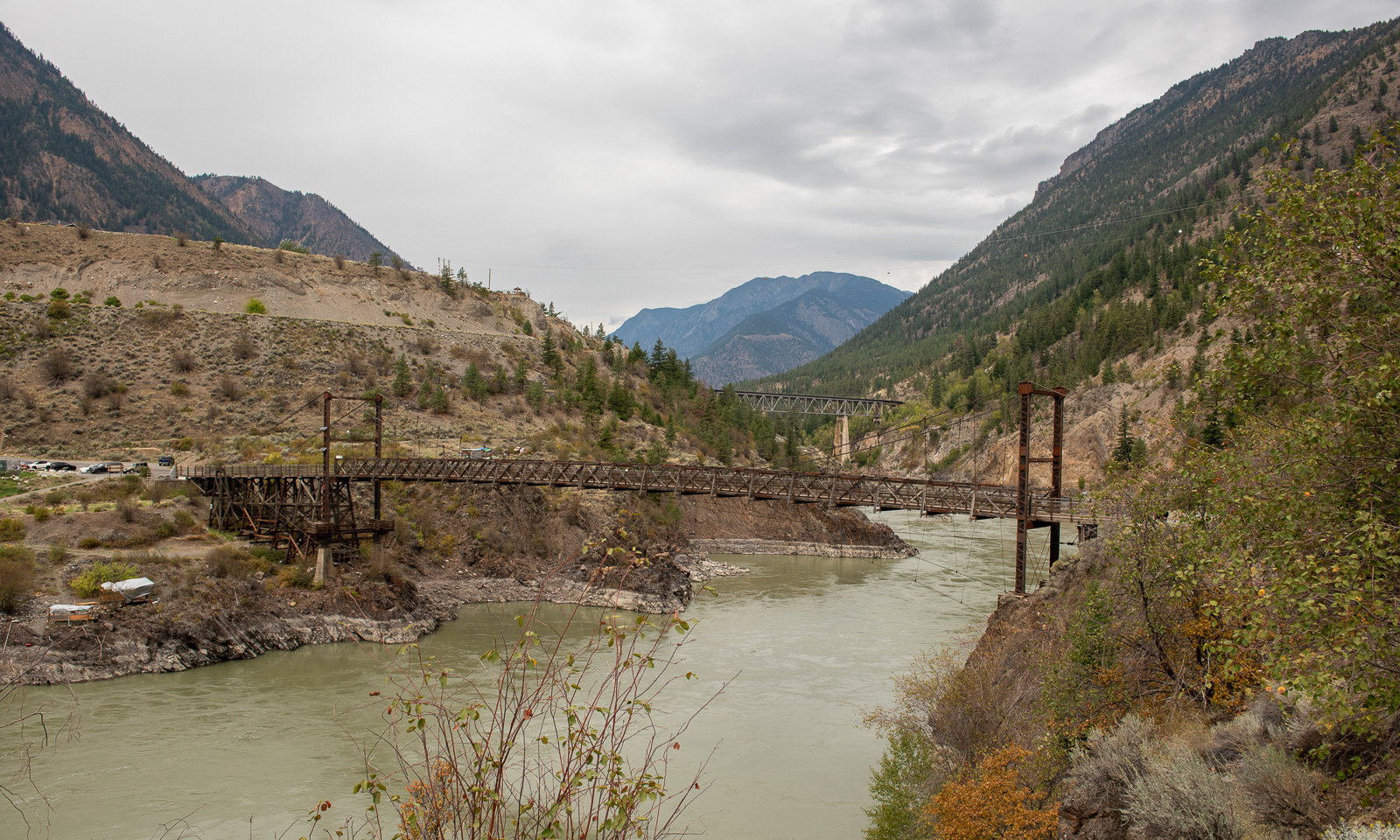
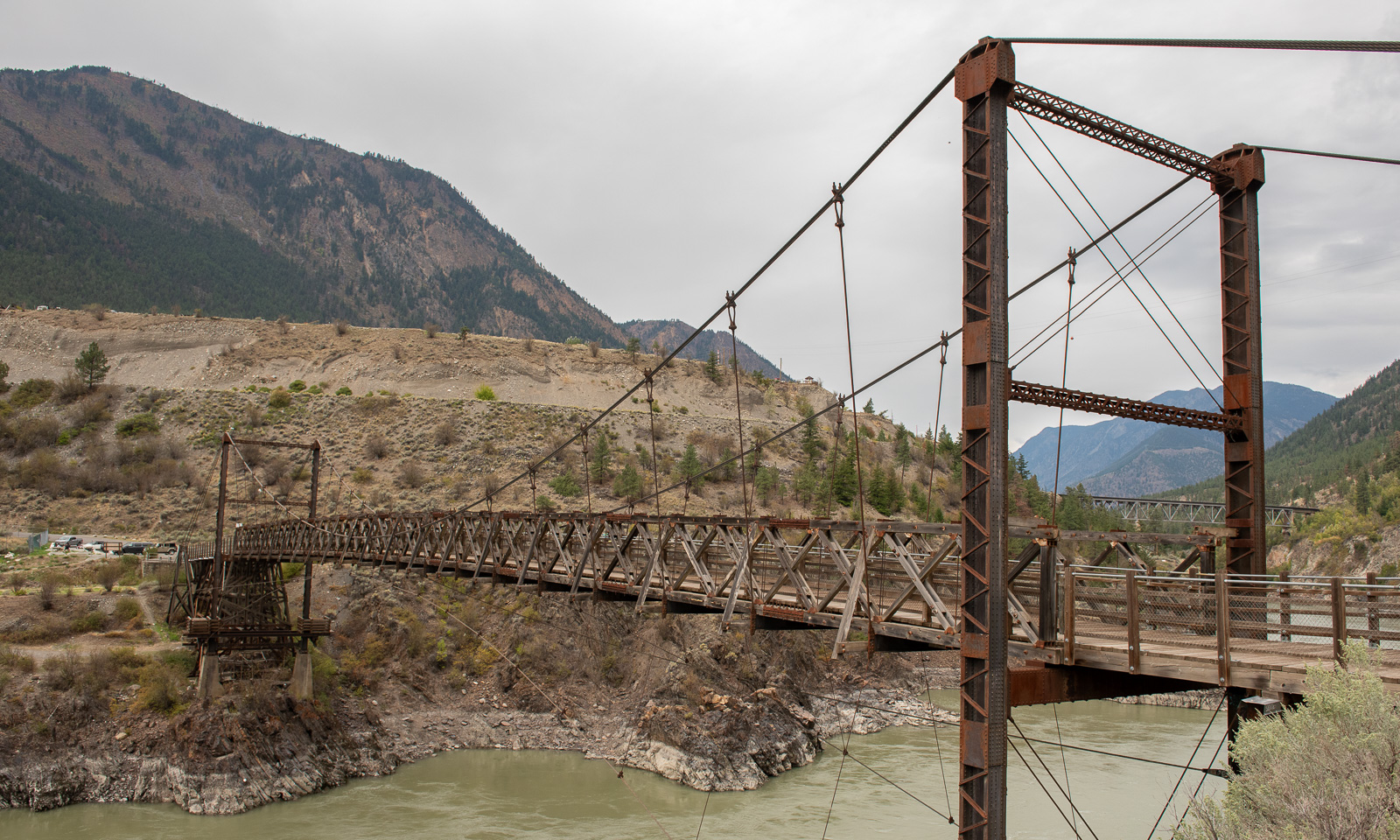
Nearby lies the Lillooet Suspension Bridge, built in 1913 and in active use to cross the Fraser river until the modern “Bridge of the Twenty-Three Camels” was built in 1981.

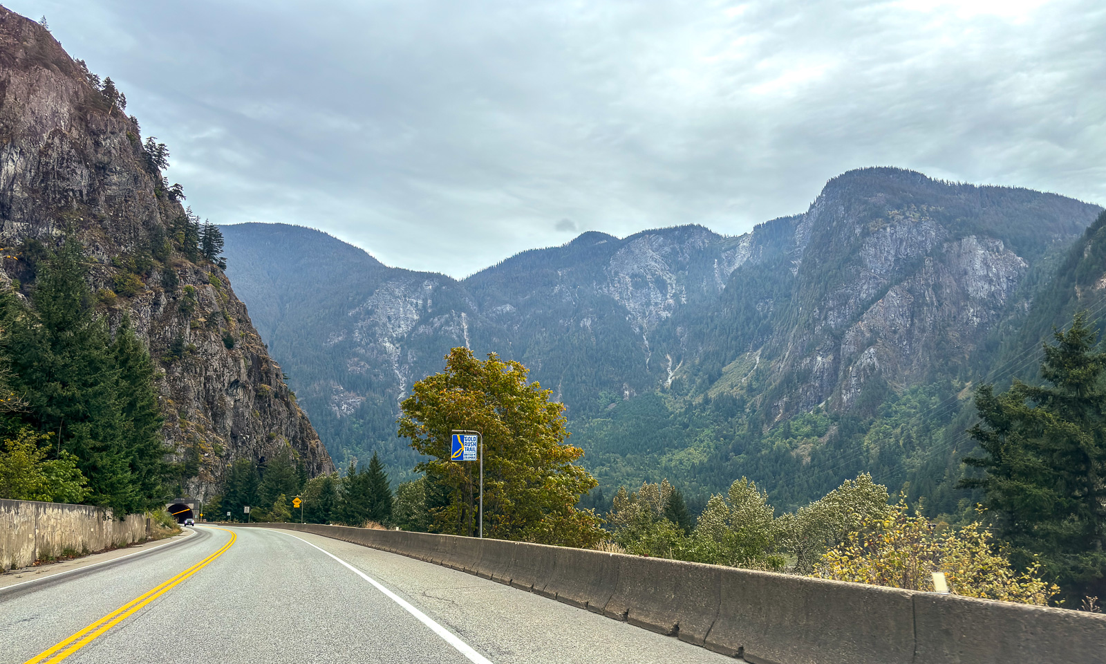
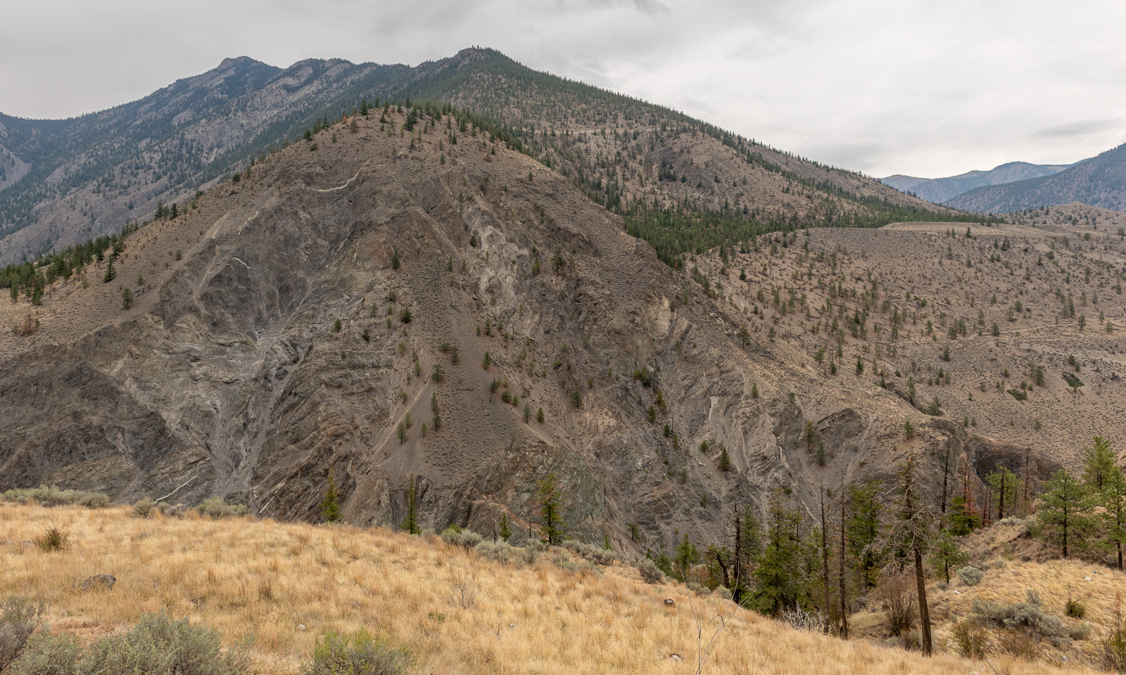
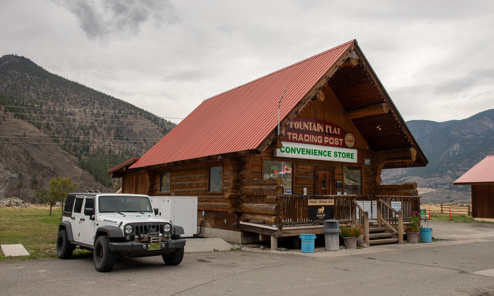
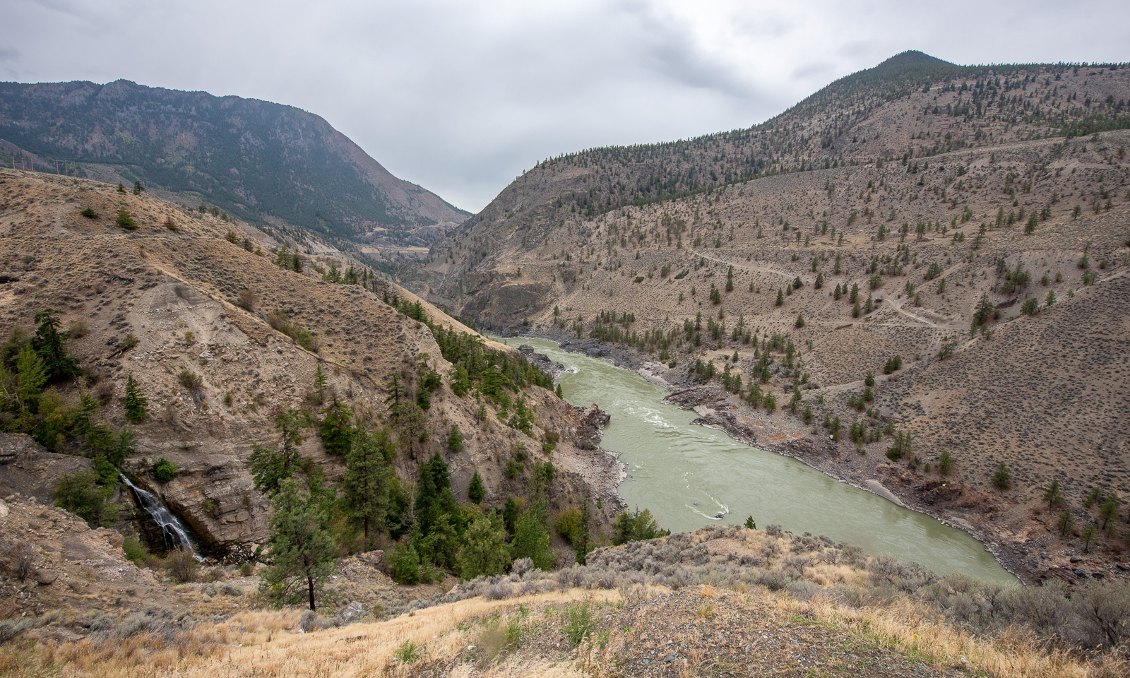
Our way leads north along the Fraser River canyon. We stop several times, mostly to enjoy the views and once at the Fountain Flats Trading Post, a convenience store where we buy snacks and something to drink.

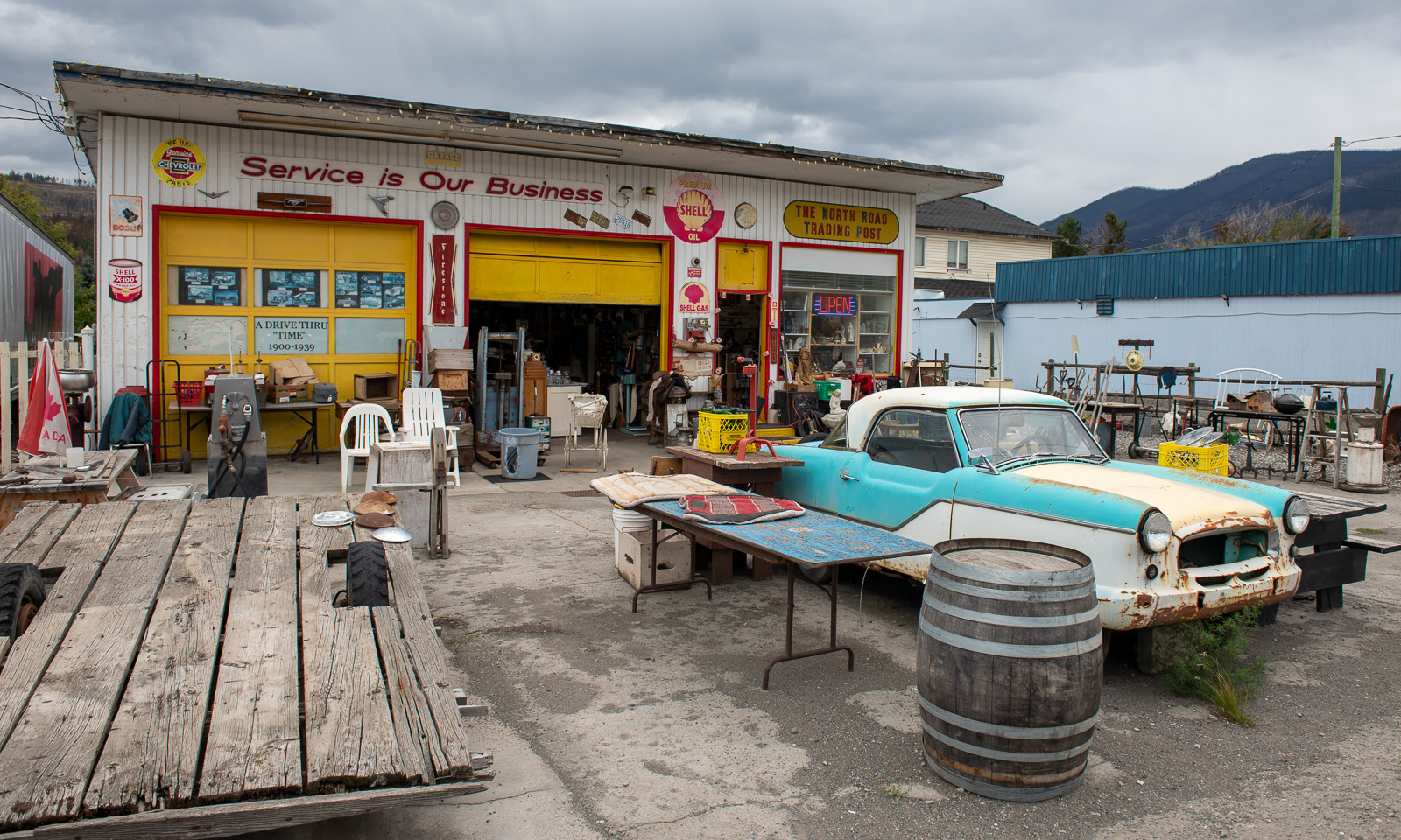
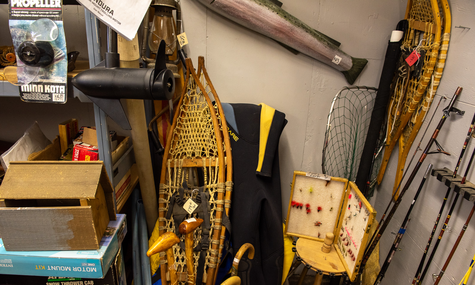
Another stop we make is at the second-hand shop in Clinton where Annika buys a Thermos flask with an interesting feature: it does not insulate for a minute. In a corner of one of the rooms: Two pairs of large snowshoes.

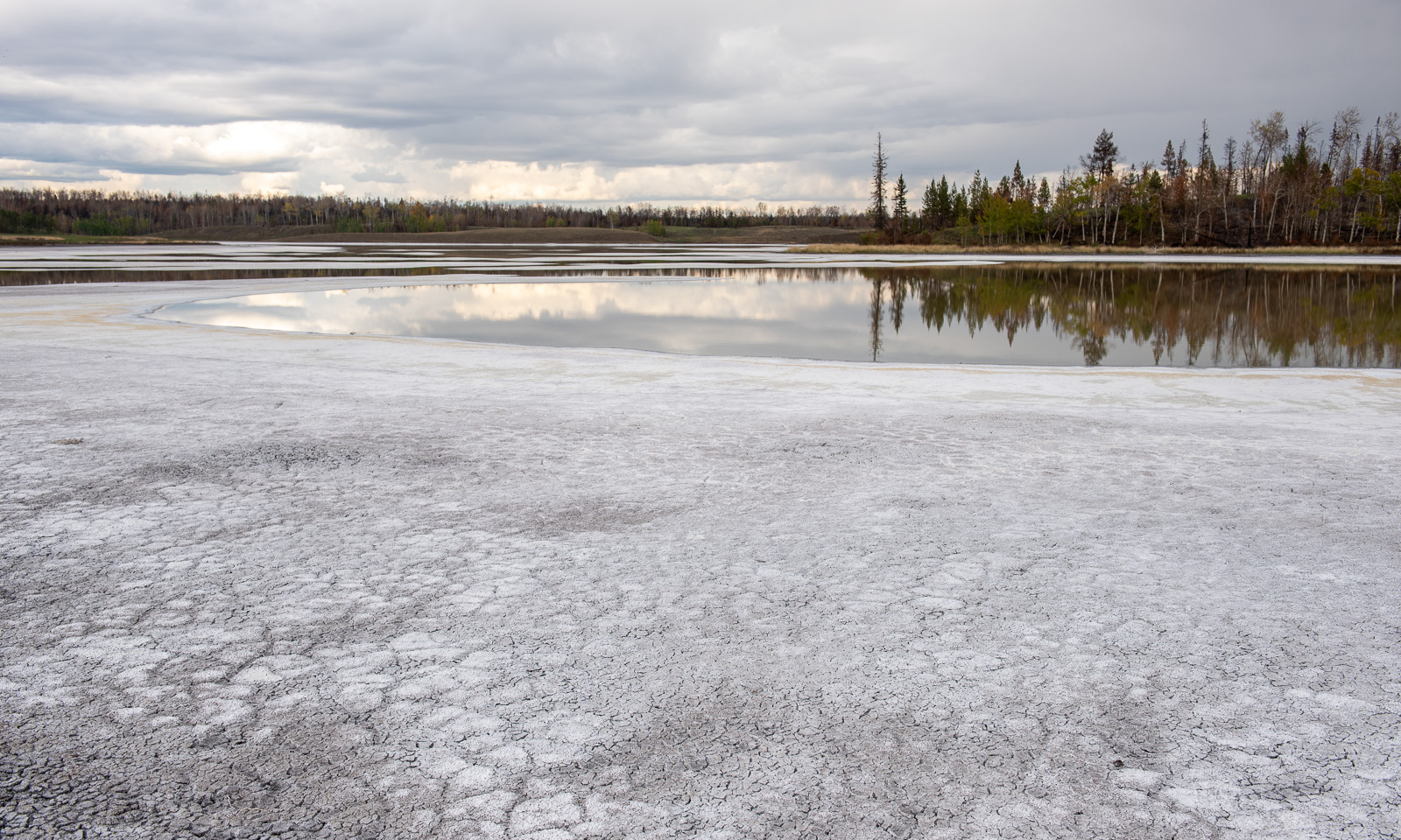
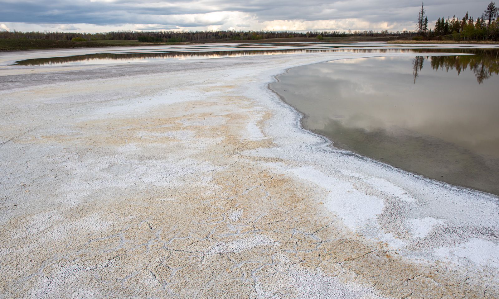
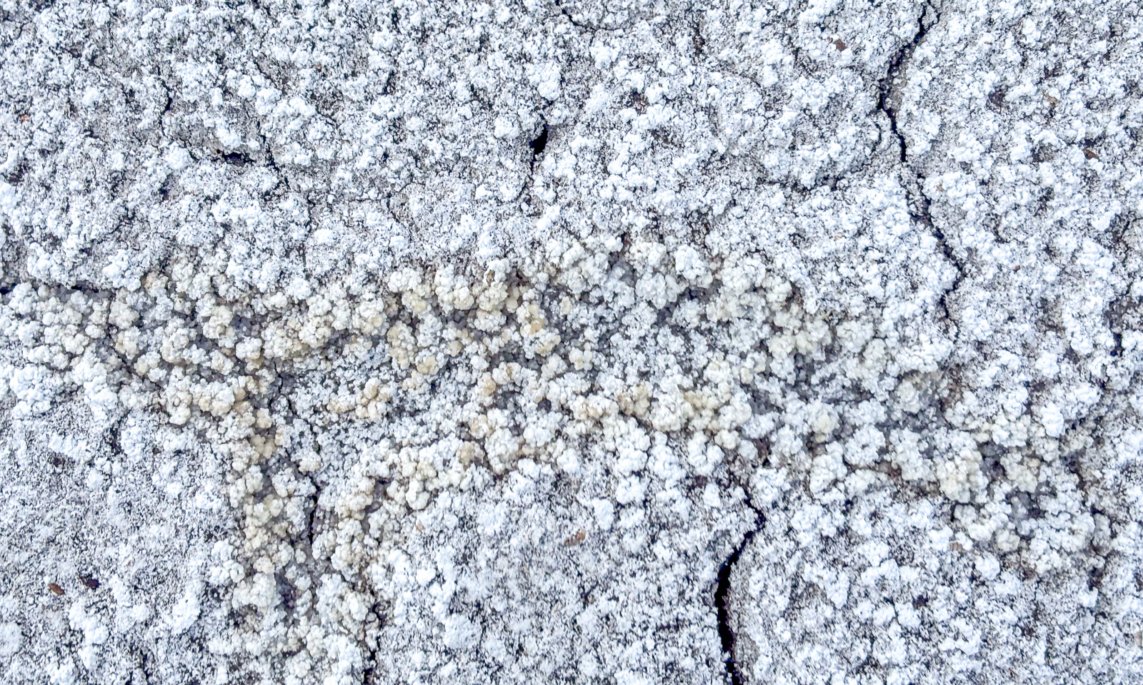
Near Chasm we leave Highway 97 and drive north on unpaved roads. Beside the road are several alkaline lakes, most of them dried out. On the surface there is a thin layer of soda crust, underneath it is black mud. I never saw anything like this before. My rubber boots get muddy and it takes ages to wash the soft-soap-like mud away.

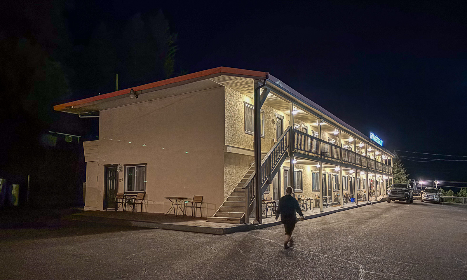
At half past eight we arrive at our motel, the Stampeder Inn in Williams Lake where we’ll stay for two nights.

Again I remember my wondering before our journey: Will Canada be different from Scandinavia apart from its size. And again I get the answer: Some parts are very, very different!

9–11 September – Vancouver Island

This article is part of the series “2026-09: Canada”.

Oh my, it is already 20 September. My wife Annika and I are still travelling around in western Canada, have seen many things and today I finally find the time to write another blog article, this time about Vancouver Island, that we visited from 9 to 13 September. It feels like ages ago.

9 September

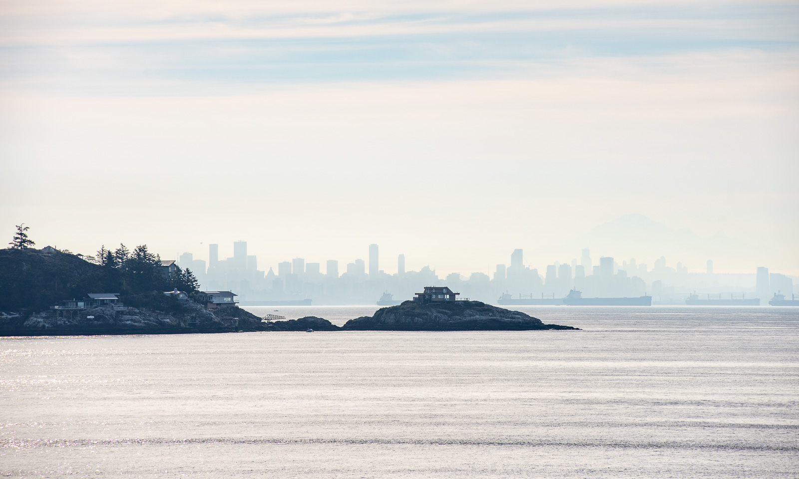
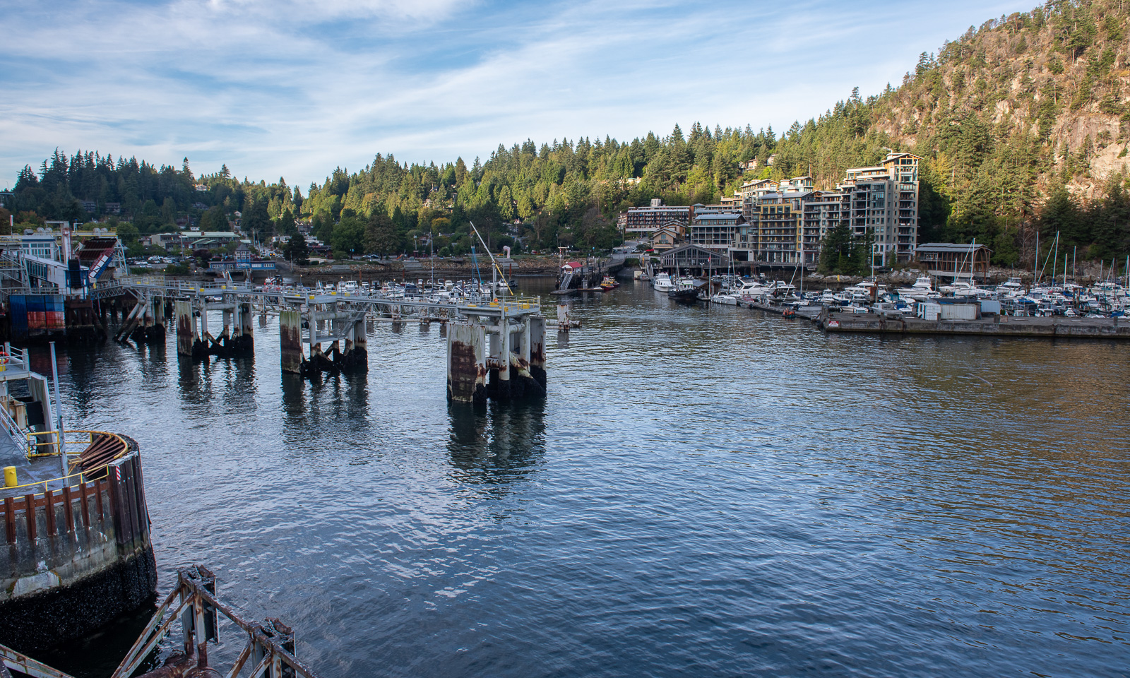
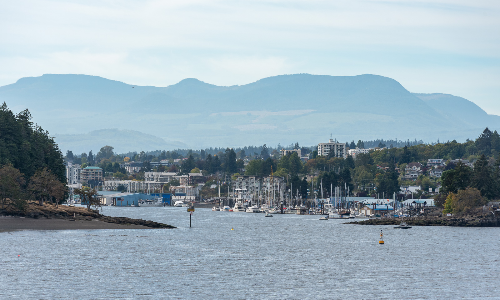
The alarm clock rings at 5:45. We want to catch the early ferry from Horseshoe Bay on the mainland to Nanaimo on Vancouver Island. The ferry crossing takes about two hours.

With 2200 km², Hinnøya is the largest Norwegian island near the mainland. Vancouver Island is more than 14 times as large and is ranked 11 on the list of Canadian islands. Sometimes Canada may resemble Scandinavia but everything seems to be much bigger.

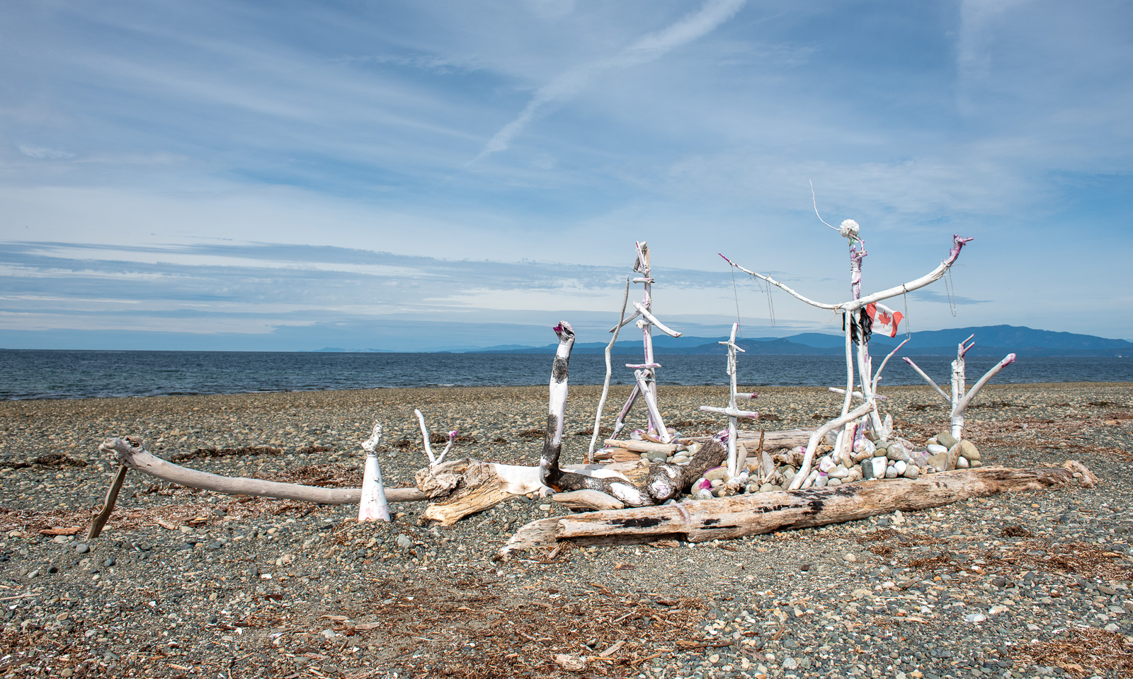
We take the road north and make a stop at the public beach in Parksville on the east side of the island.

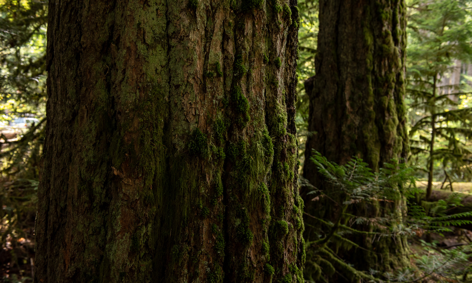
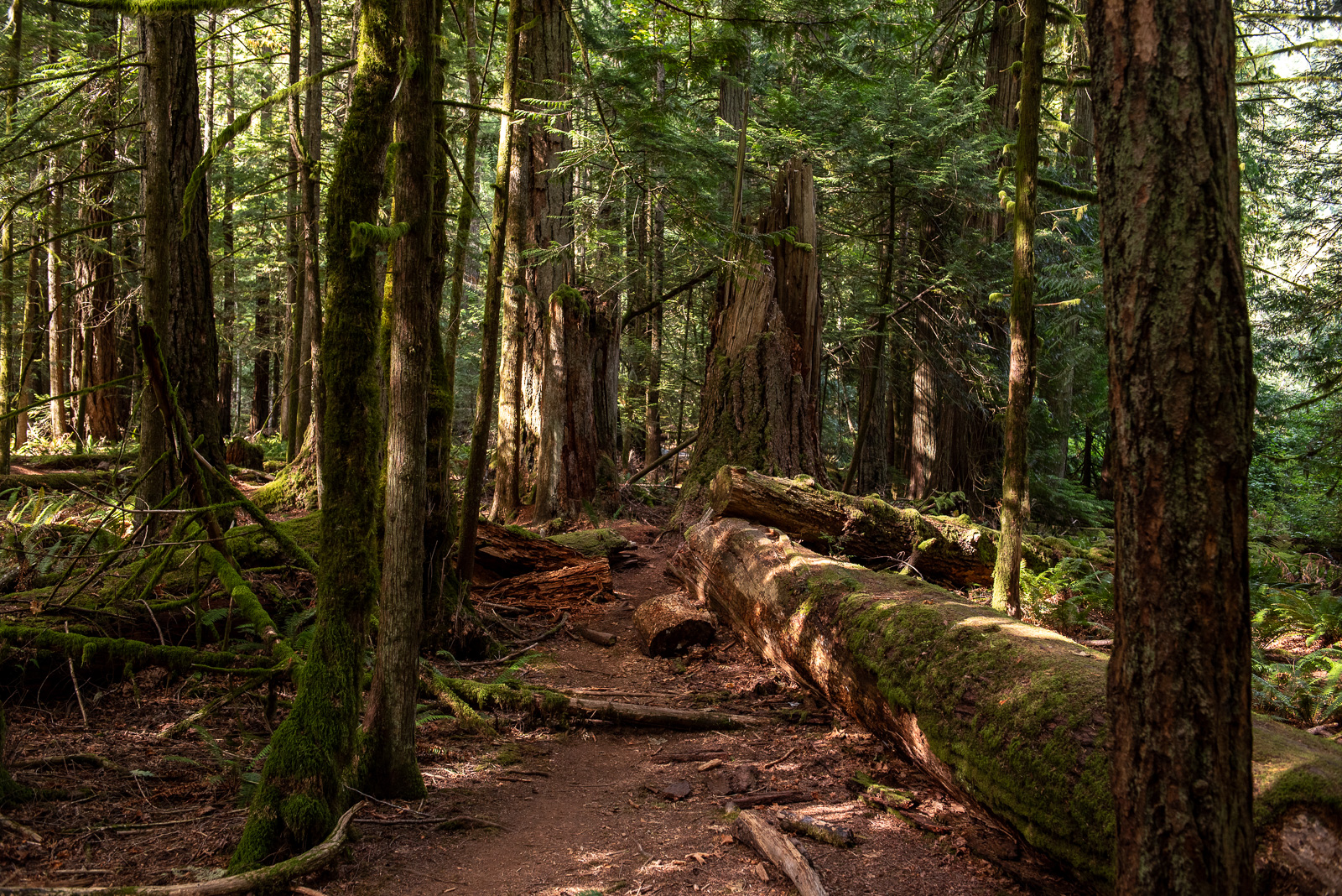
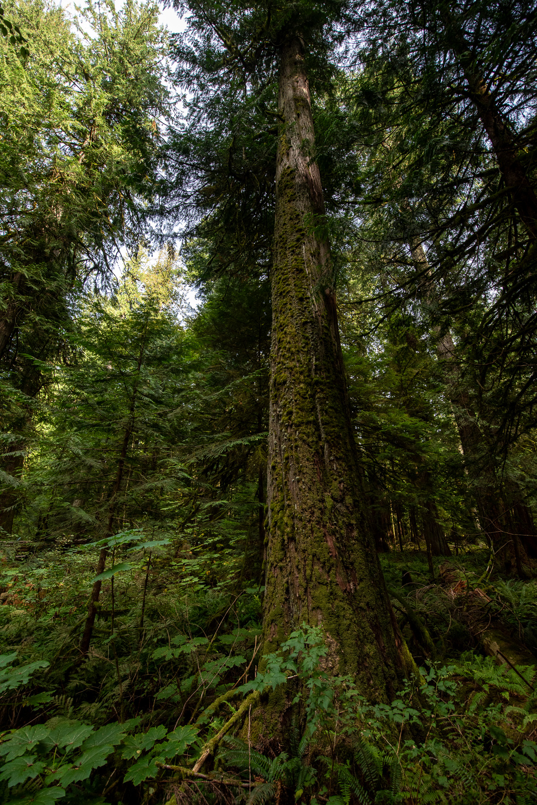
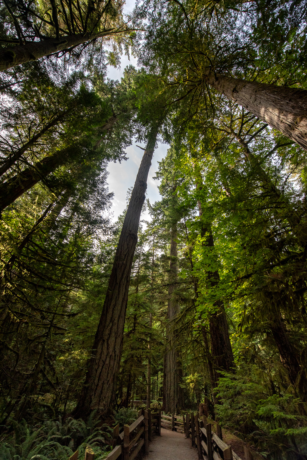
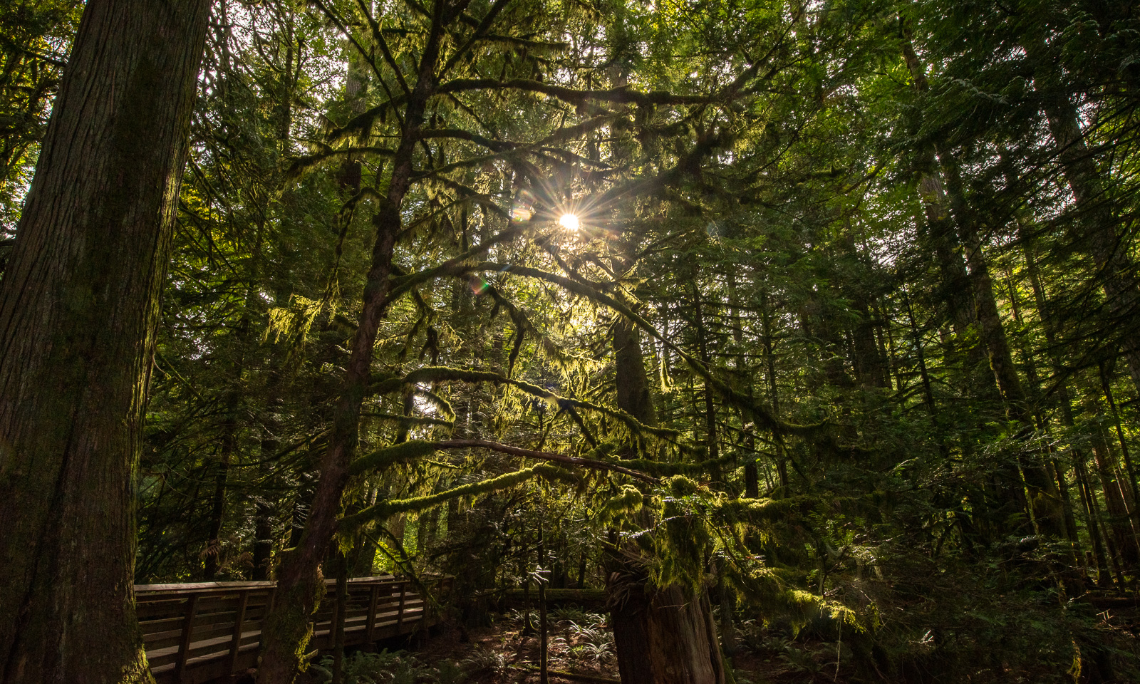
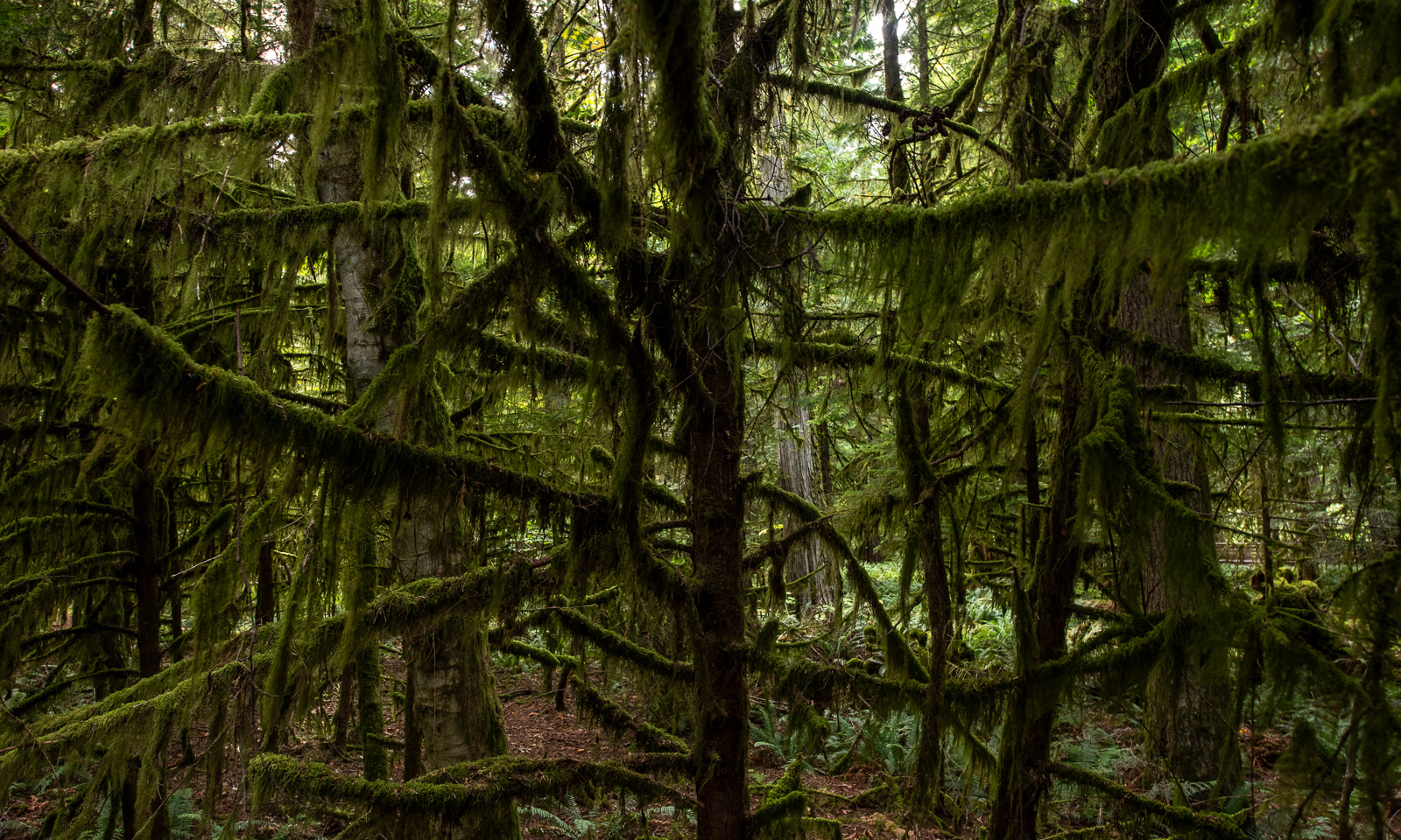
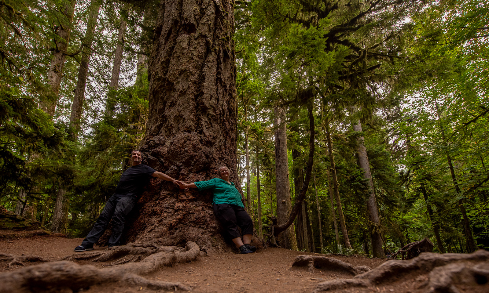
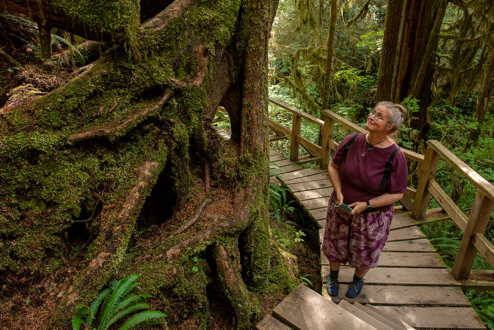
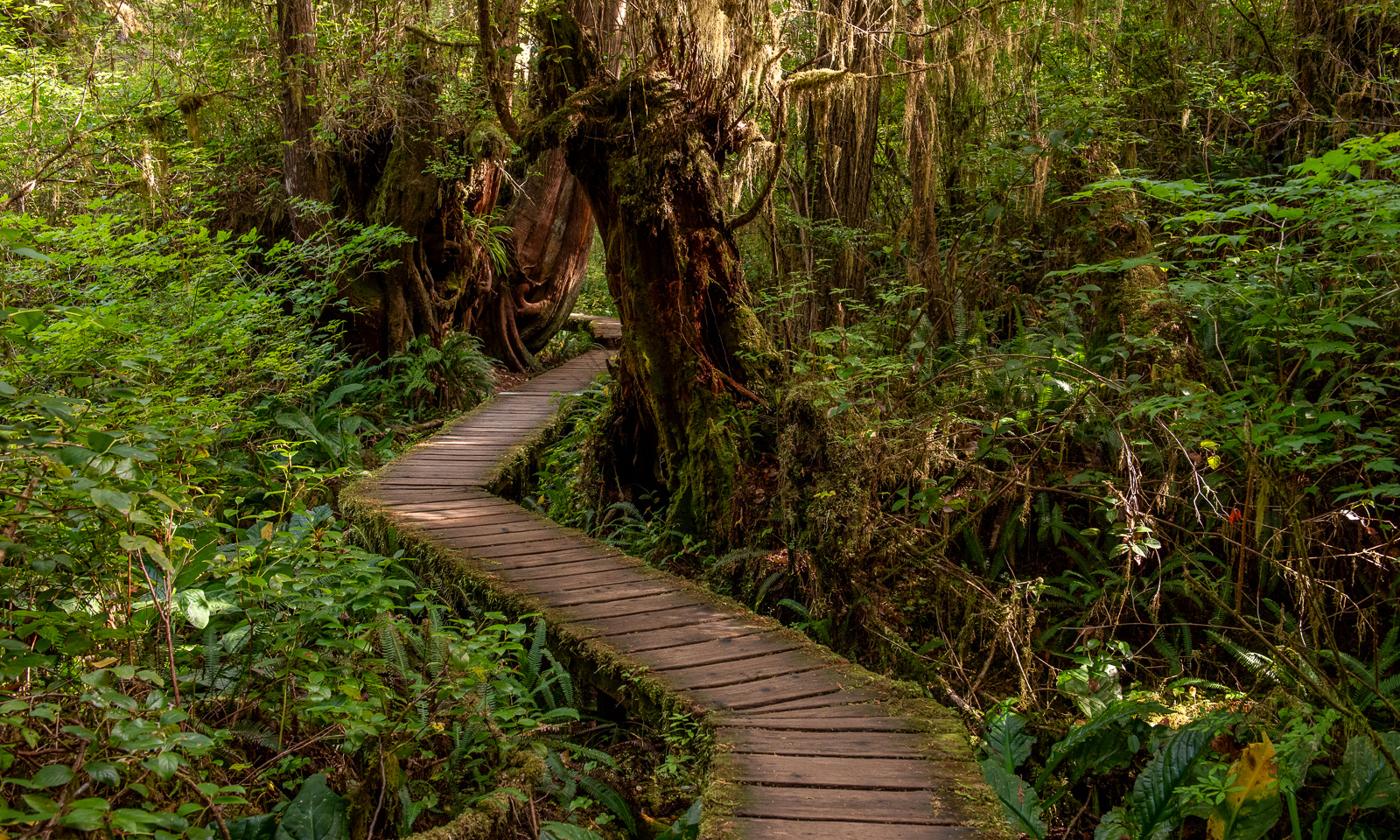
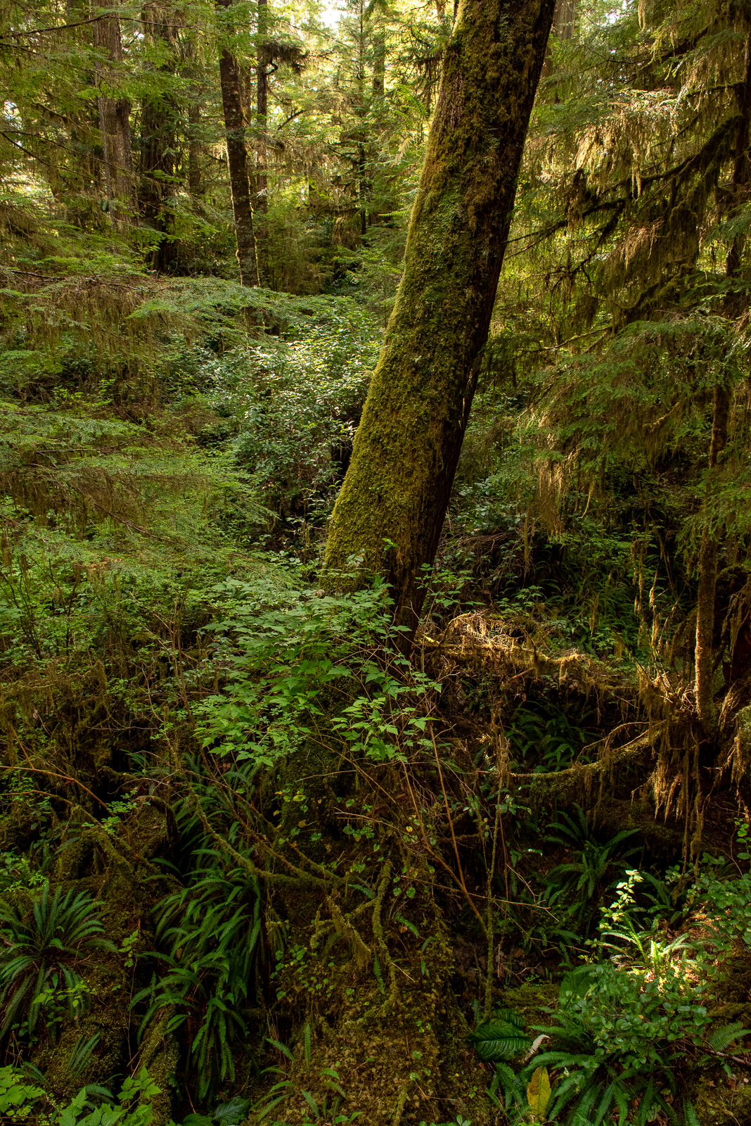
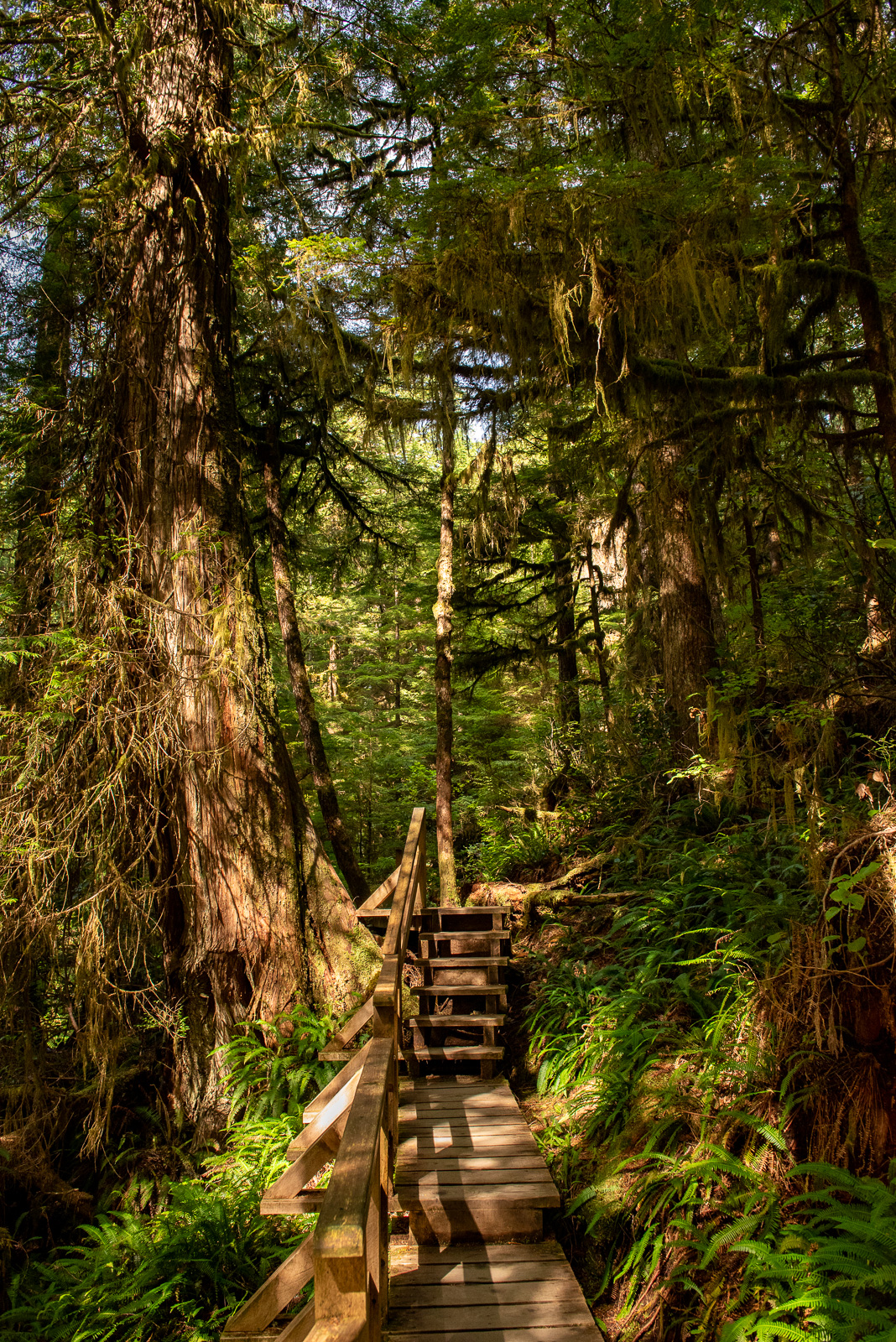
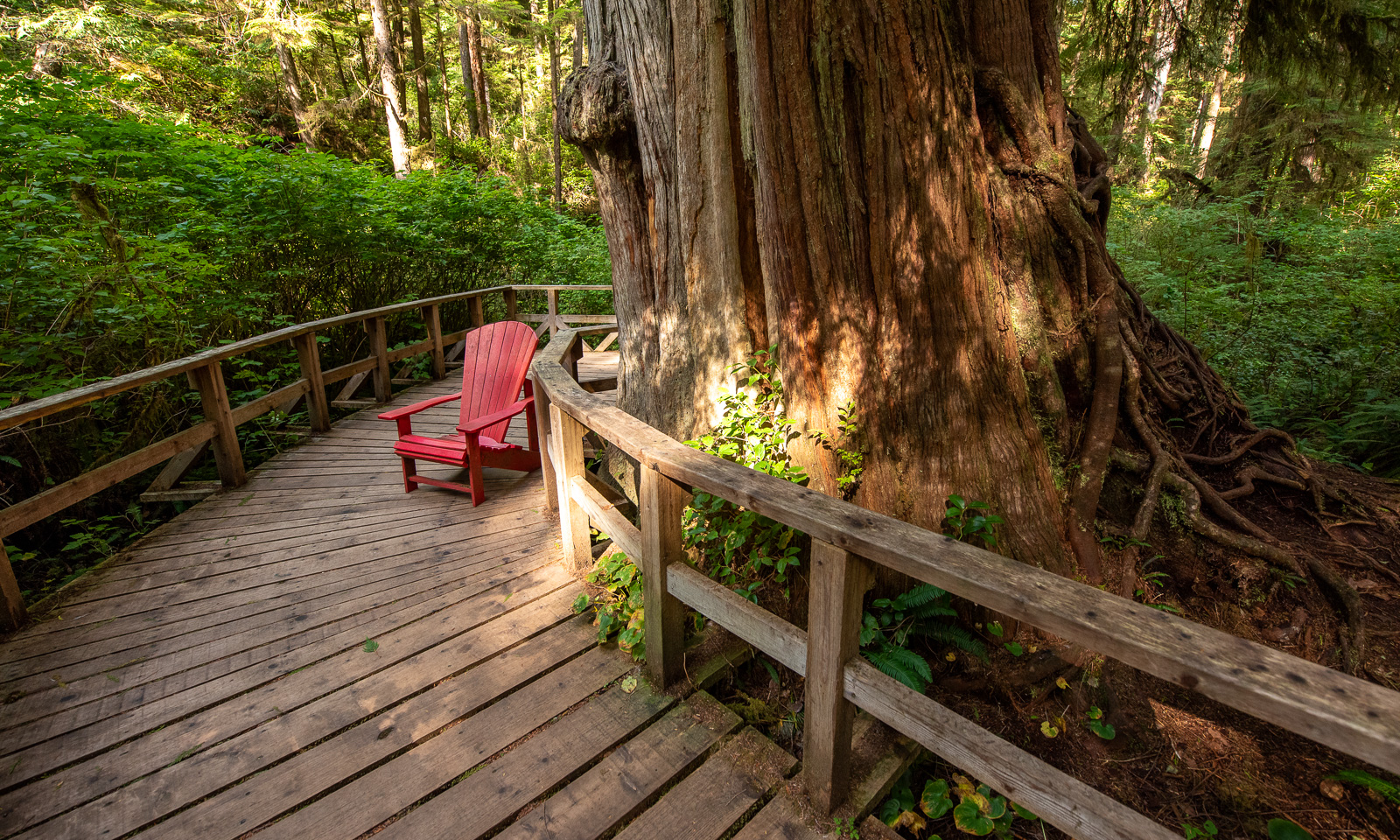
Then we make a stop at Cathedral Grove. It was a recommendation of a local from Vancouver that we met a couple of days ago. And this place is amazing. This is not just some forest, it is an ancient rain forest with gigantic trees, both tall and thick so that you may need a whole group of people to embrace it. I never ever saw a forest and trees like that and my concerns that Canada could be too similar to Scandinavia are immediately washed away.

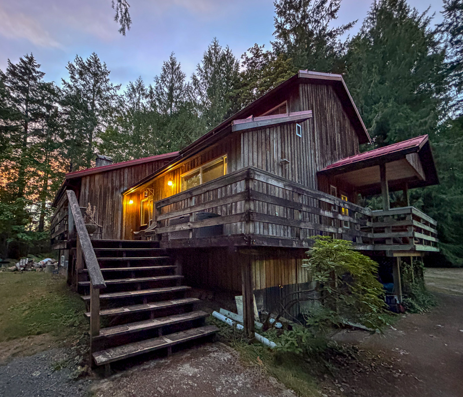
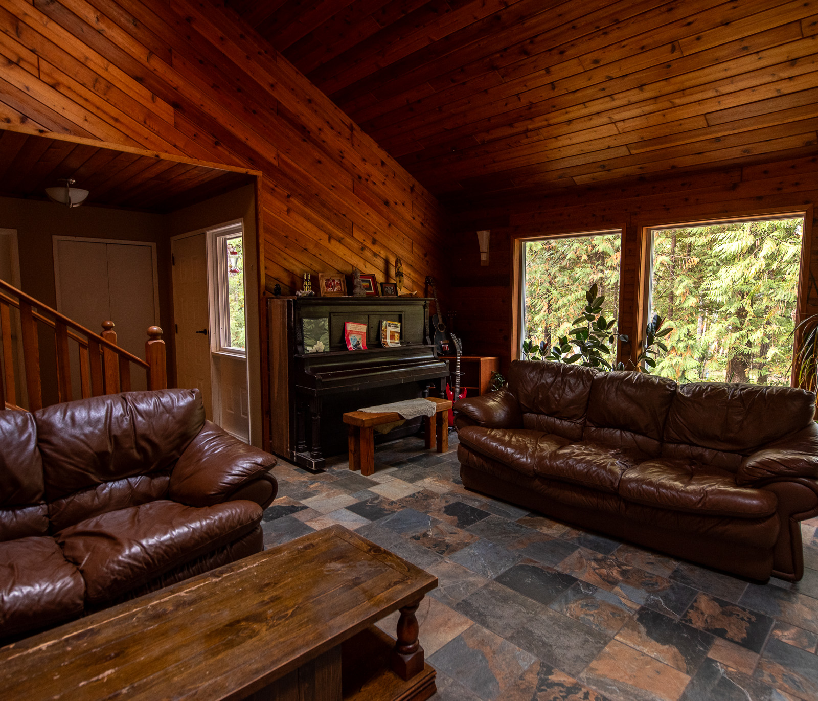
From there it is not far away to our accommodation near Port Alberni, a beautiful blockhouse that we have booked for a night but immediately extend to three nights. It has a large living room including a piano and everything you need. Later Ryan, the friendly and helpful owner will tell us about the house’s story, but now we just fall into the king-size bed and are soon fast asleep.

10 September

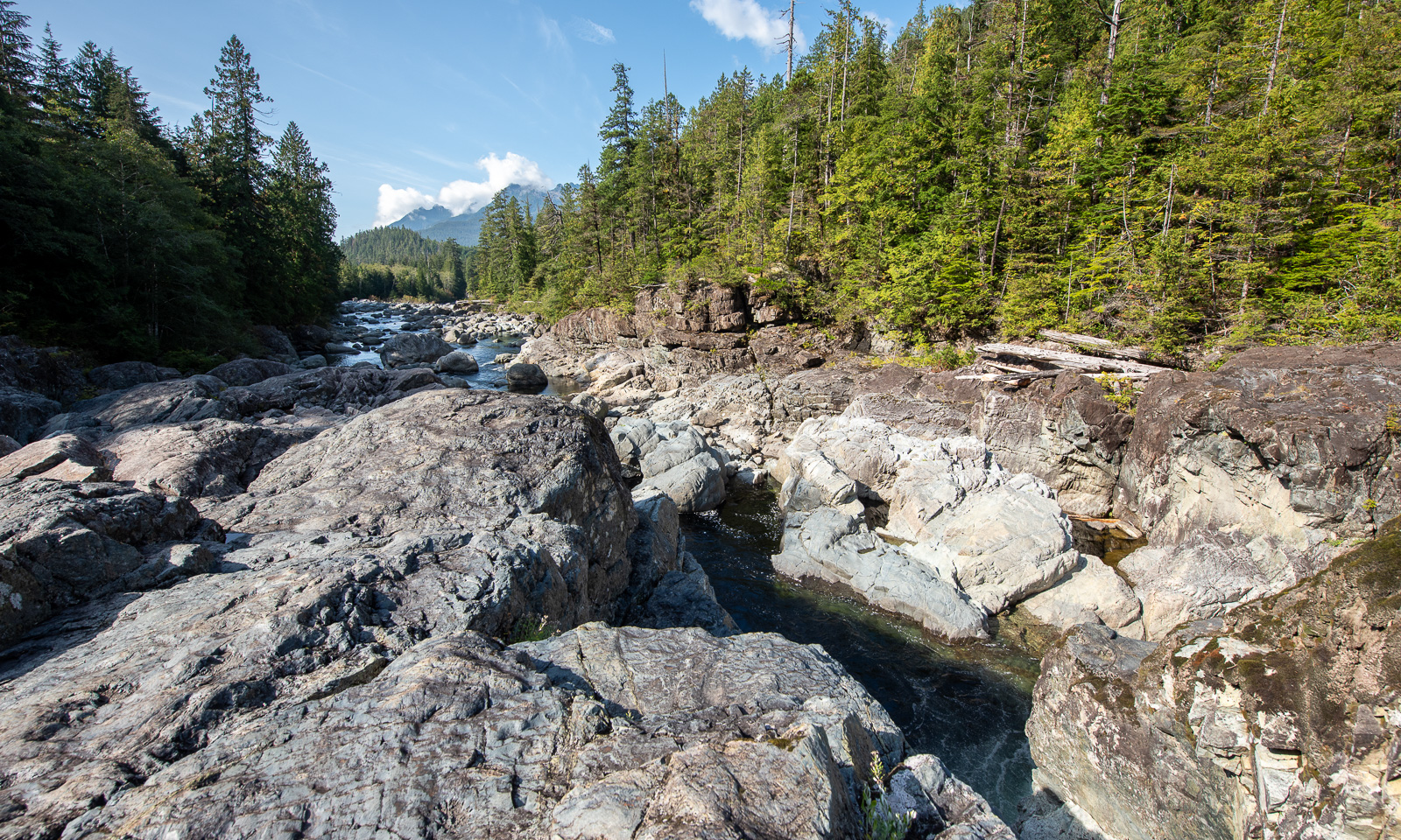
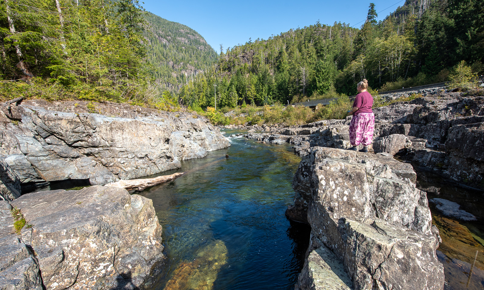
Today we have planned a day trip to Tofino including visits in the Pacific Rim National Park Reserve. Our first stop is an unplanned one – many more will follow, a pull-off by Kennedy River¹, that has created a gorge in the rough rocks. A good way to start the day.

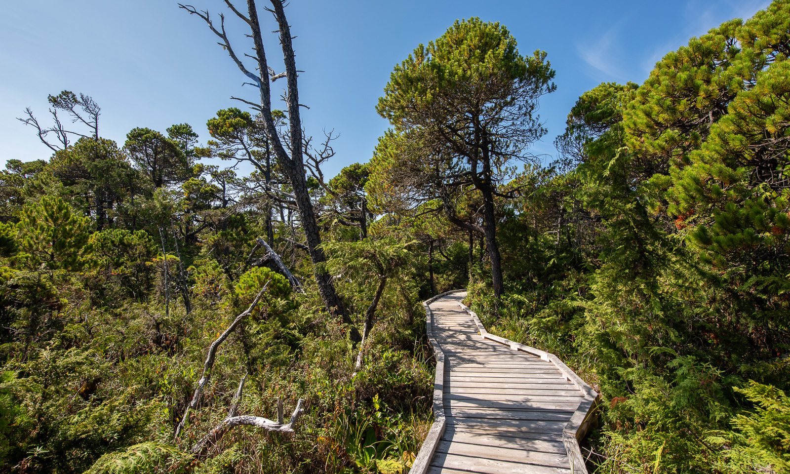
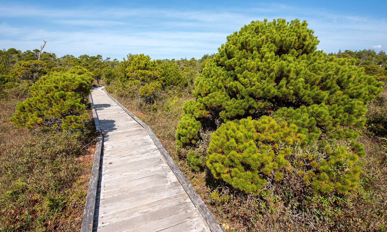
We buy a pass for the Canadian national parks and start with a short hike on the Shorepine Bog Trail. Well, I have visited countless bogs in Sweden, where the landscape is mostly sparse. Here a boardwalk leads over the bog, which is wet as well but overgrown with large pines with intense green needles.

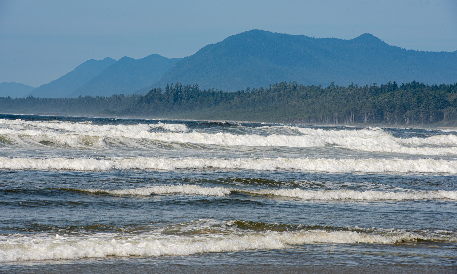
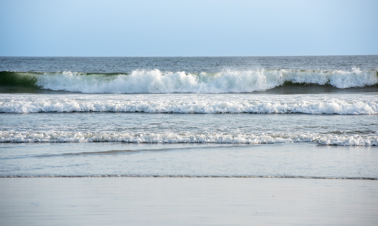
And then there it is – a Pacific beach, the open ocean. Both the waves and the many warning signs prevent us from taking a bath, but the impression of standing at the shore of the largest ocean of the world is thrilling. Next land to the west? More than 6000 km away!

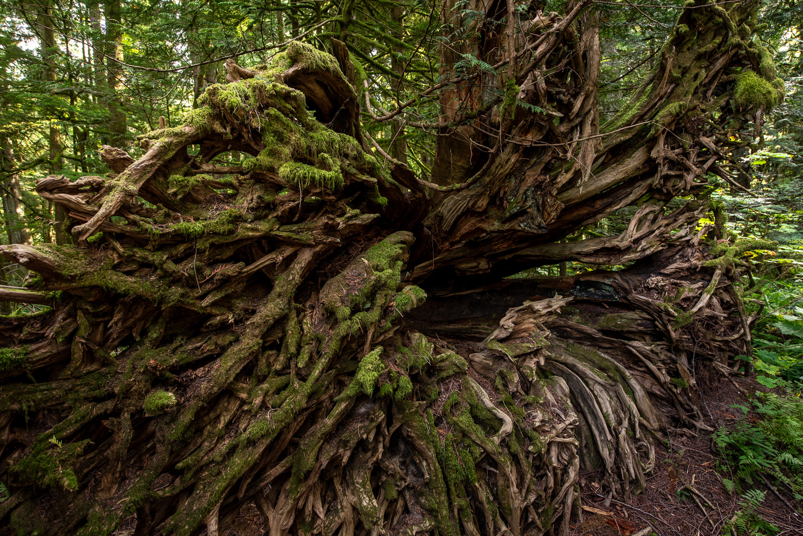
Before we arrive in Tofino, we walk both parts of the Rainforest Trail, which is as amazing as Cathedral Grove. Especially “Loop B” is outstanding, because it not only features giant trees but also leads into a deep-cut valley so overgrown that you cannot see any ground or soil. Even if you head to Tofino for the beaches – as I did – do make this hike. It does not take long but it’s absolutely worth it!

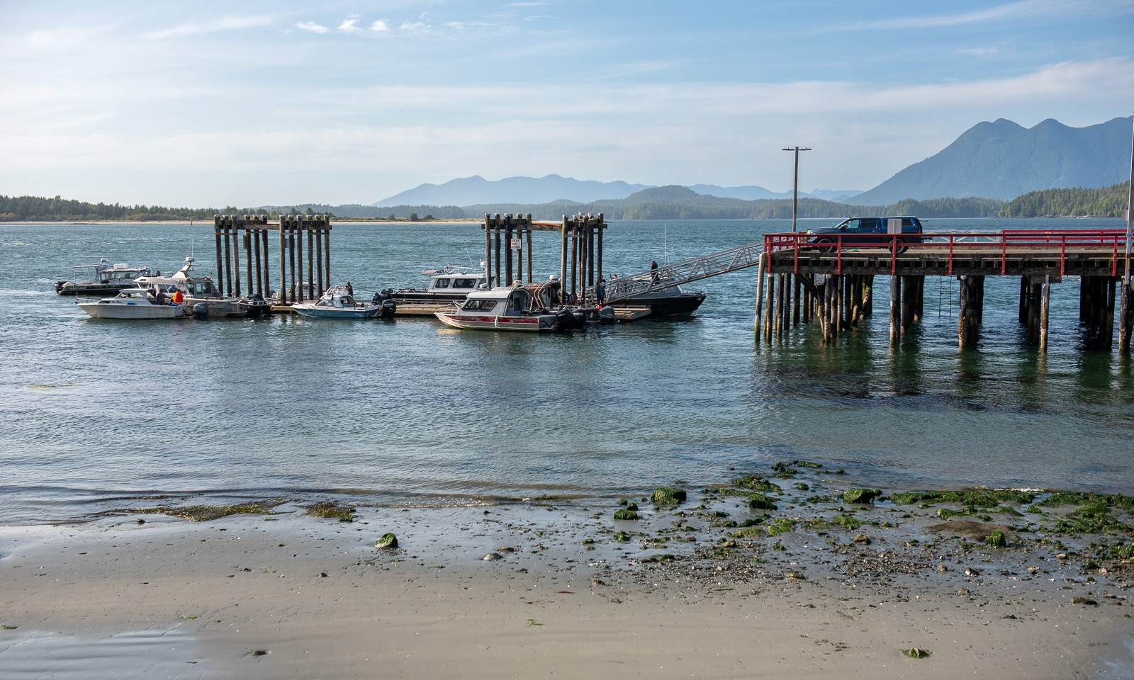
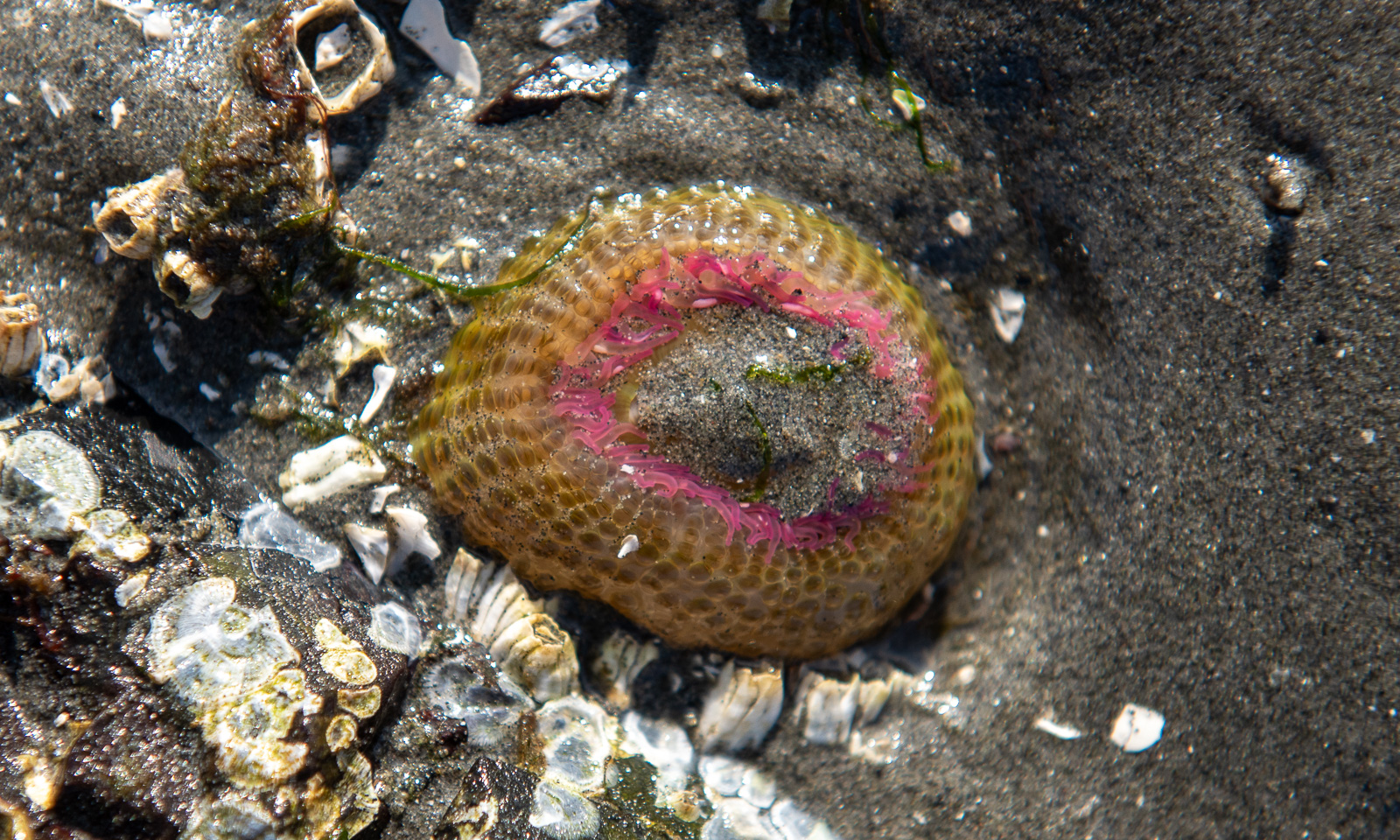
We spend the time in Tofino mostly replenishing our supplies, refuelling the car and having a meal by the harbour, where as many seaplanes than boats were arriving or leaving. I also found an animal on a rock under a layer of sand. It is the sea anemone Anthopleura elegantissima (thank you, Ulrich, for the specification).

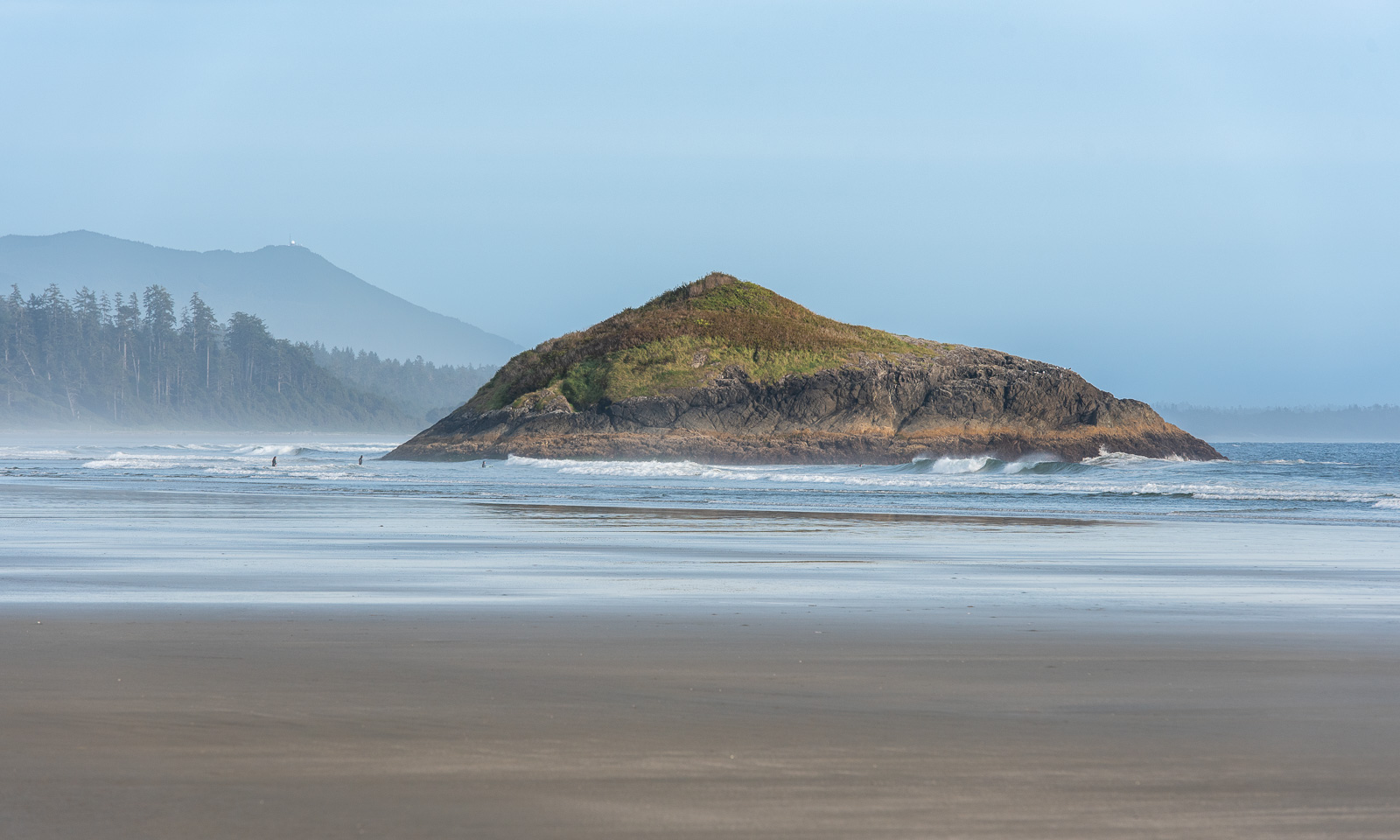
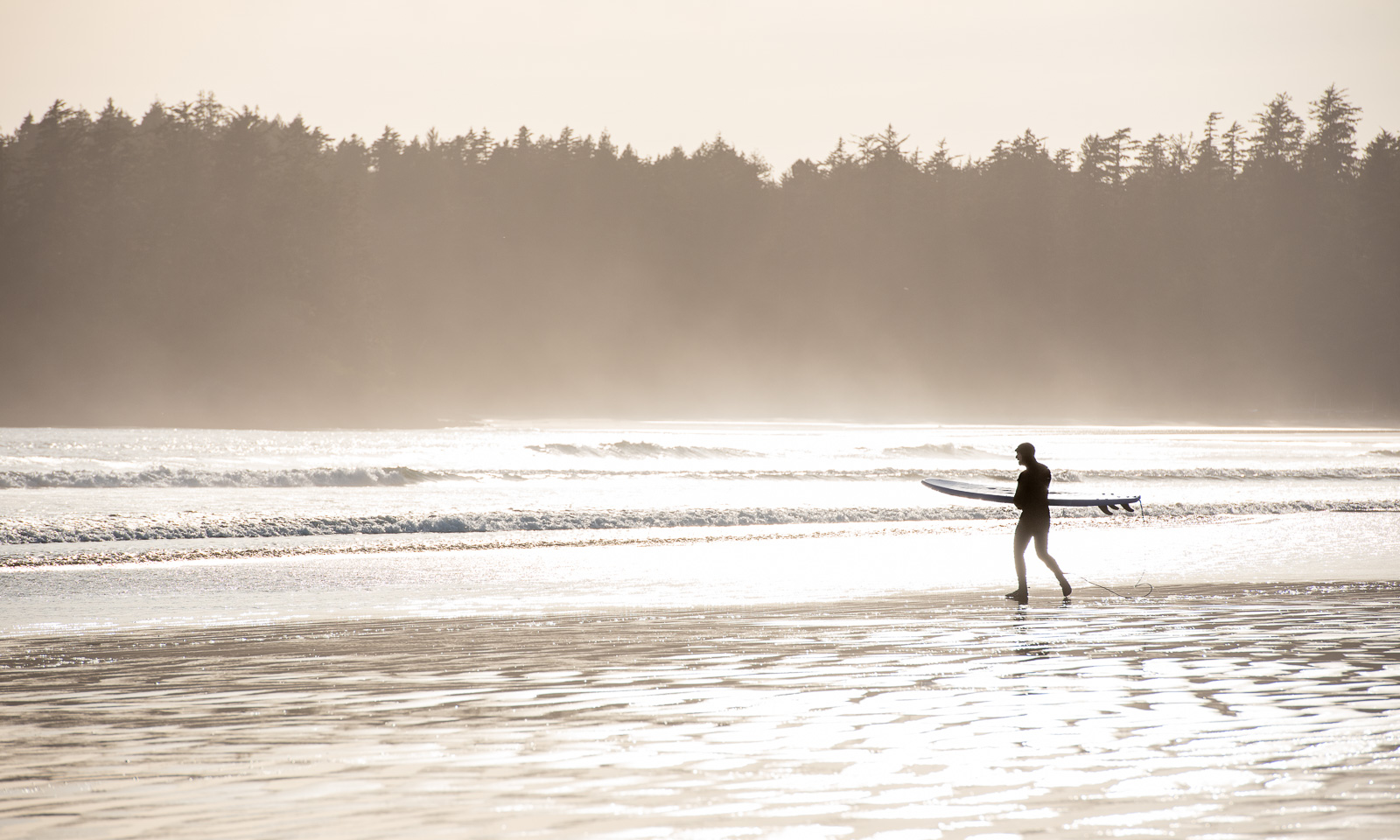
On the way back we stop at the northern tip of Long Beach, the largest beach, where we watch the surfers, take a stroll by the beach and collect some shells.

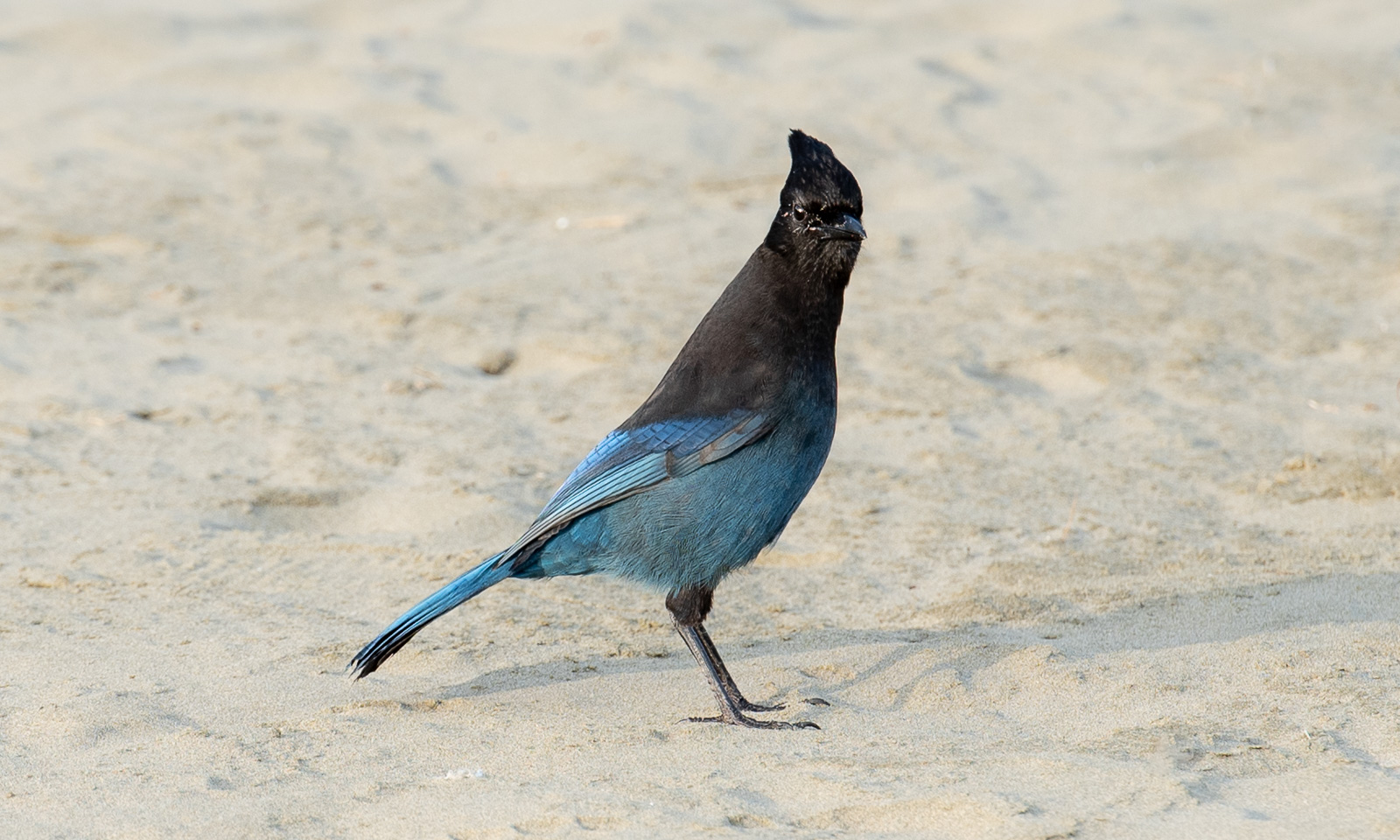
And here I finally manage to take a photo of a Steller’s jay. I’ve seen many, but they flew away as soon as I appeared with my telephoto lens.

11 September

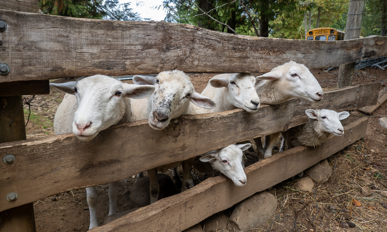
Our first day off. Taking it easy, feeding the sheep, playing the piano, taking a bath in Sproat Lake, taking a nap and another bath in Sproat Lake. It’s important to let the many impressions sink in.

We will stay another day on Vancouver Island, then we will head back to British Columbia’s mainland.

_____
¹Kennedy River may be the wrong name.

Early September in Tromsø

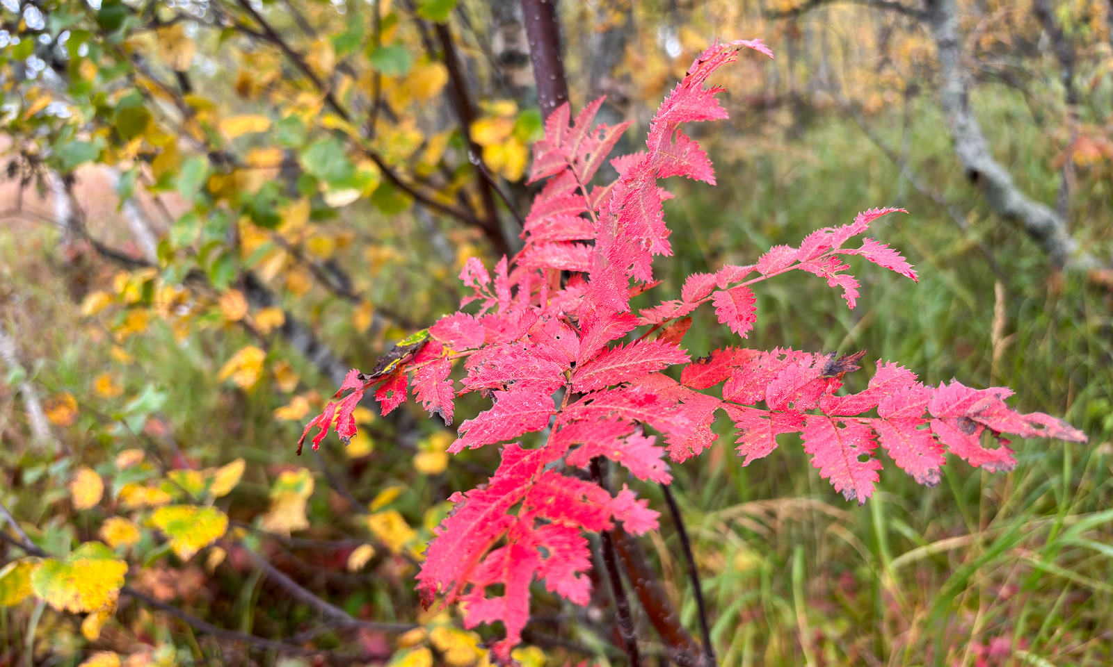
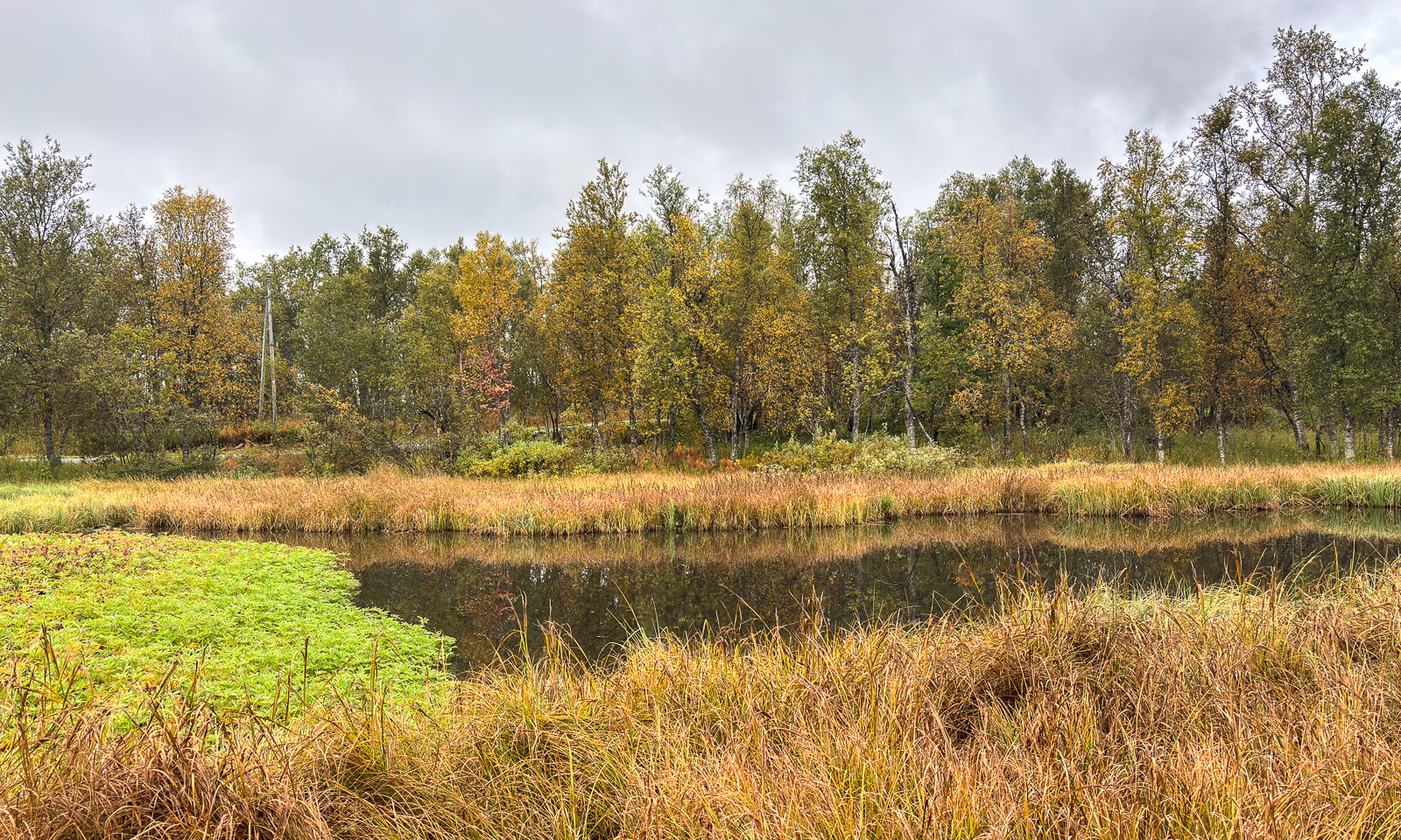
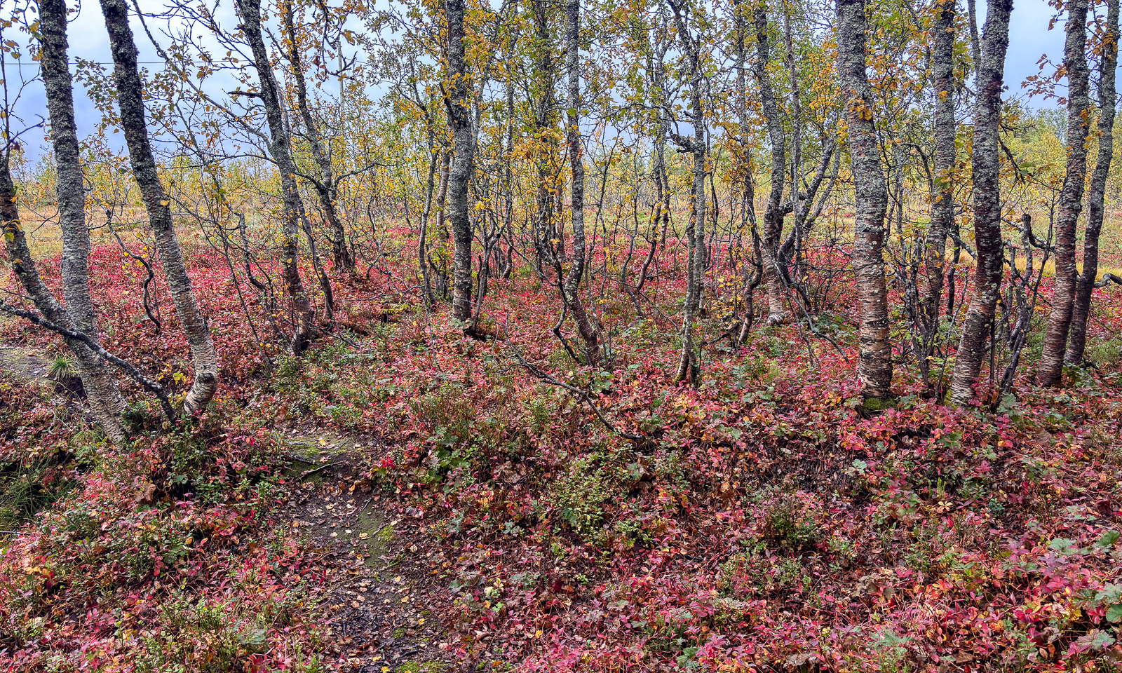
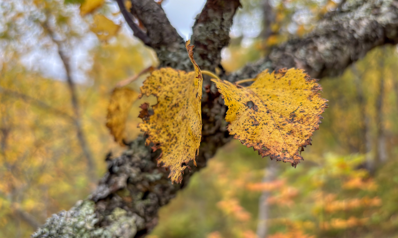
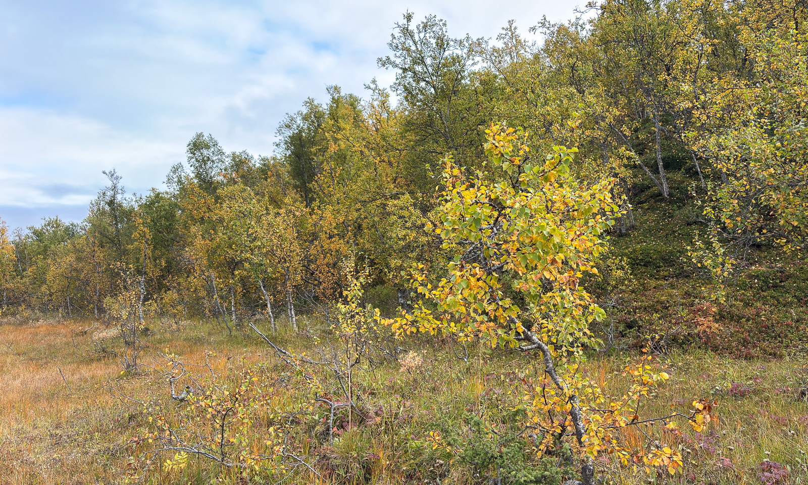
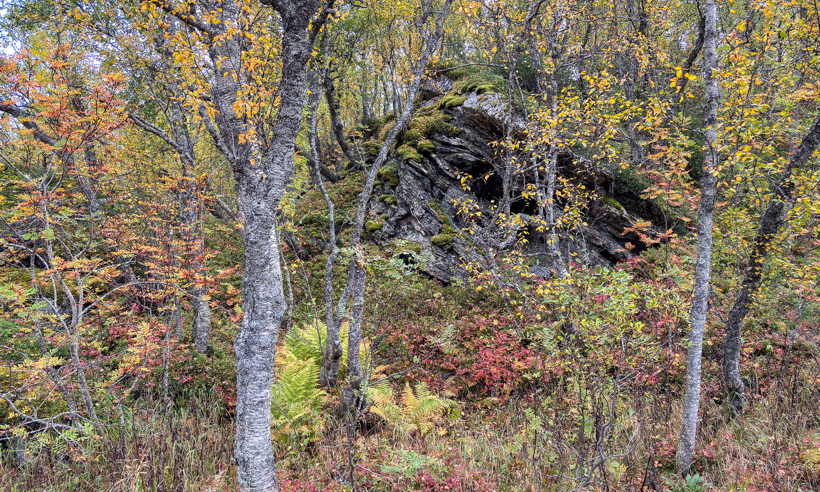
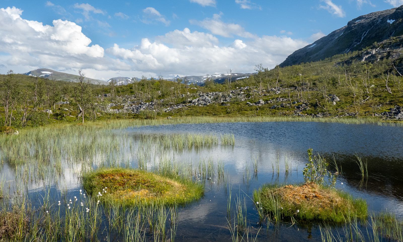
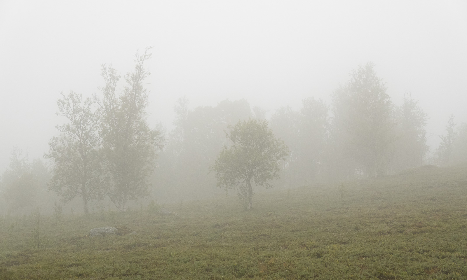
The first signs of autumn have arrived in Tromsø in recent days. I took some snapshots with my mobile while following the paths through the forest and the wet trods over the bogs. Still many birches are green but some are yellow and have starting shedding their leaves while parts of the undergrowth are bright red.

Today I left Tromsø behind for four weeks. I flew to Oslo and will spend the night in a hotel near the airport. Tomorrow I’ll fly to Amsterdam where I’ll meet my wife Annika and then we head for our furthest journey yet. Canada for four weeks! British Columbia and Alberta. I’m very excited, a bit nervous and pretty curious how it looks like.

A late summer overnight stay at Bjuröklubb

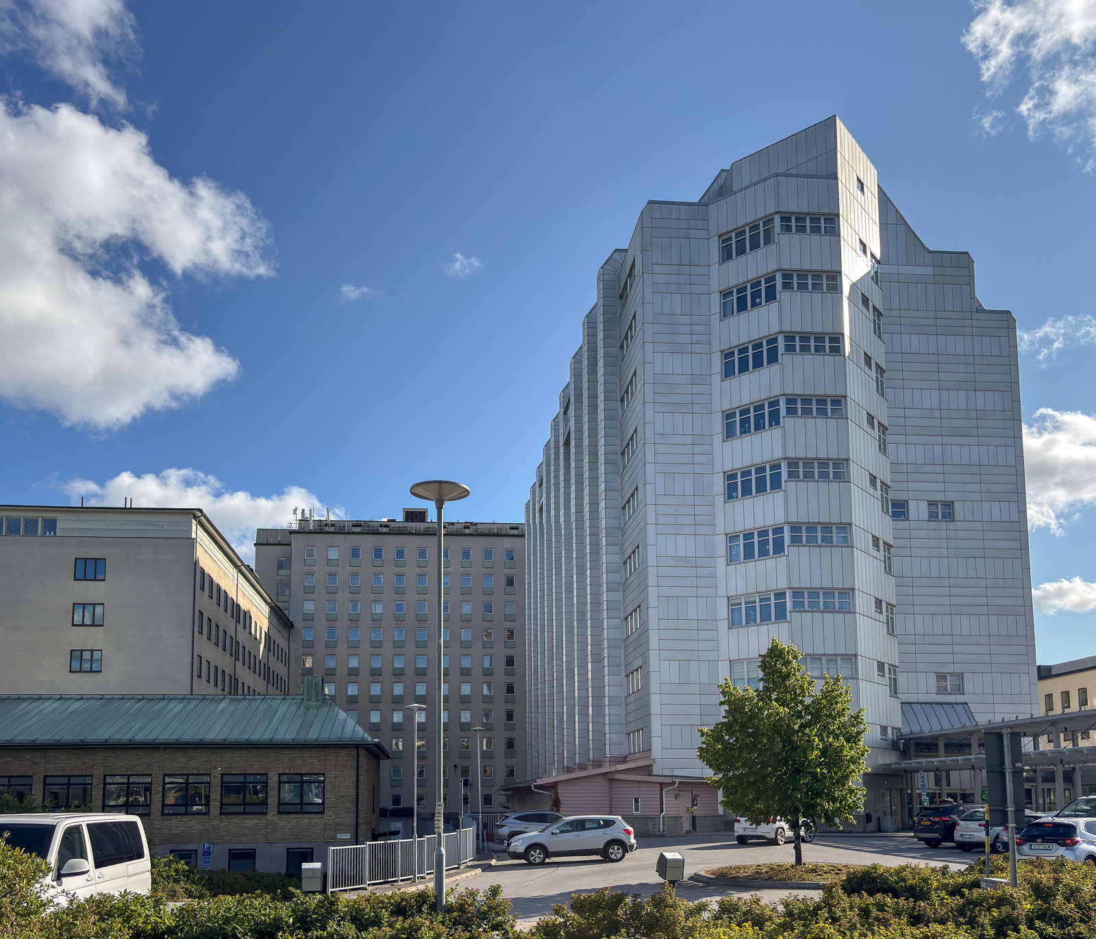
Thursday afternoon. It is just before the bus stop that I discover the first fly agarics of the year. I have walked about 3.3 km from our home in Obbola to the nearest bus stop. From here it’s half an hour’s bus journey to Norrlands universitetssjukhus, the hospital where I meet Annika.

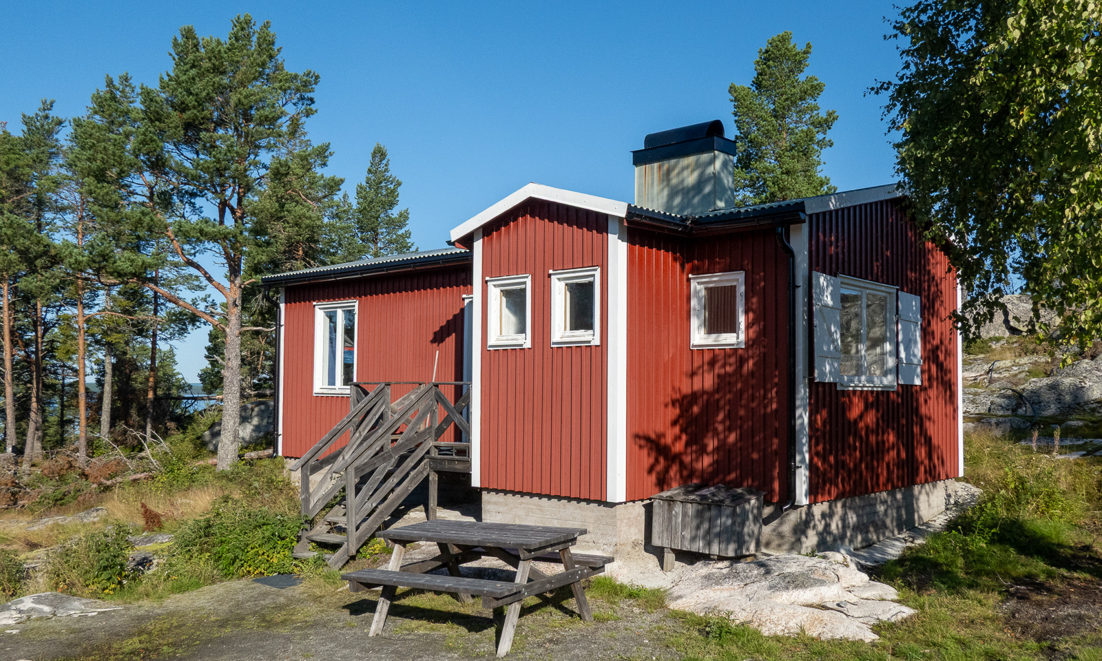
We take her car, heading north to a well-known place: Bjuröklubb. The first time I went there was 25 April 2010, just three days after I moved to Sweden. The last time I was there was with Annika on 28 June 2024, when we rented the cabin Spanarstugan for an overnight stay.

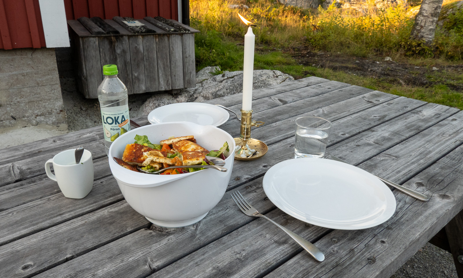
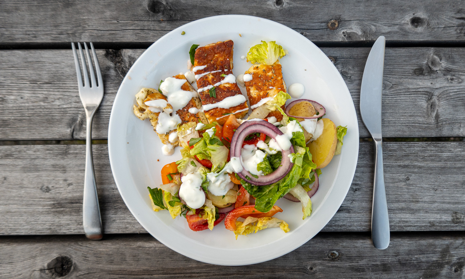
Since we both have Friday off and the weather forecast looked promising, we have hired the cabin again at very short notice. Luckily it was free. After a 120-km drive, we arrive there, carry our things up the last 250 metres on foot and there we are again: at one of my favourite places, having the large cabin for ourselves and everything we need for a tasty outdoor dinner.

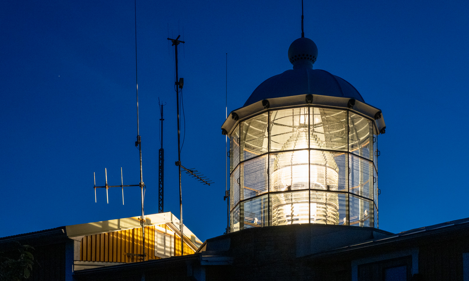
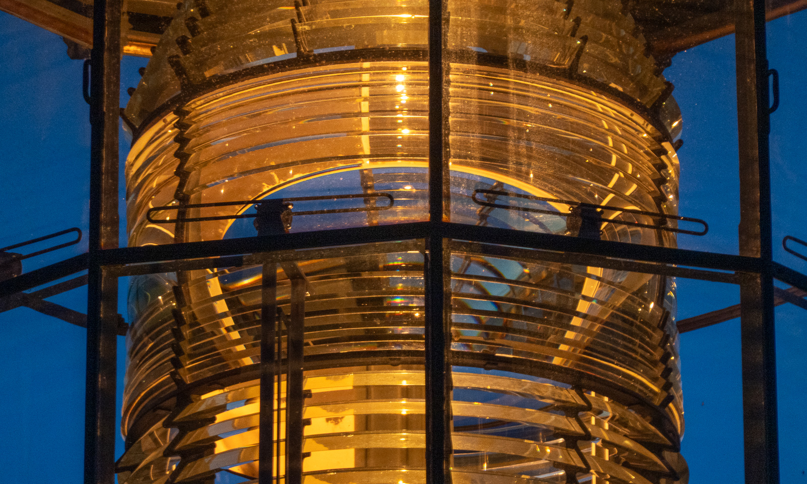
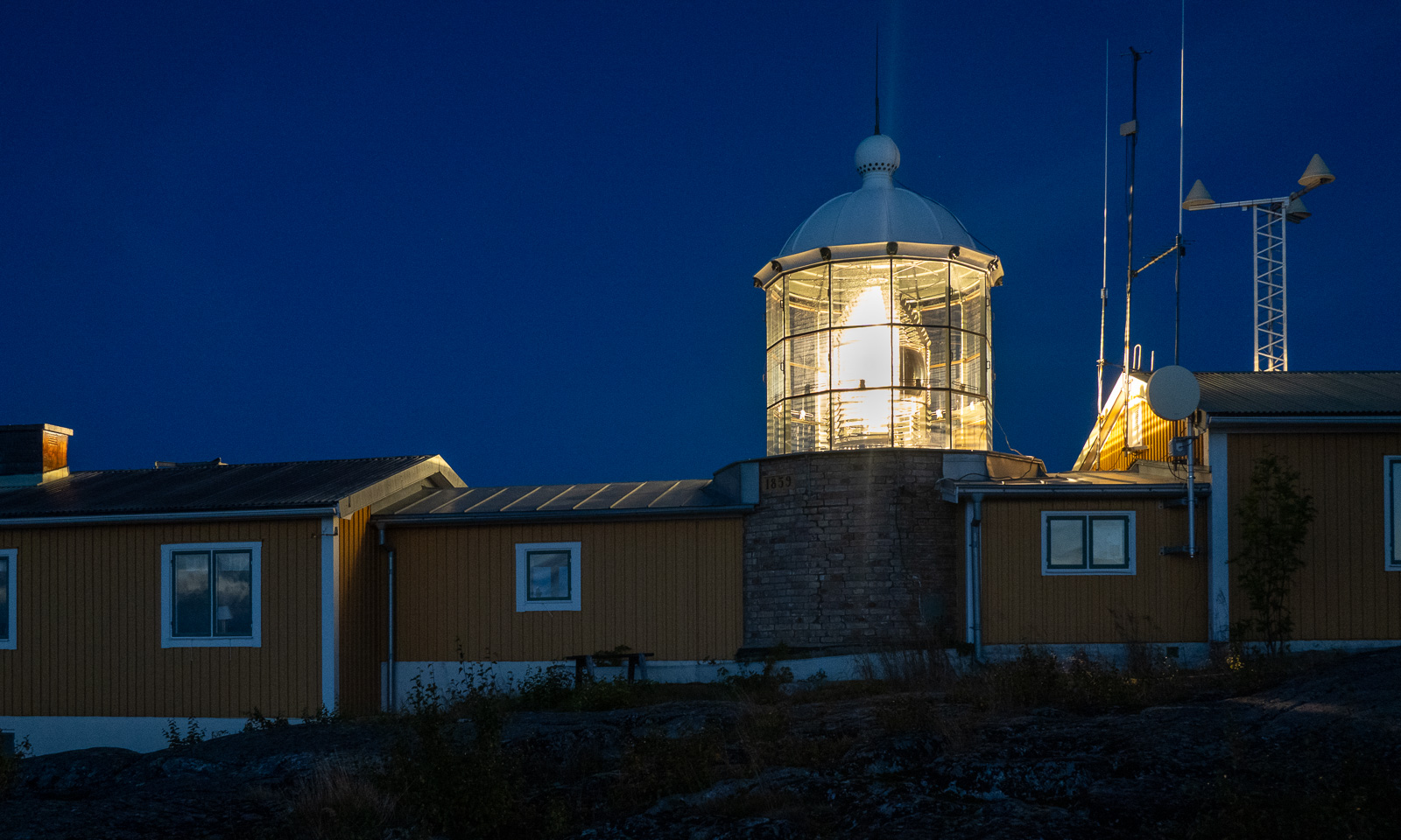
After dinner we go up the hill to the lighthouse Bjuröklubbs fyr which, despite its age, is still active. From here you have a unique view of the sea and, weather permitting, beautiful sunsets.

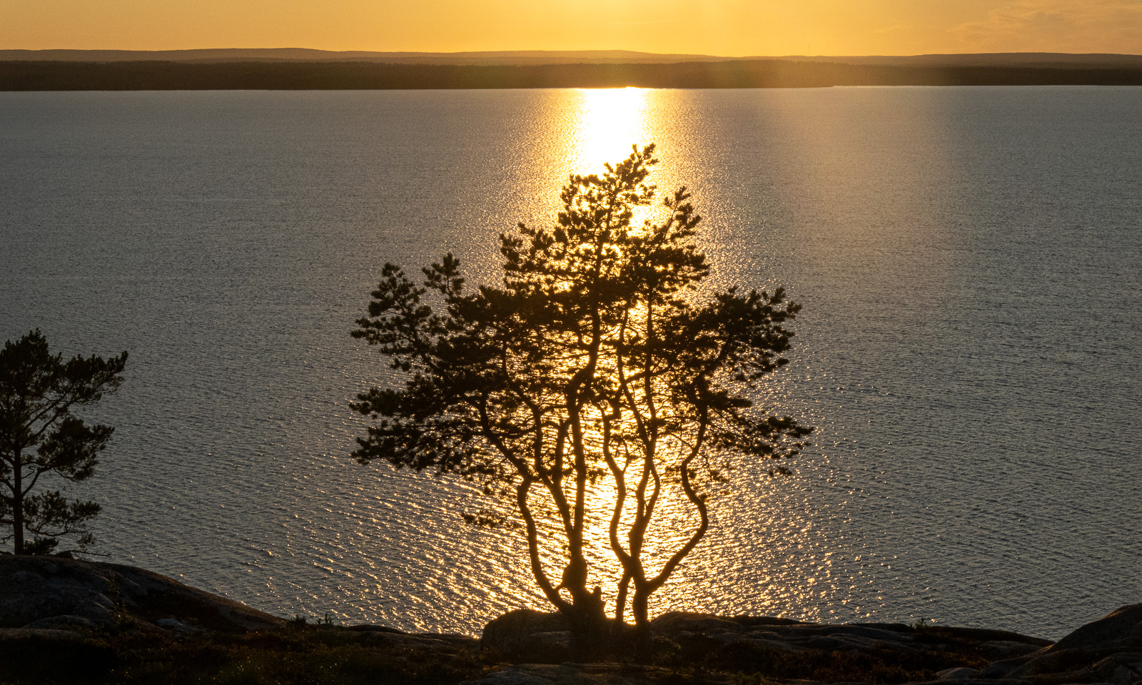
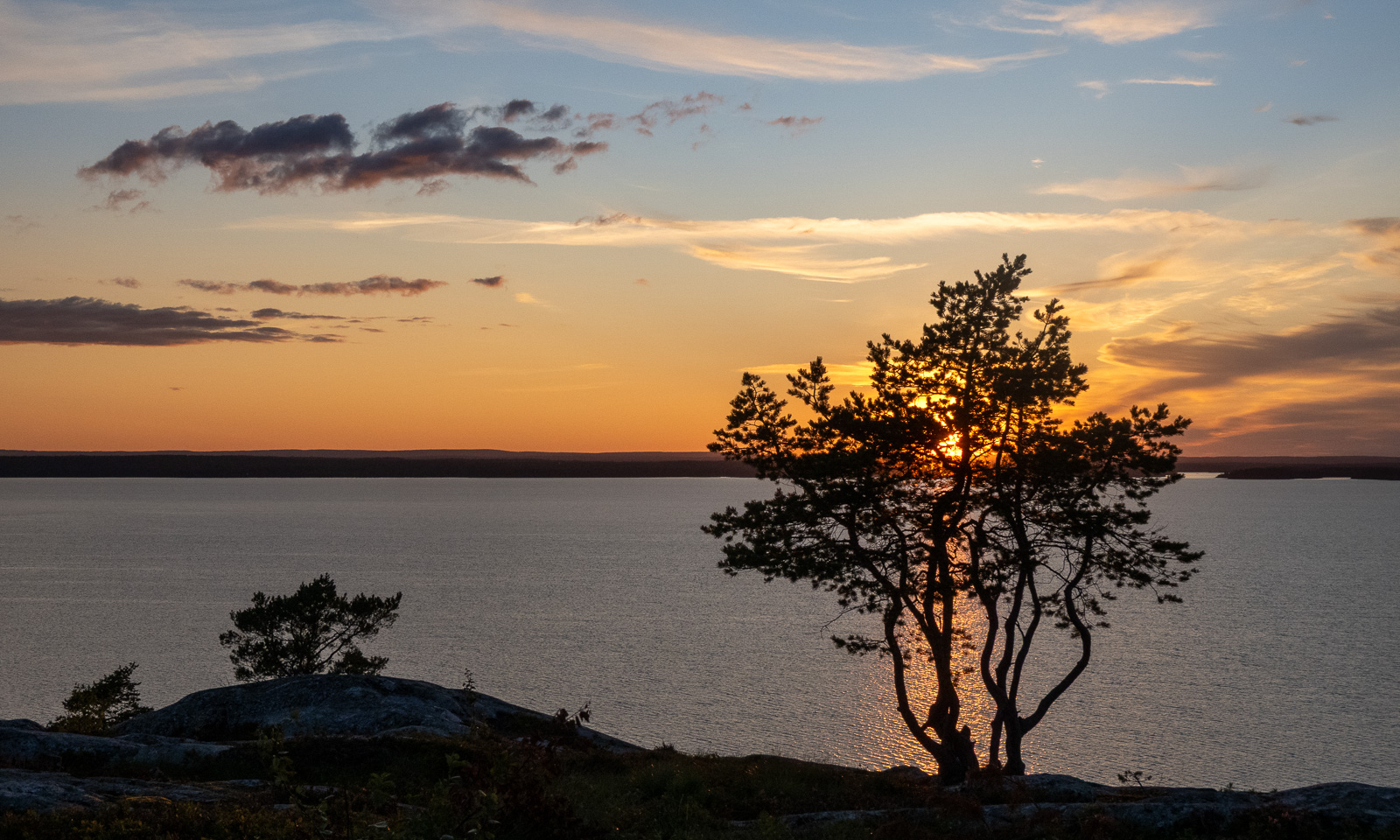
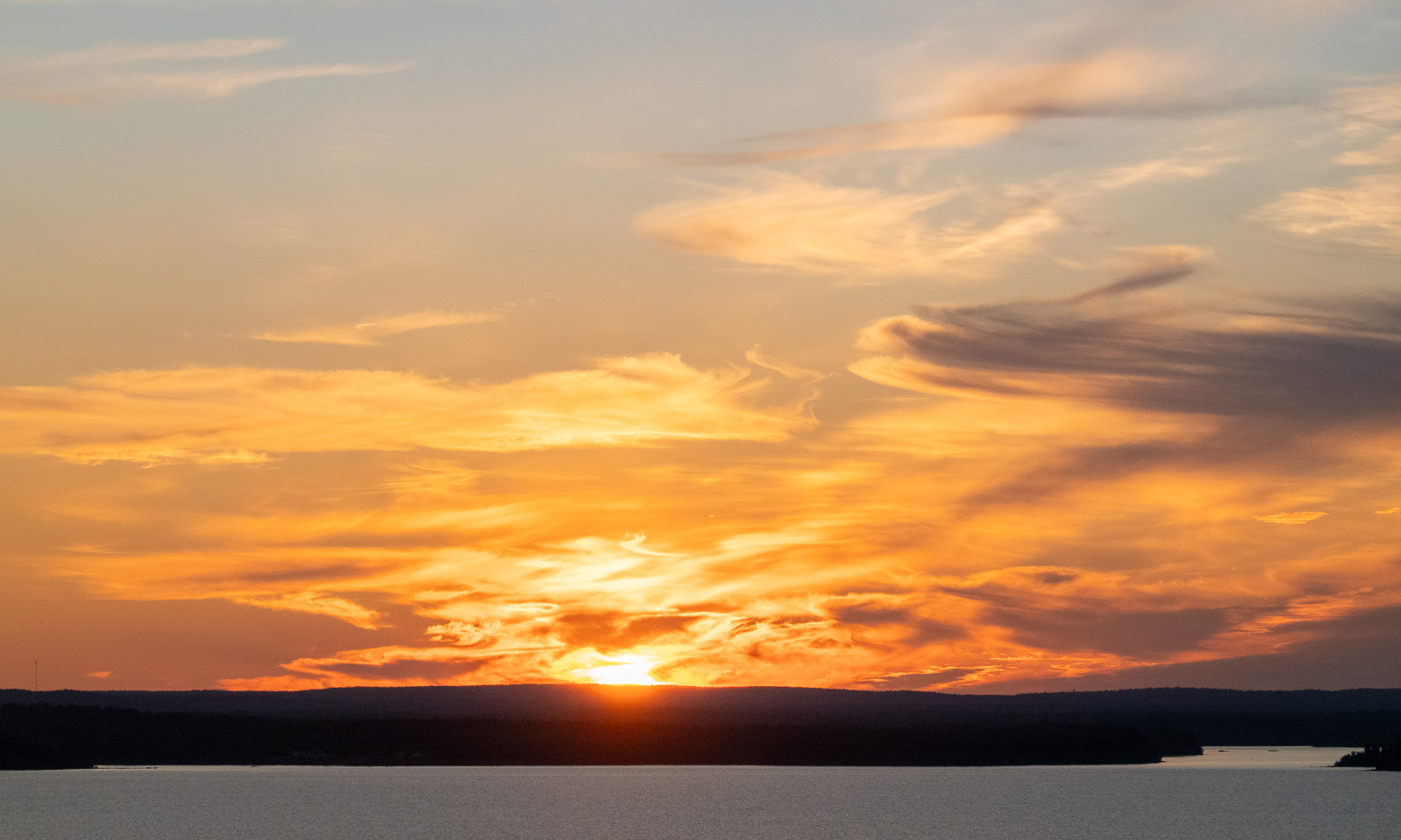
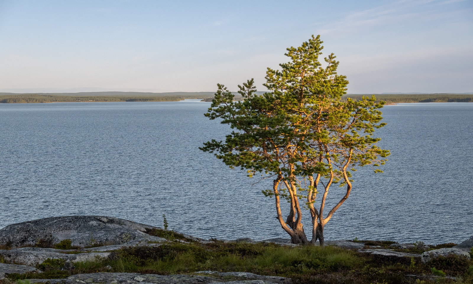
As the sun sinks lower and lower, the light gets warmer and warmer and it takes a while for the sun to set behind the distant, flat hills in the north.

An hour later it has become darker and the stars are out. The pine trees appear as black silhouettes and the lighthouse has started its work.

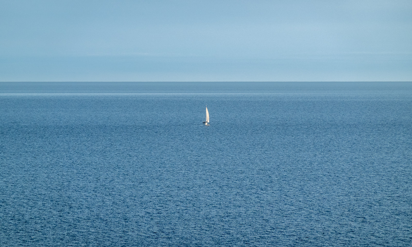
The next morning the weather is still clear. A small sailing boat is already out at 6 o’clock. Where does it come from, and where is it heading?

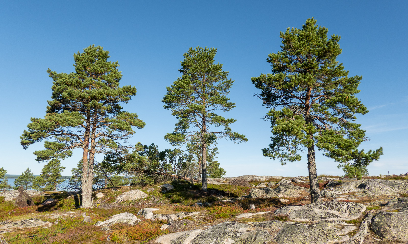
Today is Annika’s and my sixth wedding anniversary and I’m not only blessed to have Annika as my wife, but also glad that we are here together and the weather is nice and the hares are running and the birds are chirping and the butterflies are fluttering around and that we can even have breakfast outside in the sun. But before that: New day – new photos!

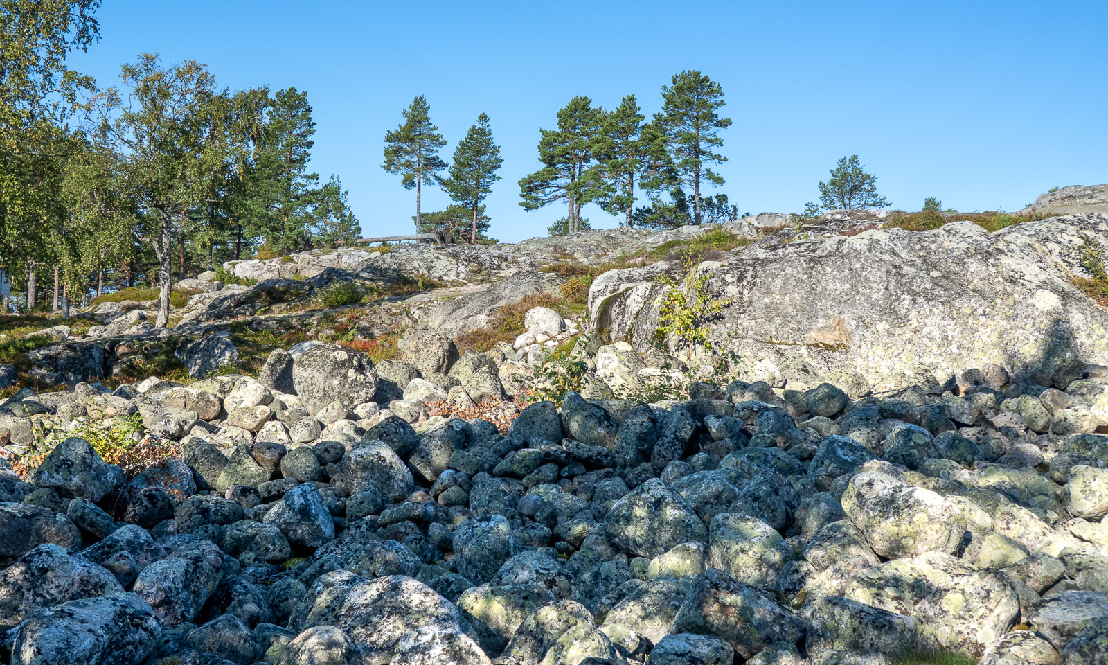
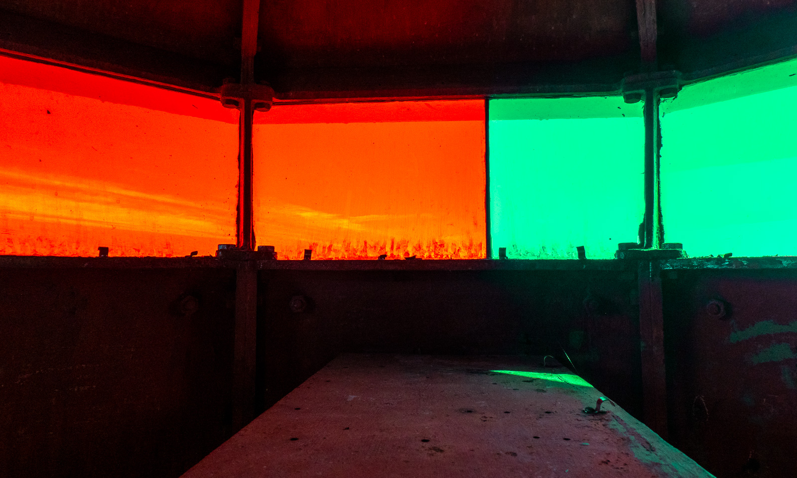
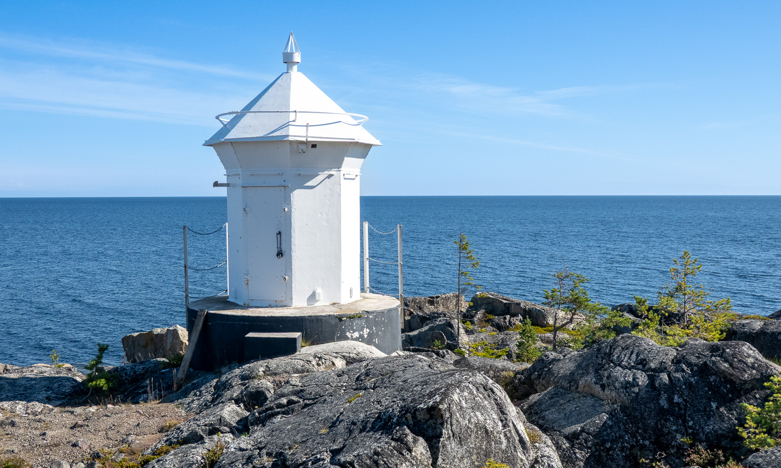
After lunch, Annika is picking berries while I am walking and climbing to the old lighthouse Bjuröklubb Nord Östra, an abandoned leading light situated by the sea.

I unscrew a hook that locks the metal door, open it and peek in. While the windows still retain their colours, the light source is long gone.

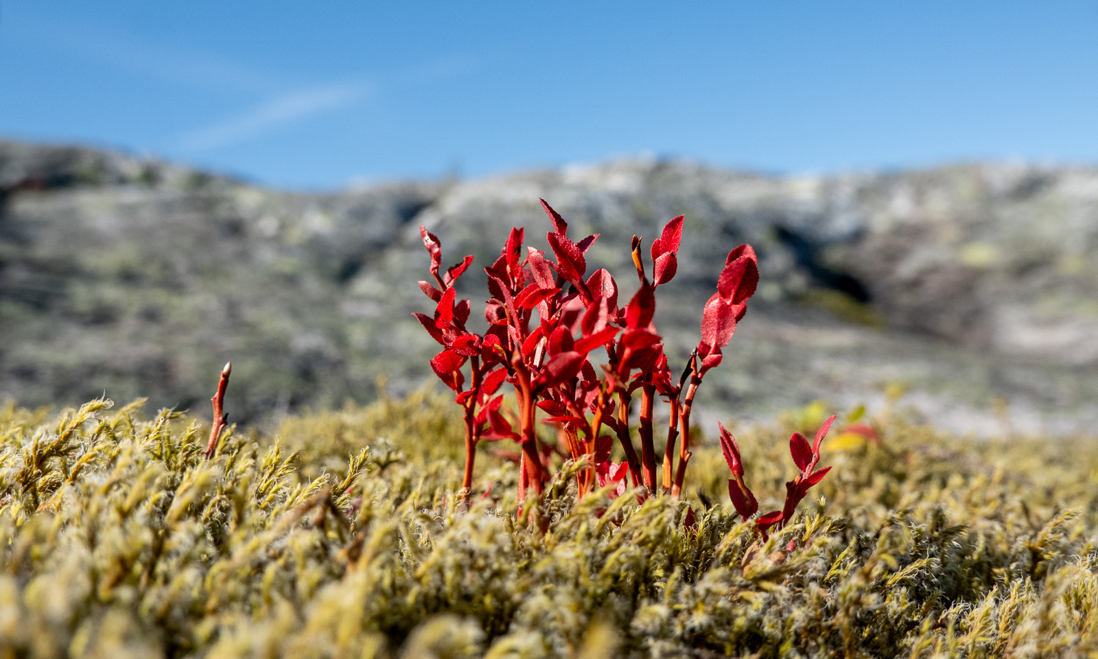
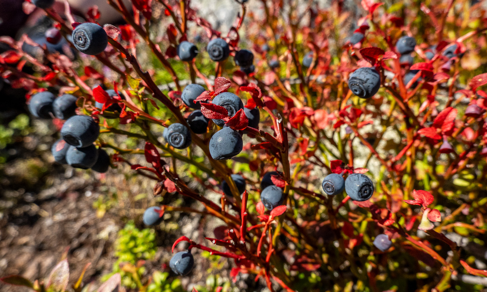
On my way back I meet Annika in the sun. She is still collecting blueberries. Although the warmth of the sun makes it feel like a summer day the bright red leaves on the blueberry bushes show that autumn is near.

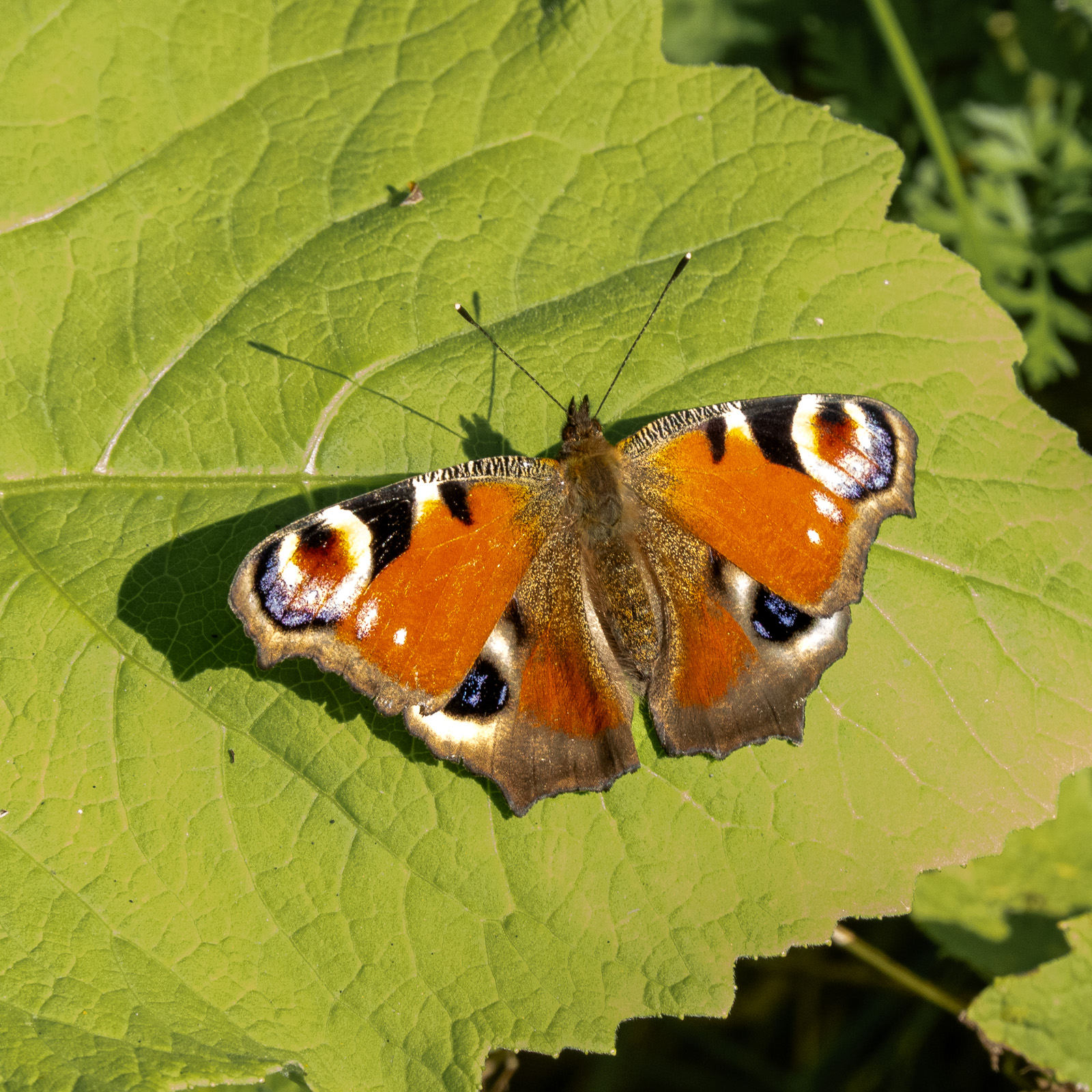
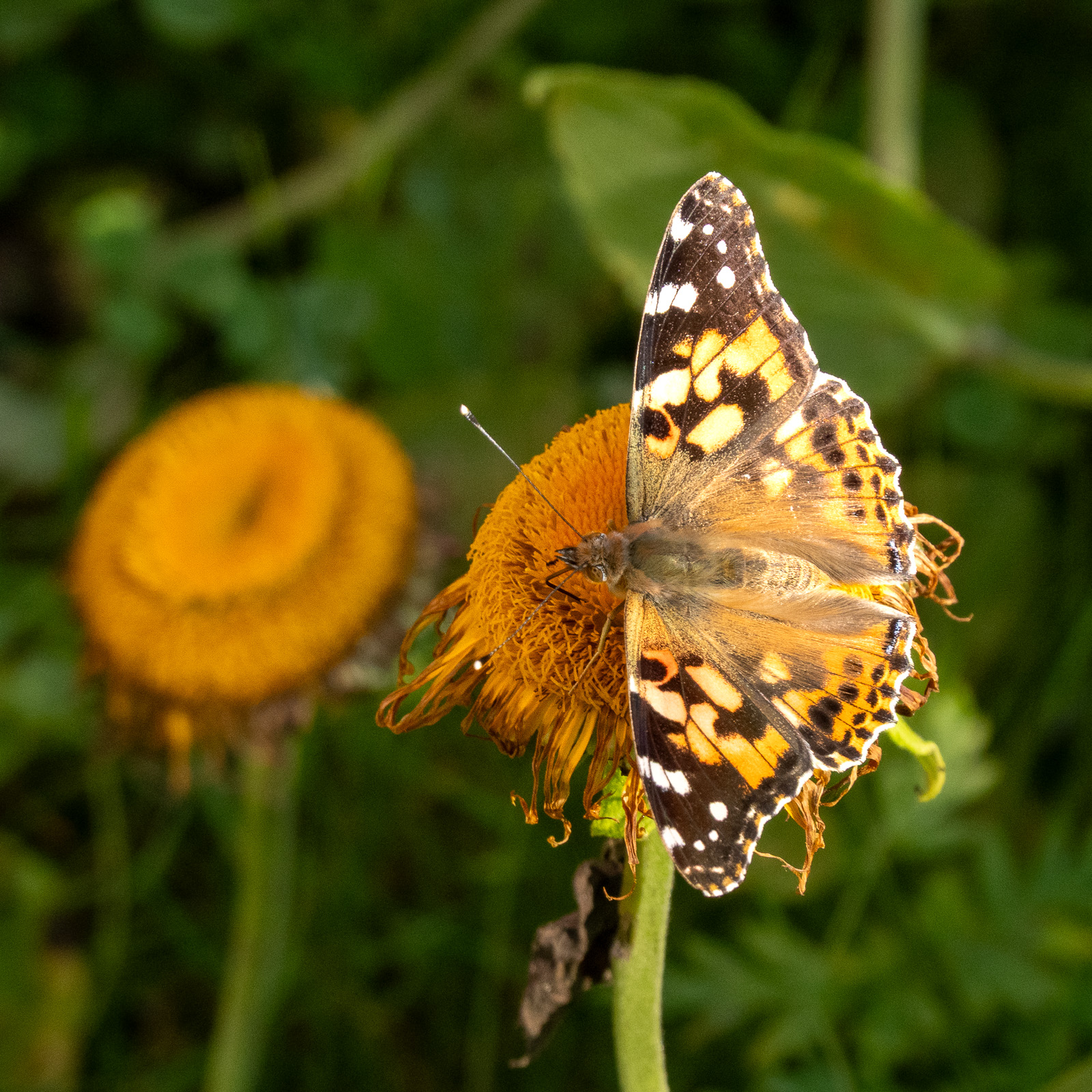
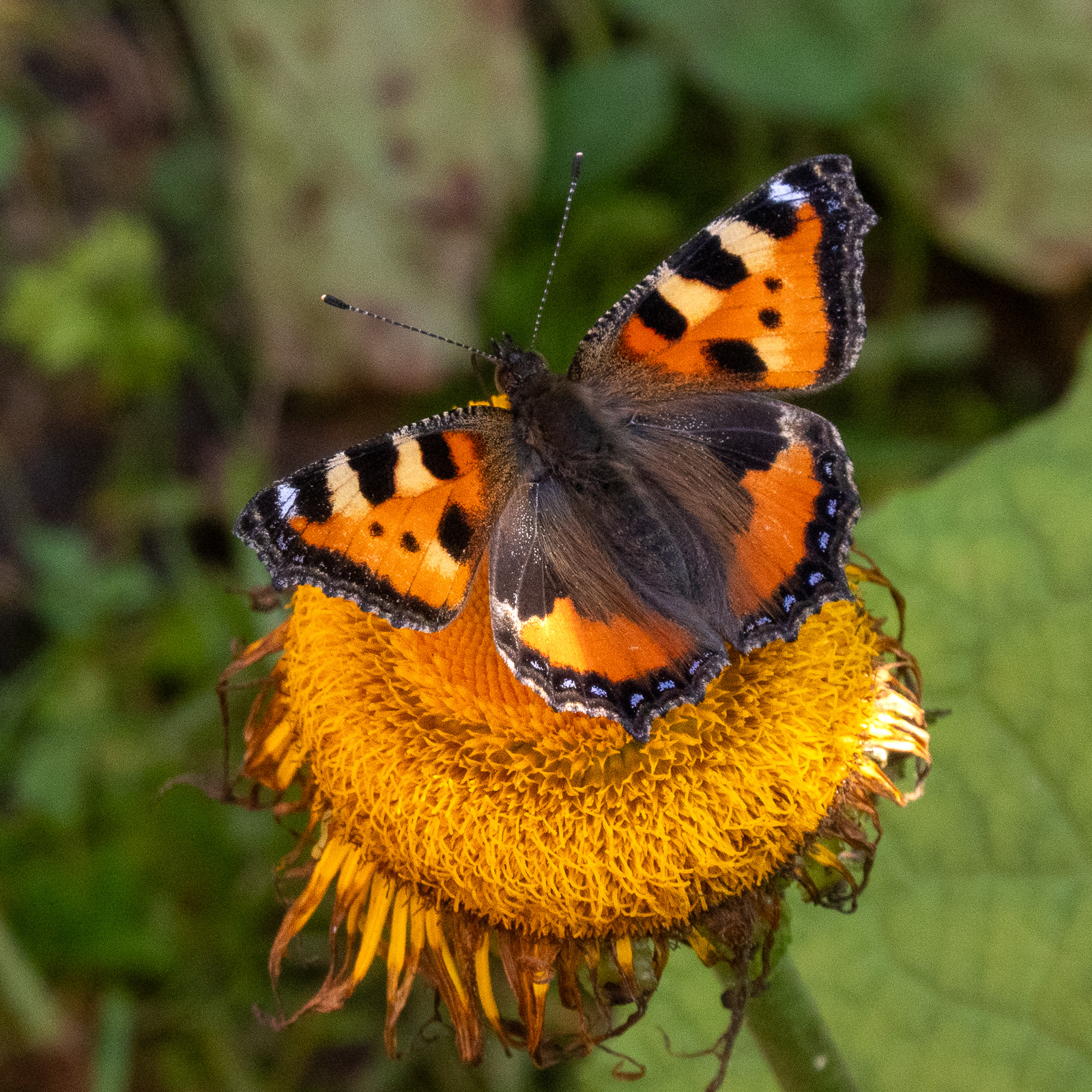
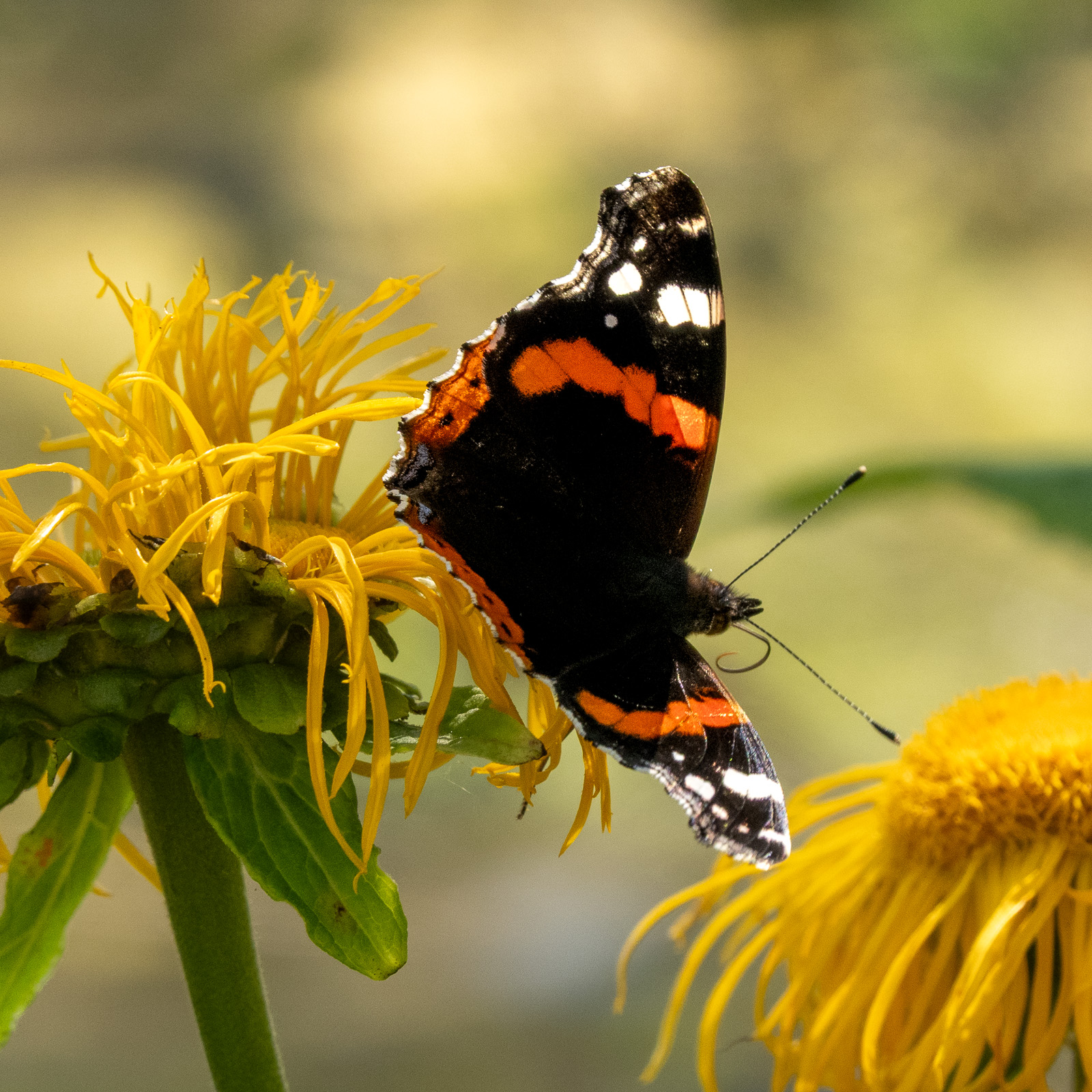
Meanwhile, the café has opened. Time to buy some ice cream. After I have finished mine, I try to take photos of the many, many butterflies. Anyway, that’s not easy because I left my big Nikon camera at home and my small Sony camera is a bit picky when it comes to focussing on such subjects. These are the best shots: European peacock (Aglais io) – painted lady (Vanessa cardui) – small tortoiseshell (Aglais urticae) – red admiral (Vanessa atalanta).

Flying a drone

I’m sitting on a bench at gate E18 of the Tromsø Airport. E18 means it’s an international flight. I am flying to Munich and will be spending a week in Augsburg. In Tromsø the temperature exceeded 20 °C on only two days in July, Augsburg will be hot with temperatures up to 35 °C. I like summer but this heat is not my thing and I’m longing for cooler temperatures already now. Like 6 May 2023, when temperatures in Tromsø reached only around 6 °C.

On that day I tested a drone of the Norwegian Polar Institute for an expedition. Flying a drone always means having to leave Tromsøya because of the airport restrictions.

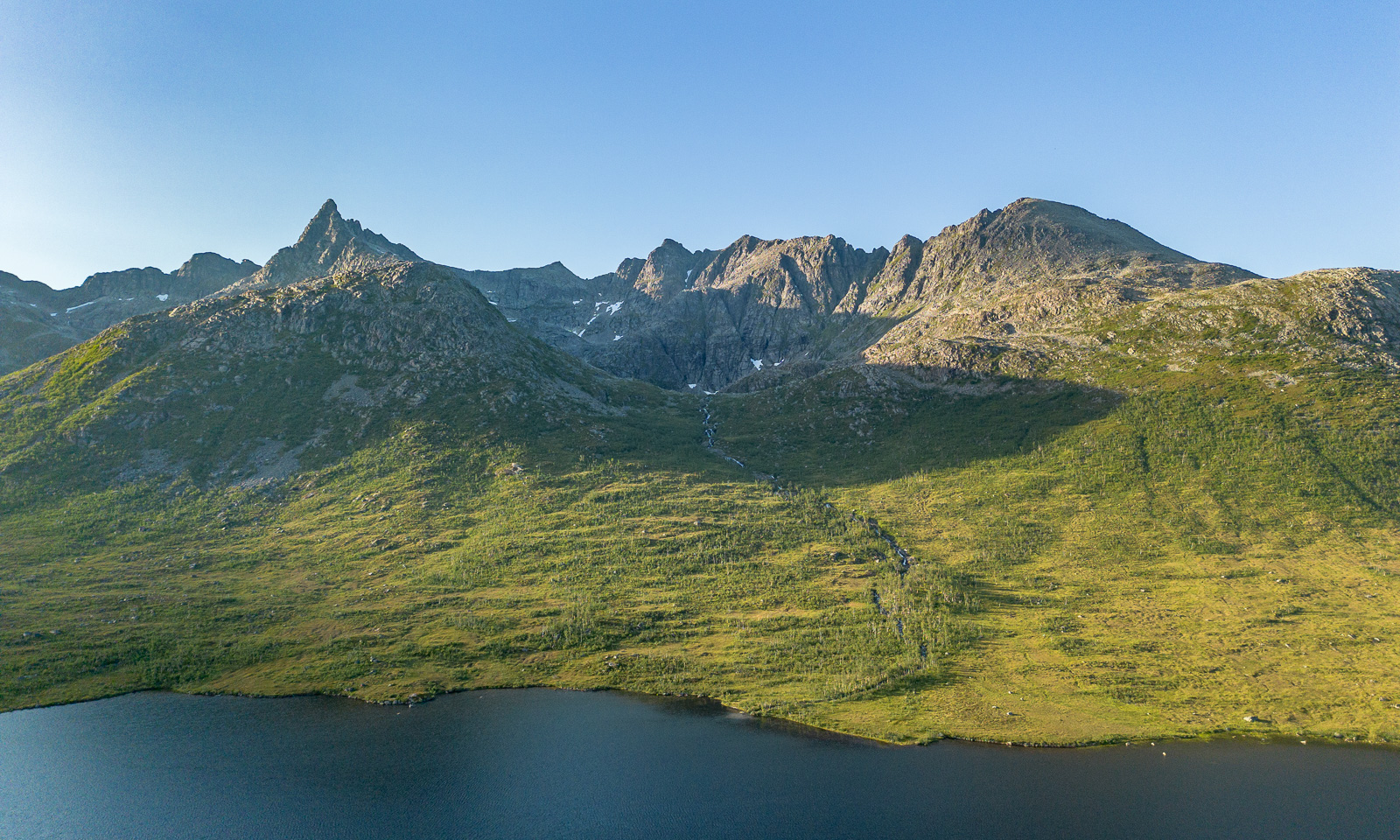
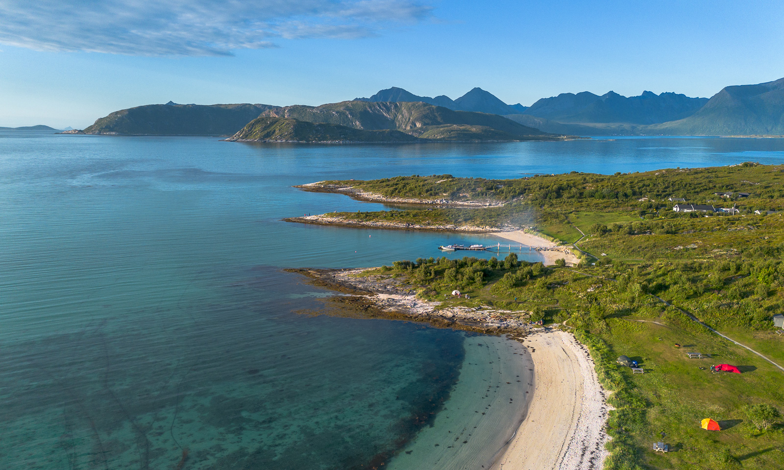
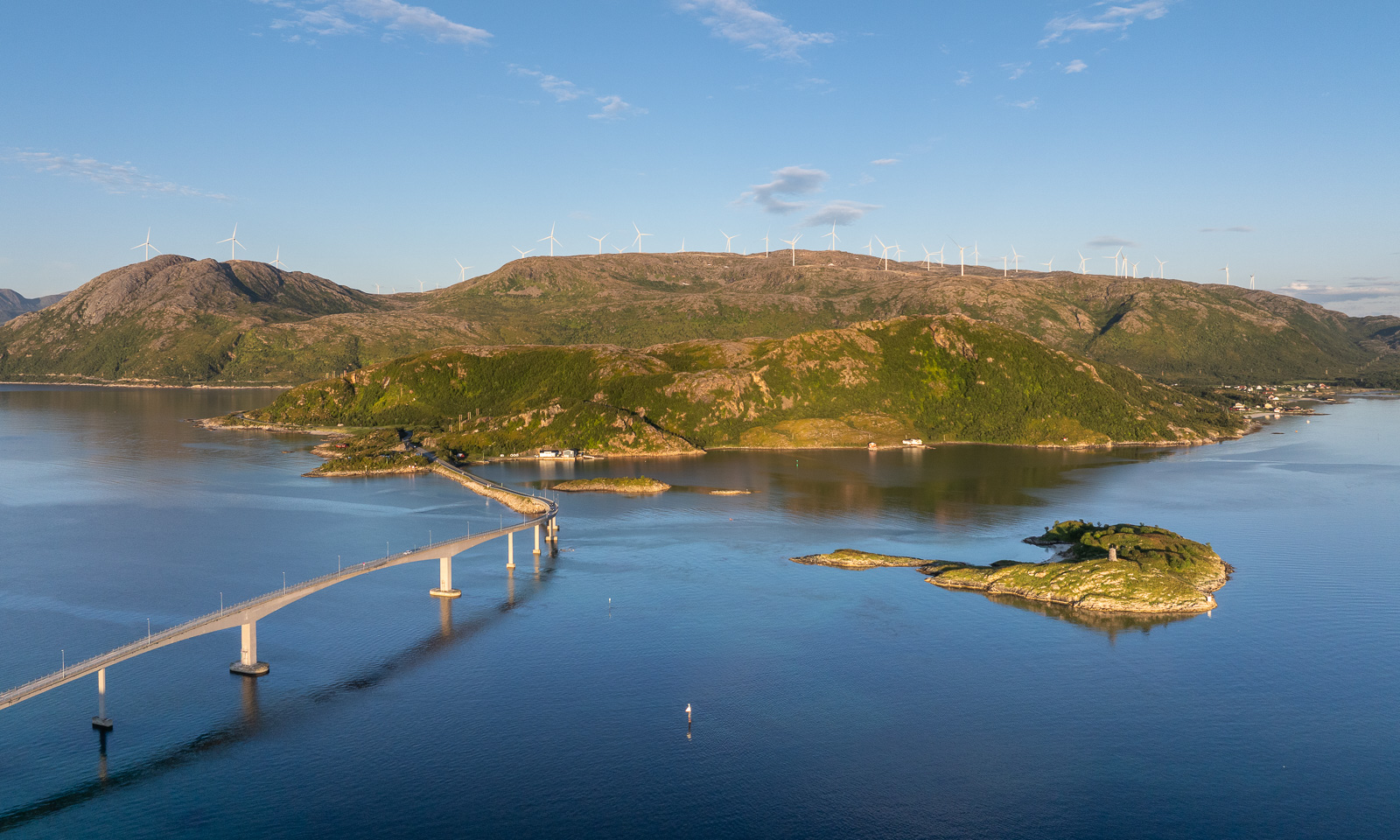
Last week I tested again, this time a newer drone belonging to the Norwegian Polar Institute and a better remote control for my own drone, which I bought second-hand a few days ago. I really like the institute’s DJI Mavic 3 Pro because it is larger, more stable, and has three cameras. But I’m pretty content with my own DJI Mini 3 Pro, especially now with the updated remote control. Under good light conditions they both make great photos. Here is one from Kattfjordeidet, Kvaløya, and the others are from Sommarøya. You can try to guess which drone took which photo. I couldn’t.

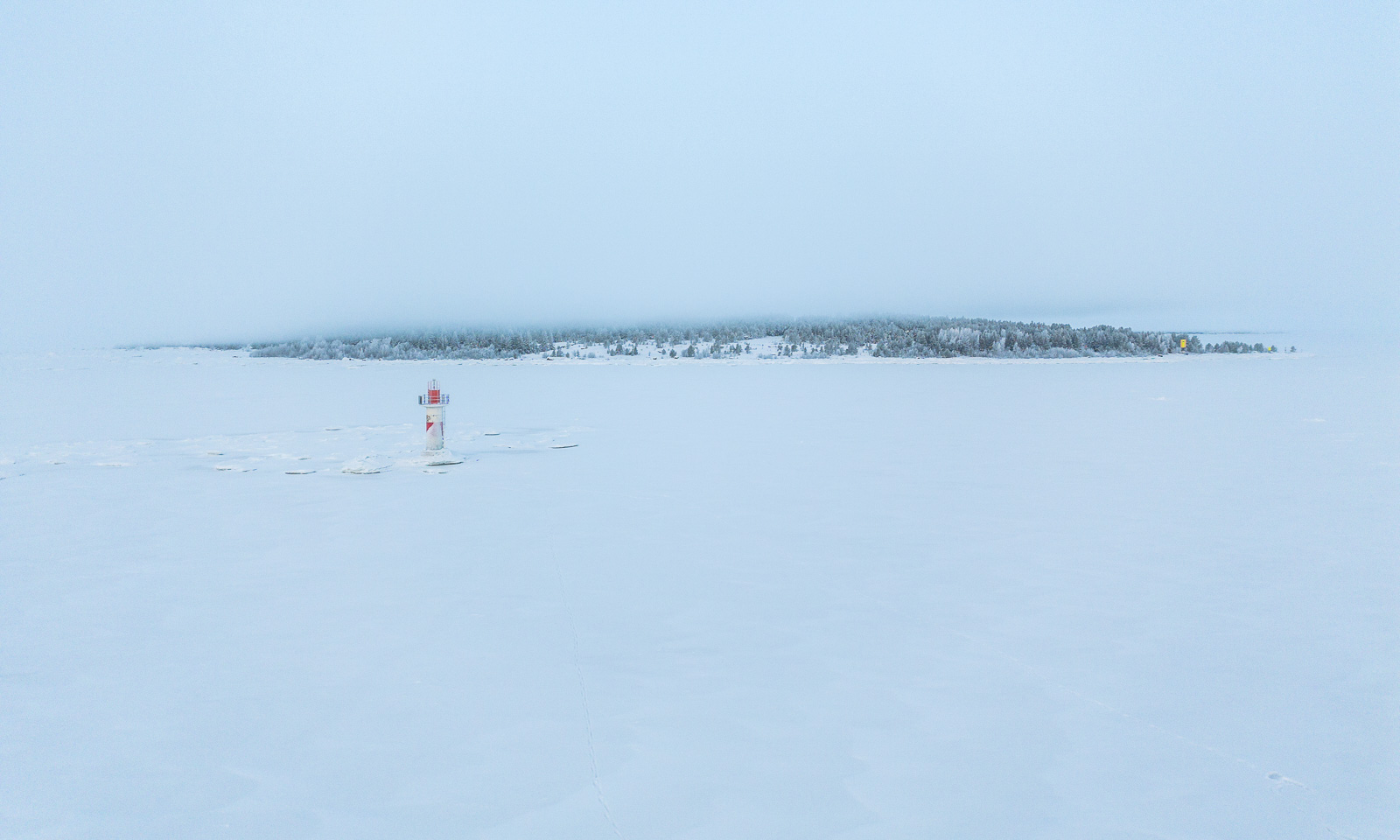
About half a year ago I had my drone with my as well, this time on the frozen Baltic Sea where I flew it several times. Publishing aerial photos taken in Sweden always takes a while, as you need to apply for publication permission for each photo. I have obtained permission to publish the following photo of the lighthouse Dynan and the island Bredskär. So, here it is:

If everything goes according to plan I will go on a three-week work cruise with the icebreaking vessel Kronprins Haakon between Svalbard and Greenland in October. Hopefully, we will have good conditions for ice stations. Then I’ll take orthophotos of and on the ice again.


Steindalsbreen 2026

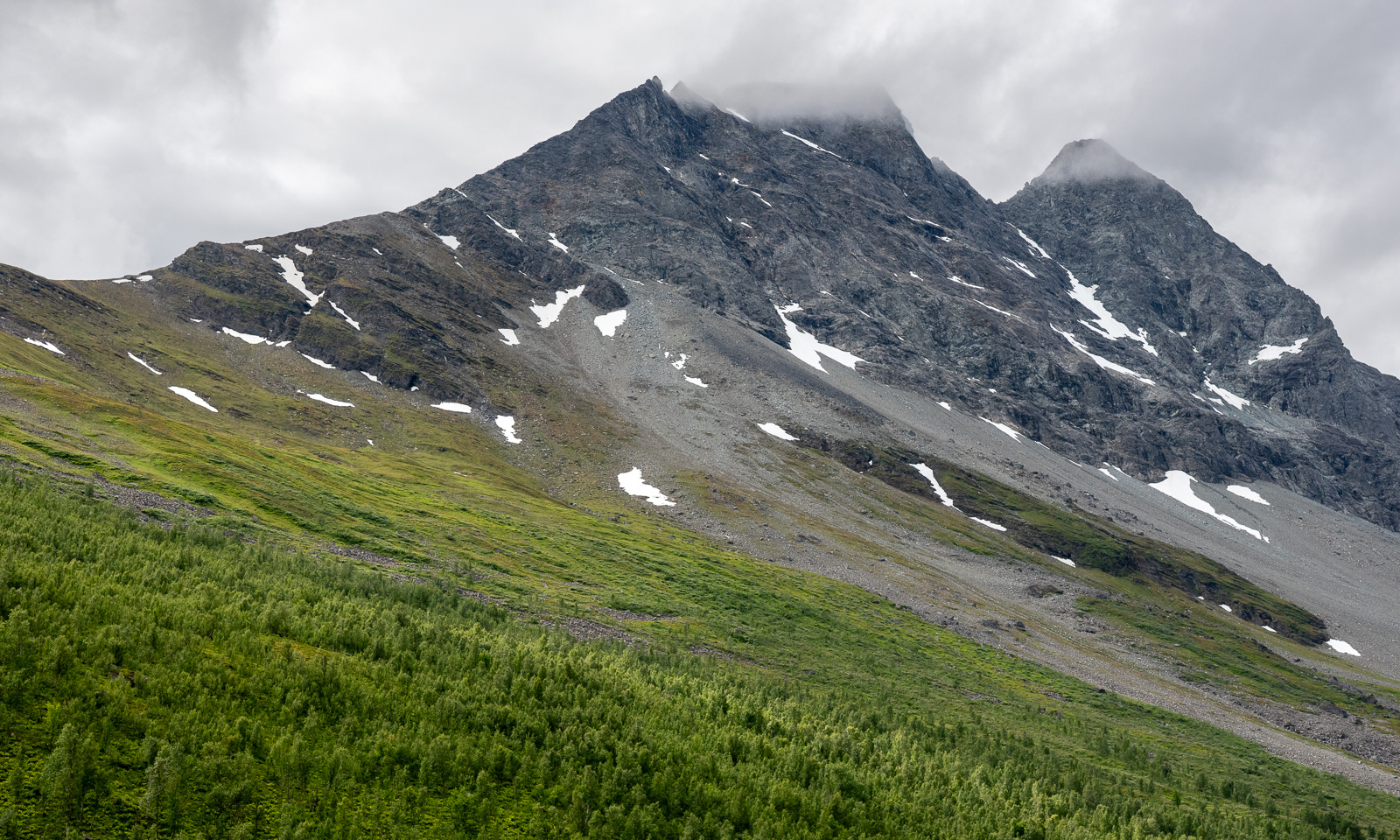
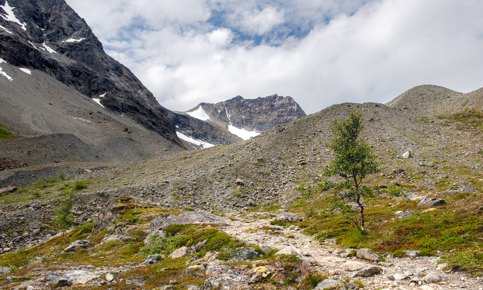
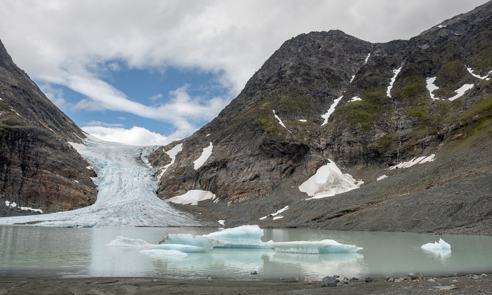
It has become a tradition for me to hike to the glacier Steindalsbreen on the Lyngen Peninsula once a year. I was there on 24 September 2023, on 28 September 2024, and on 14 September 2025. This year I’ll be away  most of September, so I hiked there already yesterday with my friend Christine.

We know the way – the ascending forest path by the river Gievdanjohka (Steindalselva) …

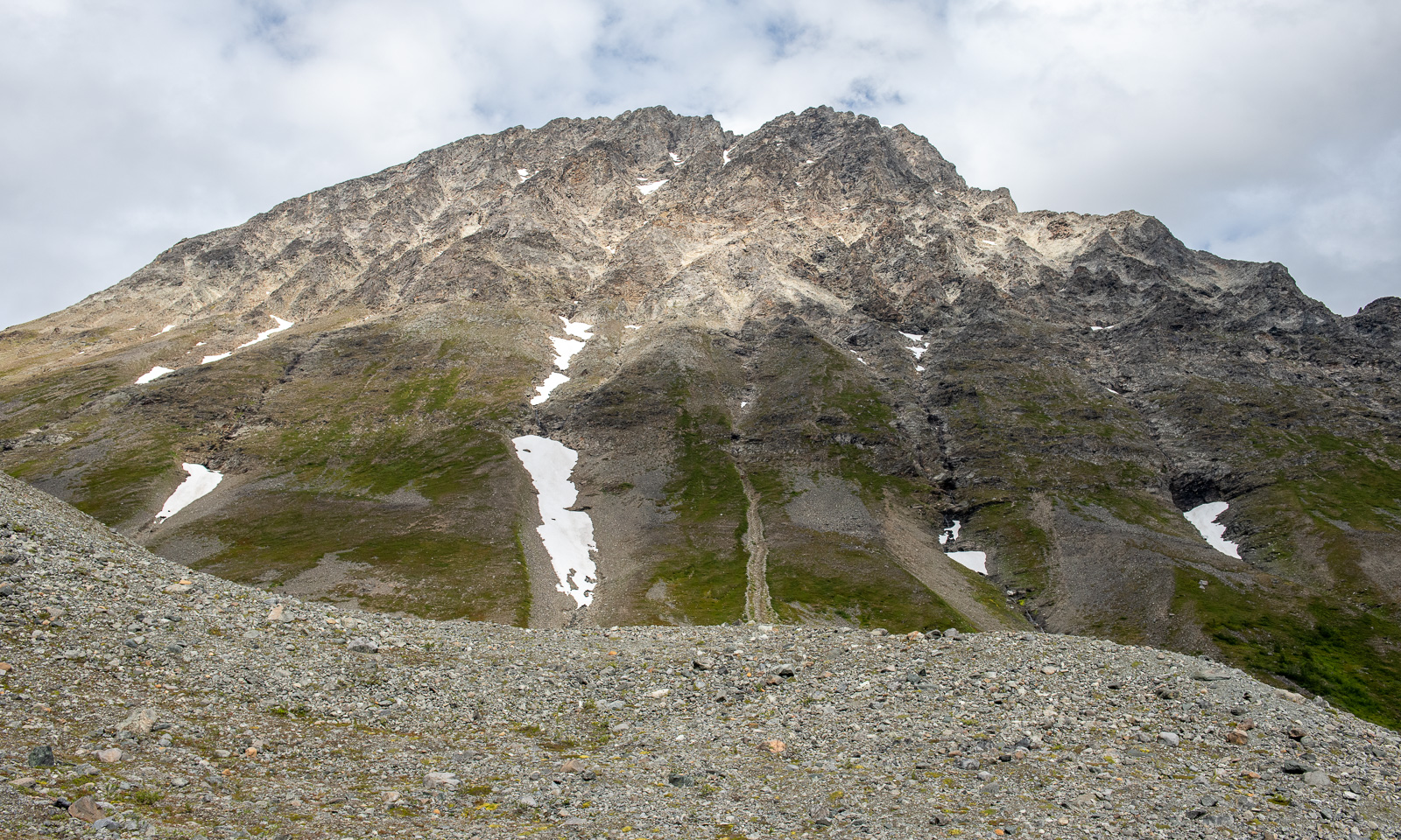
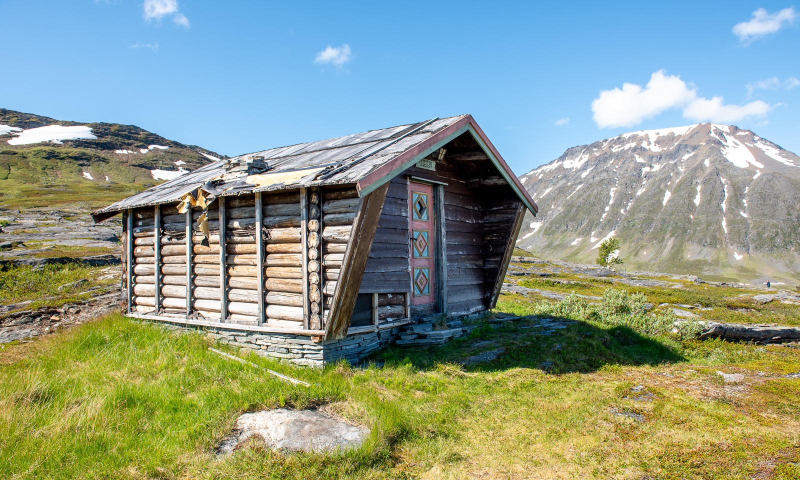
… the Steindalshytta cabin, where my wife Annika and I stayed overnight last year, the bridge over the river Doaresjohka (Tverrelva) and the small hilltop from which you can see the glacier for the first time. Then the U-shaped valley, broad and easy to walk before the ascent where the landscape looks high alpine between 1500-metre-high mountains.
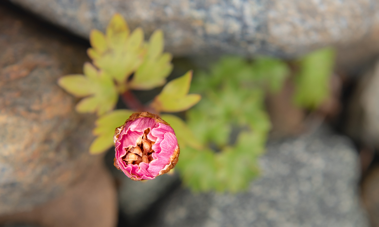
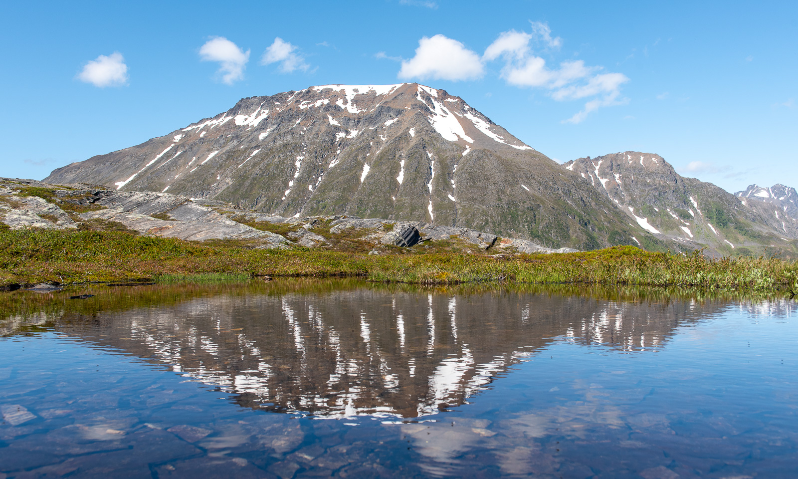
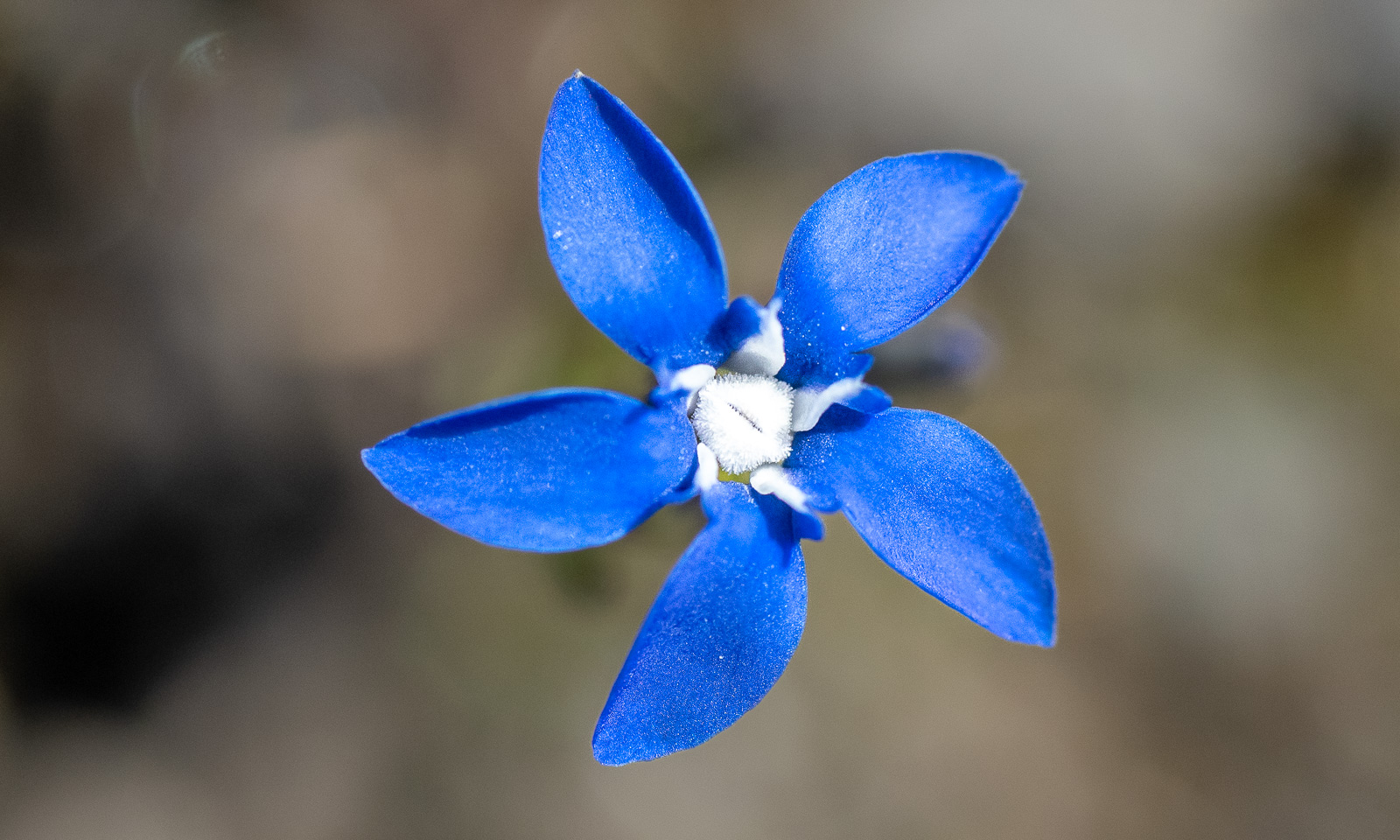
Now the landscape is dominated of rocks and the vegetation is sparse and low. Here a favourite flower of mine grows: Ranunculus glacialis – also known as glacier buttercup or glacier crowfoot.

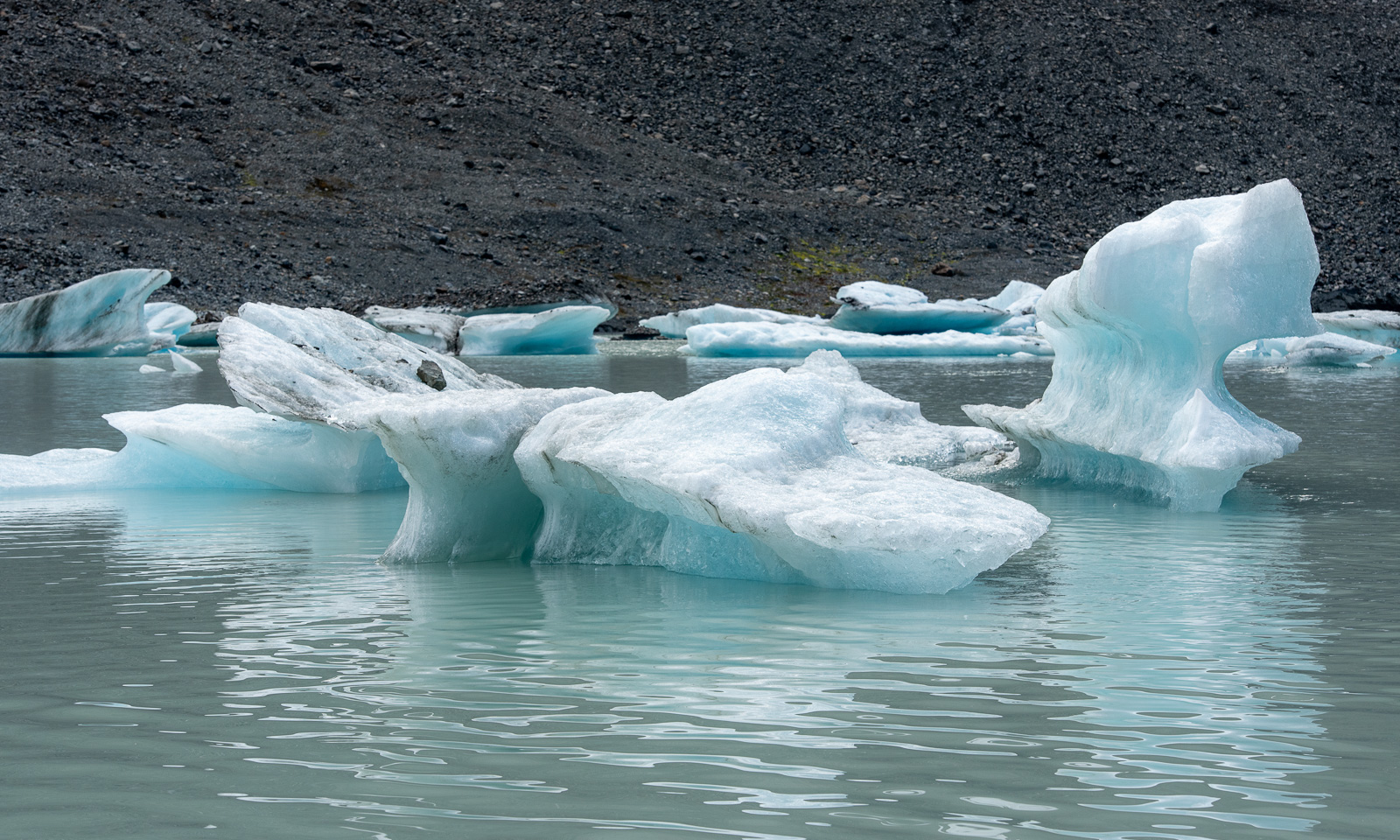
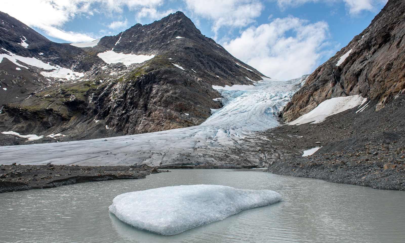
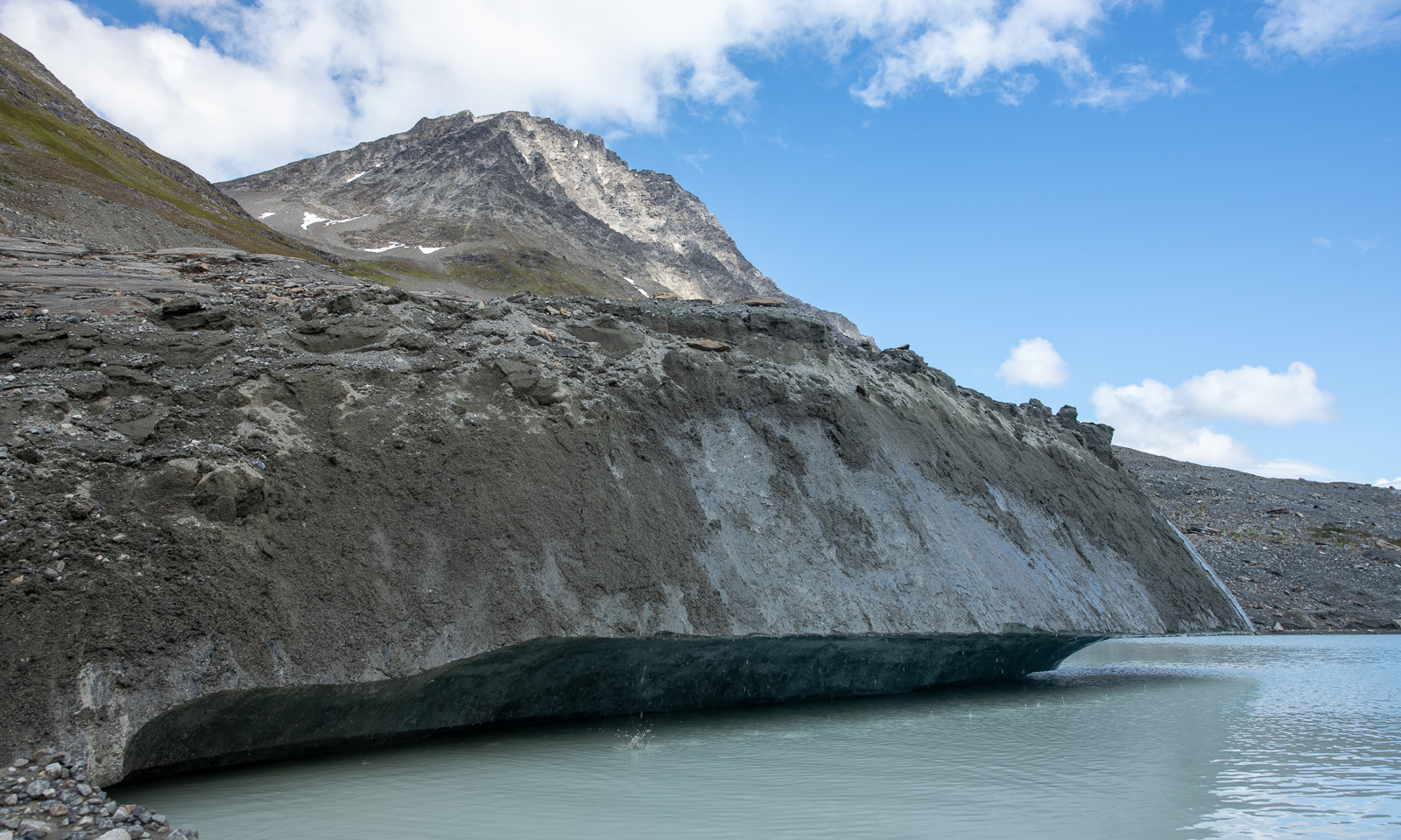
The landscape rises in several waves and then we can see the glacier lake. The water level looks higher than usual. I don’t know if it’s due to the wet summer or the time of the season. This time the lake has some small icebergs in it.

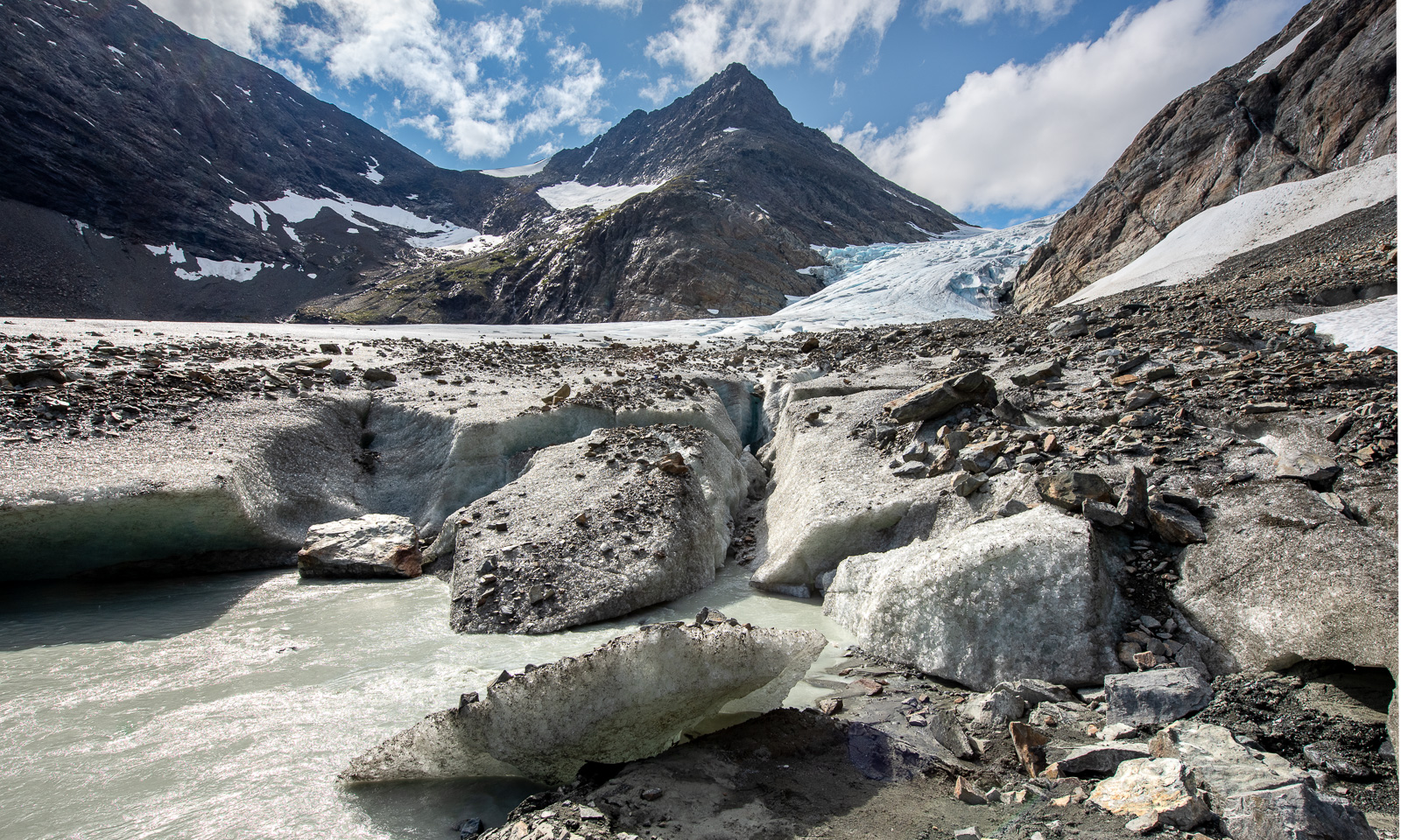
I’m not sure if it is possible to reach the glacier without taking an icy swim but it is surprisingly easy to follow the small path on the scree slopes. The other years it was possible to walk along the glacier front on banks of sand and mud. This year I am limited to the tiny reachable edge of the glacier. This makes the photography part much shorter this year.

The lake looks murky and so do some of the huge ice blocks by the lake. They are covered with rocks, pebbles, and clay and only the smooth side reveals that under the debris there is solid glacial ice.

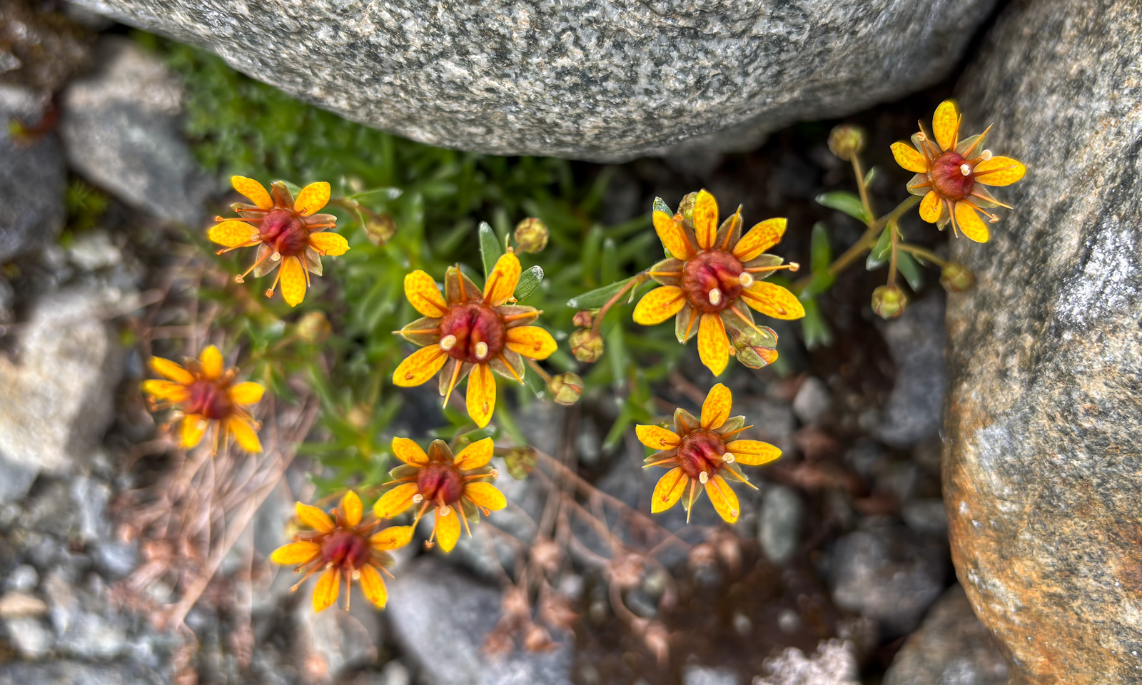
On our way back I hardly took any photos, just an snapshot of this flower with my mobile phone to look up what it is. According to my app “Flora Incognita”, it is Saxifraga aizoides – also known as yellow mountain saxifrage.

Thanks for the trip, Christine, and for driving all the way.


A summer overnight stay at Blåkollkoia cabin

The weather in Tromsø for the weekend didn’t look promising, but for Friday it did. I leave work just after lunch so that Annika and I can hike up to Blåkollkoia cabin together. At half past one I park the car in Tønsvik. From there, it is an 8 km walk up to the cabin. The first 2½ km we follow a gravel road that leads to some private cabins.
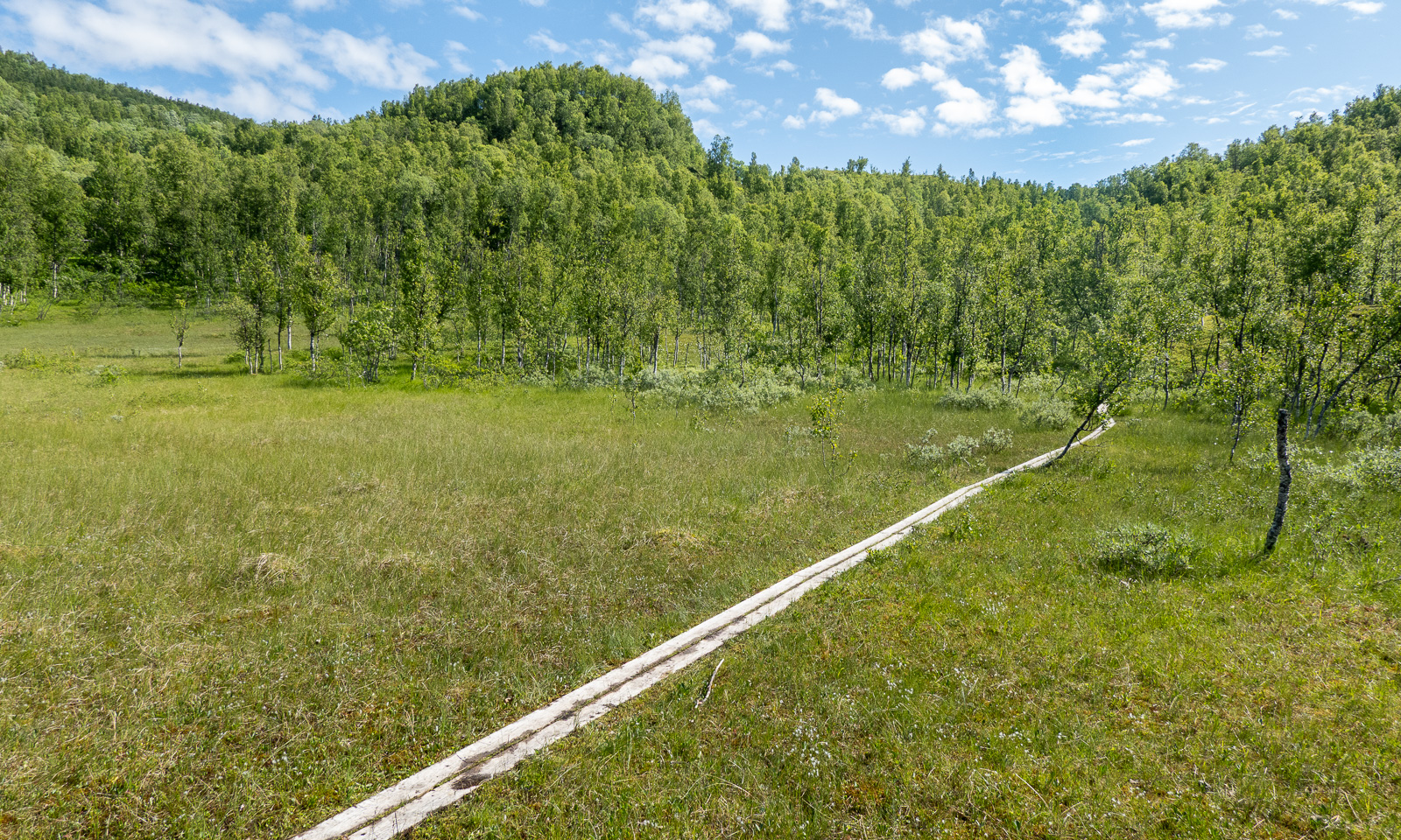
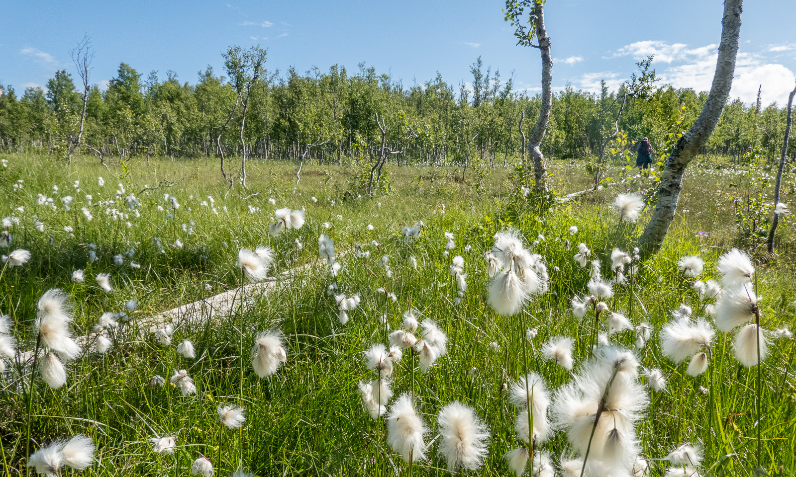
Then the road turns into a marked hiking trail. It leads through fern thickets and birch forests; it crosses grassy plateaus and bogs with cotton grass.
It is perfect hiking weather. The air is not too warm, but the sun is quite strong and we are glad about the occasional wind cooling us down. There are hardly any mosquitoes, but plenty of flies seem to fall in love with us and follow us everywhere.

Below the cabin we use the bridge to cross the river Goahtevuomieatnu/Tønsvikelva. We were here in August 2024 and took a bath; now the river carries a lot more water.

Then we arrive at the cabin. It is locked and we use the key provided by DNT (Den Norske Turistforening) to enter. We have booked two beds in Room 2.

I go outside several times to take photos, while the sun is slowly sinking lower and lower. It is still polar day in Tromsø, so the sun won’t set. I sleep a bit but after midnight I am out again enjoying the beautiful scenery that is illuminated by the low sun in warm colours.
The next morning the scenery is quite different. The sky is overcast, some mountains hang in the clouds and it has started drizzling a bit.
After a two-course breakfast (fried spaghetti and muesli), Annika and I pack our things, clean the cabin with the other guests and start our tour back to the parked car.

First it is just overcast, then it becomes foggy and in the end, when we are on the gravel road again, it starts to rain.

Luckily, a friend of ours lives nearby. Here we can change into dry clothes and we get hot soup and coffee. Thank you, C. for the food and good company! A perfect ending for a great hiking tour that took less than 24 hours.


After work visit of Kvaløya

A bit of hiking – a bit of dining – a bit of bathing – a bit of geocaching – a lot of sun.

All after a regular work day, together with Annika.

Skoganvarre—Tromsø – the last stage of our car trip

This article is part of the series “2026-06: Obbola—Finland—Tromsø”.

Part four of the journey from Obbola to Tromsø

It is Saturday morning. My wife Annika and I are having breakfast in the kitchen of the campsite Skoganvarre Villmark. It is raining and people passing outside are wearing pyjamas and carrying umbrellas or wearing raincoats and crocs. Campsite fashion. Skuvvanvárri (Northern Sámi) or Skoganvarre (Norwegian) is located in Norway, but most of the guests here are Finnish, and it seems to me that more or less all of them are here for fishing.

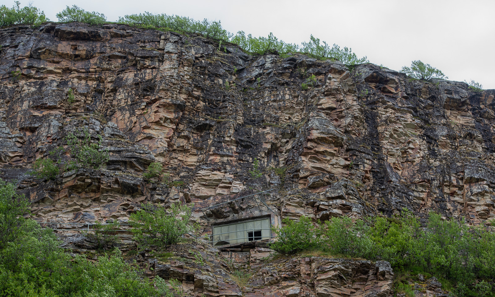
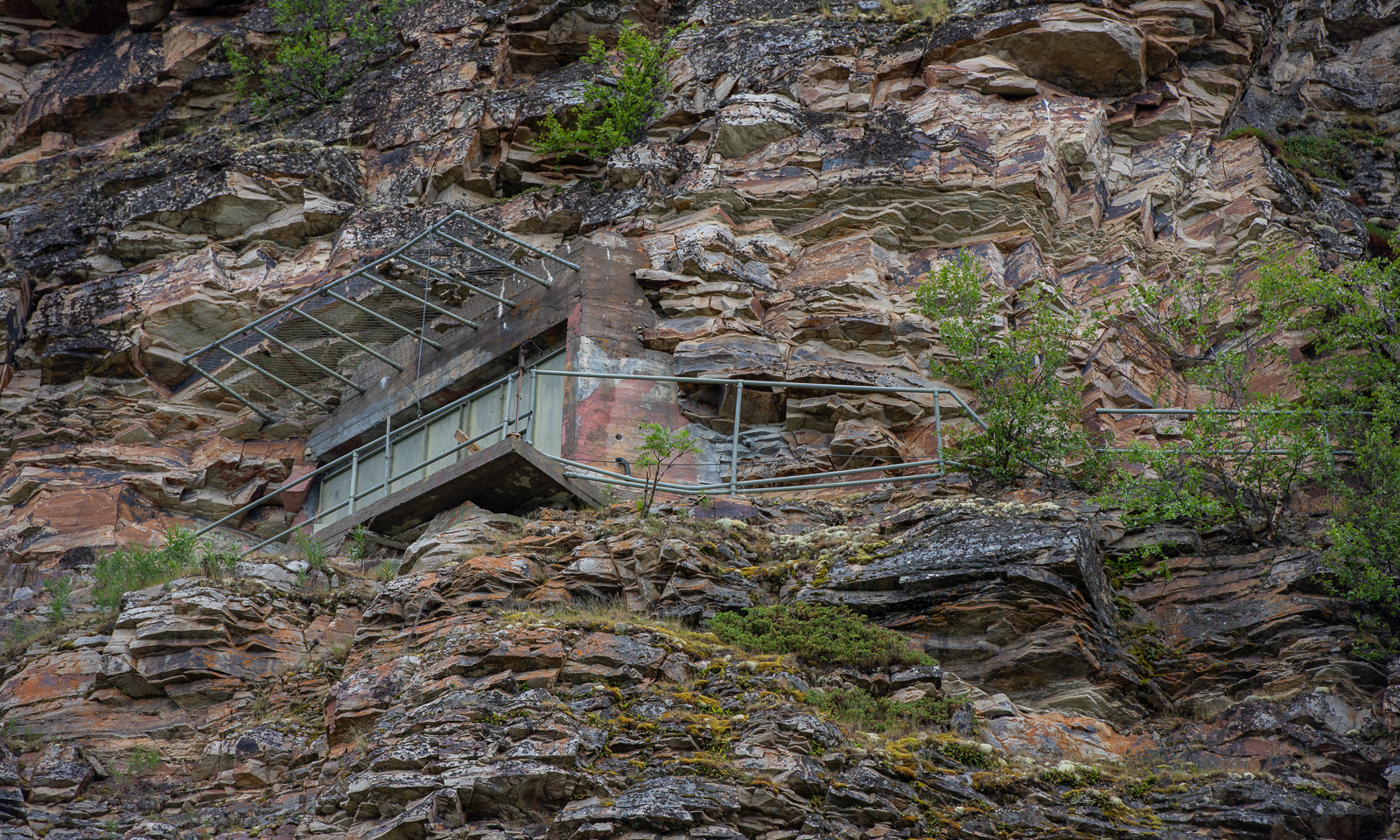
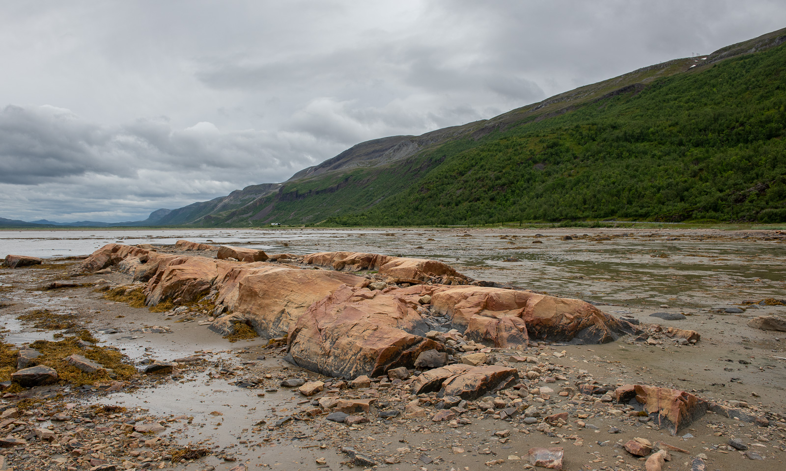
The grey weather follows us to Lakselv where we meet the sea again in the form of the southern end of the huge Porsangerfjorden, the fourth longest fjord in Norway. We passed the road leading north before, but it was the first time that I saw the fortification high in the mountain walls left of the road. It is part of Banak fort, started by the Germans in WWII and continued by the Norwegians and used until 1987.

On the other side of the road the scenery is completely different. Stabbursnes nature reserve is a large protected area dominated by wetlands.

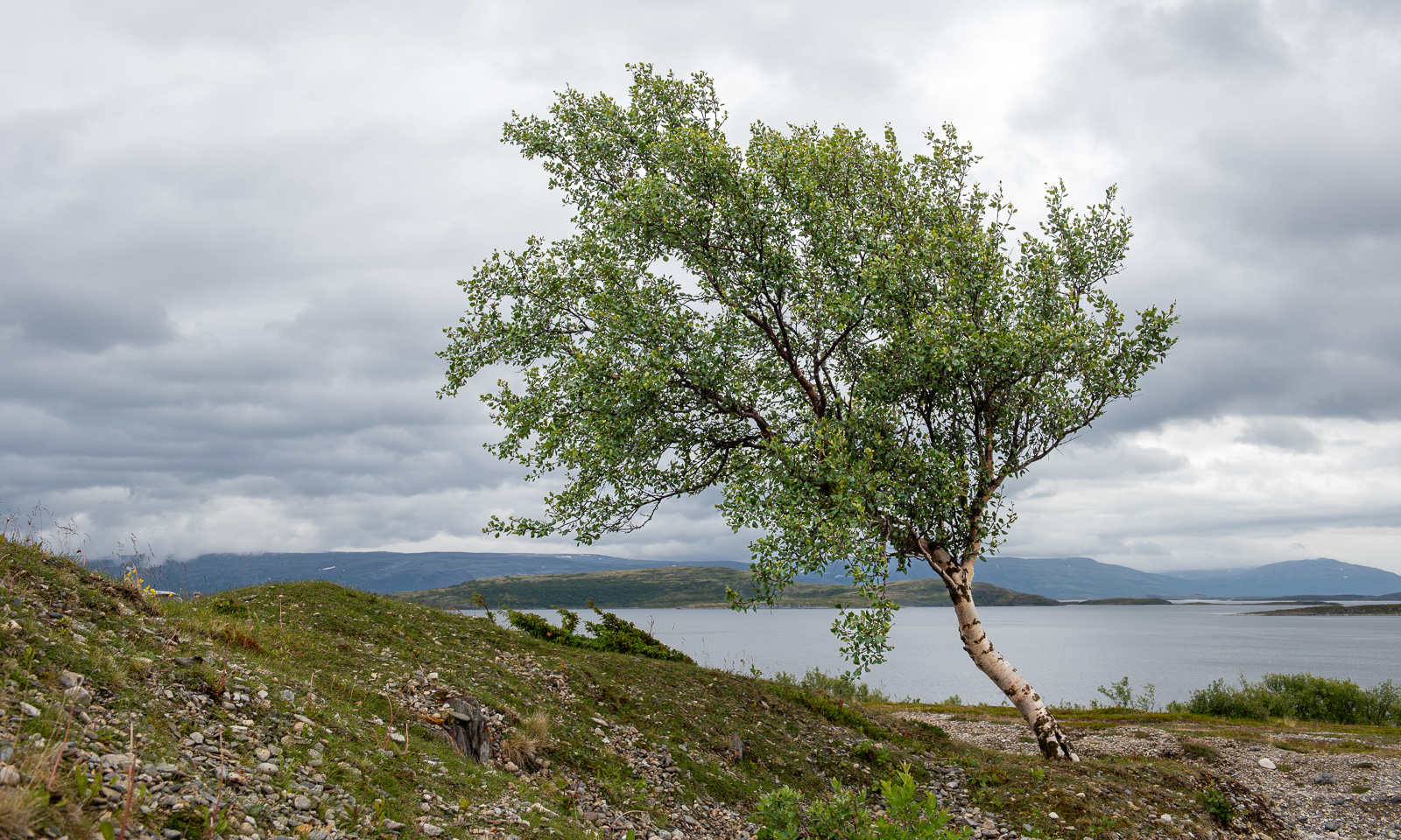
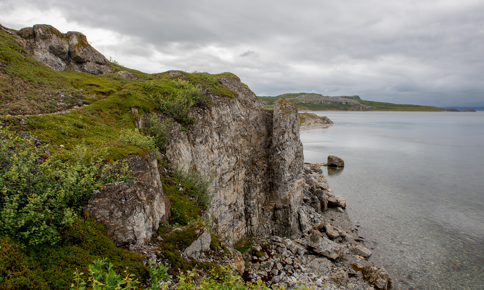
Annika started geocaching a while ago. Sometimes I join her in the search for I found a place to park the car, sometimes I focus more on looking for photo subjects, ideally I do both. At one of the geocache locations behind a gravelly area I first find this lonely birch and then surprisingly beautiful coastal cliffs, although it looked a bit dull in the grey weather.

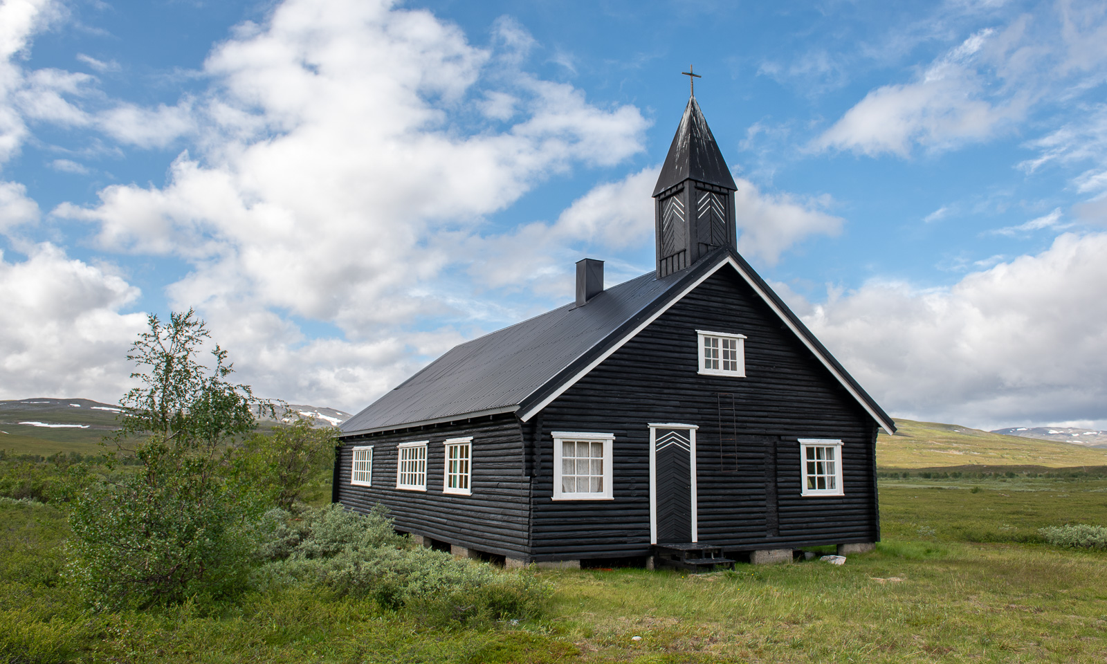
I hardly take any photos of one of my favourite landscapes on this stage of the journey – the plateau of  Sennalandet. I only stop for the Aisaroaivi kapell after the sky has cleared up a bit.

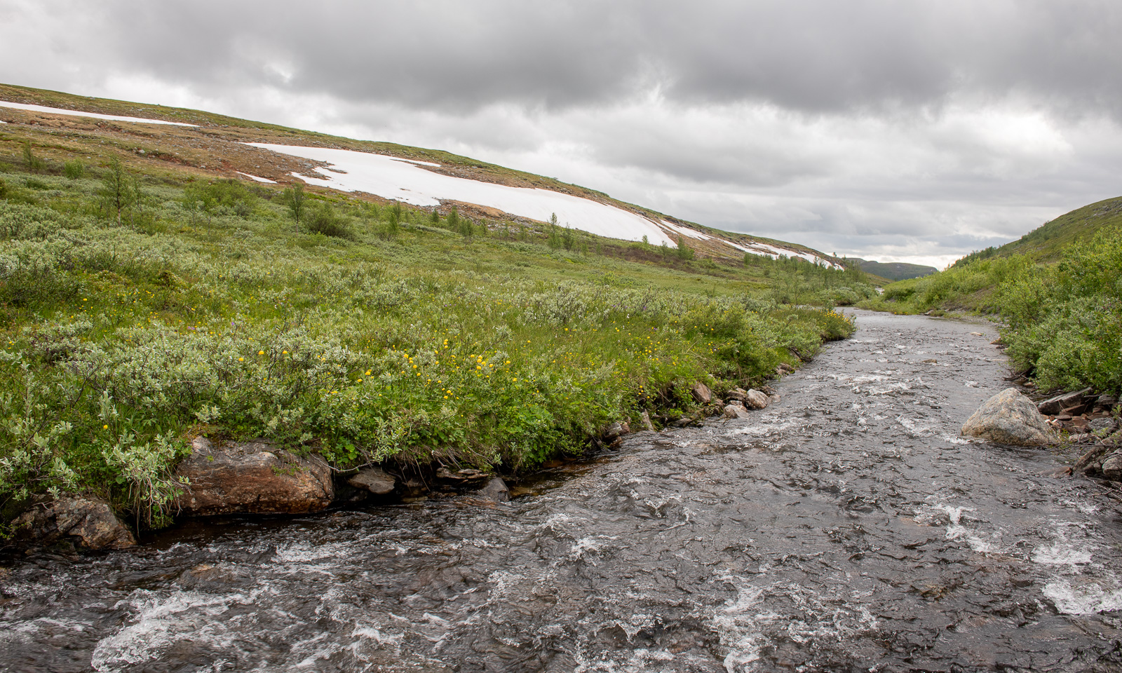
Some more photos from this day:

At 7 o’clock in the evening we arrive at our last overnight stay of this road trip near Sørstraumen. This time we used Airbnb and found a real gem, owned by Gunn, who is a fantastic host. Gunn rents out rooms in her private home and not only invites her guests to her kitchen for a chat but also provides huge amounts of waffles with jam. I can highly recommend her when you like meeting interesting people. We met two Germans who wanted to go north for fishing and a motorcyclist, who is driving all coastal roads of mainland Norway to collect money for ME-fondet, part of Norges Myalgisk Encefalopati forening. We are talking about 50,000 km – what a trip! This is his Facebook page: Around the Coast 2026.

A last photo of this day.

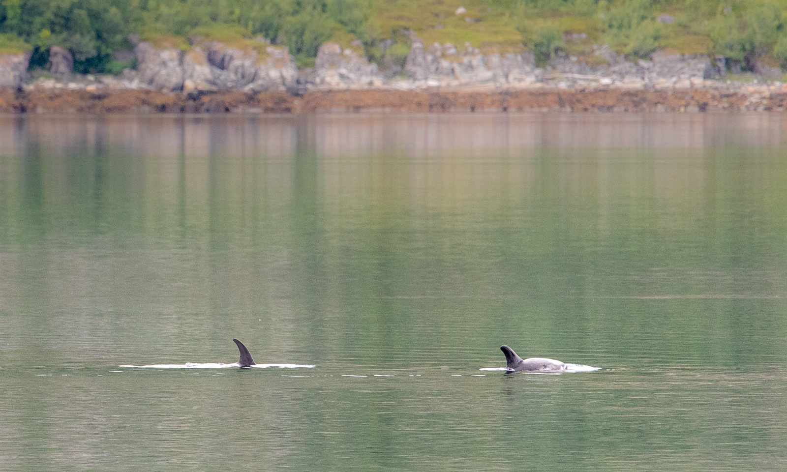
The next day at Gunn’s place began a bit like the evening before: a lively chat and waffles. One thing was different, though. Gunn already told us about whales she saw and showed some videos. While eating another waffle I looked at the fjord and saw movements on the surface. It was a school of white-beaked dolphins passing by the house. We observed them for a while, swimming, jumping, blowing and hunting. They were far away, so even with the big telephoto lens I only got images like this one:

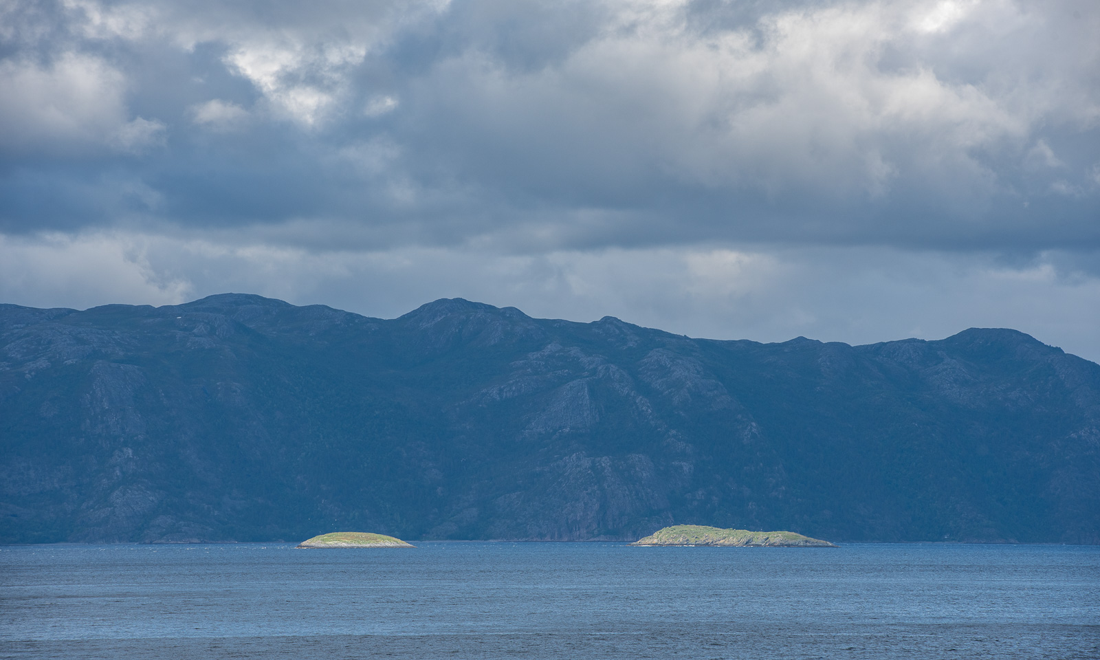
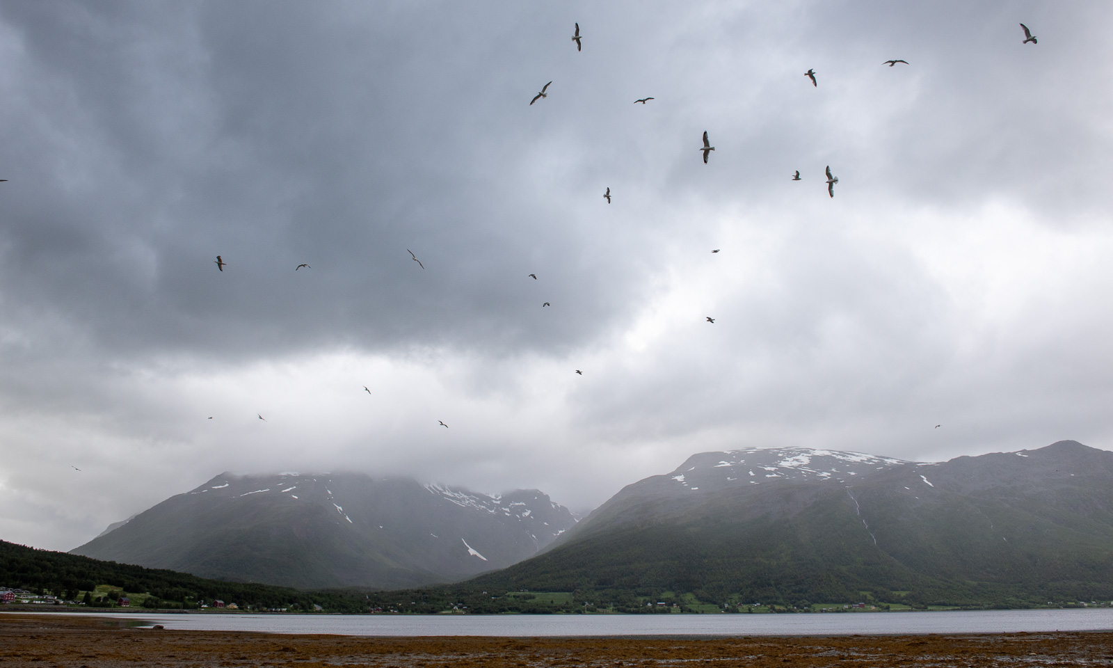
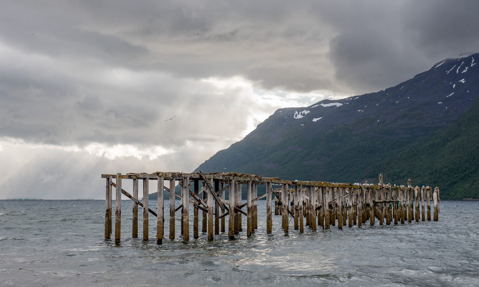
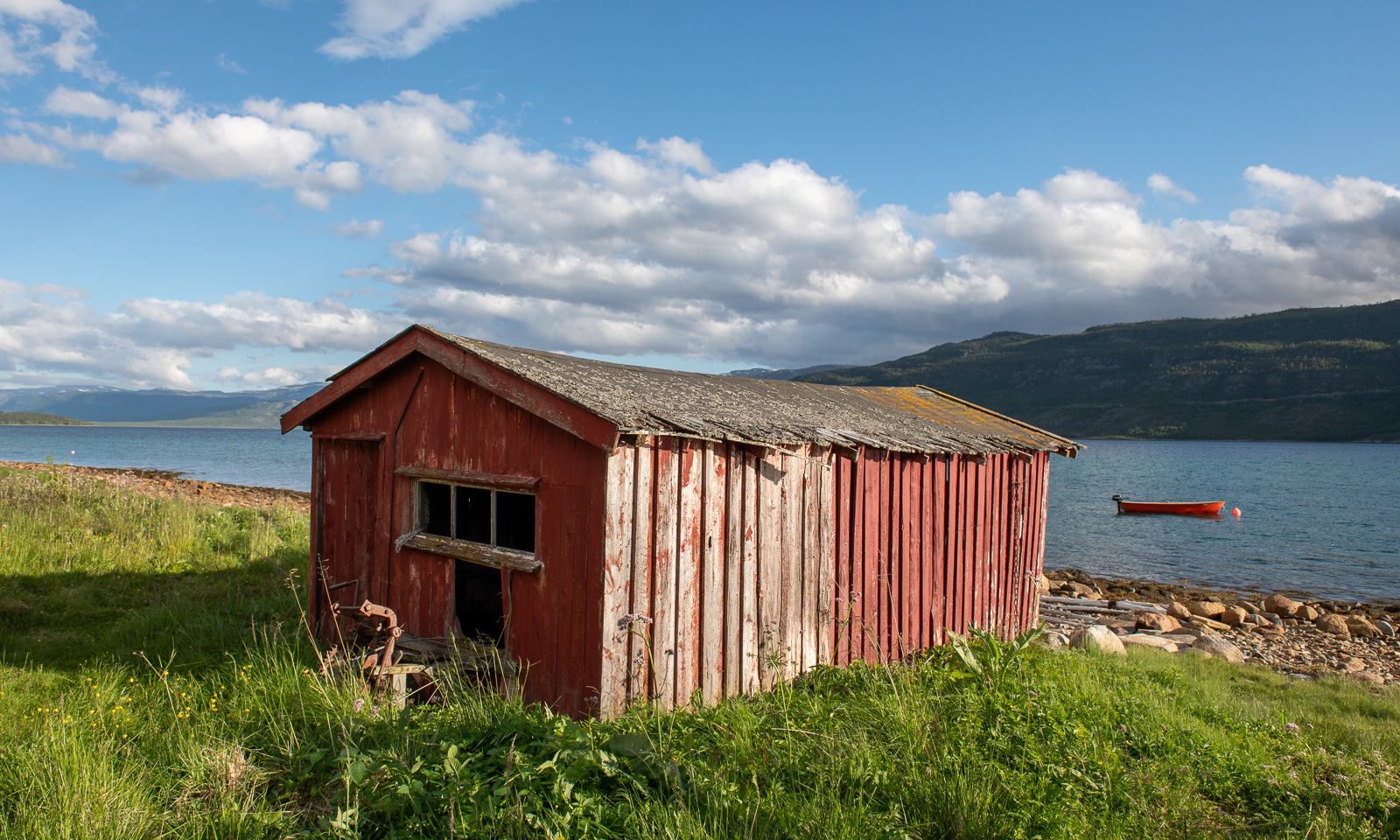
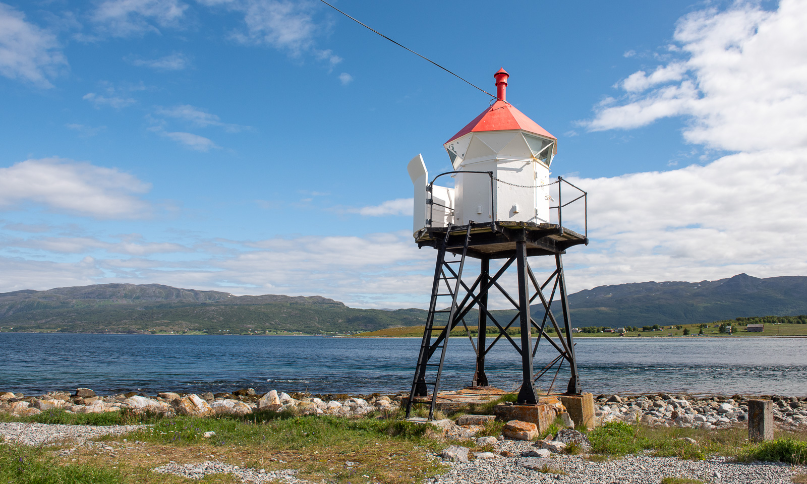
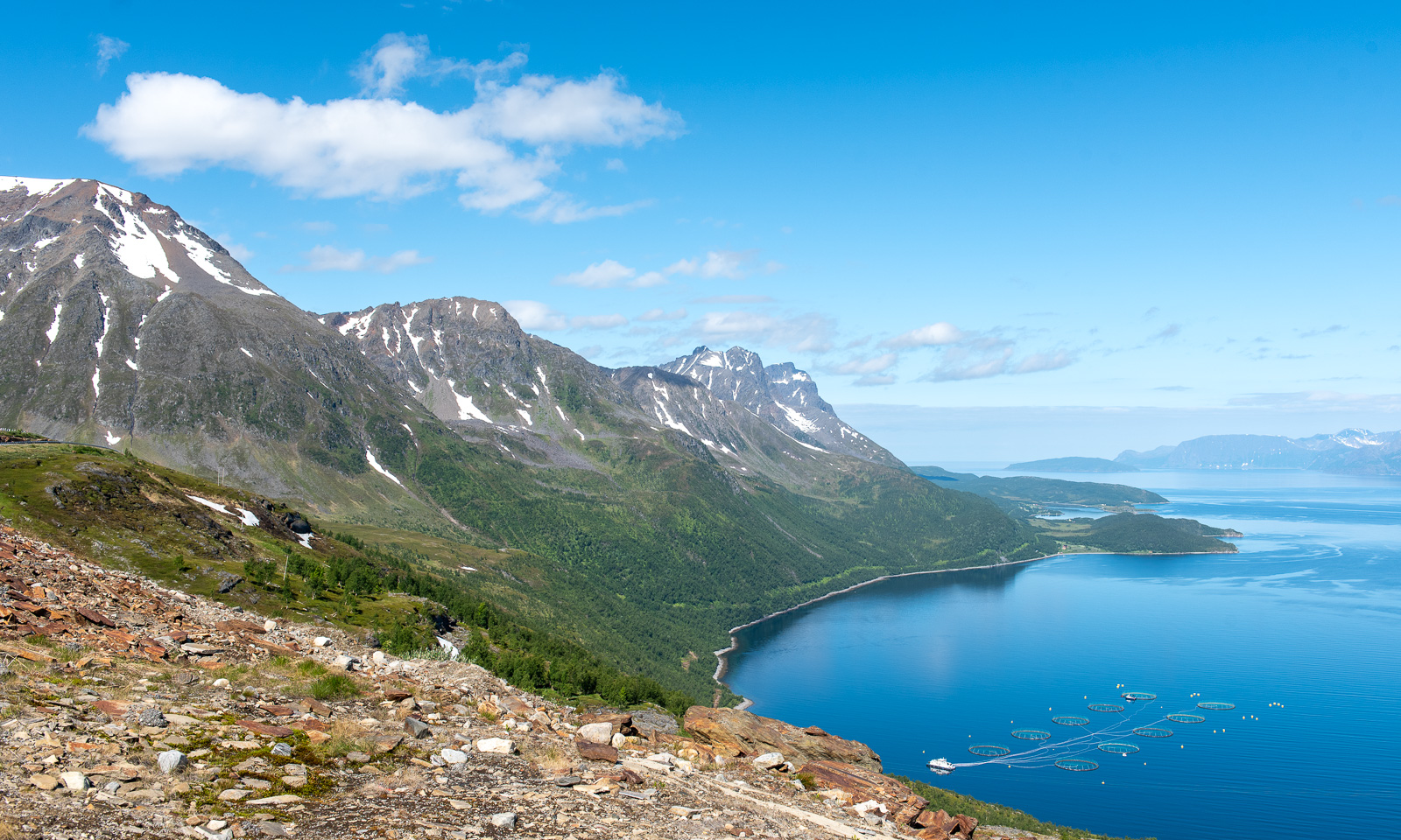
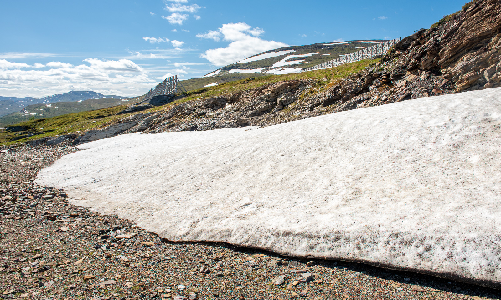
Later than usual, we left this wonderful place to drive the last stage to Tromsø. We could have made it in four hours but it took us seven and a half. The reasons: geocaches, photo stops, detours and an outdoor lunch break. Here are some photos.

Around 18:00 we arrive in Tromsø, my “work home”. I’ll be here for about four weeks and Annika will join me the first two weeks.