The first frost – hiking tour on the Laukviktinden
Today was the second day, where my car was covered with ice in the morning. I had to scrape ice after breakfast because I wanted to drive to Kvaløyvågen on the island Kvaløya to hike up the Laukviktinden (587 m) today. The weather was calm and the sky was blue and I enjoyed the views on sea and mountains from the car.
When I passed the shallow bay Finnvika I just had to stop and go there. Large areas were covered with a thin layer of ice that sparkled in the sun. Autumn in Tromsø is a fast season. Last weekend the trees were colourful, now many of them are bare.


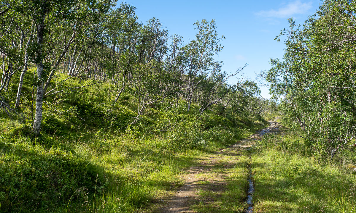
20 km later: I just parked my car by the sea and read the tour description. I should follow the road for 80 metres, take the gravel road to the left and leave it when it turns left. The rest of the tour would be pathless but according to the book easy to find.
When I left the gravel road the terrain was a bit tricky. It was more or less overgrown boulders with hidden holes. The trees had shed their leaves and almost looked dead. I was glad when I had reached the mountain ridge where it was much easier to walk. The wet moss was covered with frost and so were the water puddles. Laukviktinden came into view, but I knew that there would be an acsent before. It looked pretty steep. Hopefully it’s just the perspective.


And indeed it was less steep than expected. A bit tricky however because some parts were wet and slippery. And that one of the countless moss pads hid a knee deep water puddle was not nice ;-) ! It is always a satisfying experience when you gain altitude, are above the tree line and can see more and more – both fjords and mountains.


Just straight ahead I spotted the lake Laukvikvatna and its neighbours. They lie 50 metres below. So I first had to climb down before hiking up again. Most of the lakes were covered with a thin layer of ice.


From the lake it is only 200 more metres in altitude to the top – according to the tour book. That meant that most of the the ascent lied behind me. It was easy to go up, only the very last part was a steep boulder field. Probably not the best routeI chose, but that was hard to see from below.


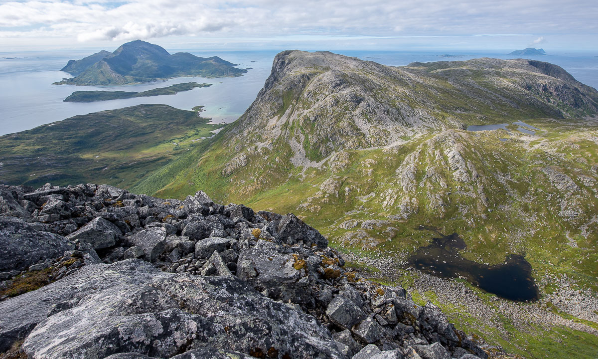
The terrain flattened out and then – all of the sudden – I could see the summit marker: A huge pile of stones with a metal box containing the summit book. And behind that: The open sea with the island Vengsøya.

What do you do on mountain summits beside of adding your name to the summit book? Yes – you take a selfie! After that I went a bit further to a place where the terrain drops off steeply. Here the view was really impressive because I could not only see the open sea and its islands but the bay Laukvika and even the boggy marshland that looked like it was directly under my feet. Here I took my iPhone as camera because it has a wide angle lens.


I took a break, ate some cookies and drank water. I even met another hiker that probably hiked up twice as fast as me. Then I started my way back. I found a better way because it is so much easier to find a good path when you look from above. Later my optimism was dampened when I landed in quite steep terrain and had to traverse it a bit until I was on my old trail.
Round 9½ km later I reached the gravel road again. In the shadow the ground was still frozen, but the car that waited in the sun was warm.