Skiing from Syter Fjällstuga to Umasjö
This article is part of the series “2019-03: Ski tour Vindelfjällen”.
Wednesday, 6 March
Today we will have the longest distance of our ski tour: round 22 km from the Syter Mountain Cabin to Umasjö. We get up at 5:45 and start our tour at 7:30 to have enough time before sunset.
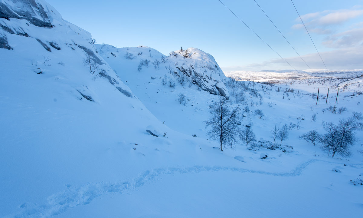
G., the stugvärd recommended to go on the small river Voehpejoeke or Svärfarbäcken, it would be easier to ski. We however do not dare and follow the marked winter trail. That turns out to be a quite bad idea. The trail seems to connect all existing hilltops around. The hilltops are exposed to the wind so that they are free of snow. There is vegetation, rocks and a lot of bare ice where neither the skis nor the poles get any hold. We barely make any progress and our frustration grows. After a while we decide to follow G.’s advice and ski down to the winding river.
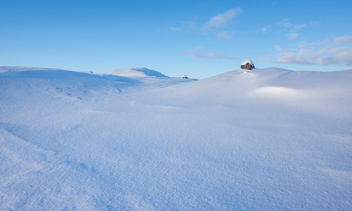
You have to know, that there is ice and water under your feet for all we can see is snow, a bit of vegetation and some rocks. We feel safe and we are at least three times faster than before. After some time we come to a wide plain where I make the first tour photo of the day.

The morning had been cold again with temperatures below -20 °C, but it quickly became warmer and clouds have approached, covering the mountain peaks. Despite to the forecasts it is windy and the drifting snow makes the view hazy.


After 5 km we pass a Sámi dwelling, marked in the map as a black triangle.

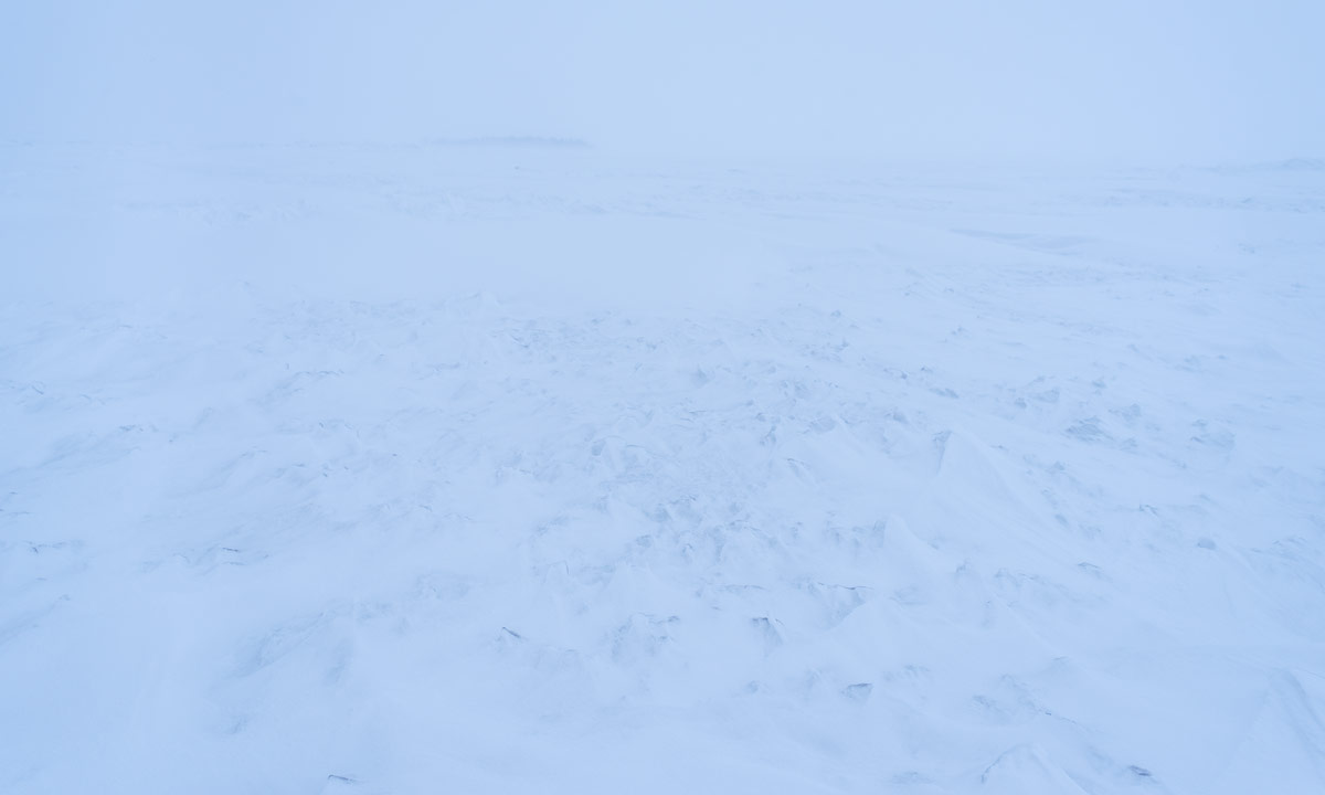
Then we approach a narrow passage and the frontal wind increases. First I think it is snowing but it’s just the snow driven by the wind. We avoid making smaller breaks because there is no shelter in the valley and we would have to put on down jackets to avoid hypothermia.


The way is long but navigation is easy. We just have to follow the red crosses. Visibility is not the best but still we can see at least the next three or four crosses. After the valley we have to ascent a pass but the ascent is so slow that we hardly realise, that it’s already the pass. I check our position with the GPS but take the wrong number. I know that it has to be wrong but we continue anyway. What shall happen: we are on the trail and it feels like we are in time. It was only the first stage that slowed us down.
Even though the way is long it is a great tour. Snowmobiles are prohibited and we ski through the untouched snow landscape, completely alone. I do not take many pictures because I don’t want to loose too much time.
It’s still windy. When Annika goes ahead parts of her ski tracks are snow covered after already half a minute. At least it’s not cold, probably between -5 °C and -10 °C.


I check the GPS again, this time more properly. We have come further than expected and are faster than thought. Sometimes we stop to drink a bit and eat chocolate (mostly me) but we try to minimise the breaks.
We are on a plateau now, where the wind is calmer and it’s easy to ski. But we know that we have to descend 300 – 400 metres. And soon we have to ski downhills which is not our most outstanding skill. At least the slopes are wide and there are no trees around.
The trees appear a bit later but still it’s easy to ski. And then we finally meet the first snowmobile trail. It is descending through the forest but it’s so wide that it’s easy to ski down, either directly on the tracks or on the sides through untouched snow. Then we come to the “snowmobile main road”. The signpost says, that 17 km lie behind us and 5 other km to go.


This part is both boring and tiring. The track goes up and down which doesn’t matter for snowmobile drivers but for us. We curse every hill we have to ski up.

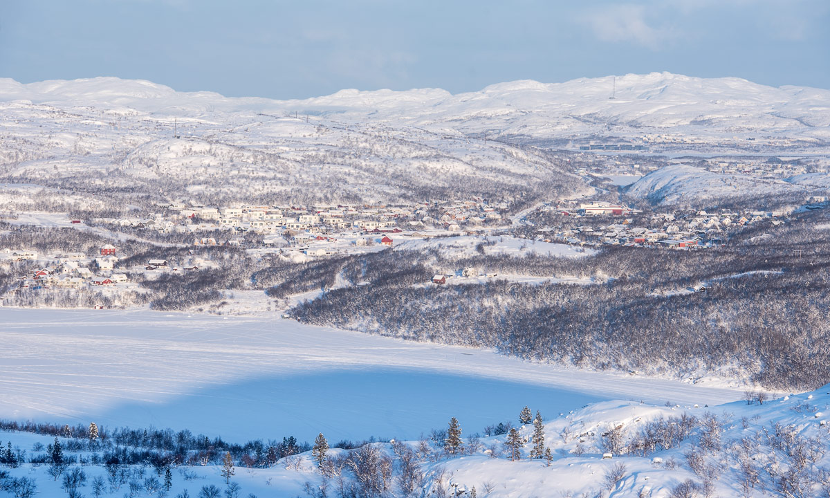
But finally we reach our final destination of today’s ski tour. The road E12 in Umasjö.


Our four-day ski tour is over but neither the journey nor the day.
Annika’s colleague F. is staying on her mountain cottage in Umasjö. It is she who comes shortly after our arrival and gives us a lift to Hemavan, where I parked my car three days ago. We buy some food and drink (rich in calories!) and drive back to Umasjö where we meet F. again in her cottage together with her family. We sit in the living room and report from our ski tour. After that we continue our journey to Norway, where we visit friends of Annika in Mo I Rana. The road conditions are not the best and I’m tired but luckily it’s only a one-hour drive from Umasjö.
That has been a long day and an exhausting one as well, but – more important – a great one. Now I’m looking forward to the next ski tour together with Annika.