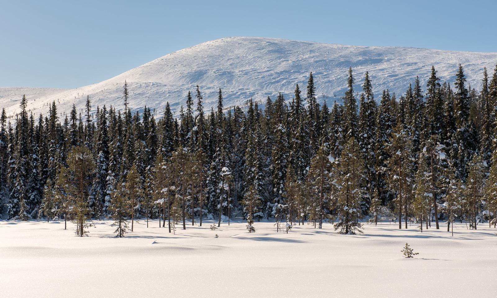
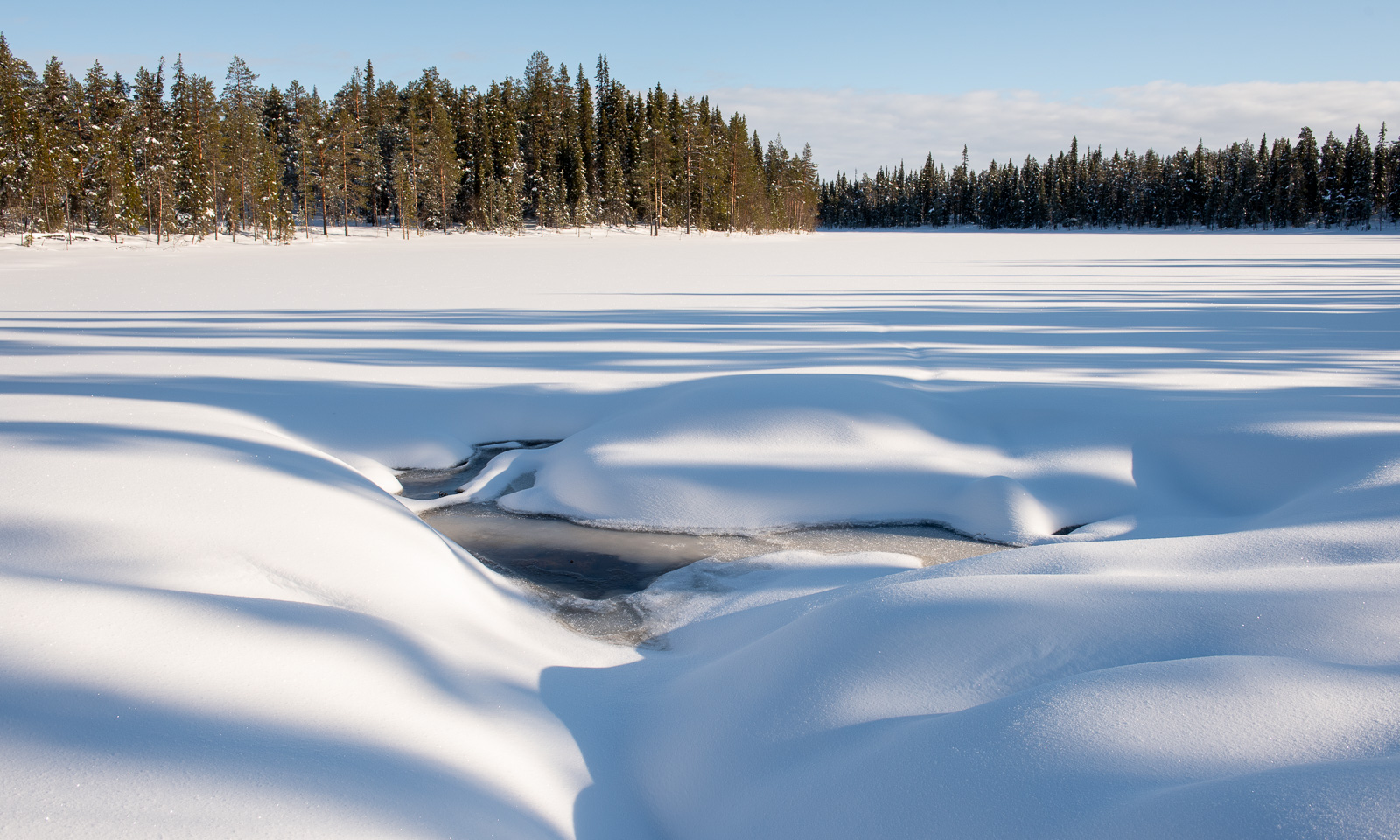
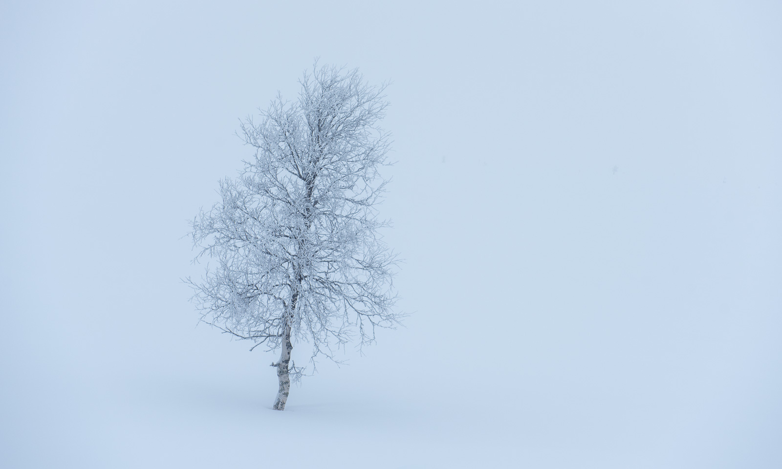
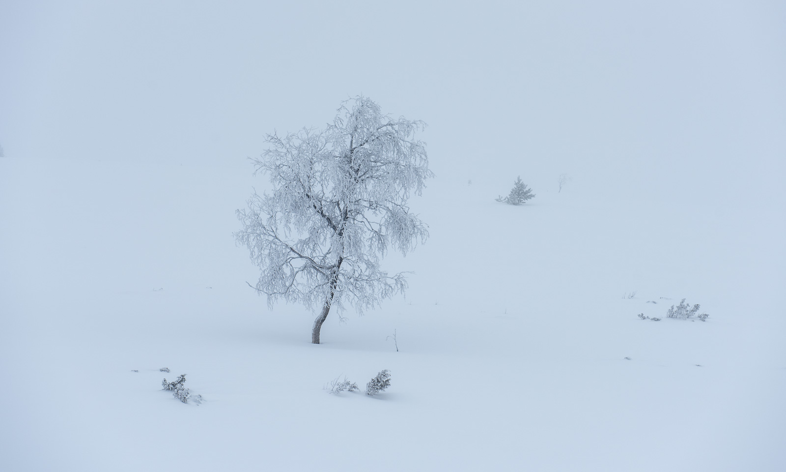
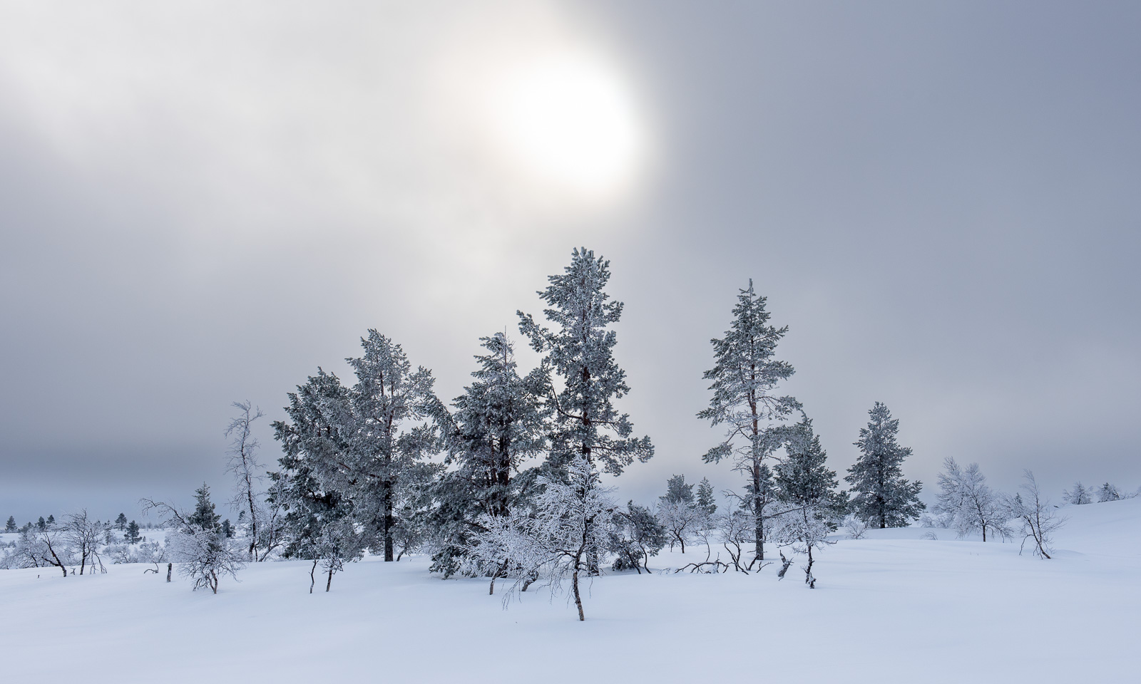
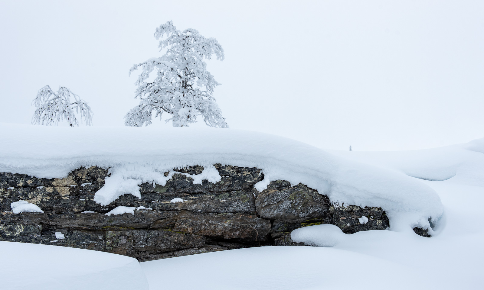
Ski tour in the Pallas-Yllästunturi National Park – day one

This article is part of the series “2026-03: Ski tours”.

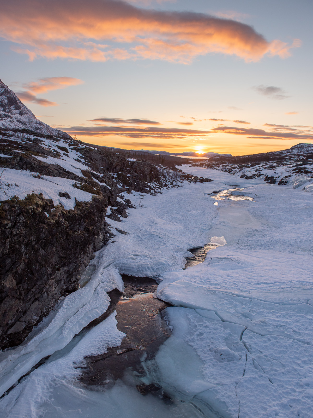
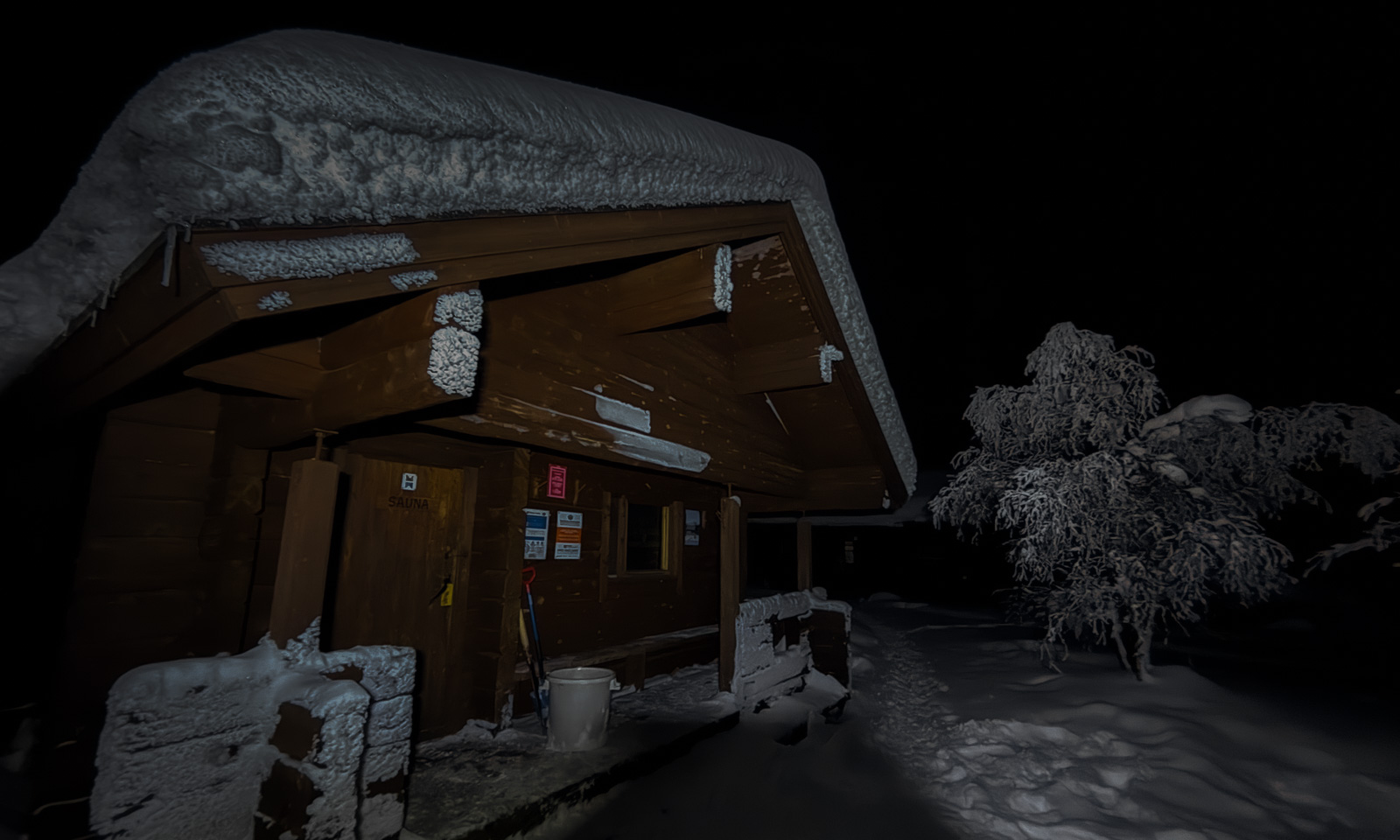
08:50 – everything is packed for starting our ski tour through the Pallas-Yllästunturi National Park. My wife Annika wears a backpack, I’m dragging a pulka. Today’s destination is the hut Sioskuru.

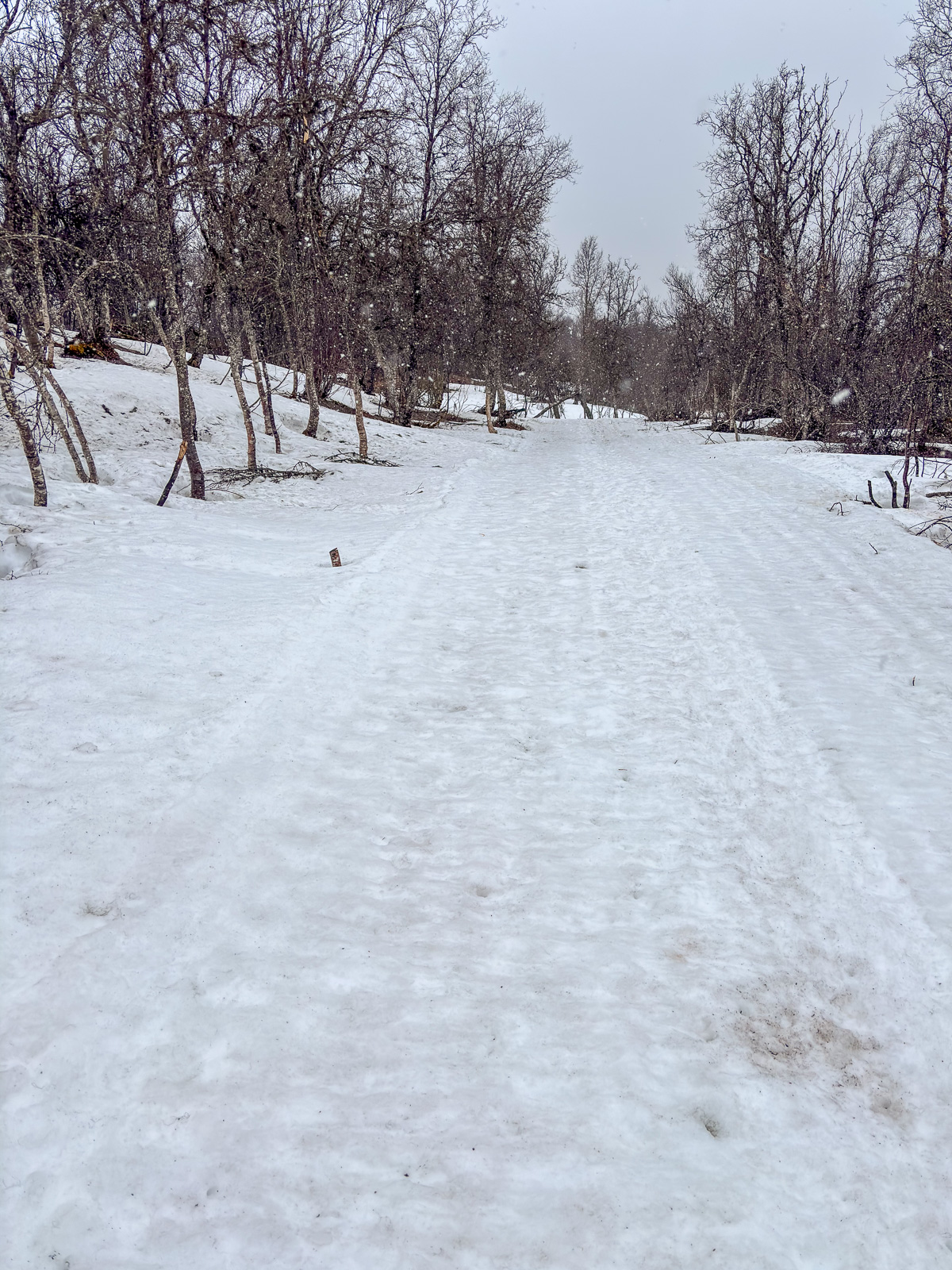
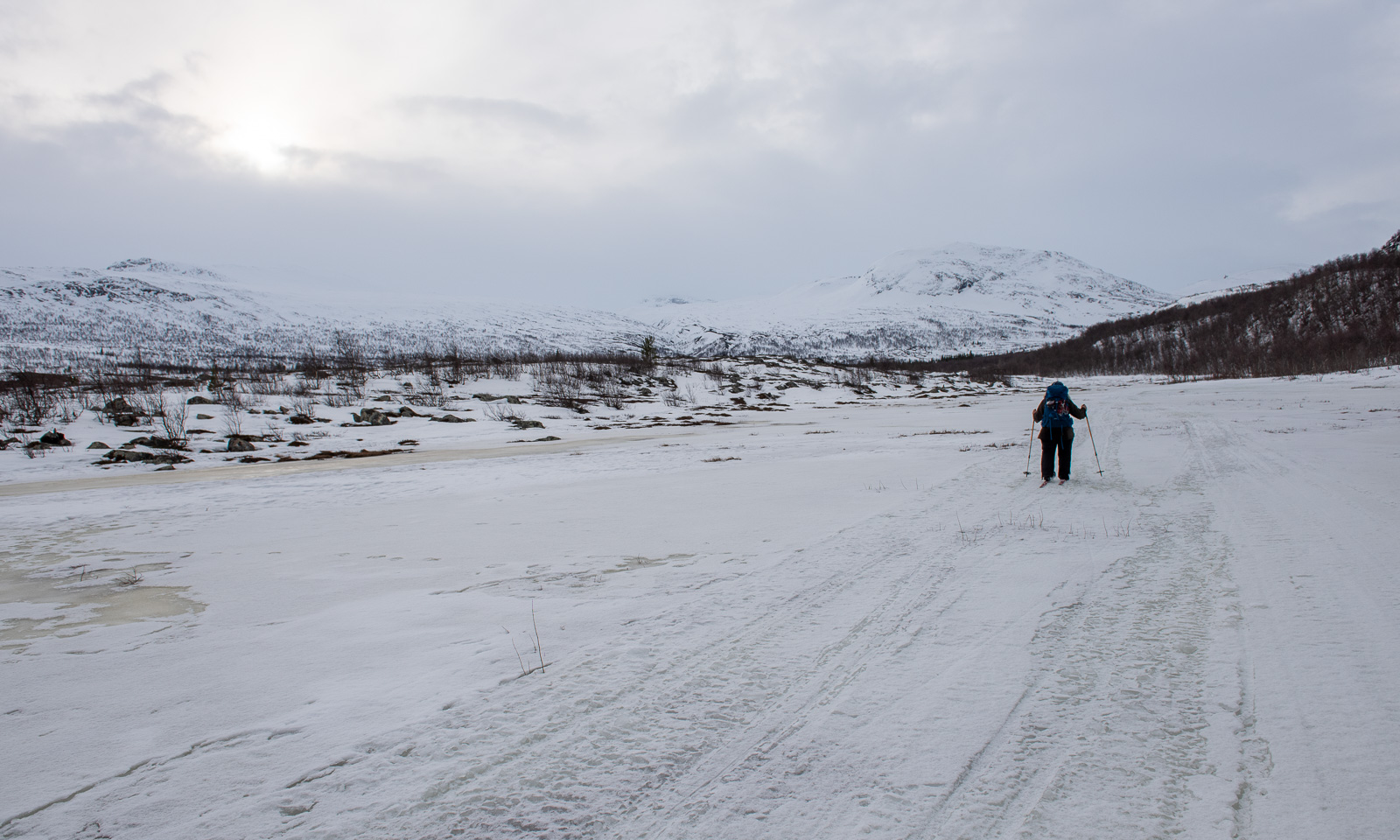
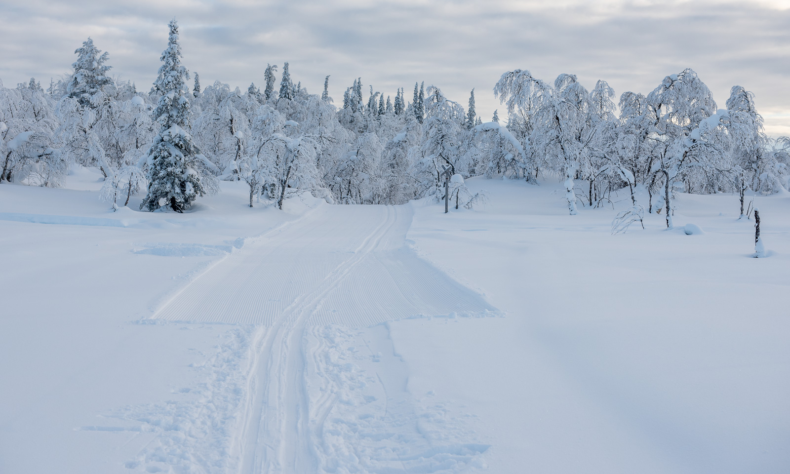
We ski down to the lake and turn left onto one of the cross-country ski trails. The weather is grey, it has started snowing.

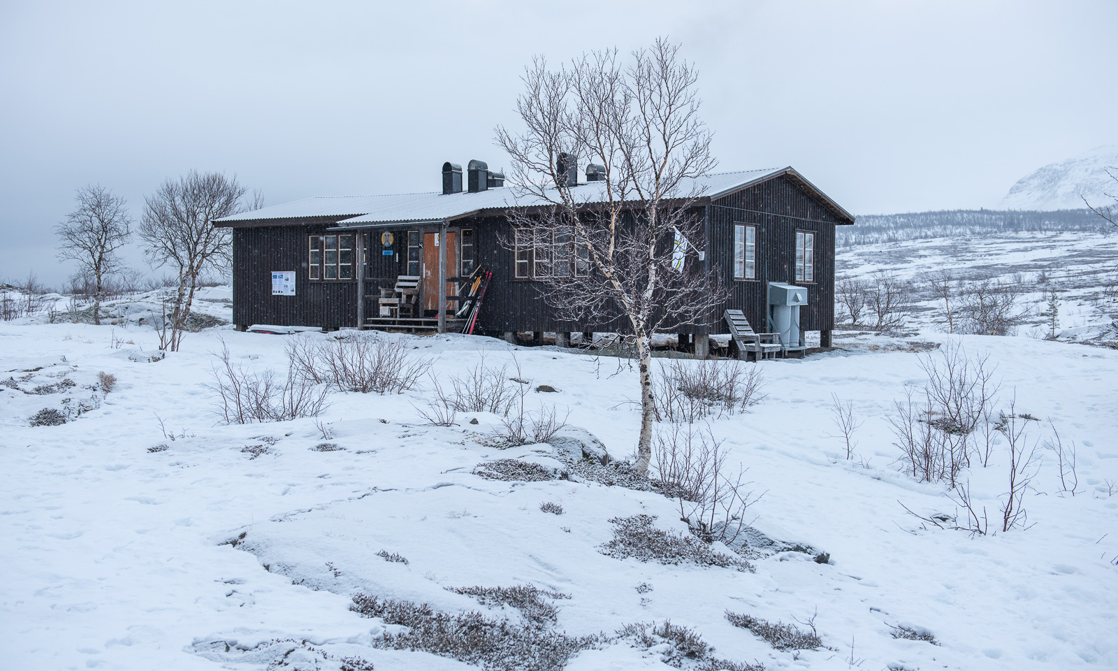
Skiing on the trail is easy. We soon enter the national park and after two hours we reach the hut Pyhäkero.

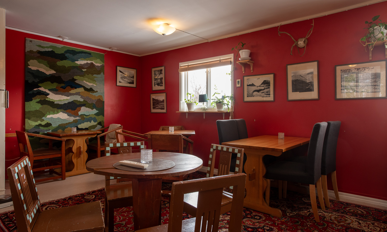
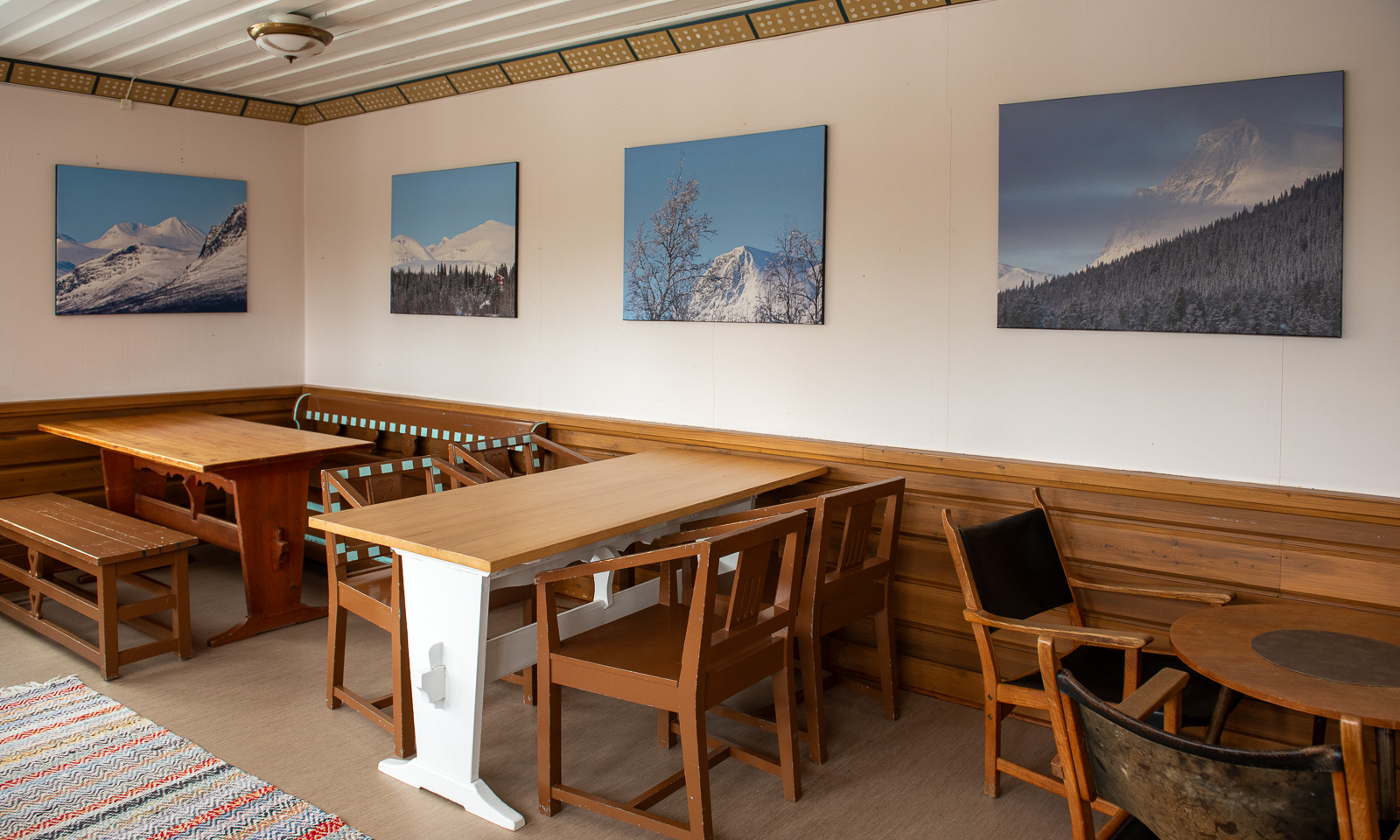
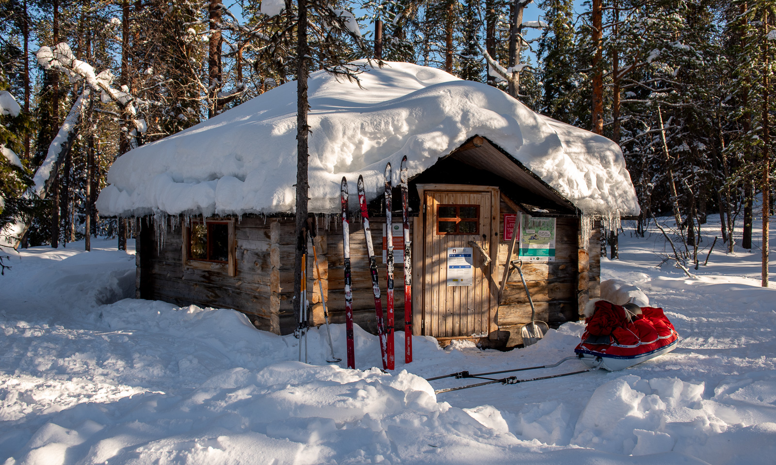
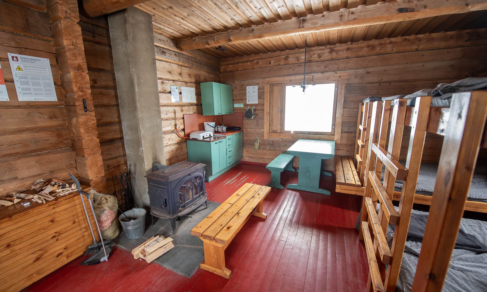
The Pallas-Yllästunturi National Park has a whole network of open wilderness huts, where you can stay for free. There is a wood-burning stove or fireplace, a gas cooker and a platform to sleep on. No mattresses, no luxury, but everything you need on a tour without the need for a tent and a cooker.

Some of the huts have locked rooms that you can pre-book for a small fee.

Outside of the hut Pyhäkero there is a signpost with all the destinations you can reach on foot in summer and on ski in winter. And since we are in Finland the names are quite long, such as OnnasvaaranreittiSammalvaaranreitti, or Postituvaniärvet. We have only 8 km to ski to Sioskuru today, where we pre-booked two beds. Sounds easy,  doesn’t it?

A piste groomer is passing the hut. Will it groom our trail? No, it just turns back. At the same time the wind is increasing, and so is the snowfall. Unfortunately the weather forecast was correct.

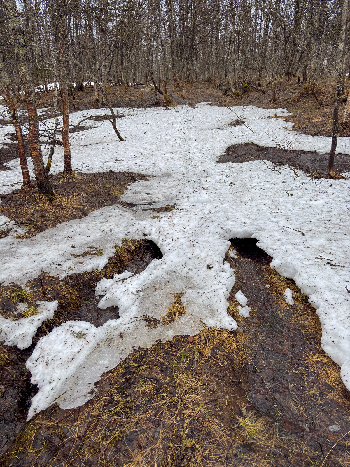
First we traverse a gorge that leads slowly uphill.

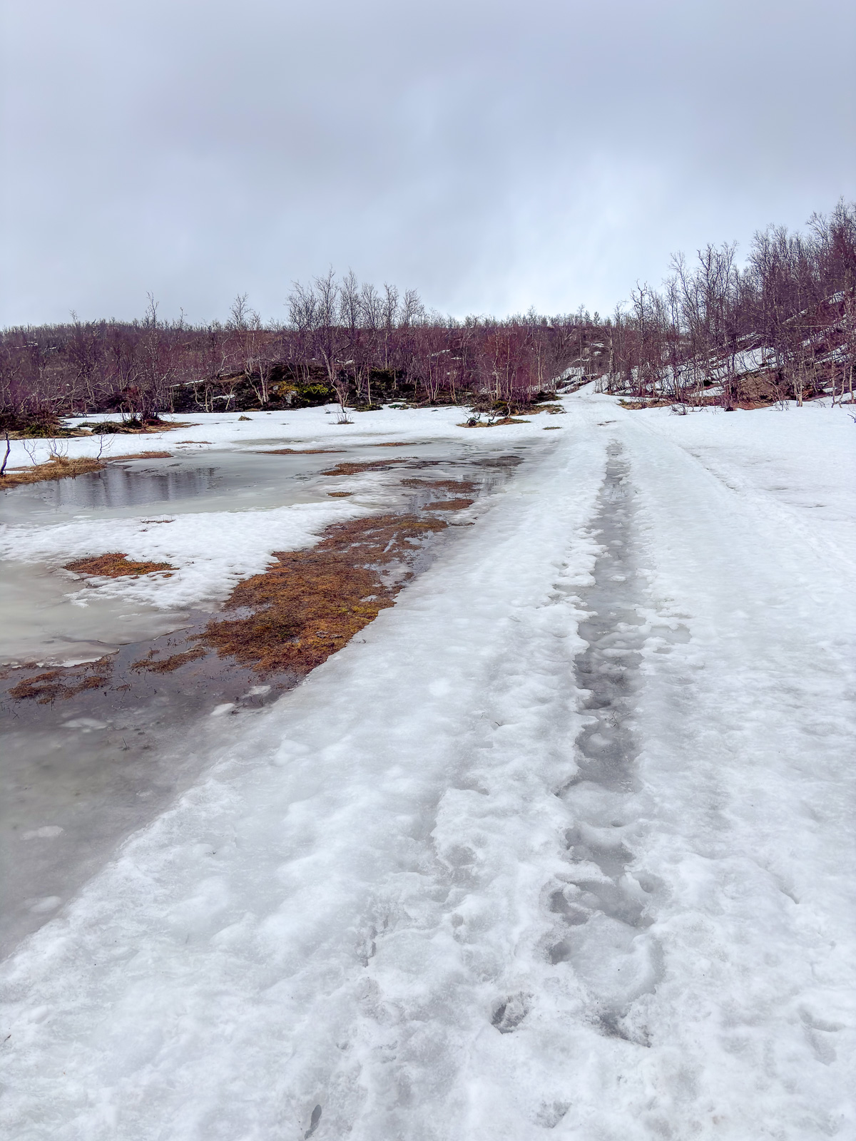
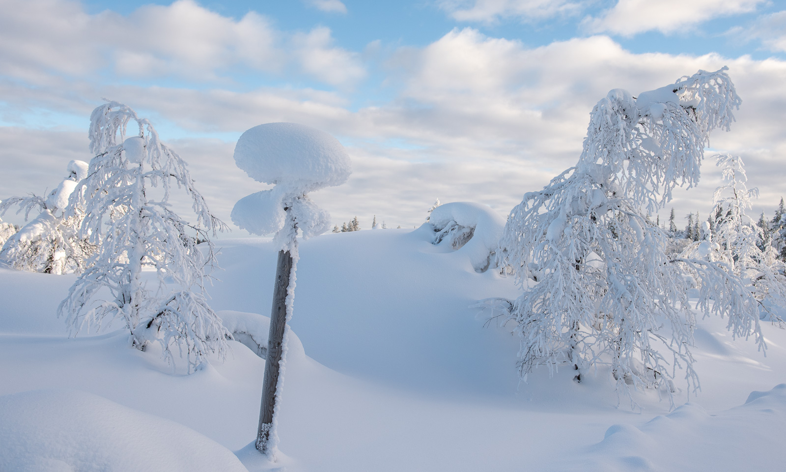
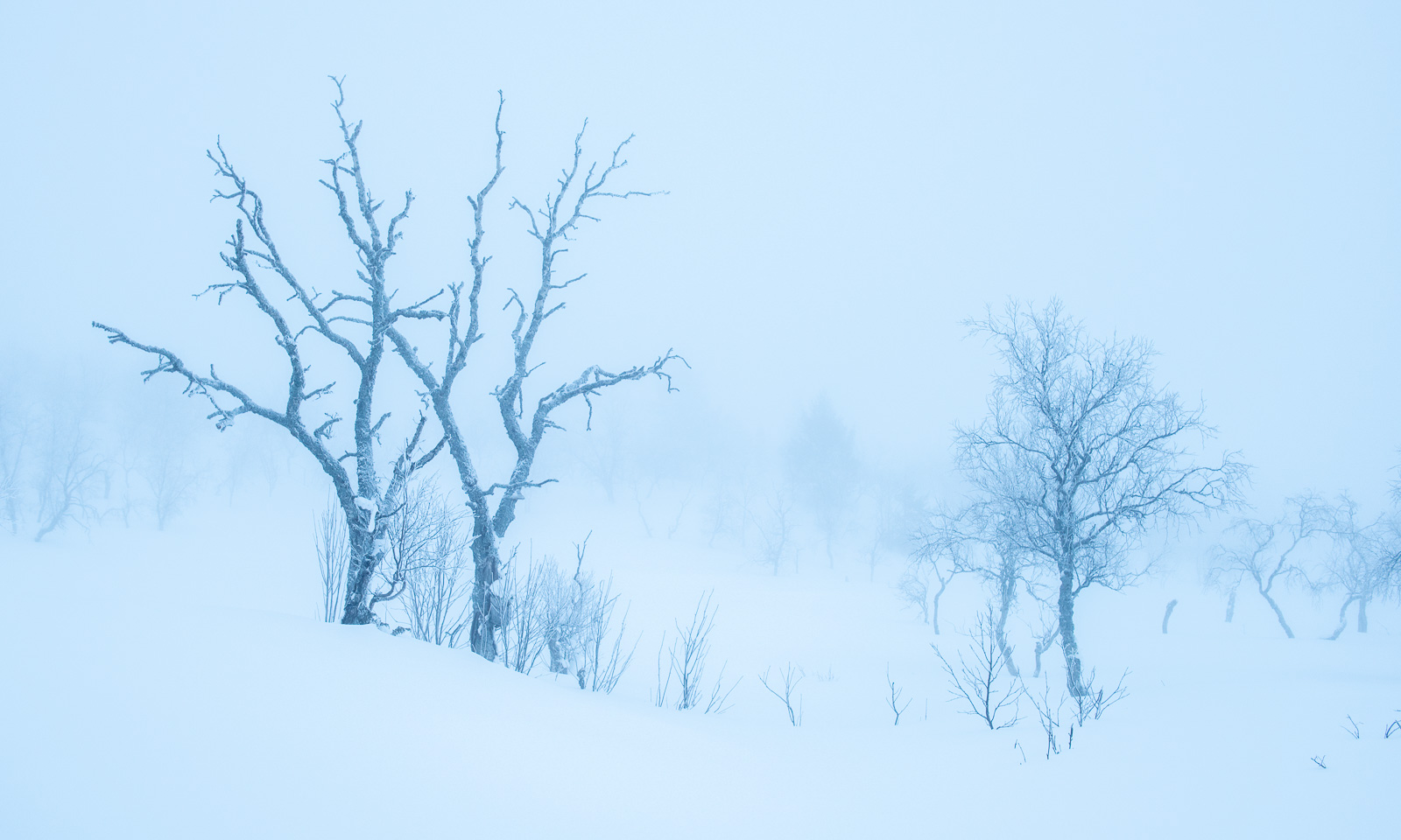
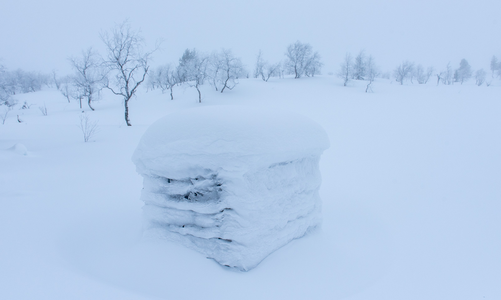
Then we reach more open terrain. The wind is pretty strong, it is snowing and you cannot make out anything except the trees, that look like being placed randomly in the plateau. Luckily, the path is well marked with wooden crosses.

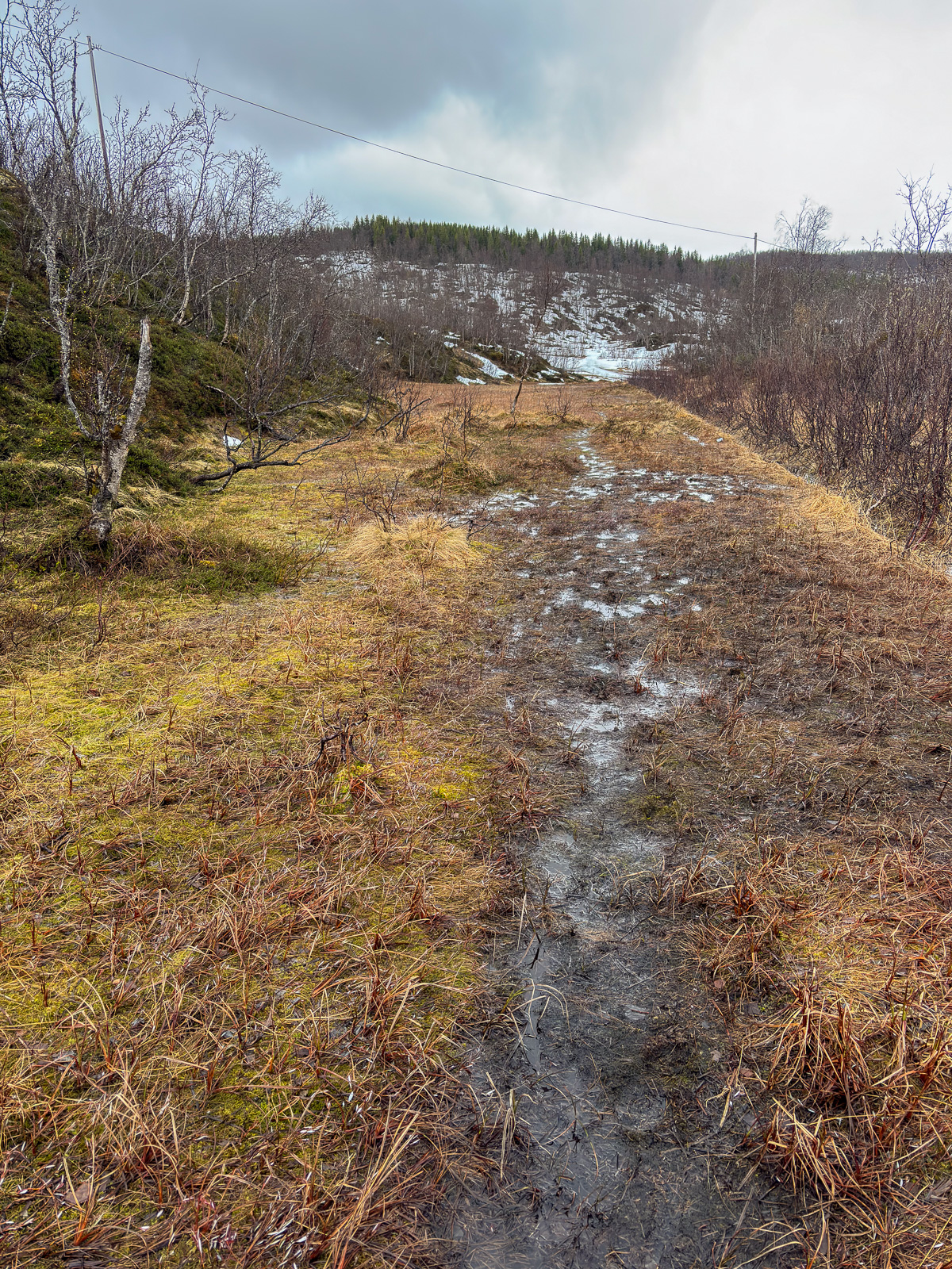
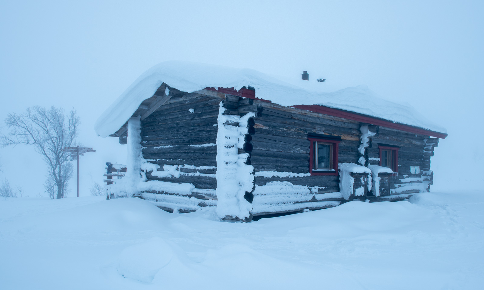
The snow gets deeper, the terrain steeper and each metre we ascend is extremely exhausting. Again and again we have to rest to catch our breath. It takes us two hours until we finally spot the hut Sioskuru. Two hours, in which didn’t take a single picture in these two hours.

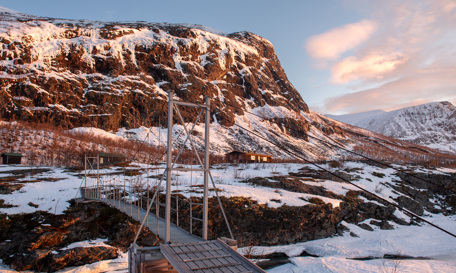
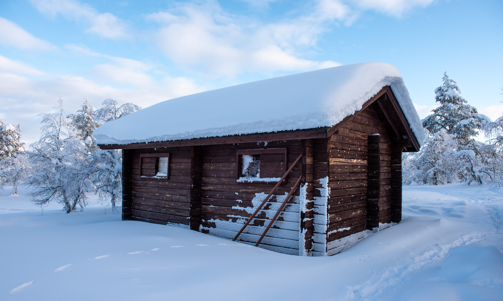
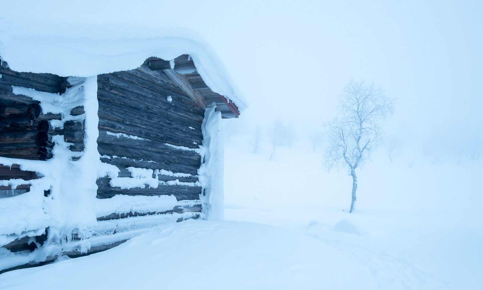
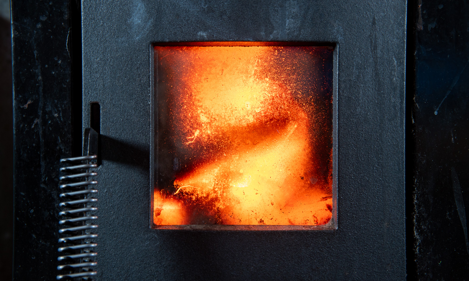
It takes some effort to unlock the frozen lock, then we are inside. Now it is time for us to defrost our faces, change clothes and enjoy the shelter of the hut. While the wind and snowfall are slowly declining, we  are settling in, making fire and cooking food. We skied 17 km, but I am very exhausted, my legs hurt and I am very glad to have arrived.

The next day we will continue to Hannukuru, which is, fortunately, a shorter distance.

From inland to coast – a cold car ride

Yesterday morning, when I woke up I first checked the thermometer in the kitchen. It showed -27 °C.

I was in Jokkmokk to visit my friend Sascha and the Jokkmokk winter market. Would my car start when it’s that cold? After a coffee Sascha, his dog Roxy, and I went to the huge car park behind the railway line where my Suzuki had been parked the last two days. To my relief it started without any issues and even scraping ice off the car didn’t take as long as expected.

Farewell my friends – off I go.

The day was exceptionally beautiful and cold. The car thermometer went down to -29 °C and then stayed around -25 °C for the next hour. Should I switch to the Hägglunds that was parked beside the E45? Probably not the best idea with a distance of around 400 km ahead.

At half past eight, the sun rose. I parked my car and walked to a frozen lake nearby to take some photos. Was that where I froze my nose? It still itches a bit today.

Because of the cold weather in the last weeks the frost and snow on the trees has not melted and often I pulled into a lay-by to take more pictures. The small side roads were white with snow and looked absurdly beautiful.

I started to get hungry and stopped at the small shop in Kåbdalis, where I bought a kanelbulle that was still hot from the oven.

I continued my trip south and crossed the river Piteälven, which was mostly open. And so was the river Skellefteälven, which I crossed three hours later.

The sun sank lower and lower. When I arrived in Obbola at five in the afternoon it has become dark.

Today in Obbola the winter looked very different from the forest-dominated inland. The Baltic Sea has frozen due to the cold winter temperatures and if the icebreakers would not keep open channels for commercial seafaring you could walk the 45 km to Finland. I was on the ice as well, but only for a walk along the coast. I like the snowy forest, but I adore the sea ice!

Just a walk to the supermarket

I couldn’t find my small Sony RX100 camera so I took photos with my mobile when I took a walk to the supermarket on my lunch break today. In wintertime there are some hidden beauties on the walk there.

Bonus photo – taken at 16:55, just before my first Friday winter swim at Telegrafbukta beach. We were a group of around twenty people. Today’s challenge was not the swim itself (water temperature: 3 °C), but the vicious wind and the long walk into swimmable water due to the low tide.

Fresh snow in Tromsø

It has been a while since it snowed in Tromsø. Nevertheless, the trees have been white this week, not because of any snow but because of the hoar frost. Yesterday many trees – large and small – were still covered in hoar frost. In the afternoon it started snowing.

When I woke up today the outside scenery looked as wintry as it could be. The next two photos I took from the balcony of my flat on Tromsøya this morning.
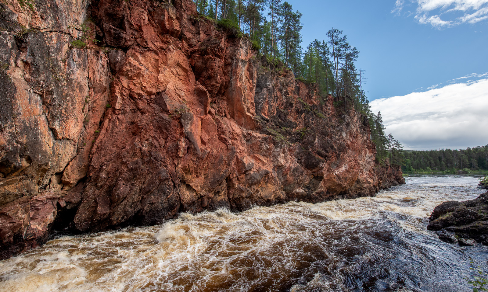
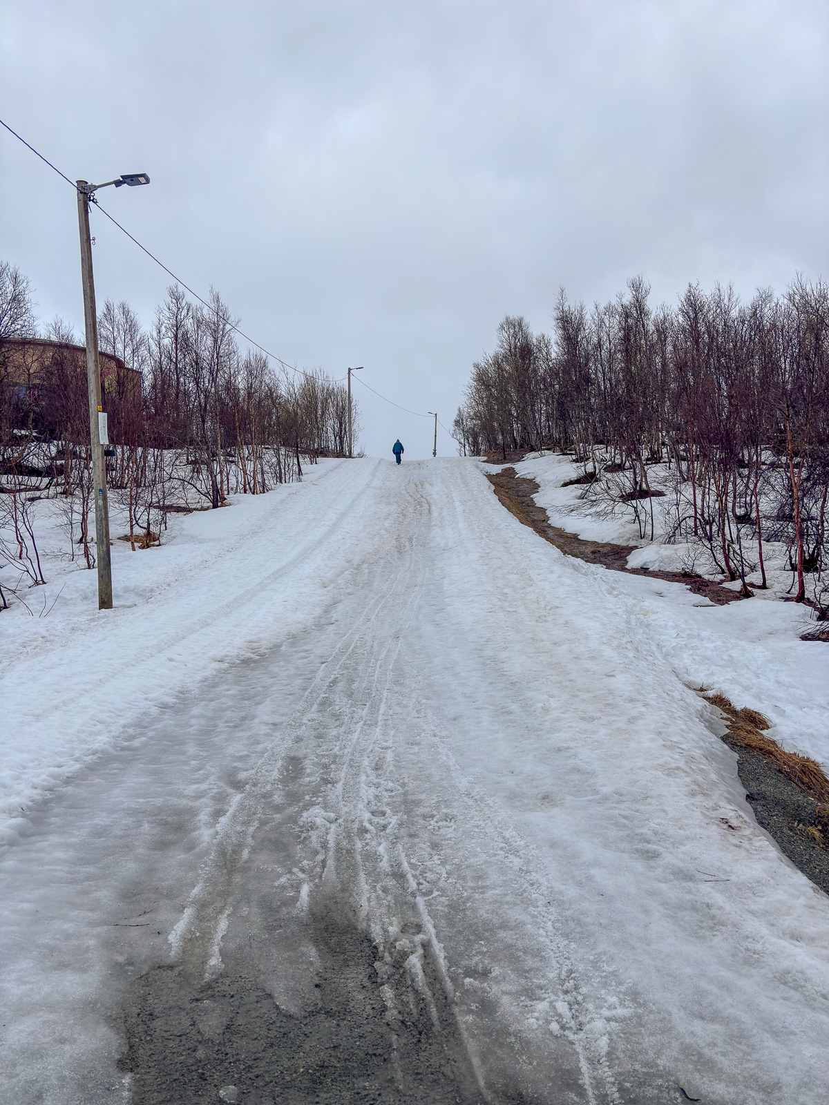
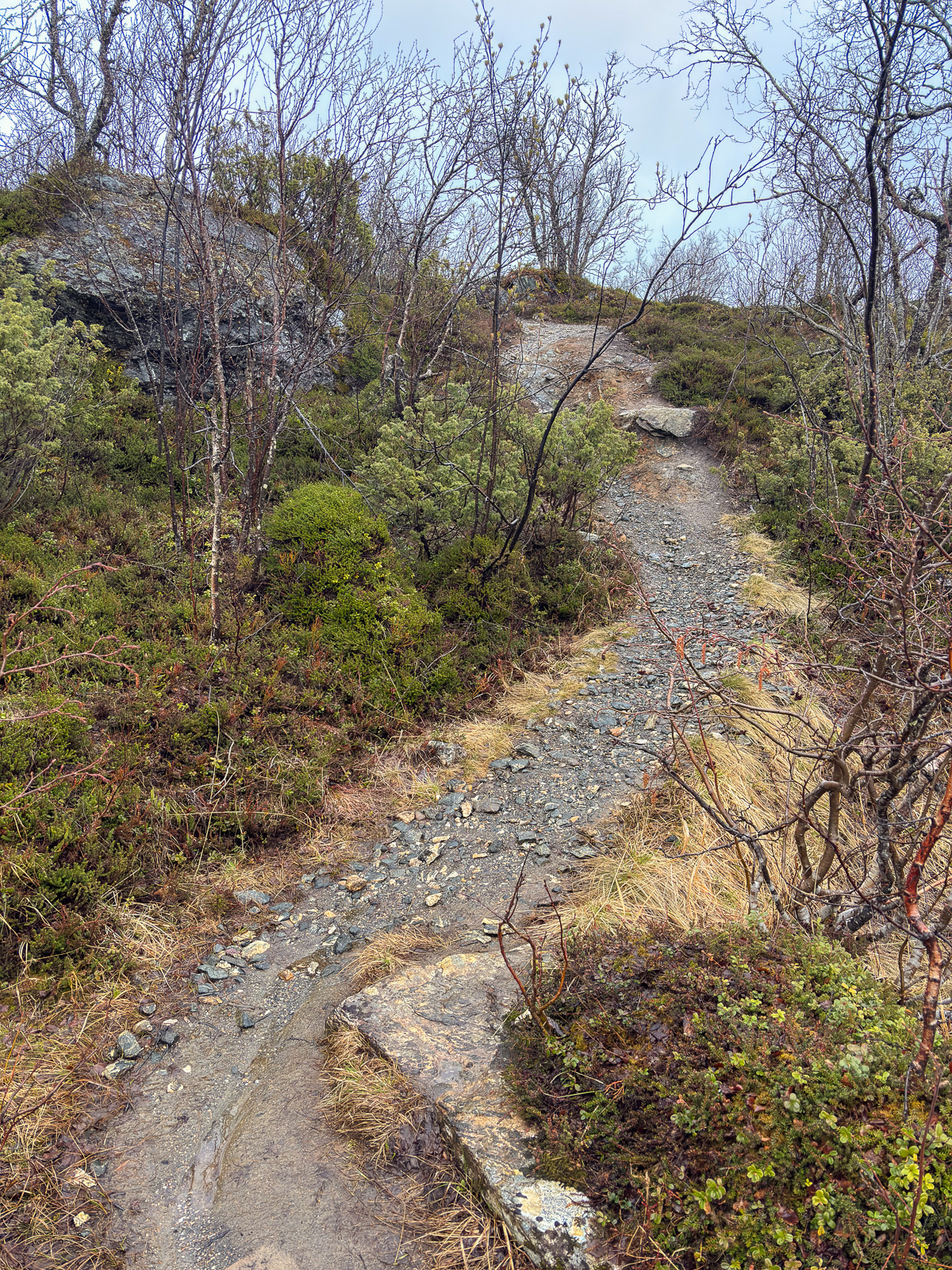
Today after breakfast I went on a ski tour. Not a big one, just starting at the gravel road that leads into the forest 350 metres from here. The road leads to the ski run and crosses a cross-country ski track on the way there.

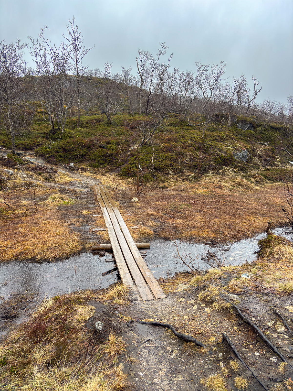
I like the scenery there in all seasons, but I adore it in winter when fresh snow has arrived. Just some photos, especially from the more open places – bogs in summer, snowfields in winter:

While I cleared 14 cm of fresh snow from my parking space in the afternoon it started snowing again leading to a snowburst with snow bucketing down and adding another one or two centimetres additional snow within minutes. In my snowed-covered teddy fleece jacket I looked like a snowman.

Next week there will be not much snowfall, but it will be cold enough to preserve the snow. I love winter in the north.


Ski premiere 2026 in Tromsø

What do you do when it is Sunday, you sleep until 10 o’clock, have a long breakfast and want to go skiing, but the amount of usable light is quite limited? You take the car to the mainland, park by the Elvestrand Cemetery and ski to the lavvo of Gutta på Skauen (The Guys in the Woods). That’s what my wife Annika and I did today, when we slept until 10 o’clock, took a longer breakfast and wanted to go skiing.
With -15 °C it was significantly colder at the parking lot than in town. It took a while until the fingers got warm when we started skiing.
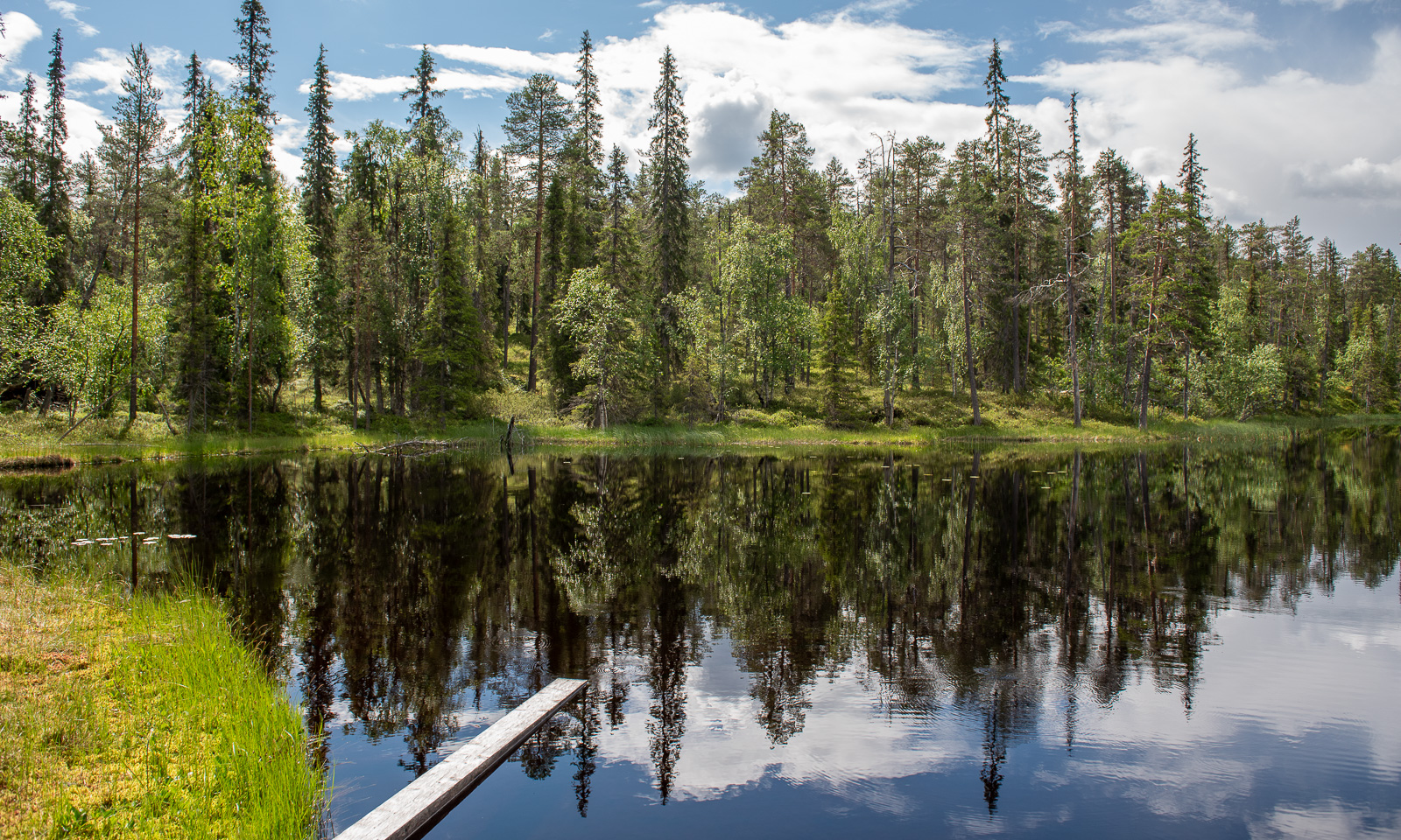
Behind us: the town of Tromsø on the island Tromsøya. In front of us after 2.6 km: the wooden lavvo.

It is an attractive destination amongst the locals, not only because it is near and the ski track is easy but also because the lavvo is open on Sundays between 12:00 and 14:00. A fire is burning and men – the guys in the woods – serve coffee and hot juice. The “lavvoboller” – the cinnamon rolls – that lie by the fire, you take yourself. Everything is free but a donation is always welcome.

We sat there for a while and then headed back taking a slightly different route. It had become darker and the light had changed.

At the parking lot we put our stuff into the car and I drove back. Around 15 minutes later we were back at the flat in Tromsø, where I took a final photo of the view from the balcony.

The time from deciding “let’s do it” to being back in our flat in Tromsø was less than three hours. Another reason why Tromsø is a cool town to live in.

Winter walk on Tromsøya

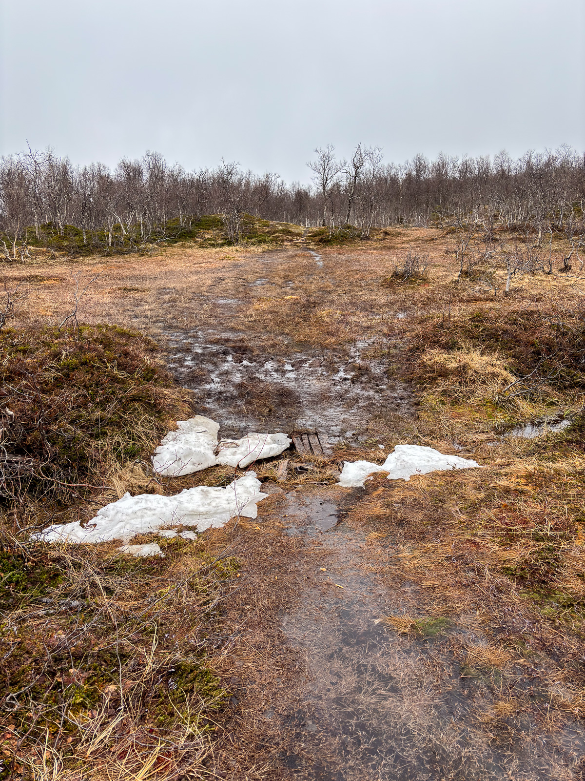
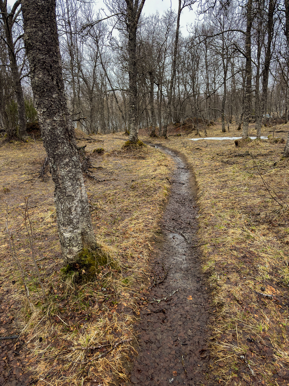
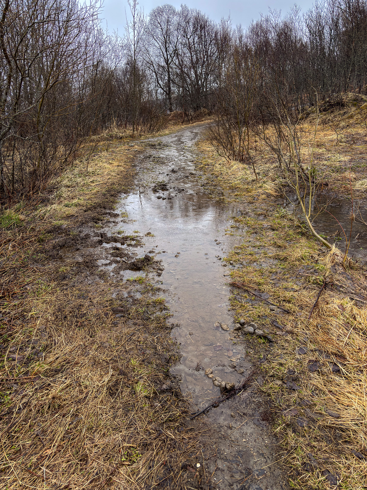
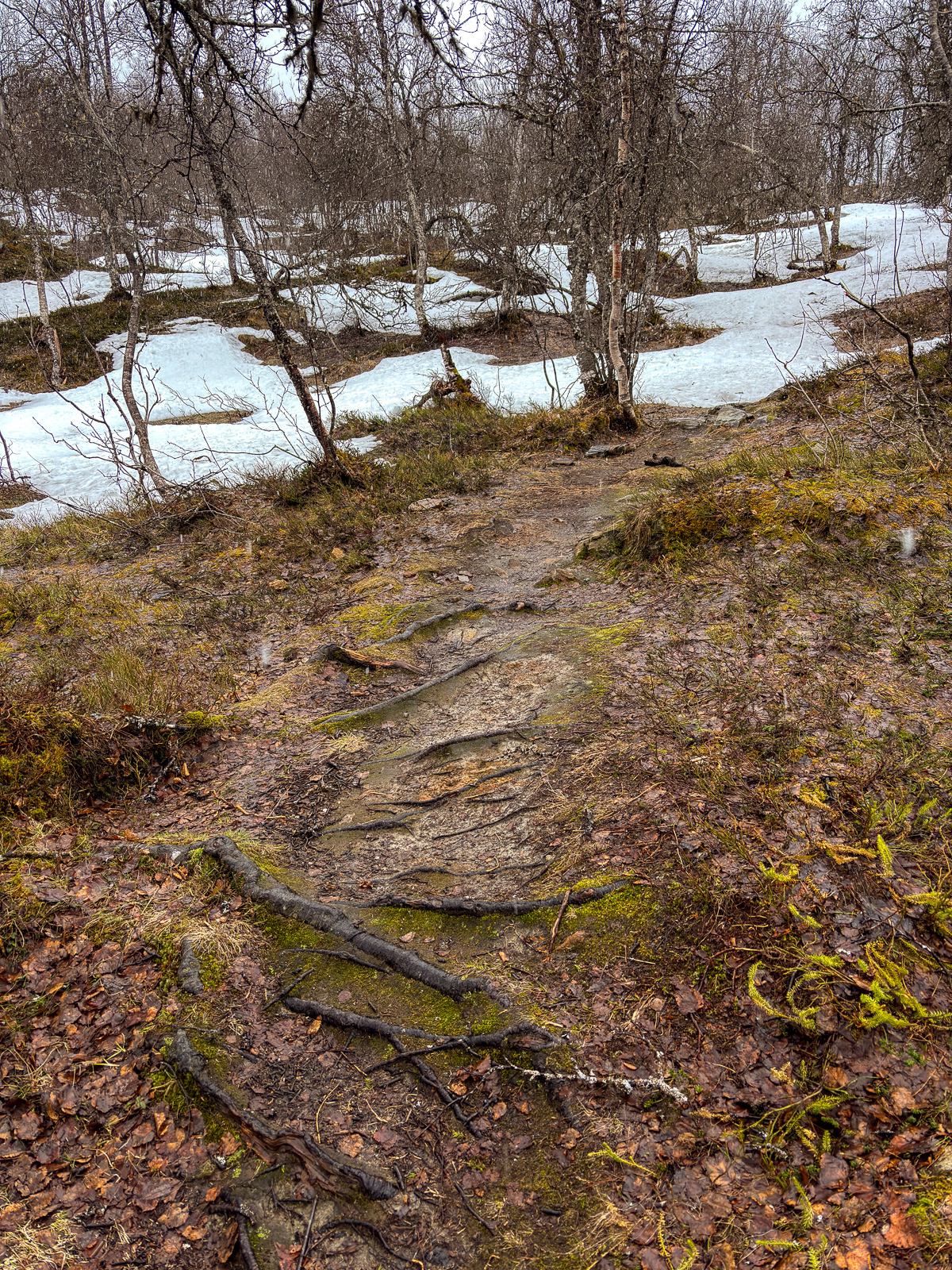
This morning I went for a winter walk in Tromsømarka. That’s not an official name, but it describes the hilly terrain with forests, lakes, and bogs on the island of Tromsøya. I’ve walked there countless times because it is only minutes away from my flat – on foot. And I walked there on foot today. Maybe a stupid idea, when we have 60 cm of snow …

We are still in mørketid, the time where the sun will be below the horizon the whole day, but as you can see it is not dark at all. At least not around lunch time. The colours of the sky are incredibly delicate and vary a lot depending on the hour of the day and the direction you are looking. The photos were taken between 10:38 and 11:28.
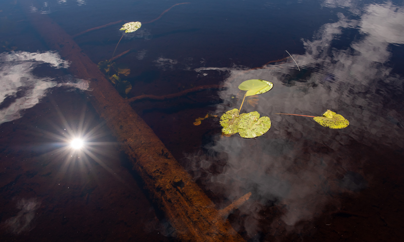
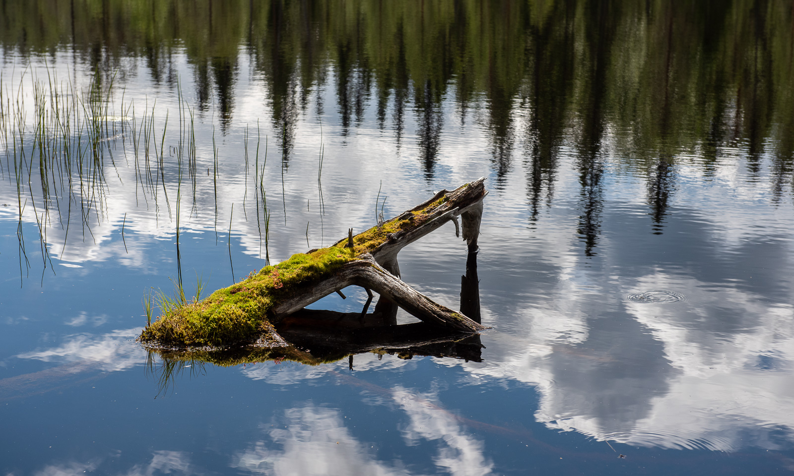
I’m not happy with the photos. I used my small Sony RX100 that was accidentally to some strange mode using JPG, not raw format. That caused me some trouble editing them in Lightroom. Next time I will take my Nikon again, although the camera body plus two lenses is far heavier.

Scotland NC500 – day 9 – water falls and Loch Ness

This article is part of the series “2025-10: Northern Scotland”.

October 21

Today is the last day of our holiday in Scotland that my wife Annika and I are spending together. We had a comfortable accommodation at An Spiris in Dundreggan. Now we are walking to the café for breakfast. On our way we pass this private house.

Back in the car we follow the road A887 which goes alongside the River Moriston. This river flows eastwards where it enters Loch Ness – Scotland’s most famous lake. Before we reach Loch Ness we stop at the Invermoriston Falls. While these are more a series of rapids than a huge single waterfall, the short walk in the old beech forest is extremely beautiful, especially now in autumn. You can also see how beautiful these stone arch bridges are when viewed from the side. You never notice that when driving over them. Nor do you notice small gems like the stone shelter at the ridge of the ravine that the river has carved into the rocks over time.

Inside the shelter it is quite dark. On the dark stone table lies an arrangement of lichen, a stone, two thin sticks – one with a cone – a feather and three leaves. I really would love to know the story behind this artistic still life. Was it a playing child with artistic talent? Leftovers of a pagan rite? A photographer creating a new subject? I’ll never know.

As most places on our journey this place is new to me and so is the next one: Loch Ness and the Loch Ness Centre in Drumnadrochit. This is of course a tourist hot spot. We didn’t visit the centre, but stroll around and check the gift shops. And the surprisingly good Italian ice-cream. I like the submarine called Viperfish that was built as a private project in 1969 to search for the monster. I guess you needed a shoehorn to get into this tiny vehicle.

And then of course there is Nessie, the Loch Ness monster and you see it everywhere. Not necessarily as a living creature but as a sculpture and on countless souvenirs. Even Scotland’s famous soft drink, Irn Bru has a Nessie edition.

Some other stops follow. Some stops enforced by roadworks with single-lane traffic and some freely chosen, such as the Corrimony Chambered Cairn – a 4000 year old passage grave, or the village Cannich that has a café in an old, turquoise double-decker bus and an outdoor collection of teapots.

The reason we pass Cannich is that we want to visit Plodda Falls, our last stop on our road trip that was originally planned to follow the NC500 coastal route but became much more zigzagged – and hence much more interesting.
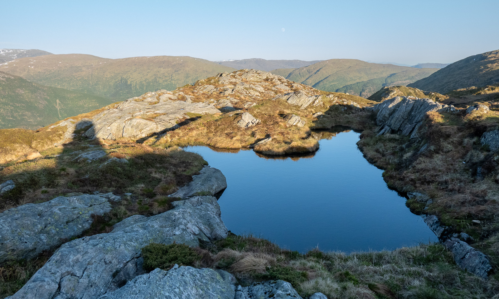
As many other waterfalls the Plodda Falls are a bit disappointing. It’s a nice view, but come on – we have waterfalls in Norway too.

But then we continue the circular hiking trail. We hear water falling, we enter a platform and look down into a deep chasm. And right below us, the water thunders down! That’s the Plodda Falls!

The hiking trail goes downhill, we follow. Now we have a better view of the real Plodda Falls. Truly impressive! From the photo, you wouldn’t guess that they are 46 metres high!

It is not only the waterfall, the trail itself is impressive as well with its gigantic trees with enormous roots.

At half past four we are back in Inverness where we leave our rental car. Annika has driven 1290 km the last eight and a half days to all these special places across Northern Scotland. We re-pack our things and get a lift to the train station. The train leaves at 17:20 and we arrive back in Aberdeen around half past seven.

October 22

Time to fly home – farewell Scotland. I’ve been here three times and I’m pretty sure we’ll come back.

Scotland NC500 – day 5 – fog, castle, mountains and forests

This article is part of the series “2025-10: Northern Scotland”.

October 17

My wife Annika and I have left Lairg where we stayed overnight and head west on the A837 through hilly farmland. Some places are covered with patches of dense fog which give even the more common views a magical touch.

We cross the River Oykel. North of the A837 another bridge spans the small river. These stone arch bridges are quite common, but here we can park so that we can take photos. We even get a bit of sun.

Half an hour later we arrive at the Knockan Crag National Nature Reserve. We park the car and have a view of the lake Lochan An Ais and the mountains behind. At least on those parts, that are not covered by fog.

Anyway, we hike the Crag Top Trail, a circular route. It starts drizzling as we follow the path and learn about the geological history of Scotland. Have a look at the seven photos of the stones.

While we continue our hike clouds approach and most of the view vanishes into a white void. But not for long, then lake and mountains are visible again.

Our next accommodation is in Badrallach in the south. However, we have time and first take the road north to Loch Assynt where Ardvreck Castle is located. We already visited this place three years ago.

As we hoped, the weather forecast was correct and it cleared up more and more. The silhouette of the castle ruins looks as impressive as last time, but now the water level is much lower and you can reach the peninsula with dry feet without wearing high rubber boots.

Not far from the castle there is a little waterfall, that is surrounded by birch trees. Now the leaves are bright yellow – one of the reasons why Annika and I love to visit Scotland in autumn.

Back in the car we follow the same roads that we already used three years ago. The same A837 to Lochinver by the sea where we take a light lunch in the very same guesthouse we stayed overnight three years ago. The same ridiculously small and bent single track road, that leads us further south to Badnagyle. Perhaps this is my favourite Scottish road (as long as Annika is driving and not me).

We turn left and reach the highlands again. We pass many mountains, amongst others Stac Pollaidh, that we climbed last time.

And we finally find a parking place where I can take a photo of a gorse bush, that is still in bloom.

Last time we spent a lot of time in Ullapool, now we do not even stop. (Or did we? I don’t remember.) We have to drive around the Loch Broom, a sea loch that cuts deeply into the land. But finally we can leave the main route and take the small road to Badrallach where we will spend the next night. Left and right there are some of the most beautiful trees I have seen for a long time, but again this road is single-track and it is not possible to stop without blocking it completely. Only once we can leave the car to admire the beech forest and to have a curious look at the two fenced in tombstones.

Then Annika and I arrive at our tonight’s accommodation where we get an extraordinarily beautiful room with a Scandinavian wood-burning stove and a large double bed. We take an evening walk to the end of the road and back again. Then we’re winding down the day in our room.

Scotland NC500 – day 3 – from kayak surfers to the inland

This article is part of the series “2025-10: Northern Scotland”.

15 October

My wife Annika and I have stayed in a hostel in the center of Thurso. If you took a ship from here and head north you could reach the North Pole without crossing any land mass. We however have no ship, but a rental car and after breakfast we continue our road trip westward.

Our first stop is Melvick Beach, where we go for a walk. The beach is embedded in a bay. At the eastern end Halladale River flows into the sea. In this section of the beach it smells bad, because large amounts of rotten seaweed cover the sand. Maybe it was torn from the sea by Storm Amy a fortnight ago.

Our next stop is Bettyhill, just 20 km to the west. While there is a beach here as well – we come to this later – there is something else to see: Erected in the Bettyhill Cemetery there is an ancient Pictish symbol stone, the Farr Stone. It is dated to around the year 800. Little is known about the Picts. That makes this carved stone all the more mysterious.

The old tombstones from the 17th century are pretty impressive as well with their pictogram-like symbols: The hourglass, the bell, the coffin, the skull with crossbones and grave-digging tools. When this tombstone was carved, Johann Sebastian Bach was still alive.

Back to the present. And time to visit Farr Beach nearby. We are not alone. There are kayakers out in the sea with short surf kayaks. I wish I had a tenth of their skills. On the beach, we strike up a conversation with a man. We learn that it is his friends being out there playing in the waves. Among them are some of the most skilled kayak surfers in Scotland. The waves are not high, they are just playing around and it is fun to watch them while chatting. I wish I had a twentieth of their skills.

Back in the car we continue west but we make a detour. We follow a small road lined by trees. Sometimes the treetops touch each other so that a tunnel of trees is formed. That makes these single track roads look even narrower. Luckily the road is pretty empty.

We see the island Eilean nan Ron from above. The road rises, then descends nearly to sea level and we come to the main road, where we reach the Kyle of Tongue, a shallow sea loch. Before we cross it using the bridge, we have lunch on the car park by the loch. Each of us has a “meal deal”. That’s a cold meal such as sushi or salad, combined with a drink and a snack. Available in most supermarkets.

It has been pretty grey today, but there are holes in the clouds and the sun illuminates different parts of the mountains in the south.

Our original idea was to follow the NC500 further to Durness further west, but we couldn’t find any affordable accommodation. Therefore we had booked a room in Altnaharra the day before. After the booking we learned that there are many accommodations in Scotland, which are not on booking.com, but today’s room is already booked. So let’s head to the Scottish highlands!

We take the bridge over the Kyle of Tongue and turn left to follow the bay southwards until it looks more like a shallow slough with mudflats sticking out of the water. A pity, that the light is quite dull.

And then we cut through the moorlands in the Scottish highlands. The red-brown colours of the grass are intense – these are the colours of Scotland in my humble opinion.

Forty minutes later we sit by the open fireplace at the reception of the hotel in Altnaharra.

Soon we are given a comfortable room upstairs. To my delight it includes a bathtub. After dinner I’m having my first hot bath in years. Oh – so delightful!

October on Tromsøya

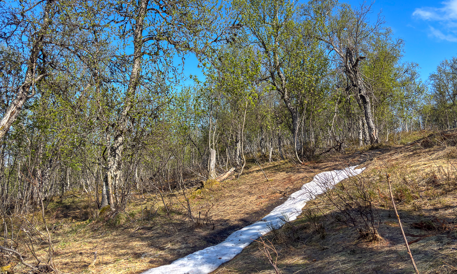
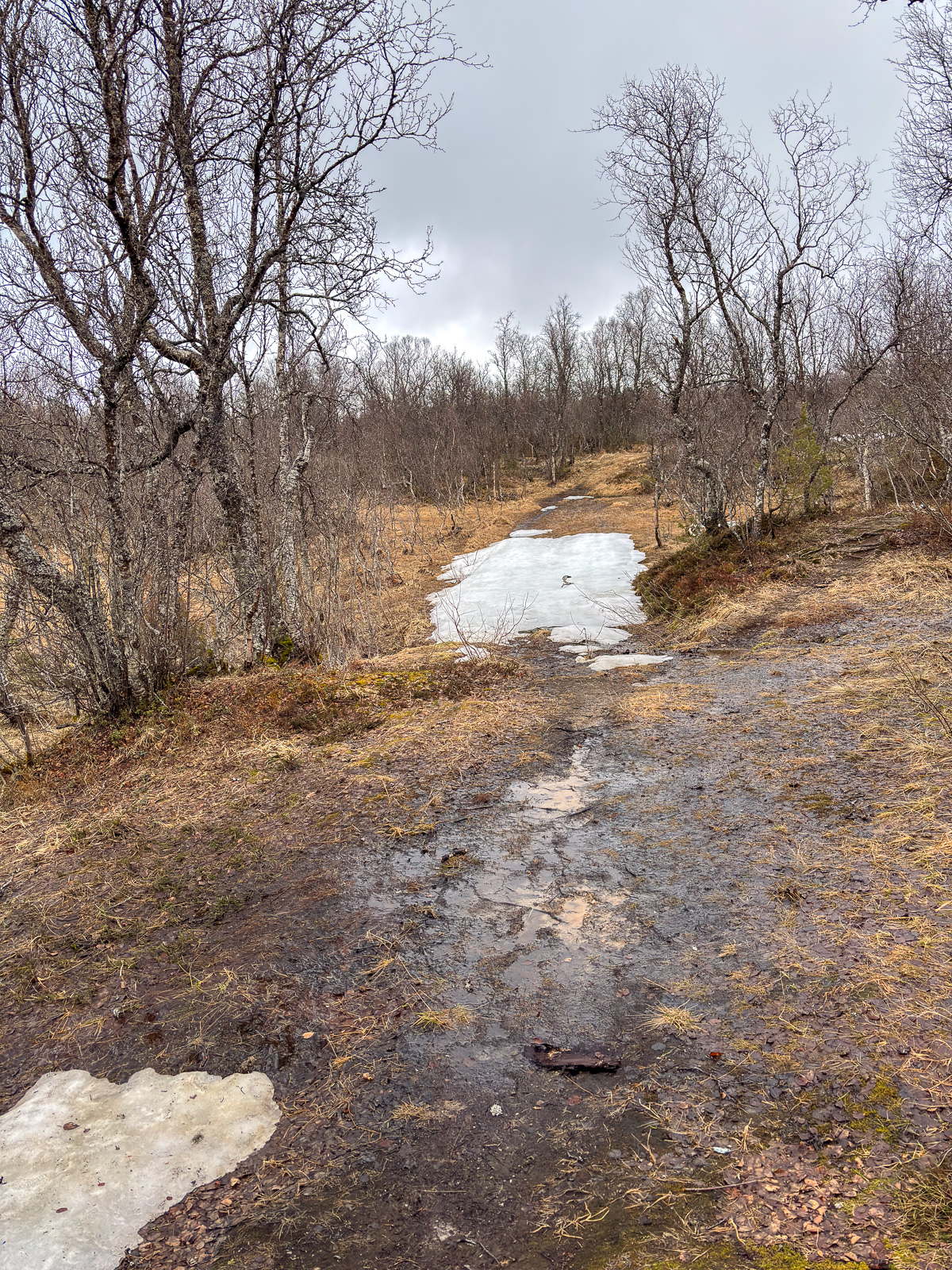
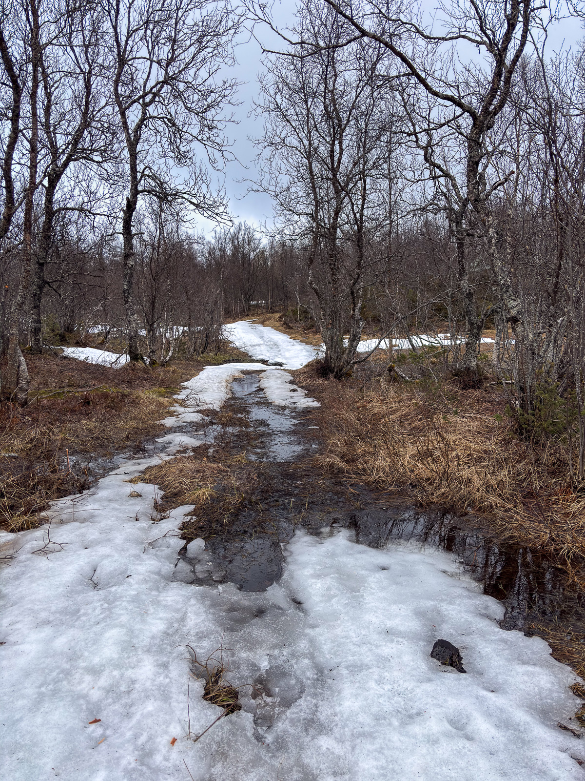
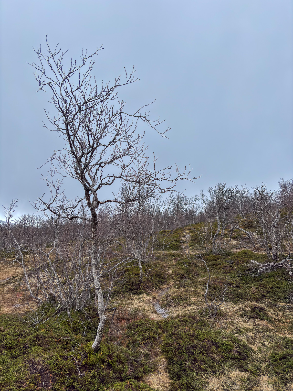
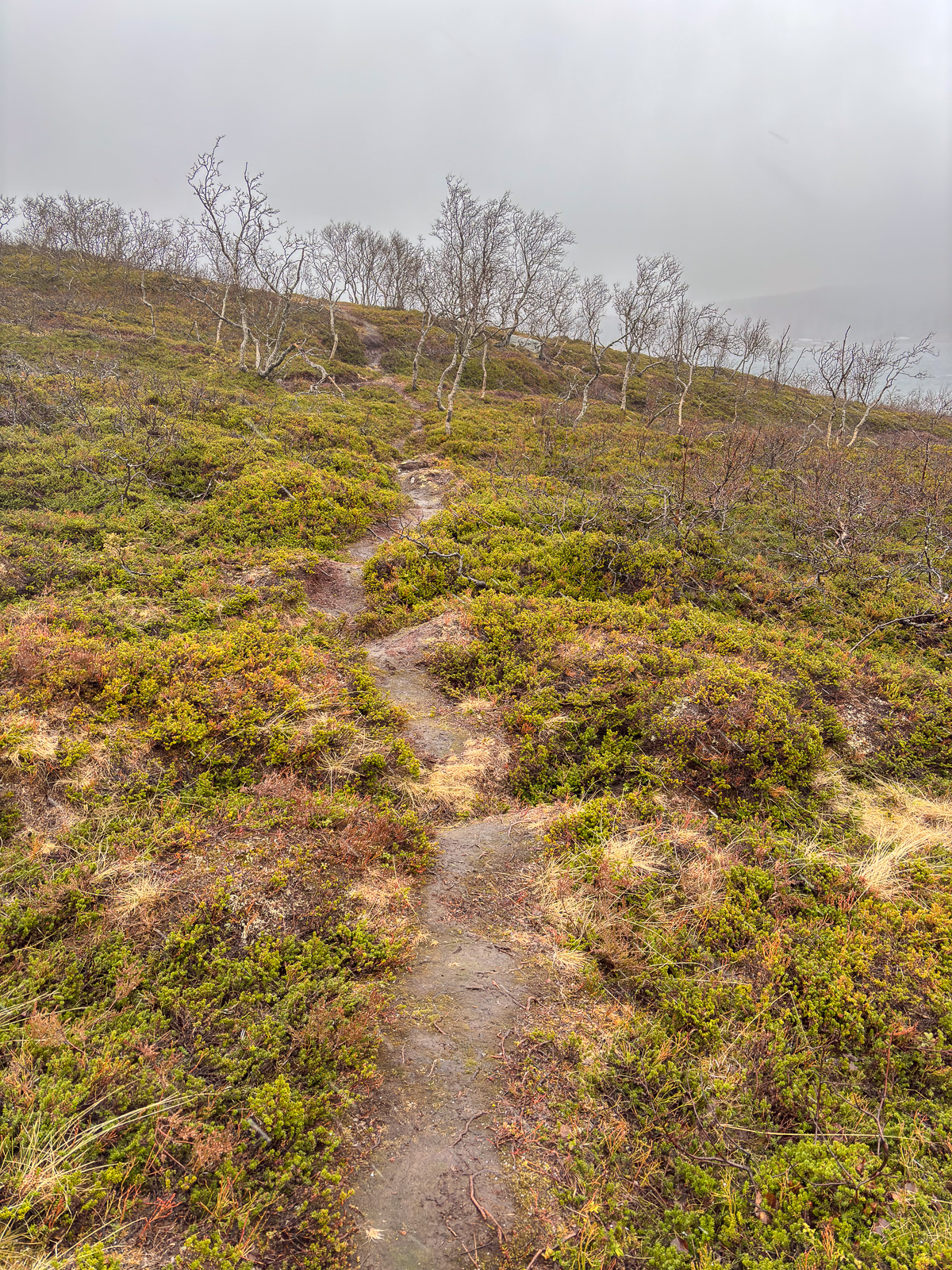
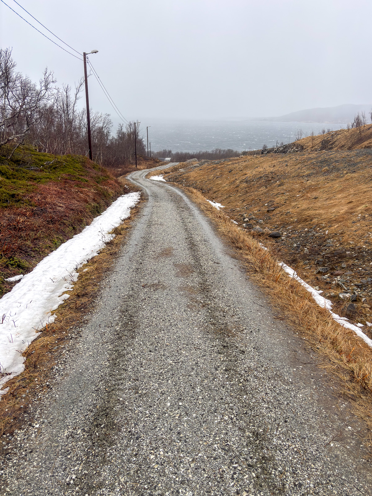
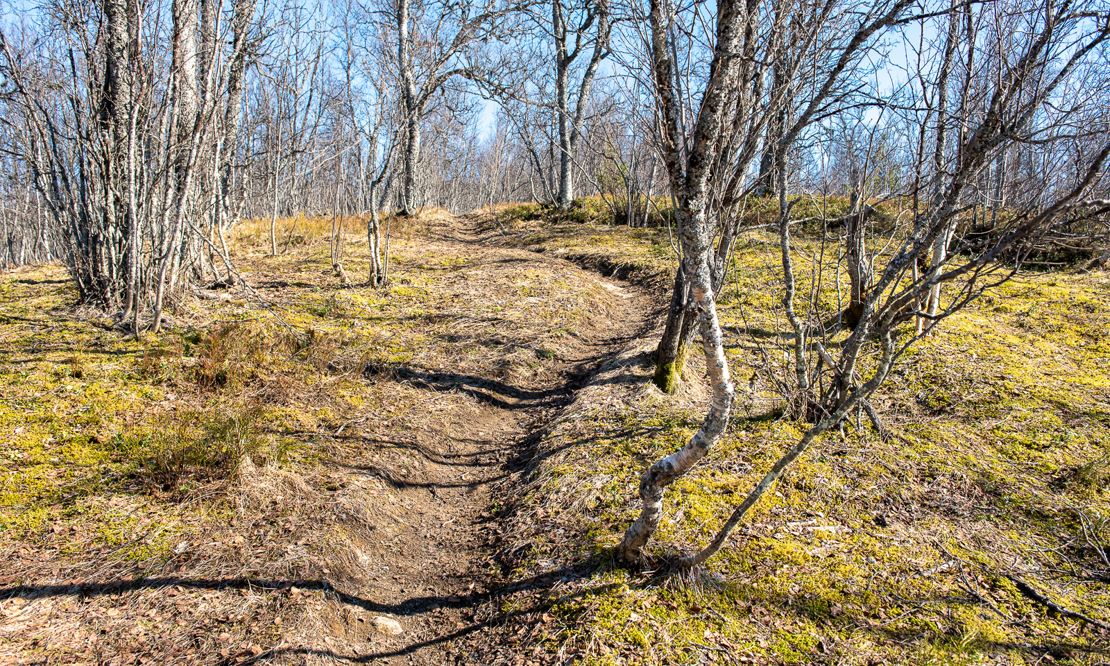
This is the season where the golden October starts to loose its colours. The first ground frosts occur and many birch trees have lost their leaves. Now it is the rowan and willow trees and the grass and moss that shows autumnal colours.

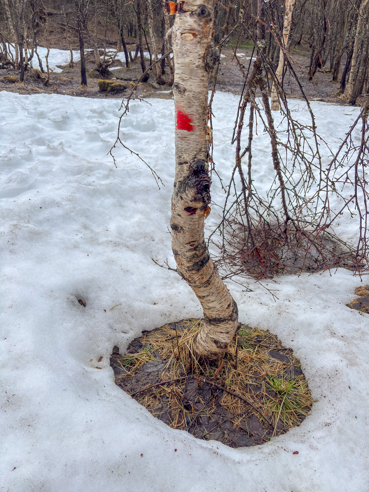
Four pics I took on an after-work hike two days ago and four I took today.

It won’t be long before the afternoons are so dark that the light posts make sense — and maybe I’ll be able to ski there as early as next month.