20 August: Kungsleden day 1 – Vakkotavare—Teusajaure (16 km)
This article is part of the series “2017-08: Kungsleden hike”.
The idea to walk the Kungsleden with my sister Katrin and my brother-in-law Andi had been existing several years. This year we put our plan into action and went this famous Swedish long-distance trail from Vakkotavare to Abisko, which is round about 110 kilometres. Fortunately Annika had time to join us.
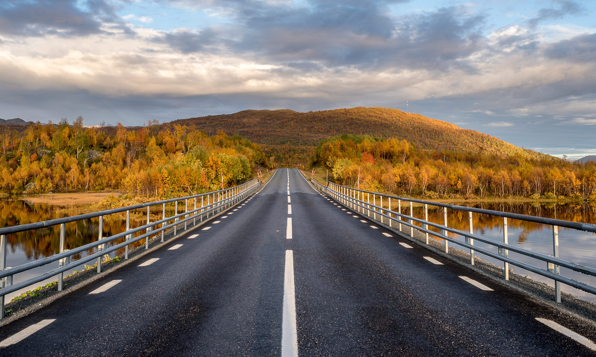
We started our tour on 20 August, exactly two weeks ago. As many hikes our tour started with public transport: The bus 93 from Gällivare to Ritsem. The last 130 km of that route are famous for being Sweden’s longest dead-end road.


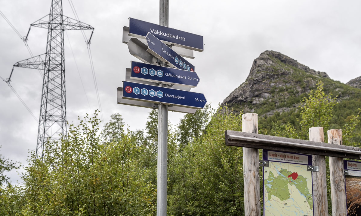
We however left the bus at Vakkotavare where we immediately started the tour. We had no time to loose since our destination – the Teusajaure hut – is located on the other side of the lake Teusajaure and we hoped for a lift with the motor boat at 19:15 to avoid rowing cross the lake.
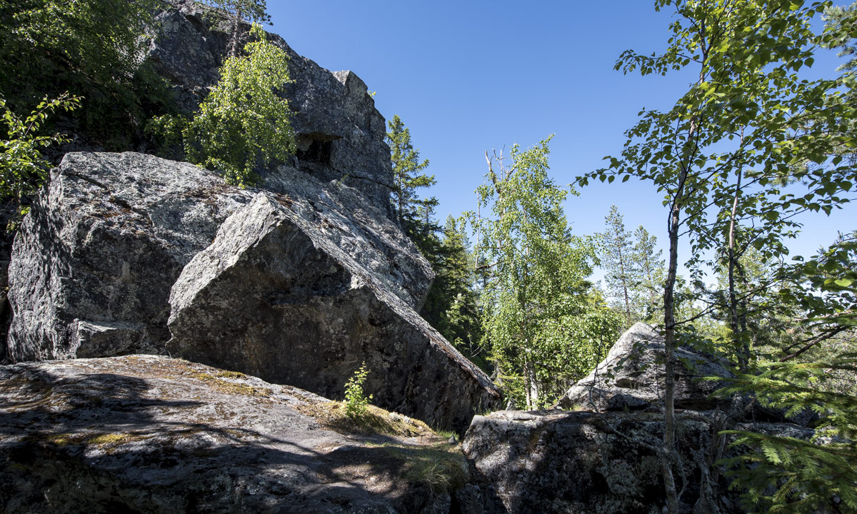
The first part of the trail is quite steep and leads along a mountain brook with some waterfalls. 500 metres in altitude can be exhausting, when it’s the first day and the backpacks are still packed with some extra food.
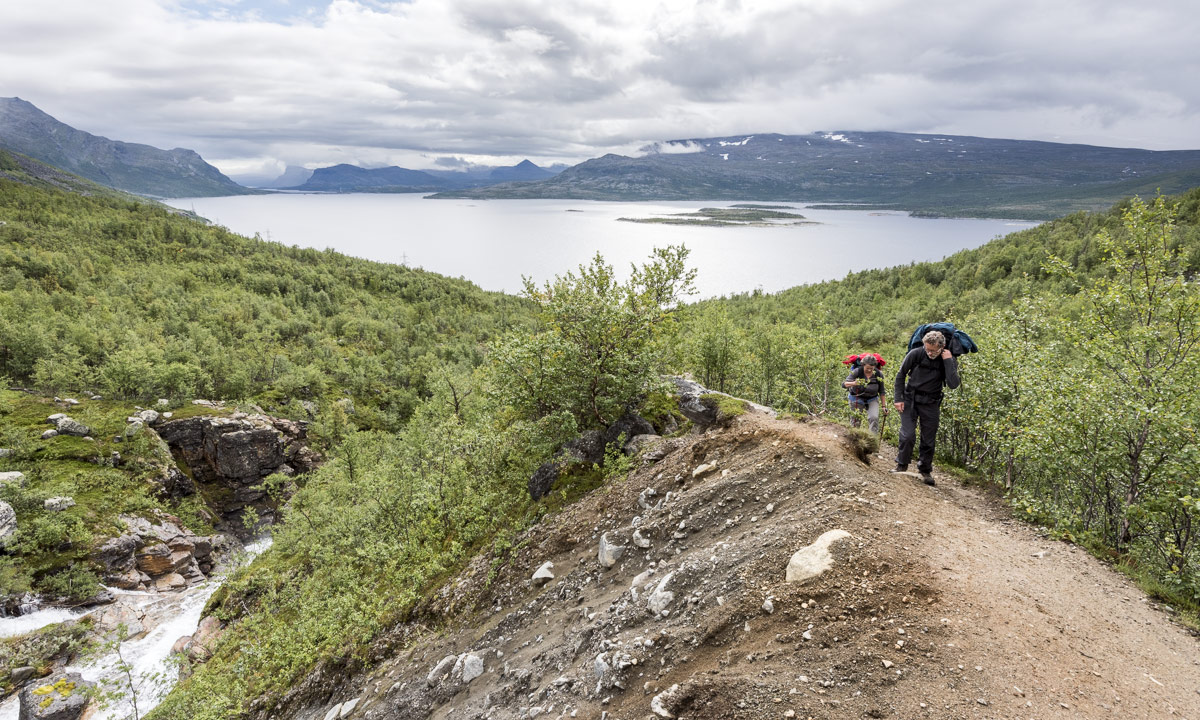
Finally we were on the plateau on the “kalfjäll”, the alpine region above the tree line. I really love that bleak but wide landscape where you can look so far.


Until then we were quite lucky with the weather. It wasn’t sunny but at least it didn’t rain. But the weather worsened. The clouds became darker and it started to rain, first lightly then gradually intensifying. We could see some patches of old snow far away but soon all mountain peaks vanished in the thick layer of clouds.

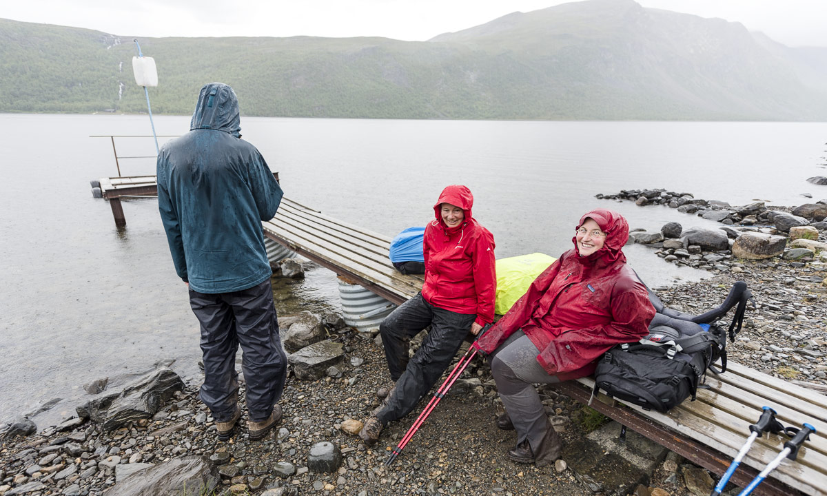
The last part of the trail descends again. This was probably the most dreadful stage of our whole hike: it rained more and more and the steep stony path downwards was muddy and slippery. Despite of the rain there was not a single wisp of wind. So every second we stopped we were immediately surrounded by clouds of mosquitoes that landed in our eyes and nostrils or tried to get into our ears to suck our blood. Anyway we hardly rested anyhow since we tried to reach the boat.
We managed to reach the landing stage at the lake Teusajaure in time, wound up the signal for the boat (a white plastic jerry can) and waited. At least we were glad that the hut Teusajaure was in sight.
I felt disappointed and frustrated. It was the first hiking tour in Sweden for Katrin and Andi. What would happen if the weather would stay like that? And the muddy trails? And the mosquito clouds? Would we continue or abandon the tour? What would they think about hiking in Lapland? Would they ever come again …?

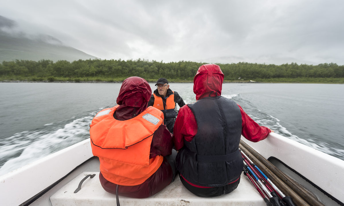
Soon we could see the boat leaving the other side of the lake. Minutes later it arrived. We put the backpacks onboard, jumped in, put on live wests and soon brought across the lake.
On the other side we unpacked the wet trunks and the stugvärd – the mountain-lodge keeper – gave us four beds to sleep. While Annika and I had hiked in Sweden many times it was brand new to Katrin and Andi and felt like a culture shock:
No electricity, no water tap and no water toilet neither! Instead of that: candles, a wood fired oven, two gas cookers and some buckets with water – partly fresh, partly used. And the earth closet somewhere out in the dusk. Again I felt a bit guilty that I persuaded Katrin and Andi into that Kungsleden hike.
Anyway the first tour day that was long away from being ideal came to a nice end: We had pasta, fresh chanterelle mushrooms and sour cream with us for the first day and therefore could enjoy a dinner far above standard. Now we only hoped for the rain to stop. It didn’t take long until we went to bed and soon we all slept.
What do you do if you don’t want to get a motor boat lift? You row by yourself. That’s round 1 km one way.
There are three rowing boats total. If you have two boats on your side, you’re lucky: Just take the boat and row across the lake.
If you have only one boat on your side, you have to row three times: First you take the boat and cross the lake. Then you row back with the same boat and a second boat in tow. Then you leave that second boat and row again a third time. So it’s ensured that there’s always at least one boat on each side.