Jämtland tour 22 – the glacier of Helagsfjället

This article is part of the series “2022-08: Jämtland and Trøndelag”.

It is 23 August, day 9 of our hiking tour through the mountains of Jämtland. Today we take another day off and I decide to try to reach the glacier of the mountain Helagsfjället. I don’t know how near I can get but I’ll see.

This glacier is the Sweden’s southernmost and parts of it are visible from the Helags fjällstation. You can even see the mark of the top (1797 m) which is round 750 metres higher than the cabins.

On my way up I meet three men heading for the top. I hear that it is easy to climb, even for children. Other hikers will confirm that later. Well, perhaps I’ll do that another time but today I want to touch the glacier.

I walk first up on across county, reach the main trail and follow it for a while. Then I turn right to follow a smaller path heading to the glacier. I reach a field with large rocks and boulders. Carefully I follow the cairns that mark a path until I stand in front of the first glacier tongue.

Time for a selfie!

I spot another glacier tongue. For coming there I have to climb over a rock outcrop. Mountaineers will laugh that I call it climbing but I’m more a hiker than a climber and as soon as I have to use both hands I call it climbing. The effort was rewarded. What an impressive view on the glacier!

I stand still for a while. First of all it is beautiful weather and then it is fascinating just to see the colours of the glacier changing while shady clouds pass by. And then I move again to take more pictures. And I drink some water and eat a bit of chocolate.

How long I stand there? I cannot say. I start my way back. My first view is on the radio station on the mountain Jalkedsåajja. This is where my sister and brother-in-law are today. But it is too far to spot if they are there right now.

While walking back I come to the small glacial lake that I already passed on my way up. Some people had written their names using stones. Wait – some people!? Only now I do realise that the whole area is covered with messages arranged by stones. An ancient social media stream – though without cat videos.

The whole tour took only three hours, with a lot of photographing and taking rests. If you plan to visit Helags you definitely should consider to give the glacier a visit. I keep my fingers crossed that you get nice weather, too.

Jämtland tour 22 – the trail

This article is part of the series “2022-08: Jämtland and Trøndelag”.

On the photo above you can see the trail from Blåhammaren to Storulvån. It is in fact two trails together: the winter trail that is marked with red crosses and the summer trail that mostly is marked with stones with a large dot of red paint on it. We didn’t follow this trail I only took the photo because of the beautiful evening colours.

Many parts of the trail are just like this. They lead through heather, grass, crowberries, and dwarf birches. Other parts of the trail lead over hills, across rock fields, through forests and sometimes over a reindeer fence.

This is when the trail is dry. But often it isn’t. The trail can just be very wet of last nights rain as we had it on our third day.

The trail can be boardwalks that lead over swampy area or bogs. Some of them may be under the water which makes them rather slippery.

And then there are rivers, streams and brooks. Some of them are crossed by a bridge. Some bridges are big, some are – well – small, simple, and pragmatic.

And then there are rivers that you have to ford. I ’m used to hiking in rubber boots and so I could splash through while my fellow hikers had to switch to sandals and wade through the ice cold water. Already Douglas Adams said: You have to know where your towel is.

And then there is mud. It can be slippery and sometimes quite deep, especially right before or after a plank. When you have a plank.

Especially the first day trail section StorvallenBlåhammaren was in an extremely poor shape. The others went around all these muddy patches while I – hey, I have rubber boots! – just continued straight ahead. But then at one point it happened. I made a step ahead and my right leg sank thigh deep into the mud. On the trail! Luckily Blåhammaren had a dry room.

But don’t be afraid, that’s not typical. Many sections of the trail look more like this:

How long the trail was? I don’t have the exact numbers but I think we hiked round about 135 km on 8 days, so round 17 km a day.

A cloudy hike up the Stor-Kjølen

The weather forecast promised sun for most of the day today. Nice conditions for hiking up the Stor-Kjølen. I’ve been there once almost exactly one year ago, today I chose the other route coming from the Northeast.

I was there, my camera was there, however the sun wasn’t. Thick and low clouds hung over the whole mountainscape.

1 – The trail

5-5½ km long, leading up 560 metres in altitude. It is well marked and a visible trail most of the time. One boulder field has to be crossed and the last part is mainly pathless, but not steep.

2 – The reindeer

Much less shy than the Jämtland reindeer. They let me get quite close and one of them came within 3 metres. It seemed to be very curious and I expected it to touch me with its soft nose asking for goodies, but it went away. Another reindeer with huge antlers was much more careful and stayed with its small herd.

3 – The summit

Visible from a lot of places in and round Tromsø because of its prominent, mushroom shaped flight radar station at the top. Beneath the station – a small hut. It’s the varmebua, a heated hut driven by Troms Turlag. Very welcoming today, when it was foggy and round 4 °C.

4 – The weather

According to yr.no 4 °C and sunny. While the temperature might have been correct the rest wasn’t. It was cloudy and foggy and partially also drizzly. But then the sea started to shine and glare. While the sun itself was still hidden by clouds the reflection of the water surface sent sunlight upwards to the Stor-Kjølen. Amazing light, nearly unphotographable.

I waited in the hut for the weather to change, but in vain. On my way back to the car the cloud layer lifted and I could see a bit more of the fantastic surrounding scenery. But if took some more hours until the sun came out today and then I was long home.

A nice tour anyway. Or as the Norwegians say: ut på tur aldri sur – Out on a trip, never sour.

After work promenade to the Keiptuva

38.5 km by car, 5.5 km by foot. Some hundred metres in altitude. Warm and windy weather. Forests, slopes, shallow bogs, mountain paths, water to ford, flowers, snow fields, lakes, tundra, rocks, views to the mountains of Kvaløya, the fjord, the open sea and Greenland. OK, cross out the last point. Anyhow, quite much for a short after work promenade.

April snow in Tromsø

On Monday evening, the 25 April it started to snow.

Tuesday, 26 April 2022

On Tuesday it was snowing and temperatures were below zero.

Still some flowers peeked through the snow.

Wednesday, 27 April 2022

On Wednesday it was snowing and temperatures were below zero.

Some heavy snow squalls covered everything with snow.

In the evening I took a winter bath at the beach of Telegrafbukta and then took a photo of the snow figure by the stairs.

Thursday, 28 April 2022

Yesterday on Thursday it was snowing and temperatures were below zero.

It was fun to kayak through the snow after work.

Friday, 29 April 2022

Today on Friday it has been snowing and temperatures have been (mostly) below zero.

The snowflakes have become thicker.

This afternoon snow depth was 25–30 cm. The snow figure was snowed in to the neck and the stairs have disappeared in the snow.

Thursday, 19 Mai 2022 …

In 20 days there will be the first polar day. Then the sun does not set for more than seven weeks. Midnight sun!

Summer is near but incredibly well hidden.


Happy New Year 2022

Some photos from New Year’s ski promenade with friends. We were lucky – clear sky and -12 °C gave perfect conditions for some outdoor BBQ at Stora Stenen. And when the wind increased we went inside the wooden cabin of this public recreation area and fired the oven.

Have a Happy New Year 2022 all together!

Hiking up the Grønnlibruna

Here I stand on top of the small mountain Grønnlibruna (401 m).

I crossed a river and followed a forest trail that sent me deep into the mud. I trudged through knee deep powder snow and then stalked through Styrofoam-like wind-pressed snow to reach the summit and see the mountains in the sun that yr forecasted. Here I stand on top of the small mountain Grønnlibruna and there is no sun. It is snowing. It has been snowing all day and the mountains are hidden by the clouds.

As yesterday I am alone. Apparently the locals do other things in November than hiking up snowy mountains. While I walk around on the plateau of the Grønnlibruna the weather is changing and slowly the mountain ranges come in view and so the bay Sørbotn and the island Håkøya. The sun however I do not see today.

The last photo is taken with my Nikon, the others are edited iPhone snapshots.

For the records: 8 km there and back. Round 400 m in Altitude. Temperature -1 °C … -5 °C. Next time: snow shoes.

Apropos next time: Today we had 4¼ hours of daylight. Next Sunday it will be 2¾ hours. Saturday after that 13 minutes. On Sunday in two weeks we will have polar night in Tromsø until 14 January 2022.

So next time I’ll not only take snow shoes with me but some powerful headlamps, too.


Tønsnesvarden

On Tuesday we got some snow in Tromsø. On Wednesday it already has melted away. But last night a bit of snow arrived.

Today I chose a shorter tour from my book “På tur in Tromsø” (On tour in Tromsø) because I just wanted an easy hike, not a full-grown mountain tour. The weather agreed with me.

By the sea only a bit of wet snow and sleet covered the ground but already 50 meter higher the gravel path was covered with 10 cm of snow. Deep tyre tracks were carved in the snow. This part of the tour was very easy. Just follow the road up until you reach the radio unit on the Tønsnesvarden (281 m) and try not to slip, because under the snow there are some icy patches.

This summit has a big radio station on its top. Even in the increasing snow fall is was quite visible. Now I walked through 20 cm of snow. After an hour I arrived at the radio station, where I met the creator of the deep tyre tracks: A six-wheeled ATV.

It wasn’t cold but a windy. It snowed more and more and the wet snow glued itself to my jacket. On my way back I left the main road and followed a small path on my digital map on my iPhone. I stopped in a forest of birches with thin and long stems. I loved the motive, but my Nikon camera gave up in this wet weather. The lens was fogged up in the inside and in the dense and wet snowfall I didn’t dare to change lens. One photo worked out ok anyhow:

Soon I realised that some of the paths drawn on the map did not exist in reality (at least not in winter) while others that exist were not part of the map. So I went cross-county through pathless terrain, partly dens forest, partly wetlands with many small streams to cross. It took only 15 minutes until I reached the other gravel road leading down again. Now the iPhone was in charge for making pictures.

I followed the path down. With each metre altitude I lost there was less snow on the ground and the snow fall became more and more sleet. When I arrived at my car my anorak was soaking wet. Having seat warmers in a car is a great feature after such a tour.

For the records: 6.5 km, round 300 metres in altitude. Temperature round 0°C.

Appendix 1:

When I show pictures of mountain tours and hilly hikes it is easy to forgot, that Norway has not only mountains but the sea, too. This is an iPhone snapshot I took from some metres from my parked car. What you cannot see is the mountains of the island Kvaløya, 3.8 km away. They are hidden in the snow clouds.

Appendix 2:

What do you do with photos taken with a fogged up lens? You start to experiment. I mean, the photo is spoiled anyhow. But the result of today’s experimentation turned out nice in my opinion.

From autumn to winter – a tour to the Litjeblåmannen

This article is part of the series “2021-07: Back in Tromsø”.

My first concert with the chamber choir Ultima Thule was supposed to be today but due to the increasing COVID-19 cases in Tromsø the board decided to cancel the concert. That’s a pity but gave me a free day and the opportunity to continue with my #onceaweek project. I decided for a tour to the Litjeblåmannen (860 metres above sea level).

At 8:40 I have parked my car and start the tour. Temperature is -5 °C. Brr! I regret that I left my long johns home. That changes quickly when I take the first steep climb up the forest path and start to sweat. All trees have shed their leaves and are bare.

At 8:40 is sunrise. Half an hour later I can see the sun rise above the mountains. Ten minutes later I have left the birches behind and the landscape opens. I am gaining altitude and soon the path starts to cross the first snow fields.

Ten other minutes later snow and rocks start to dominate the landscape. It looks like winter. The autumn is left behind in the valley. I see a radio mast, part of the radio station on the Rundfjellet (472 m). Well, that was easy.

I decide to continue the tour. But where? The tour description mentions that I have to go down 50 metres. I hardly see any waymarks or a track but soon some foot steps that I follow. According to map and compass it’s the right direction. The terrain gets rockier, steeper and is partly icy but at least I spot some waymarks again. I stop to strap my spikes under the boots. Safety first! Less than an hour later I pass another radio station. I do not look closer because the terrain behind the building is very steep.

The terrain continues being steep and rocky but after a while I reach a plateau. Now it’s winter. Beside of some tufts of grass covered with frost there’s only snow and rocks.

From now on it’s much simpler to walk on this snow covered plateau and soon I reach the mountain summit Botnfjellet (844 m).

That’s however not my destination. Well, the summit of Litjeblåmannen looks far away but it takes only 20 more minutes to go there.

Break! Summit selfie!

The fur hood is not only for looking wintry on the selfie. It was colder than expected and after the selfies I put on my down pullover. Checking the temperature at Tromsø airport and subtracting 0.6 °C per 100 metres altitude I guess that the temperature is round -7 °C. The wind makes my mind change about wearing long johns a second time.

I eat a bit of chocolate and drink some Sprite before the frost transformed it into slush. I’m completely alone and I haven’t met anyone yet. It’s just beautiful up here with views on snowy mountain chains everywhere but on the snowless lowlands and the fjords as well.

After 20 minutes break I start my way down. First I follow my own tracks until I met the first mountain hiker today. Now I follow her steps. Does she know a better way?

Some impressions from the way down:

While I descend more and more the sun starts to set. I hike cross-country. Less and less snow covers the ground until I reach a terrain consisting of terraces of wetlands and dense birch thickets. The wetlands are easy to cross, since the ground is mostly frozen and I have rubber boots. The birch thickets however take some time to squeeze through. Looking back I can see purple clouds indicating that the sun already has set.

At 14:40 I arrive at the car. -4 °C. According to my app I walked 15 km and 1120 metres in altitude. I started before sunrise and arrived after sunset. This gives me the right to be very lazy the rest of the day. The blog article I want to write anyhow.

I met three persons in total:

  • A woman in my age in clothes that probably have been used on countless tours for many years,
  • A young woman in a grey woollen sweater hiking up quite fast while talking loudly on her cell phone.
  • A packed sleeping bag on a stone in the wetlands. A sleeping bag with a book. Wait! No, it’s a hood with a book. Wait! No, it’s a person leaning against a large rock reading. In the middle of some wet slope on the island Kvaløya. People here really like being outdoors.

So much for today. And now I have to stretch!

Appendix:

I just went to the kitchen and felt, that the outside light had changed. It had! It had snowed some centimetres and is still snowing. Everything is white. Beautiful!

Saskarö in the fog

From Monday and Thursday Annika and I made a trip that I had in mind for a longer while. Travelling round the Bothnian Bay which is the northernmost part of the Baltic Sea. The first days we travelled by car along the sea. The last hours we travelled by ship from Vaasa in Finland to Holmsund in Sweden. From there it’s only a 12½ additional km to our house in Obbola where we live.

On our way to Haparanda we made a detour to Seskarö, an island that is connected to the mainland by several bridges. As the whole day (and half our journey) it was quite foggy.

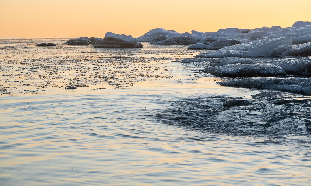
Especially by the shores there was not much to see. A near island, a bit of ice, some rocks and and a white sea merging seamlessly into the white sky.