New friends Tromsø
This article is part of the series “2021-07: Back in Tromsø”.
New friends Tromsø is a Facebook group where people new to Tromsø meet. Some may be here only for couple of days while others may have moved here and look for tips and other people.
Finally I had time to join an event that one of the group members organised, a hike to Gutta på skauen in Tromsdalen. Since I didn’t know this place I’ll can add the hike to my project #onceaweek.
As the day before the weather was quite warm but cloudy and rainy. I just took some photos with my iPhone since the focus was on get to know other people not on taking pictures. As usual I was quite early at the meeting point in town and waited in the rain for other people to come.


Eight people we were in total – from five, six different countries. We went to Tromsøbrua and used this large bridge the cross the Tromsøysund strait and reach the mainland.
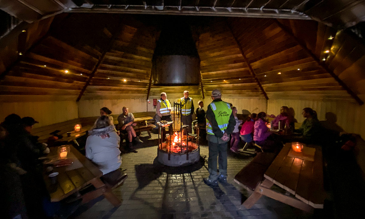
On the mainland we had four more km to hike – first through the urban neighbourhood Tromsdalen, then on smaller roads through the forestry valley of the same name. And then we reached Gutta på skauen which means “guys in the wood”. These guys – all older than me – provided coffee and cinnamon buns. You do not pay per coffee or bun but donate an amount of money that you consider suitable.


There we sat for an hour or such while rainfall outside increased. Then we hiked back another parallel path (the nicer way), crossed the bridge again, asked a bypassed to take a picture of us and then started to split up. After another stop in the café Koselig I walked home. There are not many busses on Sundays.


There were a lot of water puddles on my way back, some of them quite deep. The last photo however is not rainwater but the sea. When the tide is quite high it covers one of the footpaths on the seashore. I managed with rubber boots this time but it was close.
No, this tour was not demanding but anyhow it was 14–15 km in total. So – motion: check! Meeting nice people: check! Having a good day: check!
Thank you, E. for organising.