Scotland NC500 – day 8 – a hidden pass, palm trees, and a famous castle
This article is part of the series “2025-10: Northern Scotland”.
October 20
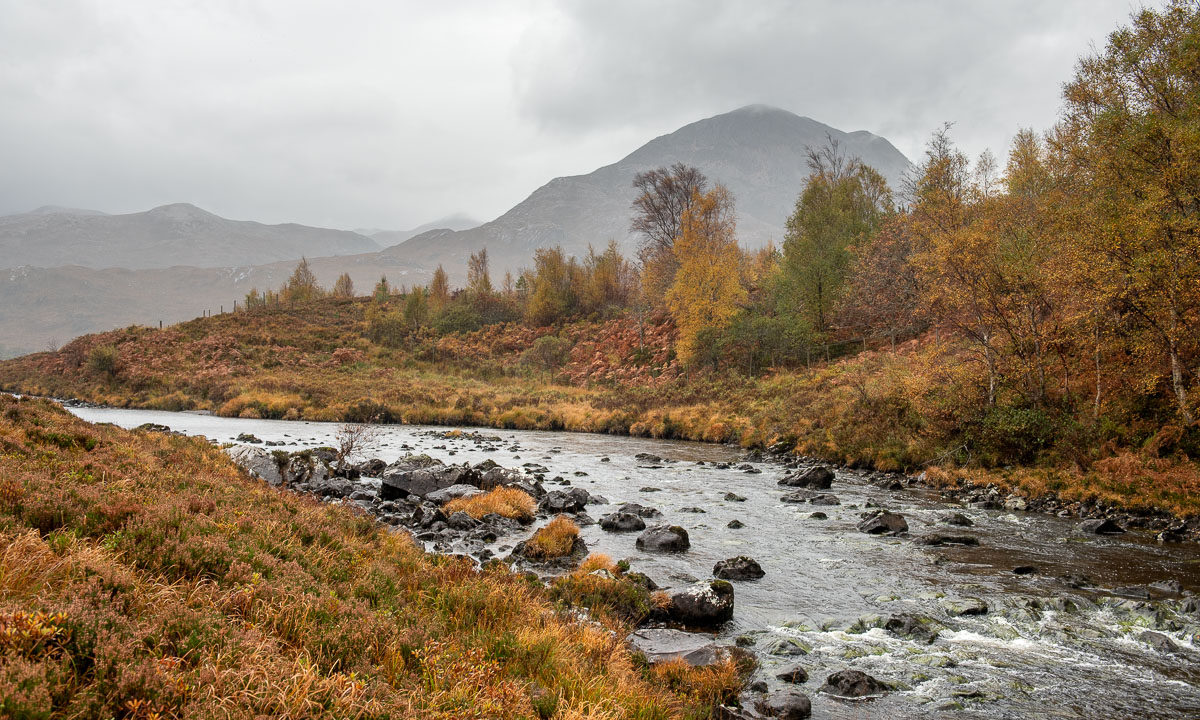
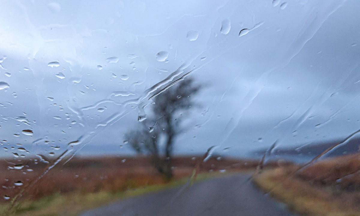
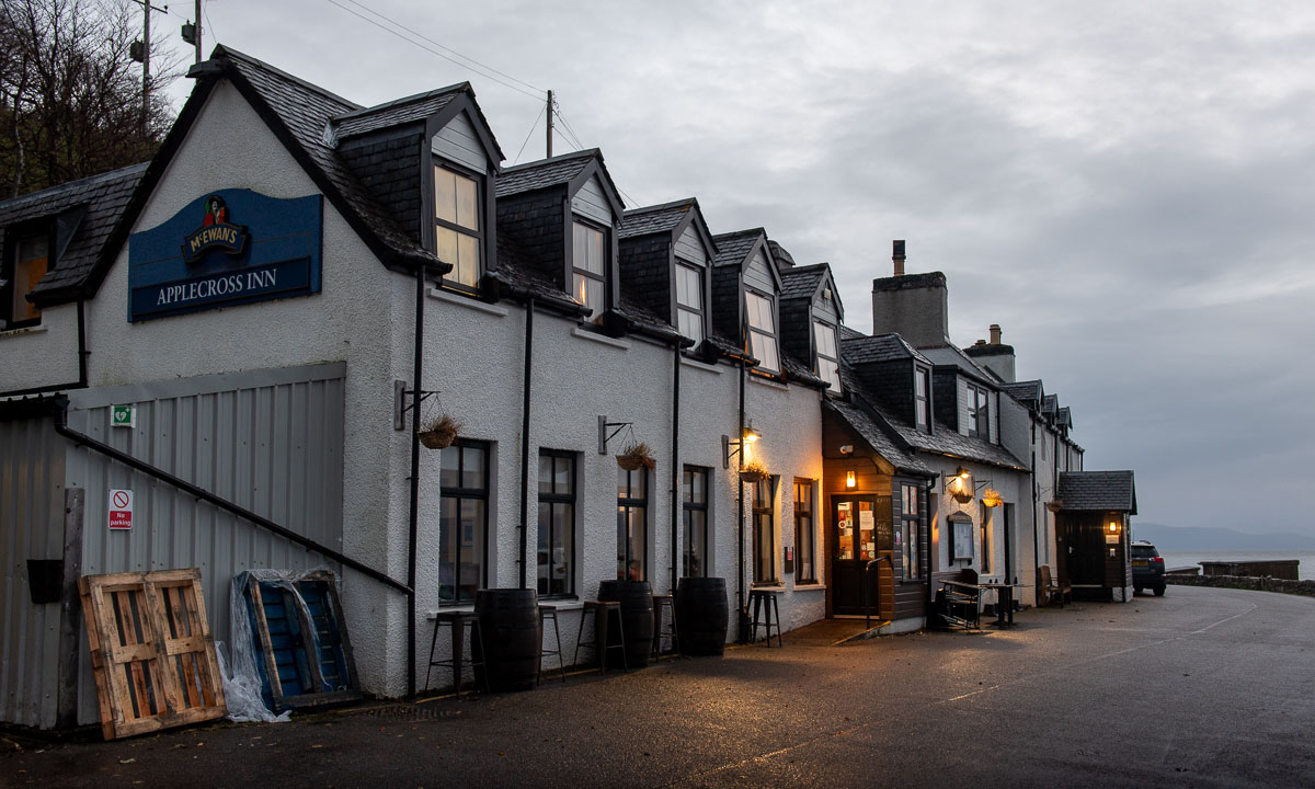
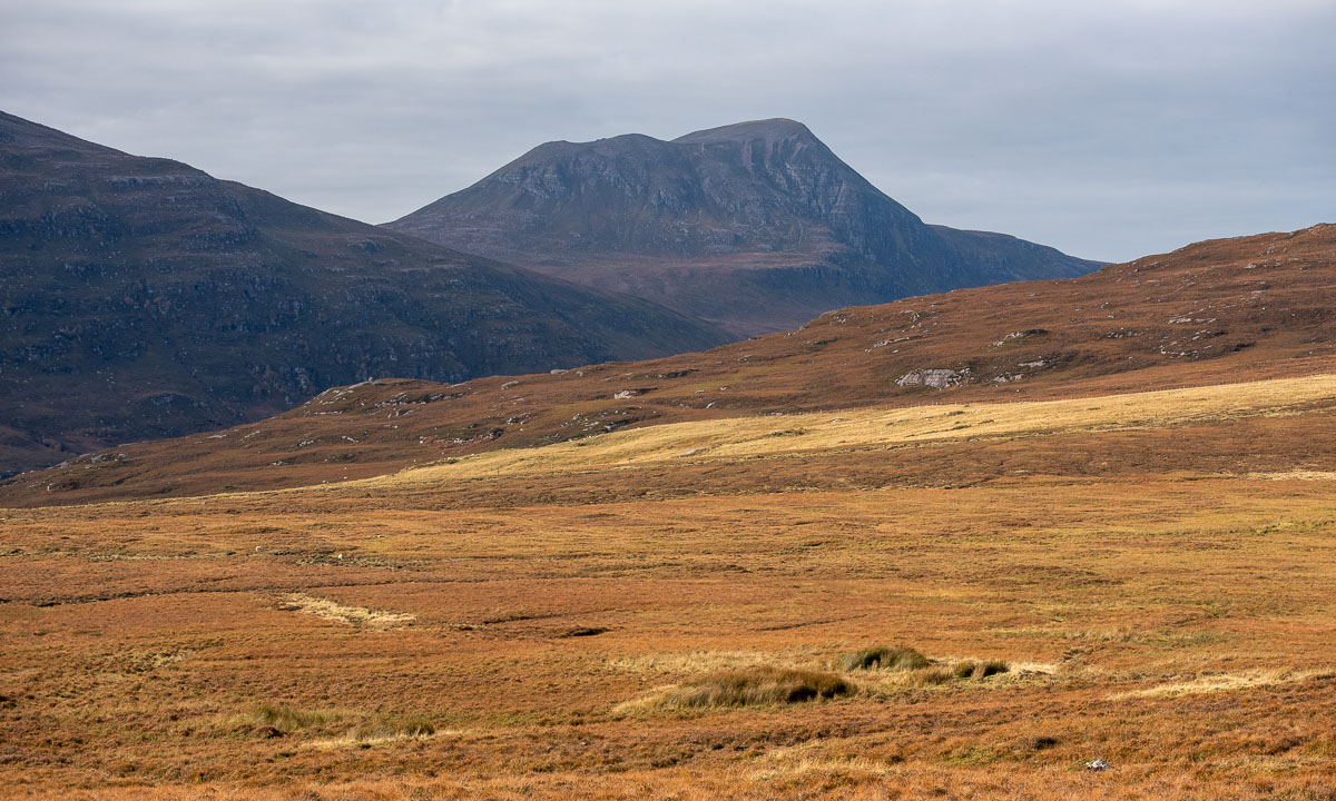
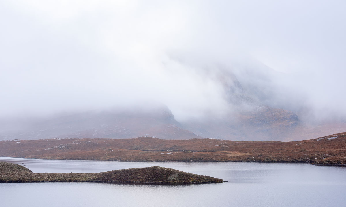
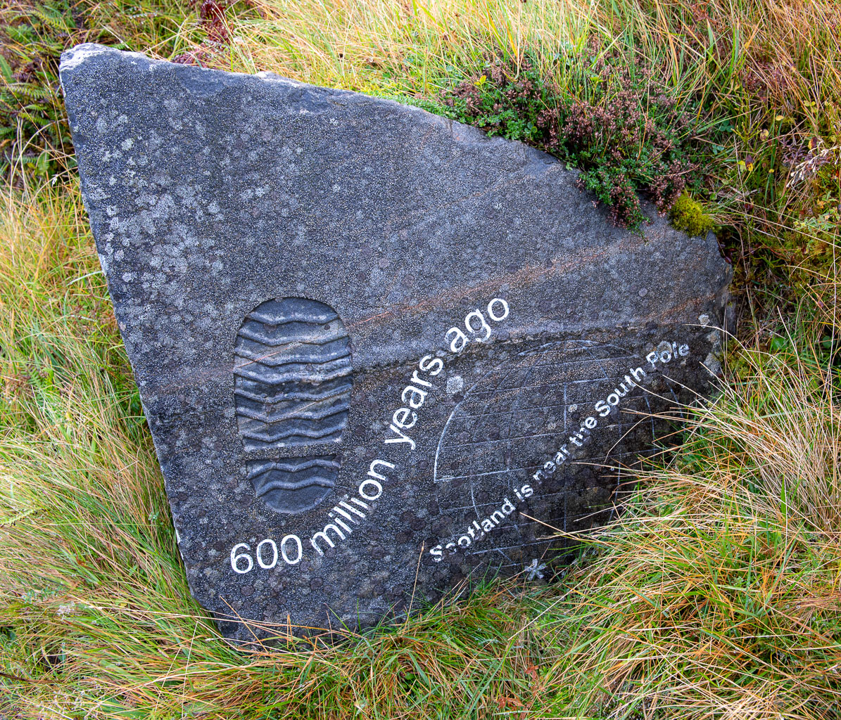
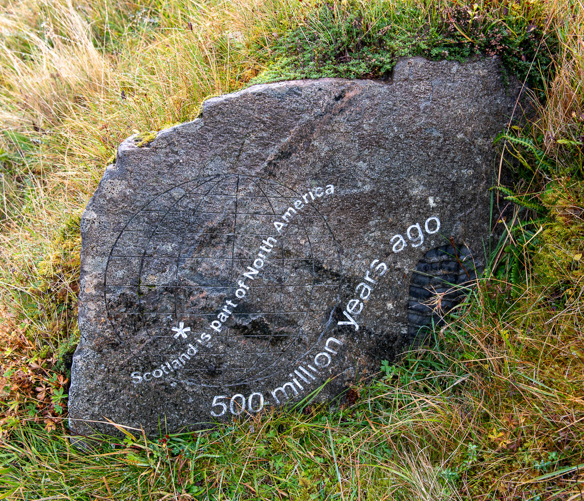
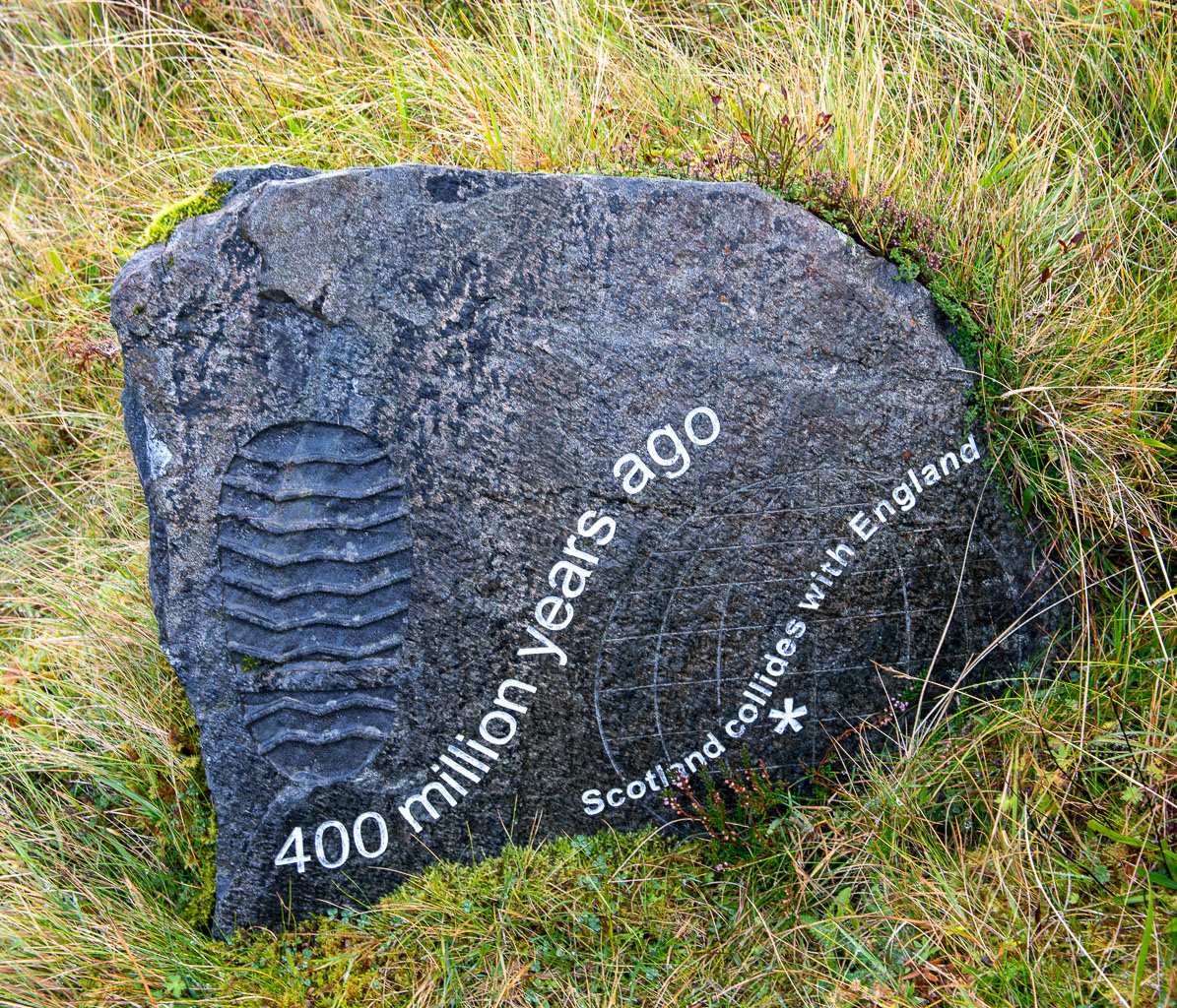
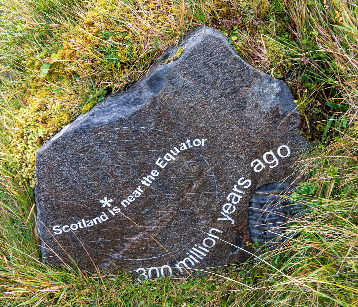
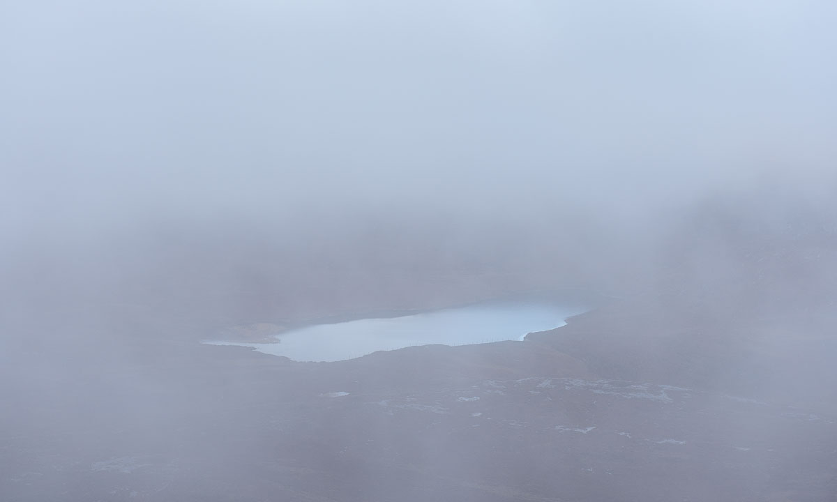
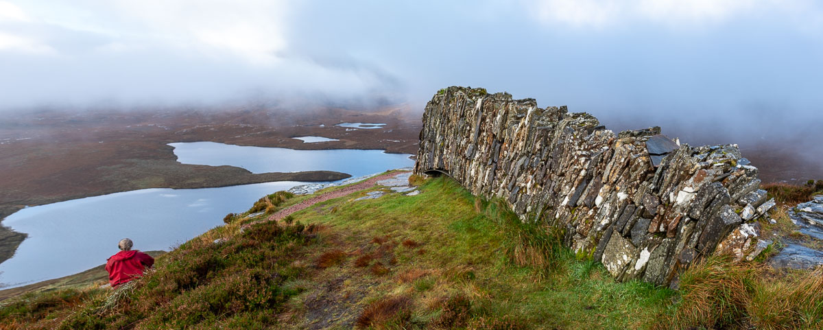
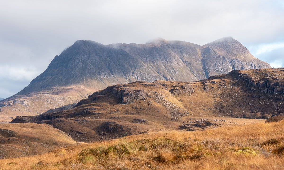
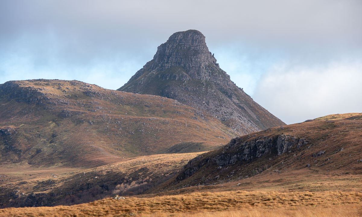
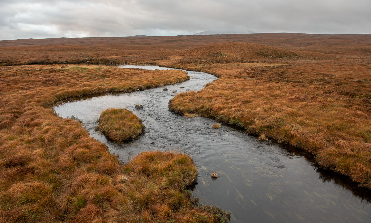
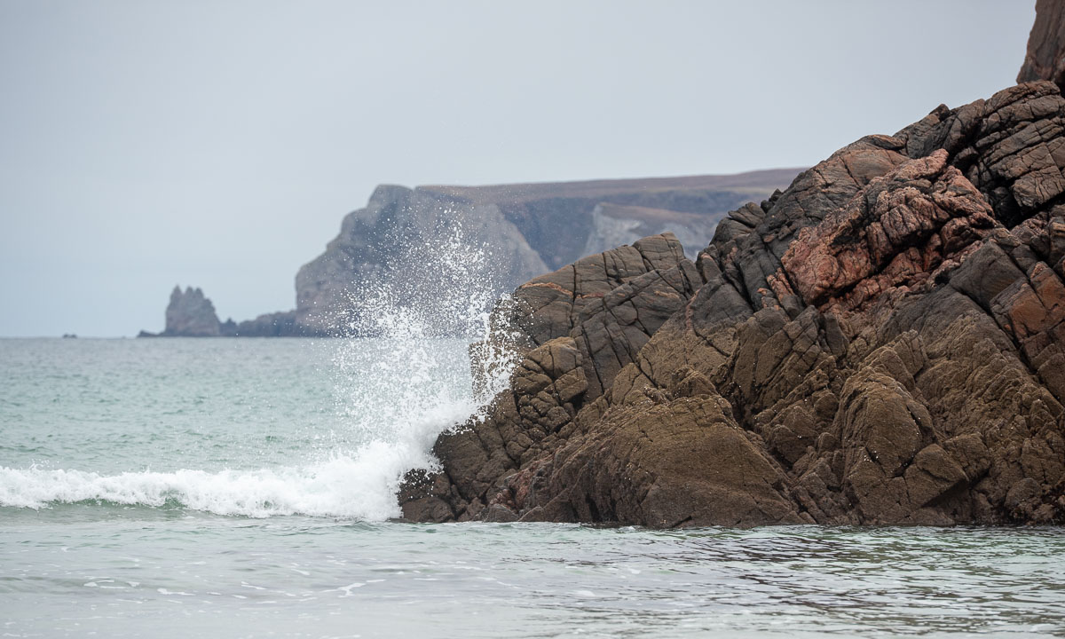
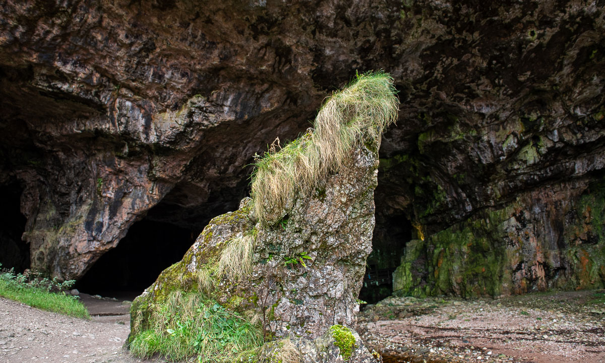
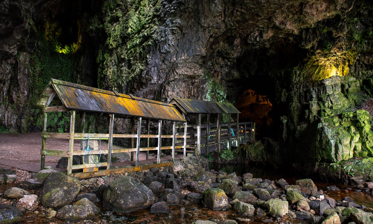
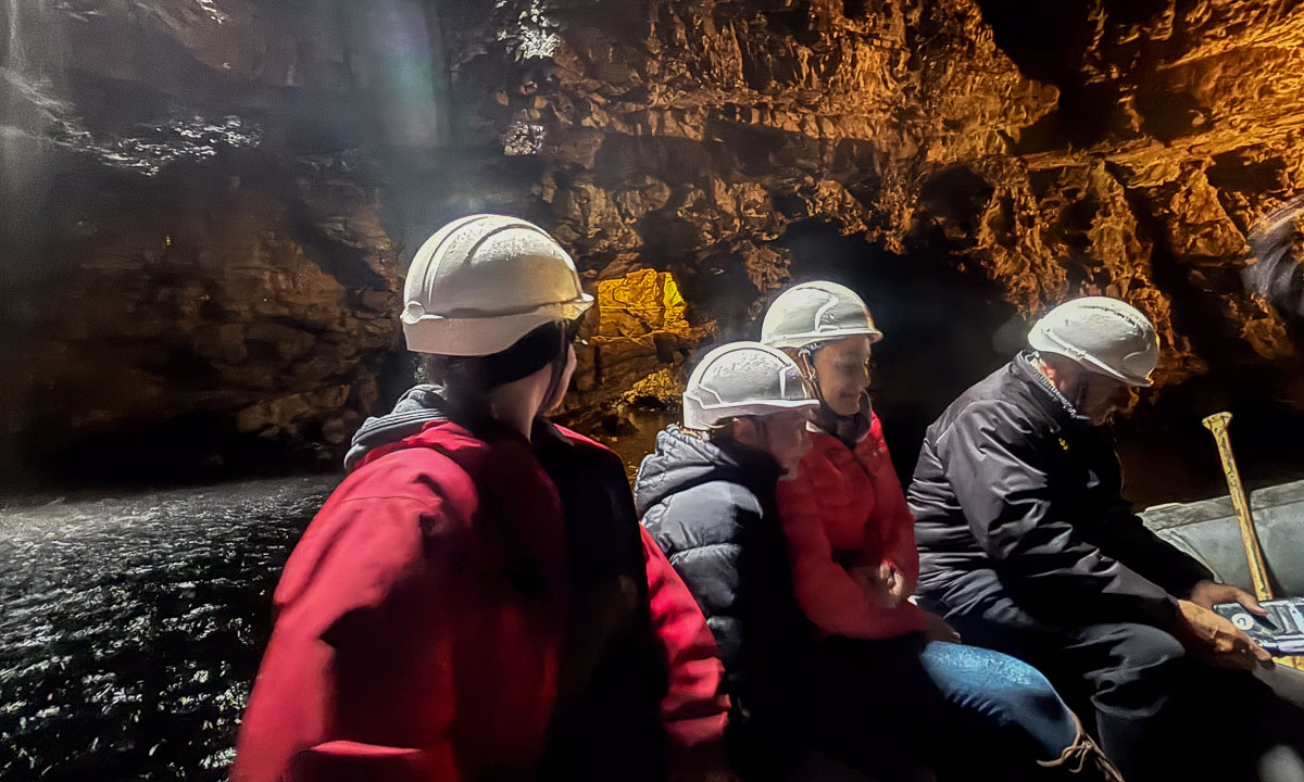
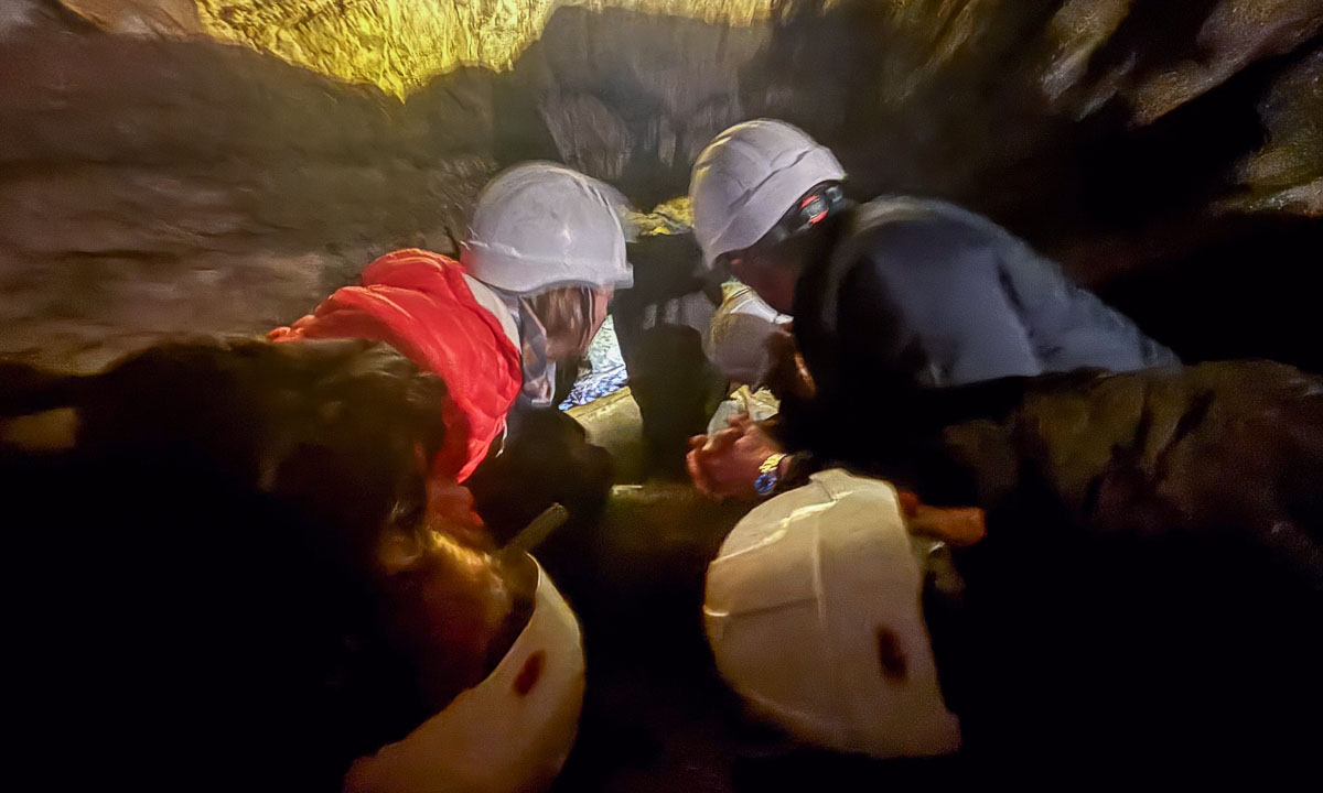
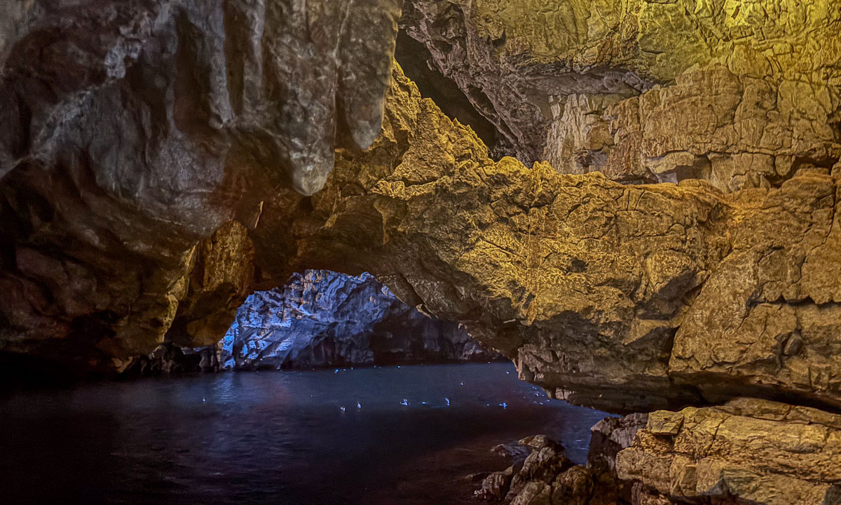
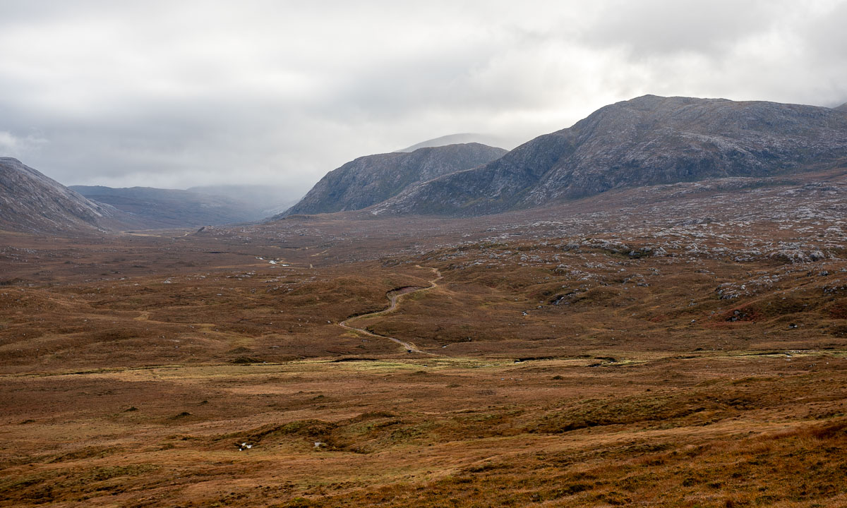
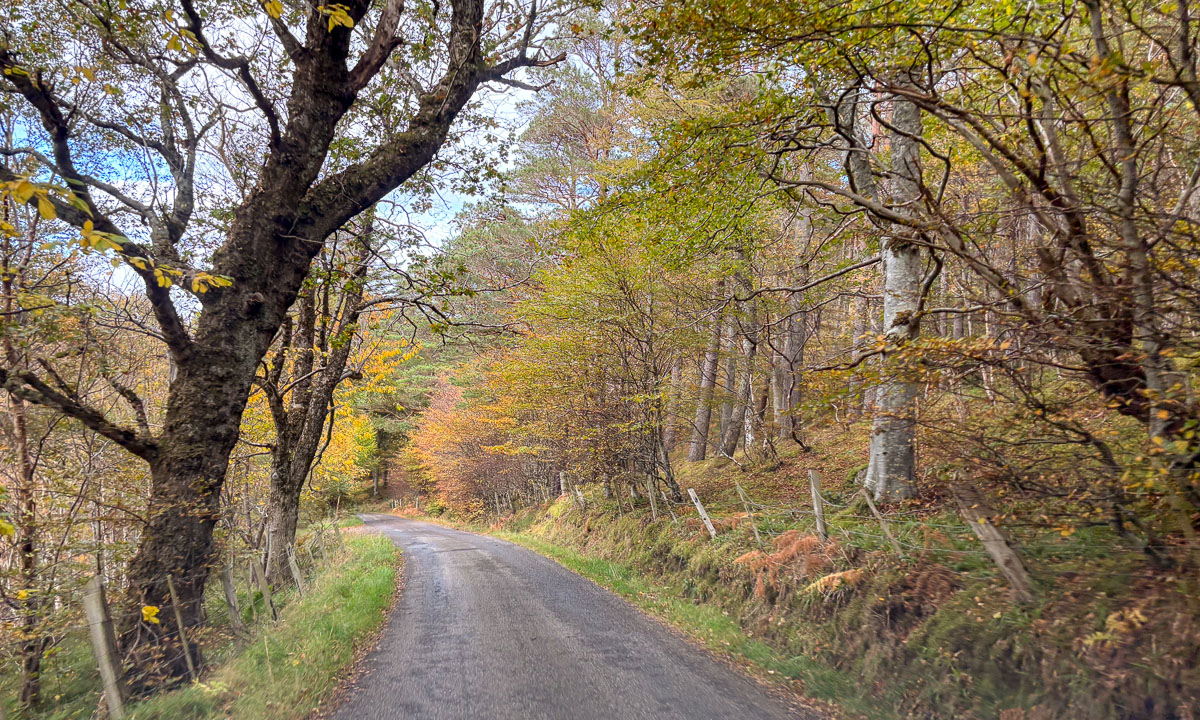
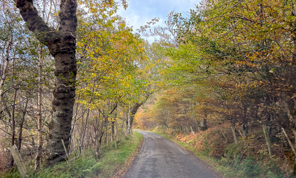
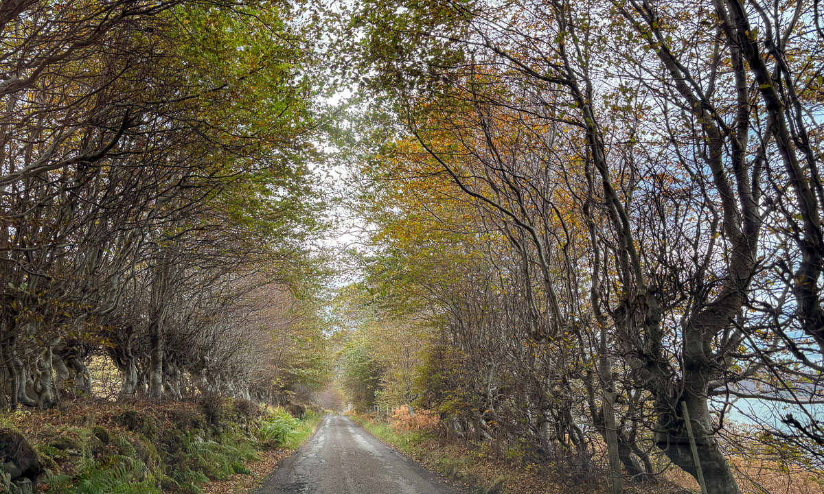
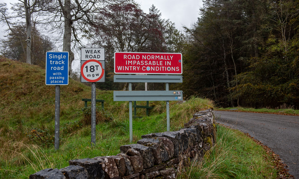
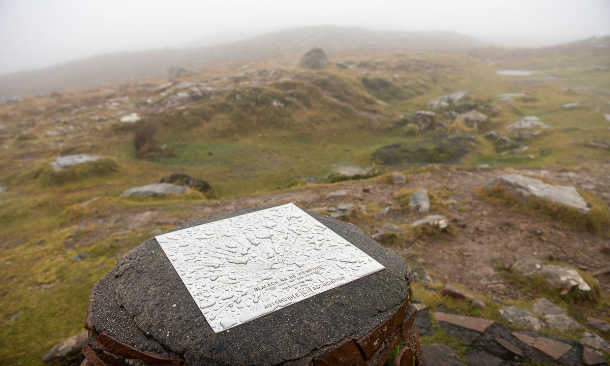
Today is the eighth day of our road trip in Northern Scotland, which my wife and I are taking together. Last night we slept in a hostel near Applecross. Now we want to take the road over Bealach na Bà pass, that is known for its hairpin bends and scenic views. Unfortunately it is still raining and the clouds are low. The beginning of the road is marked with several warning signs, but Annika can drive single track roads and we do not have wintry conditions, so we can take the road. But clouds we have. Soon we are in the middle of them. It is raining and the visibility is pretty bad. And so is the view of the hairpin turns from the top of the pass. Well, you cannot have everything.


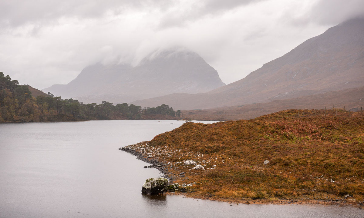
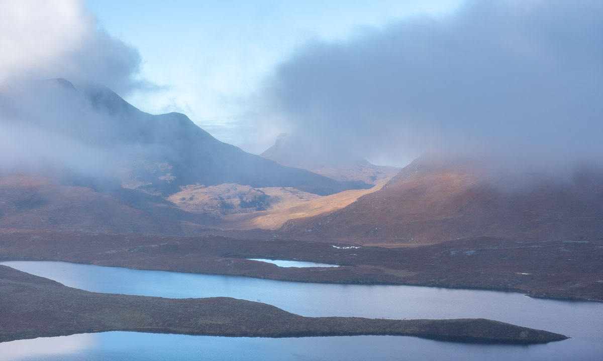
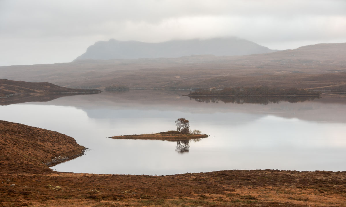
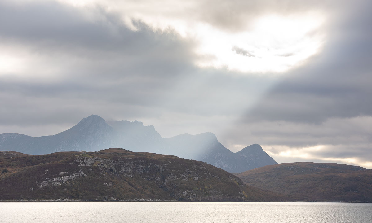
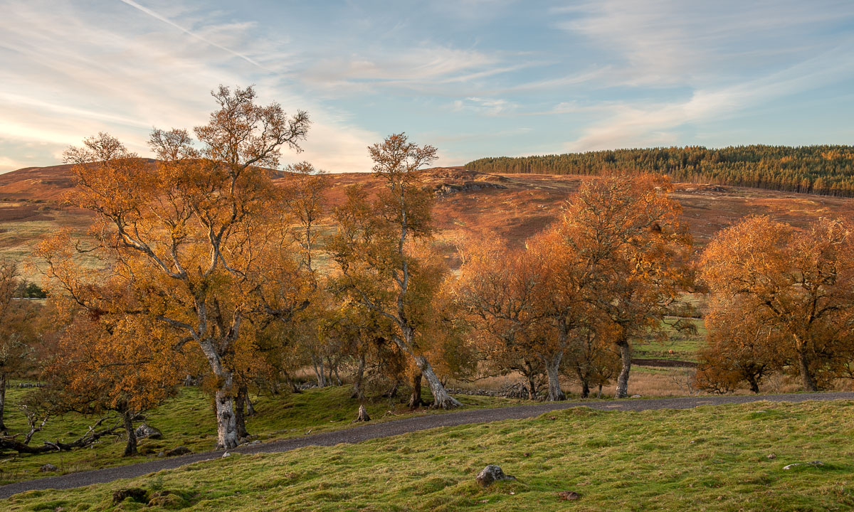
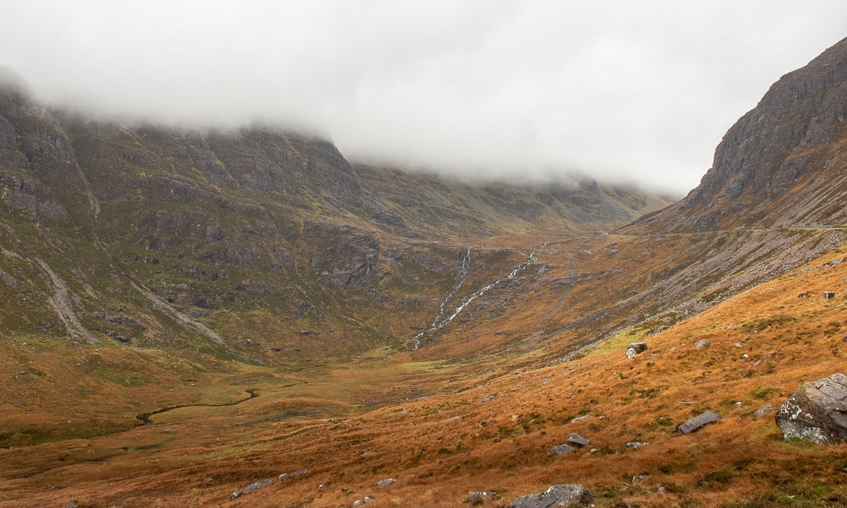
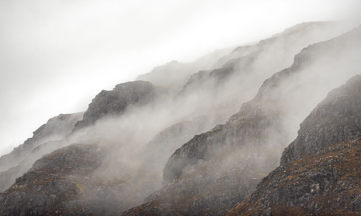
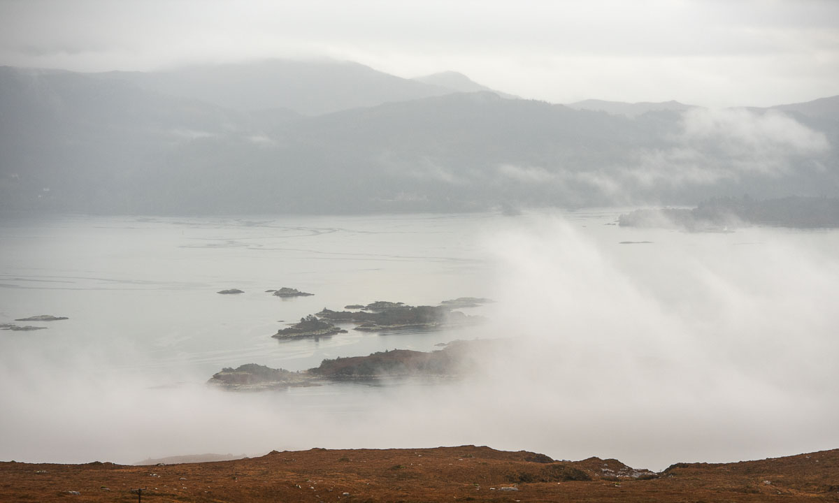
We descend and slowly visibility improves. When we look back we can see the colourful mountain scenery with the summits in the clouds. In front of us we see the other clouds floating down to the sea loch Loch Kishorn, where they start hiding the coastal islands.
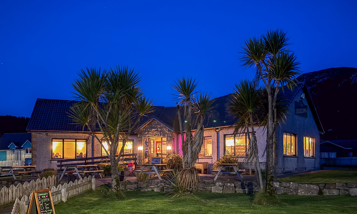
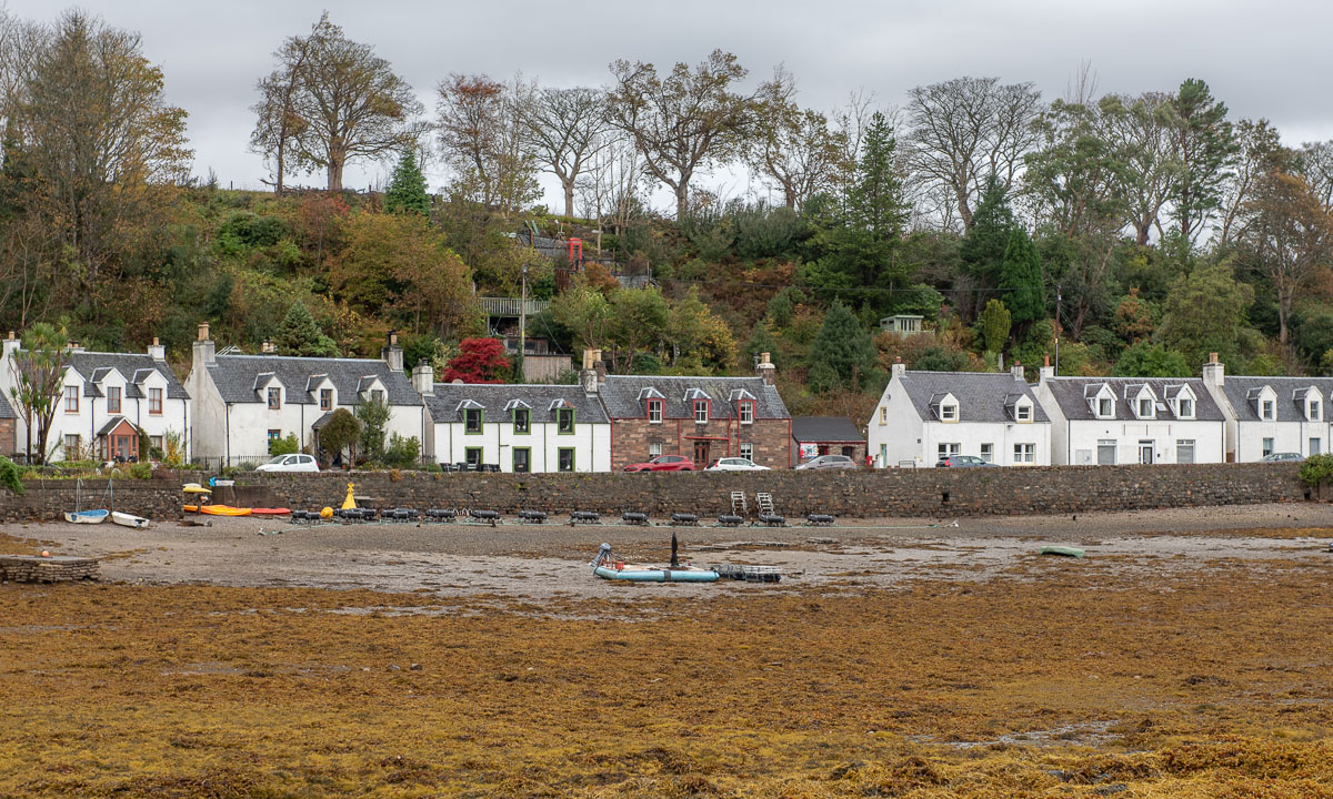
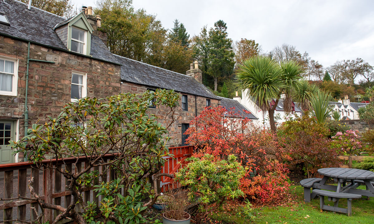
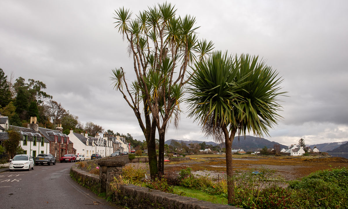
Two hours later we arrive in Plockton, a beautiful village by the sea. The climate is particularly mild, so that palm trees can grow here. An older chap I meet in the street tells me that he has different sorts of palms, a eucalyptus tree and other trees I never heard of in his garden.
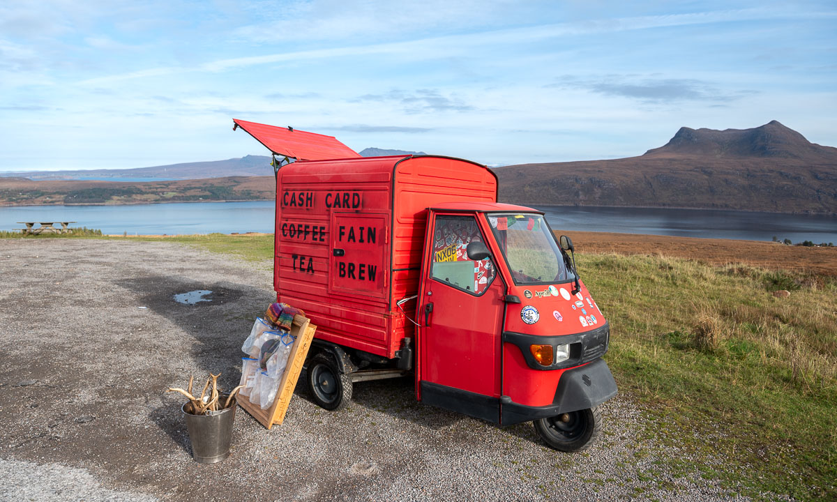
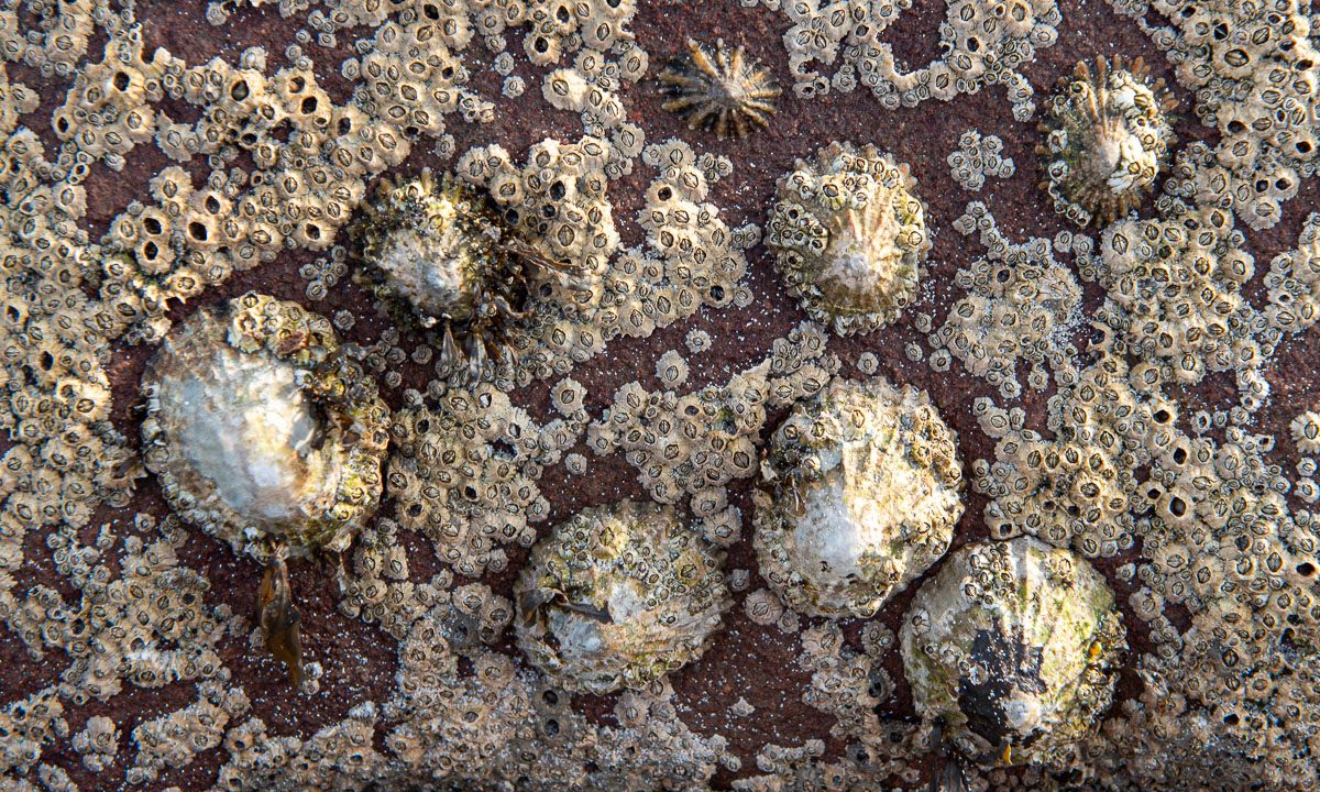
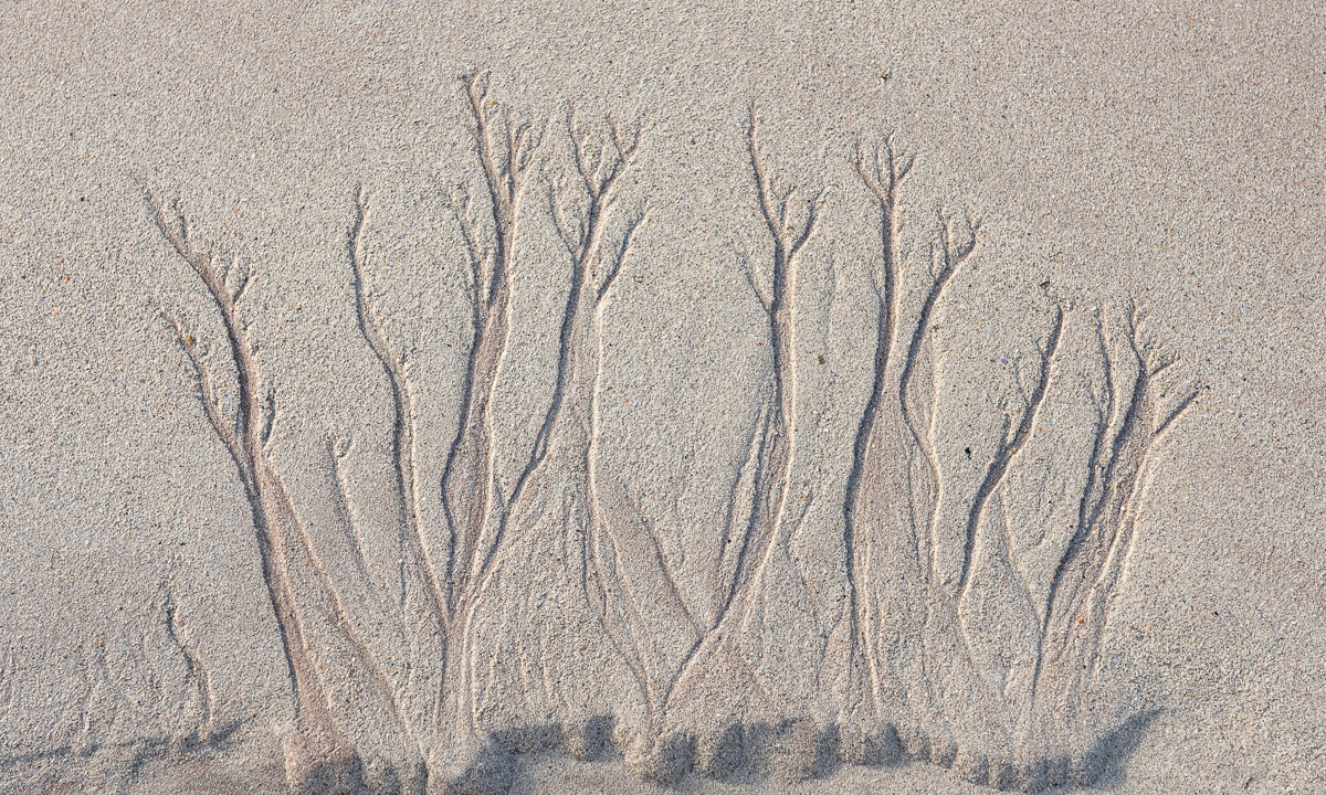
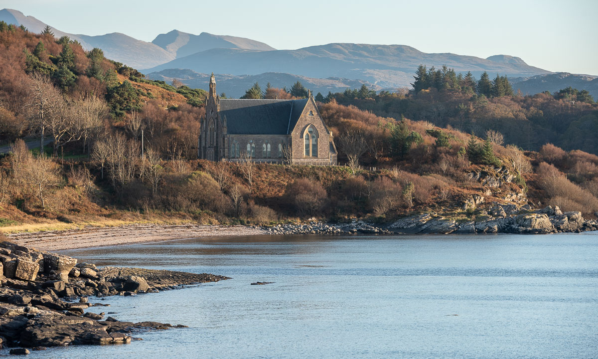
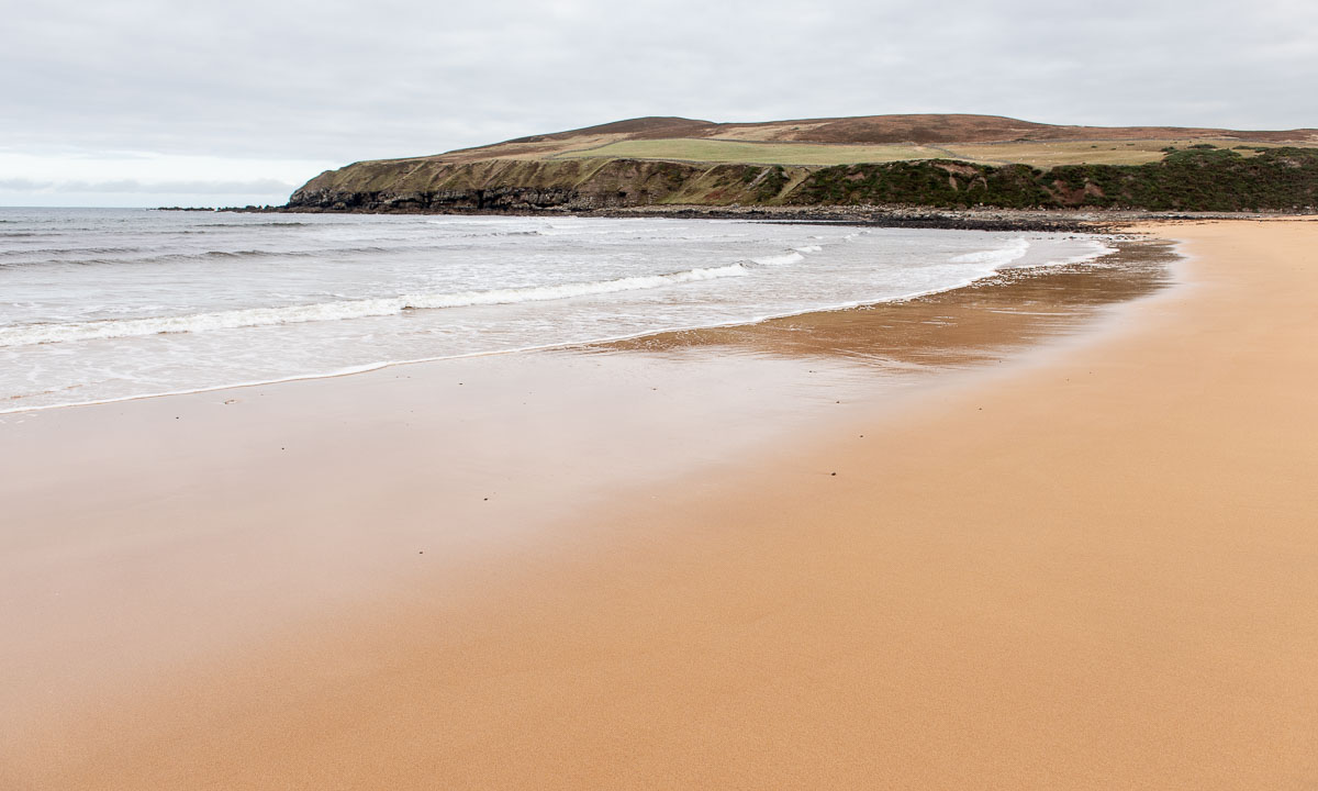
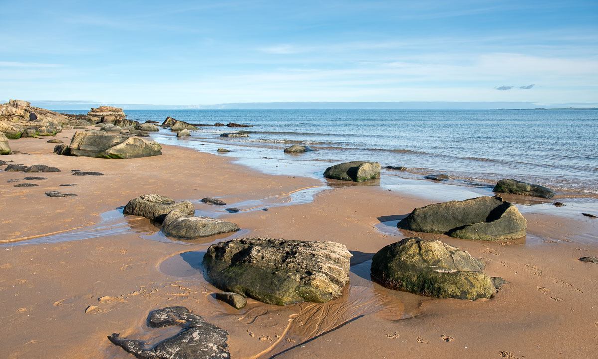
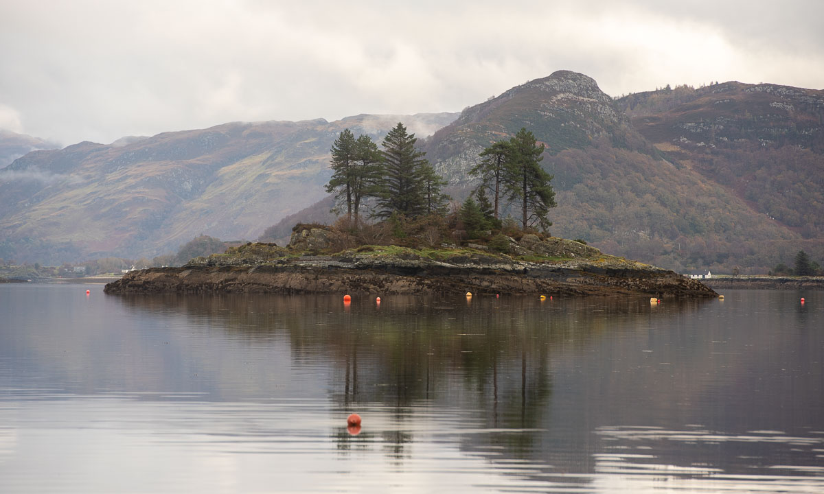
It is low tide. Some fisher boats lie in the mud and it is possible to go to an island nearby. From the sandy tidal flat you can see the long row of houses by the seaside – sea view for everyone. We spend an hour and a half here to visit the craft fair, to go to the island, to pet a cat, to take photos and to find a geocache. A charming place with views of the sea, an island called Sgeir Bhuidhe, Duncraig Castle, hills, and steep mountains.


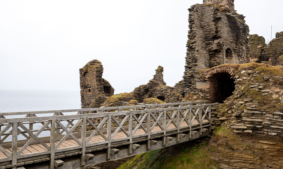
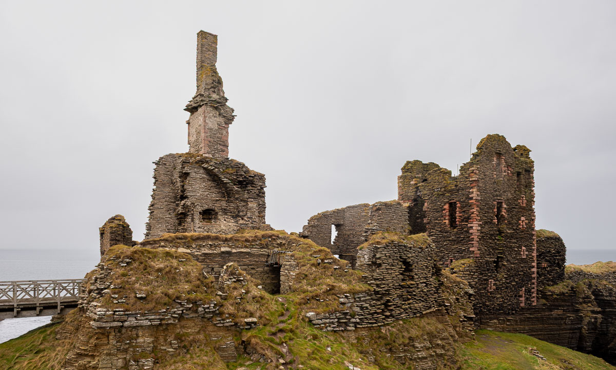
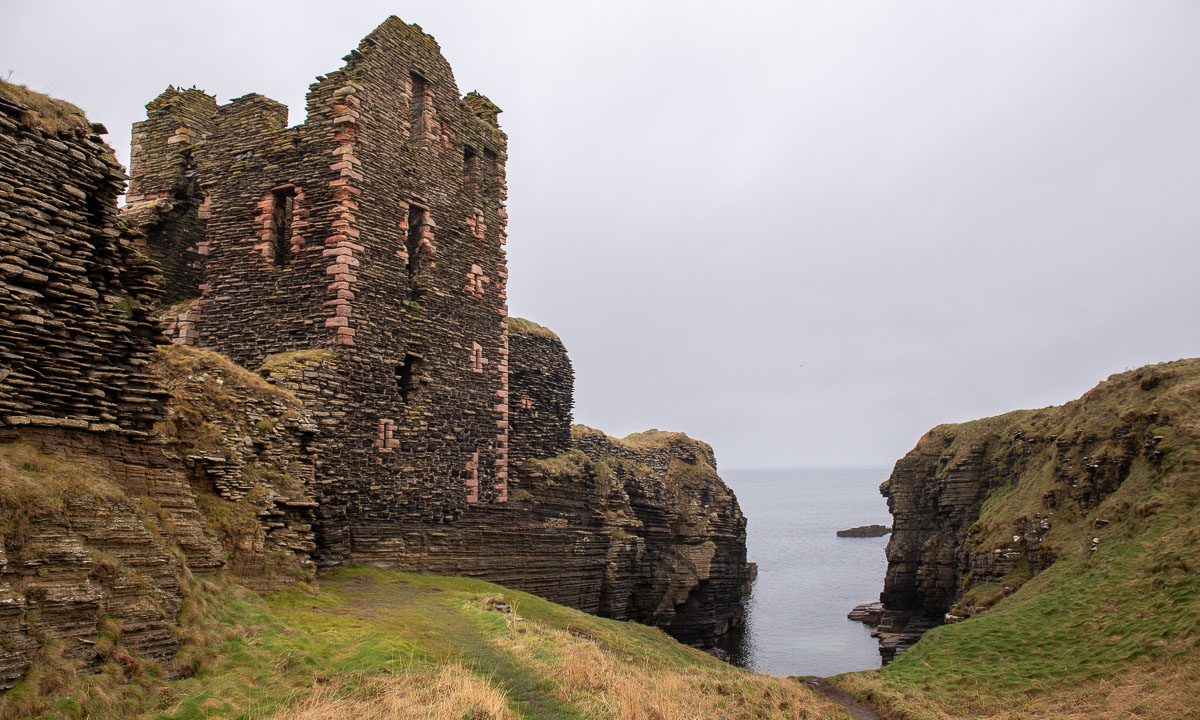
Finally we continue our tour. Next stop: Eilean Donan Castle. This castle is regarded one of the most photographed landmarks in Scotland, and it’s very popular with tourists. Visiting the interior costs money, and there’s even a charge to cross the bridge, so I take photos from the outside. It is not easy to take photos without too many tourists in the shot.


From Eilean Donan Castle it is not far to the An Spiris Accommodation at Dundreggan Rewilding Centre, our last overnight stay on our road trip. My highlight of the evening is the toddler in the large common room singing “Do-Re-Mi” from the Sound of Music.