Jämtland tour 22 – the trail
This article is part of the series “2022-08: Jämtland and Trøndelag”.

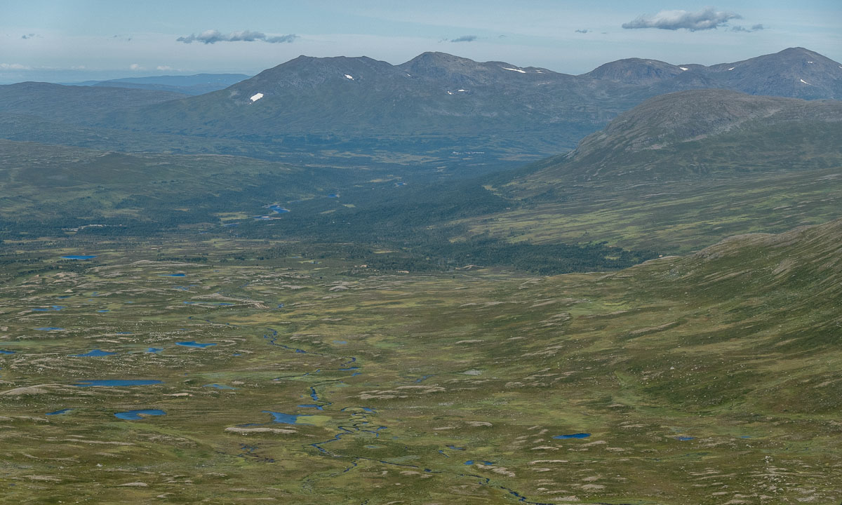
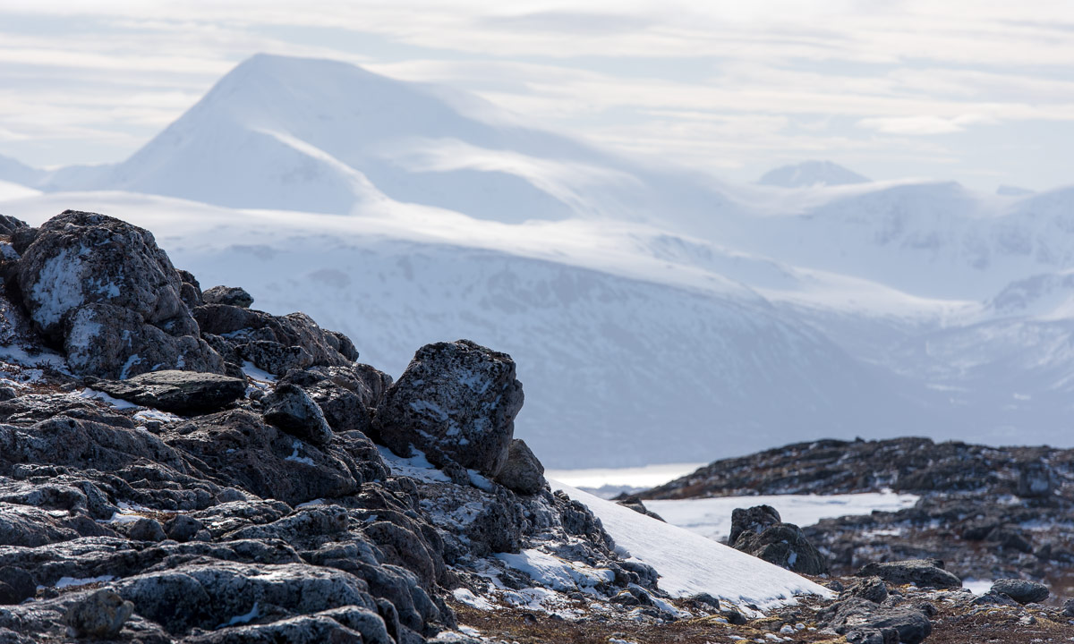
On the photo above you can see the trail from Blåhammaren to Storulvån. It is in fact two trails together: the winter trail that is marked with red crosses and the summer trail that mostly is marked with stones with a large dot of red paint on it. We didn’t follow this trail I only took the photo because of the beautiful evening colours.
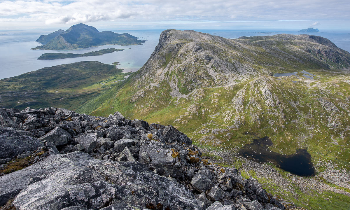
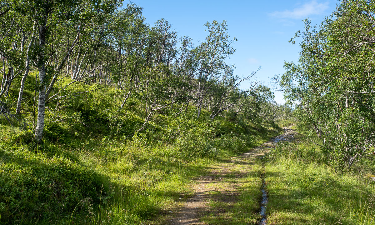
Many parts of the trail are just like this. They lead through heather, grass, crowberries, and dwarf birches. Other parts of the trail lead over hills, across rock fields, through forests and sometimes over a reindeer fence.


This is when the trail is dry. But often it isn’t. The trail can just be very wet of last nights rain as we had it on our third day.

The trail can be boardwalks that lead over swampy area or bogs. Some of them may be under the water which makes them rather slippery.


And then there are rivers, streams and brooks. Some of them are crossed by a bridge. Some bridges are big, some are – well – small, simple, and pragmatic.


And then there are rivers that you have to ford. I ’m used to hiking in rubber boots and so I could splash through while my fellow hikers had to switch to sandals and wade through the ice cold water. Already Douglas Adams said: You have to know where your towel is.


And then there is mud. It can be slippery and sometimes quite deep, especially right before or after a plank. When you have a plank.
Especially the first day trail section Storvallen—Blåhammaren was in an extremely poor shape. The others went around all these muddy patches while I – hey, I have rubber boots! – just continued straight ahead. But then at one point it happened. I made a step ahead and my right leg sank thigh deep into the mud. On the trail! Luckily Blåhammaren had a dry room.


But don’t be afraid, that’s not typical. Many sections of the trail look more like this:

How long the trail was? I don’t have the exact numbers but I think we hiked round about 135 km on 8 days, so round 17 km a day.