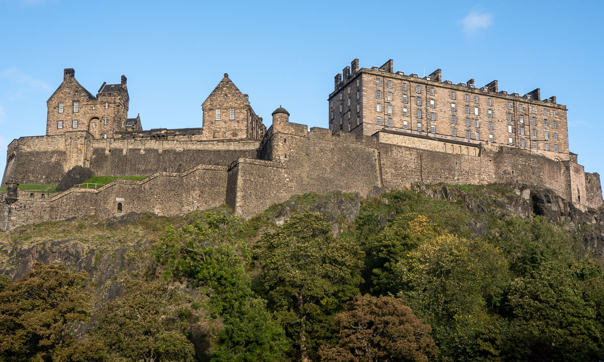
Autumn tour to the glacier Steindalsbreen
After being abroad in Germany, “home home” in Sweden and on vacation in the Netherlands for almost a month I have returned to Tromsø, my “work home” one week ago. Time to work again for the Norwegian Polar Institute but not only that …
Some days ago my colleague Marika asked me if we should go out for a hike to the glacier Steindalsbreen in the weekend. I knew the place from hearsay but never have been there. I gladly accepted – I like hiking with good company. Yesterday on Sunday we met at 7 o’clock and off we went. First by car.
Car trip
Steindalen is on the Lyngen peninsula and round about 100 km away. According to Google it takes 100 minutes but we stopped several times, either to take pictures of the reflections in the fjord or the curious fox beside the road.


Through the forest
After the car was parked we started our tourat 9:25. The birch and alder trees were clad in autumnal colours. The path led westwards through the forest along a small mountain river.


To the cabin
After the path going up and down it led nearer to the river. We passed some moraines – witnessed from the ice age – and spotted a waterfall falling vertically down from a mountain. Then the cabin Steindalshytte came into view. There is a wooden bridge to cross one of the rivers.


Through the U-shaped valley
We followed an inflow of the stream and soon the valley opened more and more. And there it was – still in the distance – the glacier!


It gets rocky
The path went further up and the ground started go get rockier and we left the delta like wetlands behind. But still there were many crouching plants present, many of them in the brightest autumnal colours.


Approaching the glacier
A hill and the glacier Steindalsbreen came in full view, another hill also the glacial lake in the front. Quite depressing were the signs that marked the retreat of the glacier. Oh – so many hundred metres in so few years ;-(


Nearer and nearer …
The first photos Marika and I took from the edge of the glacial lake. Then we followed a path to the right that brought us nearer to the ice. Here we walked on gravel covered ice. I found a hole, perhaps 80 cm in diameter and 150 cm deep.


On the mud flats
As usual I hiked with rubber boots and so I could walk on the sandy mudflats right in front of the glacier. Oh, so beautiful the turquoise blocks of ice!


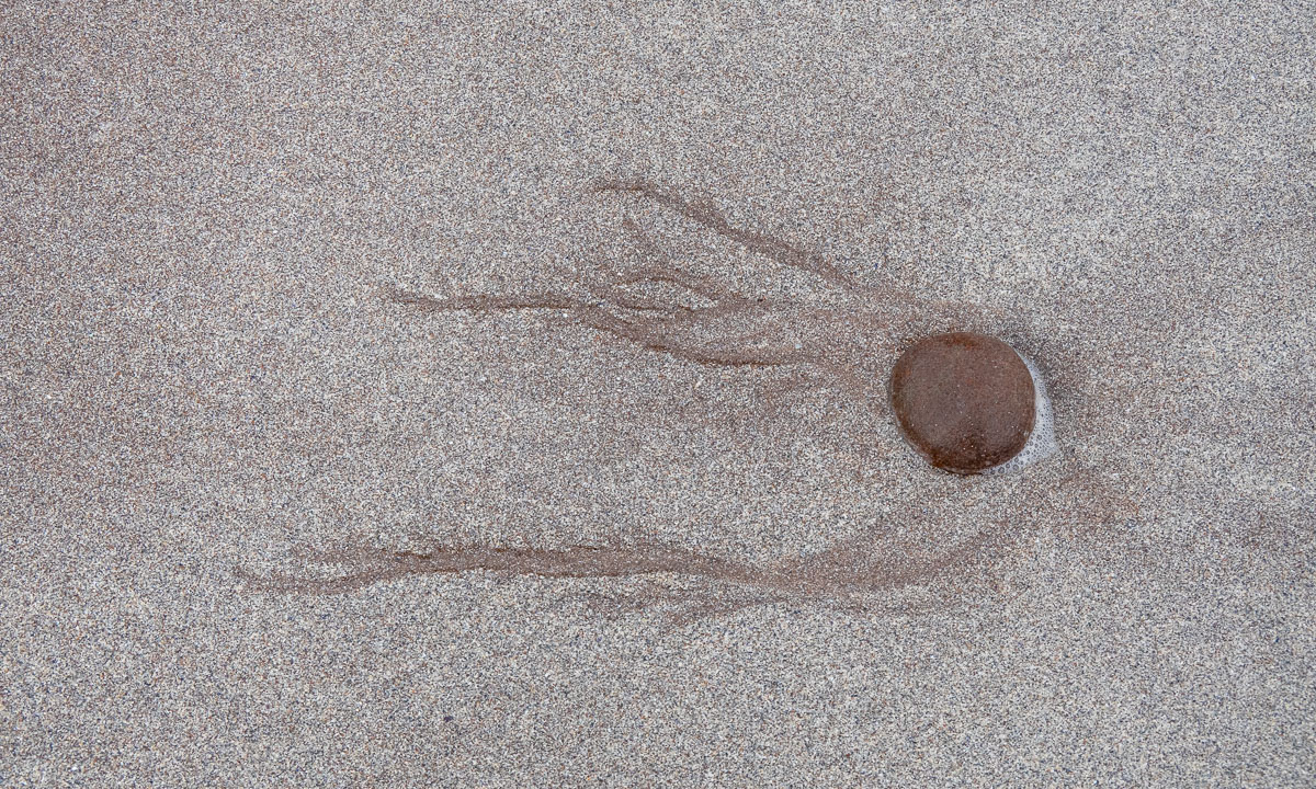
Mud, ice, and water
I also took some photos of the ground. Was it sand? Hard mud? Ice? Sometimes probably all the three.


Then I looked back to the lake. Hard to imagine that we hiked through autumnal forests some hours ago. This landscape looks eternal somehow although it is the opposite: very fragile and threatened by the global warming.


Heading back
After a meal break by a large rock it was time to head back. The times of midnight sun and bright nights are over and at 7 o’clock in the evening it would be dark. Just some more photos from our way back.


After round eight hours we were back at my car. What I great tour!
Takk for turen, Marika!