This article is part of the series
“2018-08: Iceland”.
Icelandic tourists come from all over the world. They are young or old, rich or not so rich (best not to be poor, because Iceland is expensive), hip or square, but most of them have one thing in common: their hired car.
As long as you do not choose the three-day ferry crossing from Hirtshals in Denmark or go on a cruise you will arrive in Iceland by plane. Since Iceland has limited public transport, it’s best to hire a car. Many tourists do. Some models are quite popular as for example the tiny Hyundai i10 or the ever-present Dacia Duster with 4WD.
There are however roads in Iceland, that you may not (and cannot) drive with such cars, the so called F-roads. F stands for Fjall, the Icelandic word for mountain. The challenge of these F-roads is however less the roadway itself but the river crossings. So you may not manage most F-roads with your average “pick-up-the-kids-from-school”-SUV.
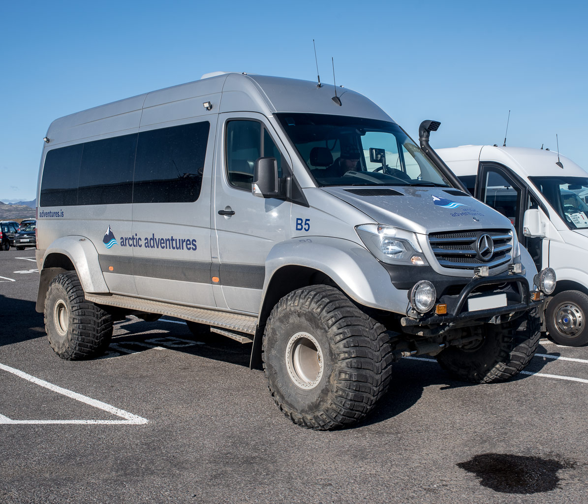
That’s were the real off-road vehicles come into play. I saw a lot of of them, some with Icelandic registration but many coming from Germany, Switzerland or other countries. Some are classical off-roaders as the Land Rover Defender, while others look more like armoured military vehicles. Some of them have foldable roof top tents, some are buses used for touristic day trips.
I have to admit, that I like such cars but I definitely have no use for them. My Subaru Outback probably never will ford rivers, but I’m sure that it consumes less than half the gasoline than even the smallest of the off-road vehicles shown above.