View from Odenskrapan

I’ve always loved standing on viewpoints, mountain tops or roofs of high buildings. Just to be able to look far. My apartment in Munich – an expensive town, when it comes to accommodation – had just one room, but a big roof terrace, where I even could see a tiny bit of the alps. You have to prioritise …

Yesterday we had a party with the Skellefteå Kammarkör – the local chamber choir. We were invited by K., who has an apartment in the new built Odenskrapan, a twelve-storey house in the center of Skellefteå. As the weather was fine, we celebrated on the huge roof terrace, where you have an awesome view over the whole city.

I never looked at Skellefteå like this – from high above – and of course I took some pictures (the first one is a panorama made of three photos).

Since I may come to this fine place again – I already have some ideas in mind – these probably won’t be the last pictures of Skellefteå from high above.

Second kayak tour 2016

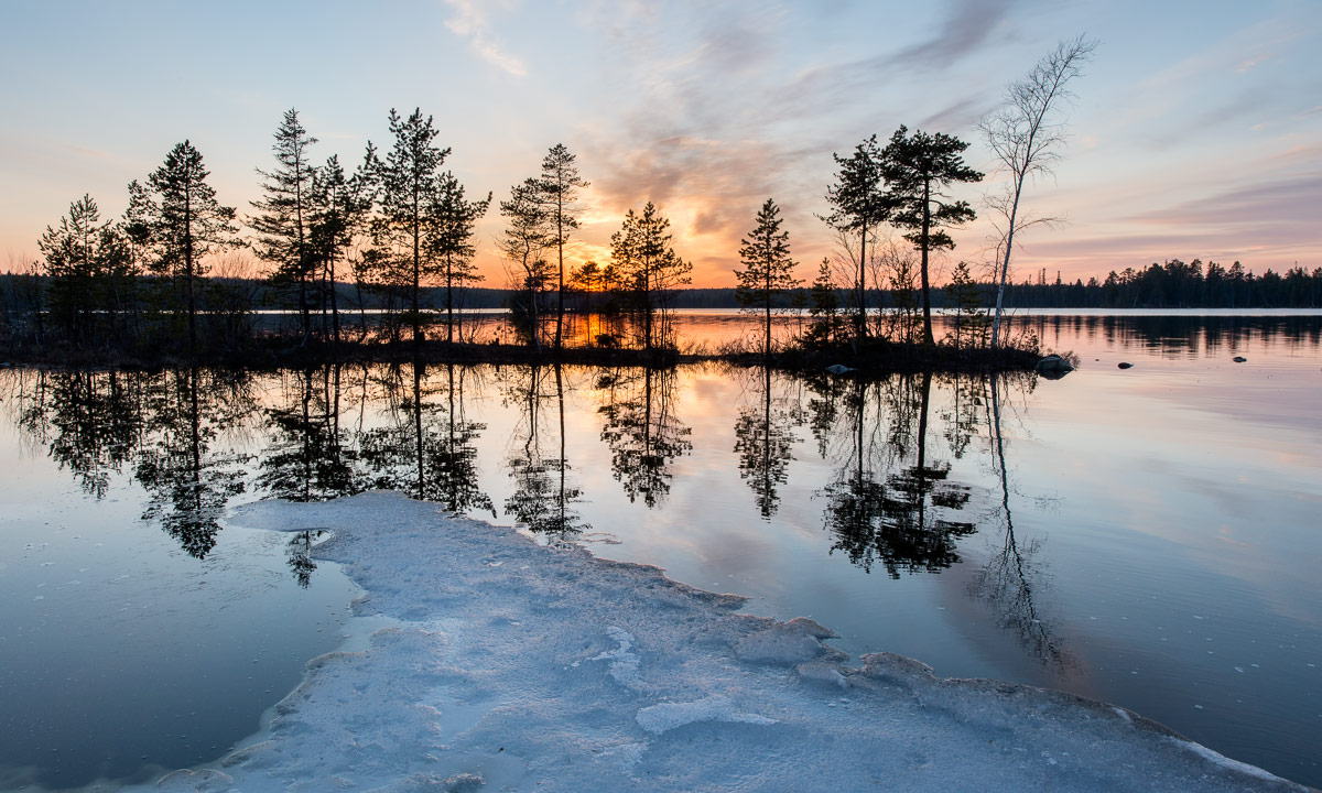
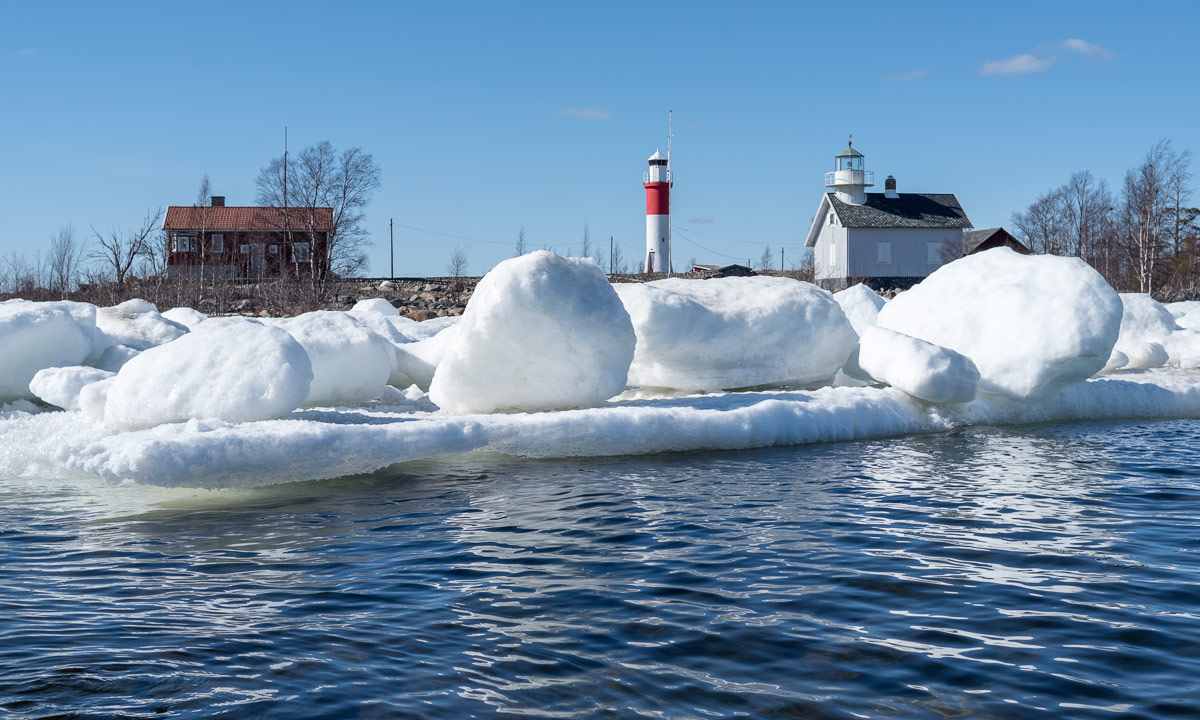
What a contrast to the first kayak tour six weeks ago: Last time dry suit, today t-shirt. Last time between ice floes, today birches with fresh leaves. Last time Baltic Sea, today the river Skellefteälven.

I put my kayak onto the new two-wheeled dolly (the old one broke down) and dragged it to the small bay Killingörviken, where I started my today’s tour. First I paddled along the harbour, then I turned right into the channel Kejsar Ludvigs Kanal. It always reminds me a bit of the “Ruhrgebiet” in Western Germany, where I lived for eleven years. After the last tunnel waited the Sörfjärden.

There I left harbour and industry behind and considered, where to go. The tour into the Nördfjärden wan, since it was windier than expected and I didn’t want to cross the Sörfjärden. So I paddeled upstream.

After a while the peninsula Örviken to my left ended. That’s where the Nördfjärden starts. I knew the first part and paddled to one of the rotten wooden piers. Luckily I realised that there were also under water parts – there were almost everywhere. I slowed down to avoid a collision with one of the big rusty underwater-nails. Finally I came to one of the four old platforms that probably formed an old pier, too – many, many years ago.

Now it was not far to the small island Gustavsgrönnan, where I made a short break. The whole shore is wet and covered with reeds, that lay flat on the ground.

I continued my tour by surrounding the island and paddled to the islands Stensgrönnan and Björnsholmen. To these islands you can drive by car and I was curious, if there would be a bridge or a tunnel to allow me continuing my trip.

First try Stensgrönnan: No chance! A solid dam connects the island to the main land.

Second try Björnsholmen: A small chance … . This island is connected to Stensgrönnan by bridge, but it looked really low. I didn’t believe I could manage to squeeze me underneath it until the end, but it worked. I had to bend my upper body onto the kayak and drag myself forward slowly by hand.

(Reminder to myself: This tour works only when water level is ±0. 20 cm more water and I wouldn’t fit under the bridge. 20 cm less and paddling could be hard due to the shallow water round the islands.)

Now I paddled downstream, which was not as much help as expected since the wind increased and came right from the front. But soon the bridge of the Sundgrundsleden was in view, the tiny cabins ashore and the dry dock with the read ship that I already saw on the way there.

I was a bit exhausted when I turned left to enter the bay Kurjoviken on the other side of Kallholmen. Now I was almost home, I just have to take the tiny tunnel “Lappstrupen” and I’m …

… well, that didn’t work. Due to roadworks this tunnel was completely blocked. Can I traverse the tunnel anyway? No. Do I want to walk and get the jetty? Neither. So I returned to the open water again and had another two kilometres against the wind until I entered the Kejsar Ludvigs Kanal again.

Now I headed back to my starting point. Another kilometer to go and I was onshore again. Phew – the last part was exhausting!

Today’s tour: Round 19 km total. (3.2 km extra because of the blocked tunnel Lappstrupen.)

Two images of the lake Snesviken

The heavy snowfall some days ago is history. Heavy rain melted the snow away. More and more ice on the lakes and the Baltic Sea disappears, too and only rests of snow and ice remind of the last winter.

Two images of the lake Snesviken – the first one shot yesterday, the second one made some hours ago.

Cold, clear and crisp

It’s mid-April and the civil twilight already starts round 4 o’clock. A quite stupid time to wake up, but it happened to me today. Normally I would roll over in my bed and continue sleeping, but the sky was so incredibly clear, that I just had to stand up and take the car to the coast.

As clear the sky was, as cold was the air: -8 °C. Time for gloves and down parka again. East from the peninsula Näsgrundet the Baltic Sea was still open – just as on Monday, when I opened the kayak season.

West from Näsgrundet however, the frost has frozen together the drifting ice floes and put a thin layer of fresh sea ice on the bay Kallholmsfjärden.

Now I have to get some more sleep, it’s still quite early.

Blue sky, blue sea – opening the kayak season

Finally the Baltic Sea round the peninsula Näsgrundet has been open and free of ice. Time to open the kayak season!

To Näsgrundet it’s just a 2.8 km walk from home. The kayak is tied onto a small two-wheeled dolly. I wear the same waistbelt, that I use for my pulka. Hereby I can walk and drag the kayak behind me without using my arms.

Soon I reached the peninsula and dragged the kayak onto the surrounding ice shield. After putting on my dry suit, lifejacket, neoprene boots, gloves and balaclava I was dressed for the first paddling. Perhaps I looked a bit overdressed, but despite of the springlike air temperatures it’s still winter paddling – the water is as cold as it can be.

I paddled along the ice shelf, that still connects the islands BredskärKlubben and Flottgrundet with the main land. The ice is soft and starts to get transparent, but it’s still quite thick.

Soon I reached Klubben and paddled along the icy coast.

From Klubben it’s just 200 metres to Flottgrundet and from that it’s only 500 or 600 meters to Gåsören

… at least, if you take the direct way. I preferred a detour to paddle between the ice floes. It’s a great experience. Some ice floes are quite big and welcome resting spots for ducks, geese and seagulls. Others are so tiny, that they are hardly visible, especially if they are completely transparent and clear. They sparkle and glitter like huge diamonds.

After some detours I headed to Gåsören, circuited it to look for a good anchorage and went on land (or better said, on ice) to make a small rest.

After I stilled my hunger and thirst I entered my kayak again and returned to the Näsgrundet, this time on the direct way, which is round about two kilometres. When I got out from my kayak and stepped onto the ice that surrounds the peninsula, I heard a noise: A snow mobile crossed the same ice shield I paddled along some hours ago – in same distance to the open water. Spring, meet winter!

After taking of the lifejacket and dry suit I went home, dragging the kayak behind again and enjoying the springlike temperatures. No warm jacket anymore, no woollen cap – no gloves and no warm boots. Round 40 °C warmer than 12 weeks ago – glorious!

A wet walk west from Ersmark

At this time of the year it can be quite interesting to go for a walk through the woods. A lot of snow melted in the warmth of the last week and every river, stream or brook is in flood. The heavy rain some days before provided an additional amount of water.

Annika and I started our walk west from Ersmark, seven kilometres north from Umeå. The whole area is a shooting range for the military, but a sign clearly shows, when shooting exercises take place and when it’s safe to hike. Today we were lucky – no military exercises this weekend.

We went along the gravel road. The road was clear of snow, but due to the night frost all mud puddles were covered with a thin layer of ice. We went ahead until we came to a minor path. This path was completely covered with snow. We continued this snowy path until we approached the brook Tavelån. This part of the path was covered with a splintered crust of ice that clearly showed, that this part of the path was flooded a short time ago. More and more water flooded our path and we had to wade to reach the wooden bridge, that crosses the water. The brook was so flooded that the water partly flowed over the planks of the bridge.

After the bridge there was much more water on the way. Parts of the flooded brook flowed over our hiking path, too. I tested the depth, but soon had to give up. The water was too deep for us to continue, although we both wore high rubber boots.

We turned and took the same way back, until we reached the car. Annika, who took care of navigation today, realised, that we could take the car to another starting point to experience the other side of the brook.

A short time later I parked the car on a muddy ground near a small nature reserve with the witty name “Natur 2000” – still the same military shooting range. Larger parts of our new hiking path were covered with ice, but at least the way wasn’t muddy. After a while we headed north trying to cross the Tavelån again, this time at another place. When we came to that place were we expected the bridge, all I could see was some kind of old concrete base – the bridge was gone. I laughed out aloud – another blind end again!?

But we were lucky: Ten metres away some railway sleepers lay across the Tavelån. After some wading again we could safely cross the flooded brook. Anyway, the continuation of the path was a bit challenging again. The snowy path was partly flooded and we had to wade several times, carefully balancing on the wet ground ice. But we succeeded: None of us slipped and we continued our tour – dry and warm, since the spring sun had a lot of power and warmed us gently.

The path ascended and soon we walked on a dry gravel way. The rest of our hiking tour was a bit boring: Broad and straight gravel roads through forest and heather. After a while we reached the car.

We tried to take the minor gravel roads to head back to Umeå but when we almost reached the big road, the last part of our way was prohibited for cars and we had to return.

When we arrived home at Annika’s flat, the thermometer of the car showed +10 °C. Another day in spring with remains of winter.

Ice floes at Strömbäck-Kont

Most of the Baltic Sea at Umeå’s latitudes is free of ice, only some shallow parts and sheltered bays are still covered with an old yet thick layer of ice.

At Strömbäck-Kont – a nature reserve 20 km south from Umeå – the Baltic Sea was open, too, but ice floes still floated near the shore at Flakaskär and the small boat harbour Simphamn.

Farewell, winter

Yesterday it started to rain.

Today it rained, rained and it rained. It poured down the whole time and didn’t stop for a single second.

Probably it’s time to say farewell to winter.

I’m looking forward to spring, but I’ve started to miss winter already.