This article is part of the series
“2019-02: Northern Norway”.
Friday, 15 February
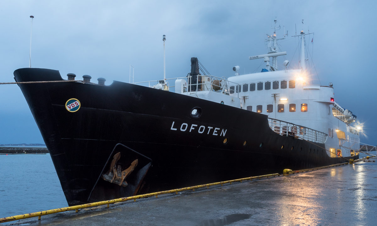
While I moved into my cabin the Hurtigruten ship MS Lofoten still anchored in the port of Kirkenes. I had a windowless 2-bed-cabin for myself and was able to spread out my belongings. But before that I took a photo with my fisheye lens. With the fisheye-like distortion the cabin look huge!
I used the Hurtigruten twice before, in 2017 from Vardø to Stokmarknes and last year from Båtsfjord to Ørnes. So the section Kirkenes — Vardø was new to me. And it’s the first time without my car on board.
We were in the harbour till half past twelve.
Then we left Kirkenes and my 3rd and longest Hurtigruten journey had started. I stood at the stern of the ship and looked back.
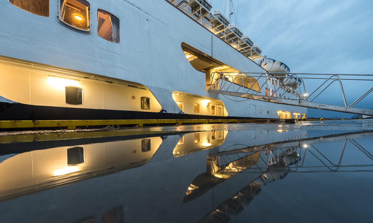
Soon I changed place from stern to bow – at the MS Lofoten you can stand next to the bridge – and looked ahead. Far away, a bit to the port side I could spot a white plain – part of the Varanger peninsula.
[Live interruption: We have reached the open Lopphavet between Øksfjord and Skervøy. The ship has started to rock again. I am interrupted by the sound of a plate falling down from the table. Thanks to the soft carpet it survived]
Annika and I travelled a lot on the Varanger peninsula last winter. I stood on the port side of the ship and tried to spot all places we have been: There’s Vadsø, the largest town – there, far away is Ekkerøy with it’s beautiful beaches. And there is Kiberg, where we had a good time with Trond, our host of Cape East Arctic Adventure. And there’s his house! I found it! Let’s see, what about Kibergsneset, the easternmost point of mainland Norway where Annika and I had been last year? It was farther away from the village than I remembered, but finally I found it, too. Both photos are taken with 600 mm from a rocking ship with a vibrating motor, so the quality is bad, but it was nice to take these pictures.
Half an hour we arrived in Vardø, stop #1. (Vadsø is left out on the southbound direction.) We arrived late and I decided to stay aboard. I’ve been in Vardø before.
When we left Vardø behind, it was too dark to see the scenery. I have breakfast included but not the other meals, because I think they are quite expensive. I have my own food with me. This day however I didn’t have a proper breakfast so I bought a large bread with salmon and scrambled eggs.

The MS Lofoten went along the northern coast of Varanger. It was windy and the sea was a bit rough. The MS Lofoten was exposed to the elements. It is not only the smallest operating Hurtigruten ship but also the only one without stabilisers. It was rocking in every direction and the swell got stronger and stronger. Sometimes the bow of the ship was hovering in midair and then scended into the next trough. I’ve never been seasick before but I started to sweat and to feel quite uncomfortable. I tried to ignore it for a while, then I interrupted my photo edit session, went down to my cabin and went straight into bed. Whether it was my lying position or the fact, that the cabin was nearer to the center of the ship’s mass I don’t know, but I felt much better and fell soon asleep.
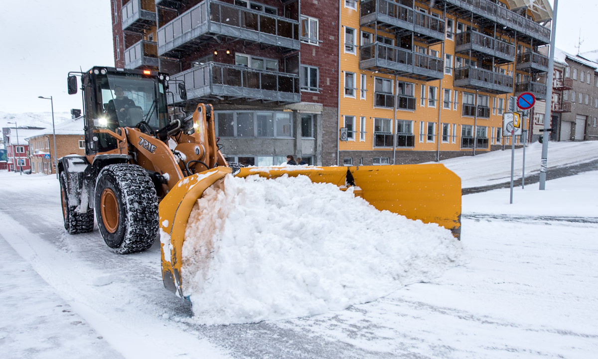
I woke up shortly before Båtsfjord, stop #2. Near the harbour the strong swell had subsided. Soon the ship lay calmly at the jetty. It had started snowing intensely. We were in Båtsfjord quite a long time due to a lot of freight being unloaded and loaded.
I went into my cabin and continued sleeping. I overslept Berlevåg, Mehamn and Kjøllefjord but was awake in …
Saturday, 16 February
… Honningsvåg, stop #6. I was so sure that I would oversleep this stop as well, but we were an hour late. I was still dark, but I could take some photos with my tripod.
[Live interruption: We have left the Lopphavet, the sea was much calmer than expected]
We left Honningsvåg with an hour delay. I tried to make pictures but the sight was poor, mostly because of the snow showers and the low hanging clouds. At least I could take a picture of the MS Nordnorge.
An announcement came through the speakers: Due to the delay we would skip Havøysund, usually stop #7. This would spare us half an hour.
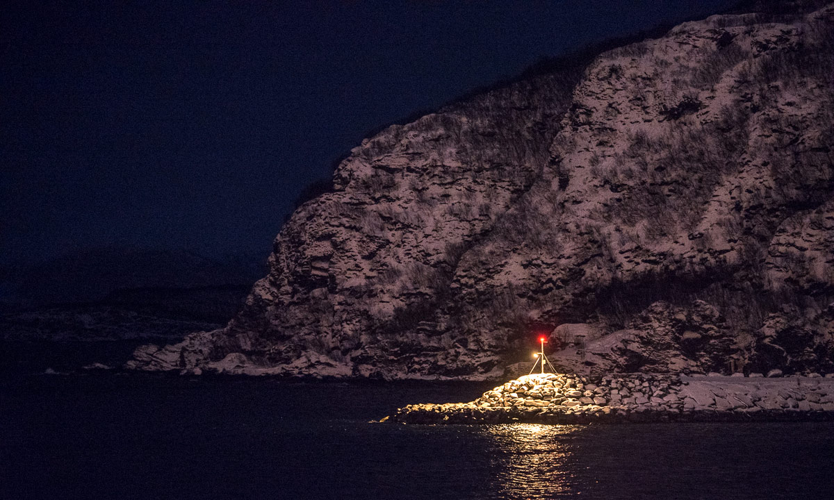
It got warmer. Temperatures were hardly below zero, much too warm for the season. It snowed more and more and all you could see was the ship and a circular patch of waves and snow.
Anyway the snow showers didn’t last for hours and after another snow shower Melkøya came into view.
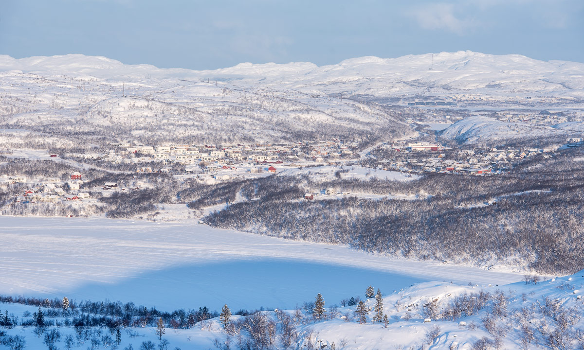
Melkøya is just a few kilometres away from Hammerfest, second largest town of the Finnmark. It’s the endpoint of an undersea pipeline for natural gas. Here it is converted to liquefied natural gas that is exported to the world.
Right after Melkøya Hammerfest, stop #7 on this journey came into view.
Here we had a longer stopover. A young woman took ropes, rolled them up and threw them up onto the much higher foredeck of the MS Lofoten. She succeeded every time. Later I asked here if I might use the photo (I may) and she told me that she wasn’t sure if she would make it today because of the strong winds.
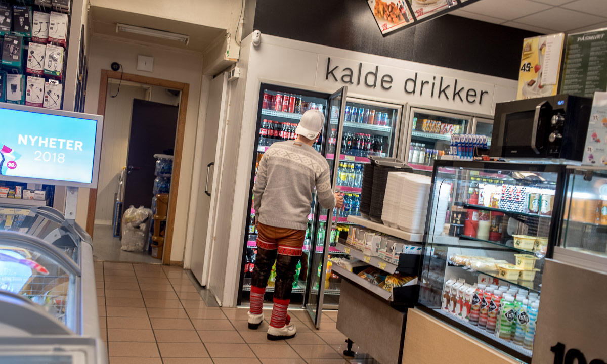
I left the MS Lofoten for looking around, taking pictures and buying a coke in the local supermarket. Some photos:
After an hour I went aboard again, placed myself into the salon and started editing images. The weather was too dull to take great pictures, a good reason to be lazy.
I even took a short nap in my cabin. Anyhow I was up again when we arrived in Øksfjord, stop #8. With a fisheye photo of the port Loppa Havn I will finish this blog article.
[Back to now: Soon we’ll arrive in Skjervøy, stop #9. If we make it we’ll even reach Tromsø today but perhaps I’ll sleep. I’ve been in Tromsø several times before and even twice last year.]