A trip above the treeline

Today the weather was really nice in Venneshamn in Norway. I took the car to drive to a mountain area not far away. At least, if you can fly … . If you take the car in Norway, there’s always at least one fjord you have to drive round, in this case the Verrasundet. So it took a bit longer than excepted taking the ways 191, 193 and 720 round the fjord. Finally I approached the street to the lake Ormsetvatnet. Street, well … it’s more like a steep gravel path, that you can drive up some kilometres to a parking place. The last kilometre to the lake is closed for cars and I had to walk it.

At Ormsetvatnet I crossed a dam wall, walked up a tree covered slope and soon was above the treeline. To be honest, I’m not too fond of forests, when it comes to taking pictures and I’m always glad, when I leave the trees behind when doing a mountain trip.

Now I was on a hilly plateau, the Vakkerheia. Some of the flat mountain tops were marked with piles of stones.

In the plain valley between the hilly tops the ground is soft and wet. Sometimes I had to go round shallow ponds and bogs, but mostly the ground was easy to go. In and round the swampy ponds the cotton grass was blooming. To my big delight there were many cloudberries plants growing in the lesser wet parts and the berries were ripe and ready to eat!

Picking cloudberries can be tedious, because of the many bloodthirsty horseflies that seem to guard them. I think, I slew most of them, but some bit me anyway.

After some hours of a really relaxed mountain hike I took another way back until I came to the gravel road again, where my parked car waited for me.

Half a day later

A thunderstorm approaches from the west. The center seems to be above the very same area that I wandered some hours earlier. The thunder and lightnings were as impressive as the intense colours, that I could see from the other side of the fjord. I was glad, that I haven’t been on that plateau – there would be hardly any place to seek shelter from the massive rain fall or to protect from the dangerous lightnings.

Addendum

And since we’re living in the age of selfies …

757.5 – from Mosvik to Skelleftehamn by car

Last week I’ve been in Mosvik (Norway) to visit friends. Yesterday I drove back home, not directly but with a detour via Nordli and Røyrvik (Norway) and Stekenjokk, (Sweden).

According to google maps the direct way is 671 km, taking 8 h 38 min. With the detour it is only 67 km, but 1 h 46 min longer. That says a lot about the small and steep gravel roads near the Swedish–Norwegian border …

For me the journey didn’t take 10.5 hours, but more than 15. For one thing I don’t drive fast, especially in Norway and for another thing I took many smaller rests for taking pictures as well as a lunch and a dinner break. I left at 9 o’clock; at quarter past midnight I finally was home again. Total distance by car: 757.5 km.

See my travelogue of the journey by clicking the first image and navigating through the images. Swipe on touch devices and click or use arrow keys on other computers.

By the way: After nineteen articles without any photo with snow, this is the first article showing at least some patches of snow again.

Picking cloudberries

One week ago I still was in Mosvik in Norway. On Saturday we went out to pick cloudberries. These berries that look a bit like orange raspberries are rich in taste and very healthy due to the high amount of vitamin C and trace elements. There’s only one disadvantage: They can be quite hard to pick.

First of all they prefer wet and swampy soil. Then they ripe in July, the heyday of mosquitos and biting horseflies. Then they grow quite solitary – one berry here, one over there.

H., J., F. and I were quite lucky last Saturday when we collected two buckets of these little delicacies for it rained almost the whole day. And much rain means less mosquitos. When we came home, A. directly started to make jam from our collected cloudberries. One glass of jam I took home. It is still closed and I will save it for later. I love cloudberries!

Translation:

EnglishGermanSwedishNorwegian
cloudberryMoltebeerehjortronmulte

Noctilucent clouds

19 days ago it was dark enough to see the first star. Since then it got a bit darker each night and tonight – which is a clear night – you can see the first constellations as for example Cassiopeia.

It would be dark enough for the first polar lights of the season but there aren’t any this night. Anyway I spotted something even better in my opinion since it is not often that you can see it so lucid as tonight: Noctilucent clouds, which are clouds so high up in the sky that they are illuminated by the sun the whole night through. Cirrus clouds, the highest “normal” clouds exist in altitudes of round 4 – 12 km, noctilucent clouds however occur in altitudes round 50 km! And I think there are really beautiful.

Translation:

EnglishGermanSwedish
Noctilucent cloudsLeuchtende NachtwolkenNattlysande moln

A weekend in the Skuleskogen National Park

You just leave Umeå by car on the E4, head southwards to Örnsköldsvik and continue a while, leave the E4 in direction Köpmanholmen and Näske and continue to “Entré Nord” (entrance north). You park your car, shoulder your backpacks and follow the signs. And soon you stand amidst the fantastic forests of the Skuleskogen National Park.

Annika got visit of her friend Johanna last week. A good opportunity for us to spend a weekend together in the Skuleskogen National Park. Since our planned tour for Saturday was not so long, we started our hike not until 12 o’clock. In addition to the usual stuff as rain jacket and spare clothes we had a lot of food and water with us. Much water, since we weren’t sure if we would find any near the cottage – much food as potatoes, sausages and a lot of salad because we just wanted to have a bit of luxury.

The first part of the trail through the forest was fantastic, almost magic. Old trees bespangled with lichens, big rocks coated with green moss and from the left a pale light signalising that the Näskefjärden – part of the Baltic Sea – is not far away.

And “not far away” means: just a few meters.

Annika and I looked forward to take a bath, but first we wanted to reach the cottage on the islands Tärnättholmarna to leave some of the heavy luggage there. When Annika told me about the beautiful cabin on the inshore island of the Tärnättholmarna I wondered how we would come there. Is there a bridge? Do we have to take a boat? Wade? Jump? Swim across? Anyway my wonderings were useless: Since the glaciers of the last ice age had melted any,  the land has been rising again – still 8 mm a year! This phenomenon is called post-glacial rebound. That’s why the Tärnättholmarna have been islands in older times, but nowadays are connected with the mainland by a broad band of sand.

It’s not far away to the cottage and we reached it within a good hour. We left most of the food, most of the water, some spare clothes and our sleeping bags and continued much more lightweight. (Beside of me, who had 5 kilos of camera equipment with me, but that’s my problem and most of the time I don’t complain …)

We continued the forest trail southwards. It’s an easy way but not the most interesting part of the National Park in my opinion. Anyway we walked still along the shore and the beaches were sandy and the water was clear and the sun shined … . Time for Annikas and my long yearned-for bath. The water was chillier than expected but so refreshing!

After we have dried in the sun we continued our Saturday hike, now heading north. Here the trail climbs round about 265 meters, if you take the eastern variant. That may not sound much but the change in the landscape is really impressive:

Starting just 200 meters away from the sandy beach you walk through a dense forest of primeval old, large trees. Sometimes the trail is covered with cobblestone-like stones, sometimes with a maze of tree roots, sometimes it just leads over jogged rocks. All of the sudden, the path turns right, leaves the forest and you stand on solid red granite rock. You look up and see more rocks and – yes! – that’s your way up! You follow the marks, sometimes by walking, sometimes by climbing up the steep or rugged passages.

Finally we were up on a rocky and bald plateau and had amazing views over the mountainous forests in the west and the Baltic Sea with its many islands in the east. Unfortunately it was quite cloudy when we went there and I hardly took any pictures. Between the next two photos lie 34 minutes and about 50 metres in height. The descent however is far away from being easy. You have to climb down through rocky terrain with a gradient of 50%.

And then you stand at the upper entrance of the famous Slåttdalsskrevan. Wooden stairs are leading down into that ravine where the trail continues downwards. Inside the ravine it’s so dark, that the contrast to the sky is too high for my Nikon D-800. Either the rocks are just black or sky is just white.

After leaving the ravine we still had to climb down, now again surrounded by forest. After a while we came to the lake Tärnättvattnen. The sky brightened up again and the view of the lake mirroring the blue sky was just marvellous. Johanna, Annika and I agreed in staying at that place overnight, when we should be there once again, even though that cottage is much smaller than our choice.

Now we were not too far away from our todays destination: The cottage on the peninsulas Tärnättholmarna. But even 2.5 kilometres can be demanding if there is another steep and rocky crescent. And so it was. If this passage was in the German Alps there would have been several warning signs about the necessities of alpine experience. In Sweden however you rely on the people, that they know, what they do. It seems to work well.

That’s how a part of the descent looked like when looking back:

I was really exhausted when we were “home” at our cottage, that we shared with two really pleasant Swedes. Annika proofed her abilities of outdoor-cooking while Johanna, though being a total beginner, showed her strong woodchopping skills. The only fault: the sausages were quite disgusting. I shouldn’t complain, it was me, who chose them … . After our outdoor dinner at the fireplace and some talk we all went to bed, glad to stretch the tired back and limbs.

The next day? Nice, smooth and relaxed: A breakfast with yesterday hard-boiled eggs, homemade bread, hot chocolate, and Västerbottens Ost, a local cheese. Strolling around the peninsulas – eating blueberries – sitting on the rocky shore beside the Baltic sea – eating some more blueberries – taking it easy. Taking an outdoor lunch with roast potatoes (with the rest of the sausages) and salad. I took a short nap and after that we packed our now quite empty backpacks, cleaned the cottage and went back to the parking place, where we arrived one hour later. The most challenging part of the day was my car drive back to Umeå, i was so tired!

It was a fantastic weekend. Thanks for the nice company, Johanna and Annika!

Some Sunday expressions in and round the cottage:

Links:

A cruise from Skelleftehamn to Bjuröklubb

It doesn’t happen often, that you can make boat trips from Skelleftehamn, were I use to live. Only one week once a year the Laponia Rederi from Luleå comes down to Skelleftehamn for some cruises. Last Saturday Annika and I took the opportunity to attend a five hour cruise to Bjuröklubb, where I’ve been quite a lot, but never by ship. When we arrived in good time before 11 o’clock people already started entering the small ship.

We boarded, too and thereby lowered the average age some years. I sniffed around the boat and got the permission to enter the bridge for some photos.

Five minutes before schedule the ship put out to sea, cruising along the industrial peninsula Rönnskär.

While Annika and I were standing on the top deck looking at the sea, the islands, the sky and the waves, all other people stayed inside and started focussing on the main topic: the lunch buffet. Anyway I have to admit, that especially the salmon was extremely delicious, and the bread as well.

I once thought about making a kayak trip to Bjuröklubb, an exposed peninsula and the easternmost point of the county Västerbotten. It would take me some days, since for one thing I’m slow and for another thing I would follow the coastline and never dare to take the much shorter direct route long away from the mainland. The ship, however was fast and took the “directissima”. Therefore it took only 90 minutes to cruise there.

At the small harbour we all went ashore and the ship continued to a larger harbour nearby where it waited for us. We got a guided tour and went up to the lighthouse where we left the croud for a good reason: Just that day was the International Lighthouse and Lightship Weekend, the only day where the lighthouse – which is still in use – is open for visitors. I went up, waiting for the other visitors – max 4 at the same time – to leave and made some photos. Not only the cut glass mirror construction was incredible but the colourful reflections of the sunlight, too.

Since we already left the group we took a hike to the other harbour, where we entered the ship again. Why it took us more than half an hour to walk for just some hundred meters? Well, there were blueberries, there were raspberries … and we picked and ate a lot of them.

The crew untied all the ropes connecting the ship to the land. I’m sure they are nautical terms for those ropes, you are free to post their proper names in the comments. Then the ship started, fetched the other passengers at the other small harbour and headed back to Skelleftehamn. Annika and I sat on the upper deck and enjoyed sun, clouds, wind, and waves as well as the view on the islands Skötgrönnan and Gåsören.

Ninety minutes later we arrived again in Skelleftehamn, where we came off the ship, while one of the crew played farewell music on the accordion.

Conclusion: A relaxed cruise and the opportunity to play tourist in my adopted homeland for one day.

The first polar light of the season

When Annika woke me up, a strong and colourful polar light covered the northern sky. In the short time it took to go in for getting my camera and tripod it already got much weaker, but it was still strong enough to take a picture with a quite short exposure time.

The first polar light of the season is always something special, especially when it’s still August. Almost unbelievable, that only one month ago the nightly sky was so bright, that you hardly could see a single star.

To see the Northern lights from your own garden is still pure luxury. Now I’m looking forward to the next time …

(ISO 800 · 14mm · f/2.8 · 5.0 sec)

ɥʇnos uʍop ʎɐʍ – part I

Although I already live quite up north (64° 41′ N) my most longer travels head even further north, not south. But not this time.

Having started in Umeå I took the train to Stockholm, another train to Malmö and in some hours a third train to Trelleborg, which is the southernmost town in Sweden. I’m travelling more than 1200 km and more than 9 degrees of latitude – a tenth of the distance between the equator and the North Pole!

Last night rain poured down in Umeå, where I already arrived yesterday. How will I come to the rail station without becoming completely rain-drenched? Goretex jacket, pants and rubber boots? No need for it, I was lucky: The rain had stopped and the sunlight was reflected by the wet asphalt, when I went to Umeå Central.

I was way to early and had to wait. Anyway, the weather was fine, the air fresh and the train arrived 20 minutes before departure. When I went to carriage 1 I realised, that it’s a 1st class coach. First I was a bit puzzled, but then I remembered, that I did book 1st class tickets. They were hardly more expensive and now I was glad to have a bit more comfort on the long journey. And there was coffee, muffins and fresh mandarins, too. For free!

First I took another seat (my window seat hardly had any window …) and had a look at the Swedish landscape rolling past.

In Sundsvall many people got on and I had to take my original seat again. 2 hours 19 minutes to Gävle

… and then 1 hour 26 minutes to Stockholm, where I left the train. One of the disadvantages of living in a small town is the increasing inability to be comfortable in crowded places. And for me, Stockholm Central Station is really crowed! The photo may fool you, all people were in the very same shop, where I bought a photo magazine.

I longed to get on the next train to Malmö, were I just could sit and relax, but first I had to wait with the other zillion people for the train to arrive …

(to be continued …)

ɥʇnos uʍop ʎɐʍ – part II

Two days ago I started a journey southwards. After half an hour in Stockholm, where I changed trains, I sat in the X2000 to Malmö – a four and a half hour trip. I looked out of the window to have a look at Stockholm and saw the train crossing the Årstaviken on a high rail bridge.

Then I got tired and tried to fall asleep. Then the landscape got a bit boring. Then it got dark. That’s why my camera stayed in its backpack for a long time. Then our train started to delay more and more. Will I be able to catch my connecting train in Malmö? I knew, there were later trains the same day in case of missing this one, but I was a bit nervous anyway. I was tired and just wanted to end this part of my journey as soon as possible.

Two or three minutes before the departure of my connection we arrived in Malmö. I left the train, and started to run: Where’s track 2B? To the left – to the right – holding left – running down the looong escalator. Where’s the train? Oh – the track changed. Where’s track 1A? The other end of the same platform. Jogging again. Where’s the train? Oh – not here yet. Phew!

Some minutes later I entered the local train to Trelleborg where I finished my 12 hour 40 minute journey and took the short way to my hotel. I checked in, went to my room, took a shower and a photo and soon I was fast asleep.

Ten hours later: I stand on the huge ferry to Sassnitz, Rügen, Germany. The ferry crossing will take a bit more than 4 hours. Twice I am inside to buy small things to eat and to drink, the rest I sit or stand outside having a look at Sweden leaving behind, the open Baltic Sea with nothing in view beside of an offshore wind park and some other ships far away. Some places on deck were quite windy, other were wind-protected so that I can sit in T-shirt enjoying the sun. Two and a half hours later Kap Arkona, the northernmost tip of Rügen comes into view and later the outstretched chalk cliffs of Jasmund. A good hour later the ferry goes ashore in Sassnitz and I am in Germany – for the first time after Christmas 2014.

I think, travelling by ship could be my favourite style of travelling. You are not bound to your seat, you can walk around, you get food (if you want) and you can look at the sea. What a pity, that there’s no ferry from Skelleftehamn to Sassnitz. Come on, shipping companies, it’s both the Baltic Sea, it cannot be so hard …

Some images of yesterday:

Jämtland hike part I: Storulvån—Blåhammaren

This article is part of the series “2016-09: Jämtland and Norway”.

After three weeks of travelling I’m back in Skelleftehamn. The first week I was in Germany, then I travelled back to Umeå, where Annika lives. Let’s start there:

Sunday after breakfast Annika and I started our tour through the autumnal Jämtland. However the first day’s focus was on getting there by car. It takes round six and a half hours to get from Umeå to Storulvån. We made a stopover in Åsele to look in on some friends and so it took a bit longer until we reached the STF Storulvån Fjällstation where we parked our car. But anyway, we have semester – holiday – and plenty of time. It was even still daylight left, when we crossed the creek Stor-Ulvån (sami: Stoere Vïerejällanjohke) to get to our cabin.

Monday, 12. September

I awoke quite early the next morning and went out to make some photos of the beautiful morning mood and the autumnal colours of nature.

After our breakfast we shouldered our backpacks and started the tour. My backpack could have been quite lightweight if I hadn’t taken my camera, four lenses and a tripod with me. Nevertheless the weight was less than 15 kilos since we were able to buy food in almost all cabins and mountain lodges.

First it was a bit cloudy but soon the sky cleared up more and more and we got a warm autumn day with temperatures up to 20 °C, which is quite warm for the season. The summer trail led us first through autumnal birch forests but after some kilometres we were already on the kalfjäll – the bare mountains above the tree line.

In the middle of the trail between Storulvån and Blåhammaren lies the cot Ulvåtjärn, one of the “emergency cots”. You’re welcome to have a break here, but not to stay overnight beside of emergency situations. Right before this cot you have to cross the Stor-Ulvån again, this time by fording it. When Annika crossed the river three years ago, the water was knee deep, now the water level was much lower and I could just cross it in my rubber boots, while Annika went barefooted.

After a break we continued our tour to Blåhammaren. There were many reindeers on the fjäll. No big herds, but many small groups here and there. They are quite shy and cautious, but on the kalfäll it’s quite obvious, that they are the real residents of the mountains, not we human beings.

We continued our tour on the treeless mountain terrain until the Blåhammaren fjällstation came into view. Here we got two beds in a 14-bed-room and entered the sauna, that has a gorgeous view. After that Annika invited my to a three-course dinner (Blåhammaren is famous for its cuisine) where I got the most delicious reindeer meat I ate in my whole live. Thanks for the invitation, Annika!

While we enjoyed our dinner it started to get dark outside and after a while the beacon in front of the main house was lighted and the first stars came out. Later in the night we got a fantastic crystal clear starry sky, but no Northern lights. I considered about taking some pictures of the milky way, but I was too lazy and too tired.

The tour so far:

Continue with part two …

Jämtland hike part II: hejdå Sweden, hei Norge!

This article is part of the series “2016-09: Jämtland and Norway”.

Annika and I are in the mountains in Jämtland and have just reached our first destination: Blåhammaren, where we slept in a 14-bed room.

Tuesday, 13. September

Sleeping in a 14-bed room can be quite demanding, especially if you have this kind of snorers in your room, that could awake a frozen mammoth. However Annika and I were really lucky, no snorers at all! After our breakfast we had to decide where to continue our tour. From Blåhammaren you can hike back to civilisation or continue to two other destinations. Most of the hikers continue to Sylarna which is very central and part of the Jämtland Triangle, a very popular three-day-tour, that connects Storulvån, Blåhammaren and just Sylarna. We were keener to cross the border and hike to the Norwegian lodge Storerikvollen and so we did.

With an altitude of 1086 m Blåhammaren is the highest tourist station of the STF – the Swedish Tourist Association – so first the trail ran over the treeless mountain plateau, over rocks and moss, crossing some swamps and brooks. After a while we descended and the first yellow coloured birch trees came into view again.

Swedish summer trails are marked with red coloured dots on rock or tree, while winter trails are marked with poles bearing red crosses. You really shouldn’t follow the winter trails in summer unless you want to stand in front of a lake or find yourself deep in a bog – both are easy to cross only in wintertime. But quite often there’s a year round trail which makes navigation extremely easy even on less walked routes.

One kilometre behind Endalen, an emergency shelter, where we rested for a short while, the Sweden-Norwegian border came into view. It’s hard to mark a border less spectacularly than this one: A sign amidst of a pile of yellow painted stones, that’s it. The large bridge that crosses the river Enan (Sami: Äjnänjohke) directly after the border offers far more spectacularity.

We detected a real nice resting place on the other side of the river, where we planned to enjoy the warm summerly weather, but two other hikers – by the way the first ones we met that day – coming from the other side chose exactly the same slab of rock to rest. Luckily we found another place, at least as nice as the first one. We unmounted our backpacks, took of our boots and dangled our feet into the ice-cold water.

(I like the photo with the drifting yellow birch leave and the dead mosquito. It illustrates, why I prefer the autumn to summer: Beautiful colours and no biting insects left!)

In Norway the summer trail marks change, now the trail was marked with big bright red T-s. The red T is also the logo of the DNT, the Norwegian Trekking Association.

Do you see the dark piece of something on the top of the stone? It’s animal droppings, but I’m not sure of which species. I asked for help on Facebook and the favourite answers are reindeer and (arctic) fox.

We continued our tour until we came to another swing bridge, this time crossing the river Djupholma. On the other side of that river lies a nice sandy beach where I took a refreshing bath (the only one of the whole tour). It was only two other kilometres to walk to our destination, the cabin Storerikvollen, where we arrived round six o’clock.

Oh, so nice these Norwegian lodges are. They seem less “funkis” (the Swedish functional style) and more “hyggelig” (the Norwegian word for cozy, snug, or homelike). Just gemütlich! And we got a two-bed-room for a good price. The only thing you should know, when you visit the Norwegian side: These cabins hardly sell any food and there is no public kitchen as in the Swedish cabins. So you have three options: (1) take a camp stove with you and cook outside. (2) cold dishes! Hopefully you have all with you. (3) eat the dinner and breakfast provided by the lodges (and pay the Norwegian price).

We chose (2) and had a nice dinner with salami, crisp bread and fresh water outside in the evening sun, enjoying both our simple meal, the warm air and the beautiful view. Later the almost full moon rose above the reddish mountain chain – what a beautiful evening!

Wednesday, 14. September

The next day would lead us to the Nedalshytta, which is between 20 and 24 km away, depending on which map or sign post you rely on. So we got up quite early.

We had to go back yesterdays route 2 or 3 km where the trail divided. Now we turned south and had to ascent. Soon again we were above the treeline. When we looked back, we could see parts of the big lake Essandsjøen and even spotted – beside of some reindeers – the now tiny Storerikvollen, that we left some ours ago.

After a while we came to the river Fiskåa, where we had to ford. My rubber boots were high enough and I just splashed through the water, whereas Annika changed boots with trekking sandals and waded through the river.

Since rivers use to flow through valleys we had to ascend again and walked up along a reindeer fence. The weather was still warm and sunny, but you could see a cloud layer approaching afar. Would it rain in the evening as the forecast told us?

Only the map showed us the progress of our longest tour so far. We went a bit up, a bit down, a bit to the left, a bit to the right, down a small valley and up again. But finally trees came into view once more and soon we stood on an exposed plateau not far away from the yet invisible Nedalshytta.

Come on, just less than a kilometre to go … . Final spurt! A short while later we arrived at the beautiful lodge. Again we got a nice two-bed room, this time right below the grass roof. And we got: pizza! Perhaps not the best I ate in my life, but walk 20 – 24 kilometres with a backpack by yourself and you’ll know, how delicious a warm pizza slice can be!

The tour so far:

Continue with part three …

Jämtland hike part III: back to Sweden and finishing the tour

This article is part of the series “2016-09: Jämtland and Norway”.

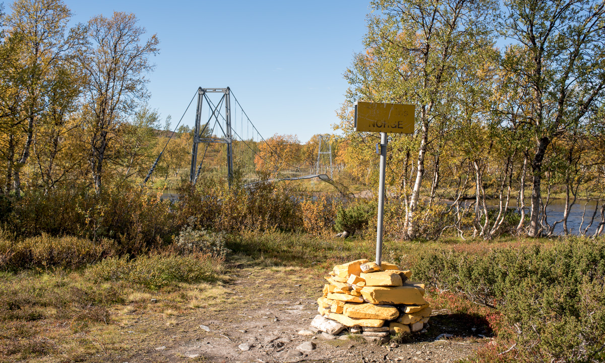
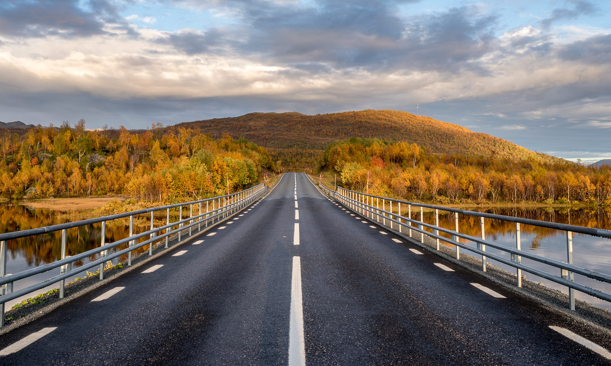
After two days in Norway we headed back to the Swedish mountains.

Thursday, 15. September

We started our day with a breakfast.

The Norwegian lodge Nedalshytta is really beautiful, but doesn’t have a kitchen and sells only some snacks, when it comes to food. Luckily we had both own things to eat and a mug with us, so would could enjoy our own breakfast: oat flakes with frothy milk! How to get frothy milk on a mountain tour? Mix milk powder and water in an empty coke bottle, shake it vigorously and voilà: schiuma di latte à la Annika.

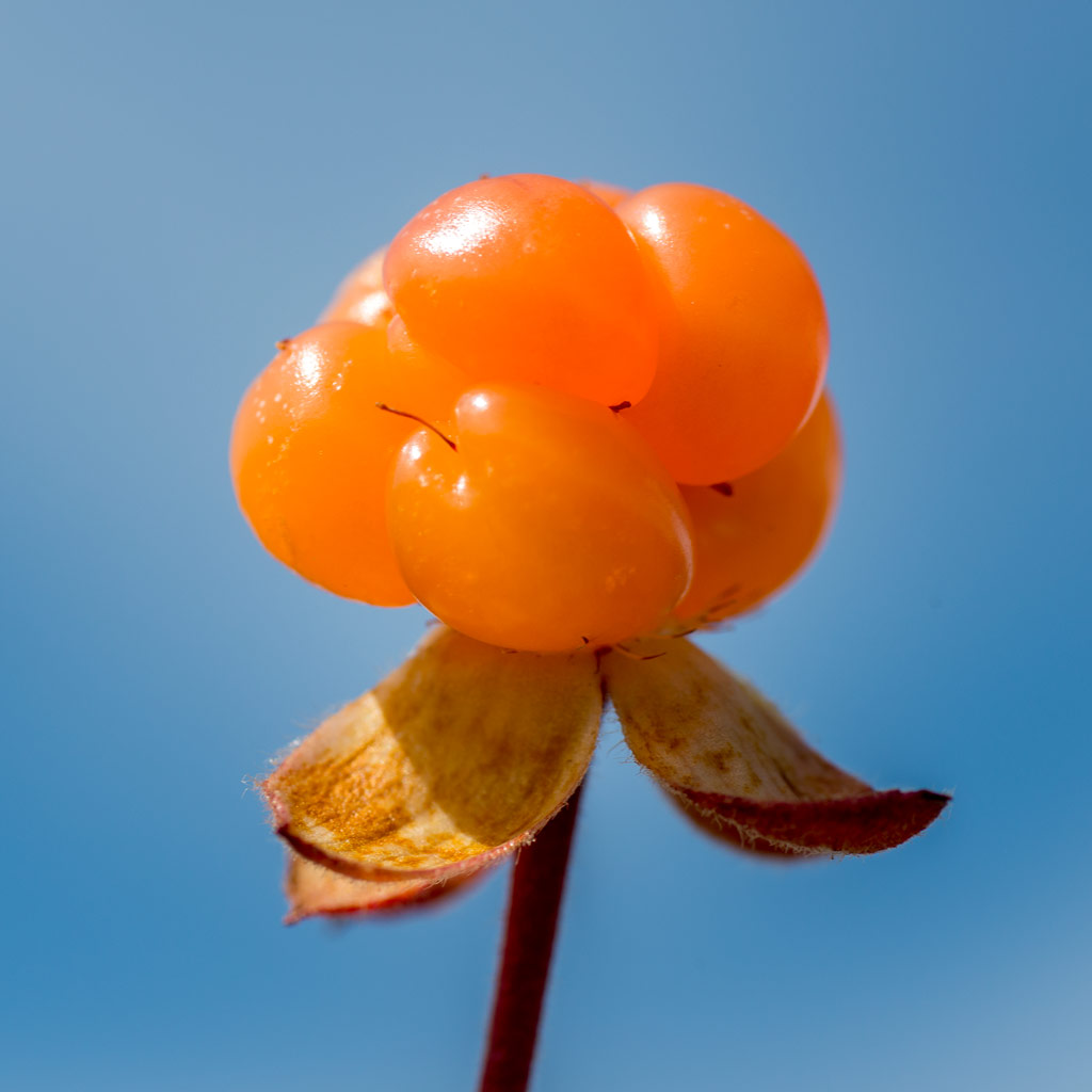
After packing our backpacks we started our hike to the Sylarna Fjällstation. It was the first cloudy day since we started our tour three days before and anything was moist and wet. Sometimes we had to take a break to pluck some blueberries, that still tasted fresh and sweet.

We went along the Templet, which is Swedens highest peak of the Sylarna mountain range (1728 m). (Storsylen with its 1762 meter altitude is higher, but on the Norwegian side, just 100 meters from the Swedish border.) Due to the weather we first couldn’t see that much but after a while it started to clear up and the clouds released the view on the huge and barren slopes of the Templet massif. We were so lucky, that we hadn’t to go this part of the trail in fog and clouds.

Soon we arrived at a place called Ekorrdörren – the squirrel door.

We started our tour at 780 m above sea level. Now we were on 1100 meter and would have to go up another 260 meters to reach the Ekorrpasset – the squirrel pass – which is 1360 m above sea level and so the highest point of our tour so long. We started climbing up the slope but had to look back over and over again. The undulating valley of the river Åeruvedurrienjohke with it’s many hills and ponds looked like from another planet.

Our trail got more and more rocky. After a while there was hardly any way left, we just went over angular rocks with gorgeous views of the Templet, including a small glacier and the Slottet, another peak of the Sylarna.

I really love the changes of the landscape you can have within just some hours: From autumnal birch forest with blueberries over to grass covered plateaus and finally up to an asteroid-like landscape that looks like a pile of stones.

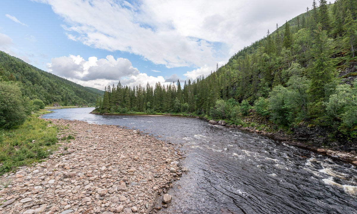
Especially the squirrel pass looks both harsh and impressive. Anyway, when you go up a pass you’ll probably go it down as well and even 200 meters altitude make a difference. The Sylarna Fjällstation lies near the river Sylälven that flows through a wide grass covered U-shaped valley and when we came nearer we could see three reindeers standing in front of the cabins. Back to civilisation.

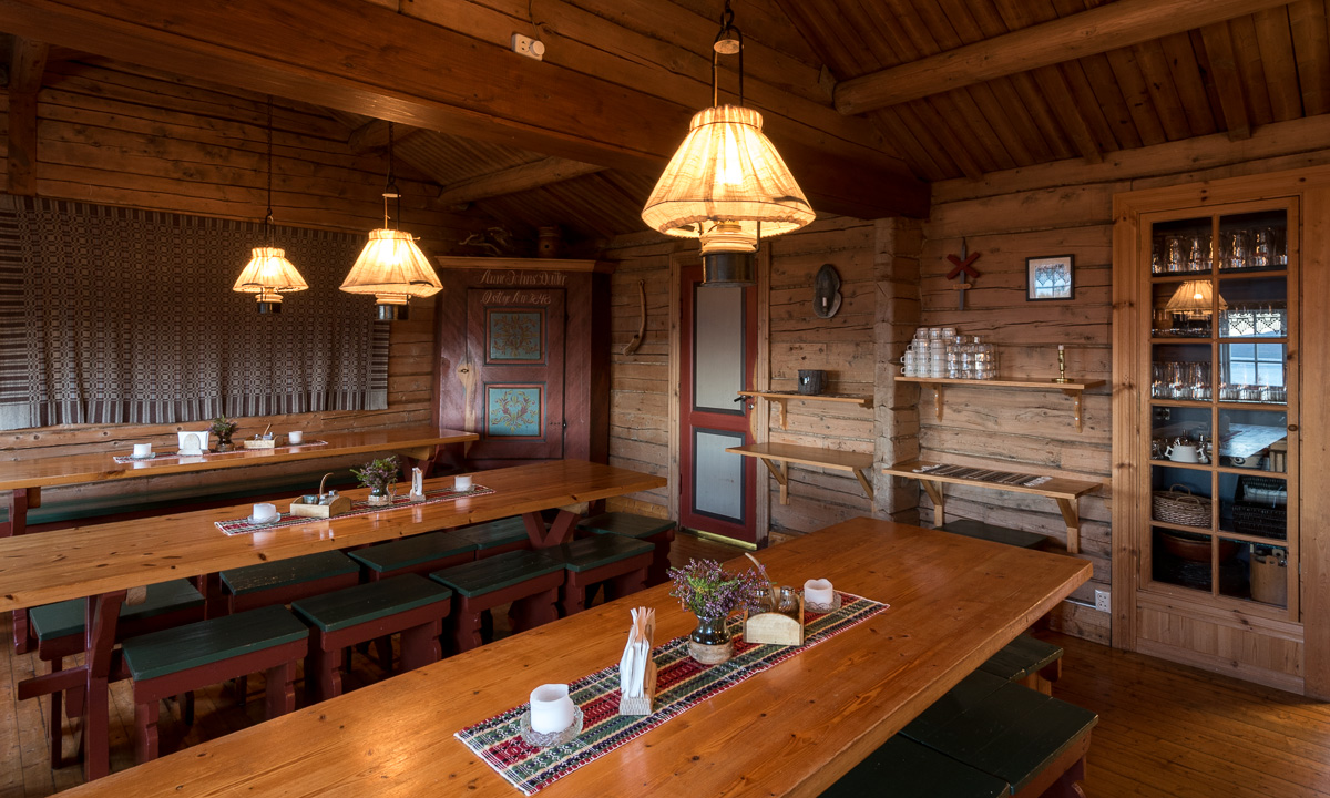
We had hiked four days in a row and were quite eager to take a day off. Sylarna fjällstation would be an ideal place, since it lies beautifully and you can leave that place in six different directions. Alas, there weren’t only reindeers, but people, too. Many people. The place was crowded! There were many hikers and mountain joggers. In the big dining room sat a large group of bankers that got their three-course dinner including candlelight and fresh salad, brought by helicopter. We were unsure, if this should be a good place to rest for a day.

The information we got in the evening shocked us a bit: There were already 100 – 125 booked sleeping-places for that night (in addition to all people that would come without booking). That means, that this place would be even more crowded. Even Helags, which is more in the South had just some single sleeping-places left.

That was the moment, where we decided to escape.

We would stay overnight of course, but the next day we would abandon the tour and hike back to Storulvån, were I parked my car.

Friday, 16. September

I was awake quite early, took my camera and tripod and walked out to wait for the sunrise. The valley Endalen was covered with fog. I looked at the glacier Storsylglaciären,that covers the eastern slope of the Storsylen and a lavvu – a traditional sami dwelling. The sun however showed up quite late, there were too many clouds.

I looked at the less beautiful parts of that place too: An excavator on a flat building site, a welcome sign surrounded by building material and waste.

We started the tour being content to leave Sylarna behind but a bit melancholy, too, because we didn’t plan to leave the mountains already after five days. Annika started to count the approaching hikers, there were quite many …

After half the way we approached something quite funny:

It’s neither a sculpture nor a church, it’s a WiFi-station including a recharging unit for smartphones! It is even marked in the hiking map: “WiFi och laddstn.”. There were many hikers and even some mountain bikers resting, but no one started the WiFi. The cellular network is quite good in that part of the mountains and I guess there’s hardly a young Swede without a mobile internet flat rate.

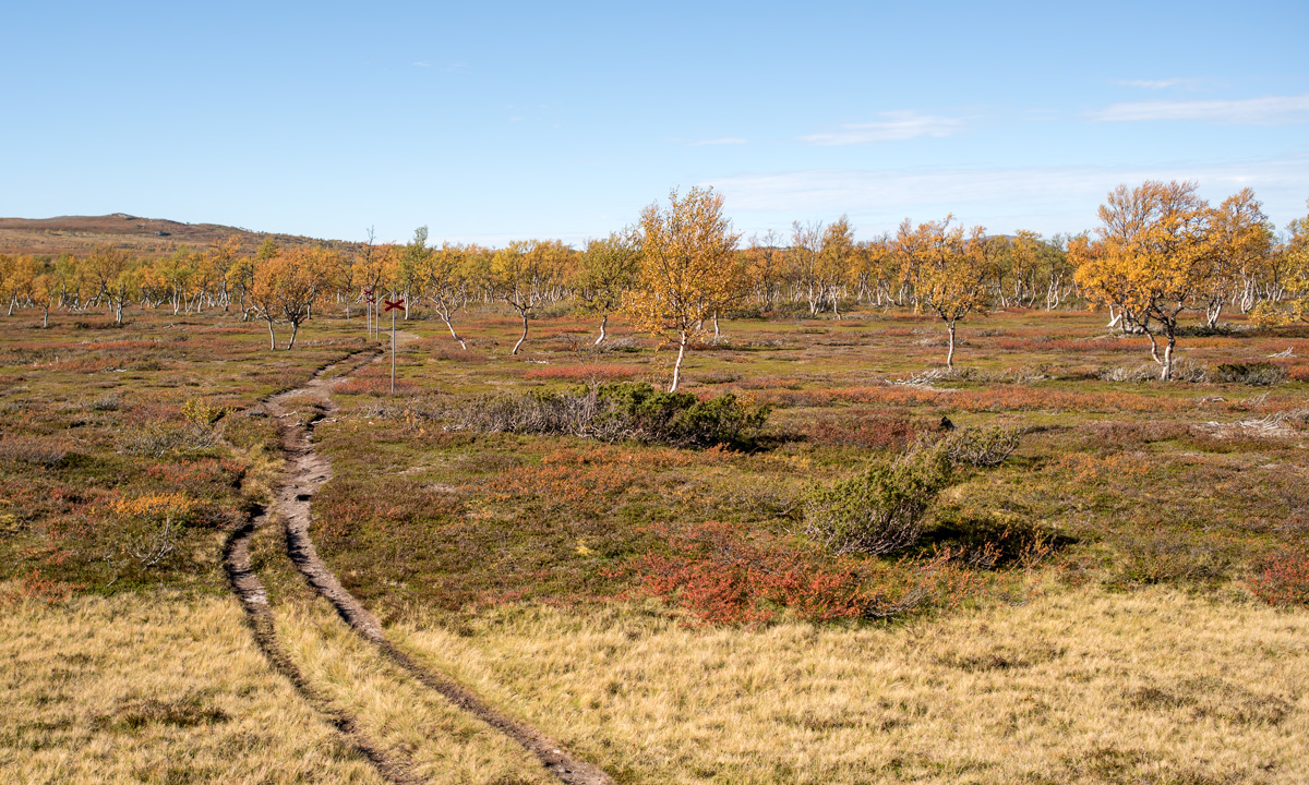
We continued our tour and slowly hiked down the valley Endalen. After a while we were below the tree line and the landscape got even more colourful.

And just shortly before we reached our starting point, were we had left four and a half days before I spotted a lonely birch tree – almost leafless. A symbol, that winter will come even this year. Fifteen minutes later we reached Storulvåns fjällstation, then the parking place, then my car. Annika has counted almost 150 people hiking, jogging and cycling to Sylarna, just from one direction! That confirmed our decision to leave Sylarna behind.

It has been a fantastic and varying tour with many different experiences in a short time. Tack för turen – Annika!

The End.

“Wait, wait …”
– “… wait, what?”

“How can it be the end? You had two weeks holidays, not only five days!”
– “well, ok, we did continue our journey.”

After changing cloth, using the bath room and drinking a coke we got in the car and I drove the way back to Enafors, that lies at the E14 which connects Trondheim in Norway with Sundsvall in Sweden. We considered some options but didn’t decide yet what to do next. Shortly before we approached the E14 I asked Annika: “Back to Umeå or Norway?” The answer was: “Norway”. So we travelled to Norway …

Stay tuned for the next article telling more about our trip in Norway …

Torghatten

This article is part of the series “2016-09: Jämtland and Norway”.

16. September

After our five day hiking tour in the Swedish Mountains a week of Annika’s and my holiday was left. We entered the car and left Storulvån. Shortly before we approached the E14 I asked Annika: “Back to Umeå or Norway?” The answer was: “Norway”. So we travelled to Norway …

19. September

After visiting friends near Mosvik we decided to drive north to Mo I Rana, but neither on the direct way, nor on a single day. We made a two-day stopover in a fantastic cottage between Torget and Brønnøysund. On the other day we drove to Torghatten, a mountain in the south of the same island. There’s something special with this mountain: It has a huge hole. From the parking place at the foot of the mountain a path leads up to the hole and through the natural tunnel to the other side. We slipped into our boots, took the cameras and went up.

Some photos:

We put ourselves on a large stone and looked at the landscape behind: The rocky slope, the tiny red farm house, the beaches and the sea with its many islands. We could have continued on that path, which leads further, but then we had to go round the whole mountain on a gravel path at the end. So we just returned the same way.

An impressive tour, that doesn’t take much time. Don’t miss it when you’re near Brønnøysund. And take your wide-angle lens with you!

Boat bridge by day and night (featuring Aurora)

Two photos of the small wooden, floating boat bridge at Storgrundet, the nearest beach from my house in Skelleftehamn. Both are made today.

One is a snapshot, made 10:30 in broad daylight. The sky is bright blue, the birch leaves are still yellow, slowly turning brown. A boat has just put out to the near island. The sun still warms, but it is windy and the air is fresh. Tiny waves make the boat bridge wobble and you can hear the waves gurgle.

Almost twelve hours later, att 22:08 I make the second image, this time with a tripod and 10 sec exposure time. The sun went done at 6 o’clock and the temperature has dropped to 4 °C. A cloudless and starry sky arches above the near island and the rests of a polar lights are flickering above the horizon. Just as this morning the boat bridge is wobbling in the tiny gurgling waves – that’s way this photo is jittered.

I like either views, both the autumn leaves in the sun and the polar light in the night. However while I enjoy the autumn days just as they are, the polar light increases the anticipation of the coming winter – still months away, but coming for sure.

Back to Sweden

This article is part of the series “2016-09: Jämtland and Norway”.

20. September

The day after our walk to and through the Torghatten we took a breakfast in our fantastic cottage Feriehus ved Lille Torgvatnet we hired for two days. After that we tidied a bit, packed our baggage into the car and continued the tour.

We took the 17 to the north to Horn, where we took the ferry to Andalsvågen. We drove 17 km to Forvik, where we took another Ferry to Tjøtta including some intermediate stations.

Have a look at the 2nd photo above: „Tricky stopover in Stokka“. You see the car with the trailer? Look closer. Did you realise, that the taillights are on? The car isn’t leaving the ferry, it’s entering it. Backwards! All cars in Stokka had to embark the ferry backwards – whether that car with the trailer or the camping van. I never expected that you have to enter a ferry like this. The next port we experienced an even bigger oddity: The car with the trailer even left the ferry backwards. Really strange!

We continued on the 17 – now without any ferries – but left the road near Leira to continue to Mo I Rana. From that town it’s just another 40 km to the Swedish border.

Annika and I enjoyed the incredible autumnal colours of the trees on our way back and I looked for a place to make some last photos of the tour. 2.8 km behind the border I found it:

After looking at these stunning and extreme colours we continued to Tärnaby, where we stayed over night. The next day we drove back to Umeå, where we arrived in the afternoon.


Kayaking in the sunrise

“BING-BINGA-BINGA-BING-BING-BING-A-BINGA …!”

… yells the alarm on my mobile. I open my eyes, still partly caught in my dreams. Then I realise: It’s 5 o’clock in the morning and I’ve planned a paddle trip today. Out there it’s still pitch black and reluctantly I get up and get some breakfast. I’ve already packed the day before: dry suit – neoprene boots, gloves and hood – camera in a waterproof bag – water and chocolate. The compass and the live vest are already in the kayak. I leave, pulling my kayak behind on its trolley and the temperature is -4.5 °C – the coldest day since April. Round half an hour later I’m ready to start the tour. The sun hasn’t risen yet and some pink clouds hang in the blue sky.

At the sandy beach I drag the kayak into the water, lay the paddle on both the boat and the shallow ground to avoid tipping and climb in. I do some strokes, unfold the rudder that helps my steering the kayak and turn right. It’s low water and much more stones and rocks are visible as usual. I turn right again to paddle between the island Brambärsgrundet and the mainland. After that I turn left again and see the horizon and an archipelago of stones. I have to make my way through and more than once I hear the typical clicking sound, when the sea is so shallow, that the rudder at the rear touches ground and is lifted up.

The colours start to change: From light pink to something you could call apricot to warm orange. And then the sun starts to rise. It’s not that I’ve never seen sunrises before, but still I love to watch.

The sun rises a bit higher and starts to illuminate the colourful trees on the island Storgrundet which I’m approaching. Before I reach that island I turn right again and head to the open water. All I see in front of me is water, waves, the sky, clouds and midmost: the horizon. It looks like I just could paddle straight ahead to the horizon for ages. Probably it would take ages: it’s round 150 kilometres to the Finnish mainland.

So I turn left again and paddle along Storgrundets outer shoreline, go round the western peak and to the same beach were I started my tour one and a half hours before. A quite short, but pleasant kayak trip.

I go ashore and drag the kayak to the beach. It’s still below zero. The spray water on the kayak is frozen and there’s hoar frost on leaves and wood, especially in the shadowy places.

Now I exchange the dry suit for pants and jacket and the neoprene hood for a woollen cap. Dry suit and such is great for protection in case of falling into the cold water, but the “normal” clothes feel much more comfortable. I make a last photo of the beach and the island Storgrundet in the back, then I return home dragging the kayak behind.

At 9 o’clock I start my normal work.

“New Year’s resolution”: Be more outdoors in my everyday life, even if it’s short.


Kp 6-7

People, who love watching auroras need, the higher the Kp, the better. The Kp index measures the disturbances in the Earth’s magnetic field and therefore is a good indicator for the possibility of auroras a.k.a. polar lights. The Kp index ranges from 0 to 9.

When I moved to Skelleftehamn in 2010, I was on the look-out for auroras when the Kp was 3 or higher (and the first winter was extremely dull, when it came to Northern lights). Nowadays I consider looking out when the Kp is 4 or (better) above – or randomly if it’s dark and starry.

Today the Kp was (and still is) really high; between 6 and 7 with a forecast of 7⅔, which is really extraordinary!

When I looked out right after 6 o’clock, I already could see a bright band of Northern light above me. Keep in mind, that this was just 40 minutes after sunset, still in the time of civil twilight and the sky itself was still bright, too.

Ten minutes later I stood at the stony shore of Näsgrundet and took the first photo:

This is probably my favourite shot of today, since the polar lights look so delicate and fragile. I’ve seen such only once before, when the Kp index was as high as today.

Five minutes later: The moon illuminates the Baltic Sea, the island Gåsören is clearly visible at the horizon. The aurora weakened a bit and is not visible in this direction.

16 minutes later, now being 18:40: It became darker and there were enough stars shining to see the constellations. The aurora, that had weakened for some minutes, started to get stronger again.

And I mean stronger! Six other minutes later half of the sky was filled with a huge vortex of polar lights. My wide angle lens (14-24mm) could only catch a part of it.

I switched my place, from the rocky northern shore to the pier for the pilot vessels. Now it’s quite dark and the twilight colours almost had vanished. But now the aurora has weakened to a “nice” one, nothing impressive anymore.

I waited a bit, but nothing extraordinary happens any longer. I head home. Perhaps I’ll be out once more again later …

Photographer’s issues:

My nice Gitzo tripod broke some weeks ago. So I’ve been using another one which slows me down. When you take photos of moving motives – yes, polar lights do move – it can be important to know your equipment to be fast. Some shots weren’t made today just because of the unusual (and inferior) tripod.

Have a look at the last photo. Do you see the rainbow coloured arcs on the left side? Nice for you, because I didn’t. At least not directly after taking that photo. Otherwise I would have taken another photo covering the light source on the right side with my hand (making the hand part of the photo). Then I could have merged these two photos into one and got rid of these lens reflections. Well, perhaps next time …