Kongsfjorden
This article is part of the series “2026-10: Fram Strait cruise KPH”.
29 October
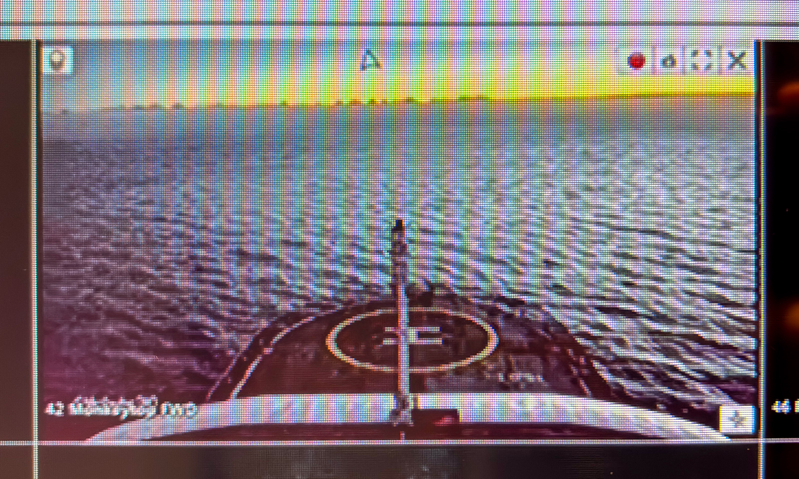
Yesterday we were on the open sea; last night we approached the coast of Svalbard. When I wake up, our position is 79° 2′ N / 10° 41′ E, about 15 km north of the northern tip of the island Prins Karls Forland. I can see the mountains, not through the scuttle (my cabin has none) but on channel 303 of the ship’s TV system.
When I go out right after breakfast, everything is foggy, but two hours later it has cleared up and for the first time in more than two weeks I see land again.
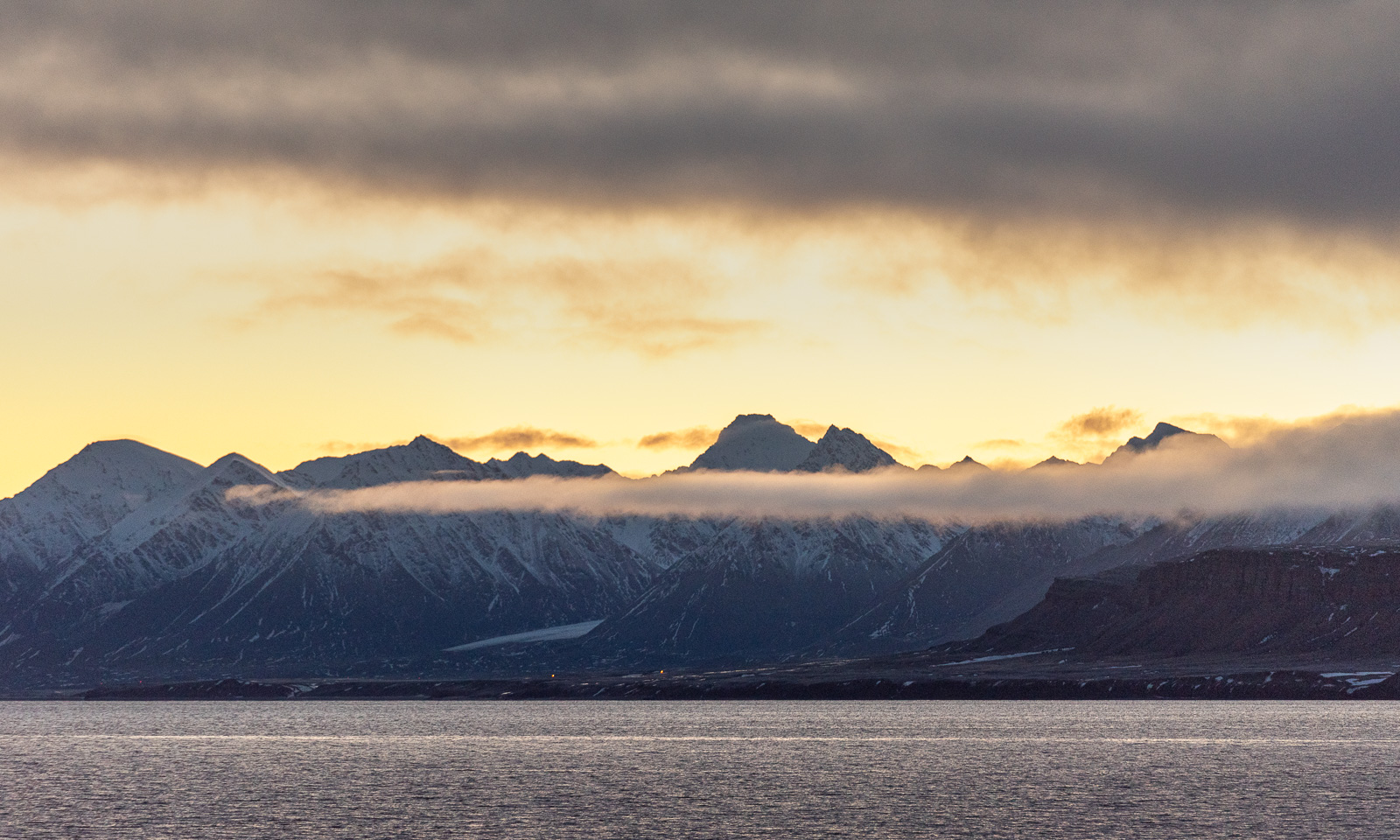
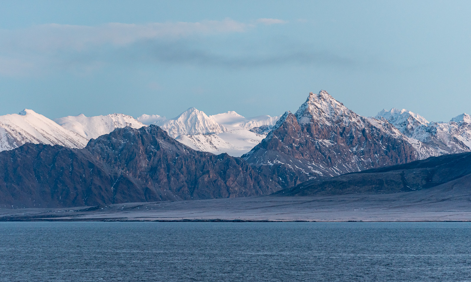
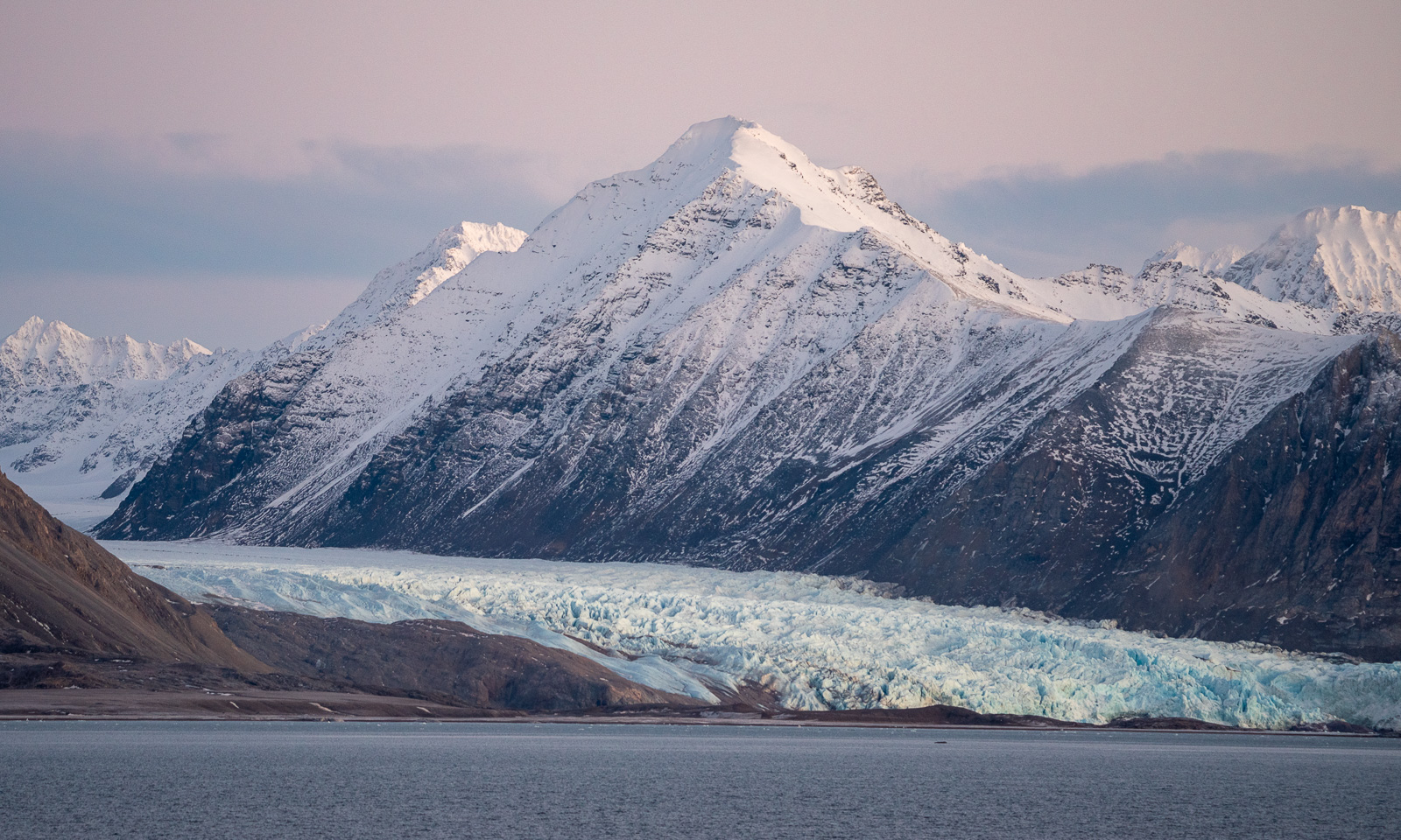
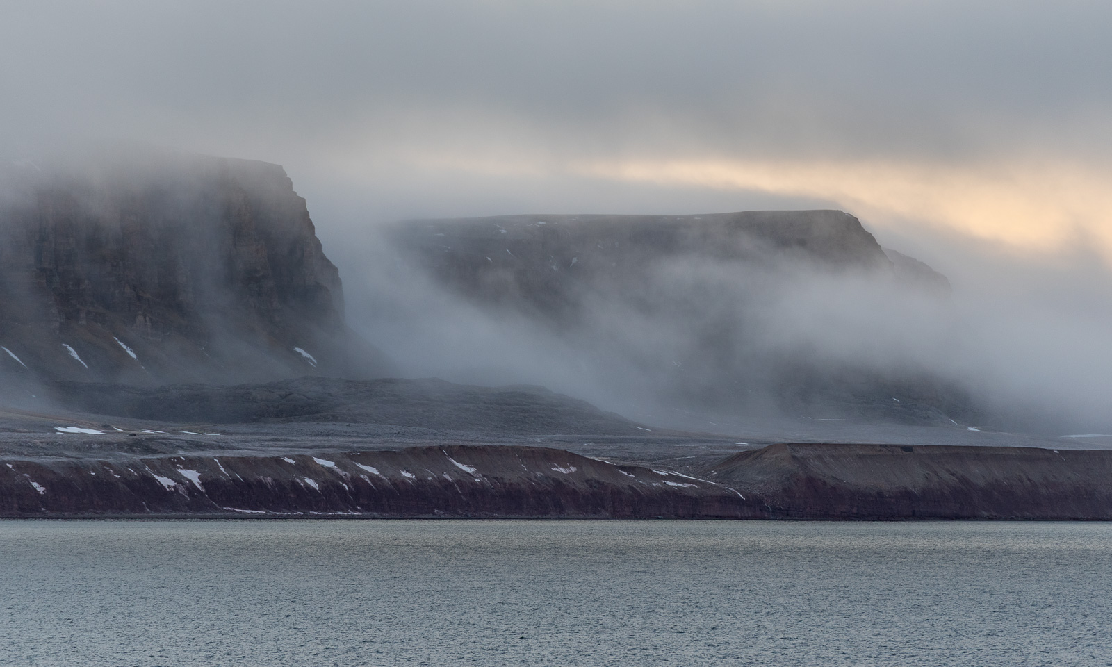
After lunch we have already taken the three westernmost CTD casts of our planned Kongsfjorden transect. Now we are heading east into the fjord. I’ve never been here before and I’m happy that the weather is clear. So I stand on the helicopter deck as I have done countless times before, but this time I am not alone. Most of the other cruise participants and some of the crew are standing outside enjoying the views of this extraordinary landscape, too.
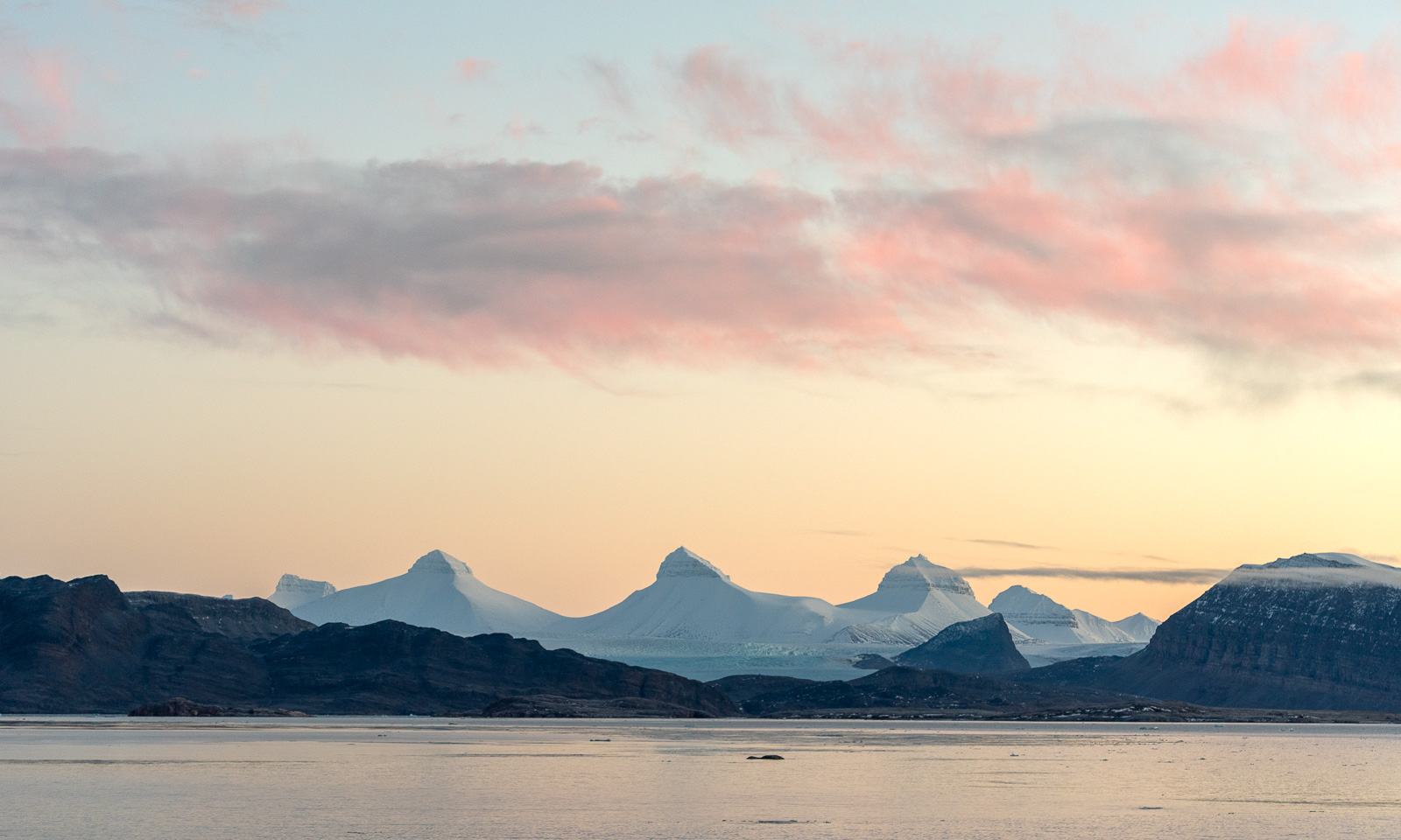
To the right in the south lies Ny-Ålesund, a settlement that provides facilities for research activities to 19 institutions, among others the Norwegian Polar Institute.
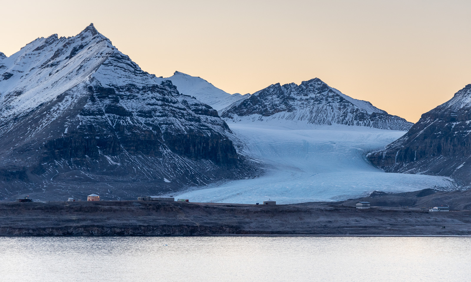
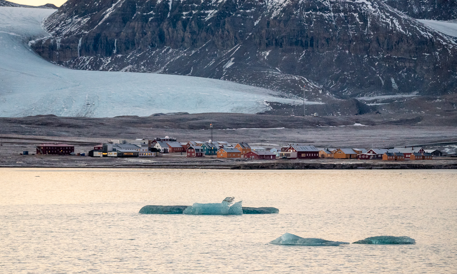
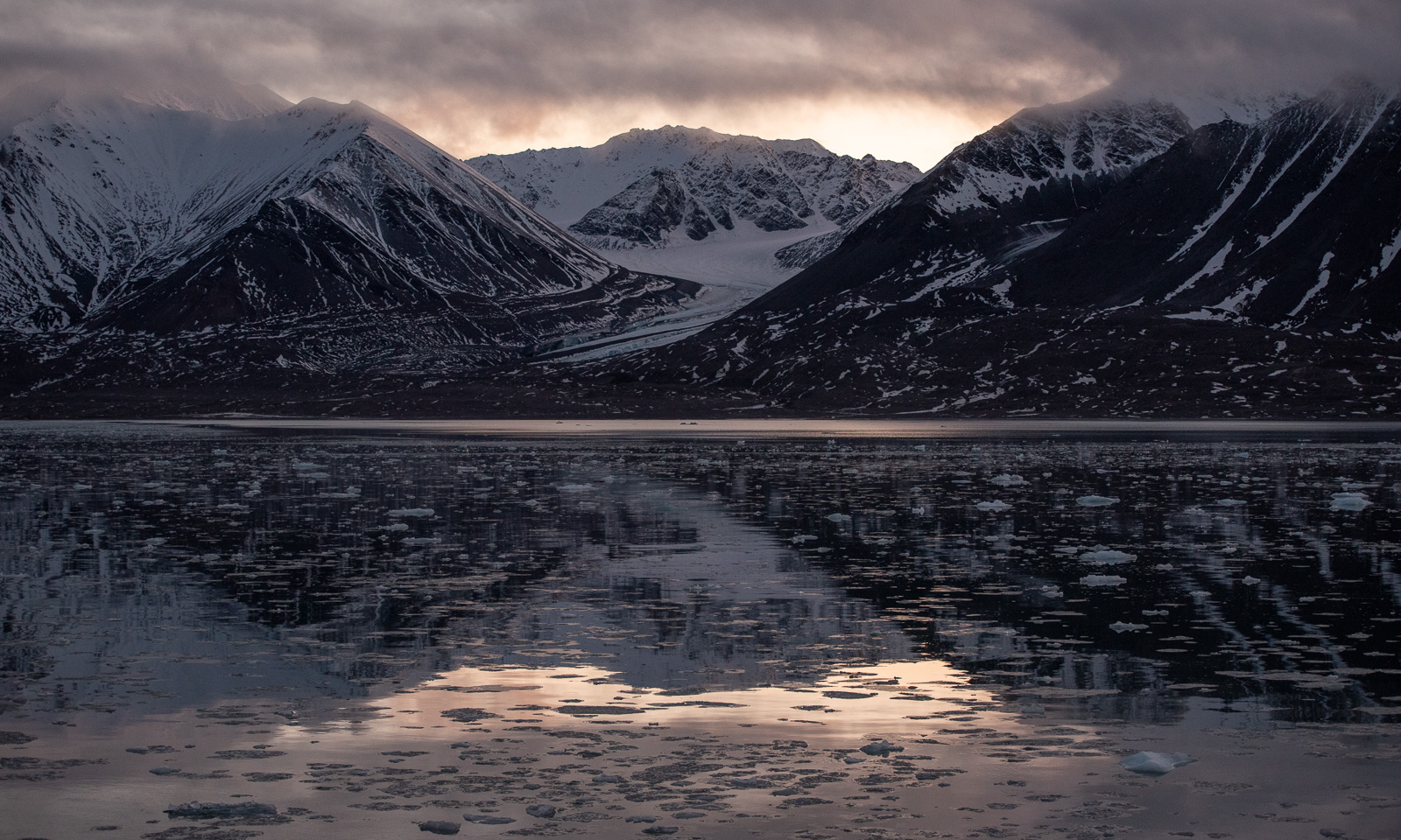
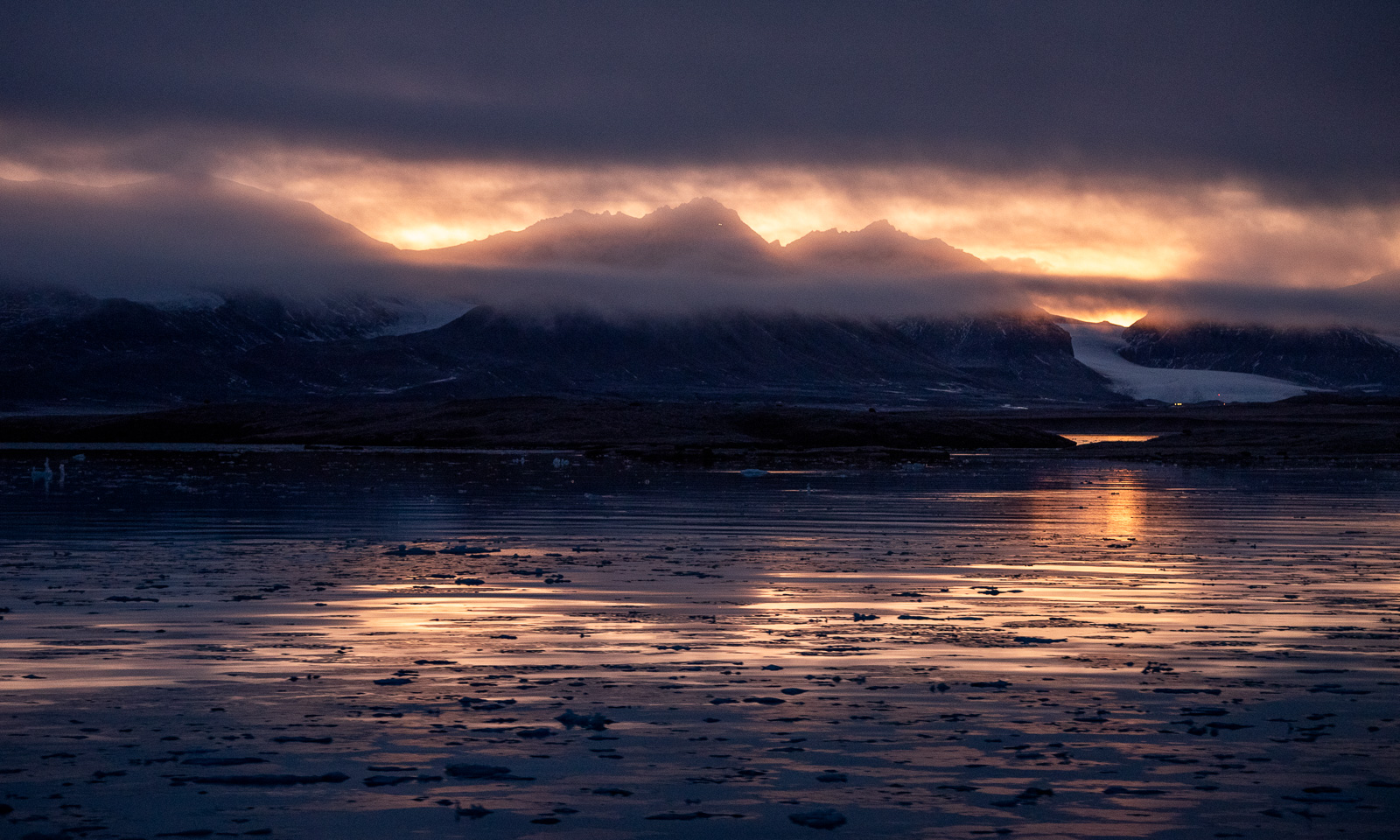
Further and further east we go. We seem to skip a CTD station or two. Or all? It turns out that we first go all the way east to the glacier front of the glacier Kronebreen to use and enjoy the daylight and then do the CTD casts back west thereafter. For about two hours I stand outside and take one photo after the other. The others also take pictures with everything between a mobile phone and a large system camera. I use my Nikon D750 and three lenses – 24–70 mm, 70–200 mm, and 150–600 mm.
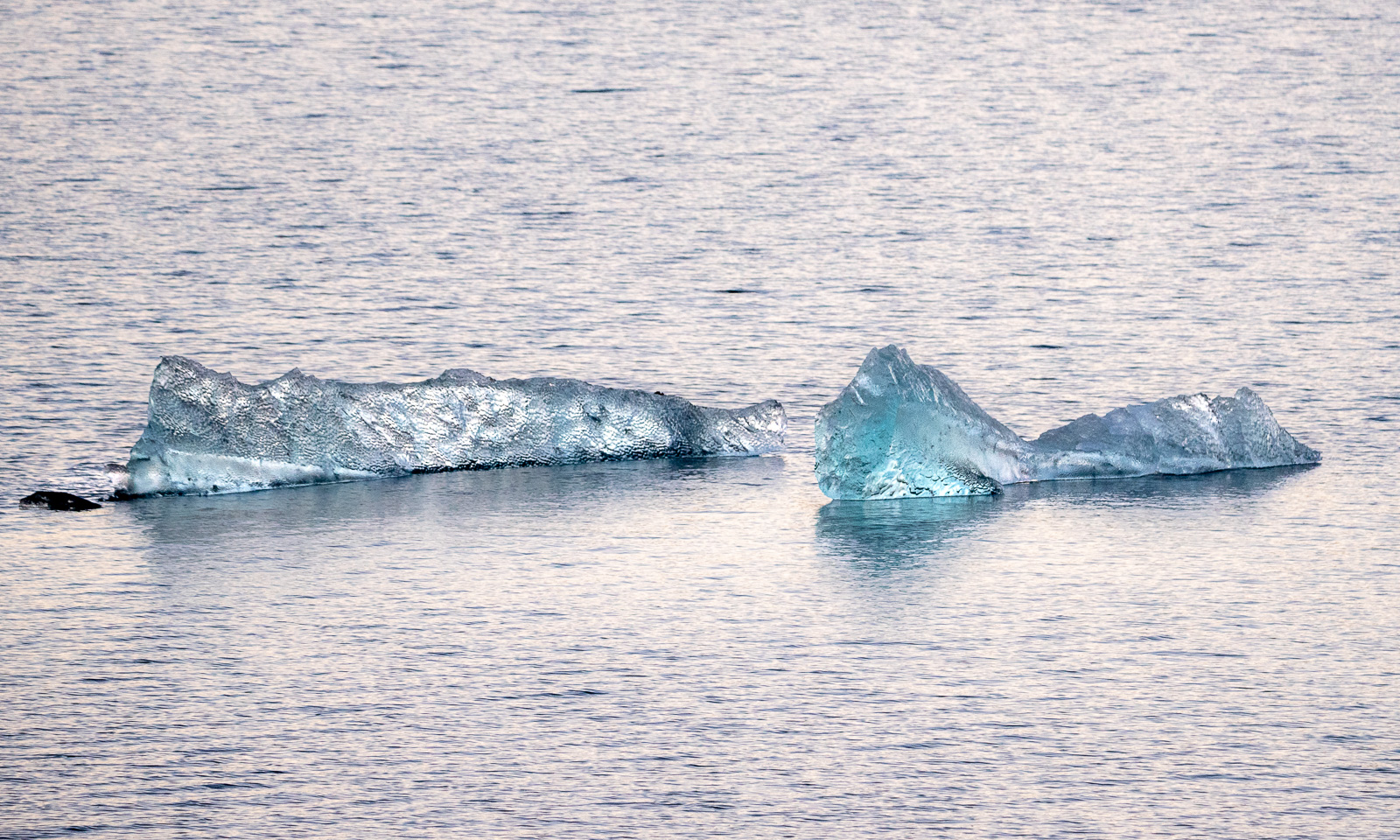
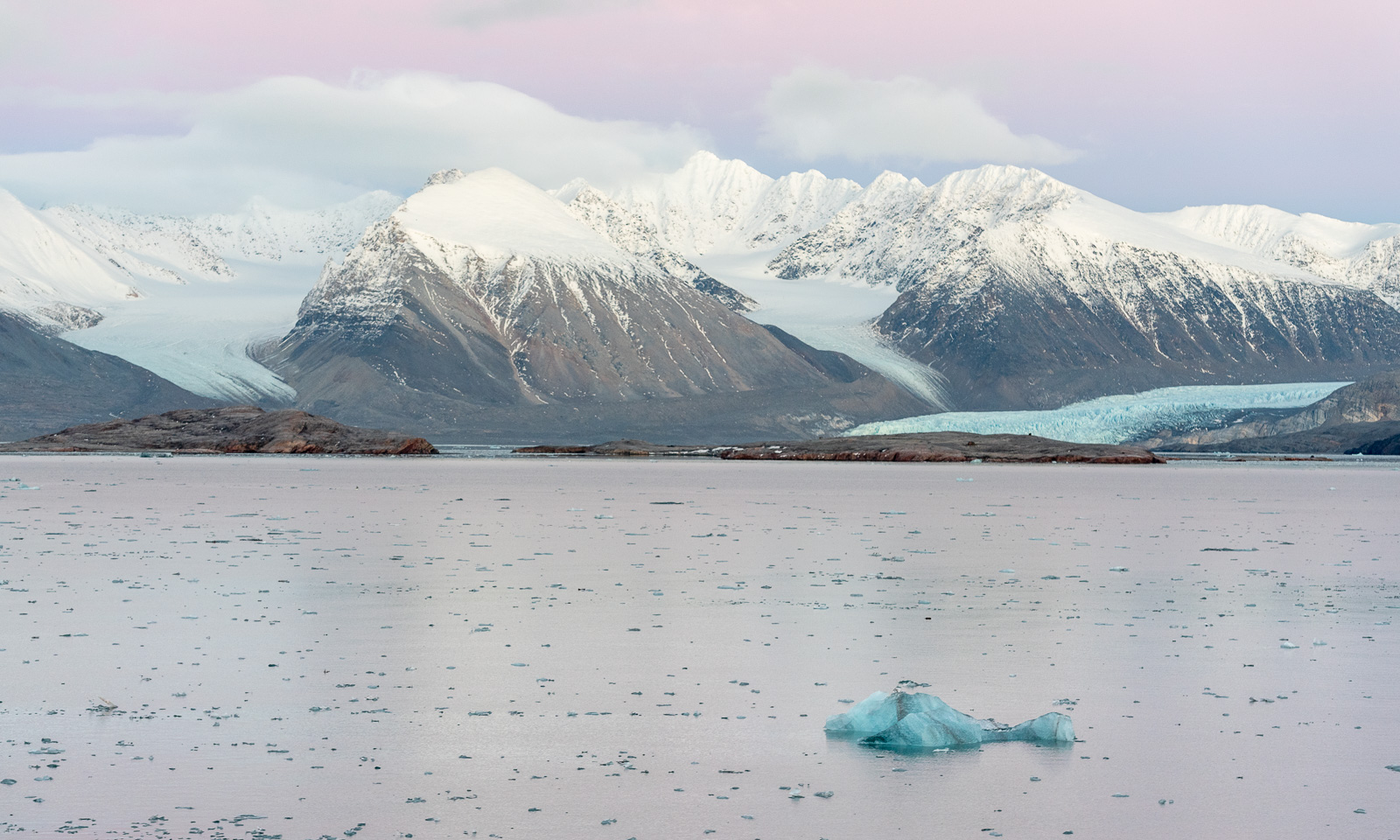
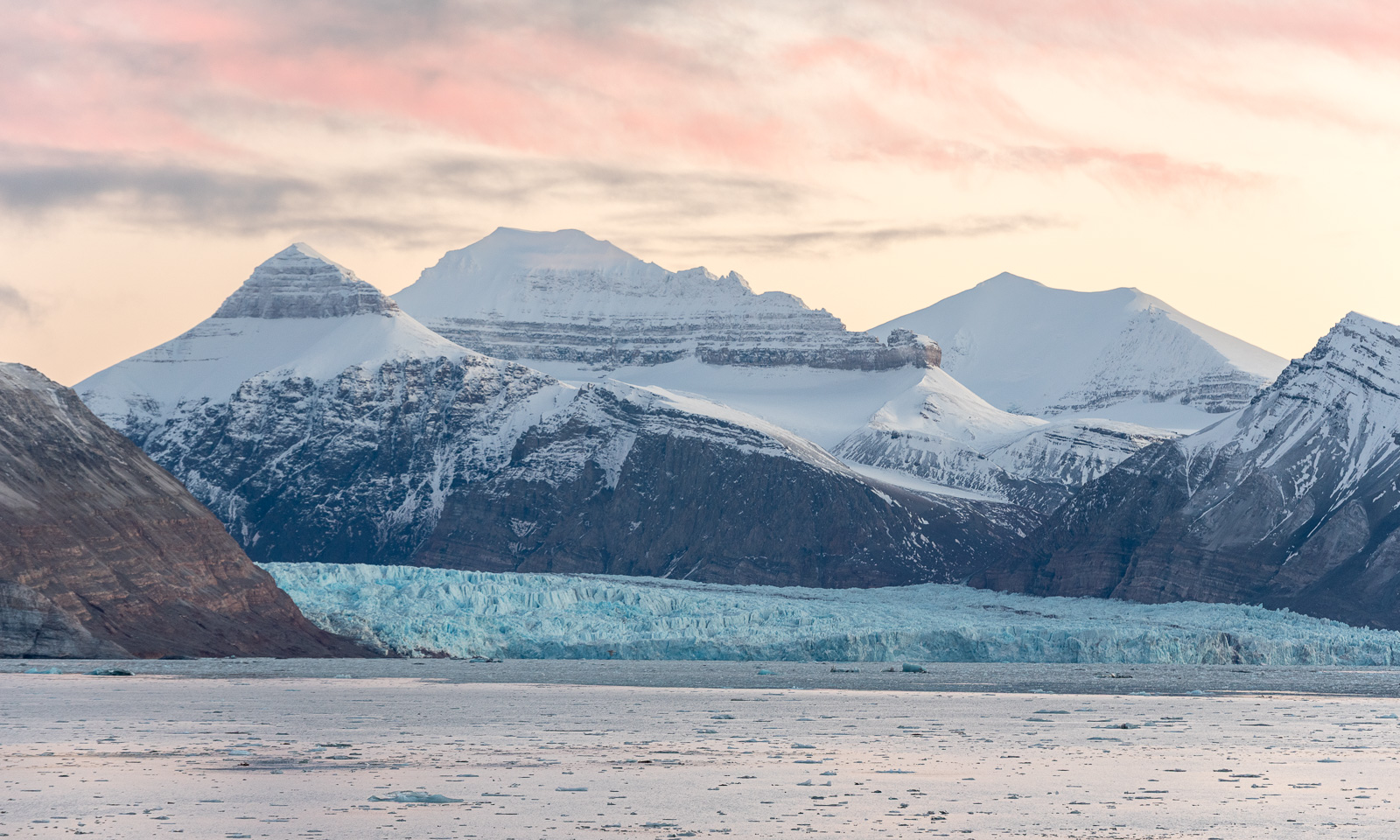
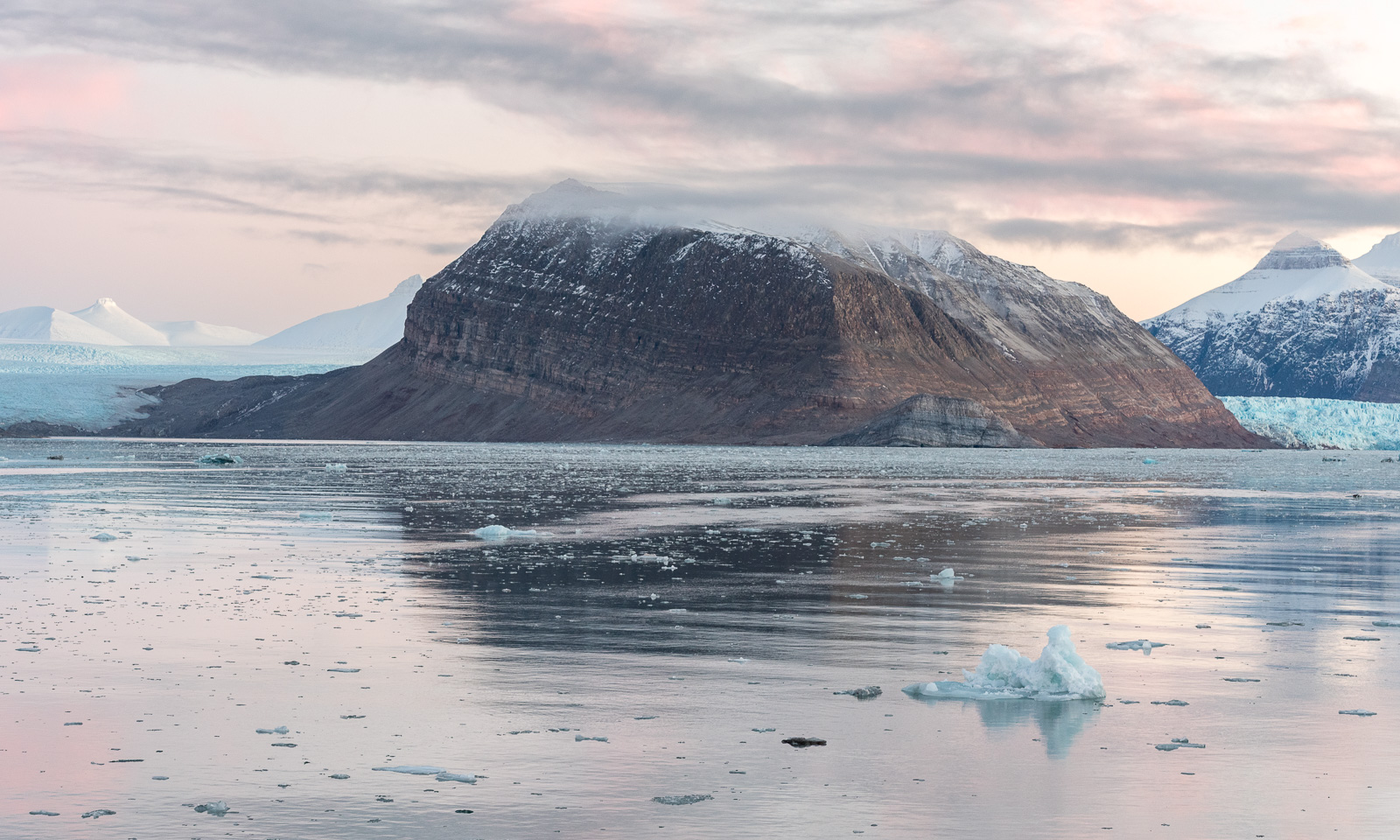
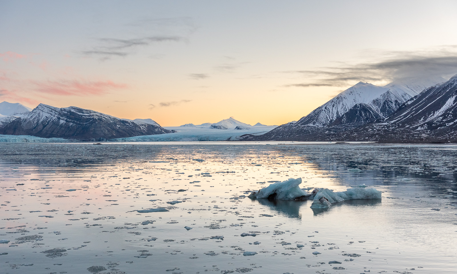
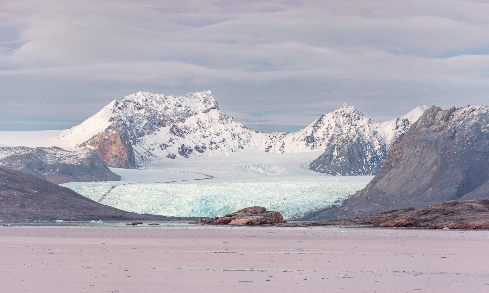
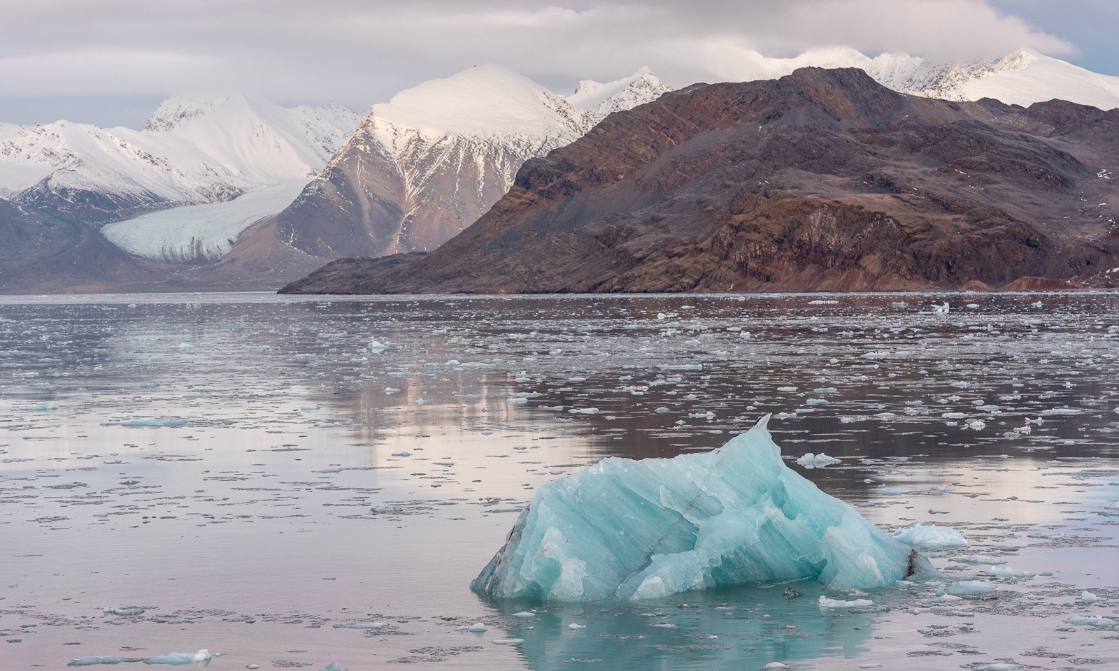
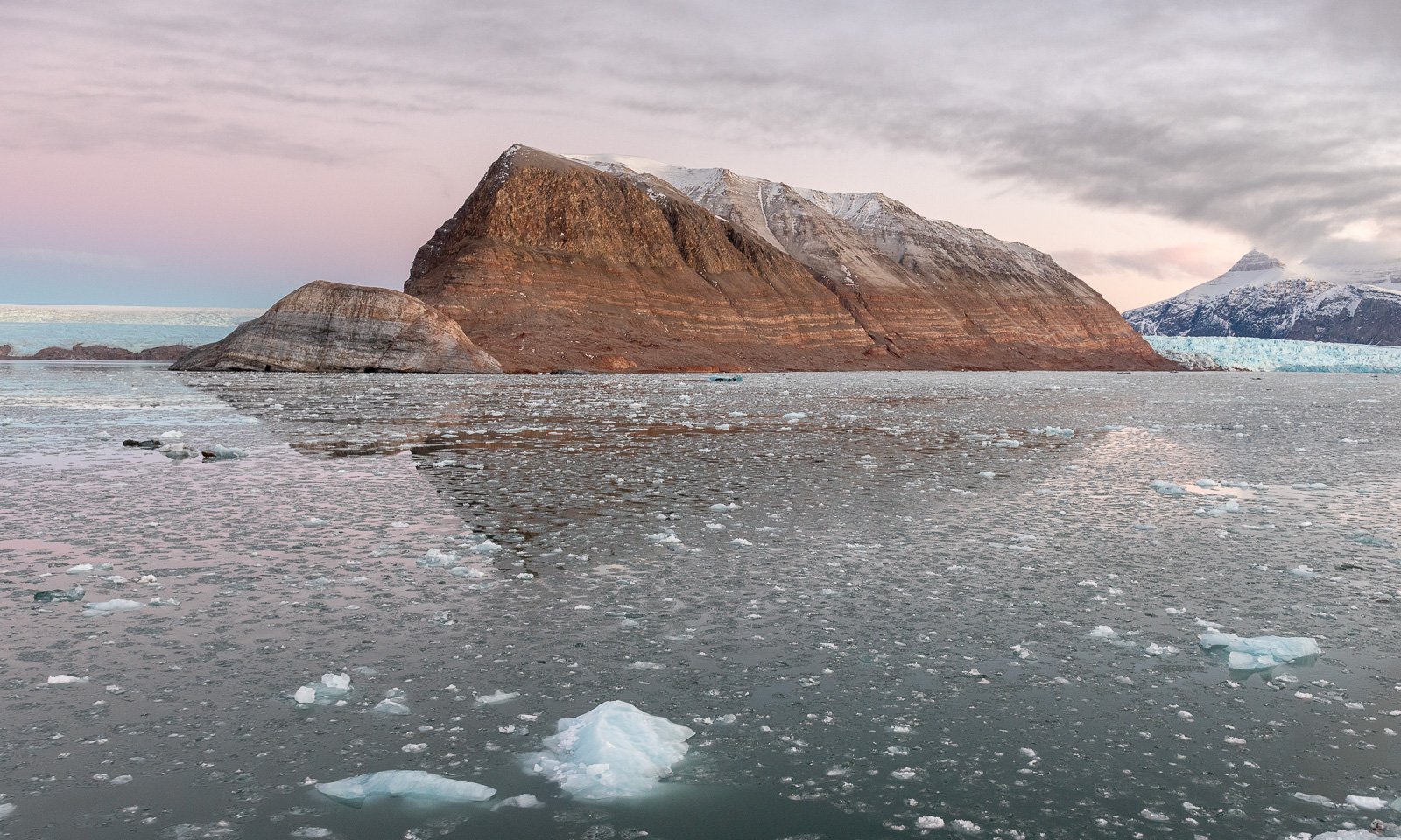
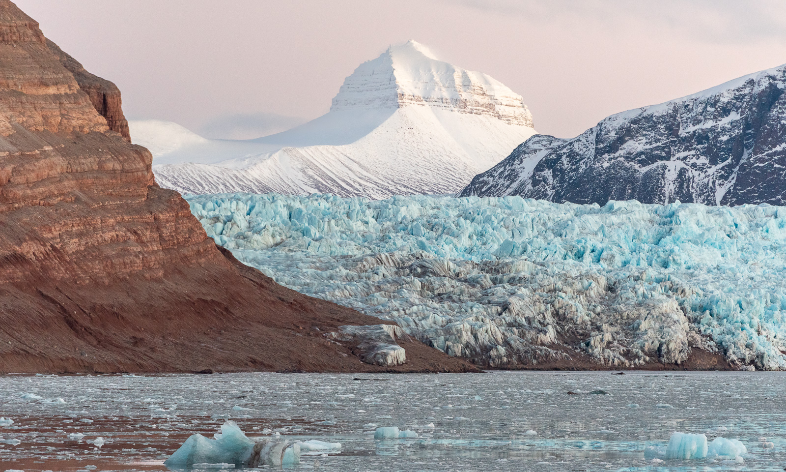
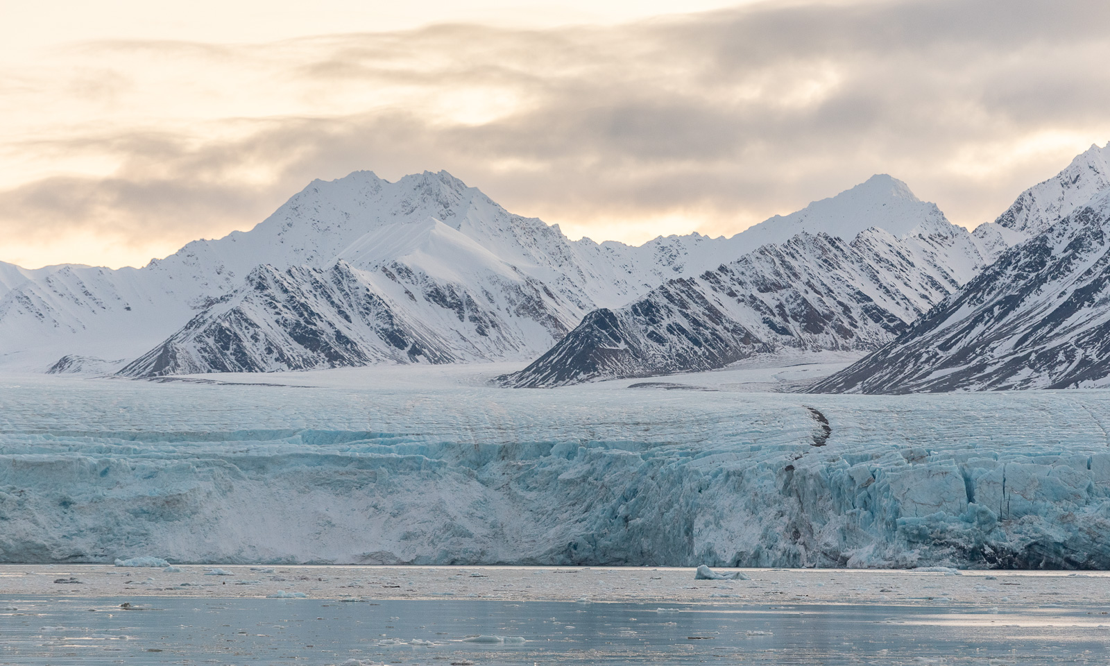
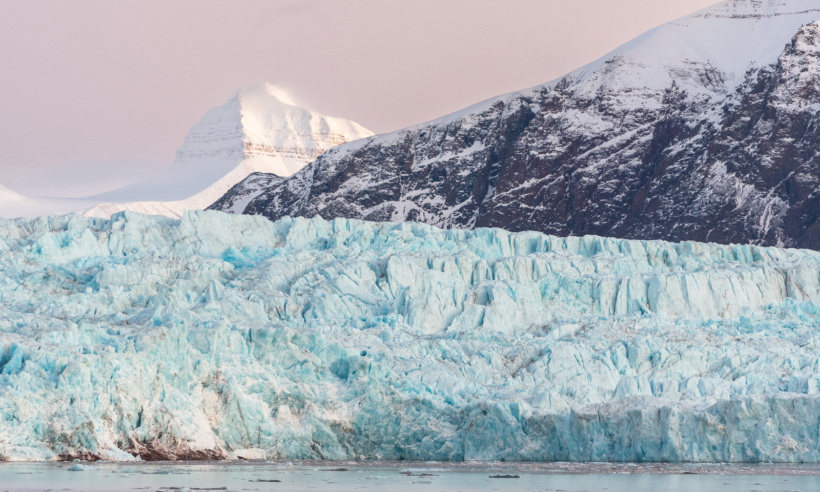
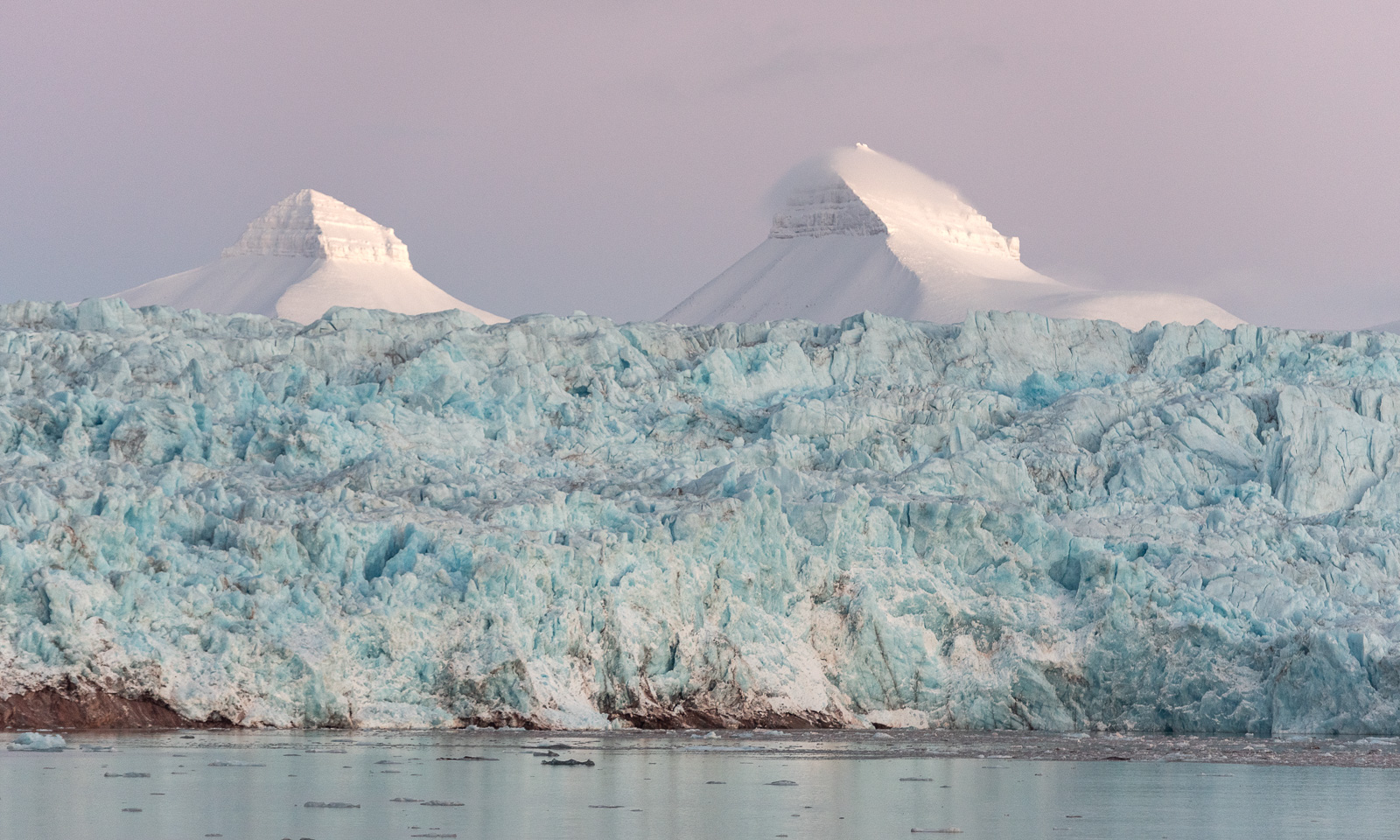
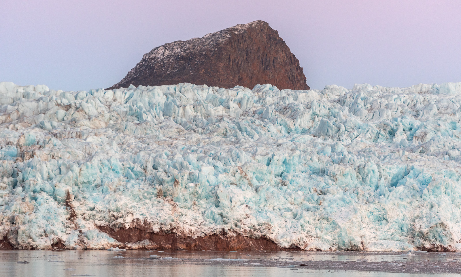
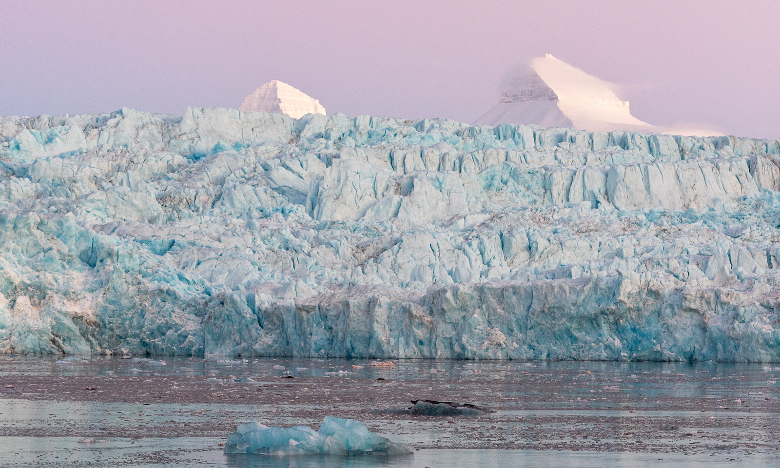
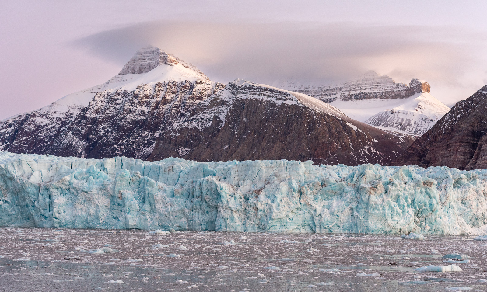
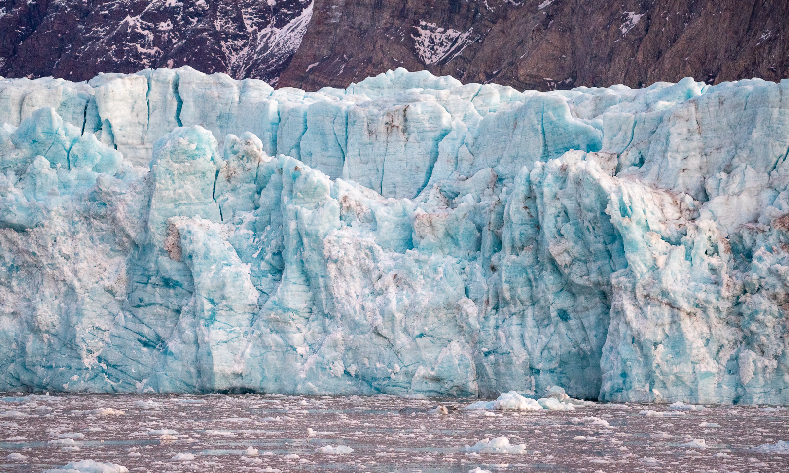
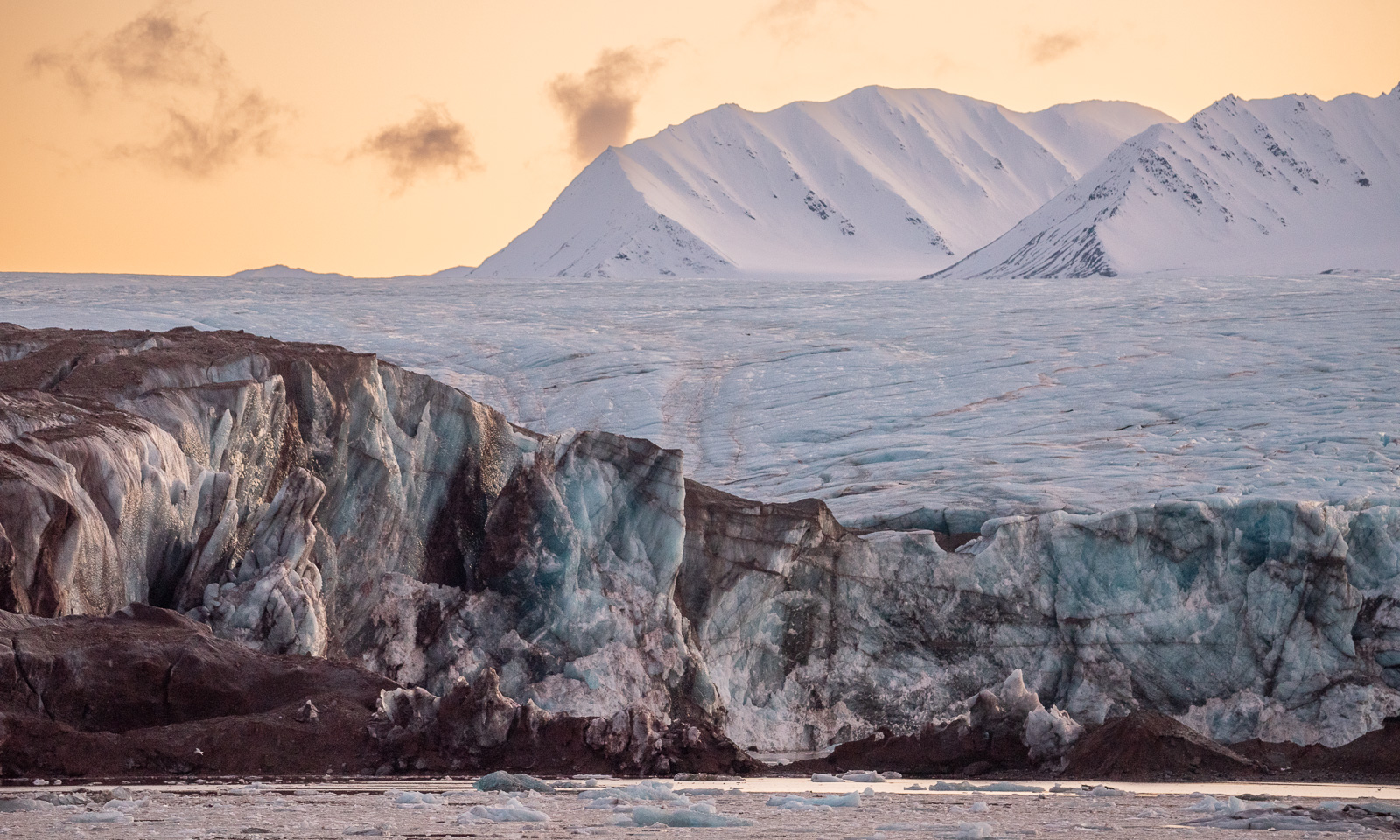
I am happy to experience this arctic landscape today, but I am also sad. I know that the human-caused climate change will change these landscapes drastically and that I probably belong to one of the last generations that can see glaciers calving into the fjords of Svalbard.
At around 2 o’clock we have reached our easternmost position. According to the ship’s navigational system we are south of the mountain Colletthøgda. According to the map service TopoSvalbard there is no open water south of Colletthøgda but the glacier Kronebreen. I’m afraid, the ship’s navigation system is right and the glacier has retreated a lot. The change has long begun.

I take some pictures in the early afternoon as well. The next photos are taken between 14:45 and 15:30 and you can see how dark it already is. The sun will not rise here before mid-February next year.
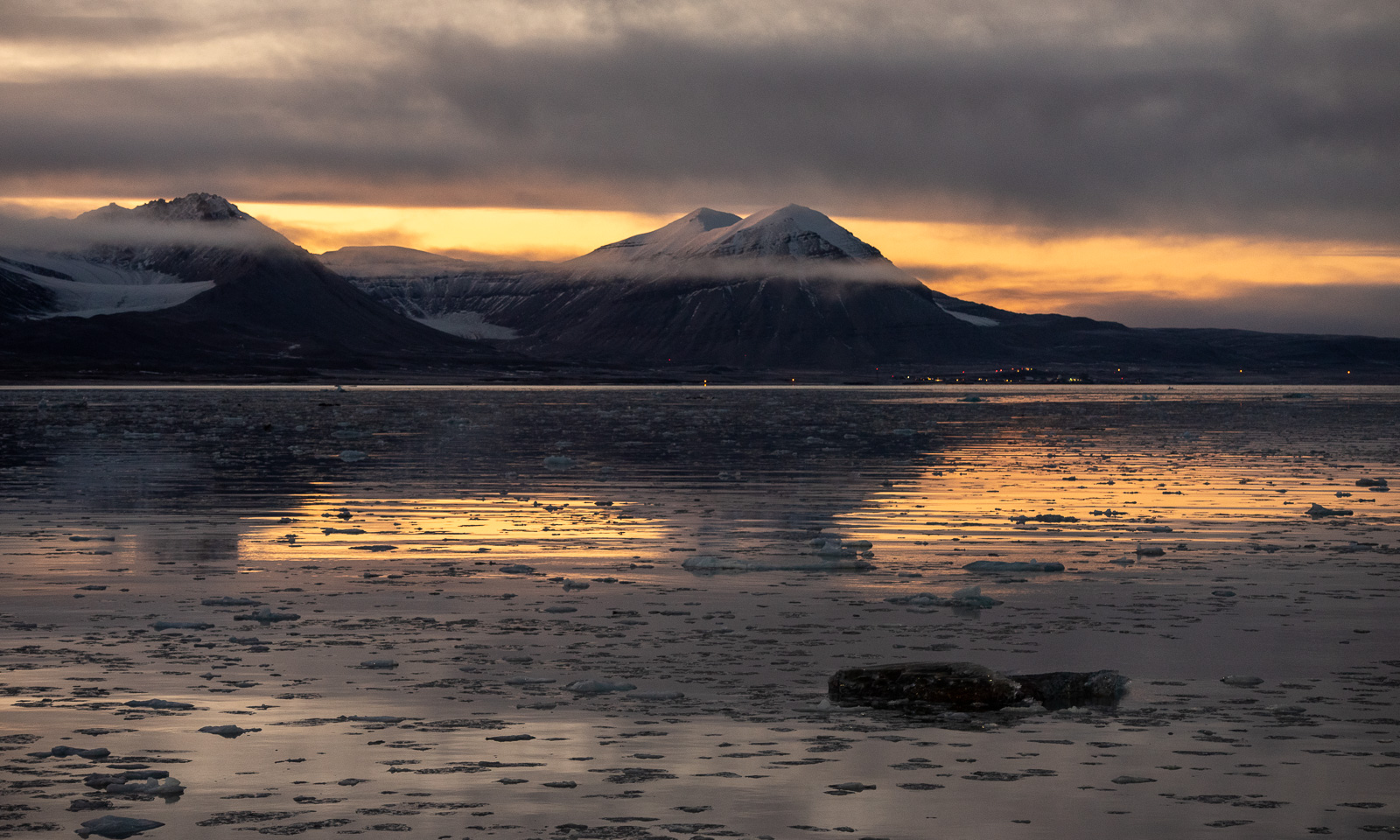
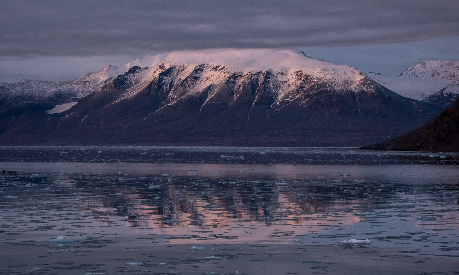
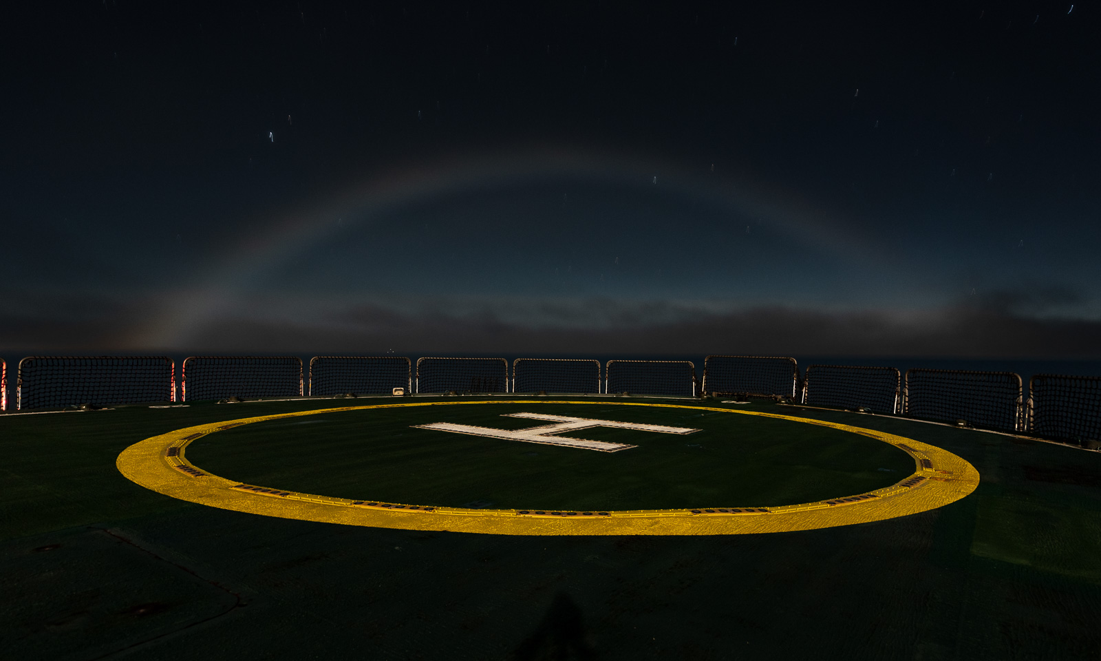
Around 19:50 – I am about to lose a card game – our cruise leader comes into the day room. She tells us that she has spotted a fog bow. Again I go out onto the helicopter deck – and it is still there. A flat, pale bow with the moon as a light source. I have seen a fog bow in daylight on another cruise two years ago, but never a lunar fog bow before. Pretty cool! Thank you, L.!