And suddenly it’s winter
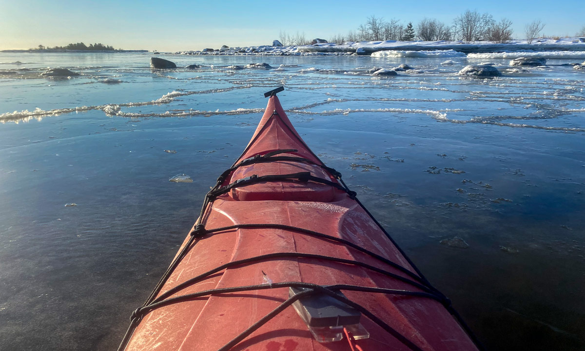
Last Tuesday it got sunny and I paddled kayak. On Wednesday it got cold and the small sound between island Lillskär and mainland was covered with ice.

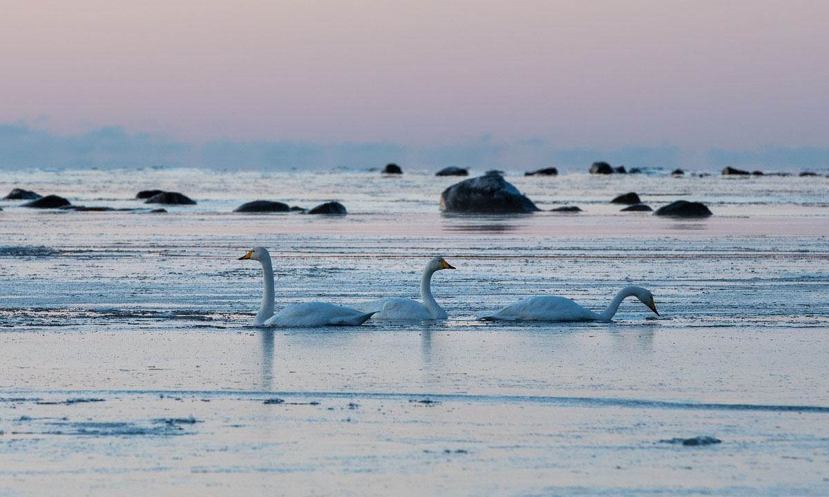
Although it’s mid-December and despite temperatures between -10 °C and -14 °C there were still whooper swans around. Don’t they migrate south? In the morning they managed to paddle through last night’s fresh and thin sea ice. In the afternoon the swans had left. Perhaps they finally decided to fly south.
On Thursday it snowed. In the afternoon 10 cm of fresh snow had fallen and everything was white and bright, even in the night.


On Friday Annika and I had a day off and visited friends in for a long weekend. They live in Kusfors in the inland, round 180 km north. On the way there and there we found more winter. It was not very cold but it snowed quite a lot. I took some images from the car while Annika was driving.


Yesterday on Sunday we came back to our house in Obbola round 20:00. Our property was covered with 45 of fresh snow. Since it had been sub-zero all the days the snow was pretty fluffy. We had to do quite a bit of snow shovelling – but after taking a photo.

Today it’s Monday and a new working week has begun. I had a lot of meetings today and therefore no time to paddle kayak. Oh yes, the kayaks … where are they? I know they lie beside the wooden terrace. Here they are, well hidden under a thick blanket of snow, right beside the window of the winter garden.

But there are other things to do as well. For example opening the afterwork ski season in Olles Spår near Umeå together with Annika. The snow is still soft and the cross-country skiing trail still slow but the first time of skiing is always special and we are happy and grateful that we live in a place where winter is around us.

Now it’s half past nine in the evening and I’m blogging. Snow is falling and the thermometer shows -9.5 °C, the same temperature as the last hours.
And you? What kind of winter do you like? Or do you prefer other seasons?