A winter journey from home to work
Last Saturday I travelled to work. Obbola—Tromsø, that’s round 1000 km – the reason why I do not commute weekly. This time it is a bit suspenseful, because there are two obstacles on my way.

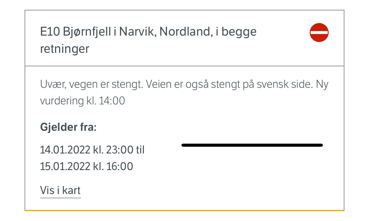
One obstacle is easy: taking a covid test at the test center. The other is much bigger: The road over the Bjørnfjell – the only road – has been closed for many hours due to stow storm conditions. Well, I start my journey anyhow. We’ll see.
At 5:30 in the morning Annika takes me to the train station in Umeå. The first 9½ hours were just a “normal” train journey beside of the train being mostly ahead of time. One change in Boden – nothing special, just long and a bit boring.


I leave the train in Abisko Turiststation where I parked my car. My car – will I find it or is it submerged under a pile of snow? To my relief hardly any snow covers my car. I already hoped so, because Abisko is known for its low precipitation because mountains in the west protect it from bad weather. Much more snow and rain fall on the other side of the mountain range and that’s exactly where I have to go through. Some minutes after leaving Abisko behind it starts snowing. Snowfall increased more and more but isn’t severe and the Swedish mountain road is open. Soon I cross the Norwegian border and …

… have to stop because of a lowered tollgate with a red blinking light. Beside of two trucks I am alone. I am relaxed because I know that the road has been opened for driving in convoy one hour ago (thanks internet!). I just have to wait for the large snowplough to fetch us.
After twenty minutes the tollgate went up and the red light goes out. That’s all that happens. I hesitate. And now? Do I have to wait? Or may I drive? I don’t dare and ask one of the Norwegian truck drivers. He answers I should just go ahead and so I do. The drive is snowy but not bad and soon I arrive at Bjørnfjell brøytestasjonen where the snowploughs are located and now also the Covid19 registration. I register myself, get a covid test and start taking photos while waiting for the result.


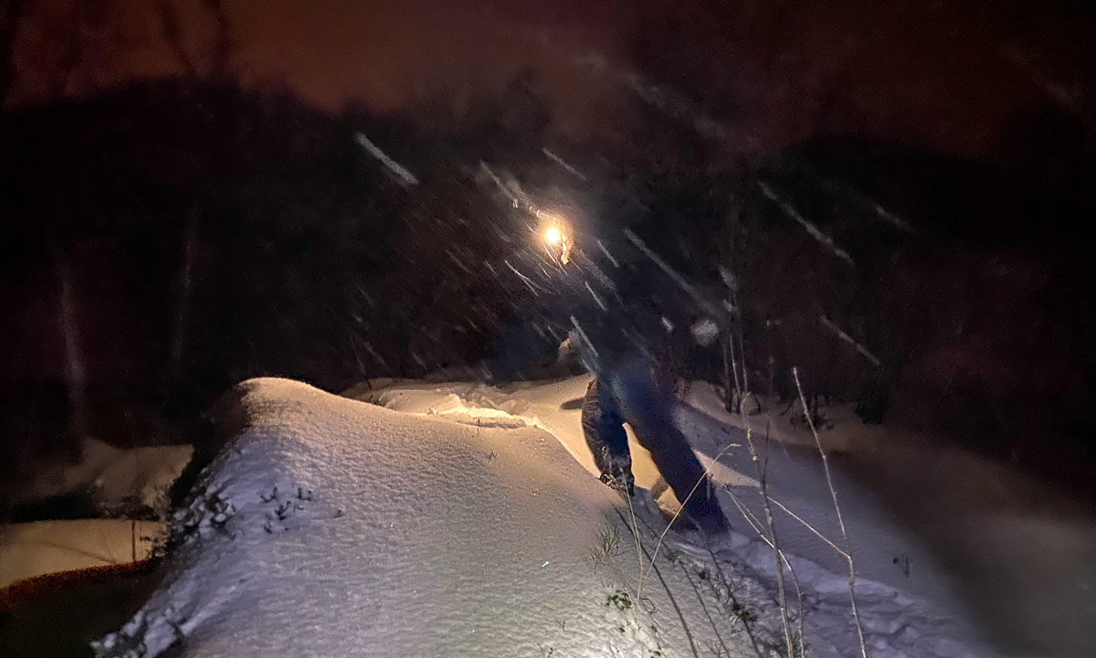
I take an image of a snowed in car. The snow plough driver goes to me and asks for what purposes I take photos. “Just for my blog.” “Ah ok, just curious.” Good to talk to him, because so I learn that beside of the mountain passage behind Bjerkvik road conditions are good. Here they got a lot of snow the last 24 hours and one of the cars looks like this:

After round 20 minutes I get a ping ♪. It’s an SMS with a link to my test result. Negative :-). 260 km to go, that’s four hours when conditions were good.
The first 100 km the road conditions are good and weather is ok. The next photo shows how driving looks like.

The next hour it snows a lot. Sight is still good. To my left and right everything is covered with snow, from the largest church to the smallest branch of a tree. Winter wonderland.
Then it starts to get nasty. Snowfall intensifies more and more and the snow has the consistence of superglue. My windscreen wipers hardly manage to push away the gluey snow and finally I have to turn into a side road and de-ice the wipers. Scratch, scratch … . I’m not alone. In front of me a car with a driver doing the same. Behind me another car stops. Am I in the way? No, just another scratch, scratch. On the other side of the side road another one.
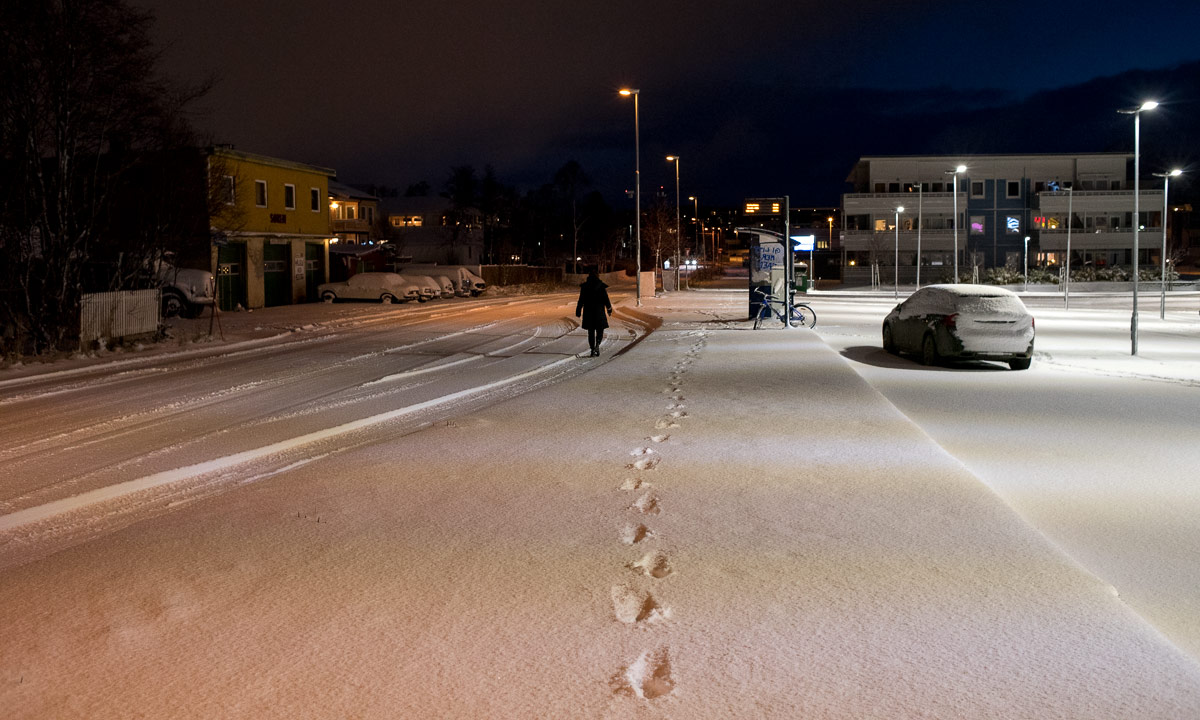
I still have some holes to peek through but it is extremely tiring to drive car through the night like that. Alas, after two hours I drive over the large concrete bridge Tromsøbrua and am on the island Tromsøya. Apparently Tromsø’s snow removal has given up. The minor roads are covered with 20 cm of snow with deep tyre tracks. I understand more and more why most Norwegians have cars with all-wheel drive (and so have I).
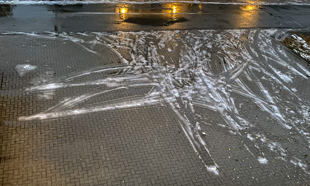
22:45. I make a last stop at the supermarket nearby that is open until 23:00. I’m lucky because Norwegian supermarkets close on Sundays. By the way: the supermarket’s parking place is in much better condition than the roads.


One other minute driving and I arrive at my flat in Tromsø after 17½ hours travelling. I’m tired but it takes another hour until I’m relaxed enough to sleep. Next week I’ll walk …