Kungsleden ski tour: From Nikkaluokta to Singi

This article is part of the series “2016-02: Ski tour on the Kungsleden”.

It was 2005 when I was asked by C. from Switzerland, if I wanted to join him on a ski tour on the Kungsleden – the King’s trail. That’s how I came to my first ski tour in the mountains of Swedish Lapland. More tours followed, but sometimes it was hard to find a tour mate. Same thing this year; that’s why I decided to do my first ski tour on my own.

Kungsleden would be ideal for that, since there’s infrastructure as mountain huts and I won’t be alone. Good to know, since even twisting an ankle could be a serious problem in winter if no one’s around. I wanted to start 19 February, the day, when the huts open.

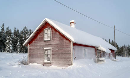
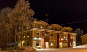
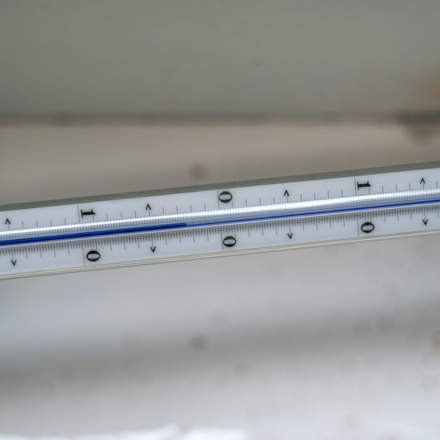
After a long trip I reached Nikkaluokta (many thanks to A. for the lift from Kiruna!) on the evening of the 17th I had one spare day in one of the cosy cabins of family Sarri. This place can be very cold and I had a look at the digital thermometer in the cabin: -44.8 °C minimum since the last reset – brr, that had been a cold day!

I climbed the small church hill and looked west. That’s were I’ll go the next day.

From Nikkaluokta to Kebnekaise Fjällstation

19 February · 19 km · Link to map

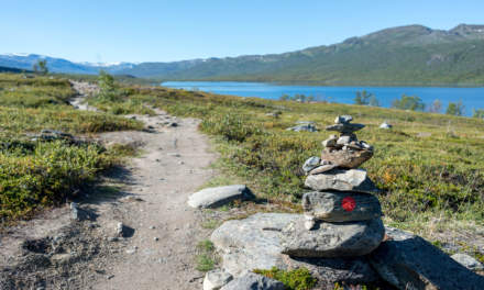
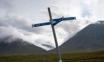
Time: 7:40, temperature -17 °C, weather: cloudy. Time to start the tour. I mount my skis, put the belt of the pulka (a sled for transportation) round my hips and after some gliding steps I see the first mark of the winter way to Kebnekaise.

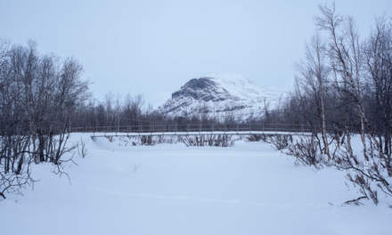
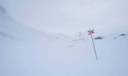
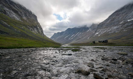
It’s the only mark for a long time, the winter way to the Kebnekaise Fjällstation is not marked, neither on the map nor in real. But it’s easy to find the way, since many snowmobiles take this way and you only have to follow their tracks. Soon I’m at the place where the trail crosses the stream Čievrragorsa. In summer I used the chain bridge, In winter the snowmobile goes right over the frozen and snow covered stream. I can hear the sound of water running underneath the ice – a strange feeling.

After some kilometers I come to the lake Láddjujávri. Here you can eat waffles with cloudberries or burgers at “Lap Dånalds” and even take the boat over the lake to shorten your trip a bit. Well – in summer …

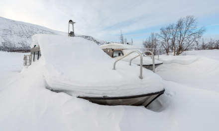
Hardly imaginable that I took a bath here six month ago on a hot summer day, when I was here with Annika. Not it’s winter, all is closed down, the boats lie on land and are covered with snow and I’m completely alone. Anyway it’s not too cold and I take a first rest on my tour. Without waffles, without a refreshing bath, but with the same beautiful view as in summer, since the sky starts to clear up and one mountain top after the other starts to get free from clouds, fogs and haze.

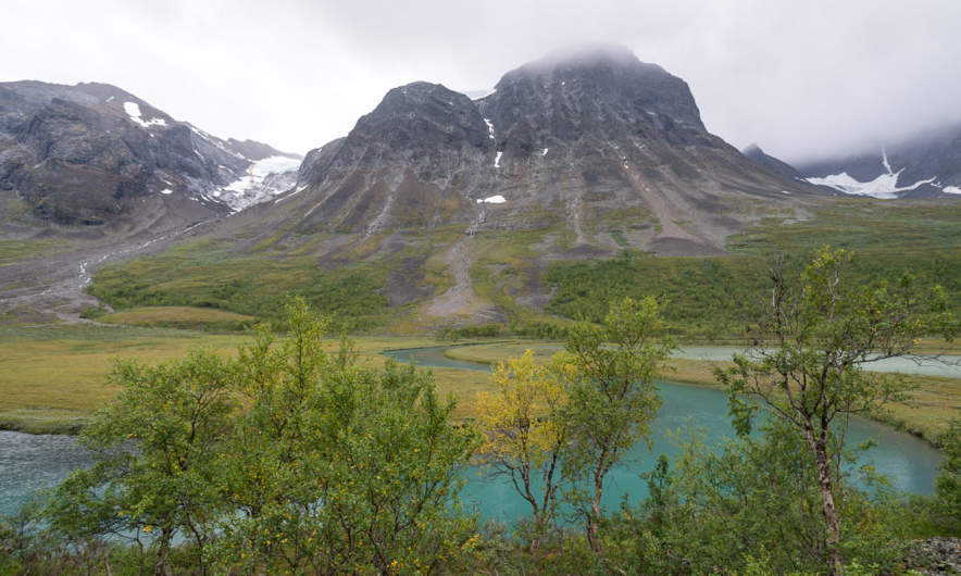
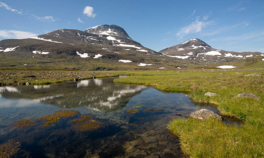
When I continue my tour over the ice of the frozen lake I soon can see the same mountain range as I did in summer. And it’s as beautiful as in summer, too.

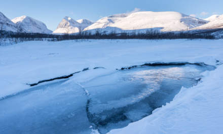
After some kilometres the trail leaves the lake and continues through scattered birch forests and over frozen swamps, some of them covered with ice. The weather is fine and sky is of a clear blue with some clouds.

Another rest, this time on top of a rock, with hot tea, chocolate, and a bit of salami. What a beautiful day! I could sit here for hours, but I shouldn’t. I have to reach the huts of the Kebnekaise Fjällstation. I do reach them, but before that I have to work. The trail ascends and I have to make wide V-steps with my skis to be able to pull the pulka uphills. Finally I arrive. This mountain resort is quite huge, since Kebnekaise is the highest mountain in Sweden and very popular among hikers, skiers, and climbers. Anyway it is not opened yet beside of the cabin Jägarn (“the hunter”). Here I’ll stay overnight before I’ll continue to the Singistugorna the next day. Twice I climb on the small hill with the radio mast, first after sundown, then at half past six – where I see the first polar light of the tour.

From Kebnekaise Fjällstation to the Singistugorna

20 February · 14 km · Link to map

When I wake up sky is blue again and -17 °C. I take a short breakfast with muesli and prepare for leaving. That means: packing all things – doing the dishes – cleaning the kitchen and my bed room – checking that I have everything with me – putting on skis and pulka belt. Meanwhile the sky is overcast and it has started snowing. Weather can change quickly in the mountains.

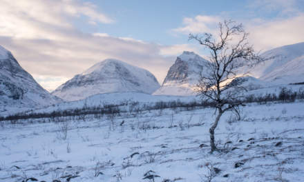
After I have walked some kilometres it clears up a bit, just so much, that you can see some mountain tops shining through the hazy fog.

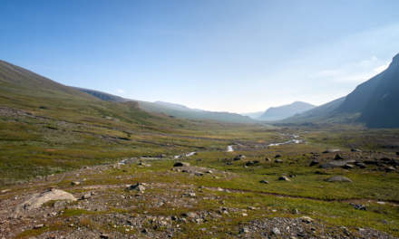
When I enter the narrow passage of the valley the mountain tops hide again, which is a pity. The mountains here are so beautiful.

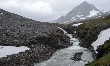
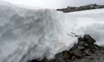
There is not much snow in the mountains this winter. Parts of the marked winter way lead over stony passages with no snow at all. I have to go round these passages to avoid ruining my skis and pulka. Mostly I follow the snowmobile tracks, hoping that the locals know the best way.

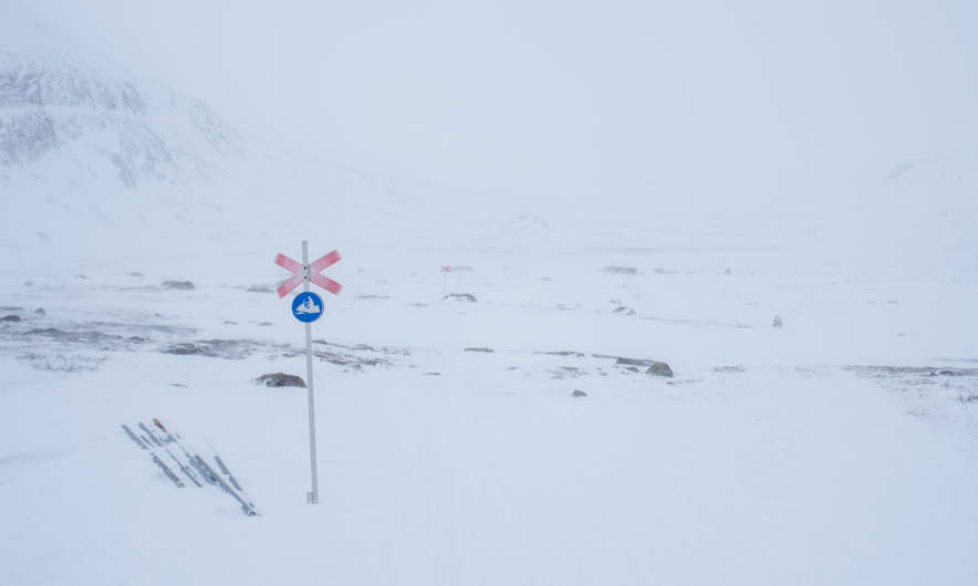
This way leads over the frozen river, but sometimes it’s hard to see, since the snow under the overcast whitish-grey sky don’t show any contours. Wind increases, snow falls as well and the snow starts to drift in the increasing wind. In the narrow valley between the mountains Siŋŋičohhka and Liddubákti more snow lies on the ground which makes it easier to ski but worse to see.

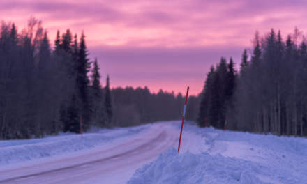
That’s when you are really glad about the winter way marks: Red crosses set on long poles. Sadly plastic crosses are used nowadays. They are ugly, in my opinion harder to see and many of them are broken. But I’m glad to have them anyway. They do not only show you the way, they help you even in guessing whether it’s going up or down, which you cannot see, if visibility and sight are poor.

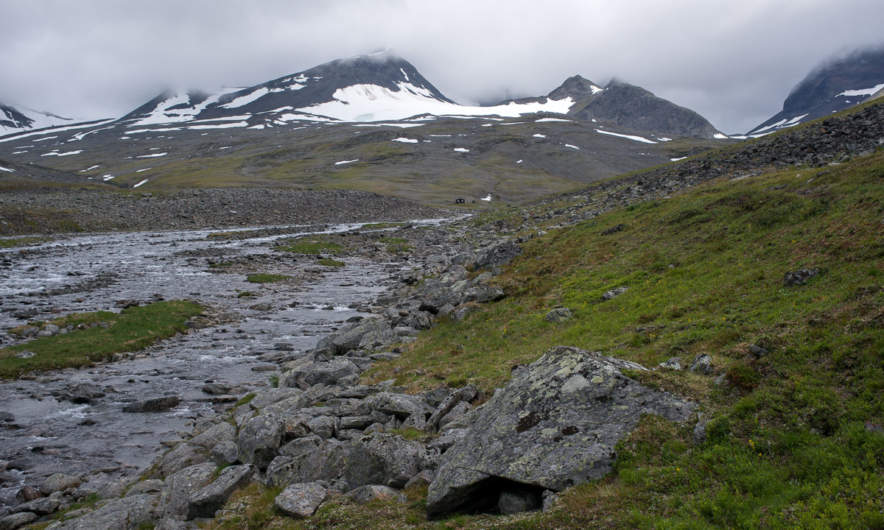
I always have compass and a good map with me on such tours. Anyway, if you cannot see any landmark these tools are of limited help if you do not count steps or know how fast you are on your skis. That’s when a GPS can be very handy. When I make another rest, longing for the mountain huts Singistugorna, the GPS revealed, that it’s only 970 meter to go. Easy!

Well, not really. The valley opens, wind increases and there are many rocks and snow-free parts on my way. I decide to circumnavigate a steeper passage and ski a bit to the right. To my big amazement I don’t go down but keep on level. Suddenly I feel part of the ground collapsing a bit and realise that I stand on the rim of a soft snow drift, about two meter high. It was absolutely impossible to see it. I’m lucky, that I didn’t fell down! I go back and circumnavigate my circumnavigation until I’m on the marked trail again. There I can see the cabins shining through the drifting and blowing snow. It takes some time to find a good way down to Singi but finally I arrive. Here the wind seems to be even stronger and the snow falls even more intense.

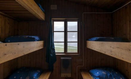
Stugvärd J. shows me my room, light fires in the ovens of the kitchen and my bed room and allows me to take my pulka inside since I’m the only guest. After doing some work he leaves and heads to his own cabin against hard wind and snow.

According to the forecast wind will increase even more and snow fall round 20 cm are expected. I’m glad, that I have time and plan to stay at least one other day in the Singistugorna, perhaps two.

The next article: Singi – from blizzard to clear sky >>

Short trip to Bjuröklubb

Yesterday I went to Umeå by car, but I took a detour. In Övre Bäck, where I made the photo from the “Winter tree” I left the E4 to drive to Bjuröklubb, a salient that reaches wide into the Baltic Sea.

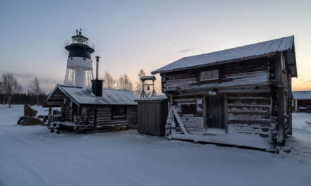
In summer, you can walk up from the parking place, eat in the Café Fyren or follow the wooden walkway up to the light house. In winter time this place is abandoned. I took my snow shoes and went first along the shore and then up to the light house.

Temperatures were between -25 °C and -30°C and the sky was totally clear. Another wonderful winter day.

A little expedition to the island Gåsören

Disclaimer: Don’t try this at home. Unknown sea ice can be dangerous just as very cold temperatures.

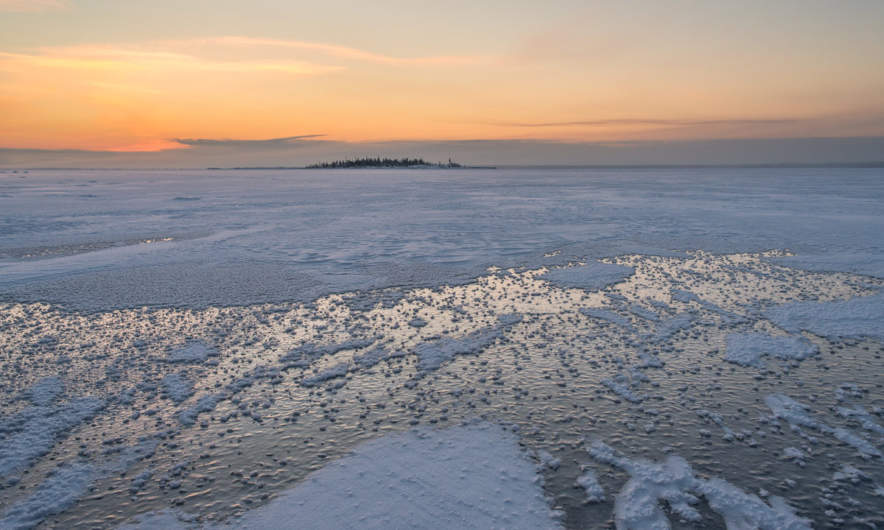
Today I had the plan to cross the ice and go to the island Gåsören which is one of my favourite places nearby. The challenge: Parts of the Baltic Sea were open five days ago due to the low water. How thick would the ice be and would I be able to go to the island?

I started at the little boat harbour Tjuvkistan and planned to go to the island Bredskär where I’ve been with Annika two days ago. This time I chose snow shoes and pulka to transport all clothes and equipment. I changed plans and didn’t head to Bredskär, but followed the ski tracks to the island Klubben instead – a better direction. In the dim light of the daybreak I could see Gåsören ahead.

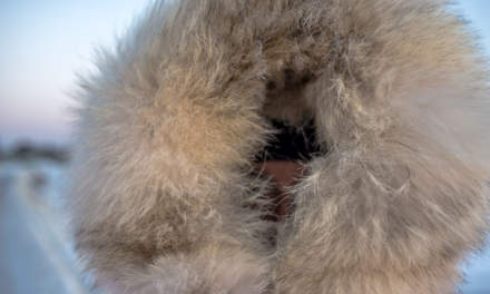
It was quite cold, round -27 °C and I was glad about my fur rimmed hood, that protects the face against wind and cold air.

I continued to the next island Flottgrundet, which is hardly 300 meters away. A tiny ice rim encircled the island and I took a small break. Normally I take breaks mainly for taking pictures, but this time I had another reason, too:

Beside of the tracks of a lonely hare I couldn’t see any track or trail to Gåsören. Is the ice safe and will it bear me? Since I already expected such, I brought along my survival suit, which is completely waterproof and has attached socks, gloves and hood, so that only the face would be exposed to the ice cold water in case of breaking through the ice. All other equipment such as camera, extra clothes and food was in waterproof bags.

I looked like a Teletubbie, (and probably moved like one too) but I felt safe. Round my head I had my camera bag and so-called isdubbar, that’s ice picks, that would help me to pull myself on land, if I had broken though. I put the snow shoes into the pulka and started crossing the ice.

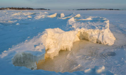
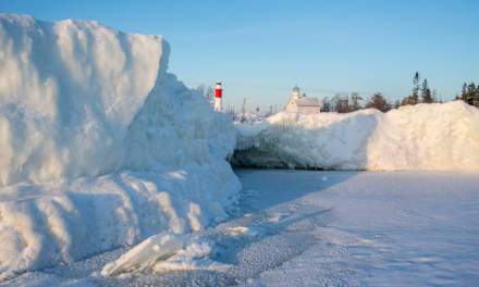
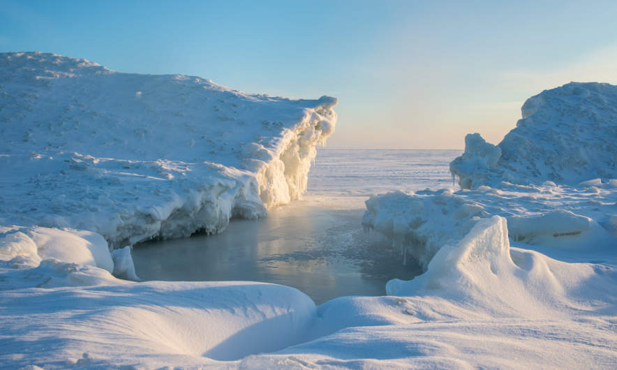
Round 700 meters later I reached Gåsören. I went ashore and was quite glad that the ice bore me without any problem. I unmounted the pulka but continued wearing the survival suit. I wanted to discover the ice rim on the eastern side of Gåsören and didn’t dare to do that without it. First of all I climbed onto the two meter high ice to get an overview. The risen sun started to light parts of the landscape in warm colours, while the snow in the shadows still looked cold and bluish.

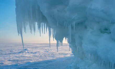
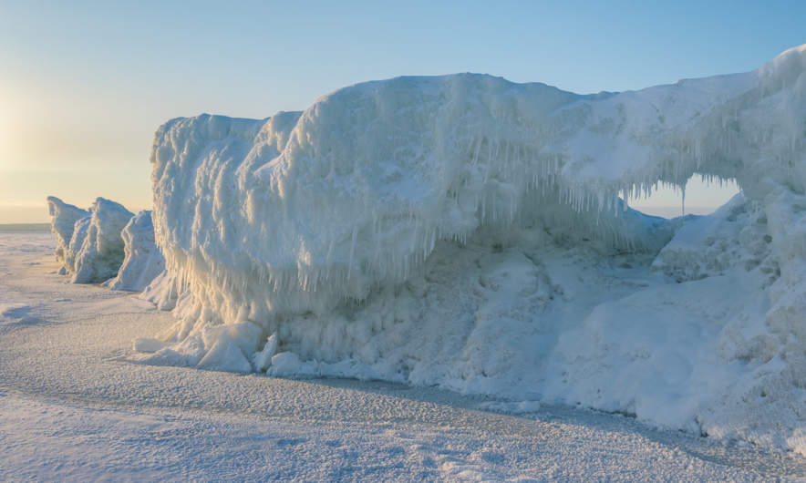
The next two hours I strolled around east from the island to take pictures from the amazing ice formations round the island. Some of them were up to three meters high. It’s interesting to see, how many different colours ice can have, both the ice itself and the sun light as the day progresses. While I walked round I could see the light houses of Gåsören, the new one (the red tower to the left) and the new one (the house to the right).

Meanwhile I protected even my nose that started to get cold. The danger is that you won’t realise, when the nose gets too cold and you really have to be careful to avoid frostbite. The neoprene survival suit is surprisingly warm, but not comfortable at all. Since it’s not breathable I started to sweat and become wet. I longed for warm tea and other clothes. I went back to the pulka, undressed the suit and slipped into the cold boots. Then I took tea, crackers, camera and a huge bin bag that wrapped my down coverall. I went to the other side of the island, this time on land and put on the coverall over the other jacket. Now I really looked like a polar explorer, but was just 5 kilometres away from home. It took a while, until I got warm again and another while to realise, that this suit is almost to warm for temperatures between -26 and -28 °C. But at least I got my hot tea, some cookies and I didn’t freeze at all.

Of course I continued making photos on land. I went round, took images of the big welcome-sign, the red-white light tower and even more ice. But after a while clouds came in and started to cover the sun.

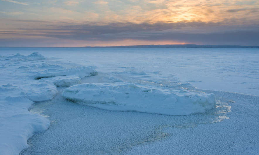
So I undressed my down coverall, went back to the pulka, packed all stuff into it and started my walk back to main land. I chose almost the same way to be sure, that the ice is stable. The sun vanished behind a layer of clouds, only a bright orange light pillar was left.

When I looked left I got reminded, that this fantastic tour was not in the arctic wilderness, but near home. The smelting works on the peninsula Rönnskär was within sight. The chimneys gave off clouds of smoke that racked southwards below the inversion boundary, but northwards above. When I was almost back on the main land I could see the red solar disk setting behind Rönnskär.

When I entered the car, it was still -26 °C below – one of the coldest days that I experienced in Skelleftehamn until now.

Conclusion: a great tour with a touch of expedition due to the coldness and the unsafe ice. Should be repeated when ice is safer and weather is warmer.

Addendum (2016-01-20)

This tour was more dangerous than I suspected. Not because of the weak ice but because the rubber gloves of the survival suit didn’t isolate good enough. Today – two days after – I got small blisters on all fingers but the thumbs, a clear sign for a second degree frostbite. My nose is a bit reddish and itches, probably a first degree frostbite.

I have full tactile sense in all parts of the fingers and the nose, but it probably will take some time until the skin heals completely.

The danger was, that I didn’t feel any pain in the fingers while being out. I just felt the cold when I removed the wool mittens. I never will make such an extended photo tour in the survival suit when it’s so cold.

Take care, photographers. Don’t risk your health for just some nice photos. It’s not worth it.


Hunting the cold – day #2

This article is part of the series “2016-01: Hunting the cold”.

Yesterday I travelled to Pajala to search the cold. With a minimum of -39.6 °C i missed the -40 °C.

Day #2 I stood up quite early, took a short breakfast and drove again to Käymäjärvi, where I measured the coldest temperature yesterday. It seemed to be colder than last night and directly after I turned left into the small road to Käymäjärvi, the thermometer showed -40.3 °C. First time below -40 °C – yay! At 08:37, nine minutes later it showed -40.7 °C , which turned out to be the coldest temperature I measured this day.

I continued the road to the end. Here a couple of lonely wooden building stand beside the road, obviously uninhabited, at least in the winter.

But now it was time to pack the pulka – a transportation sledge – and mount the skis. I wanted to make a ski tour, at least a short one. I parked the car at the place where I saw the aurora the day before.

I filled the pulka with warm clothes, hot tea, a bit of food, the camera equipment and such. Then I dressed for skiing. Here it was -37 °C and I dressed carefully to stay warm and avoid frostbite.

One of the telescope tracking poles was not possible to fix. I tried a workaround with the result, that it broke after 5 meters. I’ll have to buy new ones.

First skiing was easy, even with only one ski pole. The snow on the frozen swamp was hard and it was easy to pull the pulka behind.

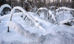
But then I entered the forest. Of course pulkas are not made for woodland and this forest was like a thicket of birches which sometimes bend down and build low hanging arcs.

I tried to turn left to find more open land (I was quite unprepared and hadn’t any map with me) and had to cross several small brooks. One of them was a bit larger, a bit deeper and I could here water floating under the ice. I had to unmount me skis and was quite nervous crossing the brook that I probably would jump over easily in summer but all went well.

I continued and wanted to make another photo, but not the camera. It didn’t work any longer. The D-800 just showed an ERR on the display, that was all. Now I was a bit of fed up: Only one ski pole in the midst of a thicket of birch trees and the camera not working. I turned and went back. This probably was one of the shortest ski tours ever.

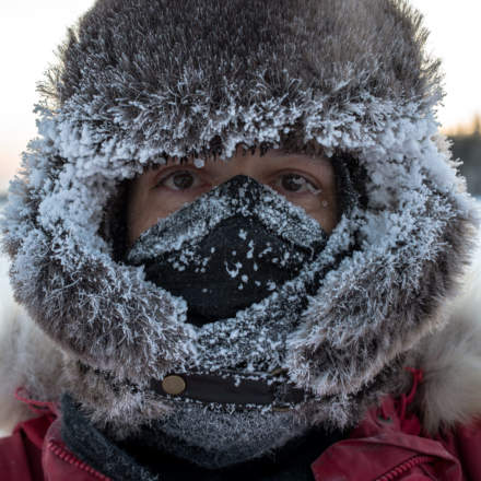
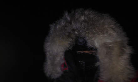
That’s what I looked like. The first photo is taken 10 minutes after beginning, the second right after the end of the tour. That was not easy: The Nikon D-800 was out of order, the iPhone is not made for cold temperatures and the batteries of my auxiliary camera were left in the car and didn’t work neither. But at last I found a battery that worked for the moment.

You see the fur cap? Some equipment that I have is really expensive, for example by Canada Goose down parka (not on the photos above). The fur cap however is from H&M and costed only 10 Euros. You can hardly call this professional equipment but it worked extremely well.

When you exhale in this cold the air flickers as it does over open fire. No surprise, the temperature difference is round 75 °C. When you inhale you should wear a buff or a scarf to protect your lungs. Remember the temperature difference?

I was so glad that the car copes with the cold. It was -36.9 °C outside and -35.1 °C inside when I started the car after the tour. It took only two seconds and the motor was running. Only changing gears is heavy as long the system is so cold.

On the way back temperatures dropped again below -40 °C. Time to many another selfie – a ridiculous one: The camera inside, holden by a long arm, me outside in front of the car. To my big relief the Nikon camera worked again. The motive: The temperature at the left, me outside with my parka at the right. It didn’t work as excepted. Where’s my face?!

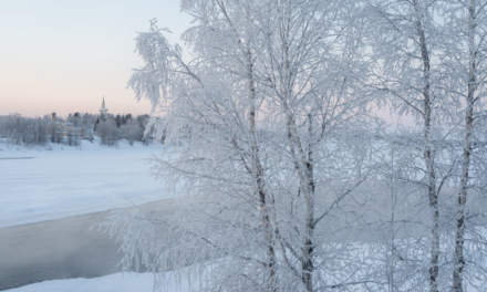
Back in Pajala I admired the fragile birch trees covered with frost beside of the river Torneälven. In the background the clear sky with colours from pink to azure. It seemed to be even colder on the bridge that led over the river back into the city. I could feel the wind through my gloves and mittens and even the nose started to freeze together with the camera when taking photos! I closed my hood completely which looks a bit ridiculous, but I stayed warm.

I took my anemometer (A birthday present to myself) and measured the wind: 20 km/h. The temperature: -36 °C. That makes a wind chill of -51 °C! That’s what I call coldness!

I took a lunch and headed home since weather in this region should worsen, while the forecast for Skelleftehamn looked quite good. It was hardly warmer than -25 °C on the whole journey back home.

At 7 o’clock I arrived home. -28 °C outside – time for a hot bath!

Hunting the cold – day #1

This article is part of the series “2016-01: Hunting the cold”.

Two days ago it looked like that it could by quite cold in Northern Sweden yesterday and today. I checked several places and their weather forecasts and Pajala with a forecasted temperature of -40.4 °C won. That’s good news, since Pajala is only 350 km away. Nikkaluokta for example is one of the coldest places in Sweden, is 537 km away and it will take more than 6 hours to travel to (when conditions are good).

Yesterday – 6 Jan, 2016 – I packed kamera, very warm clothes and all you need for ski tours into my Saab and started the trip. In Skelleftehamn it was -17 °C, but already 20 km away the temperature dropped to -20 °C.

I made a stop in Jävre. I’ve passed this place several times and every time I planned a future stop. Well, future was yesterday. Jävre -23.3 °C.

I continued the trip and the temperature continued dropping. Round half past ten I could see the sun – it was bright red (the camera couldn’t catch this) and because of the higher latitude it was even lower above the horizon. -27 °C.

Now I continued driving to avoid arriving too late. Right after Svartbyn (E10) the thermometer dropped below -30 °C the first time. Round 40 km later I turned right. Here temperatures dropped below -33 °C. Near Pentäsjärvi – 25 km before Pajala – it got even colder: -36.9 °C. I probably experienced colder temperatures, but never saw such low numbers on a thermometer.

I found a quite low-priced room in the Hotell Smedjan but I continued driving around looking for nice (and cold!) places.

One of the most fascinating things in my opinion is the light in wintertime. Twilight may last hours or even the whole short morning, day, and evening and there are always soft pink colours in the sky. Just beautiful, but cold to take pictures of if you don’t have warm clothes. But when I have one thing, it’s cold weather equipment.

I looked for the airport, which is a bit out of town and quite tiny. It was closed. It’s the first airport I saw with an own parking place for reindeers. Good to know!

On my way back to Pajala I found a side road that headed to a small national park. I parked the car and walked the 700 meters to the cabin and the grill place in darkness. Of course it wasn’t pitch black, the snow and some thin clouds reflected the light of the city, giving enough light to see and walk. (The selfie is made with the iPhone which can take two photos until it will shut down because of the cold.

On the way back it was even colder: -38.8 °C. Now I got really hungry, drove back to the hotel and walked to the pizza restaurant. (Pizza and burger bars rule the Scandinavian north). Pajala by night:

Then I went home. I was glad that I have all I need for such a trip: A camera, food and a warm winter parka.

After a while I considered if I could catch the -40 °C now. It was warmer than expected, but let’s give it a try.

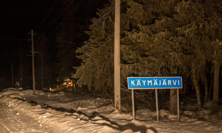
This time I took the road to Käymäjärvi (the name proofs, that Finland is not far away). Yes, here it was quite cold – below -39 °C. Between a swamp and the lake I stopped, since these low lands can be cold traps. I didn’t get lower temperatures but a view on the village and northern light (quite strong until I was ready to take pictures …)

On the way back to the main road I got my new personal cold record: -39.6 °C (sorry, no -40 °C)! When it’s really cold in Northern Sweden people take pictures of thermometers and show them in the internet. I will join this tradition. Voilà:

>>> read about day 2 of the journey >>>

The first winter day in Skelleftehamn

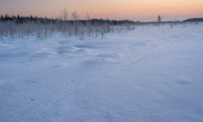
After a period of weather with mild temperatures and rain it started to get colder yesterday and the last two centimetres of snow in Skelleftehamn didn’t melt away. Temperatures sank below zero yesterday afternoon and this morning the thermometer showed -7 °C. The morning was starry and above the western horizon the sky was already blue, even if sunrise was still two hours away.

A good day to make some winter photos.

The first one is shot at the kanotudden – the canoe bay which is a large bay of the Skellefteå river in Ursviken, 5km away. Parts of the bay are quite shallow and calm and so the whole bay is ice covered:

This photos shows the Skellefteå river near Stackgrönnan, 8km away. Even here the river is completely covered with ice. Sky gets brighter and some feathery clouds changed into light pink:

The next two photos are shot from almost the same place – Bergsbydammen (11 km away) – the only possibility to cross the river between Skelleftehamn and Skellefteå. The current round the dam is stronger and parts of the river are open. The first photo points west or upstream, the second photo points east or downstream.

Some hours later …

The next photo is made before sunset, which is hardly four hours after sunrise at this time of the year. This photo is made from the peninsula Rönnskär in Skelleftehamn. Probably my favourite photo of today.

That was my first winter day in Skelleftehamn. Now I’m longing for a long, cold winter with much snow and time for making more photos.

Scandinavian luxury – I

What is Scandinavian luxury?

When you drive home from a good rehearsal with the chamber choir and see a faint polar light through the front side window of your car.

When you arrive home and ignore the aurora, because you saw it already at least five times since August.

When you, just before going to bed, open the door and look outside.

When you sit on the wooden panel just in front of your front door and look at the intensifying Northern Lights, already wearing your pyjamas.

And make some photos – just half a meter from your front door. They won’t be the best, but you don’t care.

When you just slip into your boots and take another shot from the garden.

When you can experience this without being in a holiday – like it happened to me one and a half hours ago: That’s Scandinavian luxury!

From Nallo to Vistas, Alesjaure, Abiskojaure and back to civilization

This article is part of the series “2015-08: Kungsleden hike”.

August 30 – September 2: Day eight to eleven of the summer hike through the mountains of Swedish Lapland

Nallo – Vistas

After two days in Nallo Annika and I were eager and keen to move on. After our breakfast we said goodbye to stugvärd Janne and started to ford the stream behind of the hut. Fortunately the water level dropped to normal again and quite easily we could cross the stream.

Then we went along the Nallú, a fantastic mountain that changed its appearance every other second because of the moving clouds and the changing light situations. We never tired of looking at this big mountain that seemed to accompany us a long way.

After a while another stream that we had to cross, came down from the lake Nállujávrrit. While I managed to splash through with my high rubber boots, Annika decided to take of her shoes and wade through it in her sandals – brr, the water was really ice cold!

We continued the hike through the fast-changing scenery. Quite soon we saw the first trees and realised that the big mountain ahead was the Vássačorru, that lies behind the valley Visttasvággi, where our next destination, the Vistasstuga is located.

Soon we crossed the Visttasjohka on the chain bridge and arrived at the cabin to meet the stugvärd – the warden.

Oh look: Coke and beer are priced down! That’s because the season only lasts three other weeks. After that the huts are closed down until their reopening for the skiers in February or March. But because none of the cans would survive the frost, all liquids has to be drunk in the next three weeks or poured away. We decided to save some cokes from this cruel destiny.

We were placed in the outhouse – the main building was in the act of being renovated. There we sat on the front stairs, ate, drank and looked on the river Visttasjohka. And we took a bath in this cold river. Chilling but refreshing! Finally the sun came out. I crossed the bridge to make a photo of our cabin.

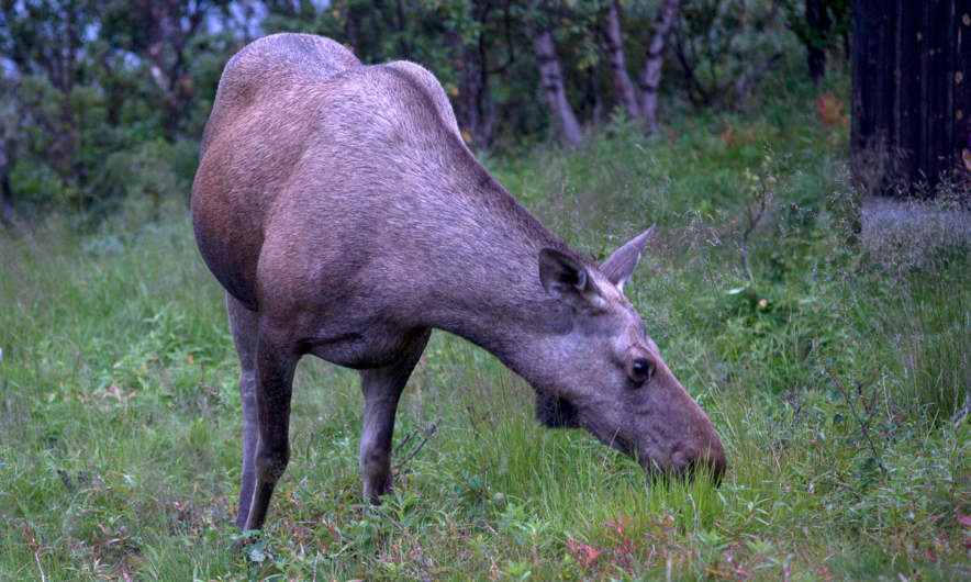
Later – it started getting dark – we got a visitor: A big moose stood beside the river. I went out, where I could observe this huge animal, how it ate leaves and grass, less than 10 meters away. It looked at me but wasn’t disturbed by me at all, it even passed quite near until it vanished between some trees. This was one of the moments were I was glad and touched as a “normal person”, but a bit grumpy with myself, that I was too lazy to carry my big tele lens for better and sharper pictures. I never experienced a moose so near and so fearless.

Vistas – Alesjaure

The trip the day before was short: only 9 kilometres, this day it would be twice as much: 18 km. The first kilometres were a bit boring since they went through birch forests and quite muddy passages. But after a while the landscape opened and we could see the mountain Siehtagas with its glacier Siehtagasglaciären. In front of the mountain there were alpine meadows and small birch forests. In front of that the turquoise water of the Visttasjohka glimmered in the sunlight.

We went up again until we again were over the treeline. This part of the valley Visttasvaggi is beautiful and very varying. The first rest we made in the lee side of a huge cuboid rock. We weren’t the first – someone built a bench by laying a plank over two stones. The second rest we made at the Tjatjajaurekåtan (there’s not much left of it).

After a while I saw some reindeers grassing. There were shy and quickly went away when I came nearer. We saw (probably) them again when we had a view at the sami village Alisjávri that lies at the lake with the the same name. From that it’s not far to the mountain huts of Alesjaure – the Swedish version of Alisjávri. The Alesjaurestugorna are the biggest mountain huts of the STF – the Swedish tourist association. I prefer the smaller ones as e.g. Nallo, but it’s fine to have a shop, a drying room and especially a sauna. And we used it all! It’s nice to go to sleep after being in the sauna and having a wash in the river Aliseatnu.

Alesjaure – Abiskojaure

I didn’t make many pictures of this part of our tour. I was a bit bored of this part of the trail and found nothing special in the landscape. Just some photos of human evidence: Tent poles for a lavvu and a crossing over a long reindeer fence.

It was the first time, that I was really impatient and just wanted to arrive. Some kilometres before Abiskojaure we came below the treeline. Most of the birch trees still were green but you could see, that autumn is near. No wonder, it was the 1st of September, beginning of autumn for the meteorologists.

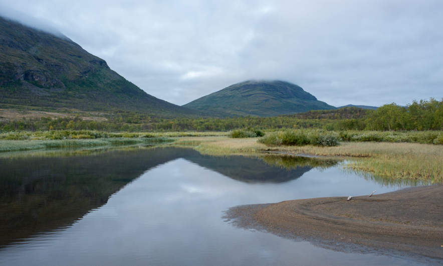
Finally we reached another chain bridge and shortly after it arrived in Abiskojaure. The sun came out and even though it was much colder than one week ago we could sit and lie on the short-cut lawn in front of the hut. I took the last bath of the journey and strolled around making some photos. After crossing a small swamp I came to a quite huge sandy beach beside the lake Ábeskojávri. A beautiful place!

The evening it started to become chilly, hardly 3 °C. I was curious if we would get the first frost of the season next morning …

Abiskojaure – Abisko Östra

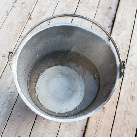
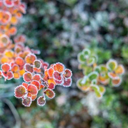
… and yes, we got frost. -2.5 °C showed the scientific thermometer of the swedish weather service, when I had my first look. On the water surface of the buckets lay a layer of ice and round the leaves of lower plants I could see the first autumnal hoarfrost.

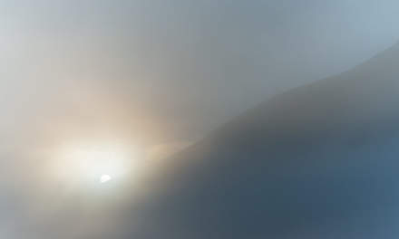
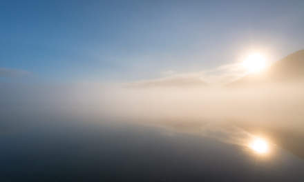
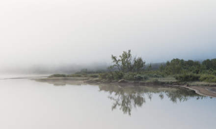
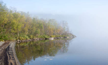
I was up very early that morning and I went to the beach at the lake again. First it looked quite normal but then it started to get foggy and misty while the sun rose behind the mountain Giron. What a beautiful sight! I stood there for at least an hour and only walked back to get another full battery for my camera. Later I met Annika, showed her the place and was glad that I could share this awesome experience.

I was a bit sad – this would be the last day of hiking through the wonderful mountain landscape of Swedish Lapland. But each journey has some kind of end and so had ours. We started our tour through the birth forests along the lake Ábeskojávri, than along the river Abiskojåkka.

After a while a famous landmark came into sight: Lapporten – “The Lapponian Gate”, a U-shaped valley framed of two mountains that give this valley its specific and recognizable shape. However, since this photo is taken from the backside, it hardly shows this special shape.

Since Alesjaure we followed the Kungsleden – the King’s Trail, but right after the bridge over the stream Nissonjohka we left the main trail that leads to the Abisko Mountain Station and turned right to Abisko Östra, the village, were we planned to stay for two other days. The way, however, was not much fun to go. A lot of all-terrain vehicles has turned the way into mud. Since I lost my lens cap and I was afraid that mud would splatter my lens, I packed the camera into its waterproof bag long before the worst mud patches. And that’s why this is the last photo of our hiking tour:

Thank you Annika, för trevligt sällskap – for nice company. Where should we hike next?

Any suggestions?

From Singi to Sälka and Nallo

This article is part of the series “2015-08: Kungsleden hike”.

August 26 – 29: Day four to seven of the summer hike through the mountains of Swedish Lapland

Singi – Sälka

After three very warm and sunny days clouds came in over night and the sky was quite overcast that morning. Only at the northern sky a larger patch of blue was visible. That fits, we’re going north! The first two kilometres were very well known to us, we went them there and back the day before. The day’s walk was short – just 12 kilometres.

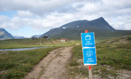
Soon the huts of Sälka came into view. It was funny to see the ads for the shop and the bastu – the sauna – amidst the extend mountain landscape. Only 300 meters left and we entered the reception to check in.

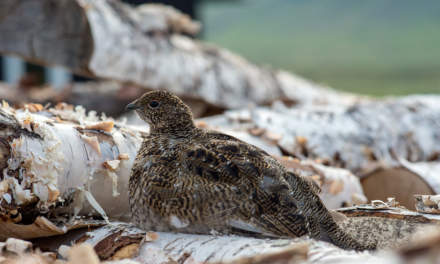
It’s a nice look from Sälka but we had another interest that afternoon: Overall on the ground the ptarmigans were running and there were even sitting on the huge pile of birch wood, so that me, the photographer and them, the models, were on eye level. They let me advance quite near – in fact so near that the tele lens couldn’t focus anymore. The first two images are younger ptarmigans, the last is a grown up – look at these fantastic white feathered feet.

Sälka – Nallo

The next morning there were so many ptarmigans around that you really had to watch yourself not stepping on one of them. I never saw so many and never saw them so near. Our plan was not to continue the King’s Trail but to go northeast to Nallo, a smaller cabin a bit higher up in the mountains. After the common breakfast (muesli with some milkish liquid made from dry milk – yuck!) we started our tour. Even shorter than yesterday: only 9 km but perhaps a bit more demanding since there’re streams to ford, while the whole King’s trail is equipped with Bridges.

We had to look for planks to cross the small rivers behind the cabins but soon we were on our trail.

One hour later we were on the moon …

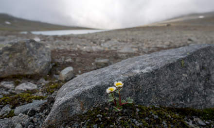
… well, not exactly, but it was such a sharp contrast to the sweet and lovely landscape of the last days. We could hardly see any vegetation. Only moss, grass and some scattered flowers were left. And some reindeers on some of the tabular slopes. There were many small streams and brooks to cross and it was the first day where I was glad, that I walked in rubber boots.

After a while the lake Reaiddájávri that lies on 1056 meter came into view and we went along it. More and more clouds came towards us and swirled around as if they wanted to surround us.

We had to cross the stream that enters the lake at the northern shore. Annika had to switch to sandals and ford the stream, for the water was to high for her hiking boots. It started to drizzle, than to rain and it got windy. Navigation was less easy now since it started to get foggy, there were less marks and some streams and snow patches to cross. Mostly I navigated with the compass, but twice I took the GPS to ensure my navigation. Since wind and rain increased more and more and I was busy with the navigation I packed the camera into the waterproof bag and didn’t make any photo on the last two kilometres. In the end the small Nallostuga came into view and even the huge mountain Nállu in the back lingered through the floating clouds. We got a warm welcome of the stugvärd – the warden of the Nallostuga. And warm was the wood fired oven, too. A good opportunity to dry our wet clothes.

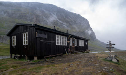
I only went out later that day to take a photo of the wooden signpost and the hut itself. The rest of the day was just gemütlich – the pouring rain outside and we ourselves warm and cozy inside.

Two days of at Nallo

One

We planned to stay a day in Nallo already two days ago. It looked like a good idea since the rain just poured down the whole day and it was very windy. All people out there looked very wet, whether they just crossed the stream – now twice as large and probably twice as deep – or if they just fetched a bucket full of water.

Time to make some photos within the house. Two typical views in Swedish mountain huts: Many of them have two rooms, each has a kitchen and two flanking bedrooms, only separated by a curtain. That make 20 beds in total. Plus one for the stugvärd who has his own little room. The Primus 2388 is a gas cooker, easy to handle and is found in almost each Swedish mountain hut.

Two solo hikers planned to continue their tour that day but after a while they decided to stay. Perhaps not the worst idea when you looked at the young hikers, that came in. They were completely soaked. They poured the water out of their hiking shoes and hang up the dripping-wet sleeping bags for drying. All was just soaking wet! We we’re quite glad to be inside. But finally I took my camera and went out for some photos. Brr, it was really cold (7 °C) and so windy that the spray of the brooks was blown upwards again. Some photos:

I was glad, when I came into the inside of our cozy hut again. Only Simba, the warden’s dog endured the weather stoically.

Later that day: The sleeping bag already has dried, but other clothes were still hanging on the clothes line.

Two

Next day we wanted to continue our trip but I changed plans. Unintentionally. I got ill. I got fever that night and problems with my stomach and intestines, that I definitely don’t want to describe in detail. Otherwise there’s nothing much to report. I didn’t make a single photo (a certain proof that I was really ill) and slept almost the whole day.

Later in the evening, when I felt a bit better I was able to communicate again. I heard about others that went Singi–Sälka, the very same way we went three days before. The trail has been so flooded that the water poured over the wooden planks of the minor bridges making them very slippery and it was so windy that the hikers were really frightened to be blown from the bridge right into one of the swollen rivers. Illness never fits, bit I guess I chose a quite good day for being sick.

I slept the night before, I slept almost the whole day and I slept the next night. That sums up to round about 30 hours of sleep without any larger interruption. That probably was the best medicine and the next day I felt sound and healthy again. The plan for the coming day: Hiking to Vistas.

From Kebnekaise Fjällstation to Singi

This article is part of the series “2015-08: Kungsleden hike”.

August 24 and 25: Day two and three of the summer hike through the mountains of Swedish Lapland

Kebnekaise Fjällstation – Singi

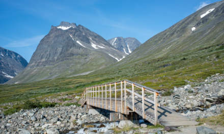
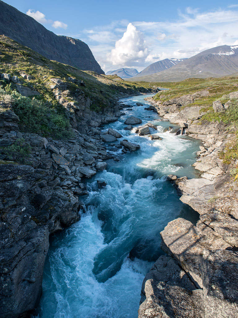
After the crowded Kebnekaise Fjällstation I really longed to continue our hike. Soon after breakfast (with real German bread!) we left and continued westwards. Soon a first wooden bridge over a small creek came into view followed by a larger bridge over the ravine that the stream Láddjujohka has cut into the rock. In the back: The mighty mountain Siŋŋičohkka.

It was as warm as the day before and the sky was incredibly blue. We continued westwards and went round the steep southern slope of the Siŋŋičohkka. Parts of the narrow valley lay in the shadow of the mountains Skárttoaivi and Liddubákti, but soon we came to a sunny place covered with soft heather beside of a small creek – the ideal resting place. It was hard to prevent dozing off and to pull ourselves together to continue after a long while of resting and being lazy.

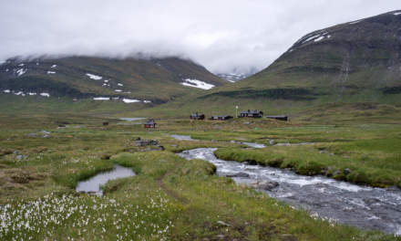
This daily stage was quite relaxed: only 14 kilometres. Soon the Singistugorna – The Singi cabins – came into view.

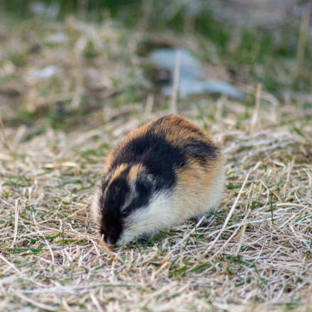
We hardly saw any animals yet but round the cabins we saw two quite typical species commonly found in Lapland: The lämmel or lemming and the ripa or ptarmigan (sometimes called snow chicken). They came quite near but gave me a hard time photoing them. I only had a small 100mm-lens with manual focus instead of my great but huge and heavy 70-200mm-lens, so I’m not really content with the results. However, the experience to have these animals so near was more important.

(Later on the journey I got a much better opportunity to take pictures of ptarmigans …)

Singi – Hukejaure – Singi

This day was planned to be a long one! Instead of following the Kungsleden – the King’s trail we planned to go to Hukejaure in the west and then to cross the Swedish-Norwegian border. From Singi to Hukejaure it’s 20 km and it’s just a path, only partly marked.

We started quite early, went north along the stream Tjäktjajåkka and crossed it after two kilometres on another chain bridge.

We had to “climb” over some rocky parts until we came to a beautiful alpine pasture. Do you know the film The Sound of Music? It almost looked alike – without the dancing and singing. Instead of that we got some snow fields and some shallow bogs and ponds. Beautiful anyway:

After a while the path was gone and we had to go up some hundred meters. It was as warm as the other days plus we were on a treeless southern slope – a matter that makes one sweat. We made a rest after 7 or 8 kilometres. It was later than expected and we just made the easy part of our way today. Will we come to Hukejaure in time? Or will it get dark? Is it safe and reasonable to continue? We both didn’t like the decision but since we weren’t sure to reach Hukejaure in time we decided to go back. Next time we have either to start even earlier or take a tent with us. We’ll see …

After 5 kilometres we came to the Tjäktjajåkka again but the light was completely different.

The last two kilometres felt a bit boring and we were glad when we arrived at the Singistugorna that we left the same morning. Other people walk there dogs, we walked our backpacks. After a two-course dinner (noodle soup and tortellini) I went around in the dusk and took pictures of the landscape reflecting in the oxbow lakes of the Tjäktjajåkka.

I was glad that I had my mosquito jacket with me, they were many of them seeking my blood that evening. And when I came back I was glad that all windows are equipped with fly screens to keep out those little bloodsucking vampires.

On the one hand it was a disappointment that we had to change plans, on the other side the tour itself through this side valley was awesome. We probably would never have thought about it without our Hukejaure-plans. Next stop tomorrow: Sälka, only 12 kilometres.