This article is part of the series
“2016-02: Ski tour on the Kungsleden”.
From the Tjäktjastuagn to Alesjaurestugorna
27 February · 13 km · Link to map
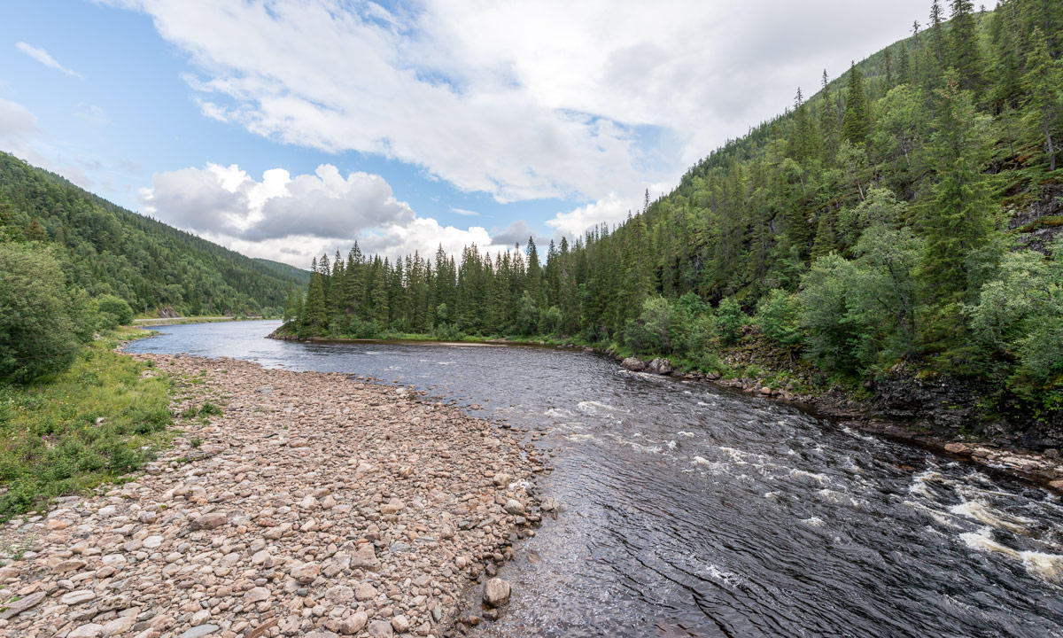
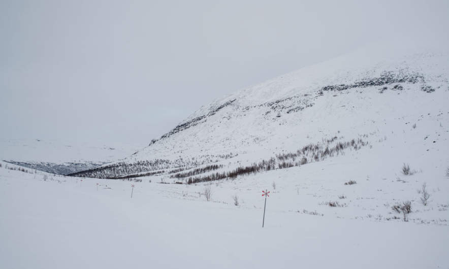
This day I continued to the Alesjaurestugorna, the last mountain hut in the kalfjäll – the treeless mountain landscape in Lapland. Perhaps that’s why I was a bit sad, because I love the bare mountains and I felt that I had to say farewell to this outstanding landscape soon. I said farewell to quietness a bit, too, since I knew, that Alesjaure would be quite crowded:
But first of all I had a nice trip of thirteen kilometres to go. Weather was good and the way was short and easy, even if there were some patches with hardly any snow that I had to bypass. So I arrived in Alesjaure already at a quarter past one, being the first guest.
Other guests came, from Austria, from Germany, from France and from Denmark – many interesting people. And in between five scooters arrived – all with a trailer loaded with figures dressed in huge black down parkas and ski goggles – the Englishwomen. Their plan was to go back to Abisko on skis in two days with some detours to make it a full marathon distance.
The rest of the day was relaxed and easy-going. First I sat the sauna, then I made dinner (an outdoor meal called “Rice with basil” – quite boring). After that I sat together with all those kind and interesting people. At half past nine one of the Danes started to make pancakes – and I was invited! The Danes told me, that each of them has a surprise for the others on their tour and the pancakes were the first surprise. What a great idea (especially, since I benefitted from this surprise). I went to bed at half past ten – much later than the last days.
From Alesjaure to Abiskojaure
28 February · 20 km · Link to map
The next day I wanted to continue to Abiskojaure, that’s the longest part of my journey. The last tour days had quite short distances between 12 and 14 km and I was rather slow. As a photographer I have a good excuse: It’s making photos, that takes time, not my slow speed! Anyway, today I planned to start very early and decided to go a bit faster to avoid arriving in darkness. But first I had to get water, there was hardly any left.
If you tent in the winter, you’ll have to melt snow in most cases – this takes a lot of time and doesn’t taste well. The mountain huts on Kungsleden have ice holes to get fresh water, either in lakes or rivers. The ice hole of Alesjaure lies exactly below the summer bridge. It is covered with a wooden look to reduce freezing over, but I had to break the fresh ice anyway. It’s almost impossible to fill a 25 litre container with water (lowering the bucket into the small hole – pull it up again – pour water through the funnel – de-ice the funnel – pour water through it again) without getting wet hands. Oh, what I longed for waterproof gloves. My fleece gloves were completely soaked and my fingers got so cold that they itched when I “defrosted” them above the gas oven.

That’s why I started a bit later than planned and at the same time as the marathon skiers. They followed the official winter way, I took the short cut over the frozen lake Alisjávri. Although I took pictures I was faster than the skiers – some of them probably stood on skis the first time – and when I left the lake to join the winter way they already lagged behind.
I tried to go a bit faster, but stopped for some photos:
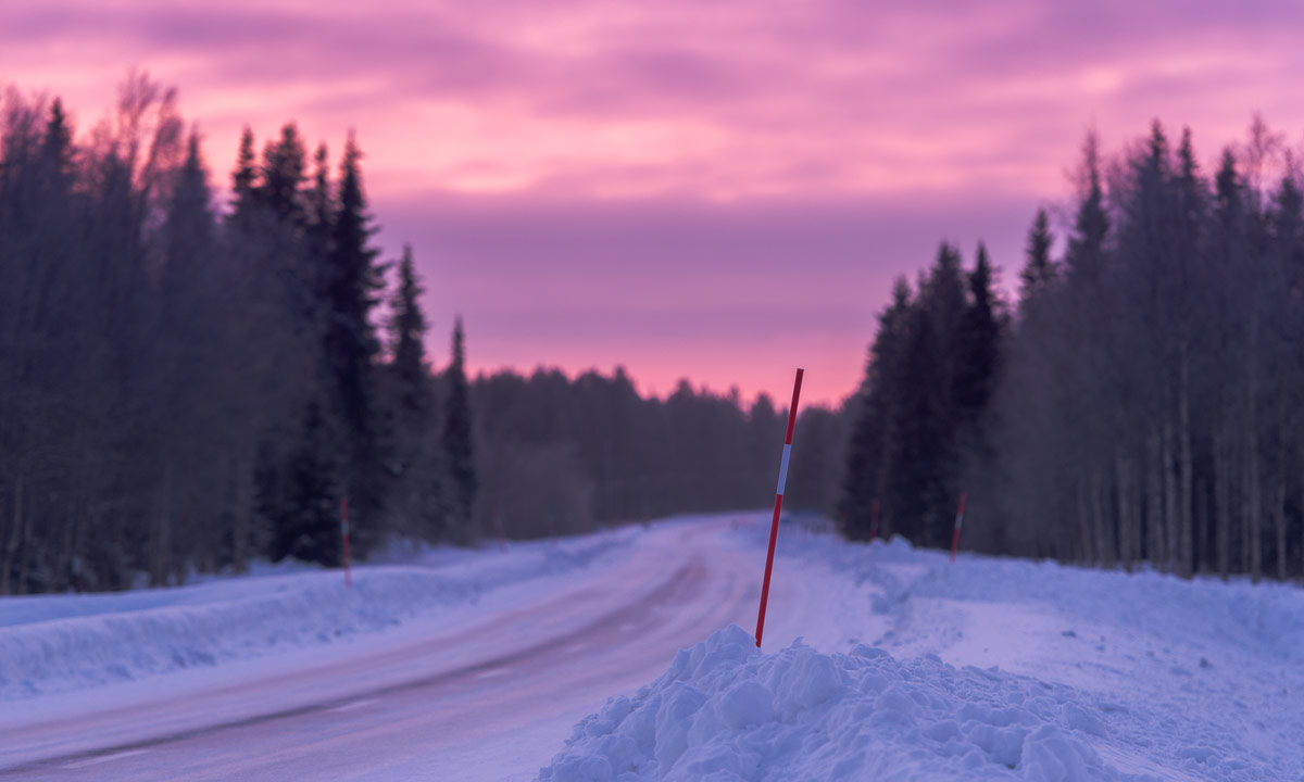
After I went more than half the way I took a break. It’s quite warm: -5 °C and even the cloud-covered sun warms a bit. For me it was a bit like saying good-bye. Good-bye to the treeless kalfjäll. Soon I will enter the narrow valley Gárddenvággi where terrain declines. And soon after I finished my break and continued the tour I saw the first small birch woods. The sun has disappeared behind a cloud layer and the landscape got monochrome. Dark birches, white snow, only interrupted by some red waymarks.
The last descend to the woodlands is quite steep. I decided to unmount my skis and go on foot. Even so the pulka tried to push me down towards the valley and I had to lean back to avoid being knocked over. After some minutes I was almost level with the Abiskojaurestugorna and went the rest of the tour through denser birch forests on skis again. I have to admit that I found this part a bit boring – we have snow and trees in Skelleftehamn, too, but soon I arrived at the mountain huts, where I spent the rest of the day.
In the evening I met C. who wanted to go to Abisko the next day and we planned to do this last part together.
From Abiskojaure to Abisko Östra and home
29 February · 15 km · Link to map
Let’s make it short: This day was travel day. C. and I woke up at 6 o’clock. Not by our own will but because we had the loudest snorer ever in our room. Jet engine level! We took a short breakfast, packed our pulkas and started our tour. Not to Abisko Turiststation, the classical start and end of the Kungsleden, but to Abisko Östra, the station of the village Abisko. I went on skis, C. just with normal boots, since the snow on the snow mobile tracks was packed and easy to walk on. C. was much faster than I use to be, but we headed for the 12-o’clock-train and I was keen to get it, too. We took two breaks: One for elevenses (or some kind of pre-lunch), one for the reindeer posing in front of the kåta.
We mad it, we even had an hour time until the train arrived. 14 km in 3 hours, 8 minutes (including the two breaks) – that was the fastest part of my tour. Thank you, C. for helping me leaving my comfort zone a bit.
The rest of the tour: Train from Abisko Östra to Luleå. Bus from Luleå to Skellefteå. Bus from Skellefteå to Skelleftehamn. I was home at 21:30 – 13½ hours after starting on skis in Abiskojaure.
Now it’s midnight. I’m sitting in the living room of my house in Skelleftehamn. I really like this place, but I’m already longing to the Swedish Mountains again. Perhaps another ski tour later in April?
Well, we’ll see …