21 August: Kungsleden day 2 – Teusajaure—Kaitumjaure (9 km)
This article is part of the series “2017-08: Kungsleden hike”.
One of the less adorable things when you’re hiking from hut to hut is going to the toilet. You have to go to the utedass, the outdoor earth toilet, which is always a bit away. You need to slip in your boots or sandals, put on a jacket to stay warm and dry and in the night you even need a flashlight to find the right way. At least the toilet seats are made of styrofoam which isolates quite well. And there’re always some nice outdoor photos pinned to the wooden walls.

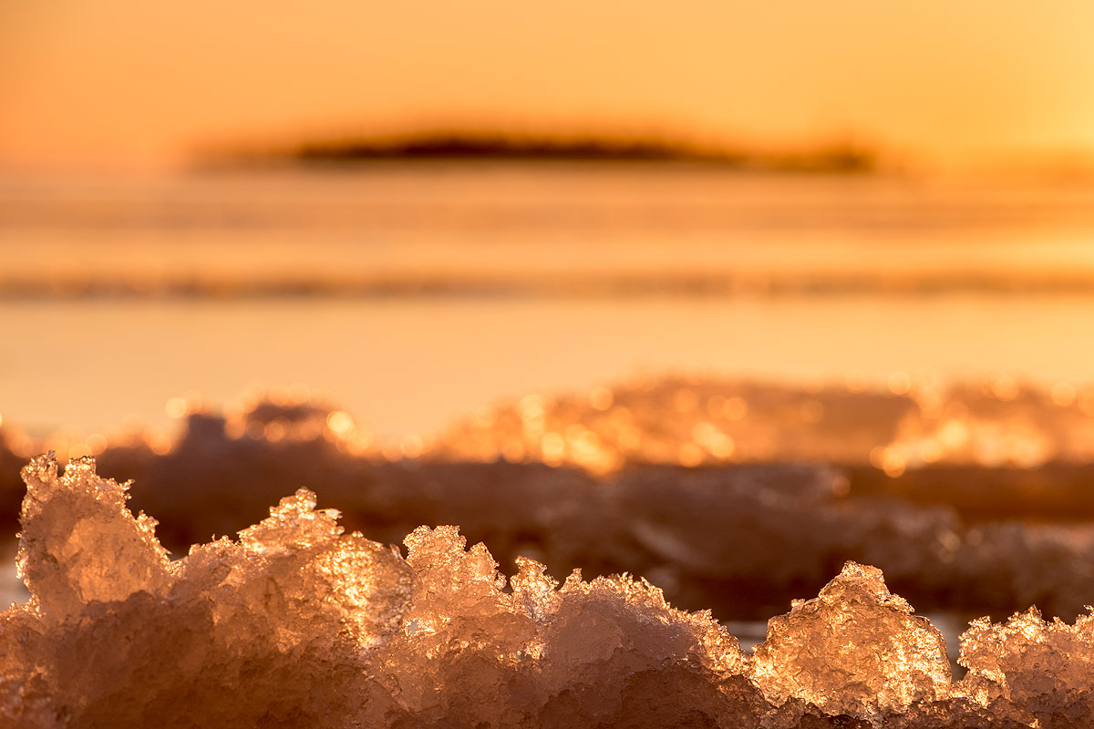
After I already took the camera to my early morning loo visit I stayed outside and took some more photos. It was chilly and cloudy but at least yesterday’s rain had stopped.


After a breakfast (Wasa bread with cheese and muesli with milk made from milk powder) we started our day’s march. It was much easier than the day before since it’s only 9 km to the next hut. We had to climb up round about 250 meters through forest until we reached the kalfjäll above the tree line. And finally the sun managed to find some holes in the clouds and illuminated parts of the alpine landscape.


It didn’t take very long until we crossed the river Kaitumjåkka (sami: Gáidumjohka) using the large chain bridge.


Leaving the river behind us we descended again through green birch forests …


… and arrived at the Kaitumjaure huts at 14:45. I cut up some logs and chipped wood for the sauna but it happened to be so crowded, that Annika and I left it soon. Katrin and Andi didn’t even managed to enter the sauna and the water for cleaning was still cold.

But even without a hot water “shower” day two felt much better than the day before. Now we looked forward to the next day that finally would lead us to the treeless kalfjäll for several days.
Back to the toilets: If you think that using the utedass is quite uncomfortable to use in summer, you won’t like it in winter either. Then you sometimes have to dress like for an arctic expedition just to reach it without hypothermia. Check the second photo in the article Kungsleden ski tour: Singi – from blizzard to clear sky to get an impression.