A mooring, ice stations and the sun
This article is part of the series “2026-10: Fram Strait cruise KPH”.
16 October
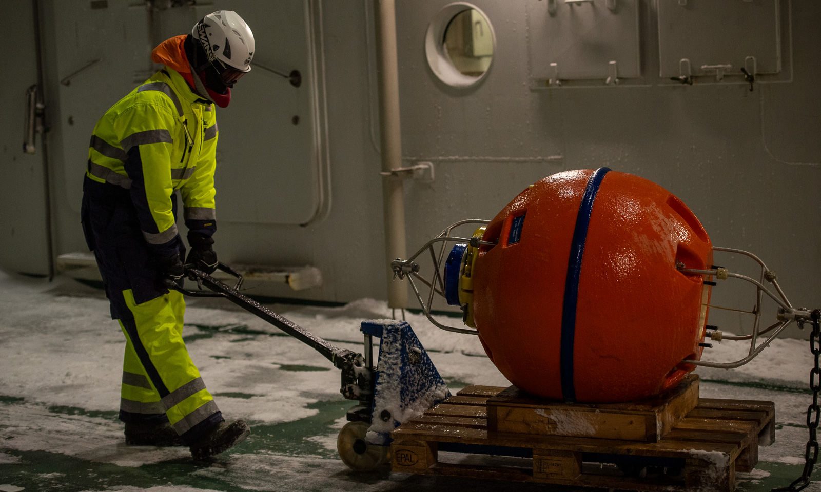
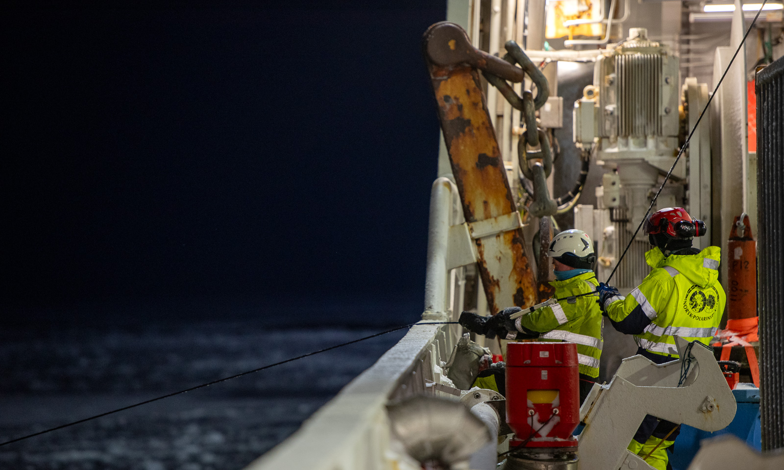
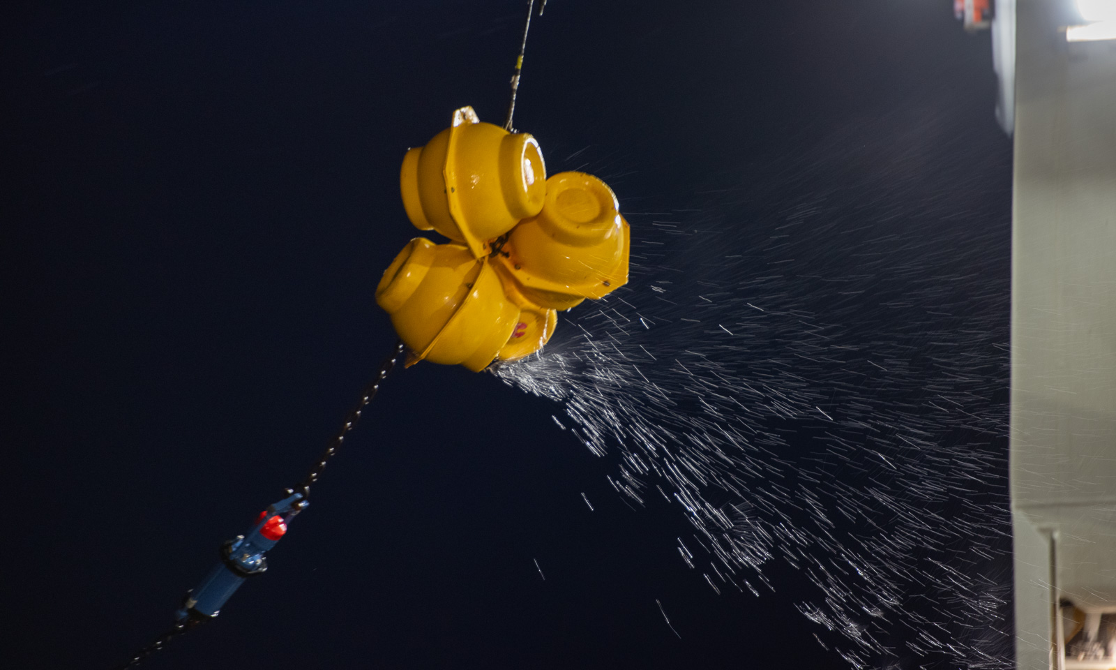
The polar bear is gone. The dinner has been eaten. Now it is time to recover F12, another mooring which is underwater and has measured a variety of values for 14 months. The ship’s echo sounder has already located it, so it has “only” to be released from the ground. There is only one issue – there is a lot of ice and to recover the mooring, open water is needed. The helmsman has already circled the icebreaker several times to create an ice-free area. When the mooring is finally released, the air-filled buoy pops up in the water, just two metres away from the searchlight. Chapeau! I mentioned in the last article the joint effort that is needed to get such a mooring with more than 1800 metres of Kevlar cable equipped with instruments from the sea onto the ship.

17 October
When there is ice, it’s an opportunity for an ice station. Again, this is teamwork. Besides the scientists on the ice, you need a polar bear guard with a rifle on the ice and three bridge watches on the bridge on deck 8 that are constantly observing the surroundings for polar bears, cracks in the ice, fog coming up, and other potential dangers. I handle the communication between the bridge and the team on the ice, and luckily nothing happens. The only thing I have to do is to keep track of the people who are on the ice.
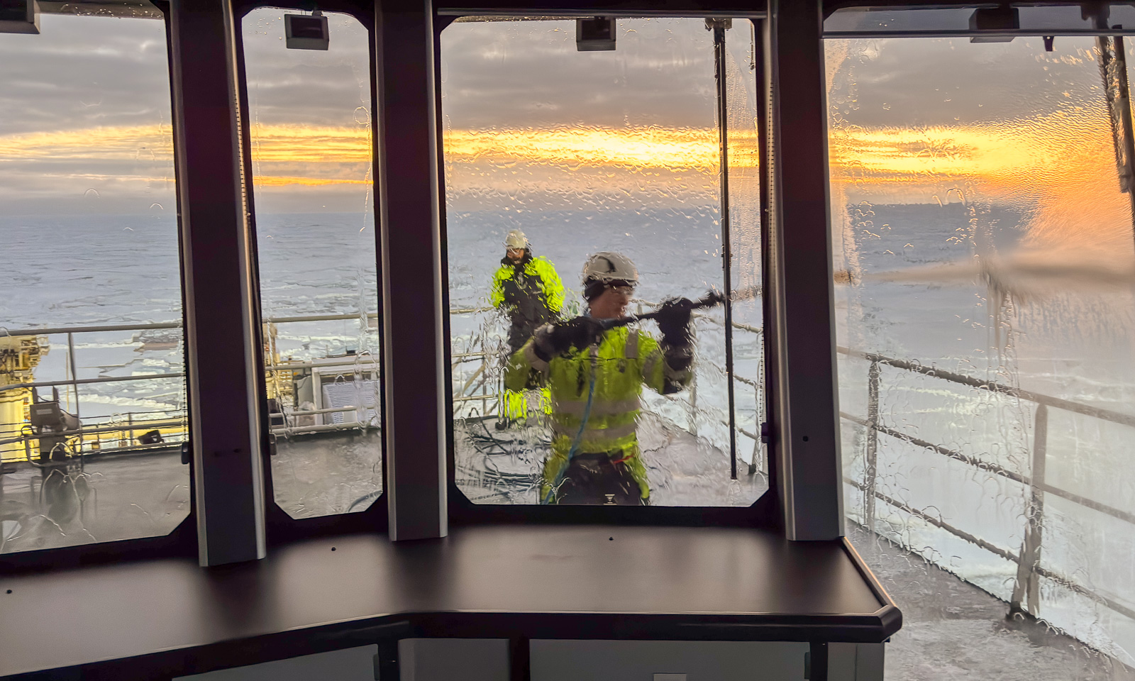
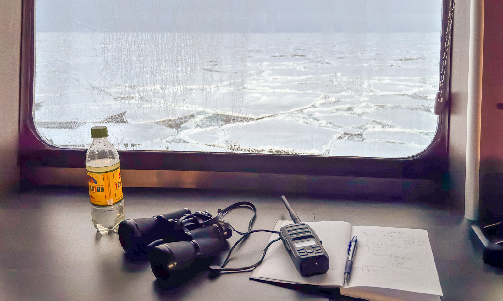
There are my things: A bottle of water, my own binoculars (I have had them for more than 40 years), a VHF radio for communication and a notebook with a ballpen for taking notes.
I haven’t seen the sun for days, but now, while I am taking the second shift, the sun is rising from a low layer of clouds on the horizon. I can see its reflections in the windows on the other side of the bridge while the ice team works in the ship’s shadow.
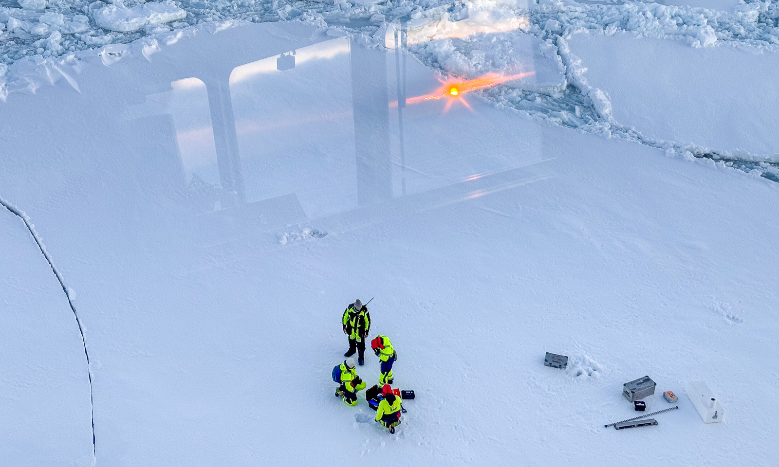
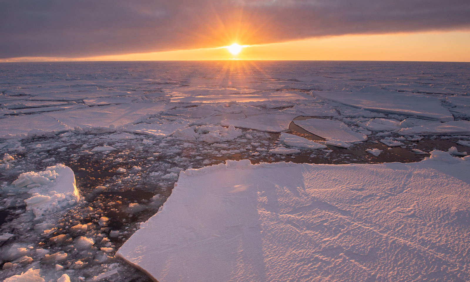
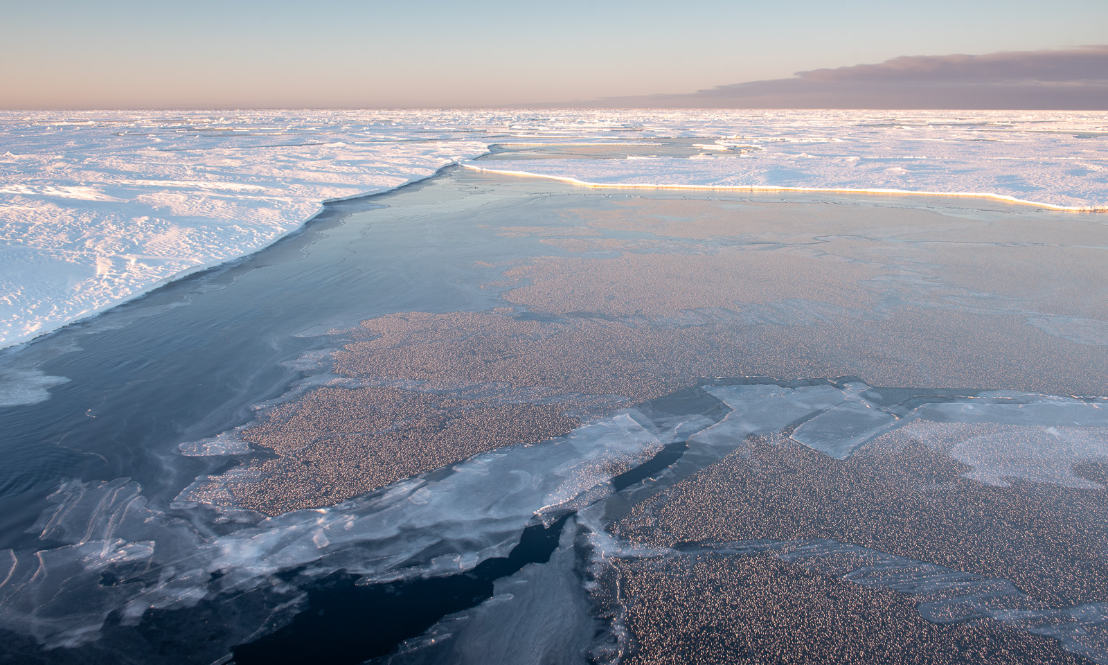
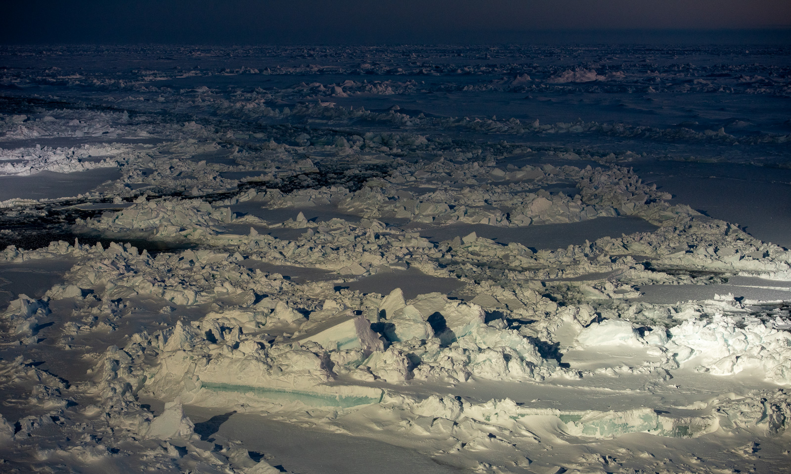
For the rest of the day, I do computer work but interrupt it several times just to go outside and take some photos from the helicopter deck, which is on deck 6 at the bow of the ship. You never know how long the good weather will last. I am there while the sun is shining, I am watching the sllloooowww sunset, and I am there in the evening, when it is the ship that is illuminating the ice.
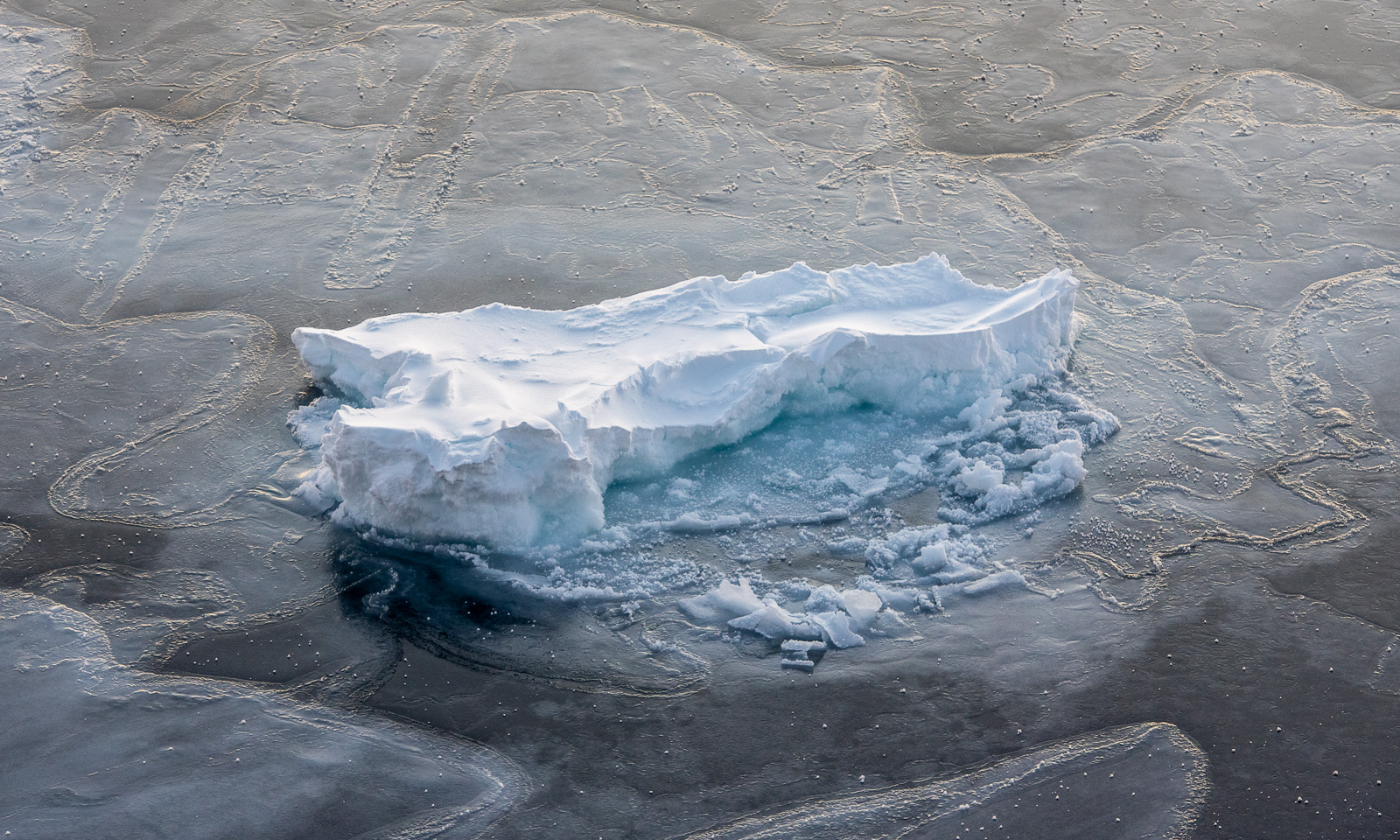
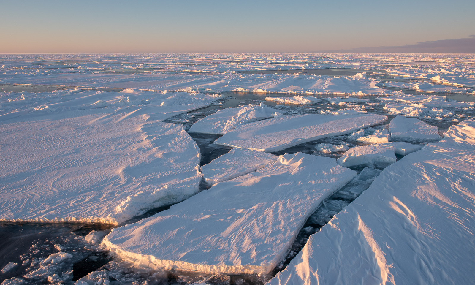
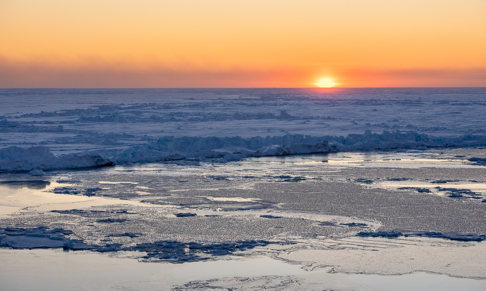
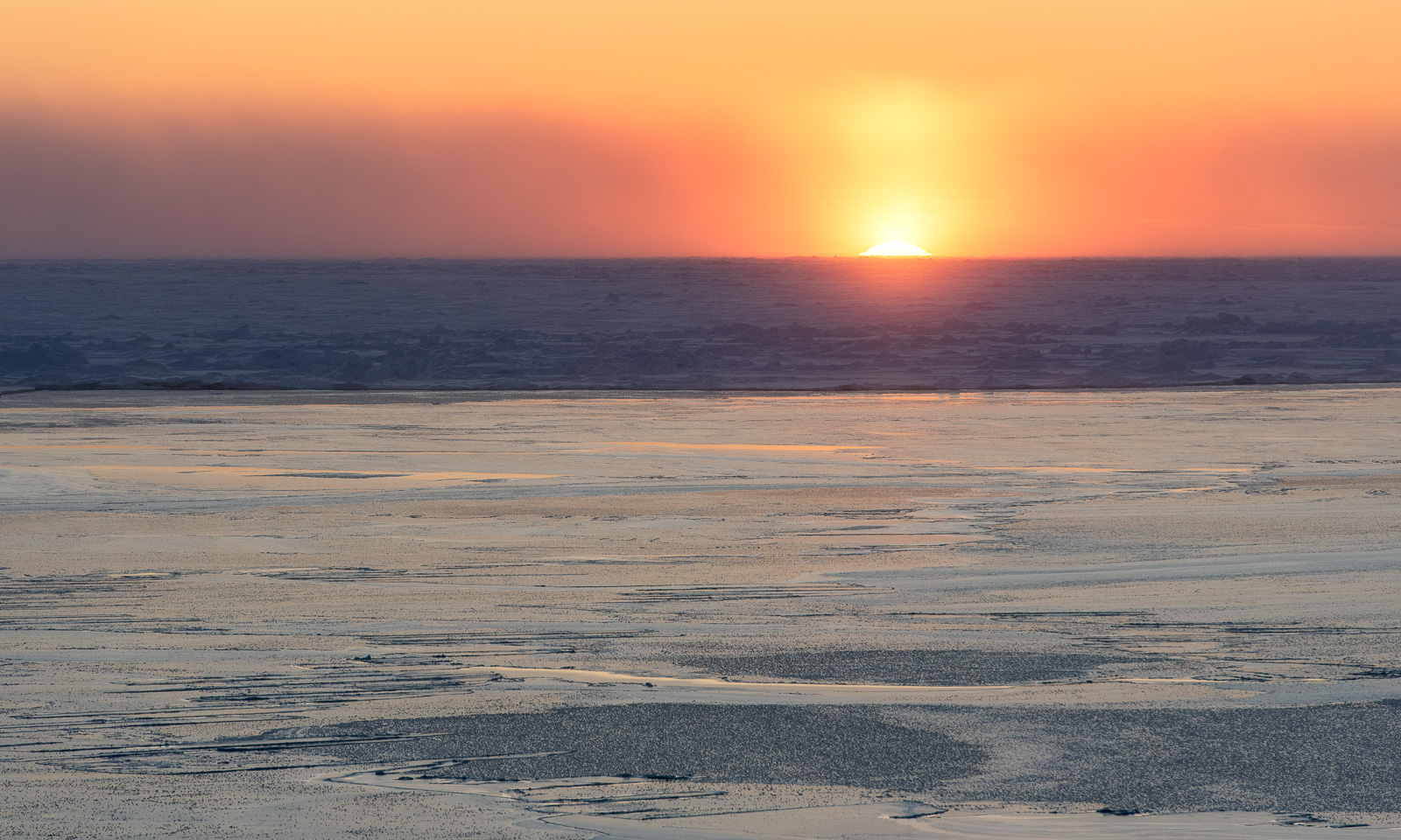
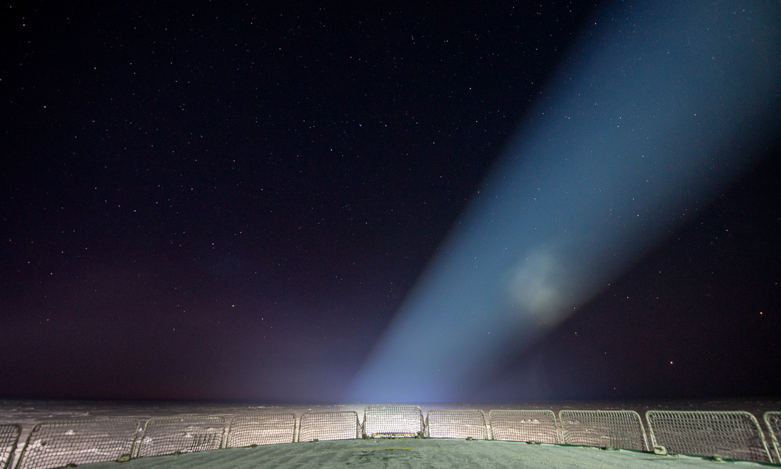
I am already in bed when I see a post in our group chat mentioning Jupiter and Mars. I put my down clothes over my pyjama, put the helmet on my head and go out onto the “helideck” one last time for the day. The night is starry and there they are: Both Jupiter and Mars near the horizon, accompanied by many stars. But there are also big spotlights, which make the view somehow special. The stars are slightly out of focus, but I am showing a photo nevertheless.
18 October
Another day – another ice station. I will do the first bridge watch and then go onto the ice myself to fly a drone. Around 10 o’clock, the team enters the ice.
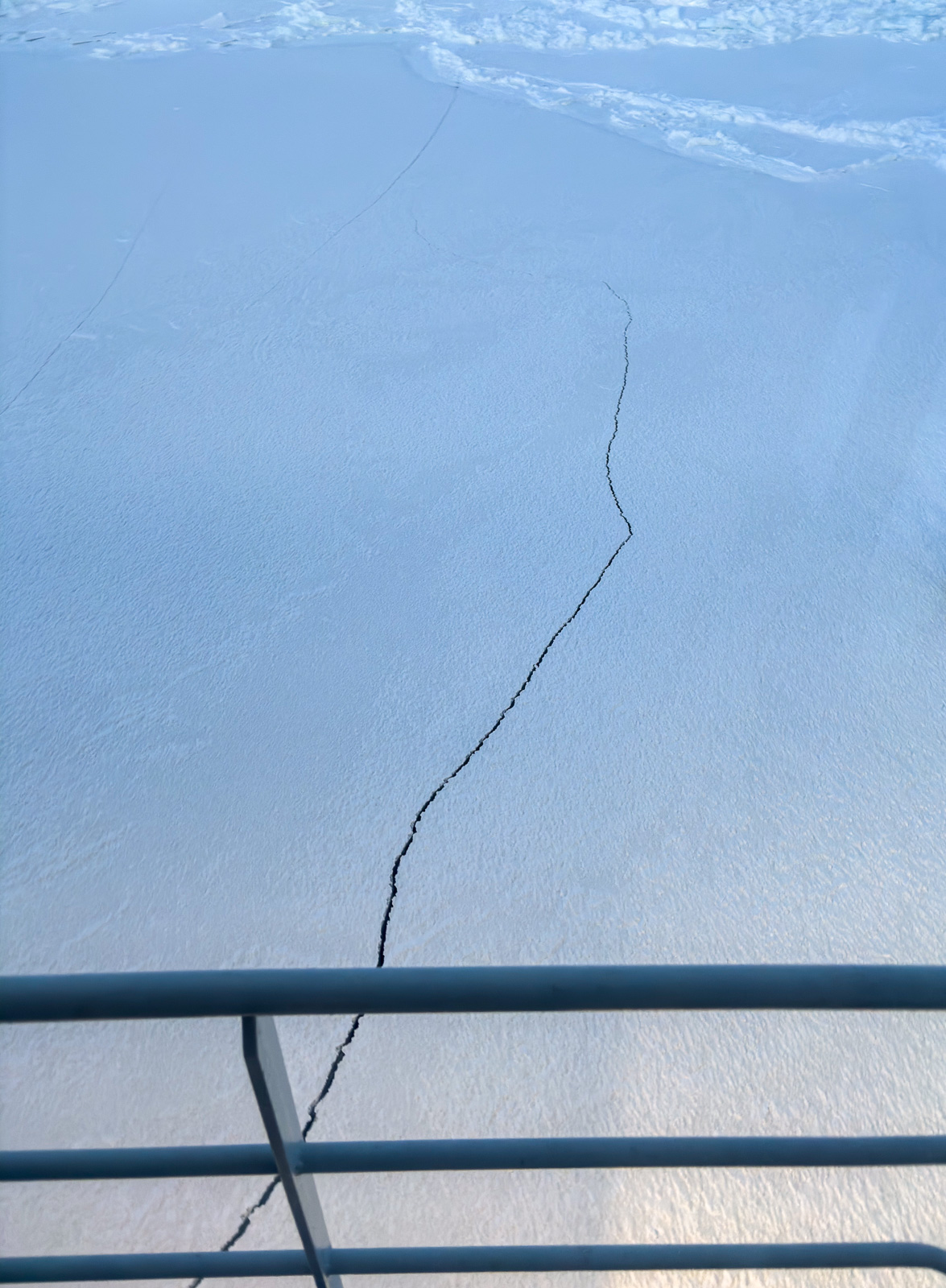
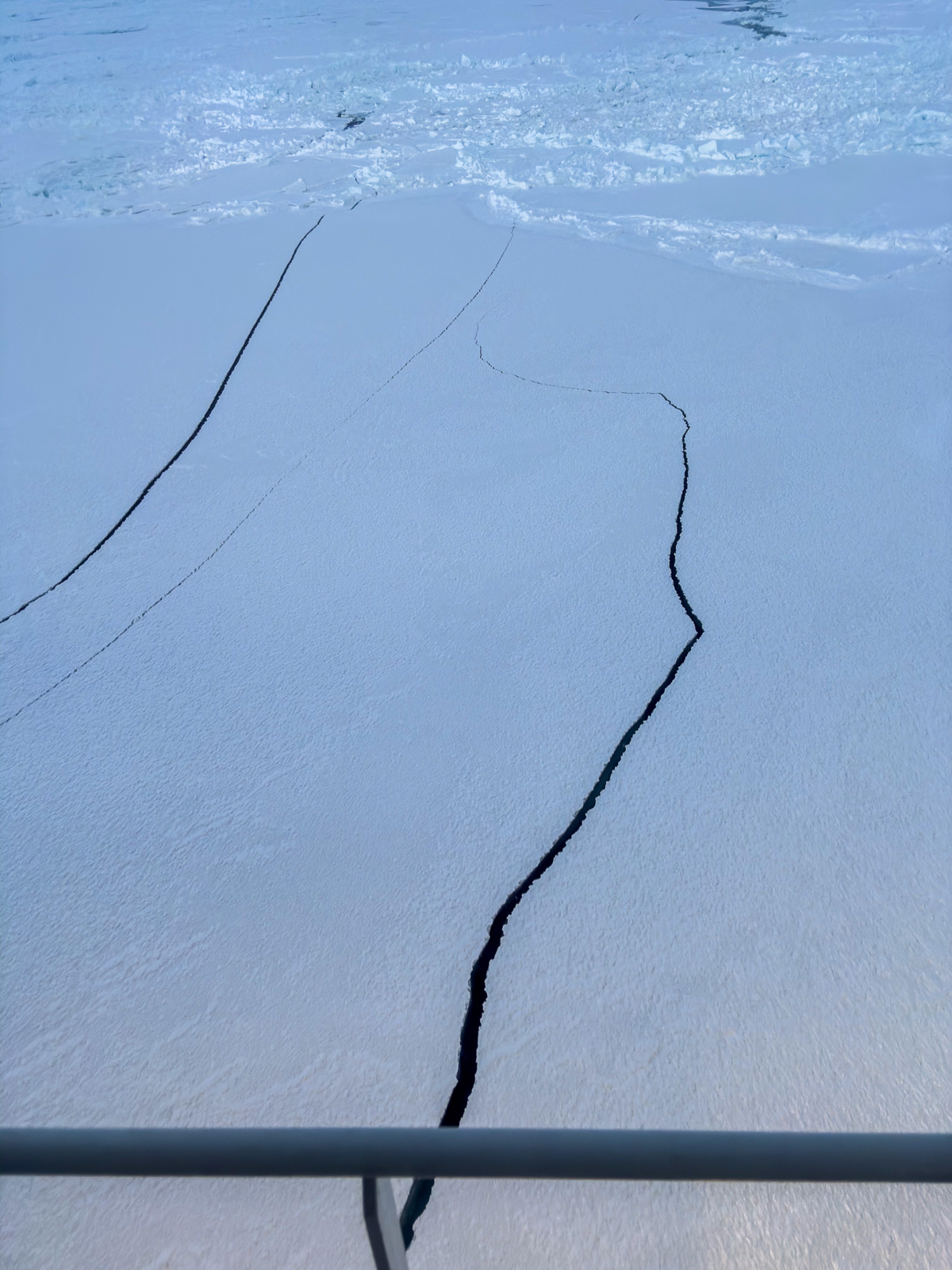
Two things are certain on an expedition with the icebreaker Kronprins Haakon. All meals are on time. Everything else may and will change. This time, it is a crack in the ice that I observe. I inform the team on the ice. I have to give several updates, because more and more cracks appear. After less than half an hour, both the team and their equipment are safely back on board, and the ice station is aborted.
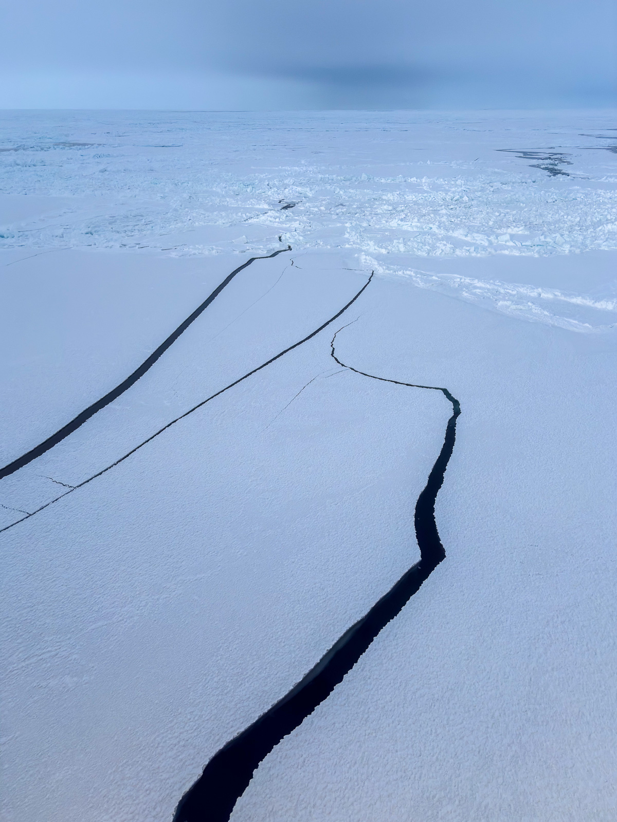
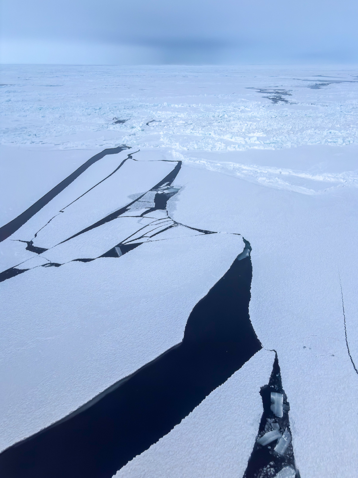
After lunch – the second try. I may join the team in the beginning, because, although the conditions for drone flying are not the best (mediocre visibility, low temperatures, high humidity), the winds will increase in the afternoon. It’s now, or never.
Fifteen minutes later, I am on the sea ice. At first, I let the drone fly at an altitude of only 2-3 metres for two minutes. I land it and check the propellers. Are they free and able to move? Is there visible icing? What about the battery? Luckily, everything looks fine. With a new battery I lift the drone up to 65 metres to fly a zigzag pattern to get a mosaic of photos to be stitched together later. The flying itself works pretty well, although I get some wind warnings on the display of my remote control. I have some minor issues with the camera gimbal and take another flight to get some backup photos. At the very end I take a snapshot of our icebreaker.
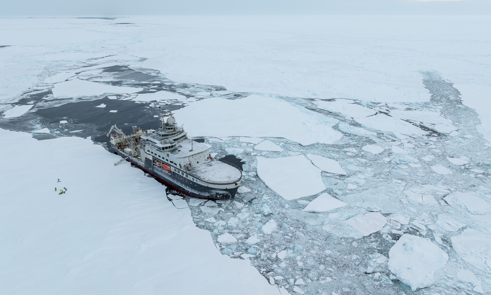
And a selfie or two. I am wearing a survival suit and a helmet from the Norwegian Polar Institute, a woollen sweater I bought in Longyearbyen two years ago and a balaclava knitted by my friend Christine.
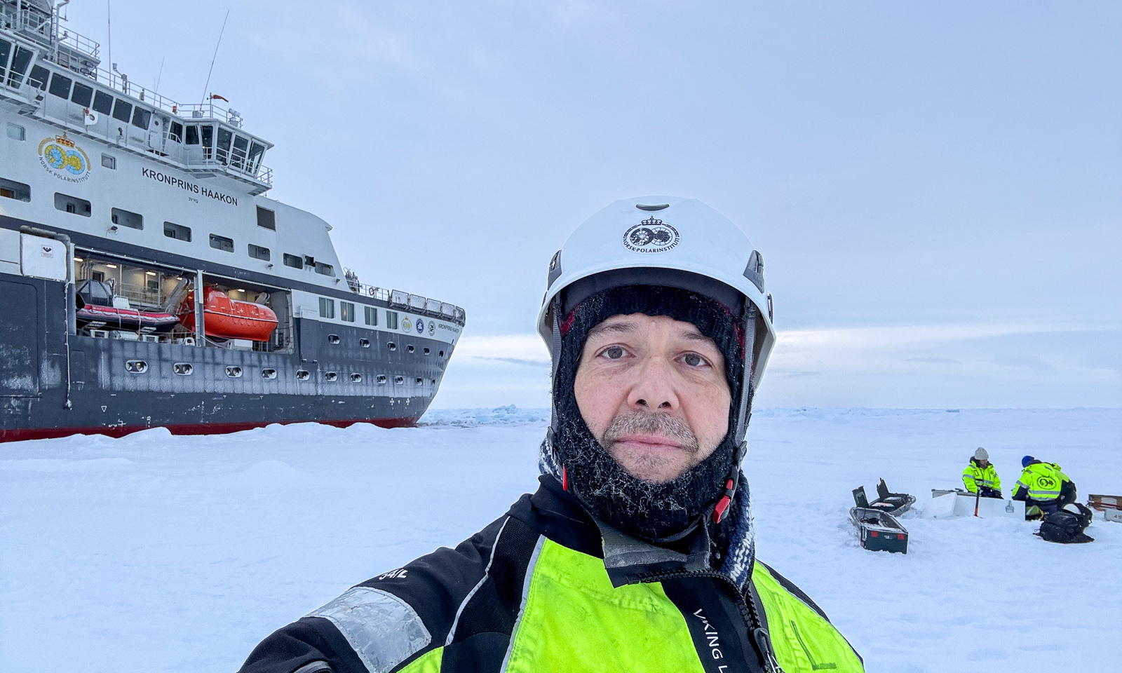
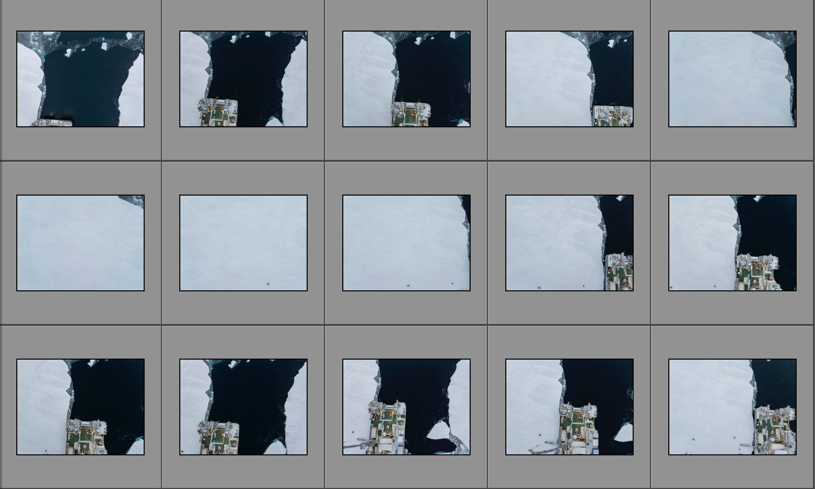
When I have finished, I leave the sea ice. After redressing and a small break I take another bridge watch. Nothing happens, and so it should be. The exciting part comes thereafter. Are the photos – 126 in total – suitable for an orthomosaic? I mean, the single shots look like this:
An then, the relief: WebODM, the software successfully stitches together the photos.
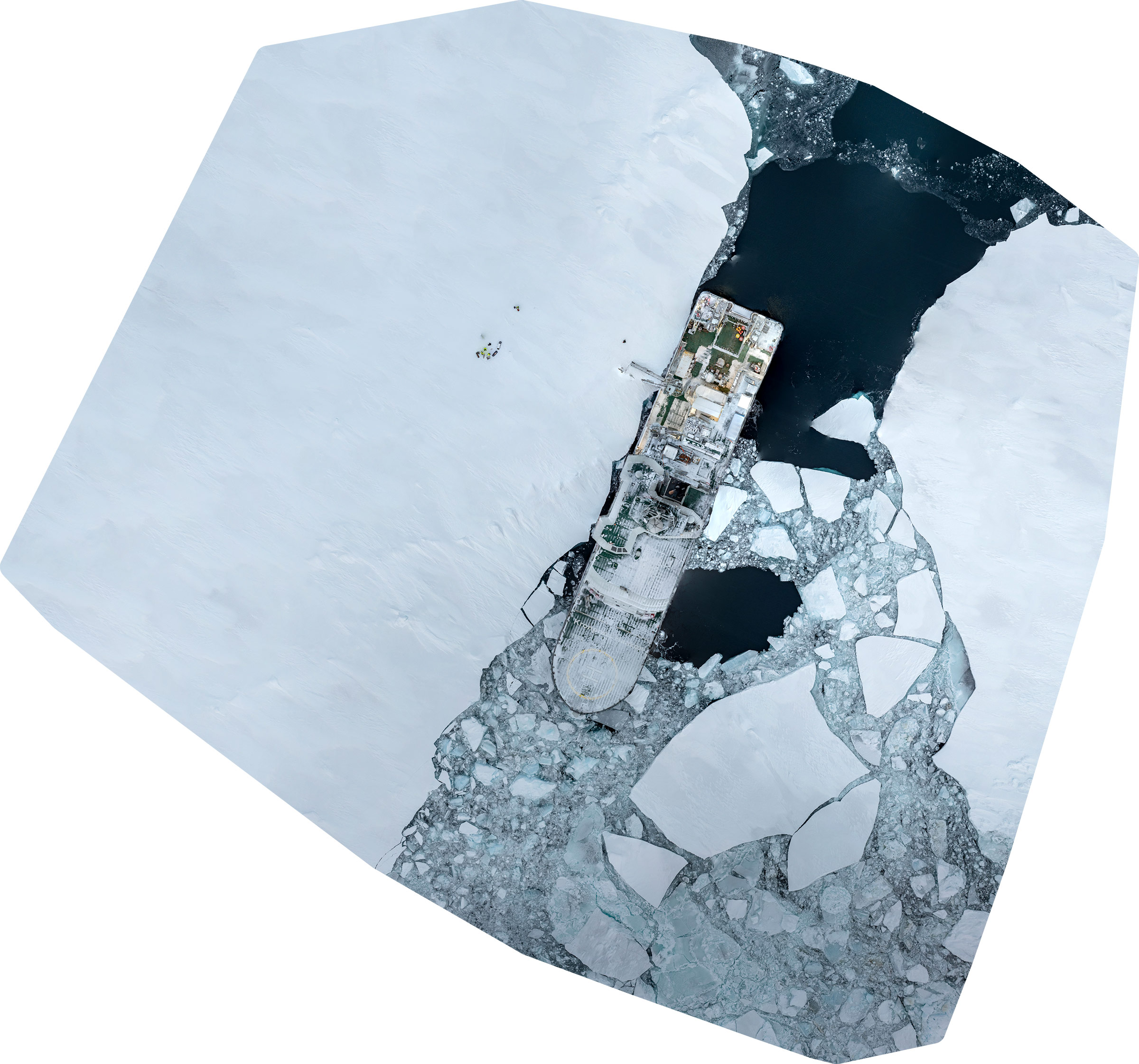
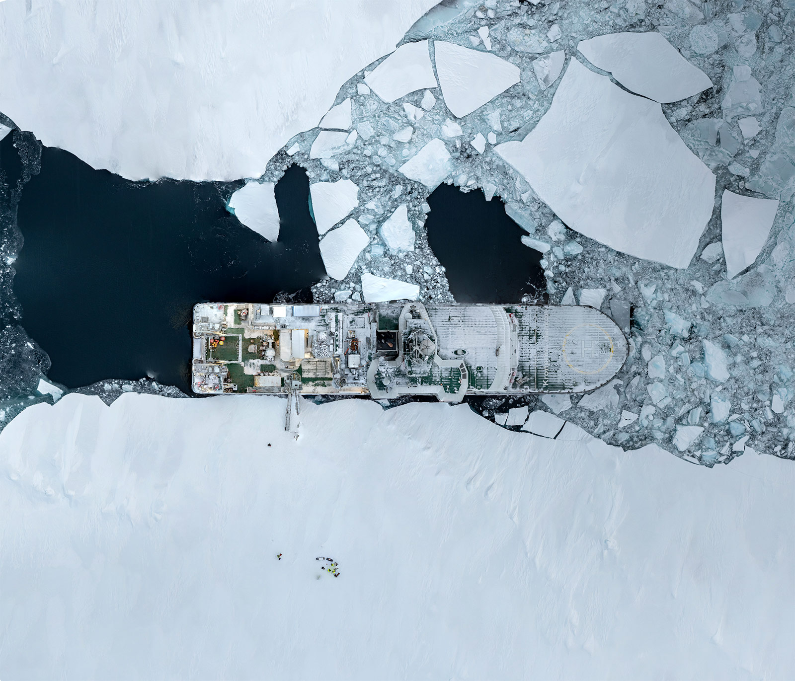
Why does the image has this odd angle? Because it contains spatial data, so that it can be used in GIS systems. It is therefore aligned north. Here is a cropped version aligned parallel to the ship:
Will there be another ice station? I’m pretty sure. Probably not tomorrow, when we expect another strong gale, with wind speeds above 20 m/s. So I don’t know what will happen tomorrow, apart from one thing: all meals will be on time.