A clear winter morning at Långhällan

Today I took time off work. I stood up quite early and at 7:30 I took the car to Långhällan, a place by the coast which I love for photographing. Today I tried out my new Tamron telephoto lens (150 – 600 mm) and I’m very contended. All photos shown here are made with this lens and focal lengths between 400 and 600 mm.

The morning was cold with temperatures round -10 °C and the sky was completely clear beside of a layer of clouds at the southeastern horizon. The locals call this cloud phenomenon “vinterväggen” – the winter wall. Although it was more than one hour before sunrise, the horizon was already of a bright orange colour. The first photo.

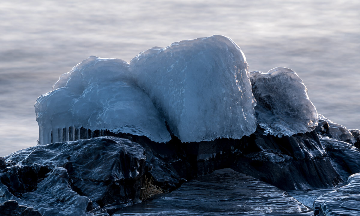
As usual the other side of the celestial sphere was of a pale purple colour. The ice and rocks however were still of cold blueish colours. I could have waded to the rock with its shining ice cap, but I wanted to test my new lens. Photo number two.

Långhällan’s shore is partly solid rock, partly round stones of different sizes. Each of the stones, that are partly below and partly above water has such an ice cap as on photo number two. Photo number three – just for the impression.

On one of the rocky salients there’s a small but deep puddle of water which was covered with ice too thin to bear me. I could have tried to walk on it (I wore waterproof chest waders) but probably I would have destroyed the motive: a small ice pane sticking out from the icy surface. Another good argument for a telephoto lens. Photo number four.

While I looked round and breathed the crisp air the sun has started to rise, still invisible since it was behind the vinterväggen but the rim of the clouds were illuminated in a bright glowing orange. I had taken some other pictures of the lighthouse before, but this photo wins. Photo number five.

When waves splash water on the frozen stones long chains of icicles are formed. Some of them were already in the sun (Photo number six) …

… while most others still were in the shadows of other rocks. These icicles had reached the ground and created a row of ice pillars in a ice portal. Photo number seven.

I looked at the sea. Parts of the ice covered rocks were sunlit and glowed orange-colours as if they would gleam from the inside. The good thing with chest waders is that you can kneel down into the water for a better perspective without getting wet. Photo number eight and the last one of today’s series.


A short visit at the coast

Yesterday morning temperatures were +3 °C, it rained and the still frozen roads were wet and incredibly slippery. Half a day later temperatures had dropped to -3 °C and it snowed – much better in my opinion!

This morning it was -6 °C and 5 cm of white fresh snow covered the ground. Not enough for skiing but enough for looking nice and most of all for brightening the day.

That’s a photo of the coast line at Näsgrundet this morning. While the sky is still clear in the south, a thick layer of clouds approaches from the north. Unfortunately the clouds doesn’t bring any snow, but according to the weather forecast more snow is to come as from tomorrow.


Kayakvideo – my thing – winter kayaking in Skellefteå

Last summer I was asked by filmmaker Johan Granstrand if I would be interested in making a small film about my winter paddling. I felt honoured to be asked and gladly accepted.

Despite to this year we got a lot of snow already in the beginning of November last year. Since weather was nice (and cold) we decided to make the film on November 12, exactly one year ago.

I already blogged about this day in my post “Kayak – is it a boat or a sledge?”. Some weeks ago I got the permission to share the link to the video and that’s what I do today.

“Min Grej – Kayaking i Skellefteå på vintern” on Vimeo.

(I really like this film but I don’t like listening to me talking. My Swedish sounds awfully!)

Late autumn paddling

It’s so nice to kayak on a sunny summer day, wearing just shorts and t-shirt, feeling the warm breeze, taking a bath and having dinner on a warm sunlit rock by the sea.

I wonder, why I hardly do that! This summer I paddled exactly twice – once in May, once in June. Now it’s November!

When I saw the thin layer of ice at Storgrundet this morning I was kind of alarmed – the days of paddling this year are numbered.

I fought a while with my weaker self but finally it was me who won. I put on my drysuit, neoprene boots, hood and gloves, took my little waterproof camera and fetched my kayak from the garage. The weather was still a bit sunny and temperature round -4 °C. (According to the weather forecast it should have been cloudy for hours, temperatures above zero and rain on its way. But well, the Swedish weather forecasts are hardly reliable.)

It took less than ten minutes till I reached the small bay Killingörviken where I launched my kayak. Within this short time period clouds have been approached from the sea covering half the sky.

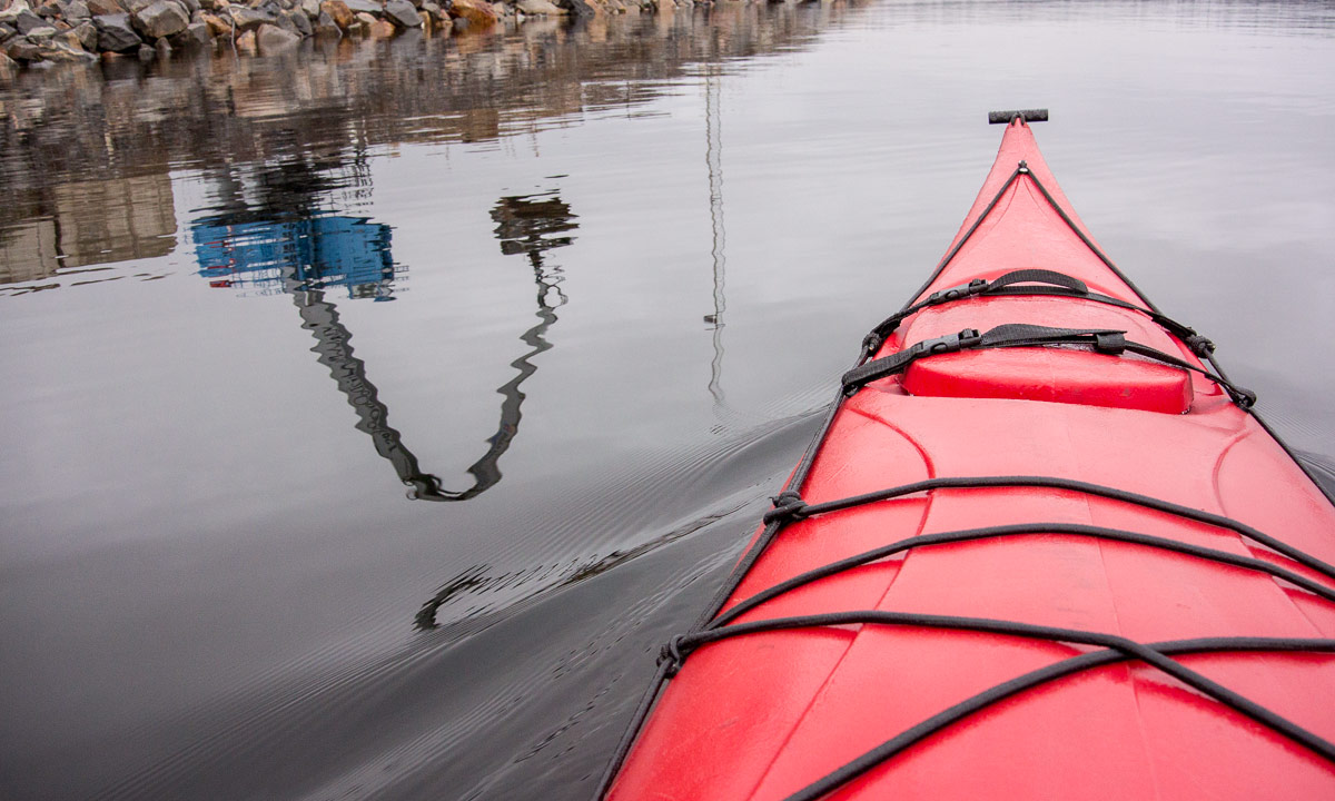
The first 70 meters were hard work. Even when the ice is only 7 mm thick it’s not easy to paddle through because you have to break the ice not only with the kayak itself but with the paddle as well to be able to push forward. But soon I reached open water, crossed the street and reached the larger bay Kallholmsfjärden, home of the port Skellefteå Hamn. At the rear the sky was still blue but in front of me dark clouds approached and soon it started to snow …

No! Wrong! It didn’t snow. Snow stayed home and sent his asshole cousin: Freezing rain. (Rain indeed, sometimes the weather forecast is right.)

I thought back to the time, where I had lived in Essen. In that time I used to say “winter is coming, the rain is getting colder”. And so it felt today. It was chilly, wet, grey, twilit and dull. A typical autumn day in Essen. Or winter day. Or … . But I get off the point …

Anyway when I crossed all the bridges that traverse the channel Kejsar Ludvigs kanal, my mind wandered back again. Here it even looked like Essen.

But there are differences. First of all I never paddled in Essen and then Skelleftehamn is a coastal town which means that you reach the sea in less than no time:

Near the coast there was another layer of ice and again I had to cut through. My plan was to paddle round the peninsula Kallholmen, meaning that I would have to cross the sheltered bay Kurjoviken. Would I manage it or would the ice shield be too thick to be easily crossed? Well, I’ll see …

I paddled along the southern side of Kallholmen. There was hardly any wind and hardly any waves. Time to stop photoing and just enjoying the motion. Kurjoviken however came nearer and when I went round the west tip my misgivings became true. The whole bay was iced.

I gave it a try and started paddling through ice a third time this day. Already after ten meters the ice was 10 mm thick and I knew that I had 500 meters more to go. I decided to give up my original plan and returned. Backwards since it’s hardly possible to turn in ice.

It was still grey and quite dark, but it stopped raining and there was a a silver lining on the horizon.

It started to rain again. The raindrops were so tiny that I hardly could see the drops impacting the water surface. The surrounding looked hazy and mysterious and it was hard to guess distance and size of other objects.

“Is there a man standing on a rock amidst the sea? Or is it just a rock? Did it move or not? It moved! Is it a bird? I’m not sure. Yes, it’s a seabird, perhaps a cormorant. And the four dark spots ahead? Is it small rocks? Or big rocks? Or seals? Or trees far away in the haze?” Probably it was trees, that spot was further away than excepted.

Finally I reached “Ice Shield II” were I used the ice-free channel that I created an hour before. A second time I paddled along Kejsar Ludvigs kanal and reached the harbour.

A second time I crossed the bay, reached “Ice Shield I” and soon went ashore.

Well, let’s say I tried to go ashore. It was easy to leave the kayak but hard to go up the shallow slope, since the cold rain had instantly become ice on the still frozen ground and it was extremely slippery. Did you ever tried to drag a trolley with a kayak behind on freshly frozen streets? With neopren shoes made for water, not for ice? One patch on the street was so slippery that I really felt stuck. I could not move in any direction but finally I made it and some time later I arrived home.

My plan for 2018: Much more kayaking. In sun or rain, night or day – doesn’t matter as long as it’s save.


Freezing over again

This morning was colder than the last ones: -6 °C. As a result the protected water area between the island Storgrundet and the mainland had partly frozen over in the night. The ice however is hardly some millimetres thick and probably won’t last long.

Freezing over

One cold night and the big lake Snesviken starts to freeze over. Even the sheltered bay between mainland and the near island Storgrundet is partly covered with a very thin layer of new ice.

This ice however won’t last long. Either it will melt when days get warmer again or the next wind will break it apart.

Ships and boats in Skelleftehamn

Today I planned to make some autumnal pictures in the early evening. I took the car to the small boat harbour tjuvkistan in Skelleftehamn. It felt like ages ago that I had been there. On the way there I saw a ship anchored in the commercial port. I stopped and to my surprise it was a ship from my hometown: The “Seabass” from Bremen. Of course I had to take a picture:

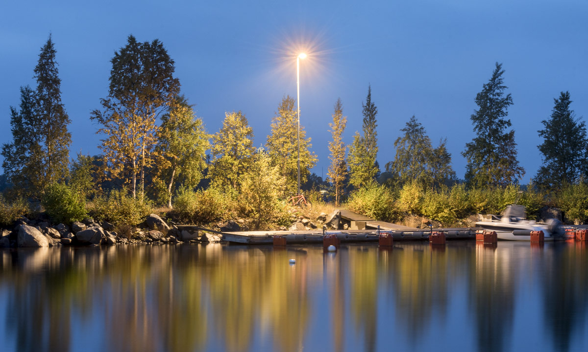
I went on to tjuvkistan and took some photos with trees (and boat navigation lights) reflecting in the sea. Still many boats lay in the small harbour or were on the way from or to the islands, but soon most boat people will set their boats on land before the weather gets too cold.

Hopefully I will have some other opportunities to make more pictures as long the leaves have not fallen down.


Three trips round Tromsø

This article is part of the series “2017-07: Tromsø”.

It’s me who is thrilled by the North, who loves to travel to places like Tromsø or Kirkenes. It’s my mother however who has been much northerly than I was. She was in Spitsbergen/Svalbard with a cruise ship many years ago. But on the way back the route had to be changed due to fields of drifting ice and therefore the travellers couldn’t leave the ship in Tromsø. So my mother missed Tromsø on that cruise.

This year we managed to close this gap: three weeks ago my mother took a plane to Munich, another plane to Oslo and a third plane to Tromsø, where Annika and I picked her up from the airport. That’s why we’d travelled to Tromsø by car two days before.

We had four days in Tromsø, I will write mostly about the first two:

Monday, 10 July

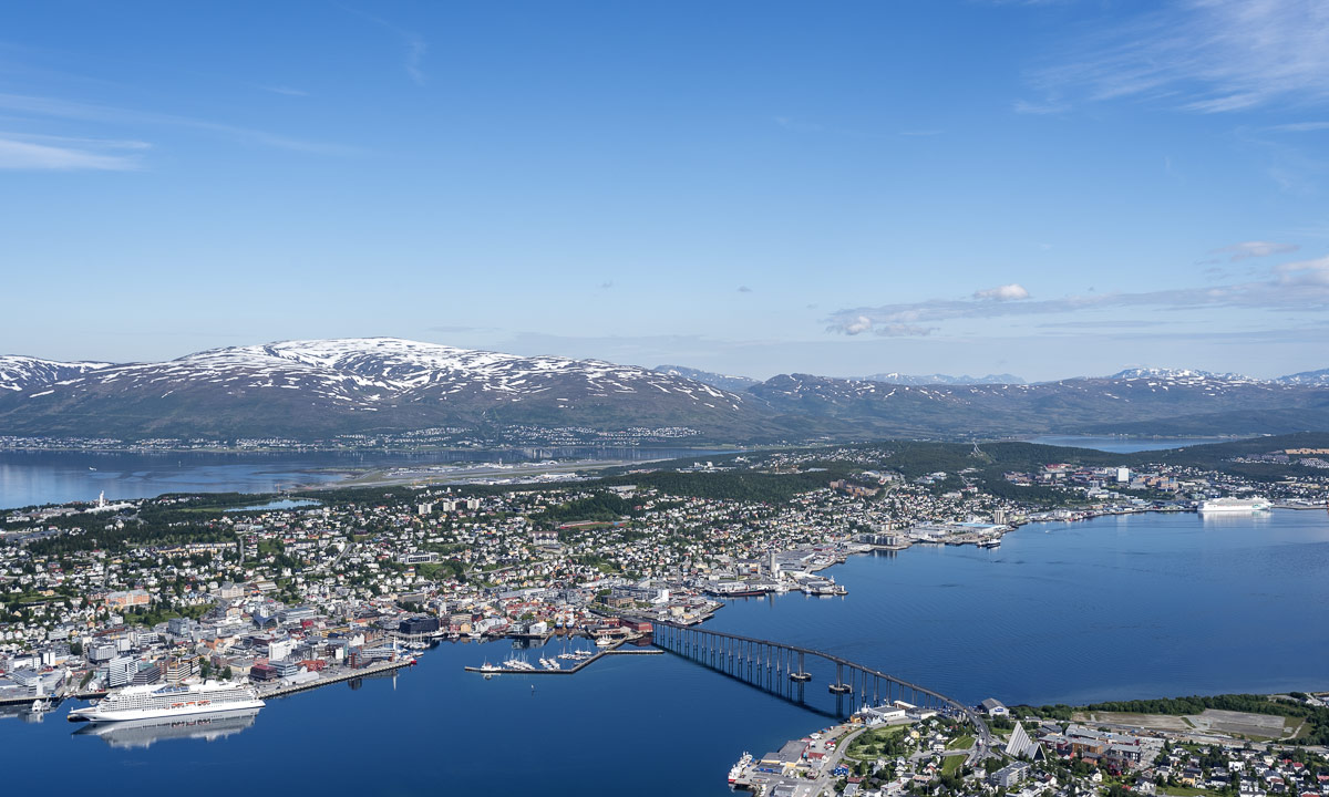
Weather was better than forecasted and so the first thing we did after breakfast was taking the car, crossing the Tromsøysundet on the Tromsø Bridge and taking the Fjellheisen on the other side of the town. Fjellheisen is a cable car up the mountain Storsteinen (approx. 420 m), where you have an incredible view over the town Tromsø, the island Tromsøya and the mountain ranges on the neighbouring islands.

We stayed there the whole morning, enjoying the view, walking around, eating ice cream and looking at the arctic flowers that grew everywhere.

Finally we went down with the cable car again driving back to Tromsø and since the weather was sunny and nice we just continued driving, leaving Tromsøya again, this time using the Sandnessund Bridge. We continued our trip on the island Kvaløya (Whale island), Norway’s fifth largest island. At the western end there’s a bridge leading to the island Sommarøya which sometimes looks like like a caribbean island with it’s turquoise blue bays.

Annika and I were very keen to take a bath, but we all were hungry too, so we took a lunch first. While we were eating our fried fish, clouds approached and soon it started to rain. So much to our summer bath plans …

After looking around on Hillesøya (another bridge, another island) we drove back, this time taking the coastal way in the south of Kvaløya. Finally even the sun came back and illuminated the bright yellow blossoms of Lotus corniculatus, or common bird’s-foot trefoil that covered the sides of the narrow road.

Have a look at the beach photo above. It’s not sand, it’s corals covering this beach, which makes them looking even more caribbean – at least as long it’s sunny.

Late in the afternoon we arrived at our hotel after our first day together.

Tuesday, 11 July

After the rainfalls of the night sun came out again. Time for another trip to the surroundings – this time the island Senja, Norway’s second largest island (beside of Svalbard).

The first part of the tour was the same as the trip to Sommarøya the day before, but instead of turning right the last T-junction we turned left to Brensholmen and waited for the ferry to Botnhamn/Senja. Annika downloaded an app to pay the passage, since it was much cheaper than paying cash. As in Sweden it has become quite unusual to pay cash. The idea to start early was a good one, we were one of the last cars to fit on the ferry. Some others were unlucky – they had to wait for many hours or change plans.

Hour plan was to take a round trip on Senja using the roads 862, 86 and 861. In addition to that we planned to take some side trips.

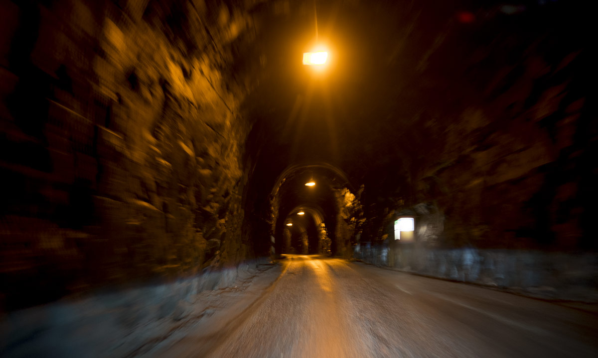
The first side trip was special, since it led through a dark tunnel cut into the rock, that much too narrow for two cars to pass. In addition to that it was curved and bent so that you couldn’t see other approaching cars in advance. There were lay-bys were you could try to squeeze in and let others pass and I was really glad that the regular bus had left the tunnel minutes ago.

But when we left the tunnel we got “Norway in a nutshell”: Wide bogs, birch and pine forests, clear blue lakes, green meadows and fields and most impressive: big snow covered mountains, some of them looking unreachable by foot, so steep and harsh they were.

But it wouldn’t be Norway without the fjords. Sometimes the coast is as rocky as the mountains, sometimes it provides sandy beaches in beautiful bays. And finally we came to our bath, all three of us. Of course the water was cold, but the air was warm and we stayed in the water quite a long time.

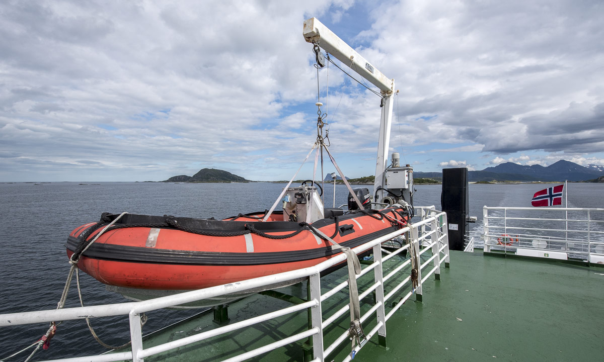
We continued our round trip, again some clouds approached and again some rain drops fell. I thought we’d have to wait an hour for the ferry back, the ferry arrived simultaneously. I realised that I looked wrong when I checked the timetable, but we were lucky and found a place on the ship anyway.

On the way back we didn’t stop for taking pictures any longer. First of all the weather had become grey and dull and then we were tired and hungry. So we stopped only at the supermarket to buy some food for the dinner.

The other days

We did it right, making the larger trips in the beginning, because the other two days it was cloudy and rainy. Time for some sight seeing and indoor activities in the city that we hardly touched the last two days.

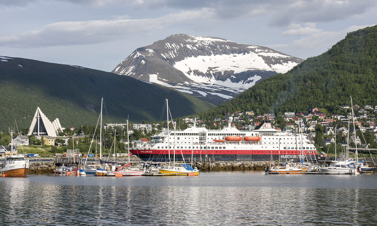
We visited the Polarmuseet – we went shopping (kind of) – we tried to visit the Tromsø Cathedral (in vain, it was closed).  We visited a photo exhibition in the Universitetsmuseet – we were on board of the seal hunting ship Polstjerna (another museum) – we strolled around in the beautiful botanical garden (hard to find!). We ate lunch or dinner at the harbour – we visited the park Prestvannet – we visited the Hurtigruten ship Trollfjord, the very same ship Annika and I travelled with last winter. Did I forgot something? Certainly!

On friday we started our road trip back to Skelleftehamn were I live, but that’s another story.

Travelling to Tromsø

This article is part of the series “2017-07: Tromsø”.

Sometimes I’m just too lazy to blog and so was I the last weeks. Today however I finally want to write about a great trip to Tromsø, that Annika and I started on 7 July, almost three weeks ago.

Tromsø is in located in the North. Very far north. It lies 344 km north of the polar circle and is the northernmost town of the world with more than 50,000 inhabitants. It has the northernmost university, both the northernmost cathedral and mosque, the northernmost brewery and probably some more northernmost things of the world.

The shortest route by car from Skelleftehamn to Tromsø leads over Luleå, Pajala, Kilpisjärvi (Finland) and Nordkjosbotn (Norway) and that’s the route Annika and I took.  We had a lot of time and planned to stay overnight twice, but didn’t plan where.

The first part of the route, the E4 leading north, is kind of boring. At least you’re allowed to drive 110 km/h – the maximum allowed speed of the whole journey. In Töre we left the E4, took a break and ate in the Restaurang Roady – the first KRAV-certified sidewalk restaurant.

After lunch we continued northwards. After 50 km we reached Holgers Traktor Museum in Svartbyn, which is always worth a visit. Since it was late – we started our trip in the afternoon – we just made a short stop to take a picture and then continued our trip.

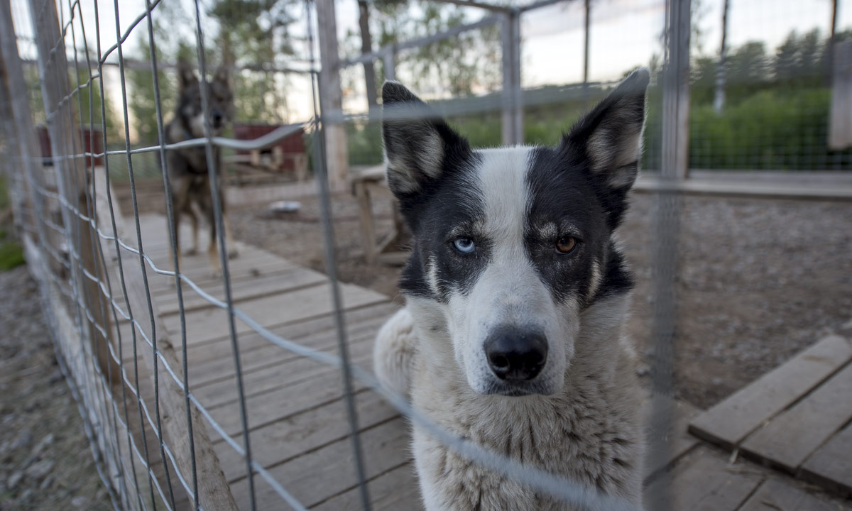
Where to stay? Perhaps we could stay with Katharina whom I met last winter. She lives in Miekojärvi between Överkalix and Övertorneå. We tried to ring her, but she didn’t answer the call. Anyway it’s just a detour of 30 kilometres so we just gave it a try. Katharina has round 20 huskies and someone has to feed them. When we arrived at her house, a man left the shed, looked at us and we were quite surprised to meet Sascha whom we met before in Solberget several times. What a lucky coincidence! So we found not only our first overnight stay but great company, too! Thank you, Katharina (abroad) and Sascha for your hospitality!

The next day we continued our tour after a nice and rich breakfast. We crossed the arctic circle and watched the reindeers.

First stop: Pajala, where a big market took place. Here you could buy a lot of things between tradition and modern age.

After two hours we left the hurly-burly and entered the car again. We crossed the Swedish–Finnish border and followed the E8 which was more construction site than main road. We passed Karesuvanto, where I was sure to meet a food store. All stores however are on the Swedish side, in Karesuando. Not a problem, if you have bread with you and then are given butter, cheese and salami as a present on the super-nice camping ground Lätäsenon Majat near Enontekiö, where we stayed overnight.

Next day we passed Kilpisjärvi near the border triangle, where Sweden, Finland, and Norway meet and soon we were in Norway. Norway is my favourite country in summer because the landscape is so varying and beautiful that even I make photos from within the car:

In Skibotn we saw the first fjord – the Lnygen – and made a break. Annika used it for jogging and I for looking around and taking pictures. I love to stand at the shore, the feet in the water, the view either on the shells or on the fjord and the still snow covered mountains. But the seagulls didn’t like me standing there and they flew some feint attacks, luckily in vain. They don’t dare to come really close.

In Nordkjosbotn we ate hamburgers for lunch. It’s not easy to get anything other than burgers and pizza in Northern Norway outside the cities, but sometimes I like fast food, especially when travelling. From Nordkjosbotn it’s only another hour to Tromsø, where we arrived in the afternoon.

Here we would stay for four whole days with … but that’s another story for another blog article. Stay tuned!