25 August: Kungsleden day 6 – Sälka—Nallo (10 km)
This article is part of the series “2017-08: Kungsleden hike”.
Today we would leave the Kungsleden. Instead of the route Sälka—Tjäktja—Alesjaure (25 km) we would go Sälka—Nallo—Vistas—Alesjaure (37 km). Annika and I have been in Nallo two years before and fell in love with that place.
Again we woke up early, again it was cold with temperatures round +2 °C and again snow had covered the mountains over night, this time not only the highest peaks. After our breakfast—cleaning—packing routine we left the crowded Singistugorna hoping for less people in Nallo.

We went up a bit, but were on the wrong side of some alpine brooks. Katrin and Andi returned to use the small bridges, Annika crossed the brooks by balancing over some stones, I just waded through – one of the advantages of using rubber boots.
First the landscape didn’t seem to change but gradually the flowers and other plants lessened and the terrain became stony and harsh.


The mountains that framed the valley Stuor Reaiddávággi were rugged and rocky and powdered with snow. The lack of plants let them appear colourless.


More and more we had to cross boulder fields and some smaller streams. Water ran everywhere and we had to look for the path that was marked with piles of stone. Not easy to find in a landscapes made of rocks and boulders, even if some of the top stones were of white quartz.
It was cold, windy and then it started to snow.


We went along the lake Reaiddájávri. We would have to cross the river right behind the lake before it cuts down into a deep uncrossable ravine. Two years before Annika had to wade through in sandals, because the water was to deep for her boots. There are nicer things than wading through ice cold water while it’s snowing …
We were lucky. The water level was low and someone obviously had build a fort of stones that were quite easy to cross. We were cautious anyway, because no one wants to fall into icecold water with a backpack and fully clothed.

We succeeded and took a short rest to eat some chocolate (crucial food on hiking tours!) but we continued soon because of the chilly weather. We followed the Stuor Reaiddávággi and crossed some side valleys with old snow fields – reminders of last winter.


The precipitation got stronger, more rain than snow. While the others continued through the alpine and arctic landscape I went to the ravine to take pictures of the waterfall, but I soon gave up, since the rain fall grew too strong. The last photo after catching up with the others is blurred from the rain on my lens.


Finally we arrived at Nallo 12:30 and were delighted, that only few others had come there as well. We cooked an instant noodle soup and took a midday nap.
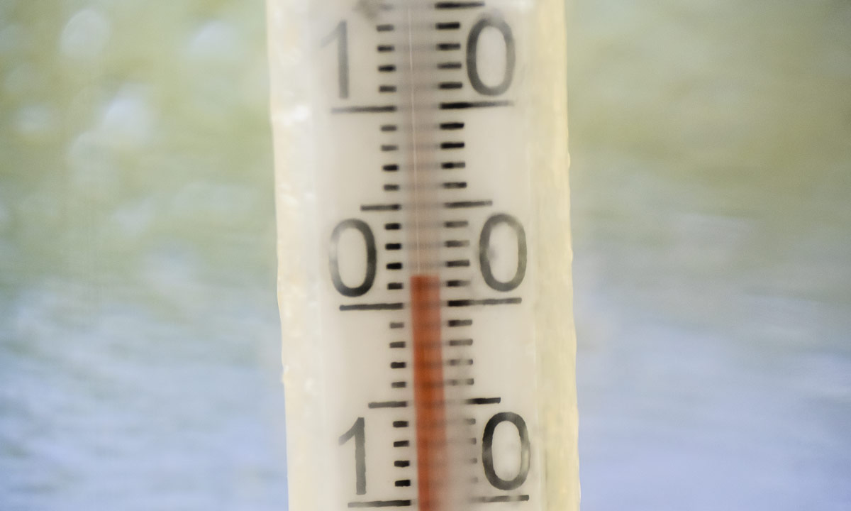
In the afternoon it had started to snow stronger and the wind speed increased while the temperature dropped to +1.5 °C.

The ground was still bare of snow – a good thing for the reindeers, that grazed in the valley.


Snowfall however continued the whole day and evening and slowly started to cover the ground. How good that we planned to take a day of in Nallo the next day.