A weekend in the Skuleskogen National Park
You just leave Umeå by car on the E4, head southwards to Örnsköldsvik and continue a while, leave the E4 in direction Köpmanholmen and Näske and continue to “Entré Nord” (entrance north). You park your car, shoulder your backpacks and follow the signs. And soon you stand amidst the fantastic forests of the Skuleskogen National Park.

Annika got visit of her friend Johanna last week. A good opportunity for us to spend a weekend together in the Skuleskogen National Park. Since our planned tour for Saturday was not so long, we started our hike not until 12 o’clock. In addition to the usual stuff as rain jacket and spare clothes we had a lot of food and water with us. Much water, since we weren’t sure if we would find any near the cottage – much food as potatoes, sausages and a lot of salad because we just wanted to have a bit of luxury.
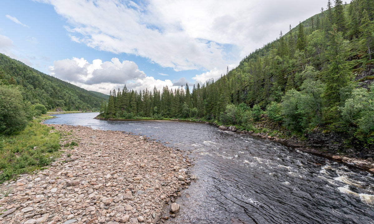
The first part of the trail through the forest was fantastic, almost magic. Old trees bespangled with lichens, big rocks coated with green moss and from the left a pale light signalising that the Näskefjärden – part of the Baltic Sea – is not far away.


And “not far away” means: just a few meters.

Annika and I looked forward to take a bath, but first we wanted to reach the cottage on the islands Tärnättholmarna to leave some of the heavy luggage there. When Annika told me about the beautiful cabin on the inshore island of the Tärnättholmarna I wondered how we would come there. Is there a bridge? Do we have to take a boat? Wade? Jump? Swim across? Anyway my wonderings were useless: Since the glaciers of the last ice age had melted any, the land has been rising again – still 8 mm a year! This phenomenon is called post-glacial rebound. That’s why the Tärnättholmarna have been islands in older times, but nowadays are connected with the mainland by a broad band of sand.
It’s not far away to the cottage and we reached it within a good hour. We left most of the food, most of the water, some spare clothes and our sleeping bags and continued much more lightweight. (Beside of me, who had 5 kilos of camera equipment with me, but that’s my problem and most of the time I don’t complain …)

We continued the forest trail southwards. It’s an easy way but not the most interesting part of the National Park in my opinion. Anyway we walked still along the shore and the beaches were sandy and the water was clear and the sun shined … . Time for Annikas and my long yearned-for bath. The water was chillier than expected but so refreshing!


After we have dried in the sun we continued our Saturday hike, now heading north. Here the trail climbs round about 265 meters, if you take the eastern variant. That may not sound much but the change in the landscape is really impressive:
Starting just 200 meters away from the sandy beach you walk through a dense forest of primeval old, large trees. Sometimes the trail is covered with cobblestone-like stones, sometimes with a maze of tree roots, sometimes it just leads over jogged rocks. All of the sudden, the path turns right, leaves the forest and you stand on solid red granite rock. You look up and see more rocks and – yes! – that’s your way up! You follow the marks, sometimes by walking, sometimes by climbing up the steep or rugged passages.


Finally we were up on a rocky and bald plateau and had amazing views over the mountainous forests in the west and the Baltic Sea with its many islands in the east. Unfortunately it was quite cloudy when we went there and I hardly took any pictures. Between the next two photos lie 34 minutes and about 50 metres in height. The descent however is far away from being easy. You have to climb down through rocky terrain with a gradient of 50%.


And then you stand at the upper entrance of the famous Slåttdalsskrevan. Wooden stairs are leading down into that ravine where the trail continues downwards. Inside the ravine it’s so dark, that the contrast to the sky is too high for my Nikon D-800. Either the rocks are just black or sky is just white.


After leaving the ravine we still had to climb down, now again surrounded by forest. After a while we came to the lake Tärnättvattnen. The sky brightened up again and the view of the lake mirroring the blue sky was just marvellous. Johanna, Annika and I agreed in staying at that place overnight, when we should be there once again, even though that cottage is much smaller than our choice.


Now we were not too far away from our todays destination: The cottage on the peninsulas Tärnättholmarna. But even 2.5 kilometres can be demanding if there is another steep and rocky crescent. And so it was. If this passage was in the German Alps there would have been several warning signs about the necessities of alpine experience. In Sweden however you rely on the people, that they know, what they do. It seems to work well.
That’s how a part of the descent looked like when looking back:

I was really exhausted when we were “home” at our cottage, that we shared with two really pleasant Swedes. Annika proofed her abilities of outdoor-cooking while Johanna, though being a total beginner, showed her strong woodchopping skills. The only fault: the sausages were quite disgusting. I shouldn’t complain, it was me, who chose them … . After our outdoor dinner at the fireplace and some talk we all went to bed, glad to stretch the tired back and limbs.
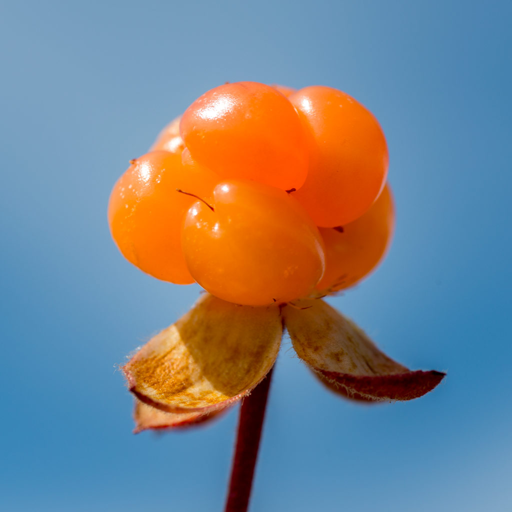
The next day? Nice, smooth and relaxed: A breakfast with yesterday hard-boiled eggs, homemade bread, hot chocolate, and Västerbottens Ost, a local cheese. Strolling around the peninsulas – eating blueberries – sitting on the rocky shore beside the Baltic sea – eating some more blueberries – taking it easy. Taking an outdoor lunch with roast potatoes (with the rest of the sausages) and salad. I took a short nap and after that we packed our now quite empty backpacks, cleaned the cottage and went back to the parking place, where we arrived one hour later. The most challenging part of the day was my car drive back to Umeå, i was so tired!
It was a fantastic weekend. Thanks for the nice company, Johanna and Annika!
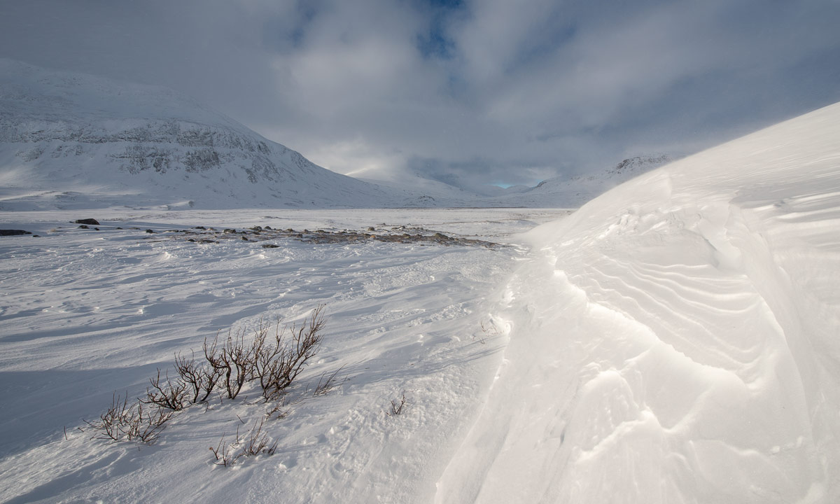
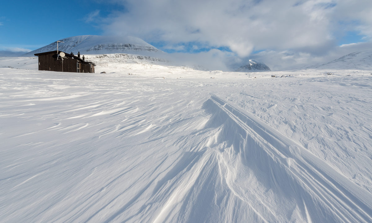
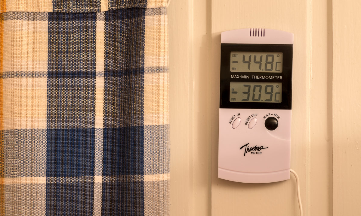
Some Sunday expressions in and round the cottage:


Links:
- Skuleskogen National Park (Wikipedia)
- Skuleskogen National Park (“Sveriges Nationalparker”)
- A blog article about a hike in the Skuleskogen in 2012 (My former German blog Nordwärts)
- Map of the National Park